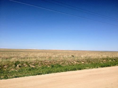
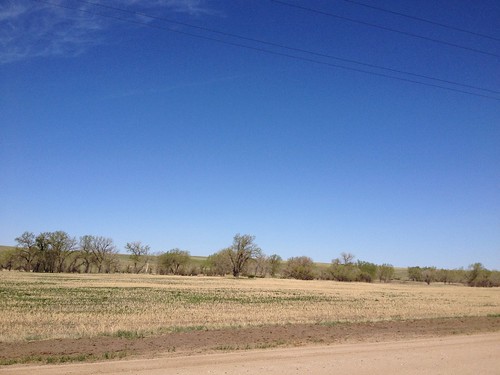
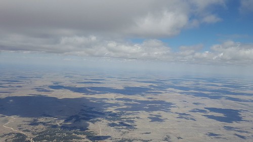
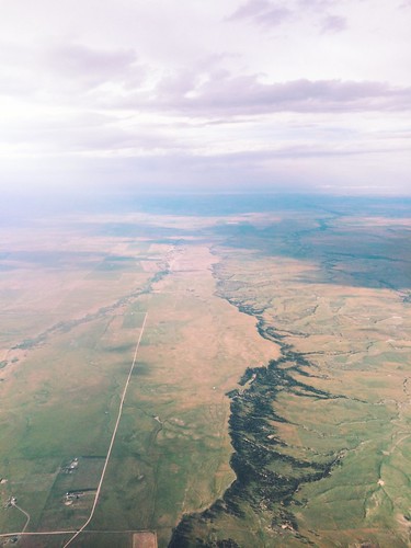
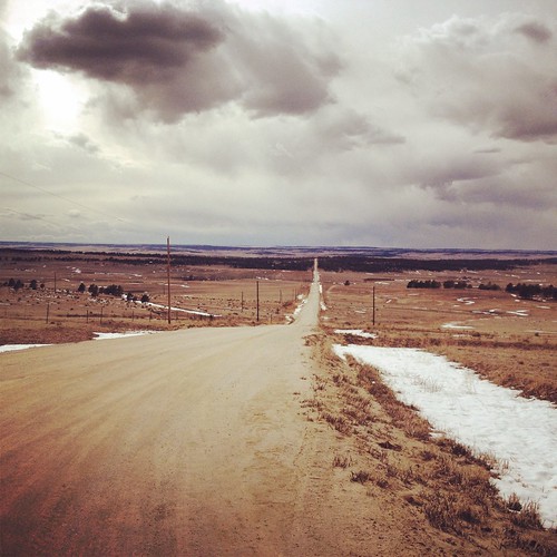
Elevation of Ridge Rd, Agate, CO, USA
Location: United States > Colorado > Elbert County > Agate >
Longitude: -104.19791
Latitude: 39.4274317
Elevation: 1871m / 6138feet
Barometric Pressure: 81KPa
Related Photos:
Topographic Map of Ridge Rd, Agate, CO, USA
Find elevation by address:

Places near Ridge Rd, Agate, CO, USA:
24160 Agate Trail
59696 East Powers Place
East Powers Place
7240 S Co Rd 149
4766 S Co Rd 157
Arapahoe County
Byers
5885 Kiowa-bennett Rd
8096 Co Rd 162
44626 Lariat Trail
Strasburg
1596 Arapahoe St
3789 S County Rd 129
North Co Road 129
7142 Sun Country Dr
40355 Rendezvous Cir
40555 Valley View Ct
5245 Timber Pl
5030 Cedar Way
42350 Co Rd 17/21
Recent Searches:
- Elevation of Corso Fratelli Cairoli, 35, Macerata MC, Italy
- Elevation of Tallevast Rd, Sarasota, FL, USA
- Elevation of 4th St E, Sonoma, CA, USA
- Elevation of Black Hollow Rd, Pennsdale, PA, USA
- Elevation of Oakland Ave, Williamsport, PA, USA
- Elevation of Pedrógão Grande, Portugal
- Elevation of Klee Dr, Martinsburg, WV, USA
- Elevation of Via Roma, Pieranica CR, Italy
- Elevation of Tavkvetili Mountain, Georgia
- Elevation of Hartfords Bluff Cir, Mt Pleasant, SC, USA
