Elevation map of Larimer County, CO, USA
Location: United States > Colorado >
Longitude: -105.59433
Latitude: 40.6955572
Elevation: 2224m / 7297feet
Barometric Pressure: 77KPa
Elevation Map:
Satellite Map:
Related Photos:

35010_01510.jpg

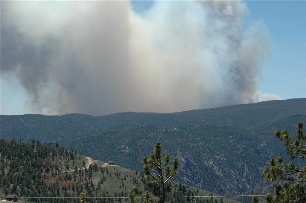
High Park Wildfire

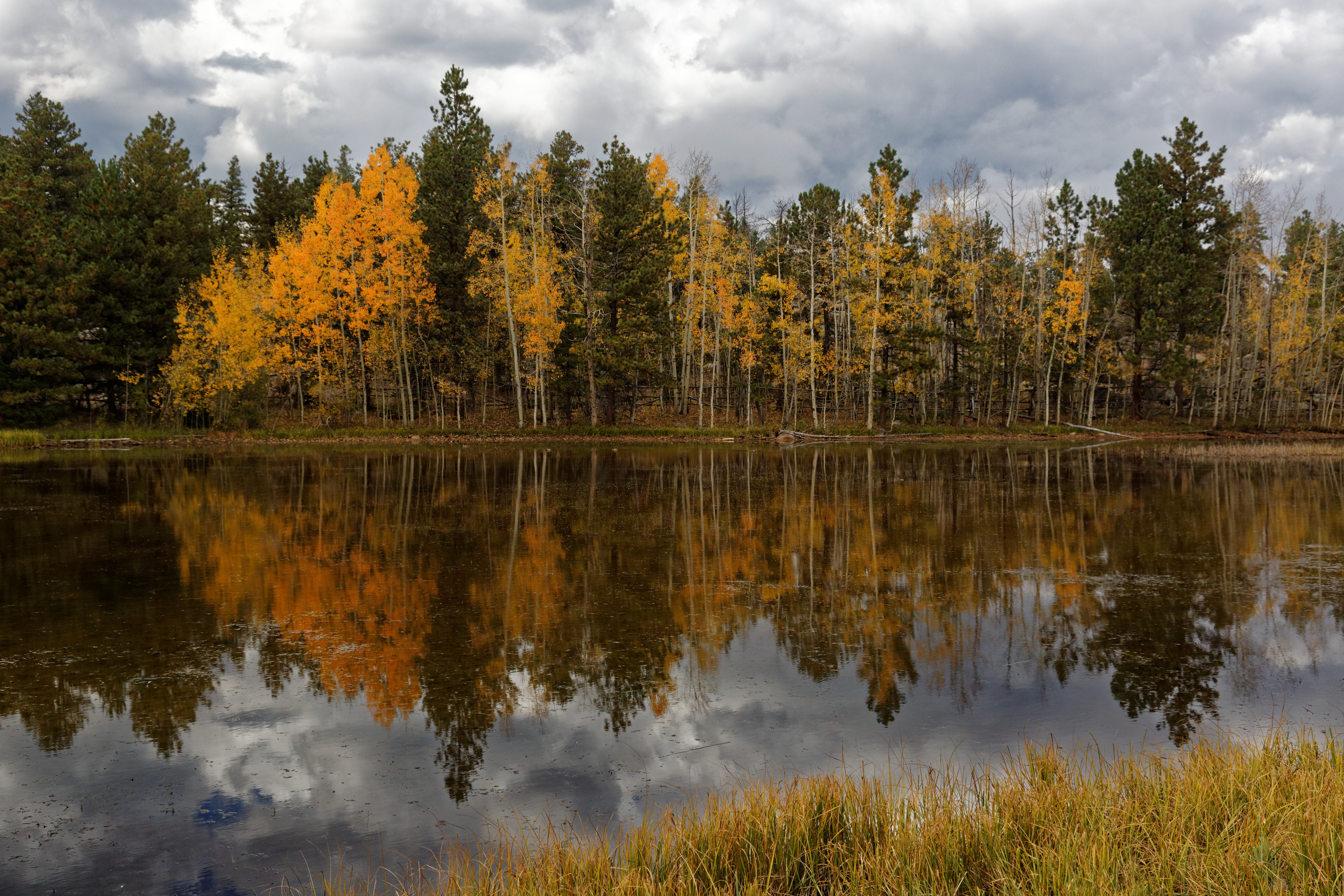
Aspen Leaf
View from Mt Bierstadt
Mountain View
See More, Go To Flickr & Search "DrShawnboy" - People
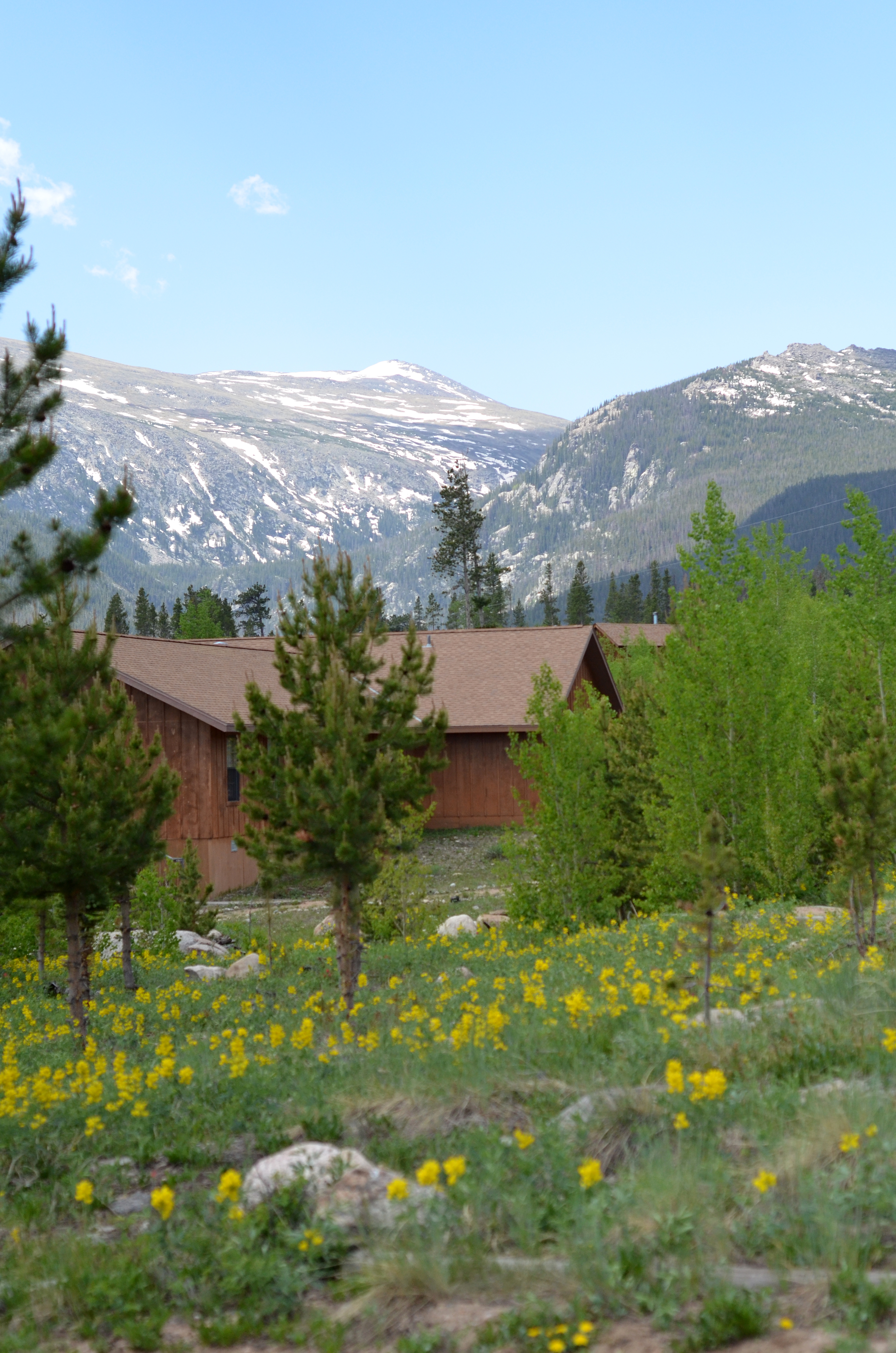
Cabin and Mountain View

Murry Recovering

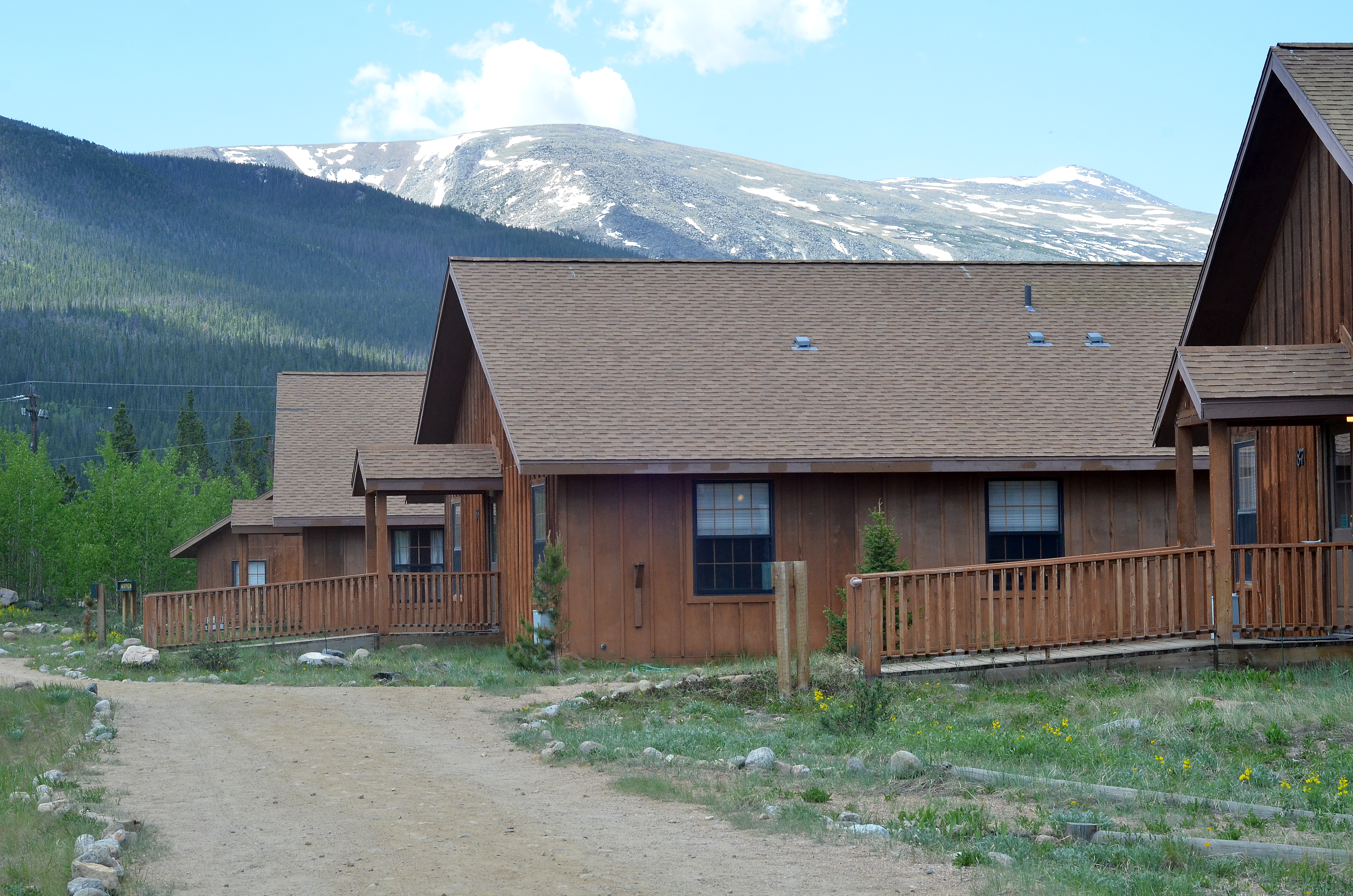
View From Cabin
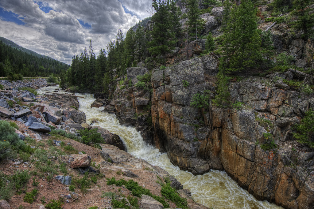
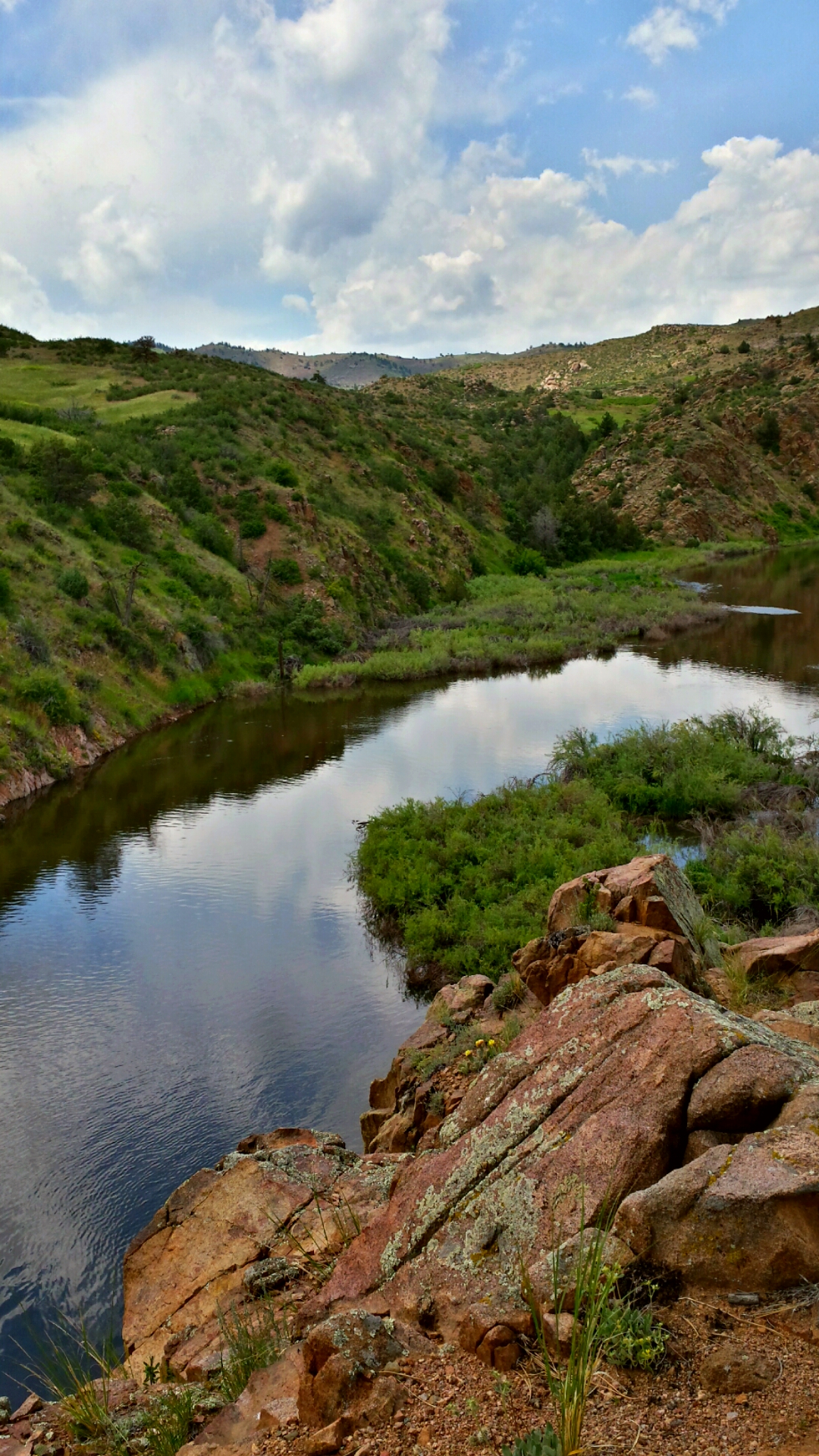
Poudre River
Off-roading 6-23-14

Last momths trip to #ShambalaMountainCenter
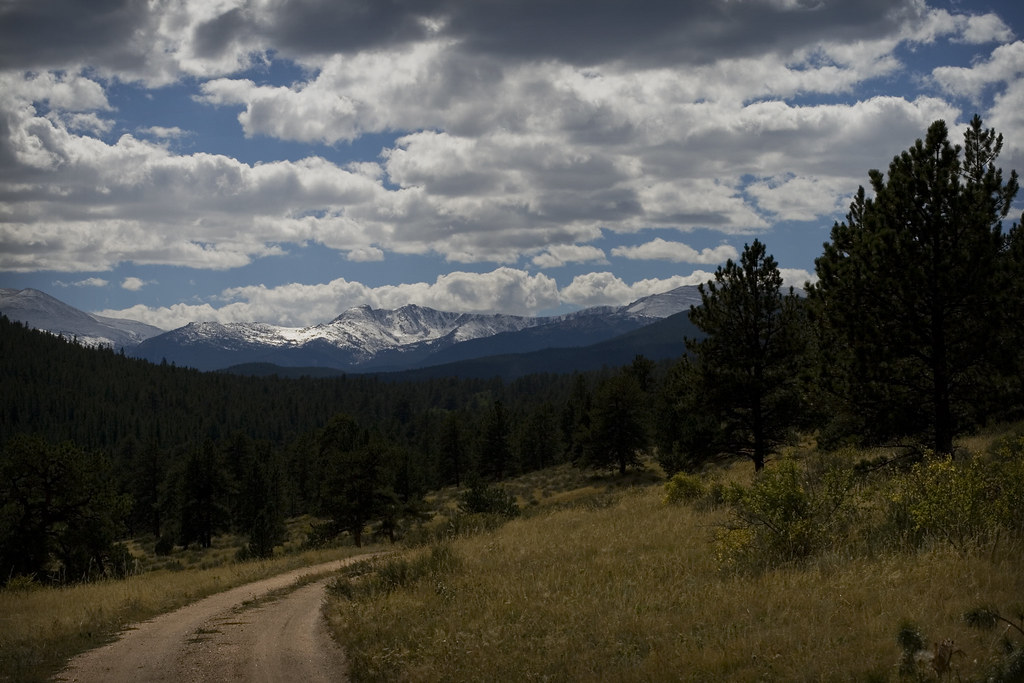
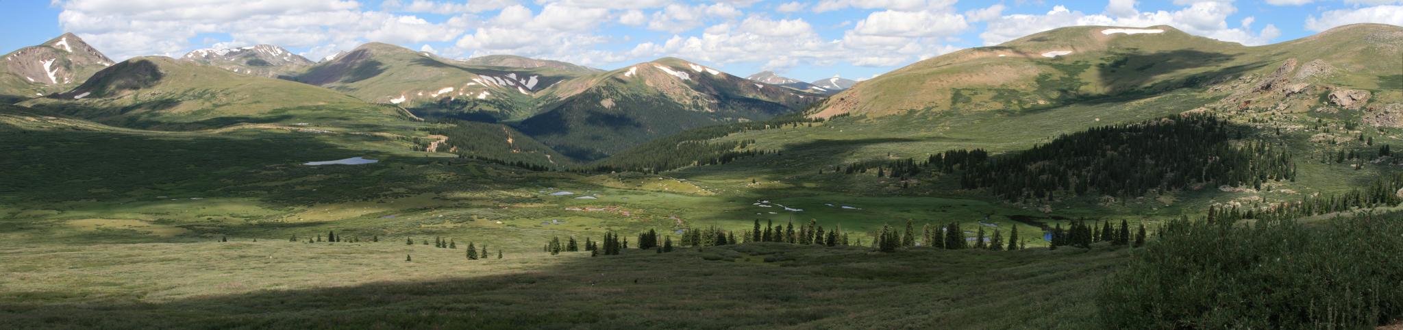
Mountains and Clouds

Colorado 2006 182
Off-roading 6-23-14

Twin Lakes
Off-roading 6-23-14
All up
Kinikinik Panorama
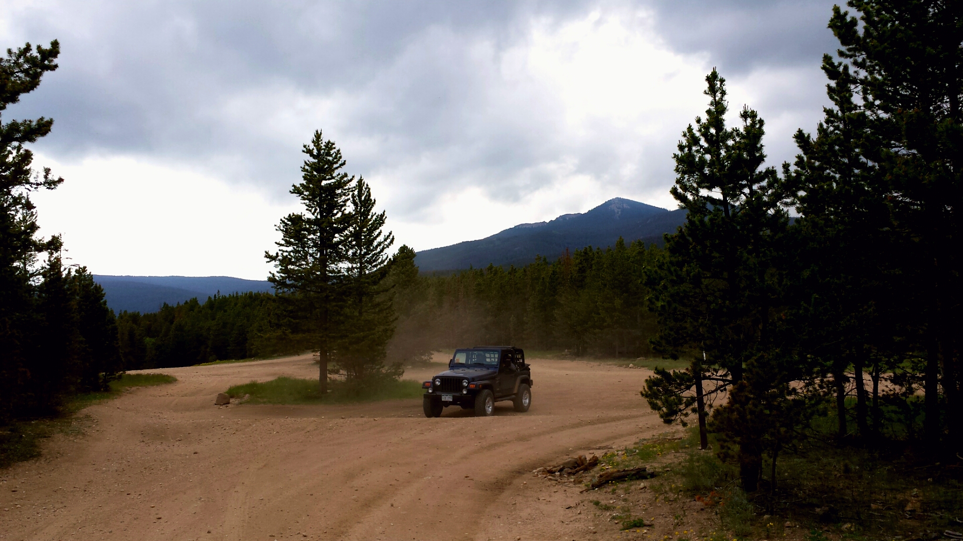
Off-roading 6-23-14
Mount Margaret Trail 10/3

Colorado 2006 016

Off-roading 6-23-14

20110924-_DSC9160
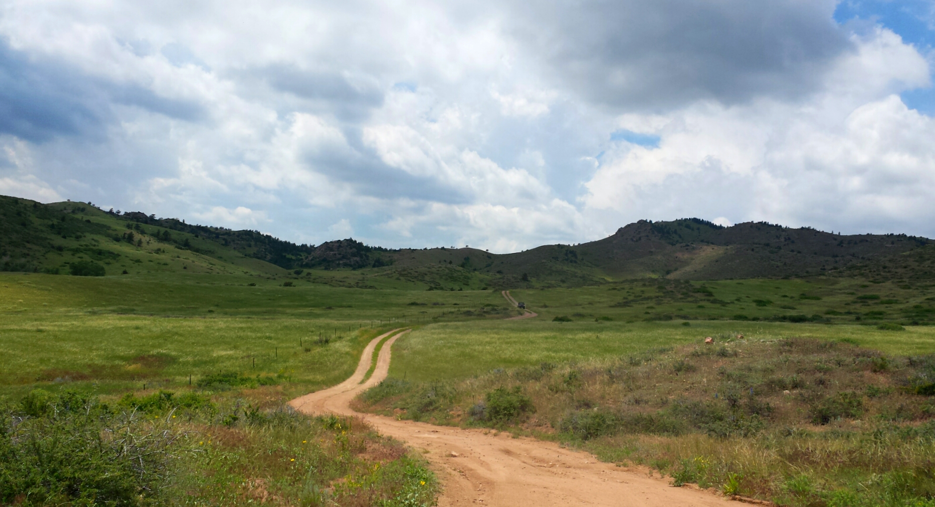
Off-roading 6-23-14
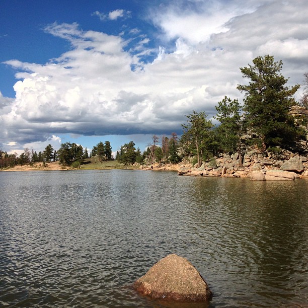
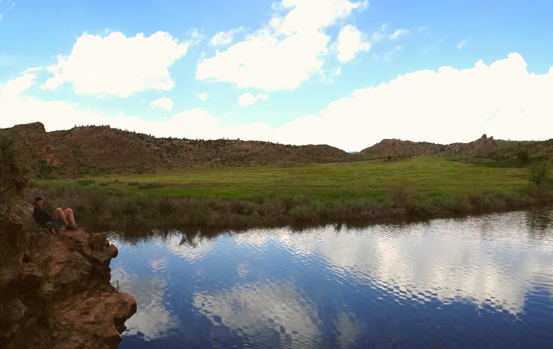
When in #Colorado you follow Manhattan Road you get to find this: another beautiful lake surrounded by boulders.
Weathers changing

IMG_0149.JPG
Time to leave

Mt. Sopris Thunderstorm "It is better to have less thunder in the mouth and more lightning in the hand." - American Indian Proverb
Topographic Map of Larimer County, CO, USA
Find elevation by address:

Places in Larimer County, CO, USA:
Fort Collins
Livermore
Red Feather Lakes
Drake
Loveland
Lyons
Windsor
Berthoud
Glen Haven
Laporte
Timnath
Wellington
Deadman Lookout
North Middle Mountain
North Rawah Peak
South Rawah Peak
West Bull Mountain
Co Rd 92, Carr, CO, USA
Rustic
Arrowhead
Virginia Dale
Spencer Heights
Places near Larimer County, CO, USA:
32759 Poudre Canyon Rd
185 Meadow Ln
Rustic
33021 Poudre Canyon Rd
31370 Poudre Canyon Rd
Poudre Canyon Chapel
33707 Poudre Canyon Rd
Pingree Hill
35 Black Hollow Rd
Poudre Canyon Rd, Bellvue, CO, USA
Shambhala Mountain Center
26976 Co-14
Quigley Mountain
68 Co Rd 63E, Bellvue, CO, USA
Pingree Park Road
224 Whispering Pines
Kelly Flats Campground
Crown Point
18100 W County Rd 74e
Mountain Park (recgovnpsdata)
Recent Searches:
- Elevation of Corso Fratelli Cairoli, 35, Macerata MC, Italy
- Elevation of Tallevast Rd, Sarasota, FL, USA
- Elevation of 4th St E, Sonoma, CA, USA
- Elevation of Black Hollow Rd, Pennsdale, PA, USA
- Elevation of Oakland Ave, Williamsport, PA, USA
- Elevation of Pedrógão Grande, Portugal
- Elevation of Klee Dr, Martinsburg, WV, USA
- Elevation of Via Roma, Pieranica CR, Italy
- Elevation of Tavkvetili Mountain, Georgia
- Elevation of Hartfords Bluff Cir, Mt Pleasant, SC, USA