Elevation of Rustic, CO, USA

Location: United States > Colorado > Larimer County >

Longitude: -105.58091

Latitude: 40.6993741

Elevation: 2182m / 7159feet

Barometric Pressure: 78KPa

Elevation Map:

elevation map of Rustic, CO, USA

Satellite Map:

Satellite map of Rustic, CO, USA

Related Photos:

usa colorado unitedstates coloradoscenery coloradoenvironmentandscenery pingreeparkcampus coloradomountainscenery wintercoloradomountainscenery
35010_01510.jpg
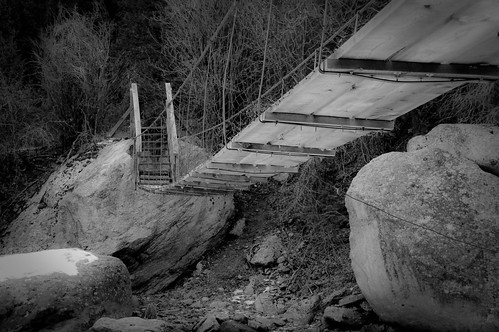
bridge blackandwhite snow rock nikon colorado poudre cachelapoudre d40
Walking Bridge
Poudre Canyon
canon rebel colorado pingree xti 400d
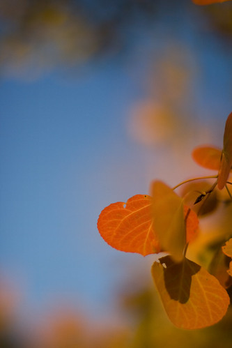
Aspen Leaf
View from Mt Bierstadt
Poudre Canyon
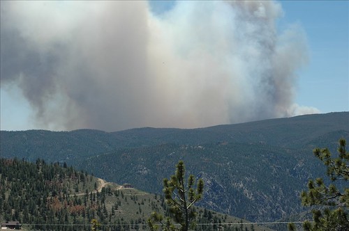
wildfire coloradowildfire highparkfire glacierviewmeadows 11thfiling poudrecanyonburning
See More, Go To Flickr & Search "DrShawnboy" - People
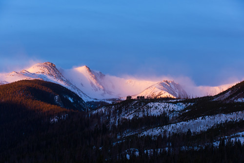
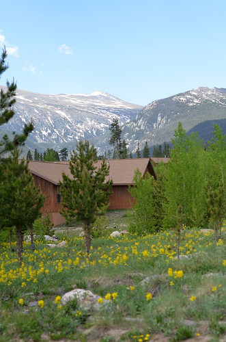
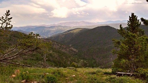
Mountain View
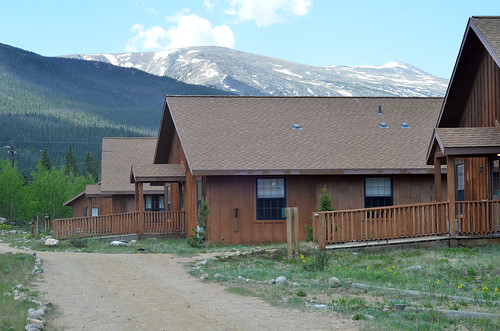
Cabin and Mountain View
trip sled redfeatherlake
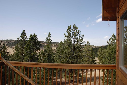
View From Cabin
Gorgeous, unobstructed views
park landscape scenery rockymountains pingree mummyrange wildproject
The Mummy Range
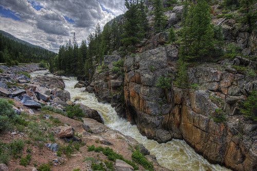
sky mountain tree nature water rock clouds forest river landscape waterfall log colorado fortcollins falls poudre 201407
Poudre River
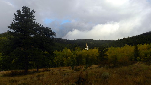
The Great Stupa of Dharmakaya, Which Liberates Upon Seeing -- Red Feather Lake, CO
square squareformat hudson iphoneography instagramapp uploaded:by=instagram foursquare:venue=4cc5120f3ed5199c31ba4a1e
Last momths trip to #ShambalaMountainCenter
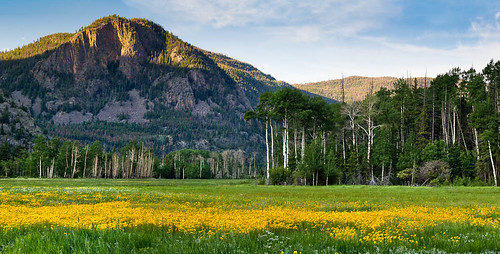
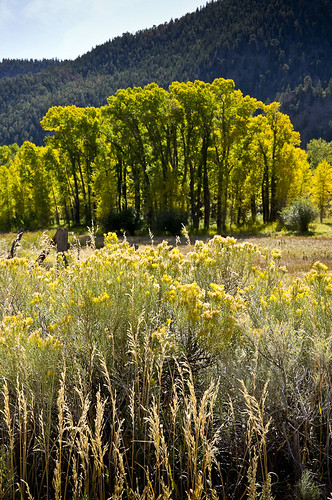
morning flowers trees summer panorama usa mountains flower green nature yellow clouds sunrise canon landscape dawn scenery colorado unitedstates natural scenic bluesky panoramic aspen wildflower poudre flowersplants highway14 larimercounty sleepingelephant t2i kinikinik canont2i
Kinikinik Panorama
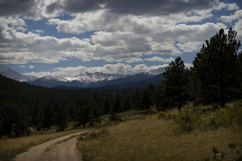
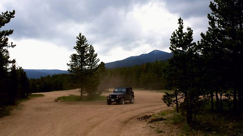
road sky mountains pine clouds forest canon rebel colorado dirt 50mmf14 canon50mm canon50mmf14 pingree xti 400d
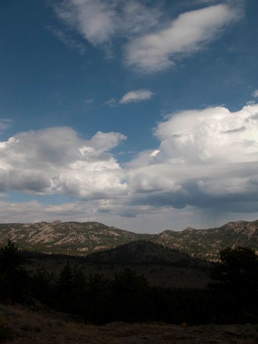
Mountains and Clouds
All up
Twin Lakes
Off-roading 6-23-14
vacation alan nicole engagement colorado patrick 2006 stephanie blizzard
Colorado 2006 182
Off-roading 6-23-14
Off-roading 6-23-14
vacation alan nicole engagement colorado patrick 2006 stephanie blizzard
Colorado 2006 016
Off-roading 6-23-14
geolocation geocity camera:make=canon exif:make=canon exif:isospeed=800 geocountry geostate exif:lens=ef24105mmf4lisusm exif:focallength=105mm exif:aperture=ƒ71 exif:model=canoneos5dmarkiii camera:model=canoneos5dmarkiii geo:lat=4079938594 geo:lon=10555197841
Mount Margaret Trail 10/3
20110924-_DSC9160
IMG_0149.JPG
geolocation geocity camera:make=canon exif:make=canon exif:isospeed=800 geocountry geostate exif:lens=ef24105mmf4lisusm exif:focallength=40mm exif:aperture=ƒ71 exif:model=canoneos5dmarkiii camera:model=canoneos5dmarkiii geo:lon=10554365228 geo:lat=4080379077
Mount Margaret Trail 10/3
Weathers changing
Off-roading 6-23-14
Time to leave