Elevation of West Bull Mountain, Colorado, USA
Location: United States > Colorado > Larimer County >
Longitude: -105.92805
Latitude: 40.9438888
Elevation: 2787m / 9144feet
Barometric Pressure: 72KPa
Elevation Map:
Satellite Map:
Related Photos:
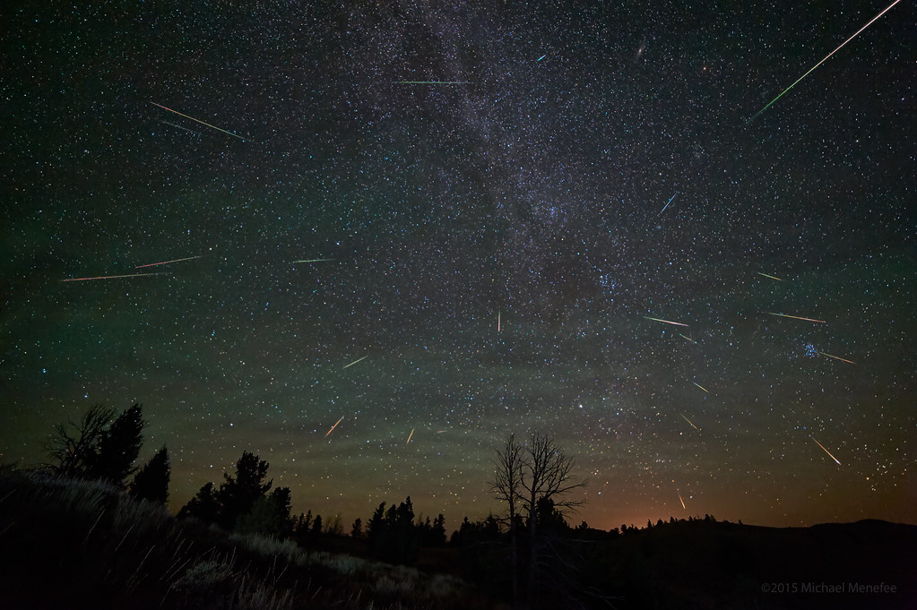
2015 Perseid Profusion of Meteors
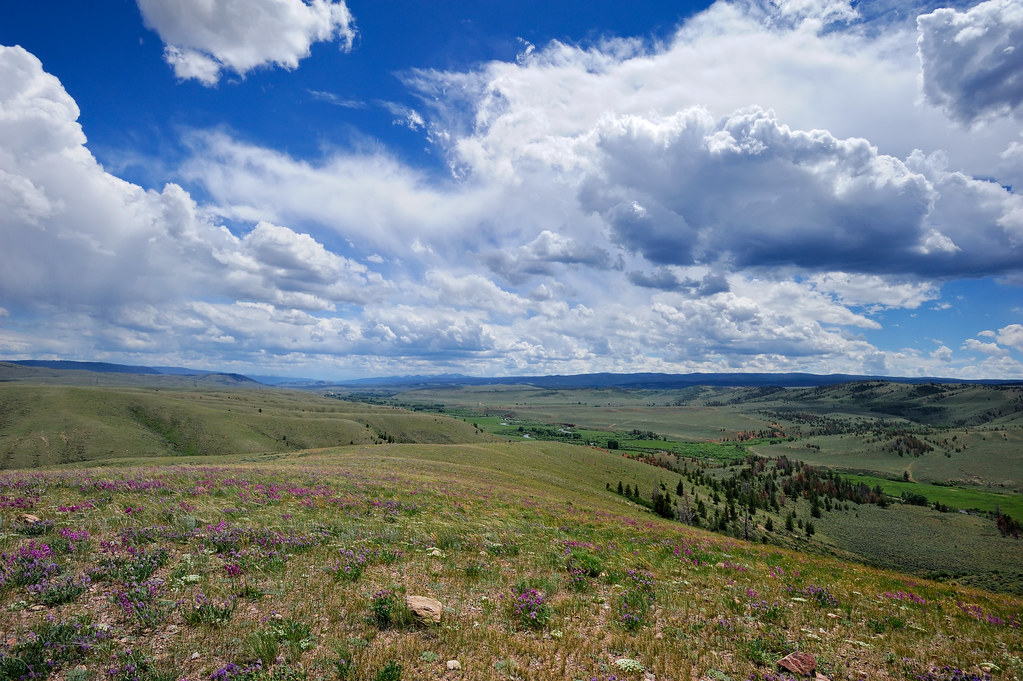
Summer Storm Brewing on the Laramie River
Topographic Map of West Bull Mountain, Colorado, USA
Find elevation by address:

Places near West Bull Mountain, Colorado, USA:
25777 Co Rd 103
20579 Co Rd 103
Bull Mountain
Ring Mountain
442 Mountain Ridge Rd
550 Honeymoon Rdg
4945 Plano Rd
9828 Ferret Cir
North Middle Mountain
Coyote Crossing
Willett's Kopje Creek Cabin
Jelm Mountain
4447 Forest Service Cir
57 Wy-10
Woods Landing-jelm
694 Fox Creek Rd
Deadman Lookout
850 Summit View
Harmony
4039 Wy-230
Recent Searches:
- Elevation of Corso Fratelli Cairoli, 35, Macerata MC, Italy
- Elevation of Tallevast Rd, Sarasota, FL, USA
- Elevation of 4th St E, Sonoma, CA, USA
- Elevation of Black Hollow Rd, Pennsdale, PA, USA
- Elevation of Oakland Ave, Williamsport, PA, USA
- Elevation of Pedrógão Grande, Portugal
- Elevation of Klee Dr, Martinsburg, WV, USA
- Elevation of Via Roma, Pieranica CR, Italy
- Elevation of Tavkvetili Mountain, Georgia
- Elevation of Hartfords Bluff Cir, Mt Pleasant, SC, USA