Elevation of Mountain Ridge Rd, Red Feather Lakes, CO, USA
Location: United States > Colorado > Larimer County > Red Feather Lakes >
Longitude: -105.8036
Latitude: 40.9363839
Elevation: 2626m / 8615feet
Barometric Pressure: 73KPa
Elevation Map:
Satellite Map:
Related Photos:

Trail in the fall

Aspen Leaf floating

Aspen in the sun
Fall Colors

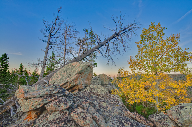
Aspen Leaves

Apsen against rock

Name this bush?
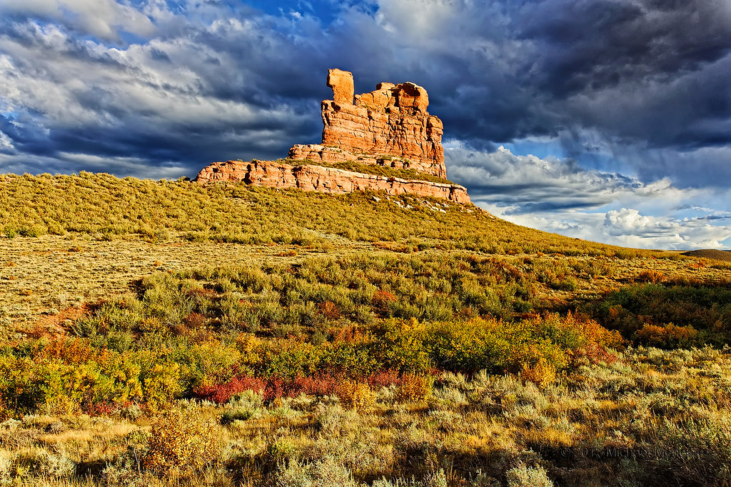
The Landscape Less Travelled: Camel Rock

Rockin' Out in Moonlight

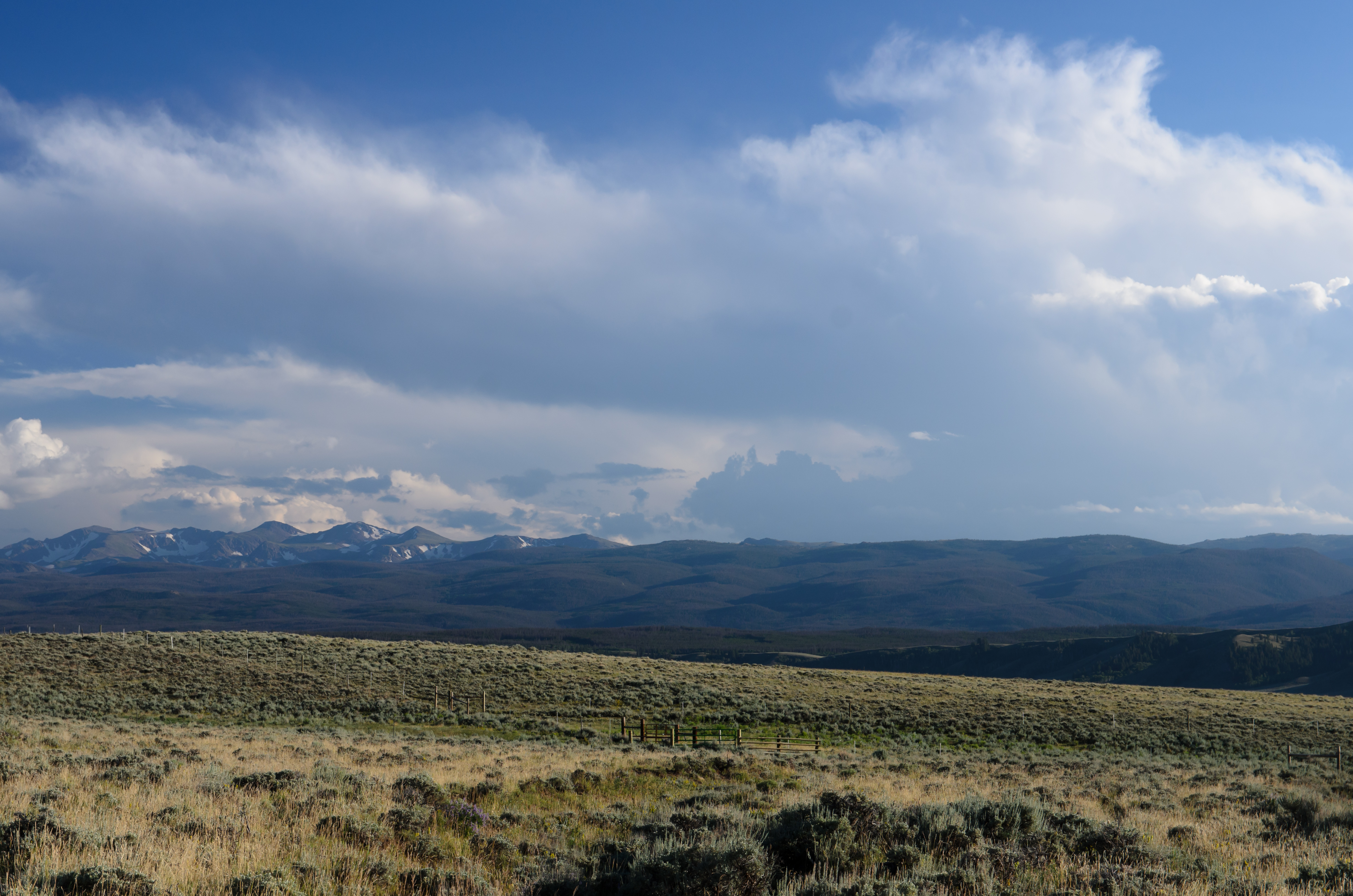
Deadman Creek
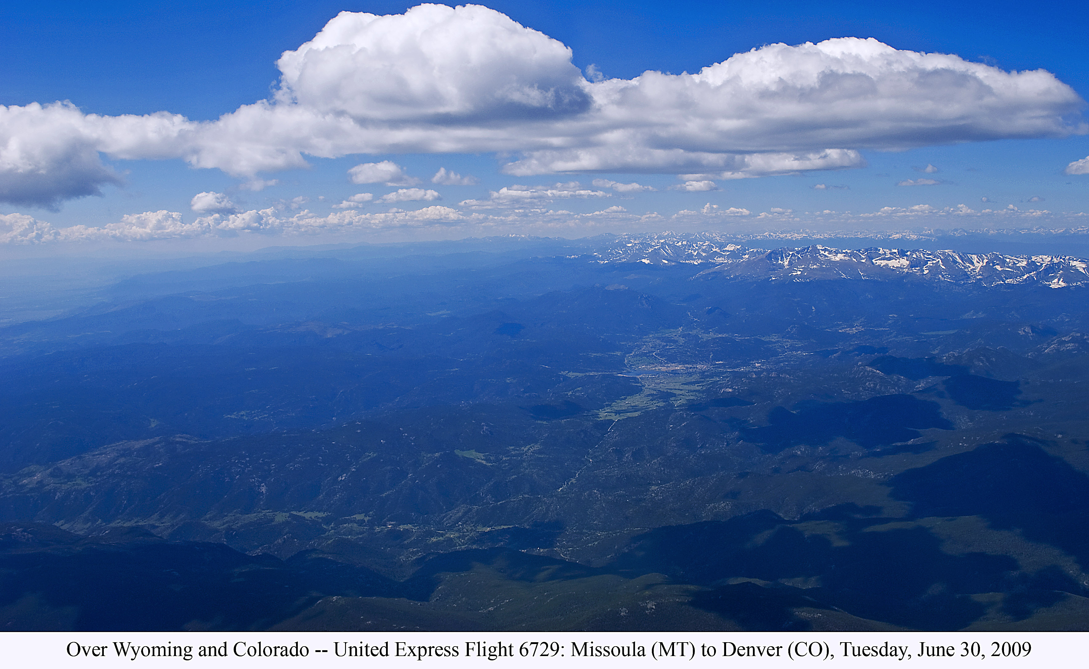
Over Wyoming and Colorado -- United Express Flt 6729: Tuesday, June 30, 2009
WWR2014 (61)
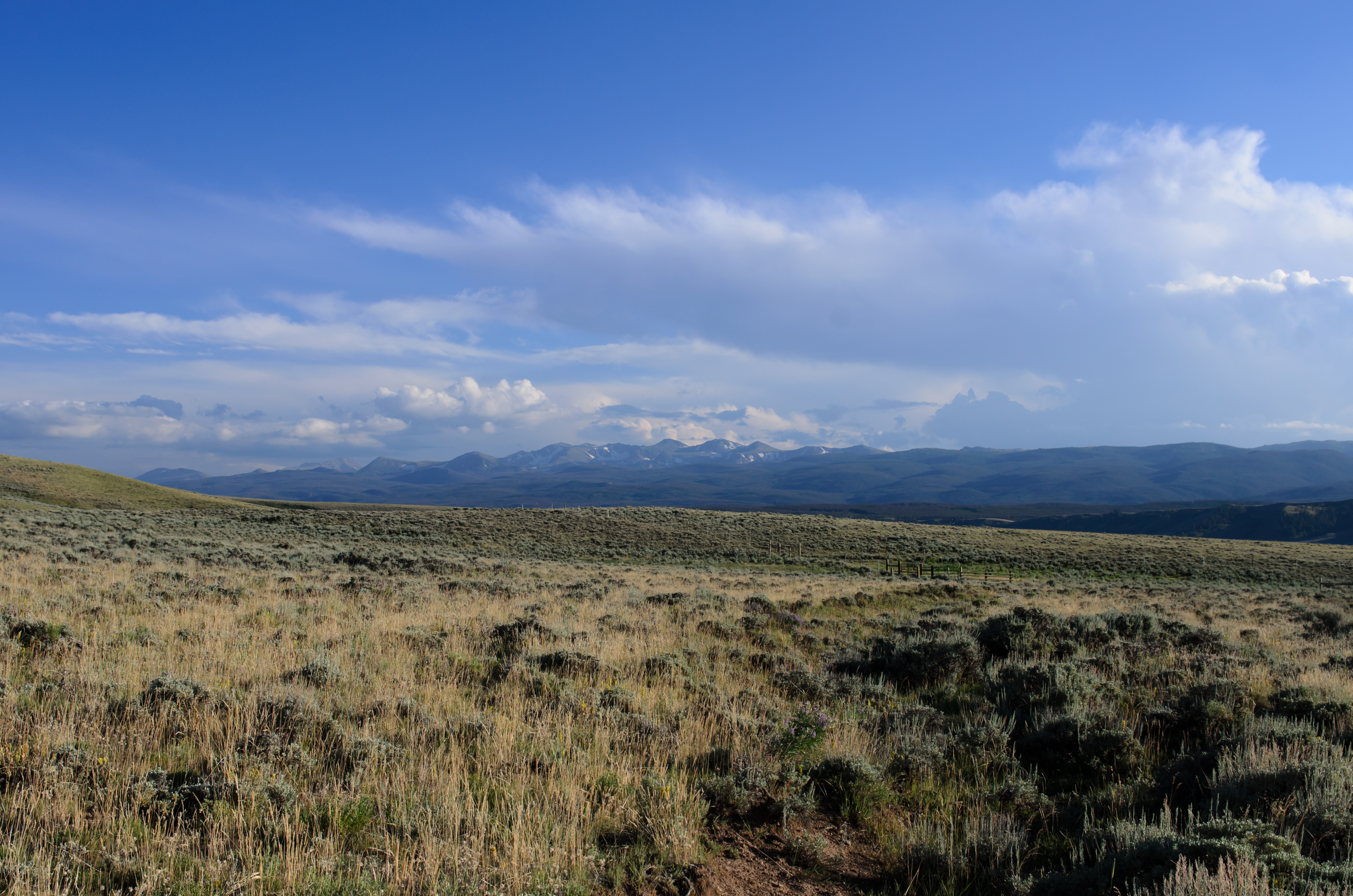
WWR2014 (60)
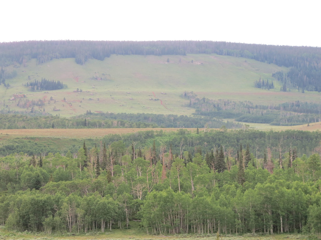
Bull Mountain
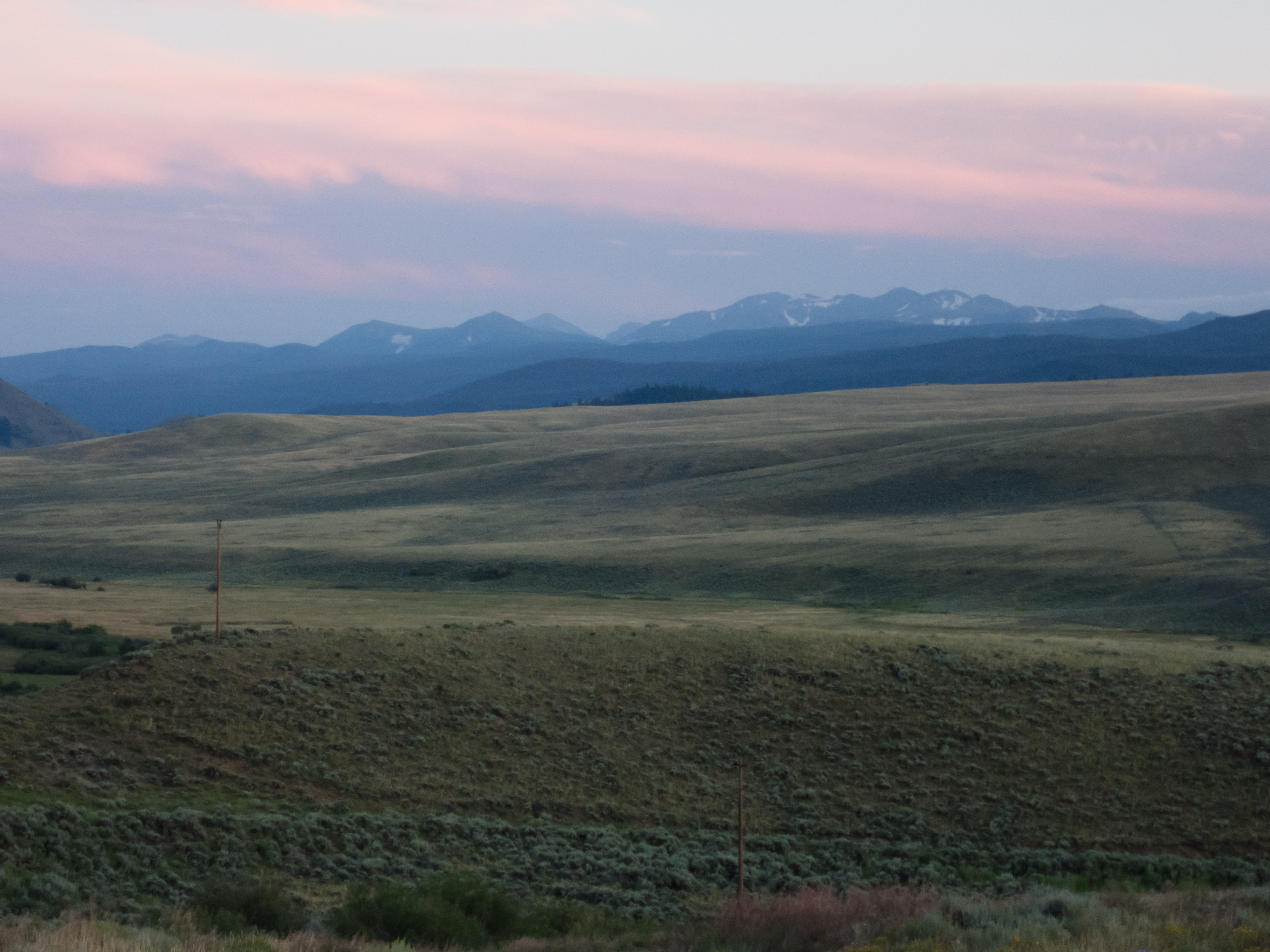
WWR2014 (64)
Topographic Map of Mountain Ridge Rd, Red Feather Lakes, CO, USA
Find elevation by address:

Places near Mountain Ridge Rd, Red Feather Lakes, CO, USA:
550 Honeymoon Rdg
Willett's Kopje Creek Cabin
4447 Forest Service Cir
Deadman Lookout
927 Mosquito Dr
336 Micmac Dr
297 Micmac Dr
528 Micmac Dr
107 Tuscarora Way
103 Pow Wow Dr
621 Hatchetumi Dr
5800 Ottawa Way
1762 Osage Trail
641 Yockey Dr
826 Osage Trail
231 Chickasaw Ct
188 Swift Deer Rd
12 Tonkawa Ct
193 Tiny Bob Rd
141 Tami Rd
Recent Searches:
- Elevation of Corso Fratelli Cairoli, 35, Macerata MC, Italy
- Elevation of Tallevast Rd, Sarasota, FL, USA
- Elevation of 4th St E, Sonoma, CA, USA
- Elevation of Black Hollow Rd, Pennsdale, PA, USA
- Elevation of Oakland Ave, Williamsport, PA, USA
- Elevation of Pedrógão Grande, Portugal
- Elevation of Klee Dr, Martinsburg, WV, USA
- Elevation of Via Roma, Pieranica CR, Italy
- Elevation of Tavkvetili Mountain, Georgia
- Elevation of Hartfords Bluff Cir, Mt Pleasant, SC, USA