Elevation map of Logan County, CO, USA
Location: United States > Colorado >
Longitude: -102.98961
Latitude: 40.7056181
Elevation: 1258m / 4127feet
Barometric Pressure: 87KPa
Elevation Map:
Satellite Map:
Related Photos:

Derek Weingardt

First drops on the windshield

Landscape_090311_LR-3.jpg
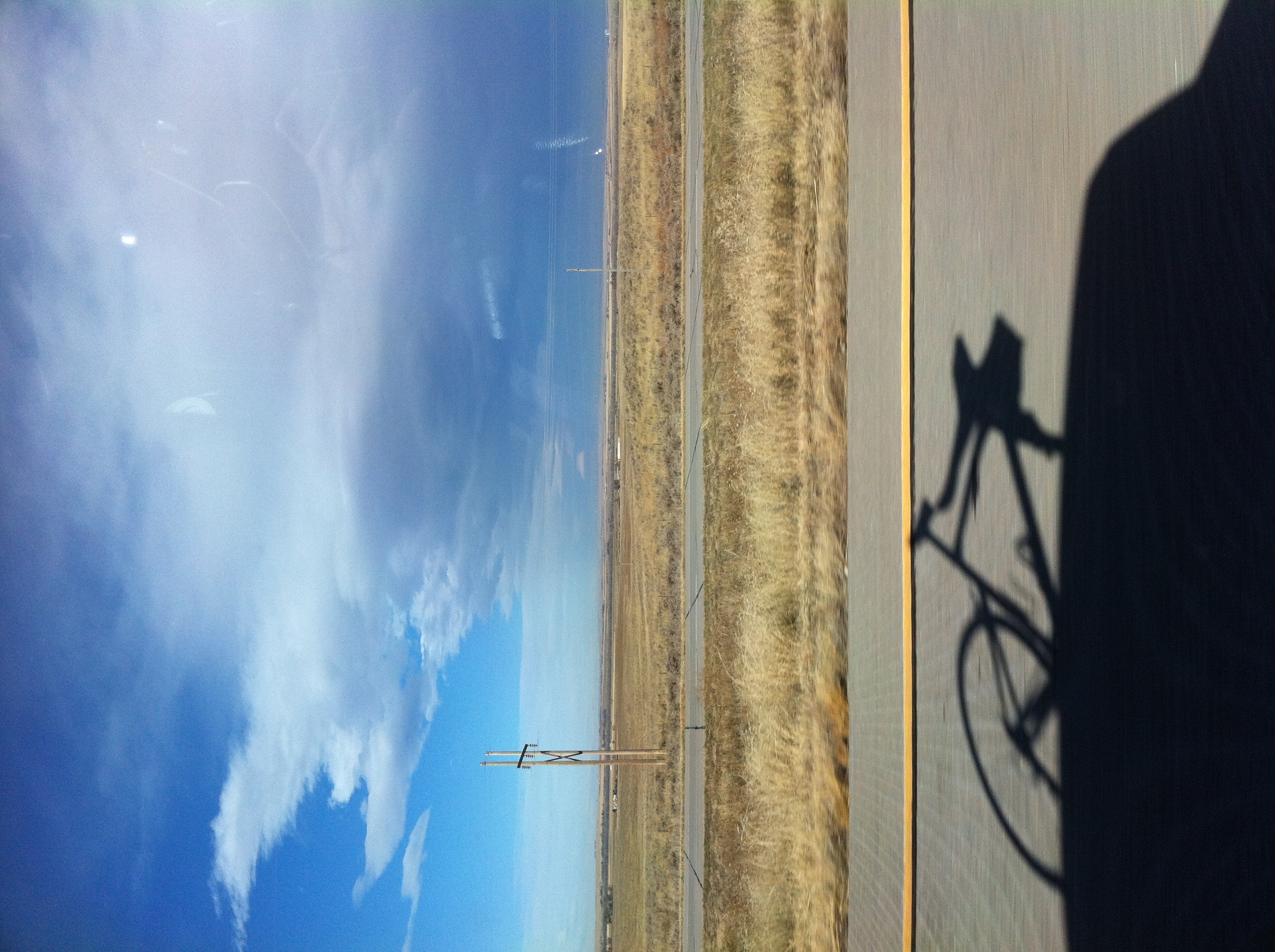
Interstate 76 in Colorado
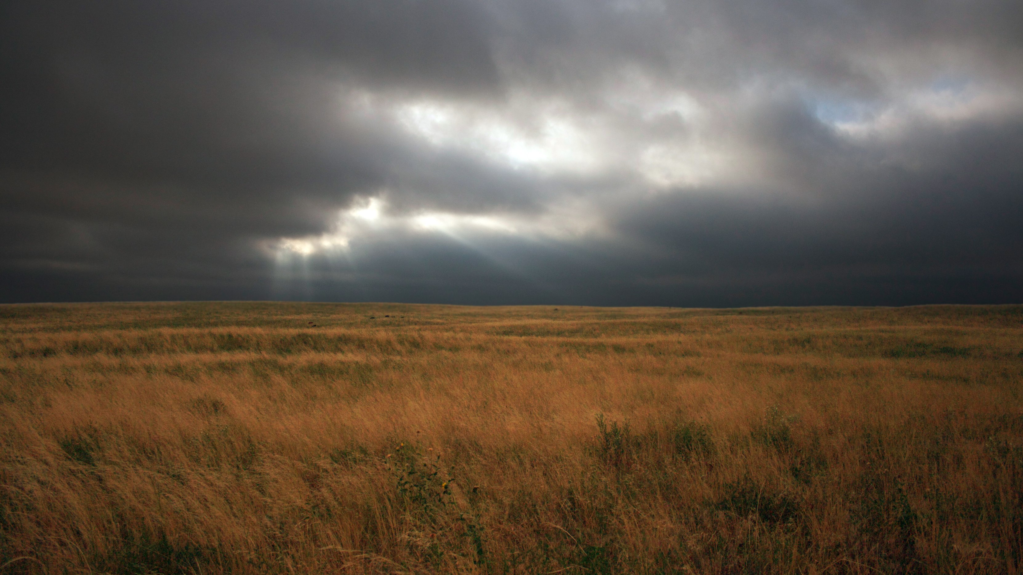
Stormy Pasture

Landscape_090311_LR-4.jpg

Cow Pasture

Landscape_090311_LR-5.jpg

Truck_090311_LR-72.jpg

Landscape_090311_LR-2.jpg

Truck_090311_LR-71.jpg

Truck_090311_LR-67.jpg

Truck_090311_LR-69.jpg

Truck_090311_LR-68.jpg
Topographic Map of Logan County, CO, USA
Find elevation by address:

Places in Logan County, CO, USA:
Places near Logan County, CO, USA:
Iliff
Fleming
E Weston St, Fleming, CO, USA
Co Rd 46, Sterling, CO, USA
2500 E Chestnut St
Main St, Padroni, CO, USA
Padroni
312 Hereford Ave
447 Plainview Ave
25 E Chestnut St
Sterling
Sterling, CO, USA
615 Fairhurst St
12456 Co Rd 37
Co Rd, Sterling, CO, USA
North Sterling Reservoir
Atwood
Co Rd 12, Haxtun, CO, USA
Co Rd 22, Sterling, CO, USA
Merino
Recent Searches:
- Elevation of Corso Fratelli Cairoli, 35, Macerata MC, Italy
- Elevation of Tallevast Rd, Sarasota, FL, USA
- Elevation of 4th St E, Sonoma, CA, USA
- Elevation of Black Hollow Rd, Pennsdale, PA, USA
- Elevation of Oakland Ave, Williamsport, PA, USA
- Elevation of Pedrógão Grande, Portugal
- Elevation of Klee Dr, Martinsburg, WV, USA
- Elevation of Via Roma, Pieranica CR, Italy
- Elevation of Tavkvetili Mountain, Georgia
- Elevation of Hartfords Bluff Cir, Mt Pleasant, SC, USA