Elevation of Rio Grande County, CO, USA
Location: United States > Colorado >
Longitude: -106.44058
Latitude: 37.5749508
Elevation: 2743m / 8999feet
Barometric Pressure: 72KPa
Elevation Map:
Satellite Map:
Related Photos:
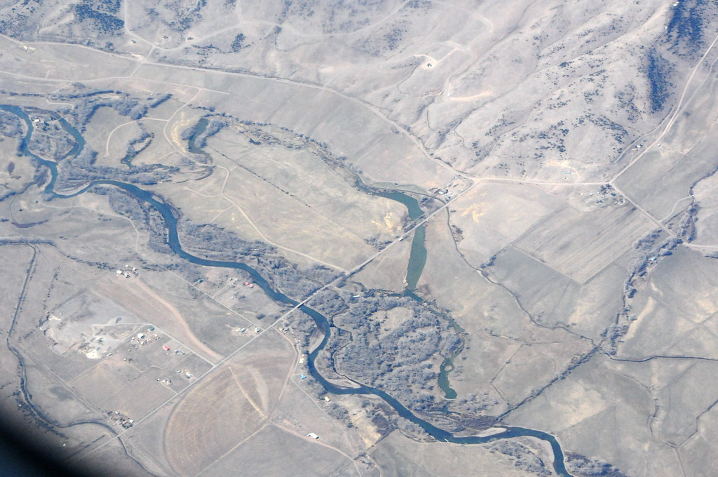
Aerial view from plane

Colorado view

Sun and rain
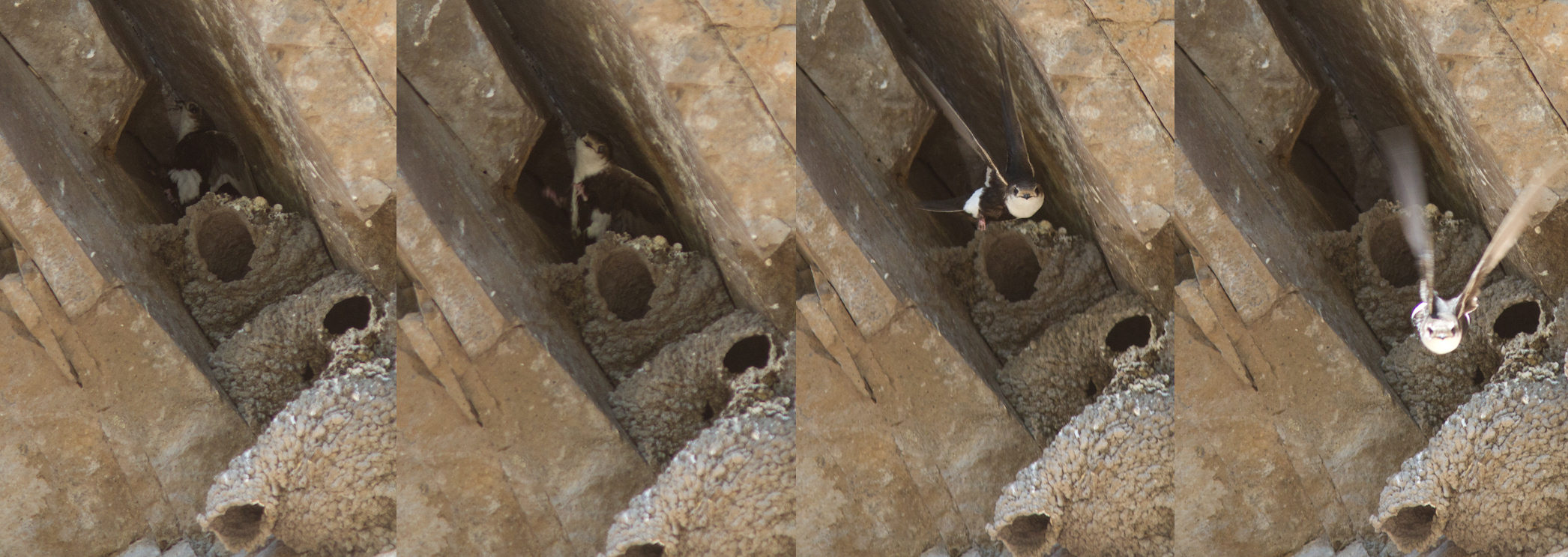
wtsw-nest-delnorte-6-21-11-tl-comp-lowres

Historic Sutherland Bridge
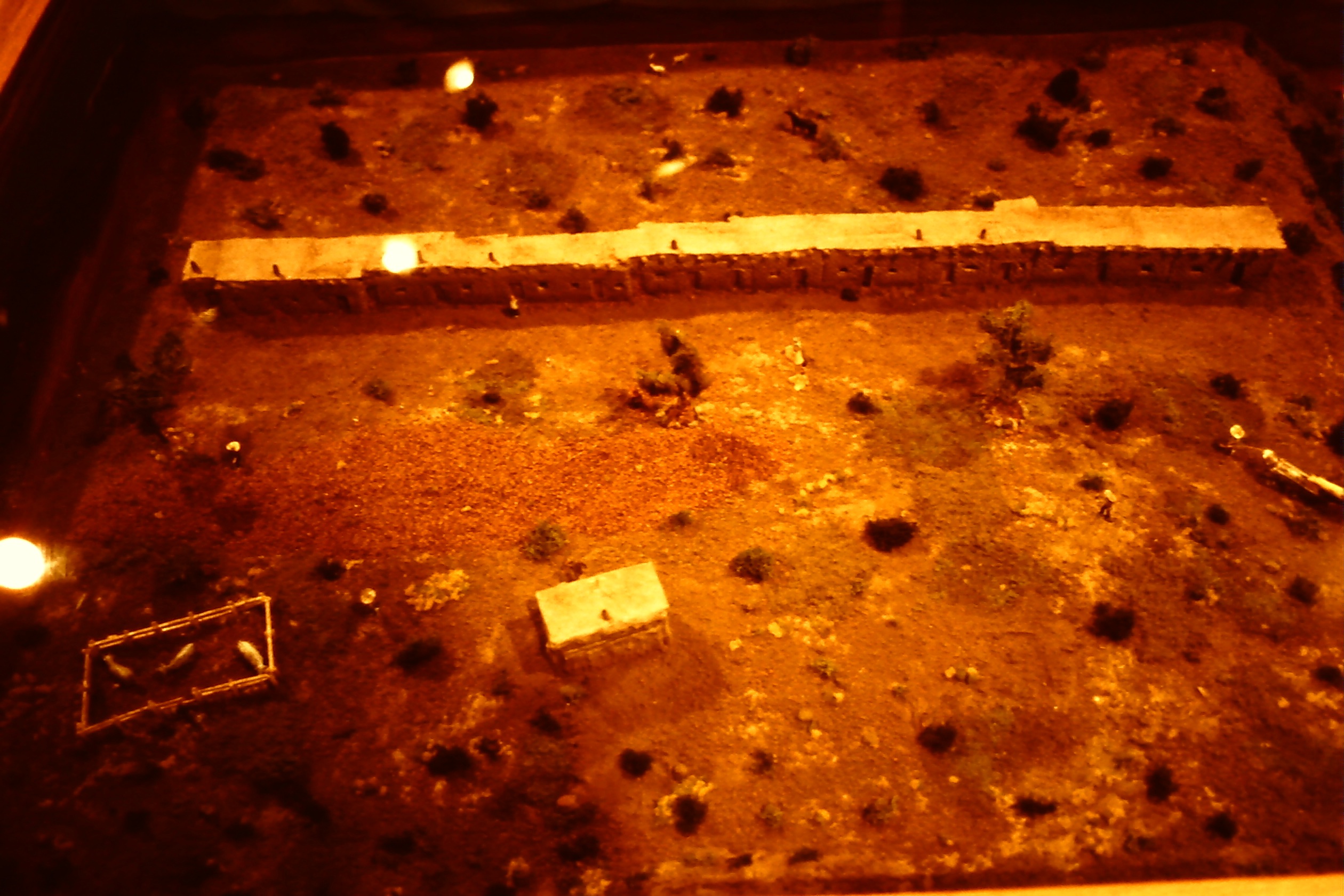
Del Norte County History Museum

Del Norte County History Museum

Del Norte County History Museum

Buffaloes Del Norte CO

Buffaloes Del Norte CO
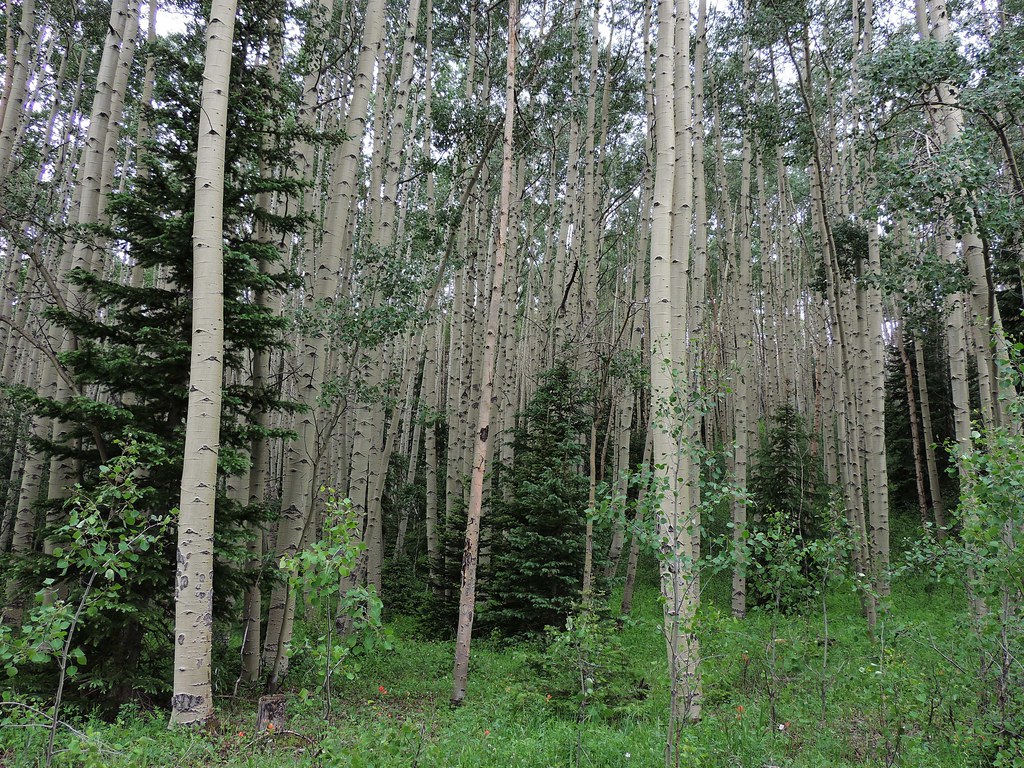
Aspen thicket
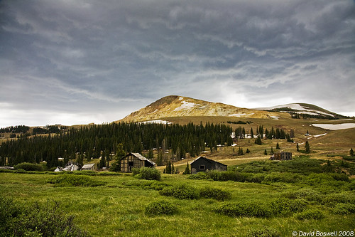
A Bygone Era
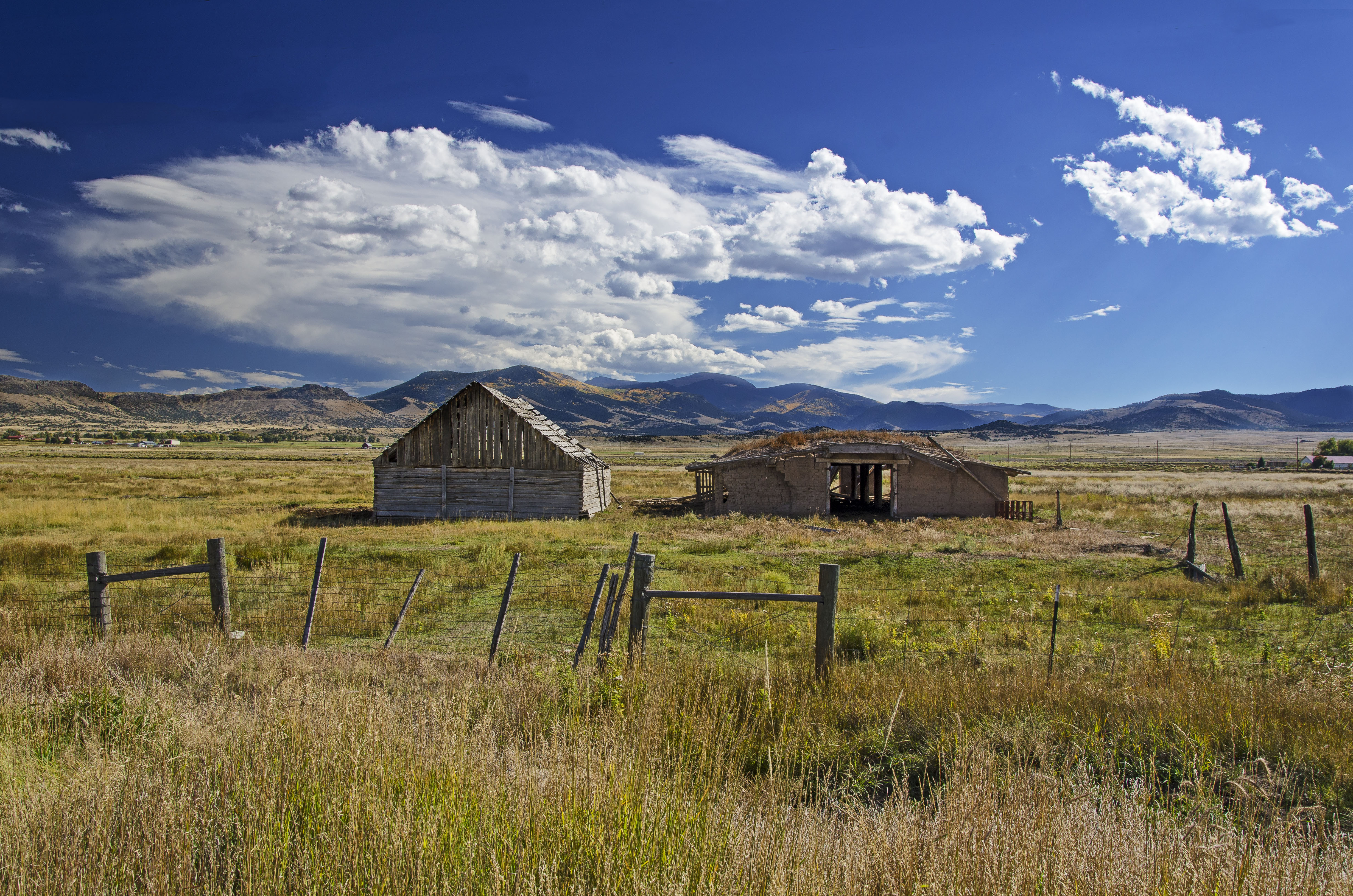
Old and Older
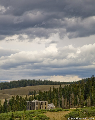
Passage of Time
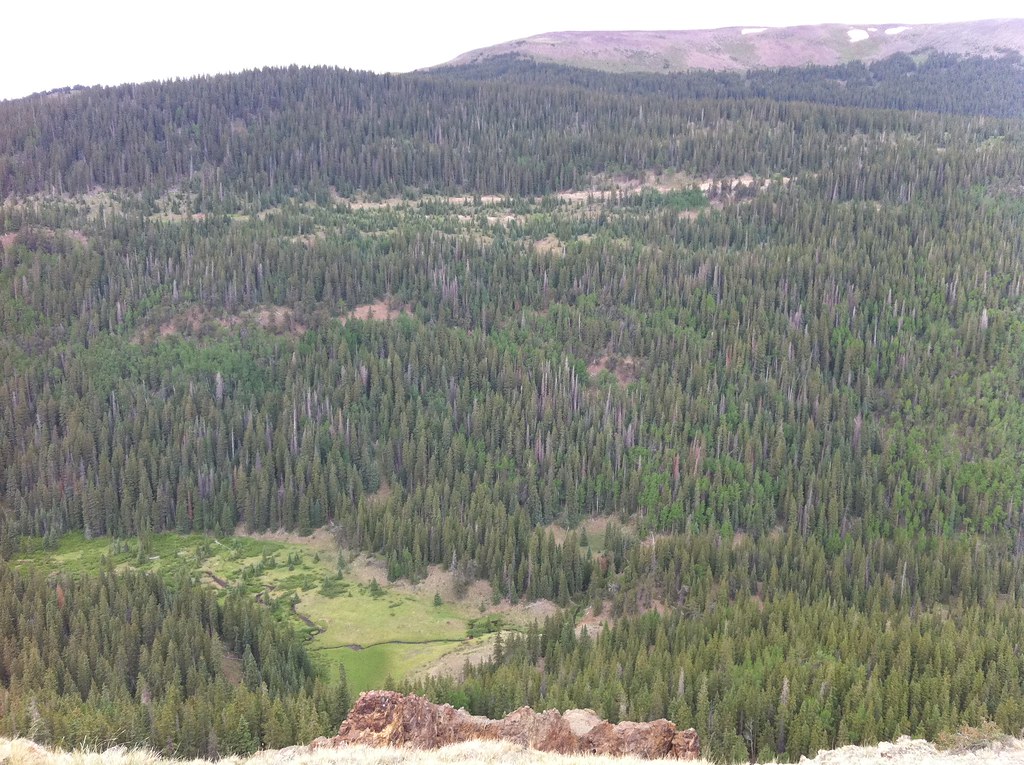
photo.JPG
Topographic Map of Rio Grande County, CO, USA
Find elevation by address:

Places in Rio Grande County, CO, USA:
South Fork
Monte Vista
Cropsy Mountain
Pintada Mountain
Windy Mountain
Lion Point
E Co Rd 9 N, Center, CO, USA
Elwood Pass
Places near Rio Grande County, CO, USA:
959 Yund Dr
1528 Yund Dr
Horseshoe Mountain
10665 Co Rd 14
Castle Rock Road
Pinon Valley Road
Co Rd 13, Del Norte, CO, USA
20422 Co Rd 14
20422 Co Rd 14
20422 Co Rd 14
142 Antelope Trail
250 Antelope Trail
Pintada Mountain
Dog Mountain
Windy Mountain
983 Rimrock Cir
Rock Creek Campground
Lion Point
Rock Creek Park
Green Ridge
Recent Searches:
- Elevation of Corso Fratelli Cairoli, 35, Macerata MC, Italy
- Elevation of Tallevast Rd, Sarasota, FL, USA
- Elevation of 4th St E, Sonoma, CA, USA
- Elevation of Black Hollow Rd, Pennsdale, PA, USA
- Elevation of Oakland Ave, Williamsport, PA, USA
- Elevation of Pedrógão Grande, Portugal
- Elevation of Klee Dr, Martinsburg, WV, USA
- Elevation of Via Roma, Pieranica CR, Italy
- Elevation of Tavkvetili Mountain, Georgia
- Elevation of Hartfords Bluff Cir, Mt Pleasant, SC, USA