Elevation map of Yuma County, CO, USA
Location: United States > Colorado >
Longitude: -102.25479
Latitude: 40.1448234
Elevation: 1142m / 3747feet
Barometric Pressure: 88KPa
Elevation Map:
Satellite Map:
Related Photos:

img_0844.jpg

Lightning North of Wray
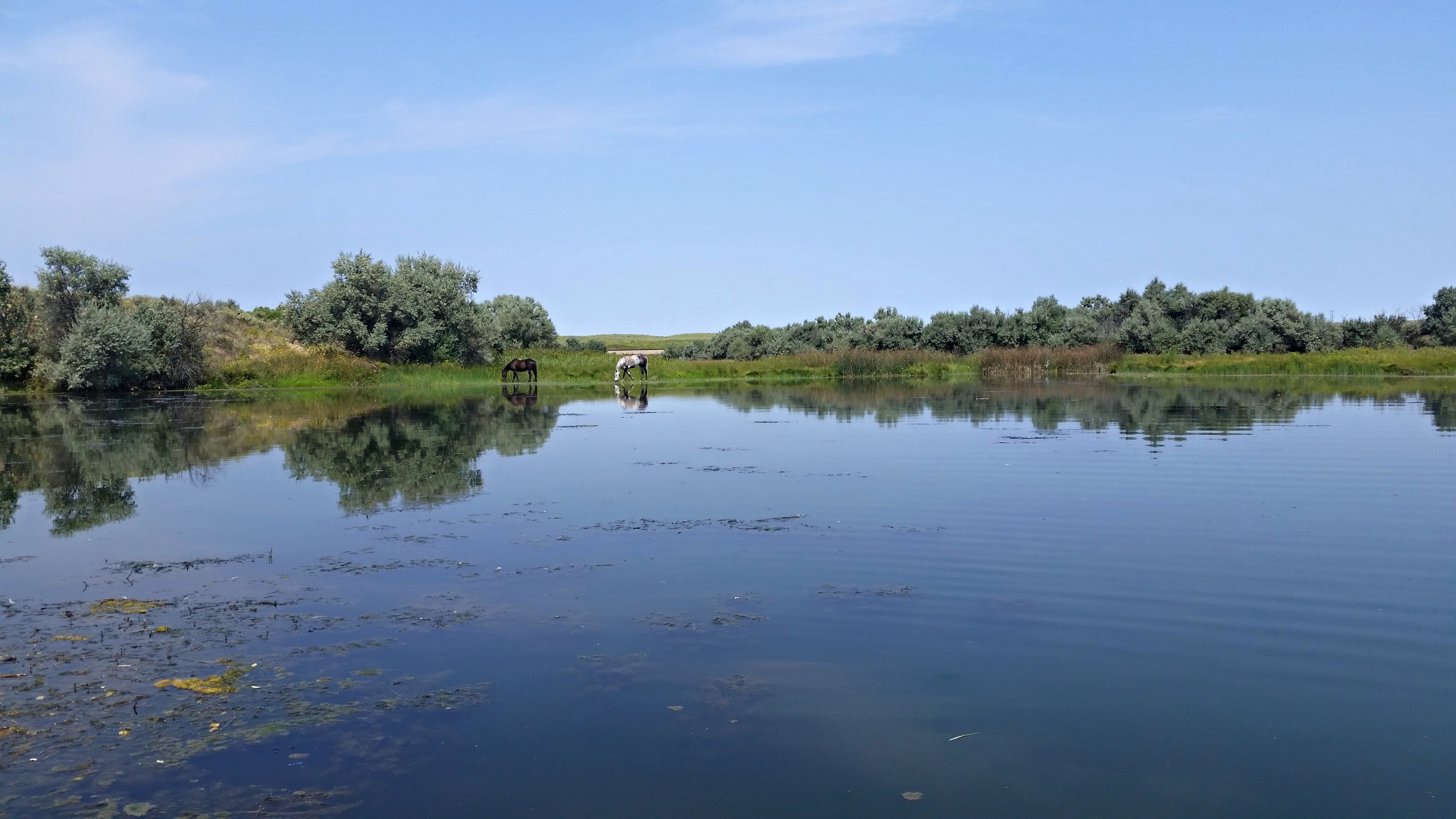
Horses at the lake

Hand Pump

Dimming Light of a Dream
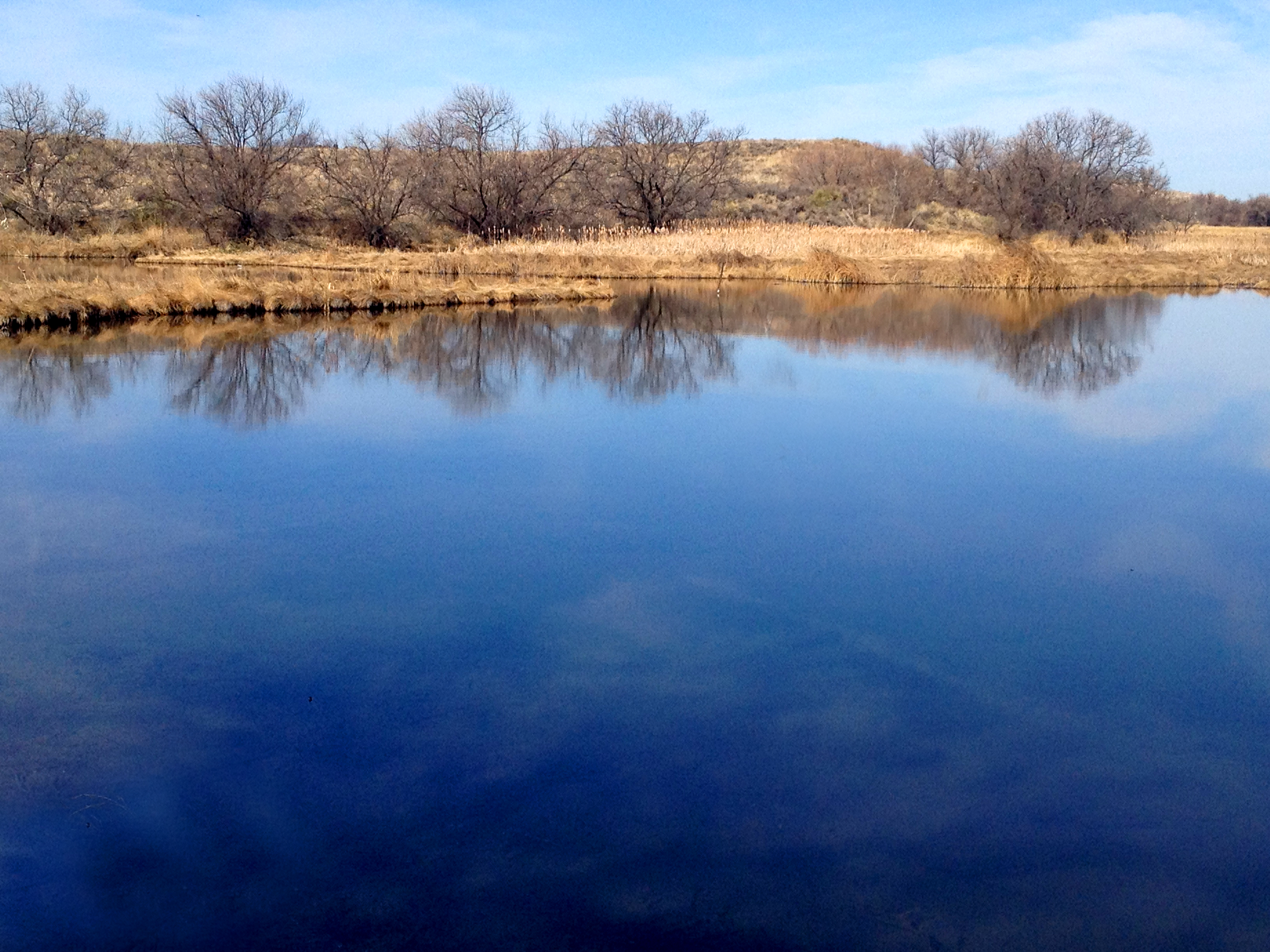
Establishing Shot - Stalker Lake, Yuma County, CO - April 2014
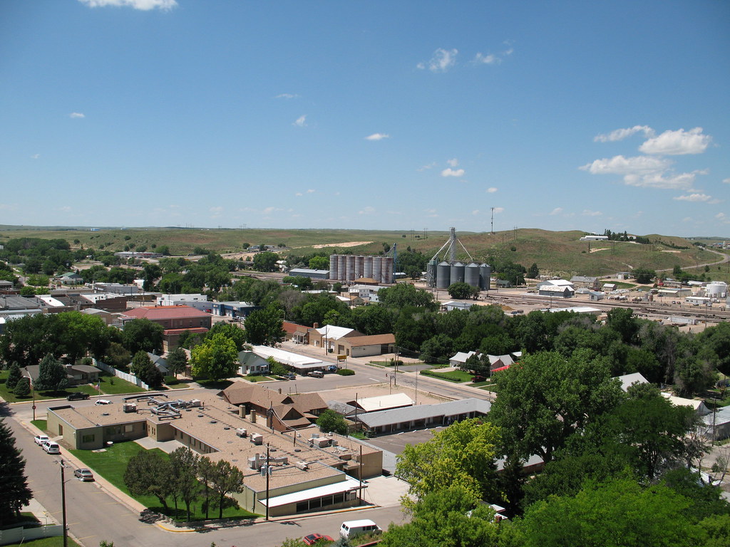
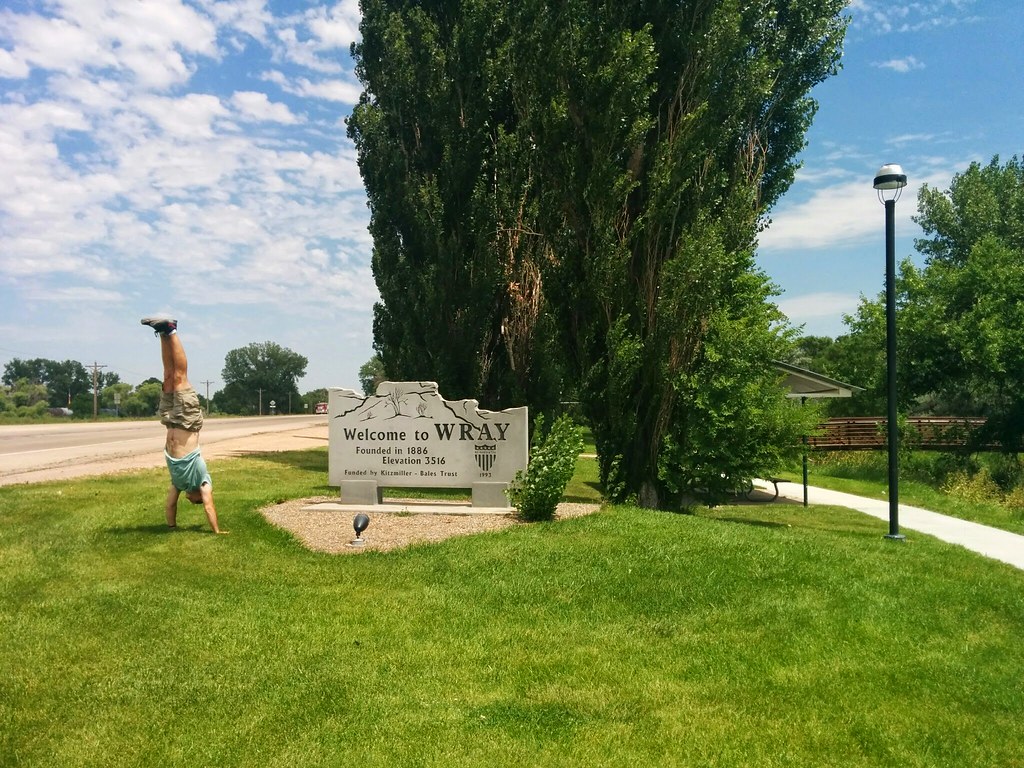
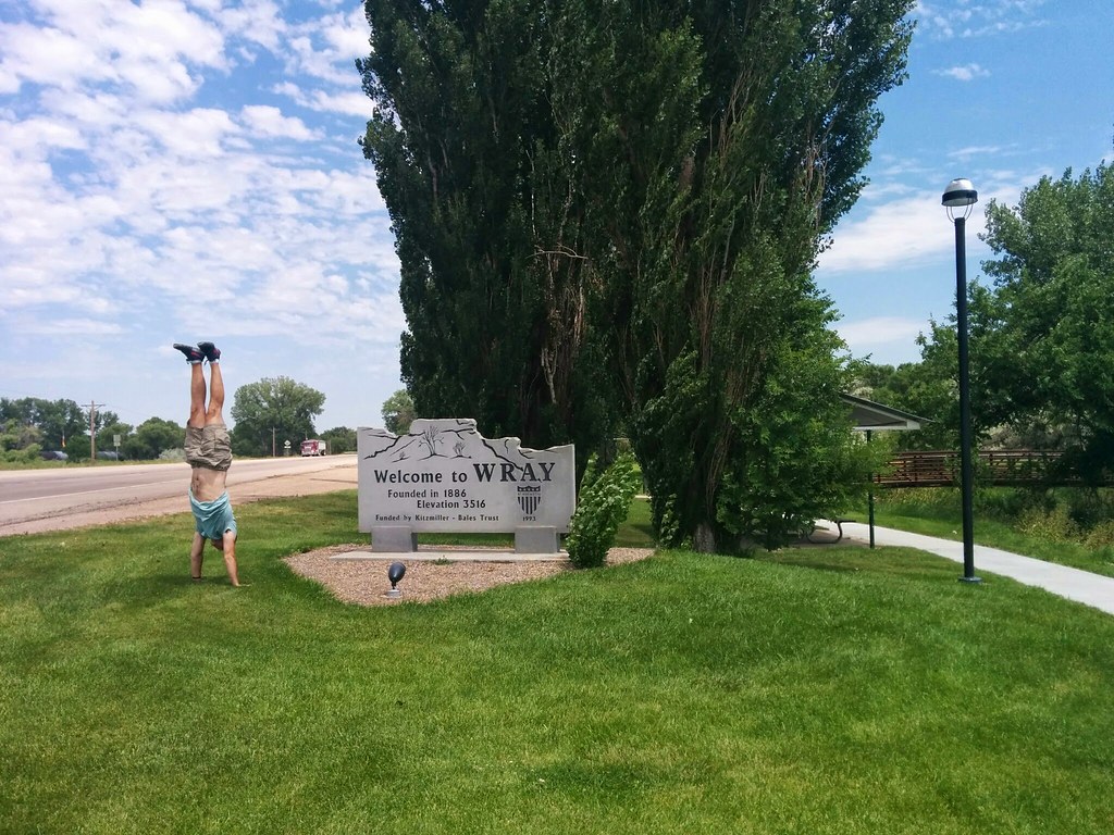
Wray, CO

Establishing Shot - Stalker Lake, Yuma County, CO - May 2015

Dangerous Intersection
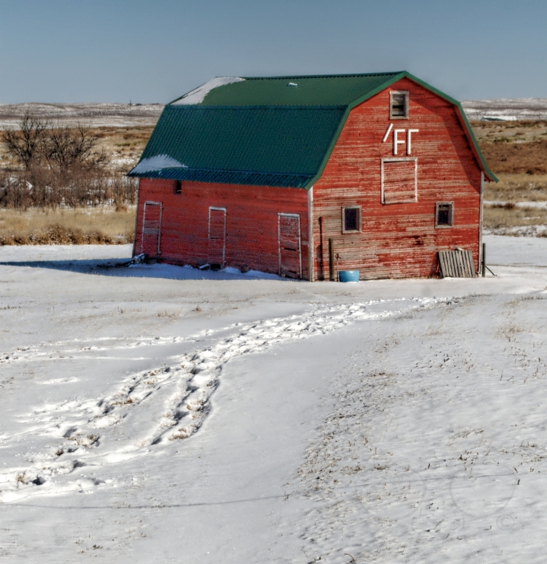
/Fr Barn

No Bull

Oh, What Twisted Weeds We Weave

Turn out the Lights

BNSF 1680
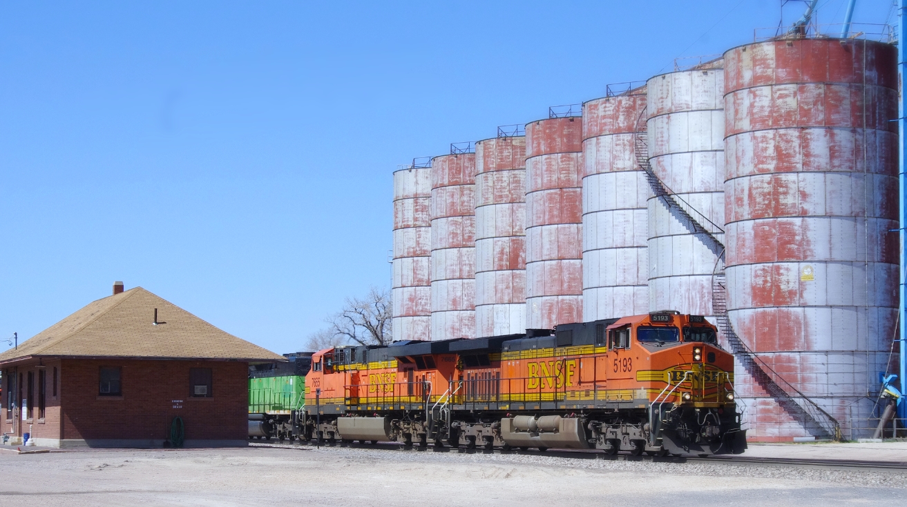
BNSF 5193 East
Wray, Colorado
Wray, Colorado

Wray, Colorado
EstablishingShot - Yuma County Road 45, Yuma County, CO - April 2014
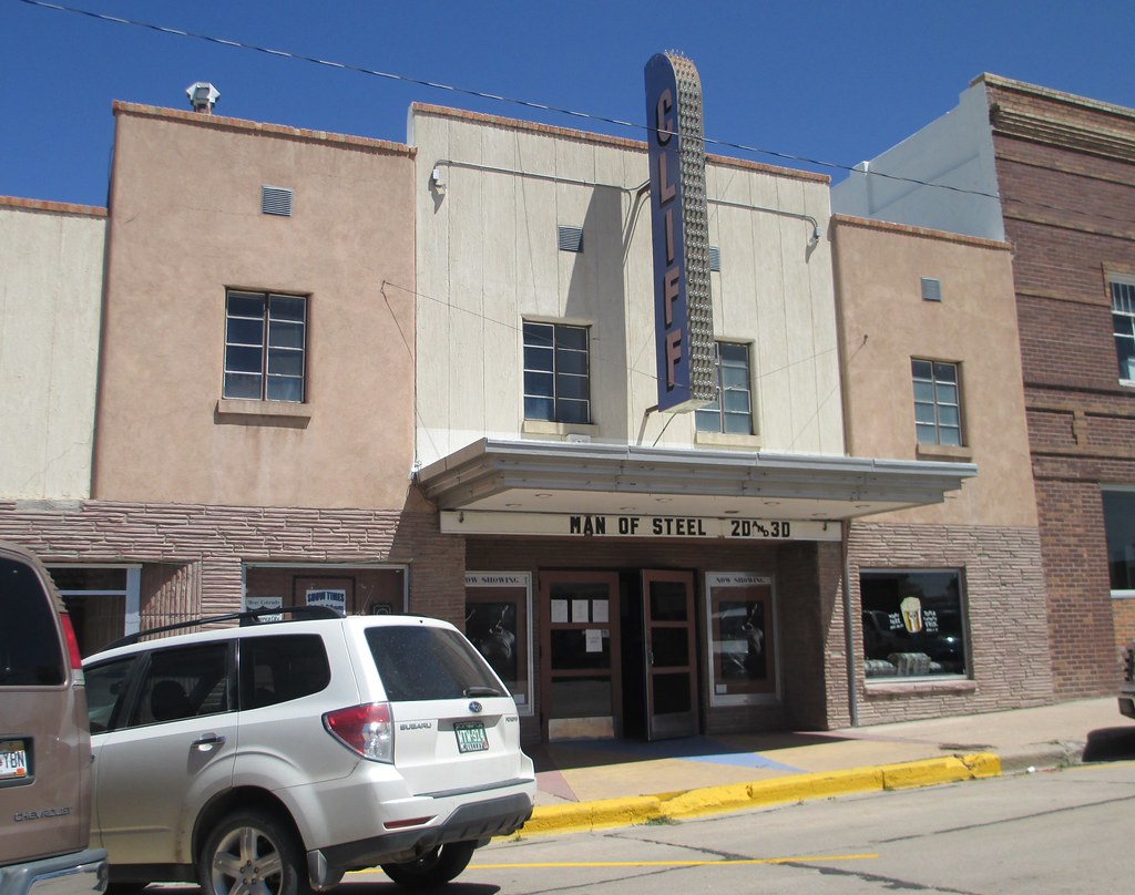
Cliff Theater (Wray, Colorado)

I.O.O.F. Hall (Wray, Colorado)
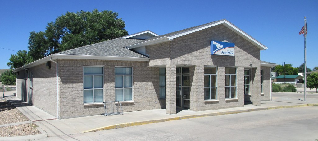
Post Office 80758 (Wray, Colorado)

Old Yuma County Jail (Wray, Colorado)
Topographic Map of Yuma County, CO, USA
Find elevation by address:

Places in Yuma County, CO, USA:
Places near Yuma County, CO, USA:
1332 W 10th St
Wray
Laird
Campbell Ave, Wray, CO, USA
Vernon
Eckley
County Rd 51, Wray, CO, USA
County Rd 30, Eckley, CO, USA
Haigler
County Rd PP, Wray, CO, USA
County Rd 26, Eckley, CO, USA
Phillips County
Phillips County
Phillips County
220 S Baxter Ave
Holyoke
Idalia
County Rd 9.1, Idalia, CO, USA
Co Rd 20, Holyoke, CO, USA
Wano
Recent Searches:
- Elevation of Corso Fratelli Cairoli, 35, Macerata MC, Italy
- Elevation of Tallevast Rd, Sarasota, FL, USA
- Elevation of 4th St E, Sonoma, CA, USA
- Elevation of Black Hollow Rd, Pennsdale, PA, USA
- Elevation of Oakland Ave, Williamsport, PA, USA
- Elevation of Pedrógão Grande, Portugal
- Elevation of Klee Dr, Martinsburg, WV, USA
- Elevation of Via Roma, Pieranica CR, Italy
- Elevation of Tavkvetili Mountain, Georgia
- Elevation of Hartfords Bluff Cir, Mt Pleasant, SC, USA