Elevation of Clark, CO, USA
Location: United States > Colorado >
Longitude: -106.91925
Latitude: 40.7054117
Elevation: 2216m / 7270feet
Barometric Pressure: 77KPa
Elevation Map:
Satellite Map:
Related Photos:

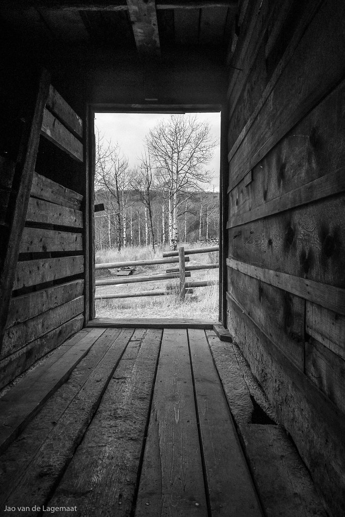
Mad Creek Barn Window

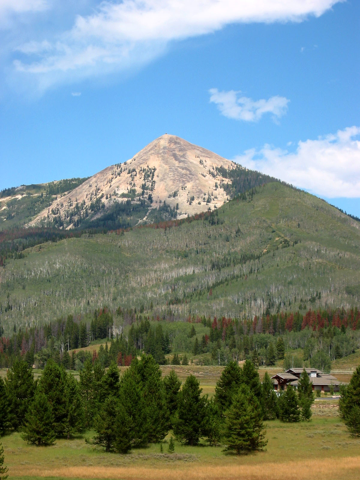
Hahn's Peak
A room with a view
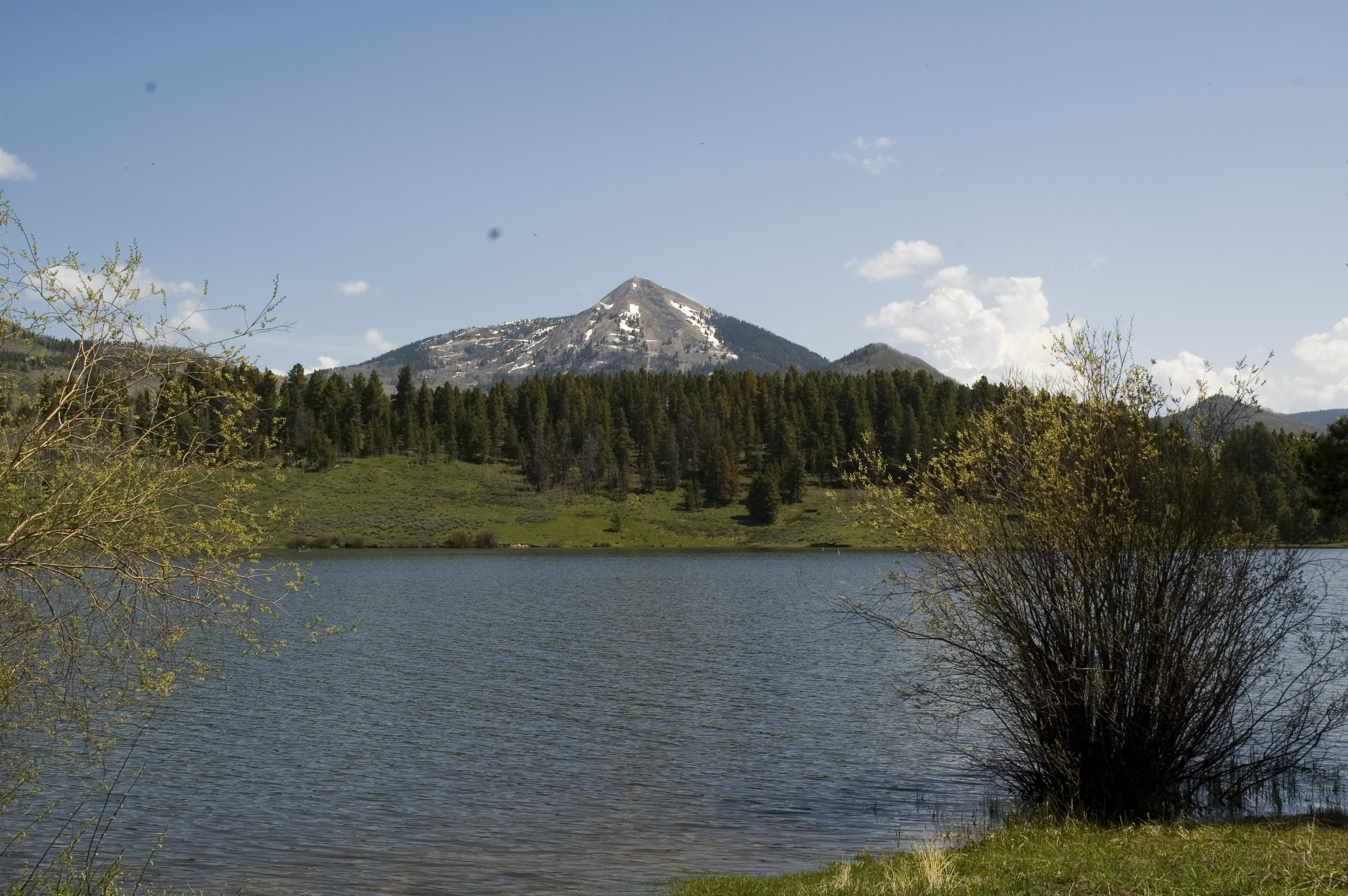
our view at steamboat lake
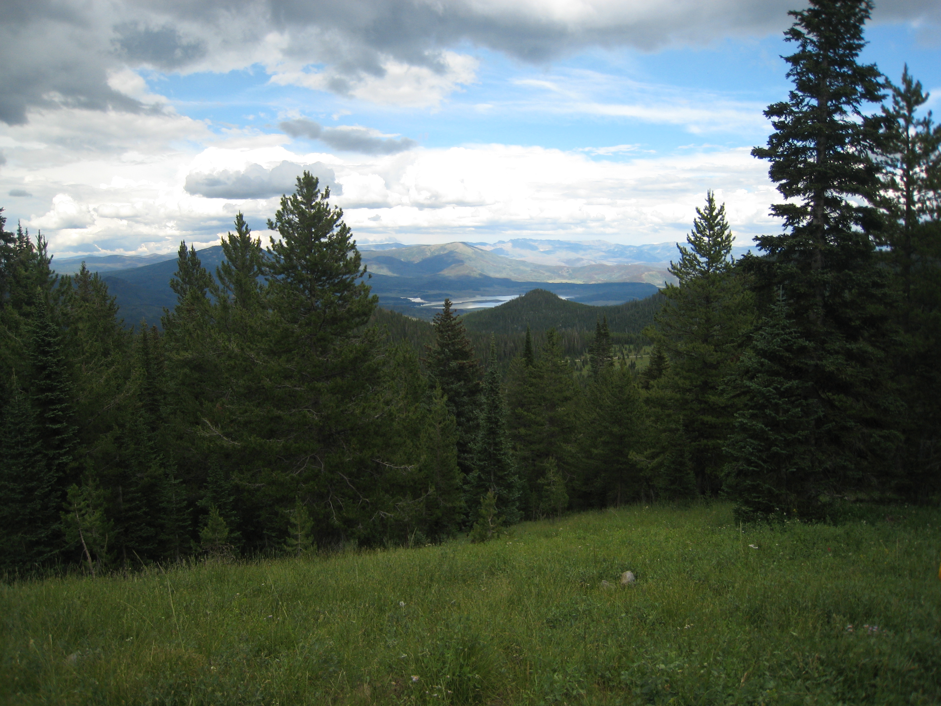
View from Meaden Peak
Hans Peak
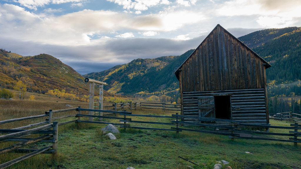
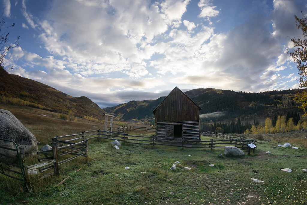
Nice Pair in Idyllic Setting R421N14
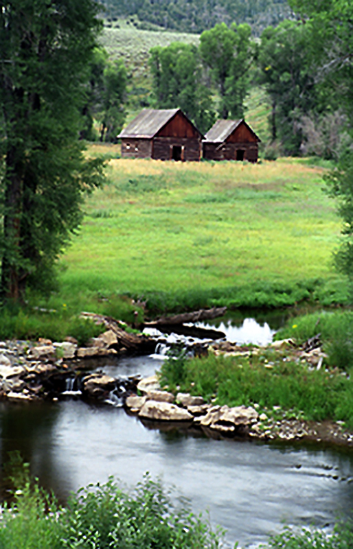
Mad Creek - Steamboat Springs

Summer at Steamboat Lake State Park
Mad Creek - Steamboat Springs
Topographic Map of Clark, CO, USA
Find elevation by address:

Places in Clark, CO, USA:
Iron Mountain
Mcalpin Mountain
Lester Mountain
Sand Mountain South
Anthracite Ridge
Sand Mountain North
Nipple Peak
Hahns Peak
Shield Mountain
Elkhorn Mountain
City Mountain
Co Rd, Clark, CO, USA
County Road 62
Places near Clark, CO, USA:
Co Rd, Clark, CO, USA
54737 Co Rd 129
County Road 62
Lester Mountain
Mcalpin Mountain
Mystic Valley Farm
Sand Mountain South
Sand Mountain North
County Road 52w
Co Rd 46, Steamboat Springs, CO, USA
Anthracite Ridge
41576 Co Rd 46
41576 Co Rd 46
41576 Co Rd 46
Blue Heron Rd, Steamboat Springs, CO, USA
Quaker Mountain
Spruce St, Steamboat Springs, CO, USA
Co Rd, Steamboat Springs, CO, USA
Routt County
US-40, Hayden, CO, USA
Recent Searches:
- Elevation of Corso Fratelli Cairoli, 35, Macerata MC, Italy
- Elevation of Tallevast Rd, Sarasota, FL, USA
- Elevation of 4th St E, Sonoma, CA, USA
- Elevation of Black Hollow Rd, Pennsdale, PA, USA
- Elevation of Oakland Ave, Williamsport, PA, USA
- Elevation of Pedrógão Grande, Portugal
- Elevation of Klee Dr, Martinsburg, WV, USA
- Elevation of Via Roma, Pieranica CR, Italy
- Elevation of Tavkvetili Mountain, Georgia
- Elevation of Hartfords Bluff Cir, Mt Pleasant, SC, USA