Elevation of Anthracite Ridge, Colorado, USA
Location: United States > Colorado > Clark >
Longitude: -107.09527
Latitude: 40.6897222
Elevation: 2905m / 9531feet
Barometric Pressure: 71KPa
Elevation Map:
Satellite Map:
Related Photos:
Photo
Topographic Map of Anthracite Ridge, Colorado, USA
Find elevation by address:

Places near Anthracite Ridge, Colorado, USA:
Quaker Mountain
Sand Mountain South
Sand Mountain North
County Road 52w
Mcalpin Mountain
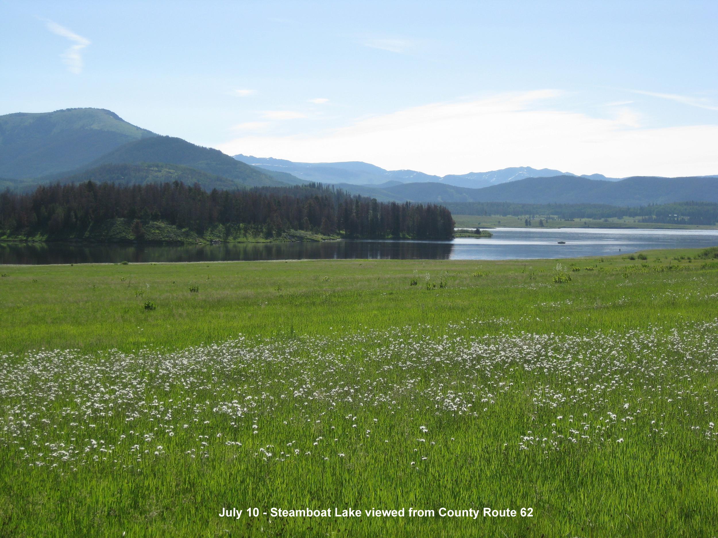
County Road 62
Mystic Valley Farm
Co Rd 46, Steamboat Springs, CO, USA
Clark
Co Rd, Clark, CO, USA
54737 Co Rd 129
Elkhead Ranch
County RD 74A, Hayden, CO, USA
US-40, Hayden, CO, USA
Routt County
Lester Mountain
41576 Co Rd 46
41576 Co Rd 46
41576 Co Rd 46
Spruce St, Steamboat Springs, CO, USA
Recent Searches:
- Elevation of Corso Fratelli Cairoli, 35, Macerata MC, Italy
- Elevation of Tallevast Rd, Sarasota, FL, USA
- Elevation of 4th St E, Sonoma, CA, USA
- Elevation of Black Hollow Rd, Pennsdale, PA, USA
- Elevation of Oakland Ave, Williamsport, PA, USA
- Elevation of Pedrógão Grande, Portugal
- Elevation of Klee Dr, Martinsburg, WV, USA
- Elevation of Via Roma, Pieranica CR, Italy
- Elevation of Tavkvetili Mountain, Georgia
- Elevation of Hartfords Bluff Cir, Mt Pleasant, SC, USA