Elevation of Athol Rd, Hebron, MD, USA
Location: United States > Maryland > Wicomico County > 1, Barren Creek >
Longitude: -75.762037
Latitude: 38.407711
Elevation: 4m / 13feet
Barometric Pressure: 101KPa
Elevation Map:
Satellite Map:
Related Photos:

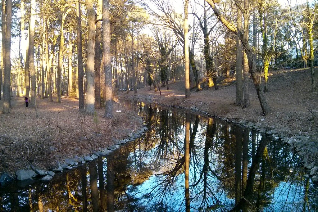
Park Foliage

Park IR
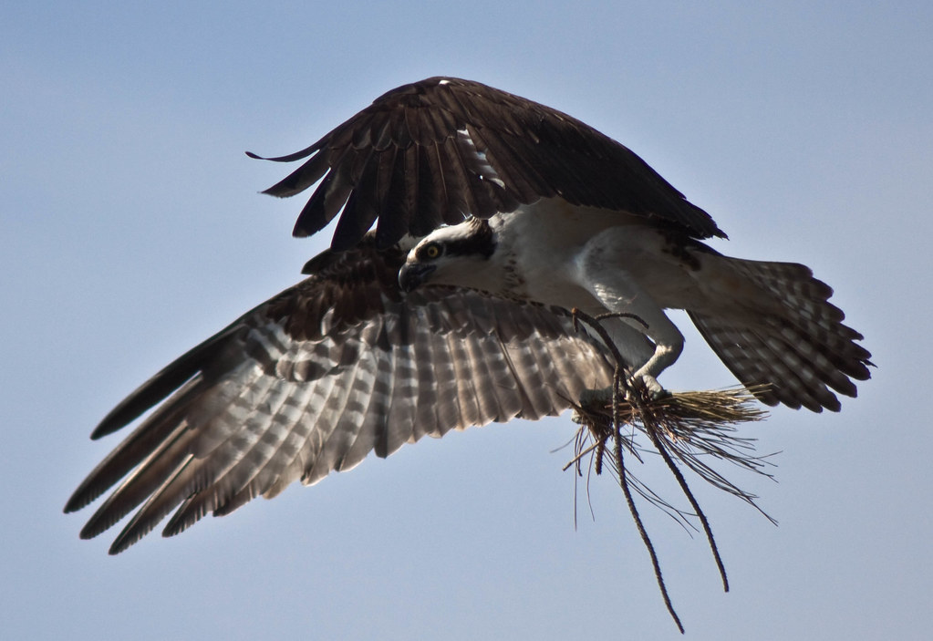
Nest Building: 101

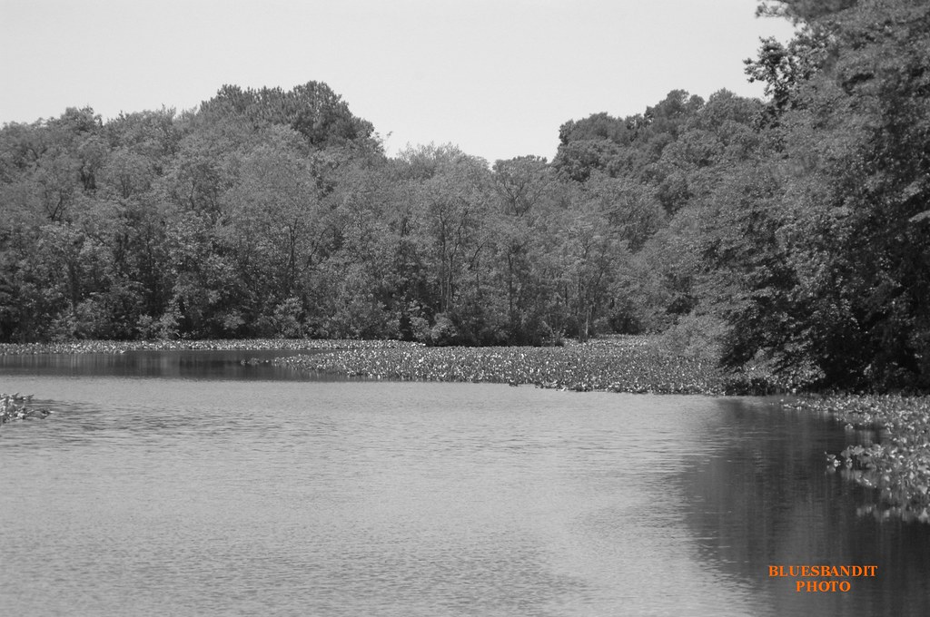
bw version

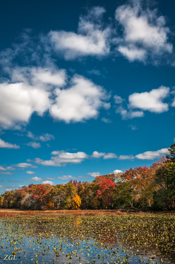
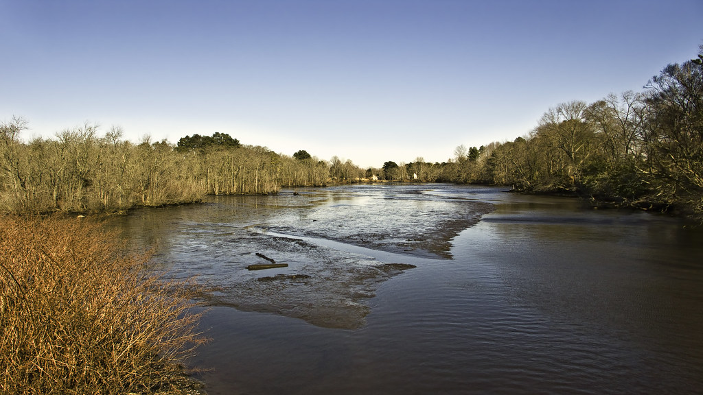
Nanticoke River Wetlands

Nanticoke River Wetlands

Sunrise Over the Nanticoke 1
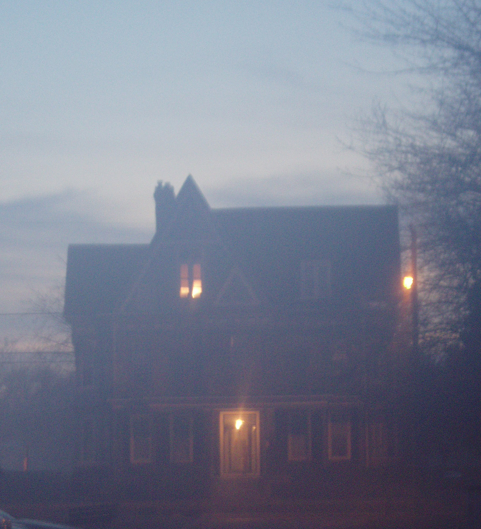
Foggy dawn, Camden Ave., Salisbury
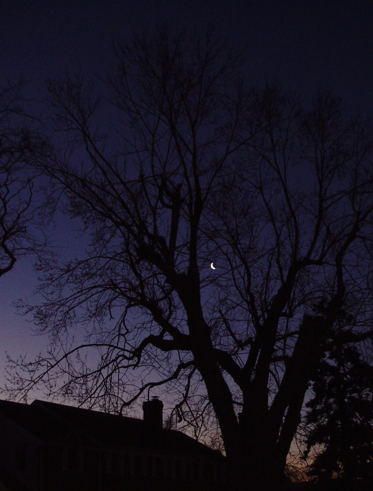
The Blueblack Cold
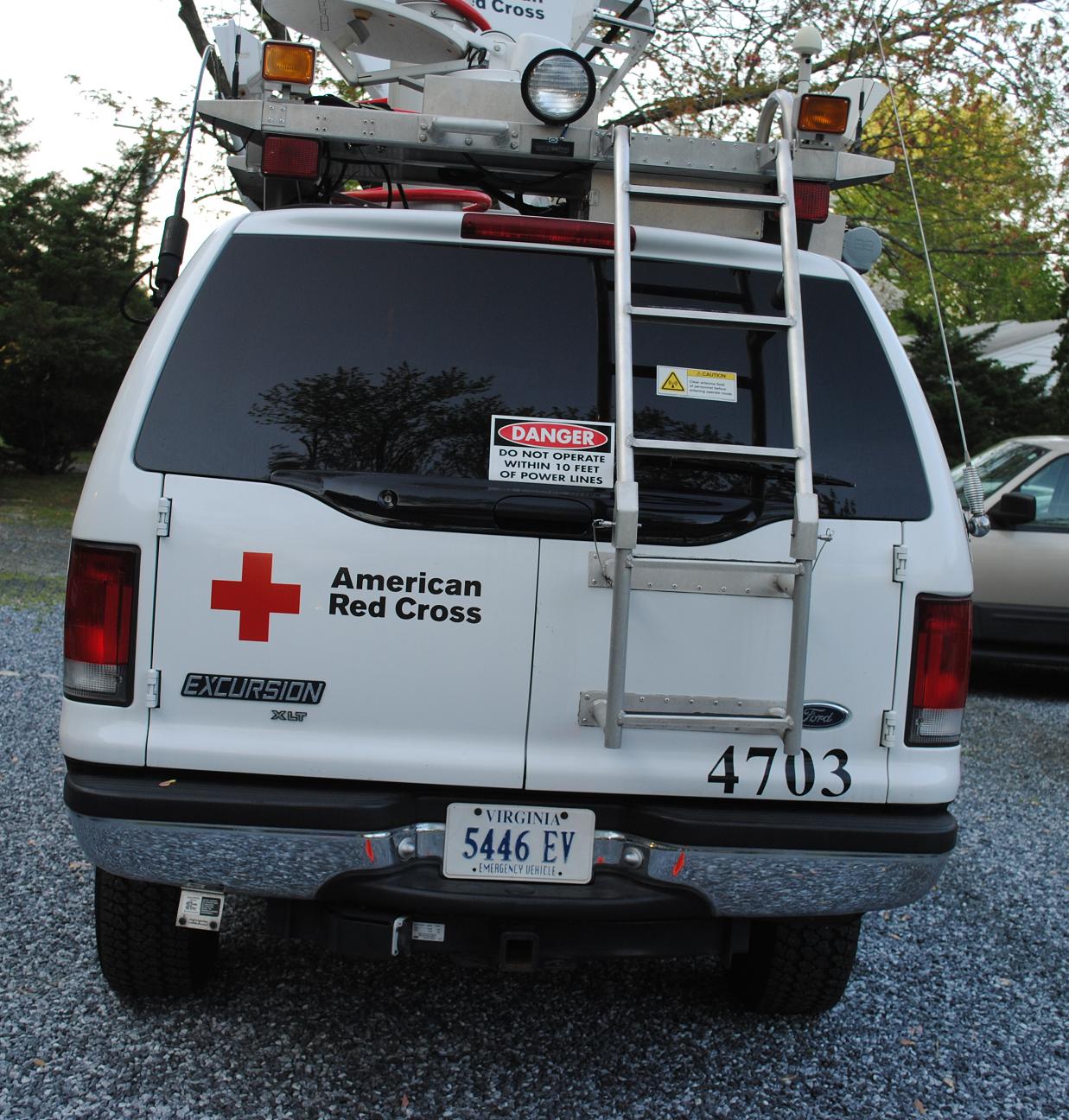
Emergency Communications Response Vehicle (ECRV) 4703
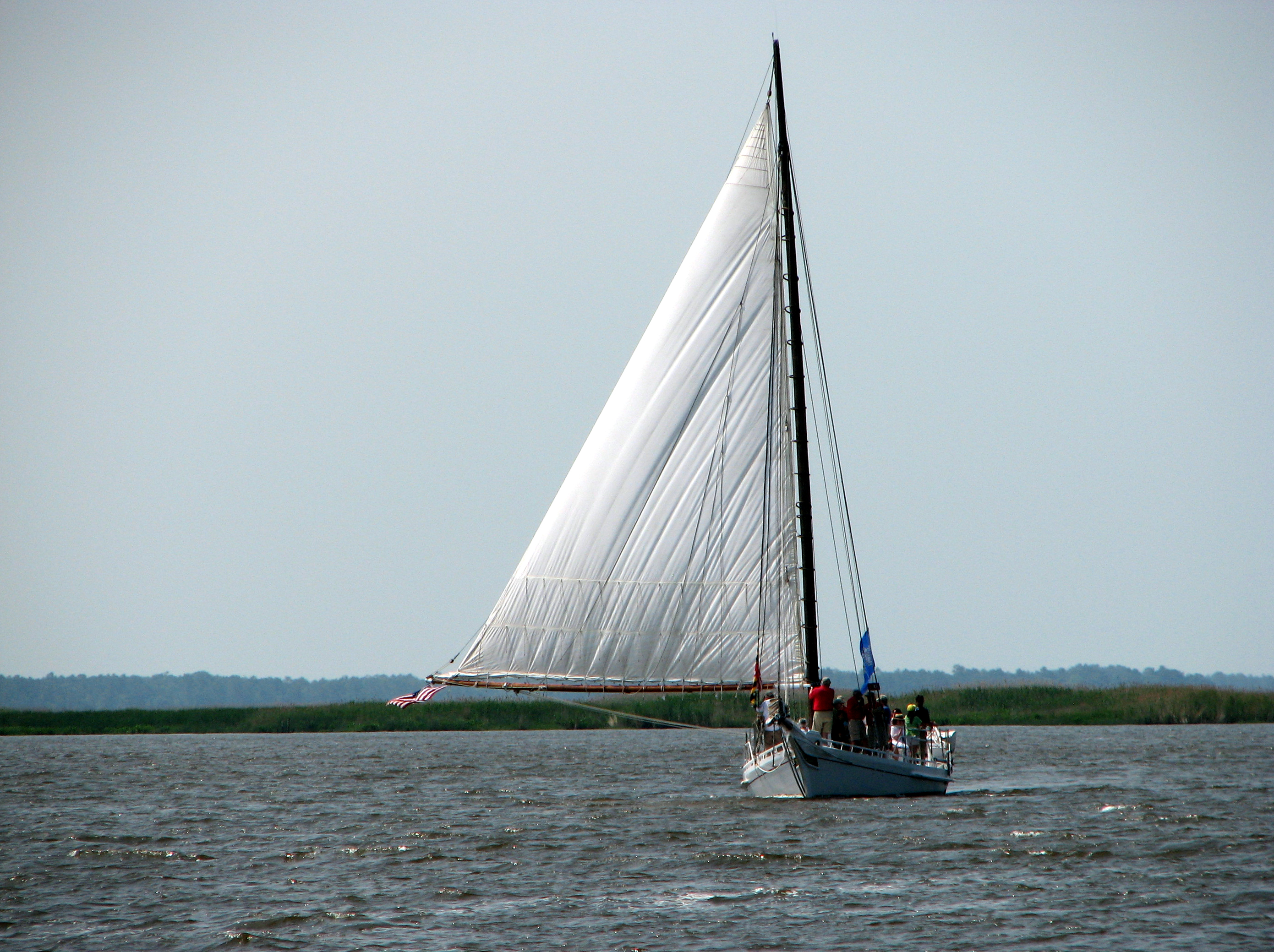
The Skipjack "Nathan of Dorchester"

How To Make A Flint Knife Edge
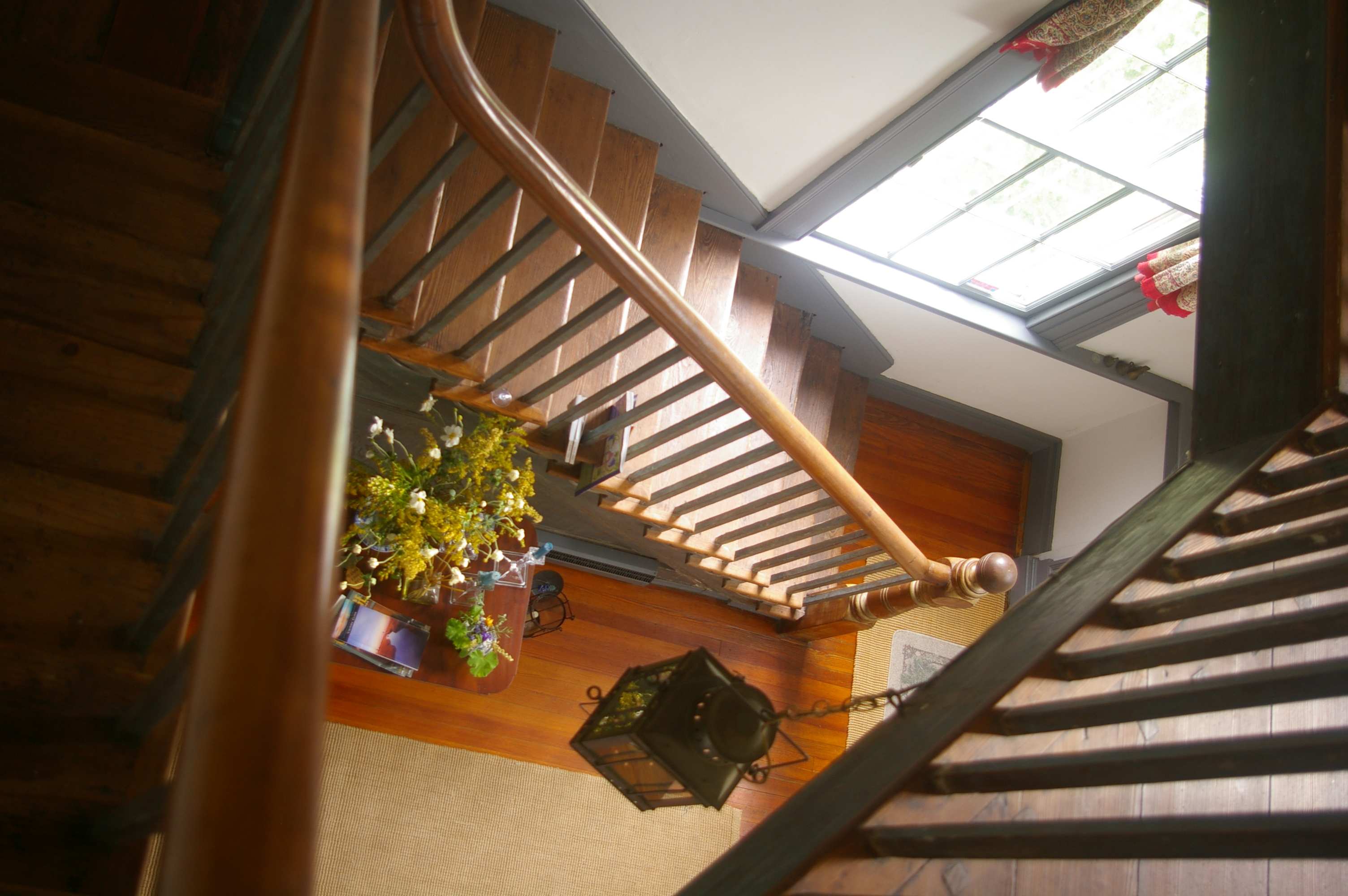
View Down the Stairs
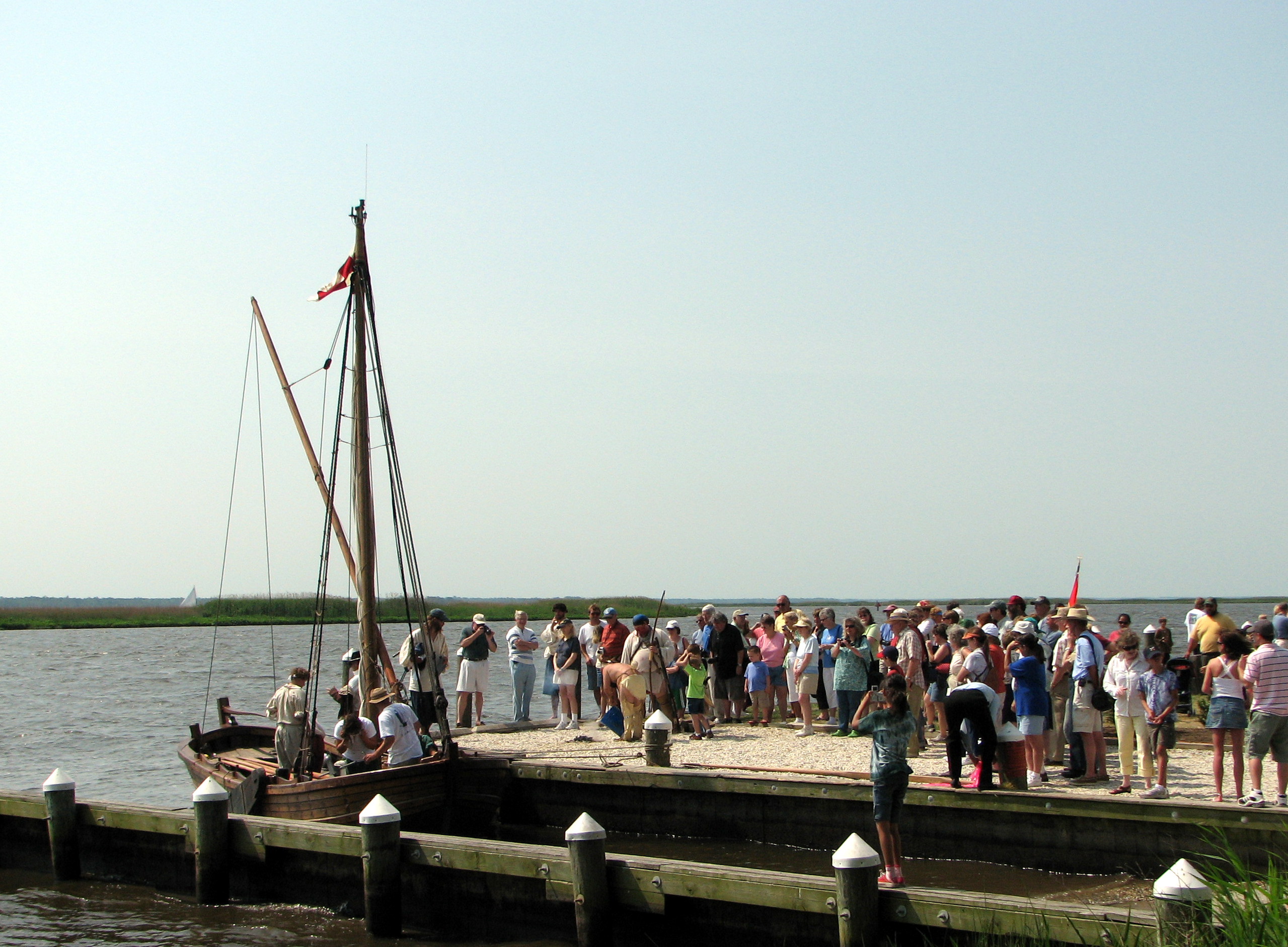
Checking Out The Shallop
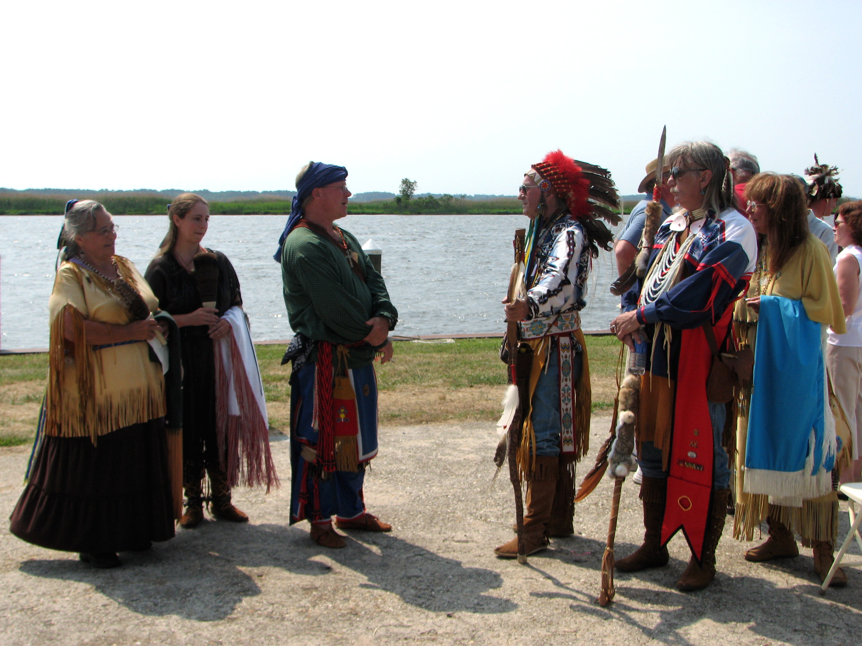
The People Who Greeted Captain John Smith

The People Who Greeted Captain John Smith

riverside dr salisbury

Juvenile RTH

The Path To The Infrarealm
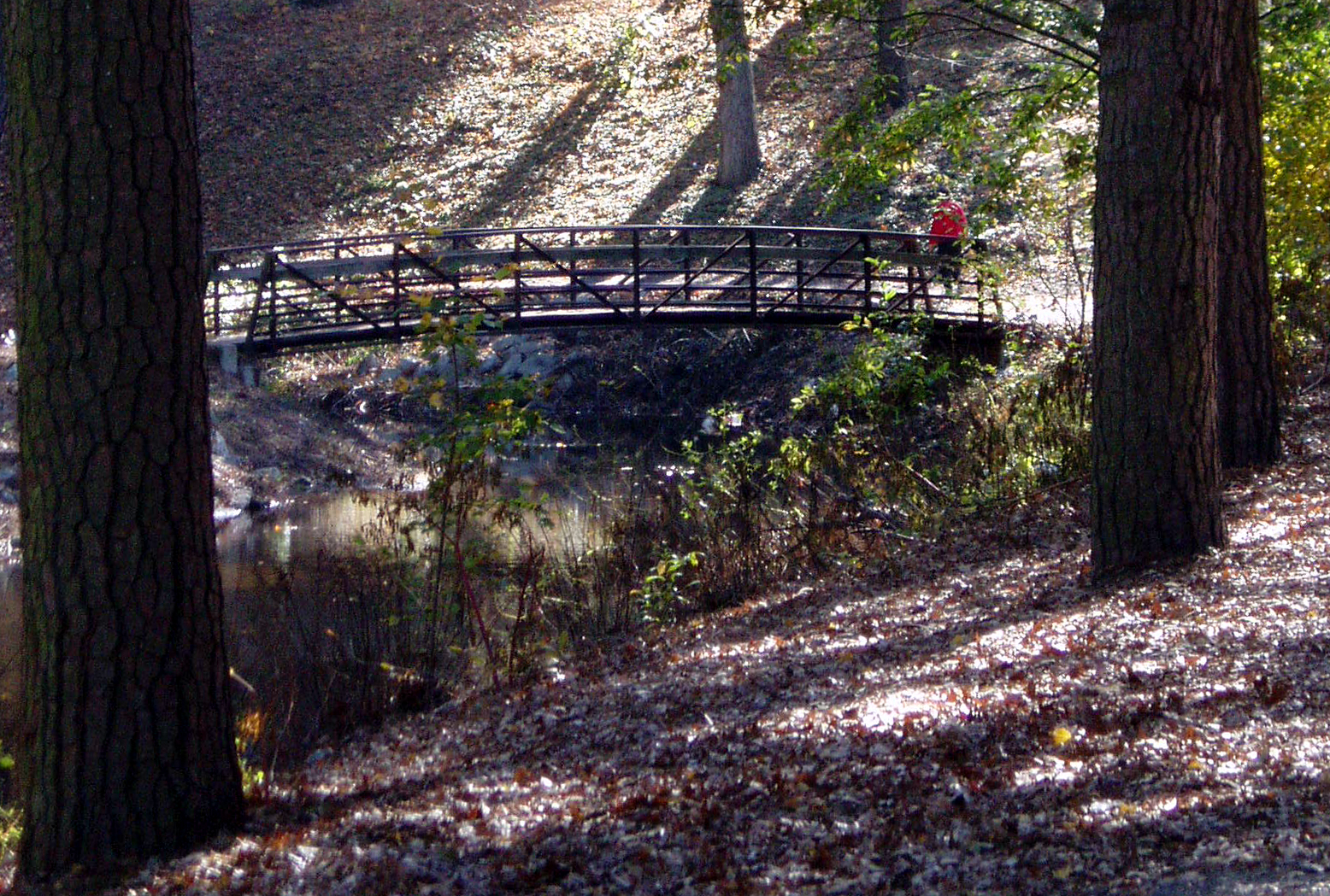
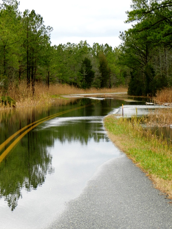
Stream view from a footbridge
Salisbury, MD

Country Road
Big Mill Pond, Fall

Tonights sunset was awesome! Capturing it from a moving car on a cell hardly does it justice.

Sharptown Planting After

Sharptown Planting After

Passing By

6-24-07 059

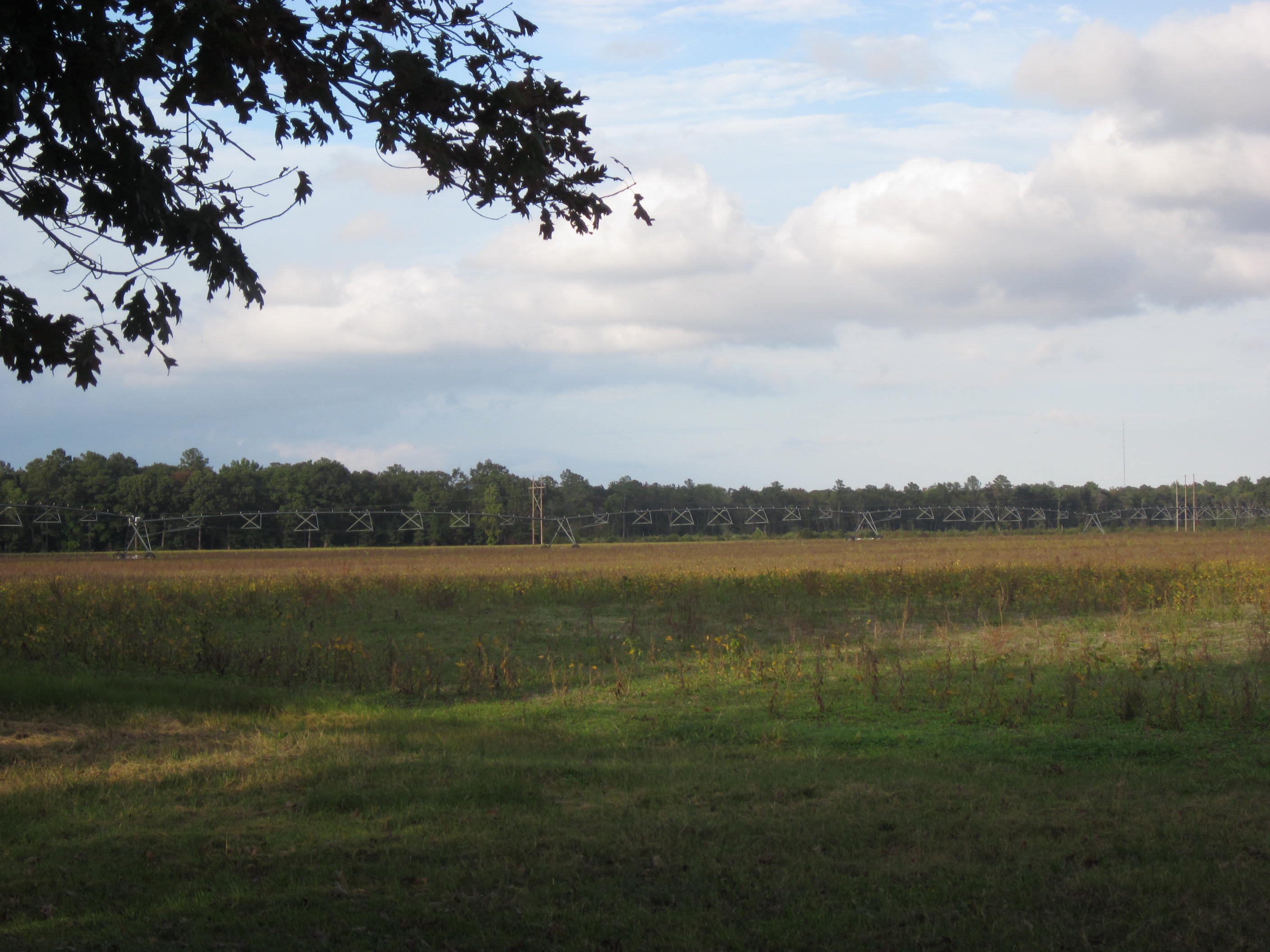
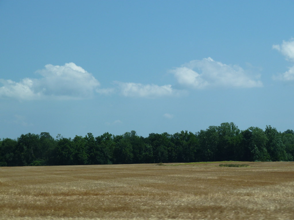
Farmland in Caroline County, Md.
6-24-07 070
Mason-Dixon Monument - Delaware / Maryland
Barren Creek, Mardela Springs, MD, 2009
Glory be to God for dappled things
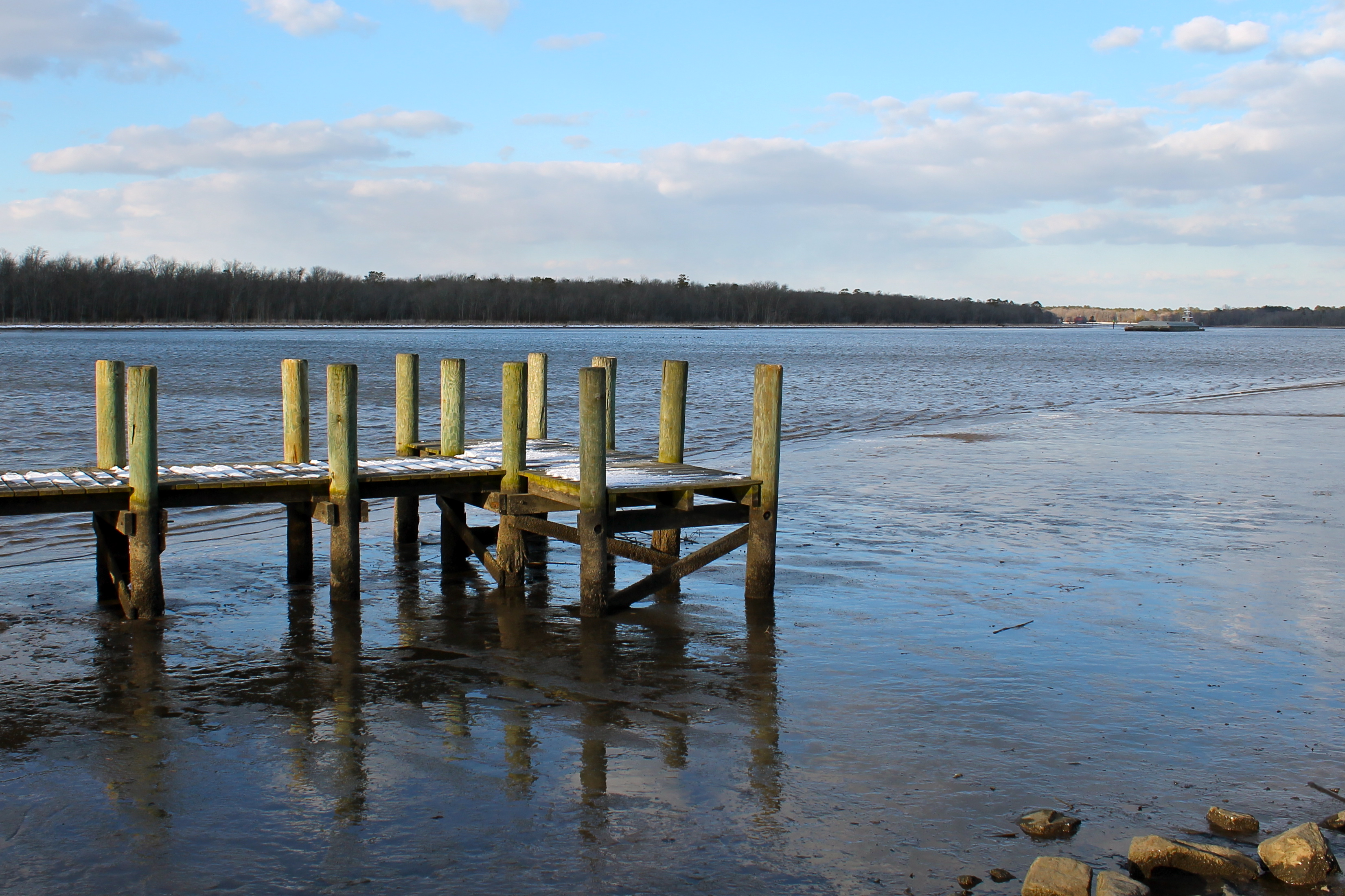
A Cold Day on the Water
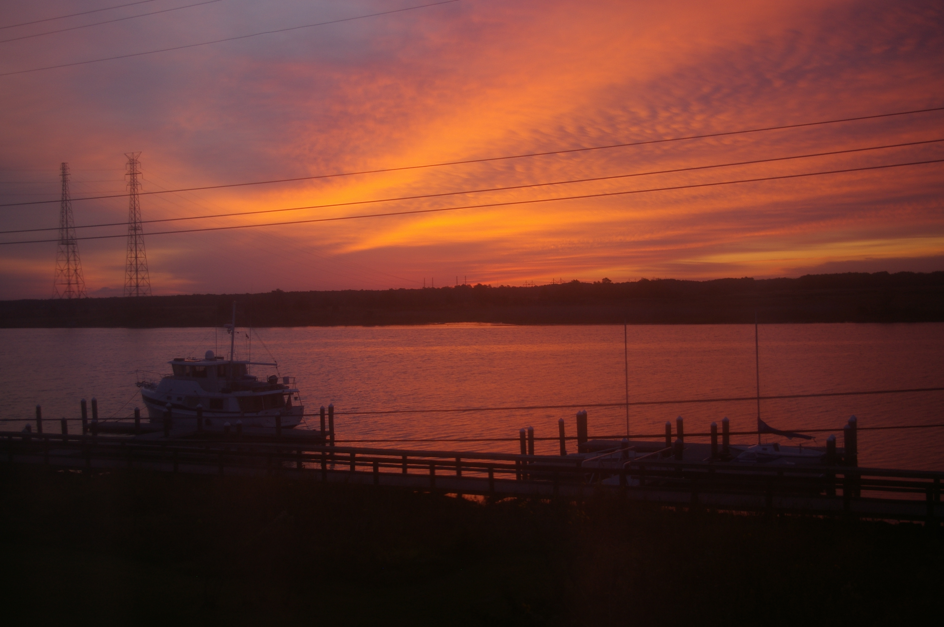
Sunrise Over the Nanticoke 5

Barren Creek, Mardela Springs, MD, 2010

2012-12-21 Elliott Island Rd 3371_2034
2012-12-21 Elliott Island Rd 3369_2032
Countryside in Western Maryland

White Barn

On Peggy's Farm
Topographic Map of Athol Rd, Hebron, MD, USA
Find elevation by address:

Places near Athol Rd, Hebron, MD, USA:
7413 Cherry Walk Rd
1, Barren Creek
2, Quantico
Quantico
6508 Quantico Rd
7211 Cherry Walk Rd
24668 Nanticoke Rd
Main St, Mardela Springs, MD, USA
Nanticoke Rd, Quantico, MD, USA
Hebron
6760 Fire Tower Rd
Delmar Road
Olde Florist Ln, Hebron, MD, USA
7577 Levin Dashiell Rd
Crooked Oak Ln, Hebron, MD, USA
Hebron
Elliott Island Rd, Vienna, MD, USA
Lewis Wharf Rd, Vienna, MD, USA
10350 Norris Twilley Rd
5117 Cooper Landing Dr
Recent Searches:
- Elevation of Corso Fratelli Cairoli, 35, Macerata MC, Italy
- Elevation of Tallevast Rd, Sarasota, FL, USA
- Elevation of 4th St E, Sonoma, CA, USA
- Elevation of Black Hollow Rd, Pennsdale, PA, USA
- Elevation of Oakland Ave, Williamsport, PA, USA
- Elevation of Pedrógão Grande, Portugal
- Elevation of Klee Dr, Martinsburg, WV, USA
- Elevation of Via Roma, Pieranica CR, Italy
- Elevation of Tavkvetili Mountain, Georgia
- Elevation of Hartfords Bluff Cir, Mt Pleasant, SC, USA