Elevation of Quantico Rd, Quantico, MD, USA
Location: United States > Maryland > Wicomico County > 2, Quantico > Quantico >
Longitude: -75.741396
Latitude: 38.3732393
Elevation: 6m / 20feet
Barometric Pressure: 101KPa
Elevation Map:
Satellite Map:
Related Photos:

Pontiac GTO (front view) "Cars of the 1960's"
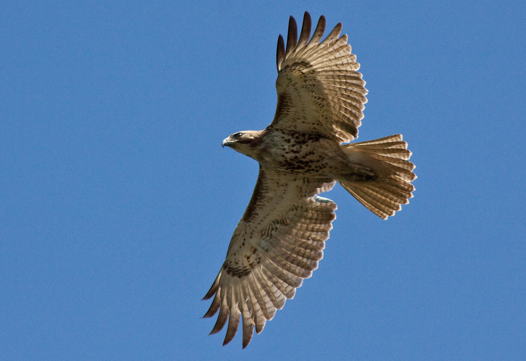
Juvenile RTH

Nanticoke River Wetlands

The Blueblack Cold

Nanticoke River Wetlands

Trinity U.M. Church, Salisbury, Maryland

Salisbury State Teachers College, Salisbury, MD

Peninsula General Hospital, Salisbury, MD

The Skipjack "Nathan of Dorchester"

St. Paul's Episcopal Church, "Old Spring Hill"

Foggy dawn, Camden Ave., Salisbury

City Park and Wicomico High School, Salisbury, MD

Trinity Methodist Church, North Division St, Salisbury, MD

Fishing Lesson

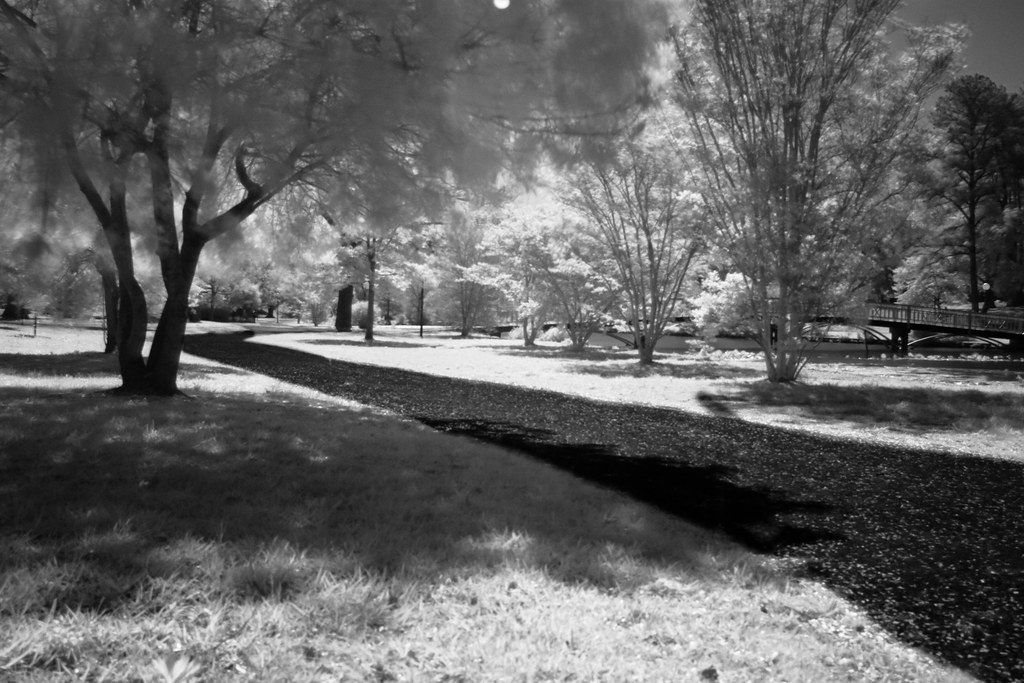
Park Foliage

riverside dr salisbury
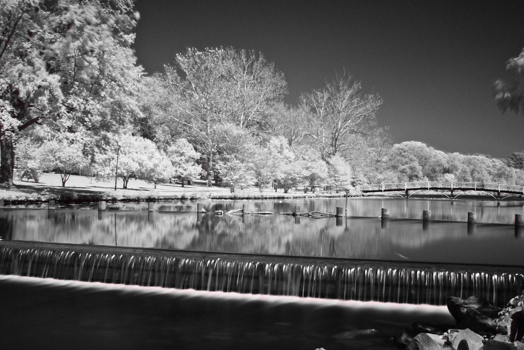
Park IR

Sandwich Tern

bw version

Nest Building: 101
The Path To The Infrarealm

Home and Nature

Country Road

Wicomico River, East Prong

Route 50 crosses the Nanticoke River

Forested Land in Wicomico County, Md.

Project Clean Stream in Wicomico County, Md.

Salisbury City Park

Glory be to God for dappled things
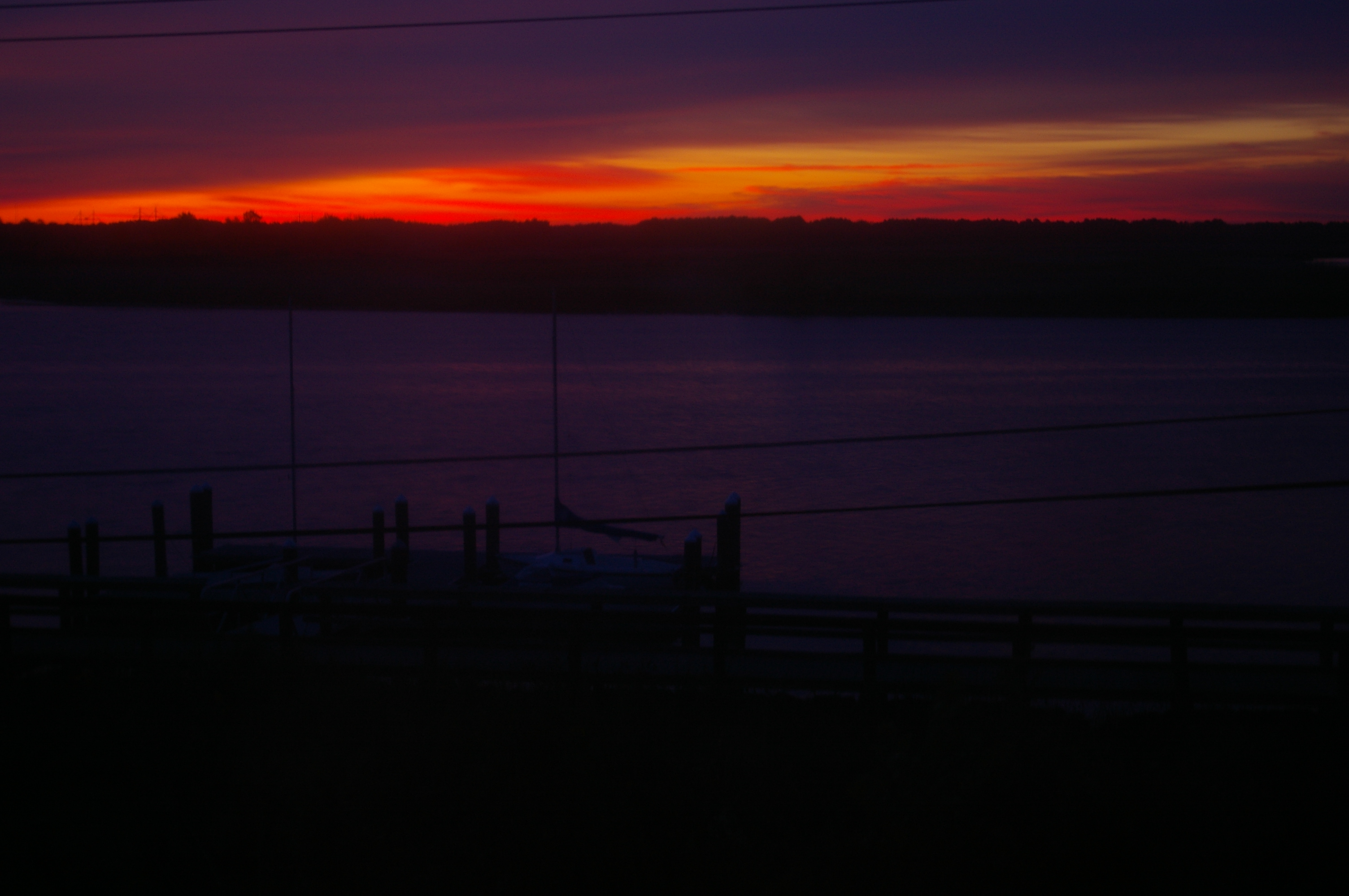
Sunrise Over the Nanticoke 1

Sunrise Over the Nanticoke 5

dawn reflected

On Peggy's Farm

Poultry Barns in Wicomico County, Md.

Rewastico Creek

Quantico Creek in Wicomico County, Md.

Rewastico Pond

Wicomico River

Field at Night

Pemberton Park
Topographic Map of Quantico Rd, Quantico, MD, USA
Find elevation by address:

Places near Quantico Rd, Quantico, MD, USA:
Quantico
2, Quantico
24668 Nanticoke Rd
Athol Rd, Hebron, MD, USA
6760 Fire Tower Rd
7413 Cherry Walk Rd
5117 Cooper Landing Dr
Nanticoke Rd, Quantico, MD, USA
Crooked Oak Ln, Hebron, MD, USA
7211 Cherry Walk Rd
6369 Oliver Dr
Riawakin Dr, Salisbury, MD, USA
7577 Levin Dashiell Rd
1, Barren Creek
Hebron
North Nithsdale Drive
Dunfries Ct, Salisbury, MD, USA
Wicomico County
Hebron
27542 Derby Dr
Recent Searches:
- Elevation of Corso Fratelli Cairoli, 35, Macerata MC, Italy
- Elevation of Tallevast Rd, Sarasota, FL, USA
- Elevation of 4th St E, Sonoma, CA, USA
- Elevation of Black Hollow Rd, Pennsdale, PA, USA
- Elevation of Oakland Ave, Williamsport, PA, USA
- Elevation of Pedrógão Grande, Portugal
- Elevation of Klee Dr, Martinsburg, WV, USA
- Elevation of Via Roma, Pieranica CR, Italy
- Elevation of Tavkvetili Mountain, Georgia
- Elevation of Hartfords Bluff Cir, Mt Pleasant, SC, USA