Elevation of Cherry Walk Rd, Hebron, MD, USA
Location: United States > Maryland > Wicomico County > Hebron > Hebron >
Longitude: -75.800608
Latitude: 38.393388
Elevation: 3m / 10feet
Barometric Pressure: 101KPa
Elevation Map:
Satellite Map:
Related Photos:

Nanticoke River Wetlands

The People Who Greeted Captain John Smith

How To Make A Flint Knife Edge

The People Who Greeted Captain John Smith

St. Paul's Episcopal Church, "Old Spring Hill"

Checking Out The Shallop

Nanticoke Manor, Vienna, Maryland

Youth and Age

Into Their Heritage

Checking It Out

Trade Goods

Attention Span Expired

Corner Stone

Corner Stone

A Day in June

Storm and Mist

riverside dr salisbury

Sandwich Tern

bw version

Nest Building: 101
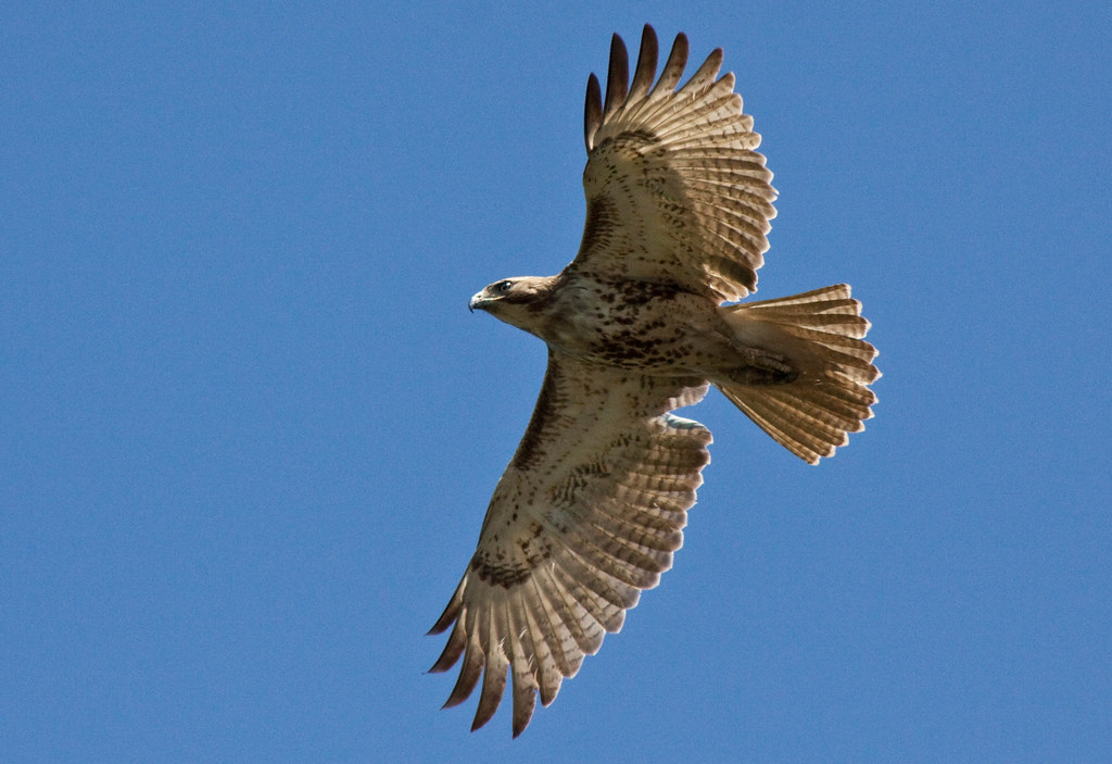
Juvenile RTH

dawn reflected

Farmland in Caroline County, Md.

Poultry Barns in Wicomico County, Md.

Route 50 crosses the Nanticoke River

Nanticoke River Wetlands

Rewastico Pond

Big Mill Pond, Fall
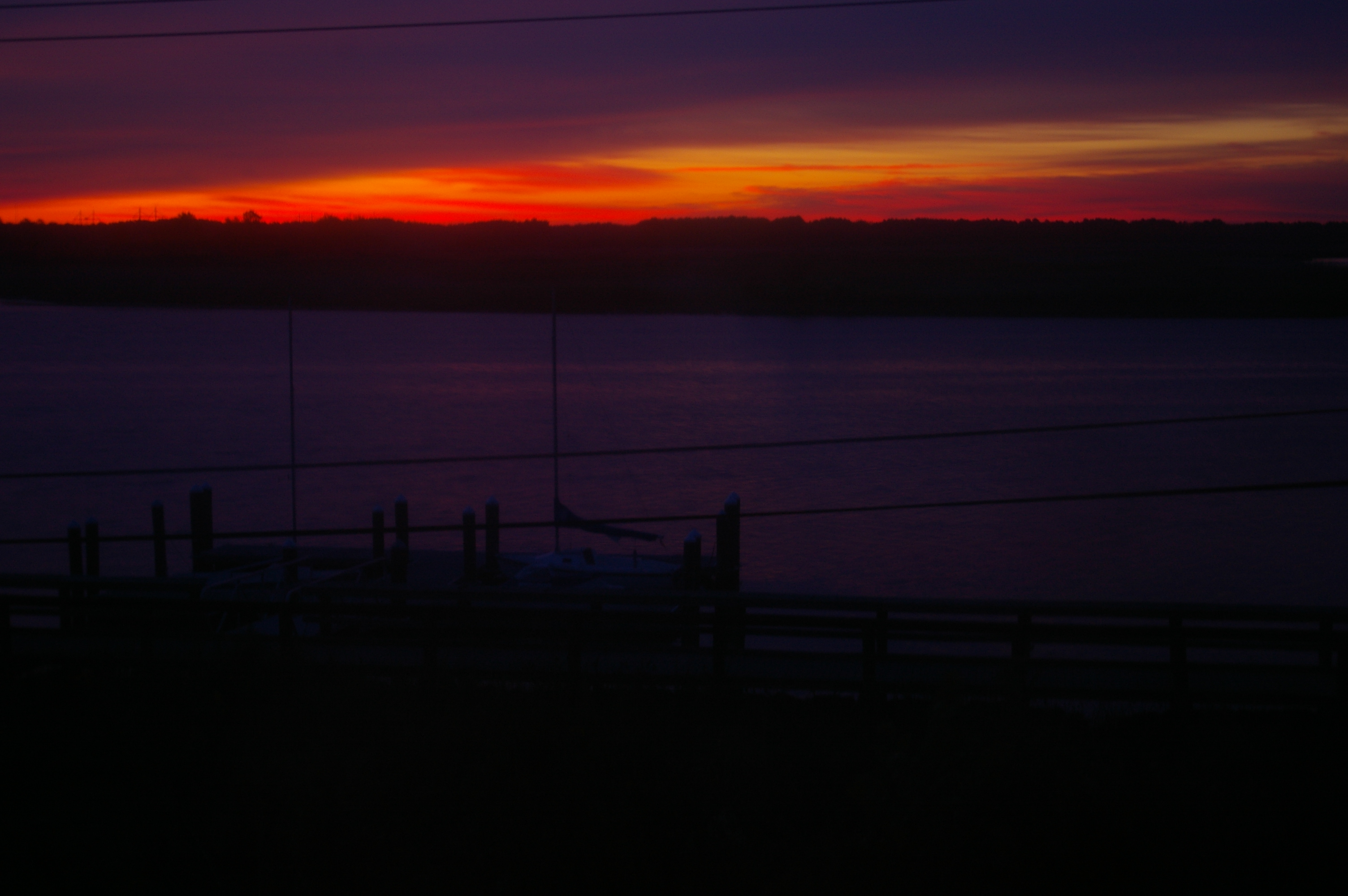
Sunrise Over the Nanticoke 1

Rewastico Pond

Forested Land in Wicomico County, Md.

Blackwater National Wildlife Refuge

Rewastico Creek

Quantico Creek in Wicomico County, Md.

Wicomico River

Blackwater National Wildlife Refuge

Field at Night

Pemberton Park

Mason-Dixon Monument - Delaware / Maryland

Barren Creek, Mardela Springs, MD, 2010

Transquaking River
Topographic Map of Cherry Walk Rd, Hebron, MD, USA
Find elevation by address:

Places near Cherry Walk Rd, Hebron, MD, USA:
7413 Cherry Walk Rd
1, Barren Creek
Athol Rd, Hebron, MD, USA
Nanticoke Rd, Quantico, MD, USA
24668 Nanticoke Rd
Lewis Wharf Rd, Vienna, MD, USA
2, Quantico
Quantico
6508 Quantico Rd
Elliott Island Rd, Vienna, MD, USA
Elliott Island Rd, Vienna, MD, USA
Main St, Mardela Springs, MD, USA
Vienna
104 Gay St
Tyaskin
6760 Fire Tower Rd
11, Drawbridge
5117 Cooper Landing Dr
Hebron
Crooked Oak Ln, Hebron, MD, USA
Recent Searches:
- Elevation of Corso Fratelli Cairoli, 35, Macerata MC, Italy
- Elevation of Tallevast Rd, Sarasota, FL, USA
- Elevation of 4th St E, Sonoma, CA, USA
- Elevation of Black Hollow Rd, Pennsdale, PA, USA
- Elevation of Oakland Ave, Williamsport, PA, USA
- Elevation of Pedrógão Grande, Portugal
- Elevation of Klee Dr, Martinsburg, WV, USA
- Elevation of Via Roma, Pieranica CR, Italy
- Elevation of Tavkvetili Mountain, Georgia
- Elevation of Hartfords Bluff Cir, Mt Pleasant, SC, USA