Elevation of Crooked Oak Ln, Hebron, MD, USA
Location: United States > Maryland > Wicomico County > 2, Quantico >
Longitude: -75.682661
Latitude: 38.377592
Elevation: 11m / 36feet
Barometric Pressure: 101KPa
Elevation Map:
Satellite Map:
Related Photos:

Park Foliage

Juvenile RTH

riverside dr salisbury

Park IR

Nest Building: 101
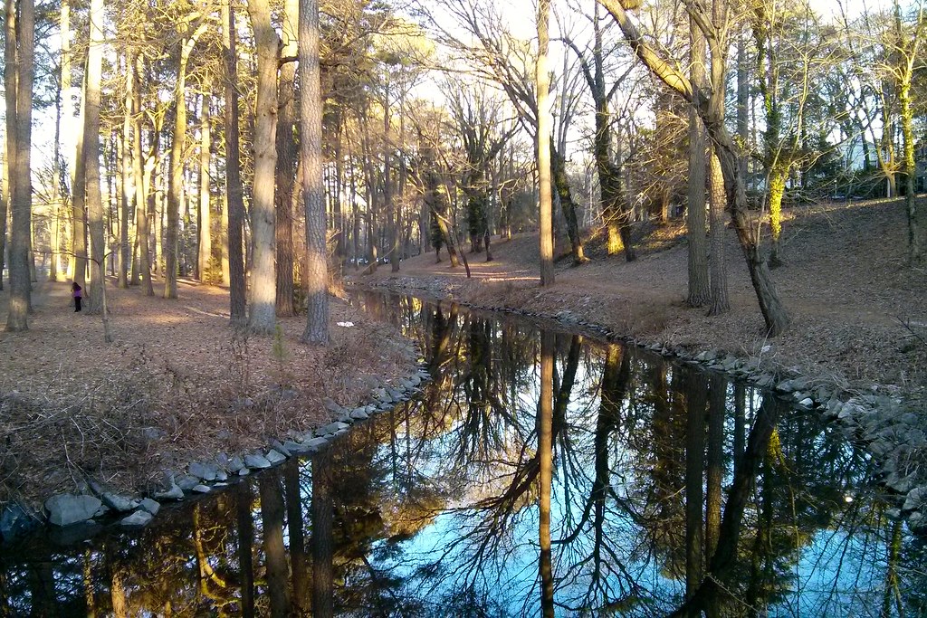
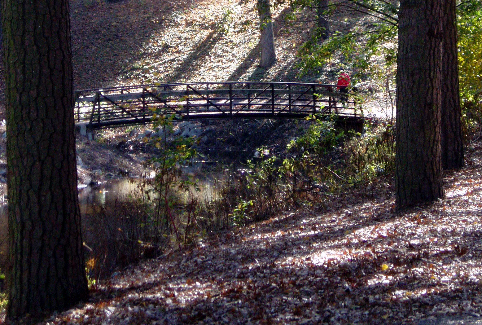
Stream view from a footbridge

bw version

The Path To The Infrarealm

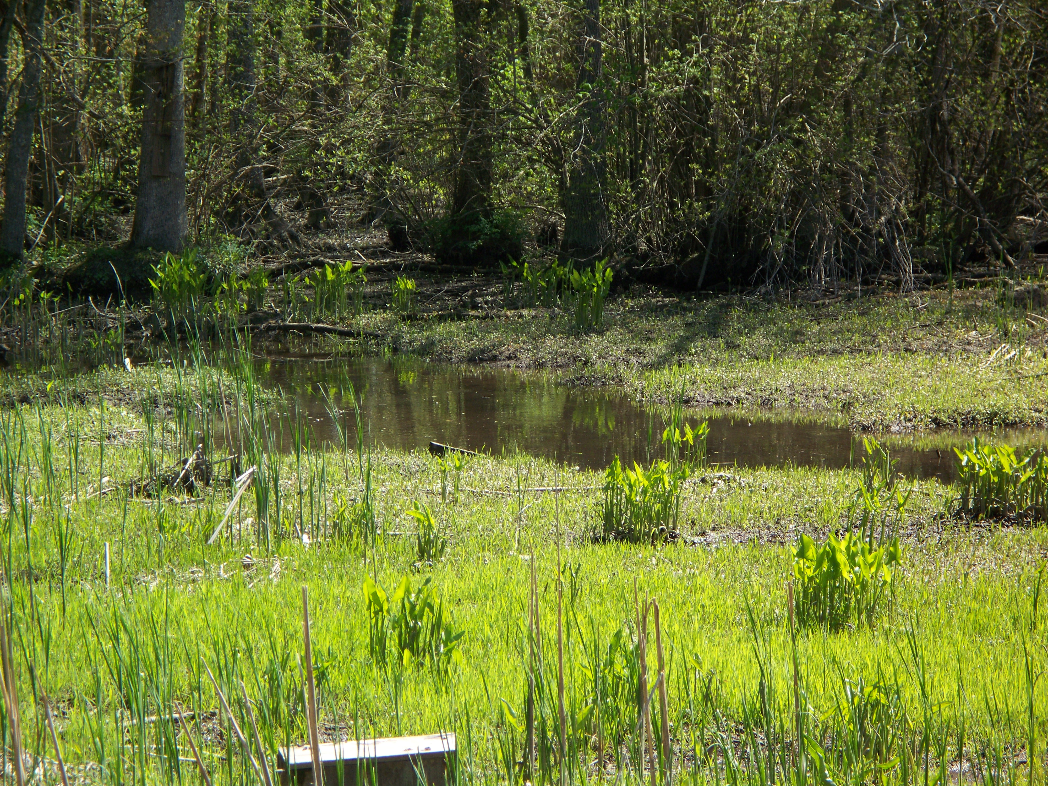
Nanticoke River Wetlands

Salisbury City Park

Smith Mining
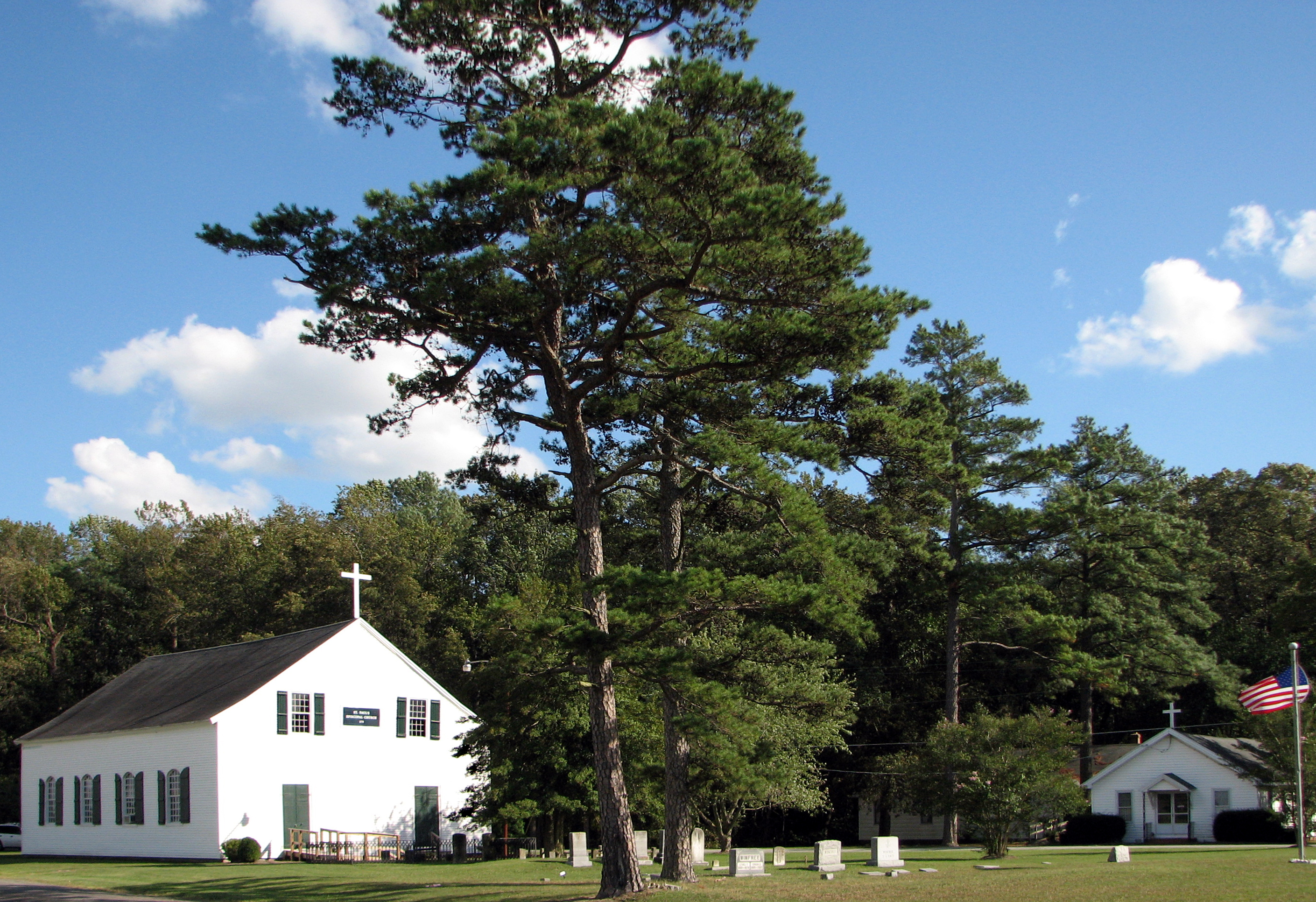
St. Paul's Episcopal Church, "Old Spring Hill"

Holloway Hall
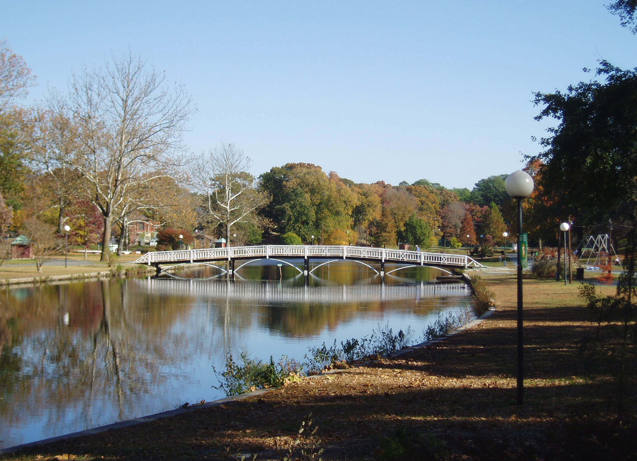
Salisbury City Park

St. Francis de Sales Catholic Church, Salisbury, Maryland

Sunset over Riverside Drive

Improvised Barber Shop
Faithful sentinel

Fishing Lesson
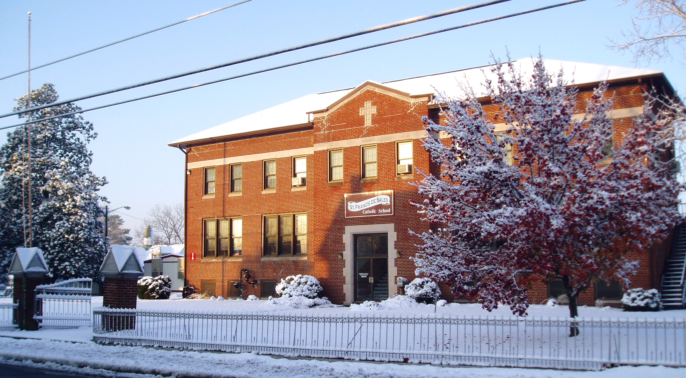
St. Francis de Sales Catholic School

Nanticoke River Wetlands

dawn reflected

Sunset 1

Sunset 4

Sunset 5

Sunset 3

Sunset 2

Wicomico River, East Prong

Sunset 6

Nanticoke River Wetlands

Stream view from a footbridge

Whitehaven, Maryland, 2011
Glory be to God for dappled things

On Peggy's Farm

Sunset in Salisbury,MD
Marsh at Pemberton Historic Park

Country Road
Today's trip to the zoo!! So much fun :)

Stand of Trees

Salisbury Maryland
Topographic Map of Crooked Oak Ln, Hebron, MD, USA
Find elevation by address:

Places near Crooked Oak Ln, Hebron, MD, USA:
6760 Fire Tower Rd
Riawakin Dr, Salisbury, MD, USA
6369 Oliver Dr
Wicomico County
7577 Levin Dashiell Rd
North Nithsdale Drive
27542 Derby Dr
5900 Oxbridge Dr
Dunfries Ct, Salisbury, MD, USA
Equestrian Drive
Hebron
6059 Bell Creek Dr
5117 Cooper Landing Dr
Hebron
9, Salisbury
Silver Run Ln, Salisbury, MD, USA
27933 Riverside Dr Ext
Chinaberry Drive
Olde Florist Ln, Hebron, MD, USA
6508 Quantico Rd
Recent Searches:
- Elevation of Corso Fratelli Cairoli, 35, Macerata MC, Italy
- Elevation of Tallevast Rd, Sarasota, FL, USA
- Elevation of 4th St E, Sonoma, CA, USA
- Elevation of Black Hollow Rd, Pennsdale, PA, USA
- Elevation of Oakland Ave, Williamsport, PA, USA
- Elevation of Pedrógão Grande, Portugal
- Elevation of Klee Dr, Martinsburg, WV, USA
- Elevation of Via Roma, Pieranica CR, Italy
- Elevation of Tavkvetili Mountain, Georgia
- Elevation of Hartfords Bluff Cir, Mt Pleasant, SC, USA