Elevation of Fire Tower Rd, Hebron, MD, USA

Location: United States > Maryland > Wicomico County > Hebron > Hebron >

Longitude: -75.691892

Latitude: 38.379536

Elevation: 9m / 30feet

Barometric Pressure: 101KPa

Elevation Map:

elevation map of Fire Tower Rd, Hebron, MD, USA

Satellite Map:

Satellite map of Fire Tower Rd, Hebron, MD, USA

Related Photos:

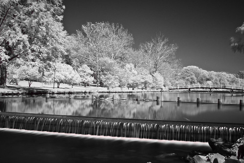
city longexposure bridge blackandwhite white black reflection water canon river md downtown camden maryland easternshore reflected infrared salisbury chesapeake eastcoast chesapeakebay delmarva easternshoreofmaryland wicomico wicomicoriver downtownsalisbury canon50d shoredelmarvaeastern salisburycitypark
Park IR
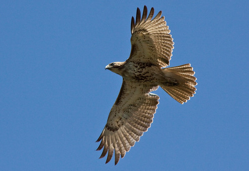
wild bird water birds canon river bay md kayak wildlife feathers maryland easternshore estuary raptor shore kayaking watershed salisbury hunter eastern juvenile chesapeake birdofprey chesapeakebay redtailhawk delmarva birdwatchers easternshoreofmaryland rth wicomico wicomicoriver canon50d juvenileredtailhawk
Juvenile RTH
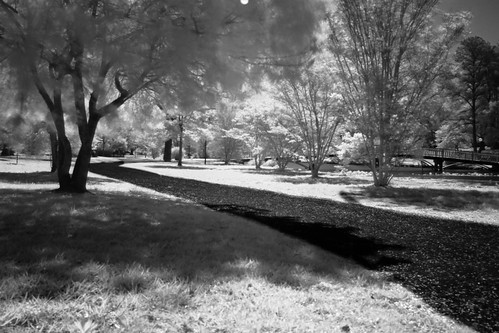
longexposure bridge blackandwhite white black monochrome canon md downtown path camden maryland easternshore infrared eastern pathway eastcoast easternshoreofmaryland wicomico wicomicoriver downtownsalisbury canon50d salisburycitypark
The Path To The Infrarealm
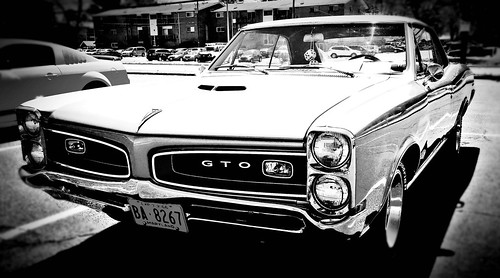
pontiac gto sixties 1960s carsofthe60s musclecars pontiacgto classiccars musclecar carsofthesixties classics americanmusclecars americanmuscle car automobile carshow marylandcarshows delmarvacarshows salisburymaryland wicomicocountymd delmarva maryland wicomicocounty salisburymd delmarvacarshow carshows carsofyesteryear imagesbyalteredart grunge 1966 66pontiac cars 60s classic hotrod oldpontiac blackandwhite monochrome
Pontiac GTO (front view) "Cars of the 1960's"
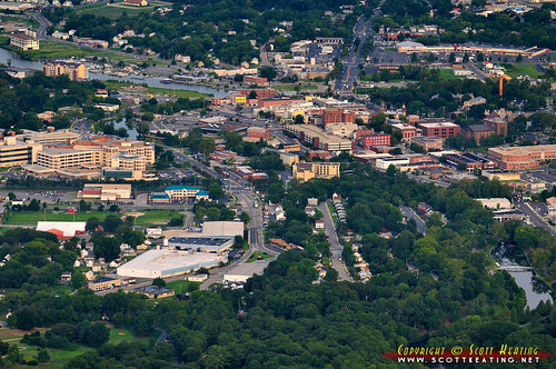
city usa geotagged unitedstates maryland aerial salisbury nevinsaddition geo:lat=3836373353 geo:lon=7560138702
Salisbury, MD
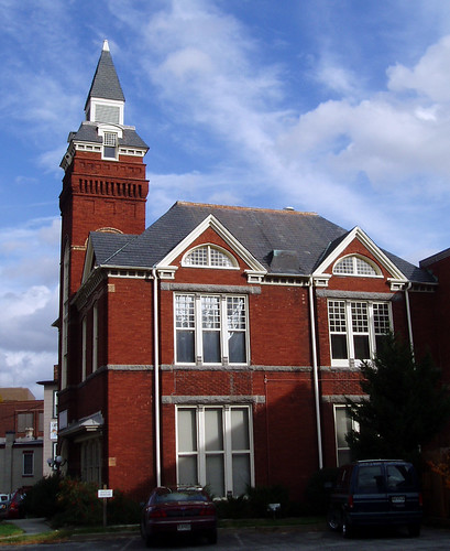
geotagged cityhall maryland salisbury delmarva
Old City Hall
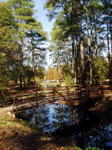
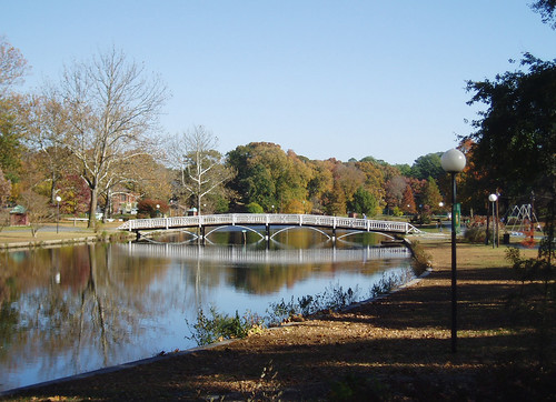
park bridge autumn pine geotagged footbridge maryland salisbury loblolly delmarva
Footbridge and Loblollies
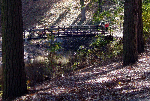
park bridge autumn geotagged footbridge maryland salisbury delmarva
Glory be to God for dappled things
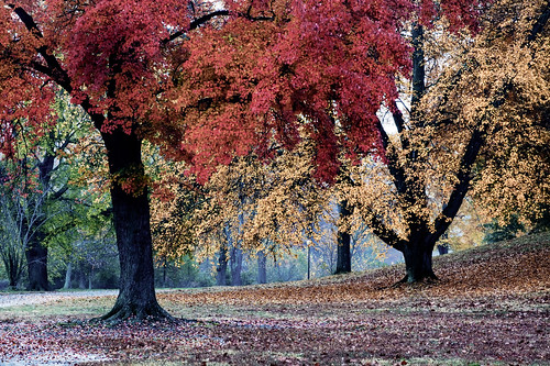
park autumn fall geotagged maryland scene serenity salisbury delmarva
Salisbury City Park
reflection river md maryland easternshore salisbury duotone delmarva wicomico wicomicoriver canon50d
riverside dr salisbury
Park Foliage
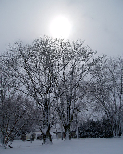
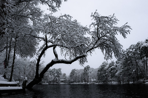
winter snow tree geotagged maryland delmarva
Only God can make a tree
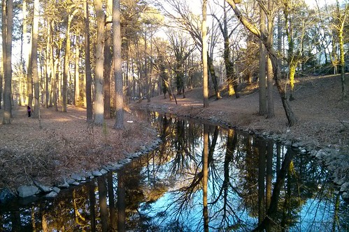
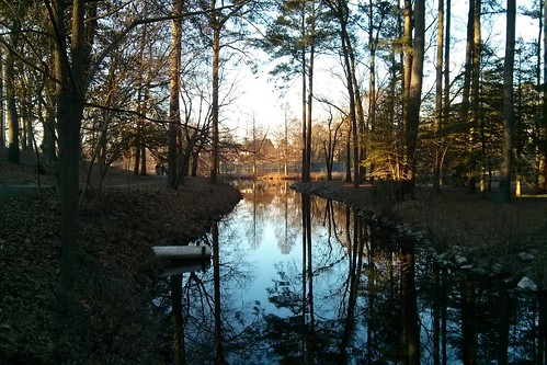
md salisbury salisburycitypark
Stream view from a footbridge
galleries habitats landscapesgallery nanticokeriver nature transportation waterbodies wetlands aerial streams tributary unitedstates exif:lens=350mmf18 geocity camera:make=nikon exif:aperture=ƒ63 exif:make=nikon exif:isospeed=800 exif:model=nikond60 camera:model=nikond60 exif:focallength=35mm geo:country=unitedstates geostate
Nanticoke River Wetlands
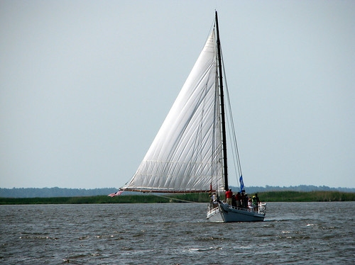
vienna geotagged sailing maryland easternshore 400 dorchester nanticoke delmarva johnsmith skipjack anawesomeshot
The Skipjack "Nathan of Dorchester"
agriculture business habitats nanticokeriver nature rivers transportation waterbodies wetlands aerial farm farming farmland food tributary unitedstates exif:lens=350mmf18 geocity camera:make=nikon exif:aperture=ƒ63 exif:make=nikon exif:isospeed=800 exif:model=nikond60 camera:model=nikond60 exif:focallength=35mm geo:country=unitedstates geostate
Nanticoke River Wetlands
md salisbury salisburycitypark
Stream view from a footbridge
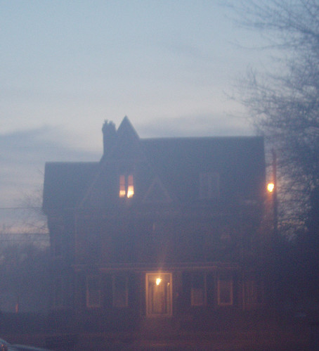
geotagged interestingness camden maryland explore salisbury delmarva
Foggy dawn, Camden Ave., Salisbury
carshow orange ford thunderbird 1960 sixties fordthunderbird orangecars carsofthe60s thecolororange oldford tbird 1960s orangeford 1960fordthunderbird 1960tbird thingsthatareorange sbymd salisburymaryland salisburymd delmarvacarshows maryland easternshore marylandcarshow delmarvapeninsula wicomicocountymd
ground view of a Tbird from the 1960's
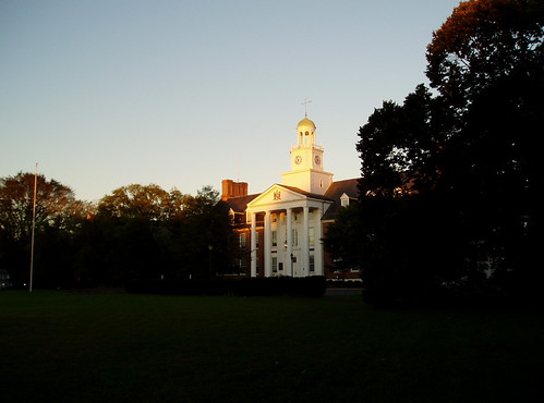
geotagged university albaluminis maryland scene salisbury holloway delmarva
Holloway Hall
transportation aerial unitedstates exif:lens=350mmf18 geocity camera:make=nikon exif:aperture=ƒ63 exif:make=nikon exif:isospeed=800 exif:model=nikond60 camera:model=nikond60 exif:focallength=35mm geo:country=unitedstates geostate
Nanticoke River Wetlands
greatblueheron heron wildlife bird pond leonardsmillpond delmar md maryland marylandwildlife mist misty earlymorningmist sunrise sillhouette silhouettes trees water kayak kayaking kayakmaryland
Misty Morning Heron
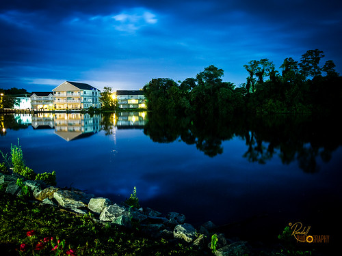
flowers blue trees houses sky usa house lake plant flower building tree green nature water beautiful grass night landscape us amazing nice interesting md pretty peace unitedstates dusk awesome maryland olympus calm salisbury waterscape epl1
Home and Nature
That Maple Tree
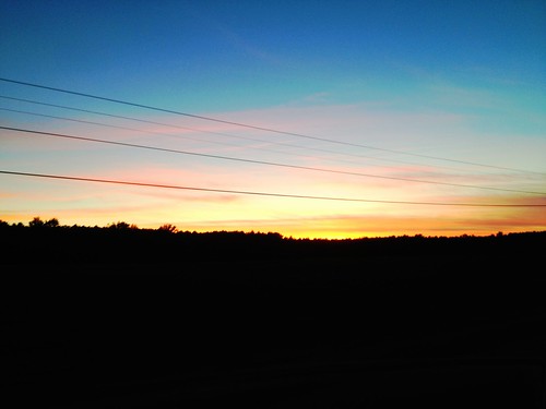
sunset water creek bay boat maryland chesapeake easton
Tonights sunset was awesome! Capturing it from a moving car on a cell hardly does it justice.
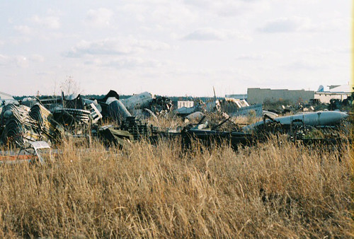
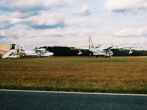
AT-6 Texan Boneyard
Site 9. Mitchel Pond
Salisbury-Wicomico County Airport Maryland.
trees nature entrance farmland pines treelined
On Peggy's Farm
geocaching unitedstates hiking maryland cam2010 shadpoint
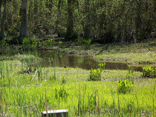
Marsh at Pemberton Historic Park
road usa geotagged highway traffic unitedstates maryland aerial salisbury bypass us13 snowhillrd nevinsaddition geo:lat=3833307248 geo:lon=7556945802 salisburybypass
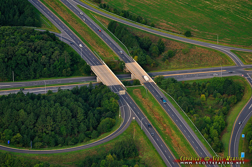
Salisbury Bypass Interchange
landscape easternshore whitehaven gh1 wicomicoriver lumix14mm140mm
Whitehaven, Maryland, 2011
Sunset 1
Sunset 4
Sunset 5
agriculture agriculturegallery business galleries habitats md maryland summer transportation wicomicocounty aerial farm farming field food forests woods unitedstates geocity camera:make=nikon exif:aperture=ƒ63 exif:focallength=55mm exif:isospeed=800 geo:country=unitedstates exif:model=nikond60 camera:model=nikond60 geostate exif:make=nikon exif:lens=5502000mmf4056
Poultry Barns in Wicomico County, Md.
habitats nature transportation aerial forests issuesairpollution issuesforests woods unitedstates geocity camera:make=nikon exif:aperture=ƒ63 exif:focallength=55mm exif:isospeed=800 geo:country=unitedstates exif:model=nikond60 camera:model=nikond60 geostate exif:make=nikon exif:lens=5502000mmf4056
Forested Land in Wicomico County, Md.
habitats wetlands unitedstates geocity camera:make=nikon exif:aperture=ƒ63 exif:focallength=55mm exif:isospeed=800 geo:country=unitedstates exif:model=nikond60 camera:model=nikond60 geostate exif:make=nikon exif:lens=5502000mmf4056
Route 50 crosses the Nanticoke River