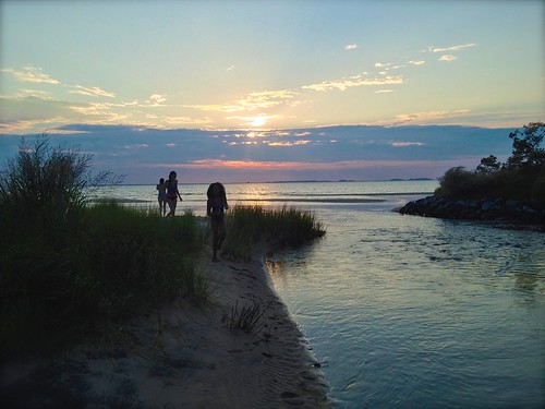
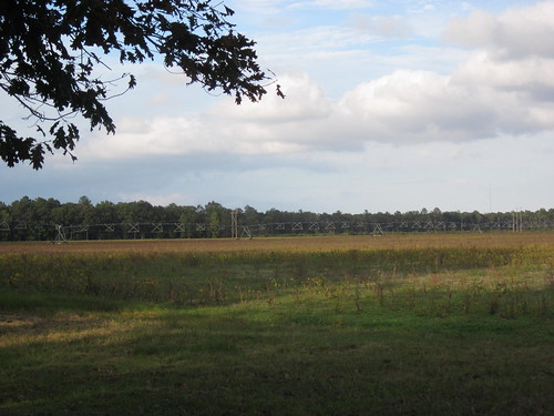
Elevation of Cherry Walk Rd, Hebron, MD, USA

Location: United States > Maryland > Wicomico County > Hebron > Hebron >

Longitude: -75.789278

Latitude: 38.398309

Elevation: 3m / 10feet

Barometric Pressure: 101KPa

Elevation Map:

elevation map of Cherry Walk Rd, Hebron, MD, USA

Satellite Map:

Satellite map of Cherry Walk Rd, Hebron, MD, USA

Related Photos:

bird leucophaeusatricilla thalasseussandvicensis dock bay choate americanbirdnames
Sandwich Tern
blackandwhite bw reflection dawn md maryland salisbury wicomico wicomicoriver
bw version
galleries habitats landscapesgallery nanticokeriver nature transportation waterbodies wetlands aerial streams tributary unitedstates exif:lens=350mmf18 geocity camera:make=nikon exif:aperture=ƒ63 exif:make=nikon exif:isospeed=800 exif:model=nikond60 camera:model=nikond60 exif:focallength=35mm geo:country=unitedstates geostate
Nanticoke River Wetlands
vienna geotagged indian maryland easternshore 400 dorchester nanticoke delmarva johnsmith
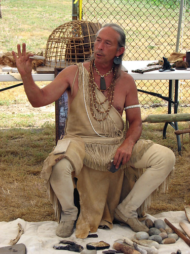
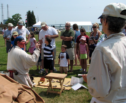
How To Make A Flint Knife Edge
vienna geotagged indian maryland 400 dorchester nanticoke delmarva johnsmith
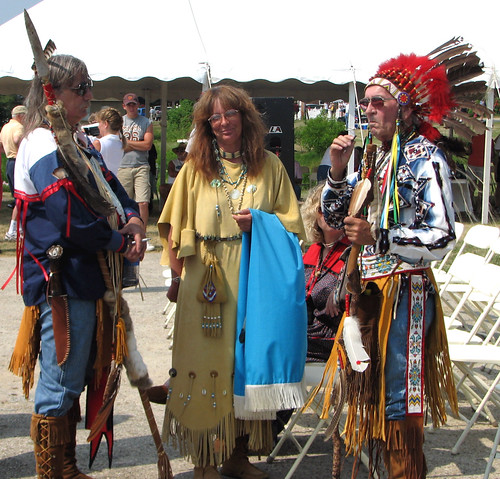
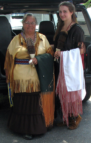
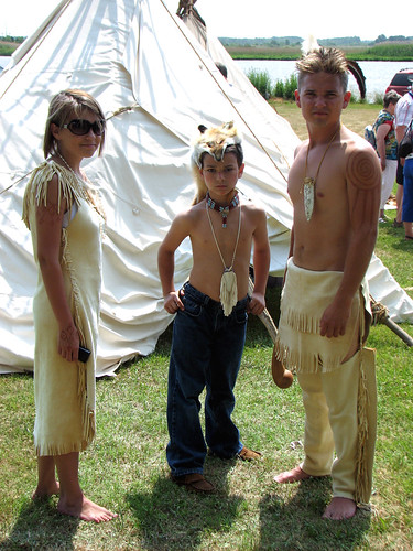
The People Who Greeted Captain John Smith
vienna geotagged indian maryland 400 dorchester nanticoke delmarva johnsmith
The People Who Greeted Captain John Smith
vienna geotagged sailing maryland easternshore 400 dorchester nanticoke delmarva johnsmith skipjack anawesomeshot
The Skipjack "Nathan of Dorchester"
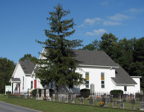
old church geotagged springhill maryland easternshore episcopal delmarva
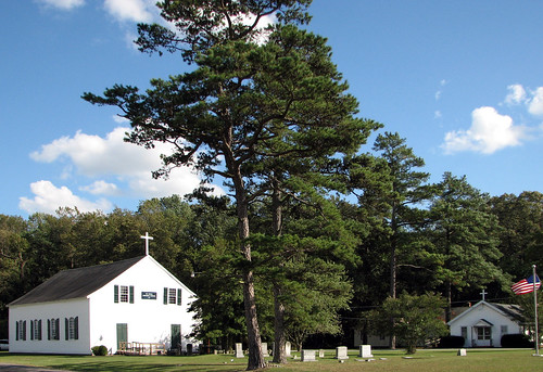
St. Paul's Episcopal Church, "Old Spring Hill"
geotagged sussex mason maryland dixon delaware delmarva masondixon wicomico transpeninsular
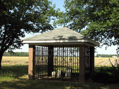
Mason & Dixon's First Stone
vienna geotagged maryland 400 dorchester nanticoke delmarva johnsmith shallop
Checking Out The Shallop
boy topv111 geotagged fishing pond father maryland son easternshore serenity pemberton wicomico
Fishing Lesson
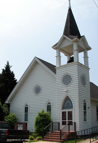
old church geotagged maryland historic methodist delmarva wicomico rockawalkin
Rockawalkin United Methodist Church, 1874
vienna church geotagged maryland easternshore methodist dorchester delmarva
Vienna U.M. Church
vienna geotagged maryland dorchester nanticoke delmarva
Nanticoke Manor, Vienna, Maryland
vienna geotagged indian maryland easternshore 400 dorchester nanticoke delmarva johnsmith
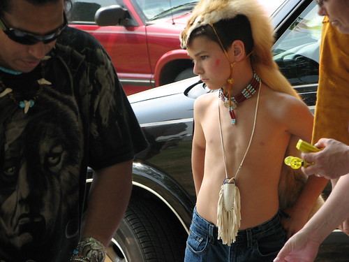
Youth and Age
vienna geotagged maryland easternshore 400 dorchester nanticoke johnsmith
Into His Heritage
vienna geotagged maryland easternshore 400 dorchester nanticoke johnsmith
Into Their Heritage
vienna geotagged maryland easternshore 400 dorchester nanticoke johnsmith
Wildfowl Carver
vienna geotagged maryland easternshore 400 dorchester nanticoke johnsmith
Checking It Out
vienna geotagged maryland easternshore 400 dorchester nanticoke delmarva johnsmith
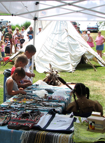
Trade Goods
vienna geotagged bored maryland 400 dorchester nanticoke delmarva johnsmith twtmesh260826
Attention Span Expired
agriculture business carolinecounty md maryland summer transportation aerial airplane chemicalcontaminants cropduster farm farming field food issuesagriculture pesticides pollution toxics unitedstates geocity camera:make=nikon exif:aperture=ƒ63 exif:make=nikon exif:isospeed=800 geo:country=unitedstates exif:model=nikond60 camera:model=nikond60 geostate exif:lens=5502000mmf4056 exif:focallength=200mm
Farmland in Caroline County, Md.
agriculture agriculturegallery business galleries habitats md maryland summer transportation wicomicocounty aerial farm farming field food forests woods unitedstates geocity camera:make=nikon exif:aperture=ƒ63 exif:focallength=55mm exif:isospeed=800 geo:country=unitedstates exif:model=nikond60 camera:model=nikond60 geostate exif:make=nikon exif:lens=5502000mmf4056
Poultry Barns in Wicomico County, Md.
transportation aerial unitedstates exif:lens=350mmf18 geocity camera:make=nikon exif:aperture=ƒ63 exif:make=nikon exif:isospeed=800 exif:model=nikond60 camera:model=nikond60 exif:focallength=35mm geo:country=unitedstates geostate
Nanticoke River Wetlands
habitats wetlands unitedstates geocity camera:make=nikon exif:aperture=ƒ63 exif:focallength=55mm exif:isospeed=800 geo:country=unitedstates exif:model=nikond60 camera:model=nikond60 geostate exif:make=nikon exif:lens=5502000mmf4056
Route 50 crosses the Nanticoke River
habitats nature transportation aerial forests issuesairpollution issuesforests woods unitedstates geocity camera:make=nikon exif:aperture=ƒ63 exif:focallength=55mm exif:isospeed=800 geo:country=unitedstates exif:model=nikond60 camera:model=nikond60 geostate exif:make=nikon exif:lens=5502000mmf4056
Forested Land in Wicomico County, Md.
transportation aerial unitedstates geocity camera:make=nikon exif:aperture=ƒ63 exif:make=nikon exif:isospeed=800 exif:focallength=62mm exif:model=nikond60 camera:model=nikond60 geo:country=unitedstates geostate exif:lens=5502000mmf4056
Quantico Creek in Wicomico County, Md.
allianceforthechesapeakebay chesapeakebay habitats md maryland nature nonprofits people projectcleanstream salisbury science spring trash waterbodies wicomicocounty wicomicoriver cleanup conservation environment litter pollution restoration streams tributary volunteers unitedstates exif:focallength=24mm camera:model=canoneos5dmarkii camera:make=canon geocity geostate exif:model=canoneos5dmarkii exif:isospeed=640 geo:country=unitedstates exif:aperture=ƒ10 exif:lens=ef24105mmf4lisusm exif:make=canon
Project Clean Stream in Wicomico County, Md.
transportation aerial unitedstates geocity camera:make=nikon exif:aperture=ƒ63 exif:make=nikon exif:isospeed=800 geo:country=unitedstates exif:model=nikond60 exif:focallength=68mm geostate camera:model=nikond60 exif:lens=5502000mmf4056
Wicomico River
sunrise
Sunrise Over the Nanticoke 1
photostream
Summer Dayz
photostream
summer dayz
blue reflection md maryland reflected salisbury wicomico wicomicoriver
dawn reflected
habitats rivers transportation aerial tributary unitedstates geocity camera:make=nikon exif:aperture=ƒ63 exif:focallength=55mm exif:isospeed=800 geo:country=unitedstates exif:model=nikond60 camera:model=nikond60 geostate exif:make=nikon exif:lens=5502000mmf4056
Rewastico Creek
md quantico rewasticopond
Rewastico Pond
vienna fall unitedstates maryland bigmillpond 1311037764
Big Mill Pond, Fall
astrophotography
Field at Night
chesapeakebayprogram environment unitedstates exif:isospeed=400 exif:aperture=ƒ80 exif:model=canoneos5dmarkiv camera:make=canon geocity geostate exif:lens=ef2470mmf28lusm geo:country=unitedstates exif:focallength=24mm camera:model=canoneos5dmarkiv exif:make=canon
Blackwater National Wildlife Refuge
trees green forest maryland salisbury pembertonpark
Pemberton Park
monument maryland penn delaware calvert masondixonline crownstone 101311 masondixonmonument
Mason-Dixon Monument - Delaware / Maryland
landscape panoramic easternshore
Barren Creek, Mardela Springs, MD, 2010