Elevation of Lewis Wharf Rd, Vienna, MD, USA

Location: United States > Maryland > Dorchester County > 11, Drawbridge >

Longitude: -75.850332

Latitude: 38.41687

Elevation: 2m / 7feet

Barometric Pressure: 101KPa

Elevation Map:

elevation map of Lewis Wharf Rd, Vienna, MD, USA
Satellite Map:

Satellite map of Lewis Wharf Rd, Vienna, MD, USA
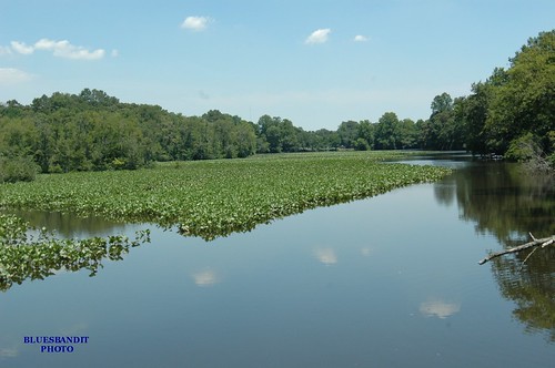
Related Photos:

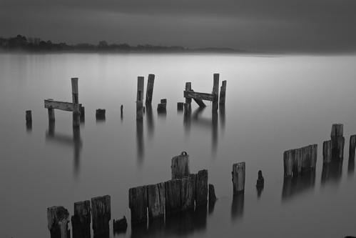
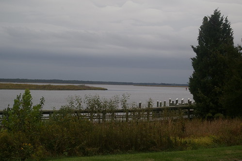
longexposure mist storm water misty fog river bay pier md decay foggy maryland stormy easternshore chesapeakebay nanticoke delmarva easternshoreofmaryland nanticokeriver decayedpier coveroad
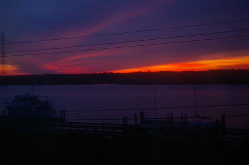
Storm and Mist
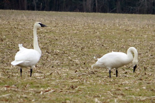
bird cygnusbuccinator
Trumpeter Swan
md tricoloredheron wicomicocounty 20120901
2012-09-01 Tricolored Heron 7812
morning blue mist bird birds misty fog river bay early geese peace wildlife peaceful canadian estuary watershed canadiangeese chesapeake chesapeakebay nanticoke earlymorningmist nanticokeriver
'Ats a lot of blue, eh?
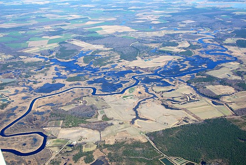
river unitedstates things aerial farmland transportation watershed wetlands geography issues wetland nanticoke nanticokeriver geocity geo:country=unitedstates exif:isospeed=800 camera:make=nikoncorporation camera:model=nikond60 exif:make=nikoncorporation exif:model=nikond60 geostate exif:lens=350mmf18 exif:aperture=ƒ63 exif:focallength=35mm
Nanticoke River Wetlands
river unitedstates things aerial transportation watershed streams geography wetland nanticoke nanticokeriver geocity geo:country=unitedstates exif:isospeed=800 camera:make=nikoncorporation camera:model=nikond60 exif:make=nikoncorporation exif:model=nikond60 geostate exif:lens=350mmf18 exif:aperture=ƒ63 exif:focallength=35mm
Nanticoke River Wetlands
sunrise
Sunrise Over the Nanticoke 1
unitedstates geography geocity geo:country=unitedstates exif:isospeed=800 camera:make=nikoncorporation camera:model=nikond60 exif:make=nikoncorporation exif:model=nikond60 geostate exif:lens=350mmf18 exif:aperture=ƒ63 exif:focallength=35mm
Nanticoke River Wetlands
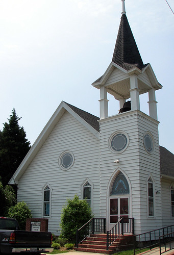
old church geotagged springhill maryland easternshore episcopal delmarva
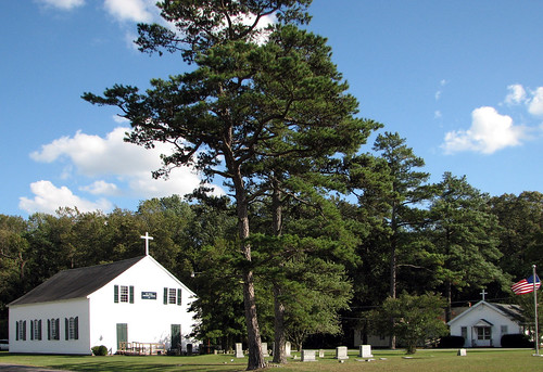
St. Paul's Episcopal Church, "Old Spring Hill"
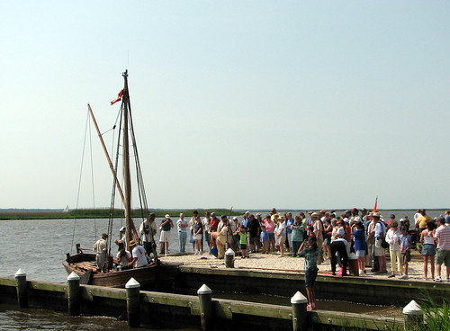
vienna geotagged sailing maryland easternshore 400 dorchester nanticoke delmarva johnsmith skipjack anawesomeshot
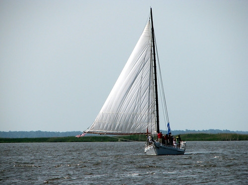
The Skipjack "Nathan of Dorchester"
vienna geotagged indian maryland easternshore 400 dorchester nanticoke delmarva johnsmith
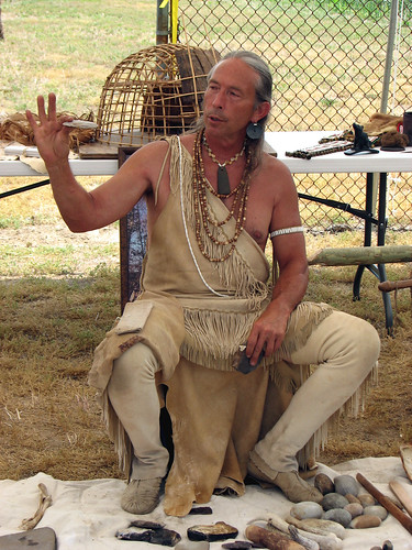
How To Make A Flint Knife Edge
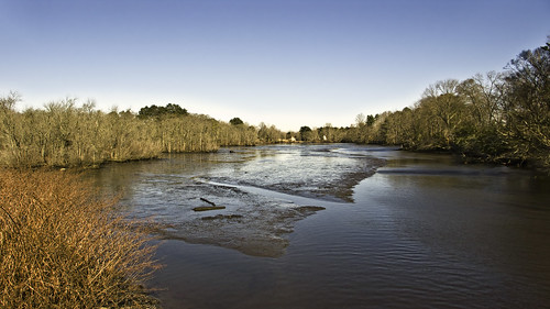
View Down the Stairs
vienna geotagged maryland 400 dorchester nanticoke delmarva johnsmith shallop
Checking Out The Shallop
ocean beach geotagged march flying maryland boardwalk 2008 chesapeakebay oceancitymd piperwarrior koxb n3002m 100hamburger geo:lat=38408675 geo:lon=75953979 atlantinc
Bird's Eye View
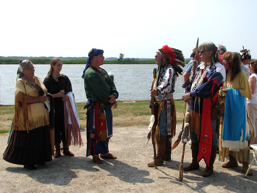
vienna geotagged indian maryland 400 dorchester nanticoke delmarva johnsmith
The People Who Greeted Captain John Smith
vienna geotagged indian maryland 400 dorchester nanticoke delmarva johnsmith
The People Who Greeted Captain John Smith
vienna church geotagged maryland easternshore methodist dorchester delmarva
Vienna U.M. Church
river nanticoke
View Across the Nanticoke
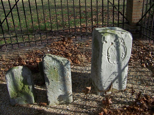
corner maryland easternshore delaware cornerstone masondixon
Corner Stone
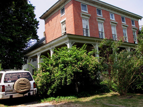
vienna geotagged maryland dorchester nanticoke delmarva
Nanticoke Manor, Vienna, Maryland
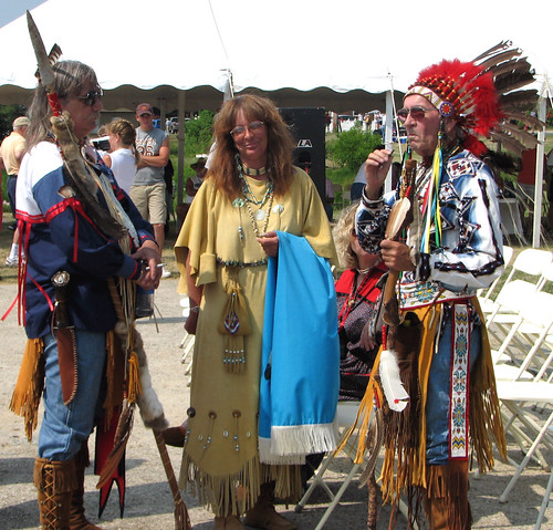
vienna geotagged maryland easternshore 400 dorchester nanticoke johnsmith
Into His Heritage
sunrise
Sunrise Over the Nanticoke 2
photos email
Morning Bike Ride
photostream
Summer Dayz
square squareformat poprocket iphoneography instagramapp uploaded:by=instagram foursquare:venue=4dcab28fd22da18f4e698011
#sunset
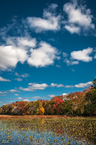
vienna fall unitedstates maryland bigmillpond 1311037764
Big Mill Pond, Fall
photostream
chesapeake bay beach
photostream
summer dayz
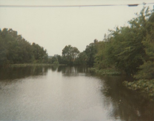
maryland dorchestercounty kodakteleinstamatic608
Transquaking River
vienna blue autumn red tree nature grass yellow outdoors boat canal dock scenery colorful unitedstates bright lifestyle maryland bluesky nobody hobby easternshore foliage clear photograph transportation marsh sedge delmarva cedartree watersurface bulwark pleasureboat wildlifehabitat colorimage carolinecounty reflectioninwater choptank cabincruiser horizonoverland horizontalcomposition choptankmarina novembermarina fallcedar
Choptank River Dock
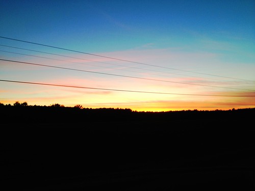
sunset water creek bay boat maryland chesapeake easton
Tonights sunset was awesome! Capturing it from a moving car on a cell hardly does it justice.
photos email
Morning Bike Ride
photos email
20111102 Ride from Vienna to Elliot Island
nature reflections landscapes d70 bluesbandit1750 barrenscreek
6-24-07 059
summer toxic field airplane corn cornfield seasons unitedstates farm places things aerial collections transportation crops geography agriculture contaminants cropduster toxics pesticides geocity geo:country=unitedstates exif:isospeed=800 camera:make=nikoncorporation camera:model=nikond60 businesscommerce exif:make=nikoncorporation exif:model=nikond60 geostate exif:lens=5502000mmf4056 exif:focallength=200mm exif:aperture=ƒ63 issuesagriculture issuespage
Farmland in Caroline County, Md.
nature landscapes d70 bluesbandit1750 barrenscreek
6-24-07 070
nature reflections landscapes d70 bluesbandit1750 barrenscreek
6-24-07 056
monument maryland penn delaware calvert masondixonline crownstone 101311 masondixonmonument
Mason-Dixon Monument - Delaware / Maryland
landscape easternshore
Barren Creek, Mardela Springs, MD, 2009