Elevation of Norris Twilley Rd, Delmar, MD, USA
Location: United States > Maryland > Wicomico County > 1, Barren Creek >

Longitude: -75.704732

Latitude: 38.479211

Elevation: 11m / 36feet

Barometric Pressure: 101KPa

Elevation Map:

elevation map of Norris Twilley Rd, Delmar, MD, USA
Satellite Map:

Satellite map of Norris Twilley Rd, Delmar, MD, USA
Related Photos:

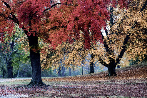
Park Foliage
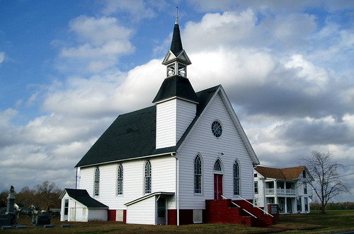
15fav usa church topv111 geotagged interestingness maryland explore mostinteresting methodist delmarva anawesomeshot
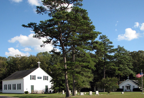
Eldorado U.M. Church
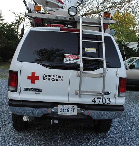
ford training satellite volunteers maryland workshop mast antenna redcross satellitedish radios fordtruck disasterrelief emergencycommunications americanredcross fordexcursion wicomico salisburymd communicationstruck emergencycommunicationsresponsevehicle disastervolunteers redcrossmaryland redcrosslowershore redcrossmd ecrv4703 redcrossecrv redcrosssalisbury
Emergency Communications Response Vehicle (ECRV) 4703
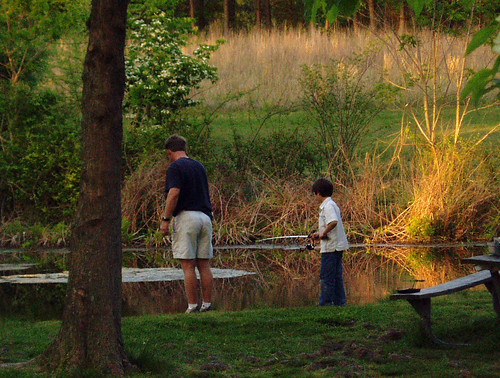
boy topv111 geotagged fishing pond father maryland son easternshore serenity pemberton wicomico
Fishing Lesson
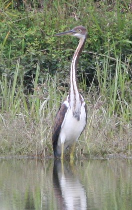
md tricoloredheron wicomicocounty 20120901
2012-09-01 Tricolored Heron 7812
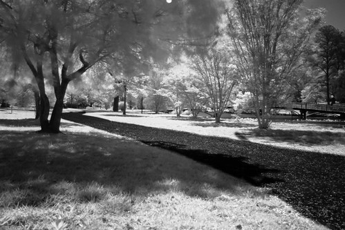
city longexposure bridge blackandwhite white black reflection water canon river md downtown camden maryland easternshore reflected infrared salisbury chesapeake eastcoast chesapeakebay delmarva easternshoreofmaryland wicomico wicomicoriver downtownsalisbury canon50d shoredelmarvaeastern salisburycitypark
Park IR
longexposure bridge blackandwhite white black monochrome canon md downtown path camden maryland easternshore infrared eastern pathway eastcoast easternshoreofmaryland wicomico wicomicoriver downtownsalisbury canon50d salisburycitypark
The Path To The Infrarealm
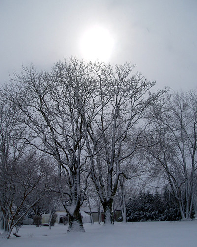
winter snow tree geotagged maryland delmarva
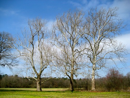
Only God can make a tree
sunrise
Sunrise Over the Nanticoke 1
habitats nanticokeriver nature transportation waterbodies wetlands aerial streams tributary unitedstates exif:lens=350mmf18 geocity camera:make=nikon exif:aperture=ƒ63 exif:make=nikon exif:isospeed=800 exif:model=nikond60 camera:model=nikond60 exif:focallength=35mm geo:country=unitedstates geostate
Nanticoke River Wetlands
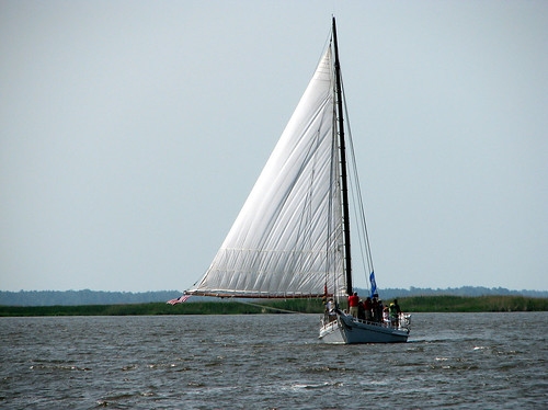
vienna geotagged sailing maryland easternshore 400 dorchester nanticoke delmarva johnsmith skipjack anawesomeshot
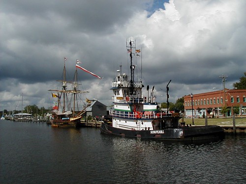
The Skipjack "Nathan of Dorchester"
city usa geotagged unitedstates maryland aerial salisbury nevinsaddition geo:lat=3836373353 geo:lon=7560138702
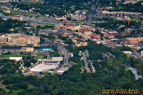
Salisbury, MD
geotagged interestingness camden maryland explore salisbury delmarva
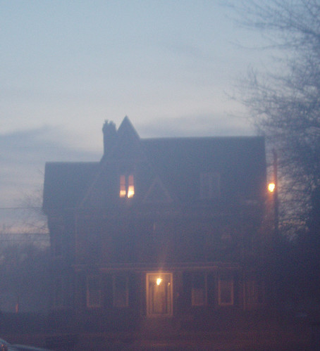
Foggy dawn, Camden Ave., Salisbury
river nanticoke
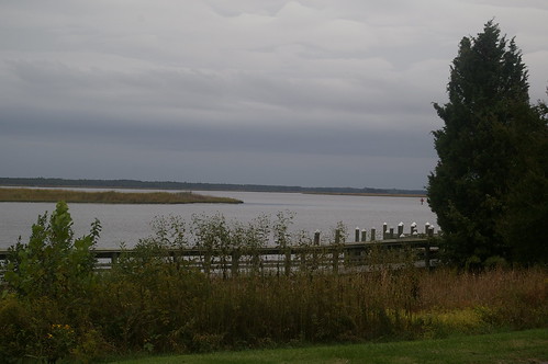
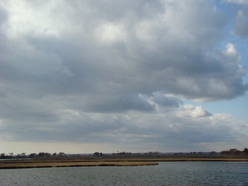
View Across the Nanticoke
geotagged cityhall maryland salisbury delmarva
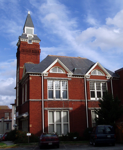
Old City Hall
abstract geotagged albaluminis maryland minimalism delmarva
Natural abstract 1
winter snow geotagged maryland salisbury firstsnow delmarva 6dec2005
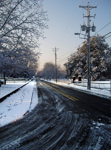
Camden Avenue, Salisbury, Maryland
tahoe chevrolet statetrooper delawarestatepolice dsp policecar police
Delaware State Police Tahoe
port geotagged maryland scene salisbury delmarva
Old and New
old church geotagged springhill maryland easternshore episcopal delmarva
St. Paul's Episcopal Church, "Old Spring Hill"
winter snow geotagged maryland salisbury firstsnow delmarva 6dec2005 twtmesh140825
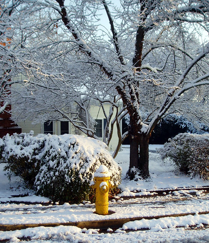
Faithful sentinel
greatblueheron heron wildlife bird pond leonardsmillpond delmar md maryland marylandwildlife mist misty earlymorningmist sunrise sillhouette silhouettes trees water kayak kayaking kayakmaryland
Misty Morning Heron
sunset water creek bay boat maryland chesapeake easton
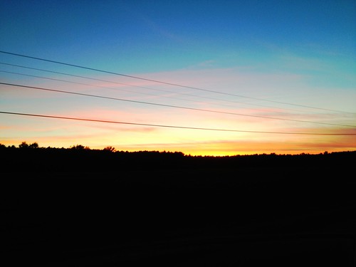
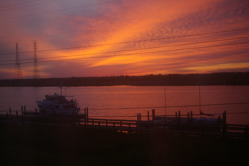
Tonights sunset was awesome! Capturing it from a moving car on a cell hardly does it justice.
habitats rivers transportation aerial tributary unitedstates geocity camera:make=nikon exif:aperture=ƒ63 exif:focallength=55mm exif:isospeed=800 geo:country=unitedstates exif:model=nikond60 camera:model=nikond60 geostate exif:make=nikon exif:lens=5502000mmf4056
Rewastico Creek
chesapeakebayprogram conservation environment partnership restoration science unitedstates exif:model=iphone7 camera:model=iphone7 exif:focallength=399mm camera:make=apple exif:isospeed=20 exif:aperture=ƒ18 geo:country=unitedstates exif:lens=iphone7backcamera399mmf18 geostate geocity exif:make=apple
Phillips Landing Park in Laurel, Del.
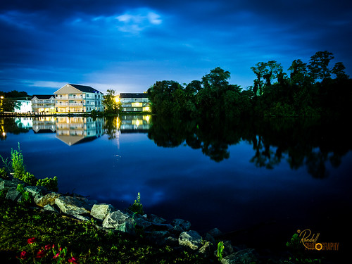
flowers blue trees houses sky usa house lake plant flower building tree green nature water beautiful grass night landscape us amazing nice interesting md pretty peace unitedstates dusk awesome maryland olympus calm salisbury waterscape epl1
Home and Nature
That Maple Tree
agriculture agriculturegallery business galleries habitats md maryland summer transportation wicomicocounty aerial farm farming field food forests woods unitedstates geocity camera:make=nikon exif:aperture=ƒ63 exif:focallength=55mm exif:isospeed=800 geo:country=unitedstates exif:model=nikond60 camera:model=nikond60 geostate exif:make=nikon exif:lens=5502000mmf4056
Poultry Barns in Wicomico County, Md.
dogs blog
colorado horses
vienna fall unitedstates maryland bigmillpond 1311037764
Big Mill Pond, Fall
dogs blog
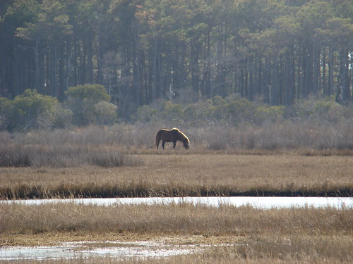
Assateague Horse and Landscape
agriculture business habitats nanticokeriver nature rivers transportation waterbodies wetlands aerial farm farming farmland food tributary unitedstates exif:lens=350mmf18 geocity camera:make=nikon exif:aperture=ƒ63 exif:make=nikon exif:isospeed=800 exif:model=nikond60 camera:model=nikond60 exif:focallength=35mm geo:country=unitedstates geostate
Nanticoke River Wetlands
habitats wetlands unitedstates geocity camera:make=nikon exif:aperture=ƒ63 exif:focallength=55mm exif:isospeed=800 geo:country=unitedstates exif:model=nikond60 camera:model=nikond60 geostate exif:make=nikon exif:lens=5502000mmf4056
Route 50 crosses the Nanticoke River
habitats nature transportation aerial forests issuesairpollution issuesforests woods unitedstates geocity camera:make=nikon exif:aperture=ƒ63 exif:focallength=55mm exif:isospeed=800 geo:country=unitedstates exif:model=nikond60 camera:model=nikond60 geostate exif:make=nikon exif:lens=5502000mmf4056
Forested Land in Wicomico County, Md.
clouds sunrise river day cloudy nanticoke
Sunrise Over the Nanticoke 5
trees nature
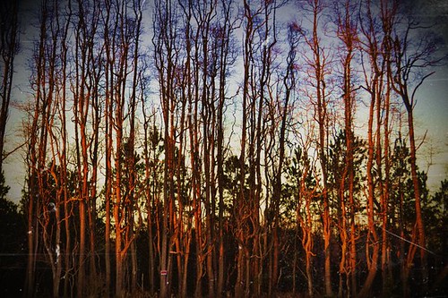
Stand of Trees
dogs blog
Assateague Landscape
dogs blog
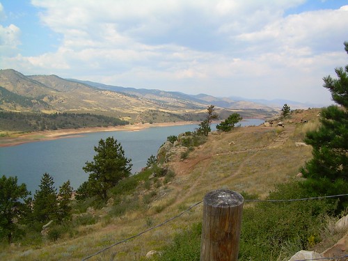
colorado scenery 2
Soda Can Baseball: Round 2
agriculture business carolinecounty md maryland summer transportation aerial airplane chemicalcontaminants cropduster farm farming field food issuesagriculture pesticides pollution toxics unitedstates geocity camera:make=nikon exif:aperture=ƒ63 exif:make=nikon exif:isospeed=800 geo:country=unitedstates exif:model=nikond60 camera:model=nikond60 geostate exif:lens=5502000mmf4056 exif:focallength=200mm
Farmland in Caroline County, Md.
geocaching geocache delaware gps treasurehunt nanticokeparkwildlifearea tussockpond
Sycamore trees near Nanticoke River in southwestern Delaware