Elevation of Norfolk Dr, Delmar, MD, USA
Location: United States > Maryland > Wicomico County > 1, Barren Creek >
Longitude: -75.700298
Latitude: 38.487027
Elevation: 12m / 39feet
Barometric Pressure: 101KPa
Elevation Map:
Satellite Map:
Related Photos:
Sunrise Over the Nanticoke 1
The HO Layout

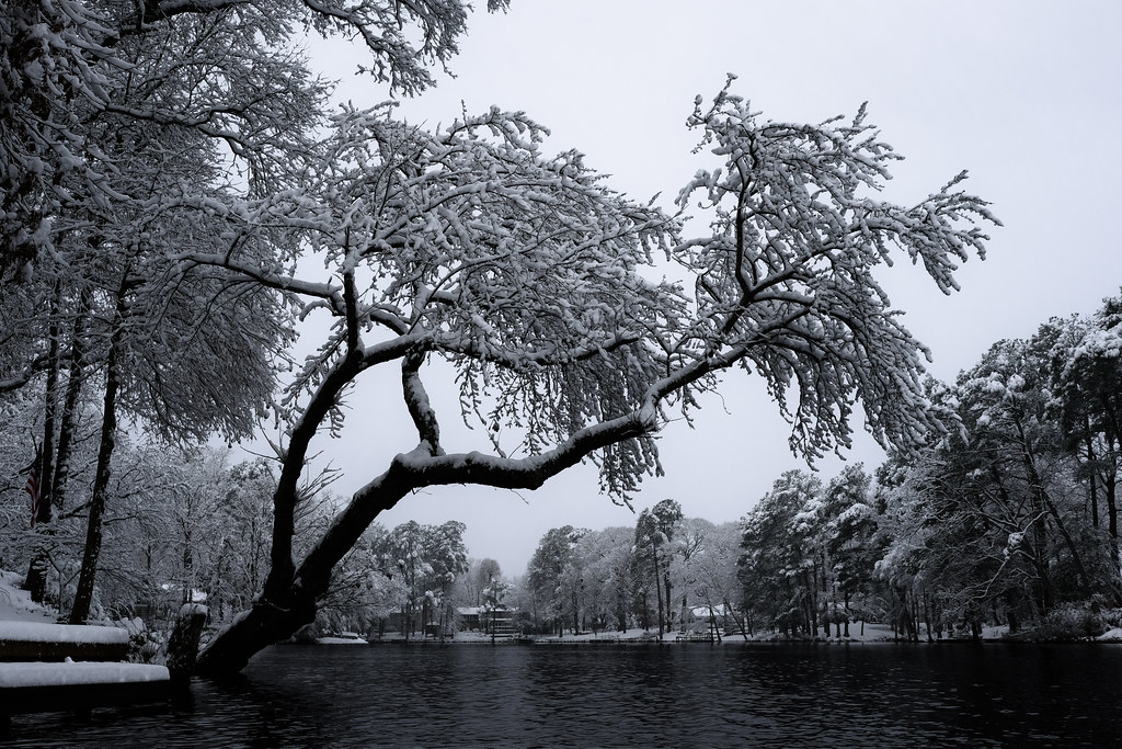
Only God can make a tree
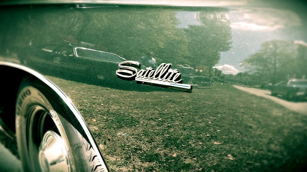
Plymouth Satellite former Ocean View (DE) police car
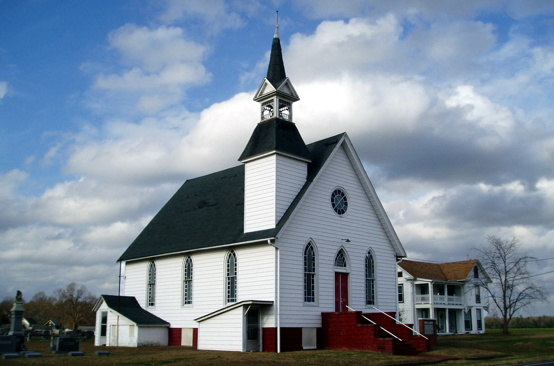
Eldorado U.M. Church

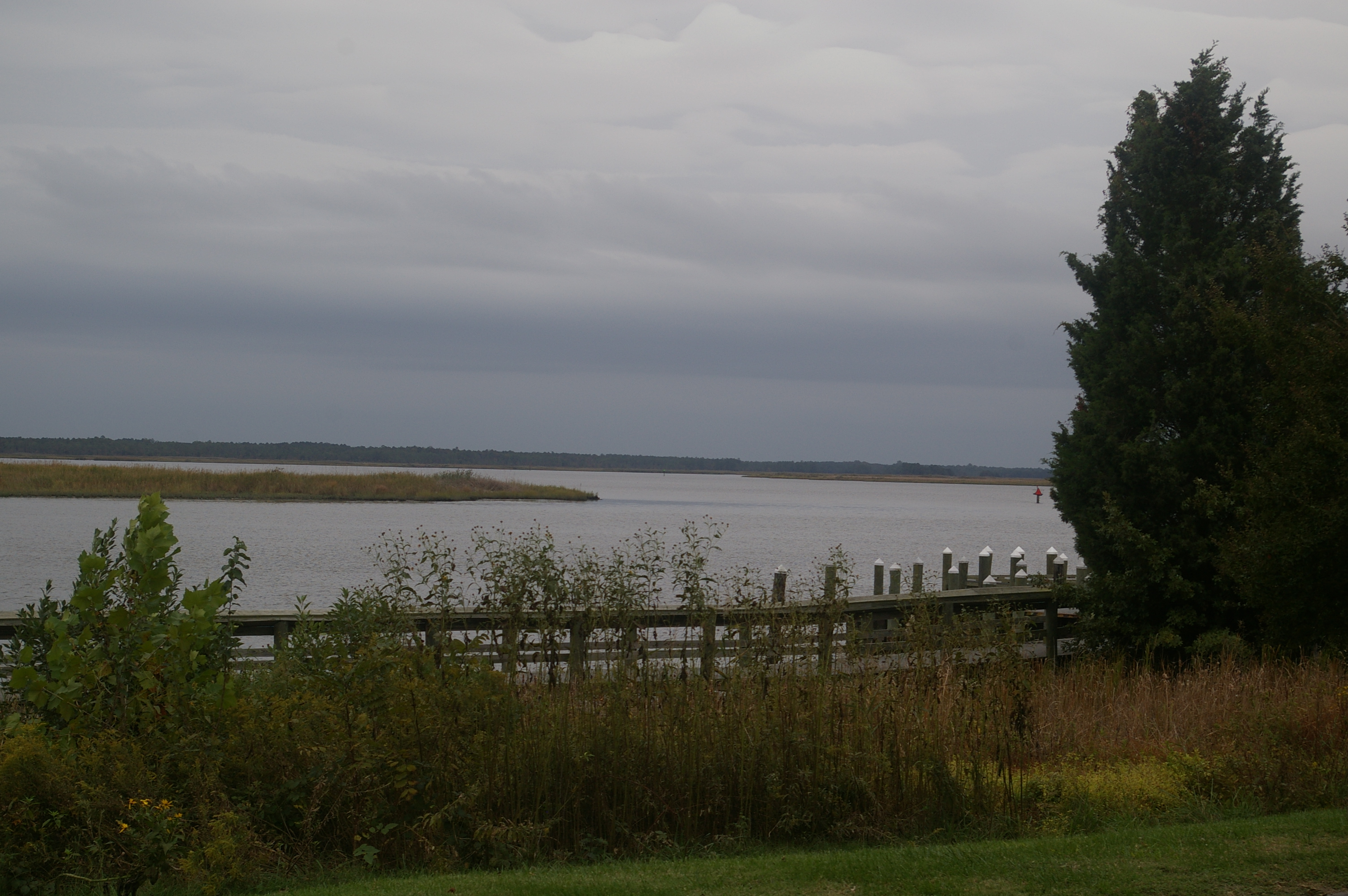
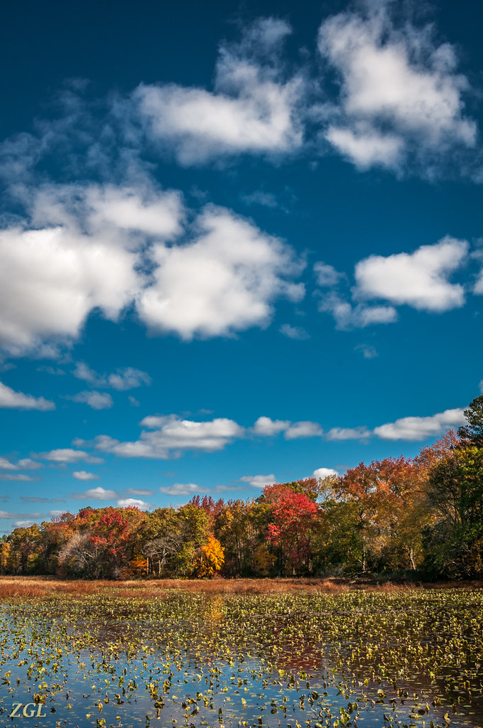
Nanticoke River Wetlands
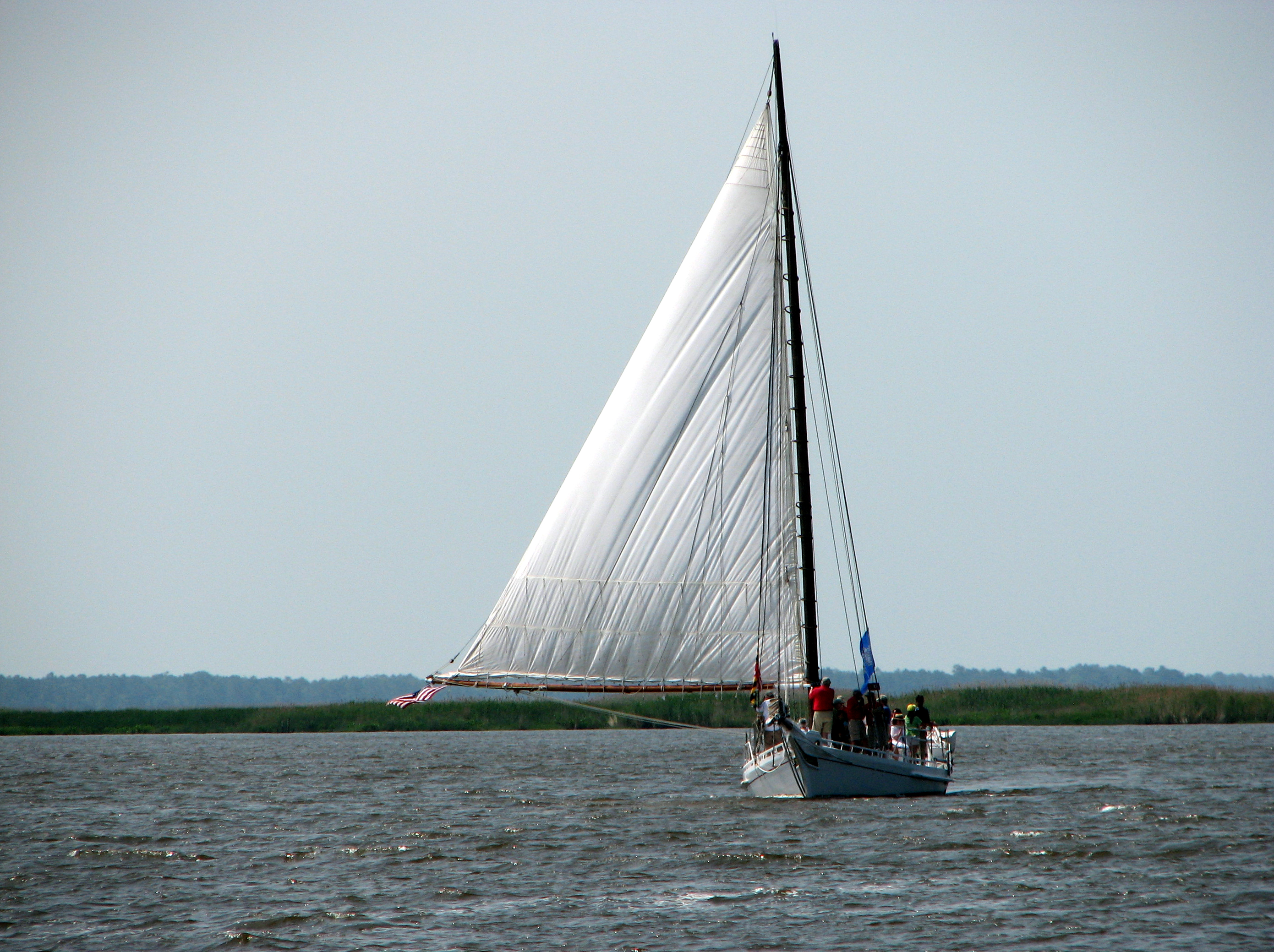
The Skipjack "Nathan of Dorchester"

Nanticoke River Wetlands
View Across the Nanticoke

Mrs dinobalz with Broadcreek Hundred Cache
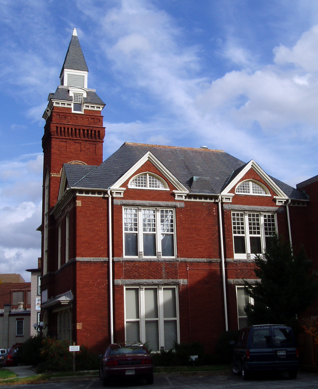
Old City Hall

Nanticoke River Wetlands
Old and New

Delaware State Police Tahoe
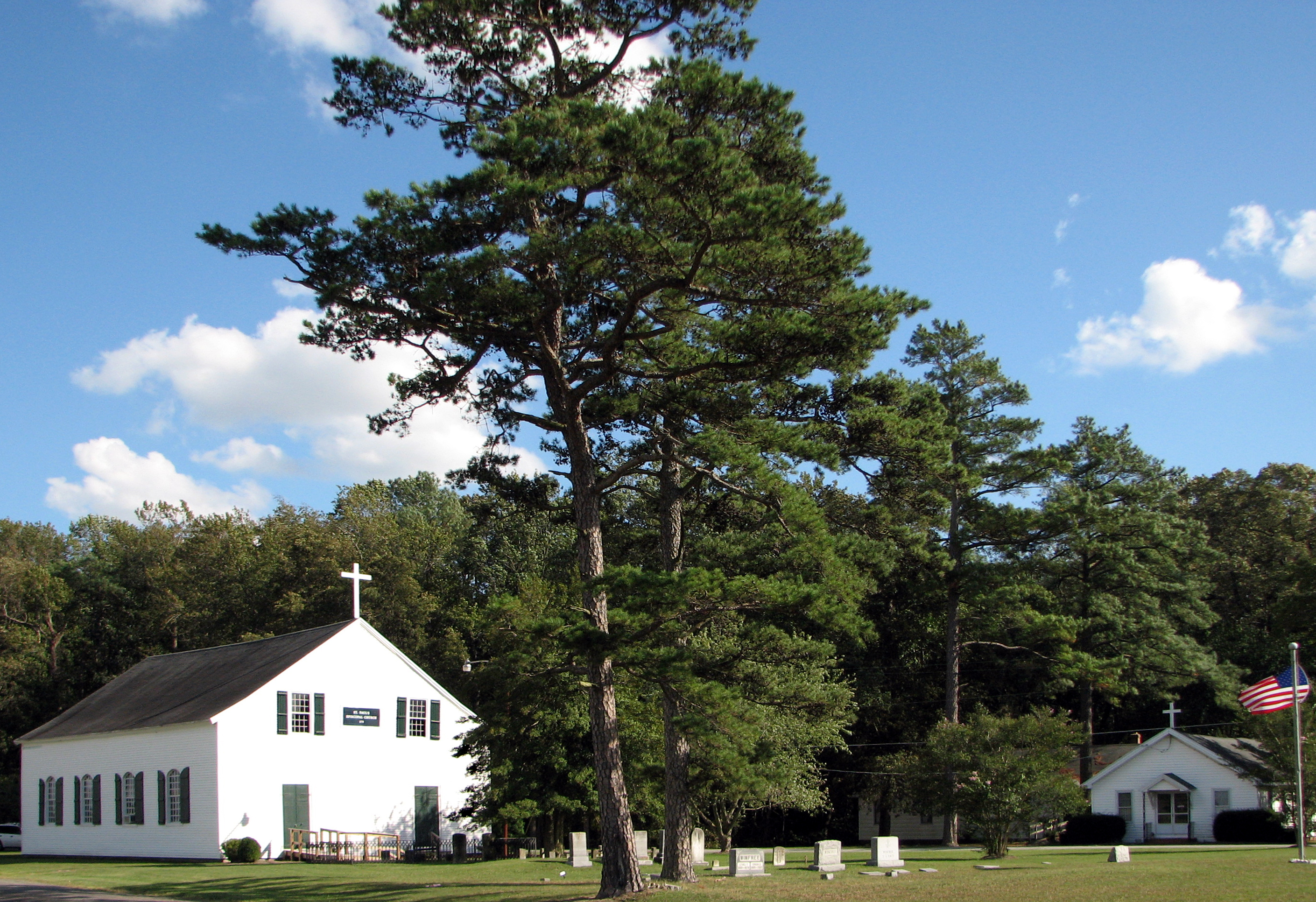
St. Paul's Episcopal Church, "Old Spring Hill"

Faith Community Church, Salisbury, Maryland

How To Make A Flint Knife Edge
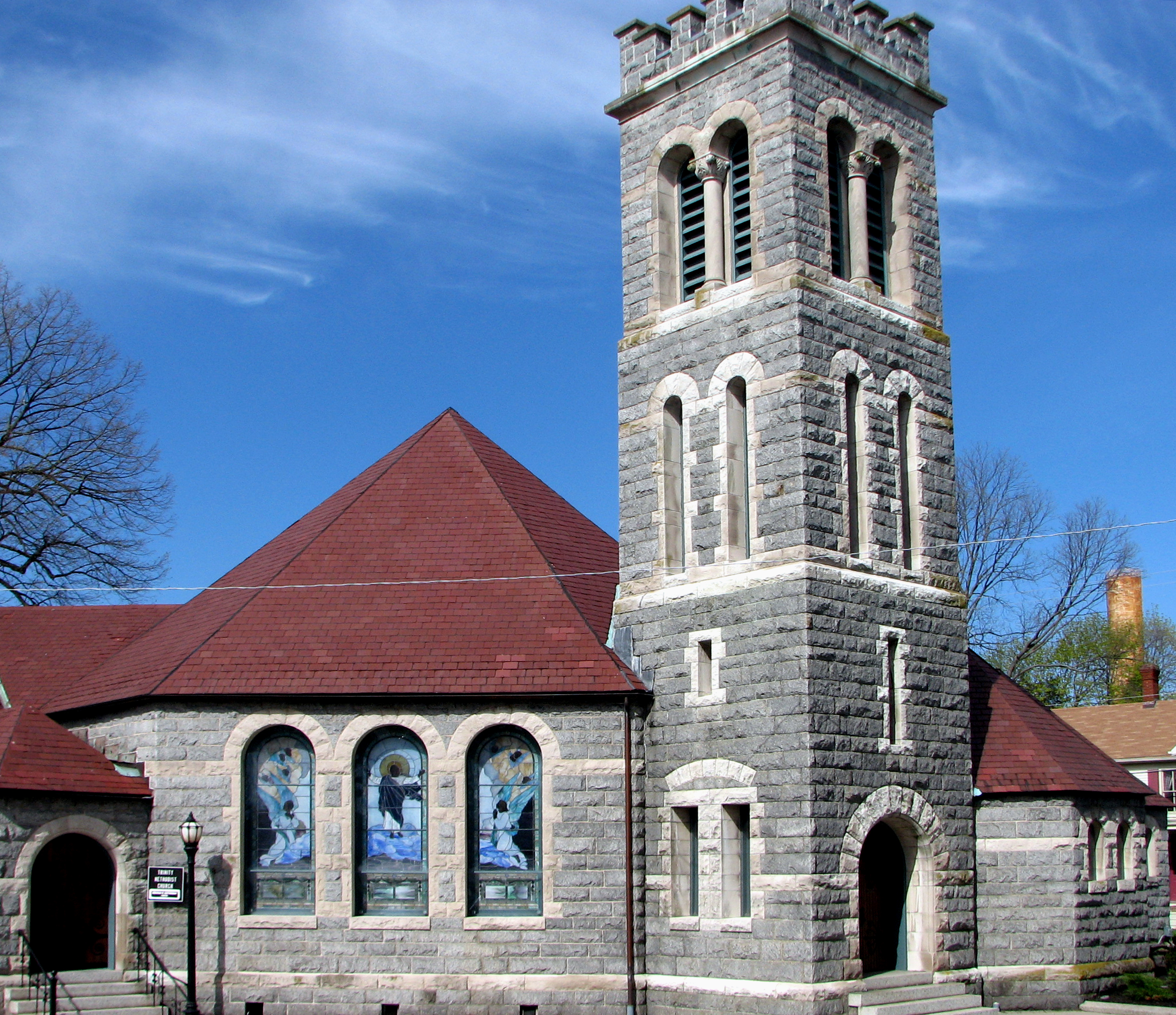
Trinity U.M. Church, Salisbury, Maryland
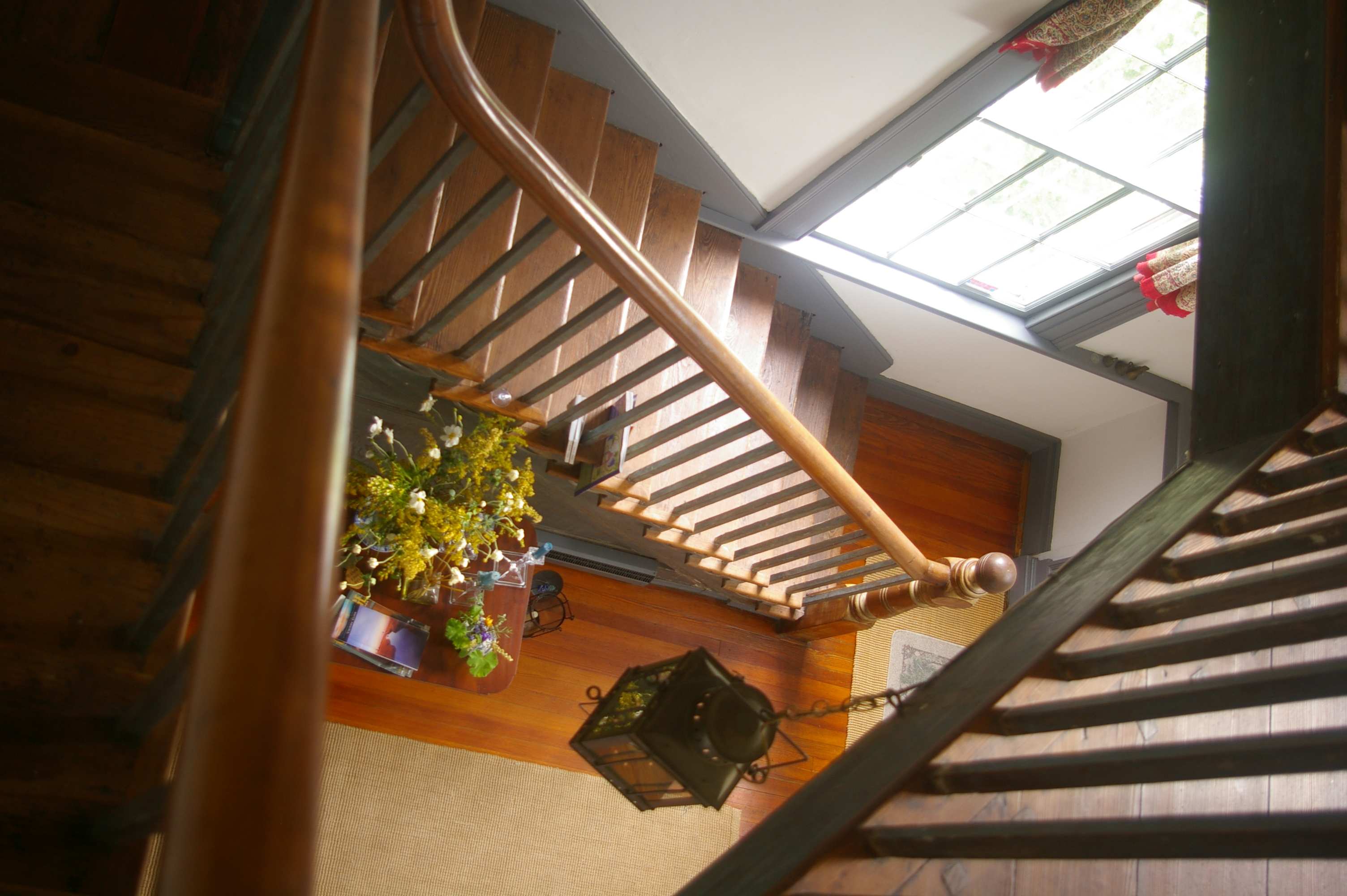
View Down the Stairs
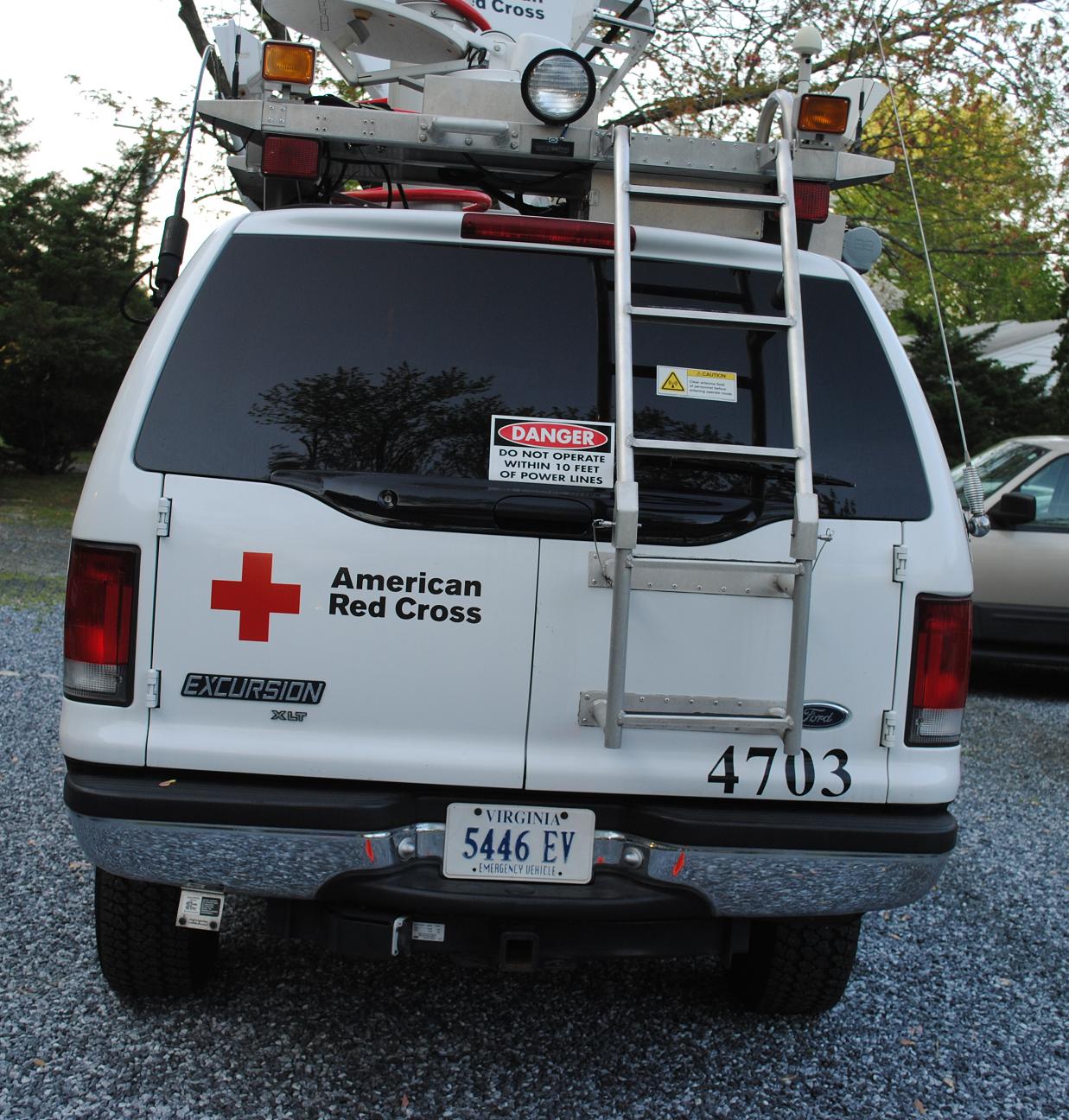
Emergency Communications Response Vehicle (ECRV) 4703

Messages from Pungoteague

Misty Morning Heron

Country Road

Forested Land in Wicomico County, Md.

Route 50 crosses the Nanticoke River

Nature Walk

Barren Creek, Mardela Springs, MD, 2010

Home and Nature
That Maple Tree
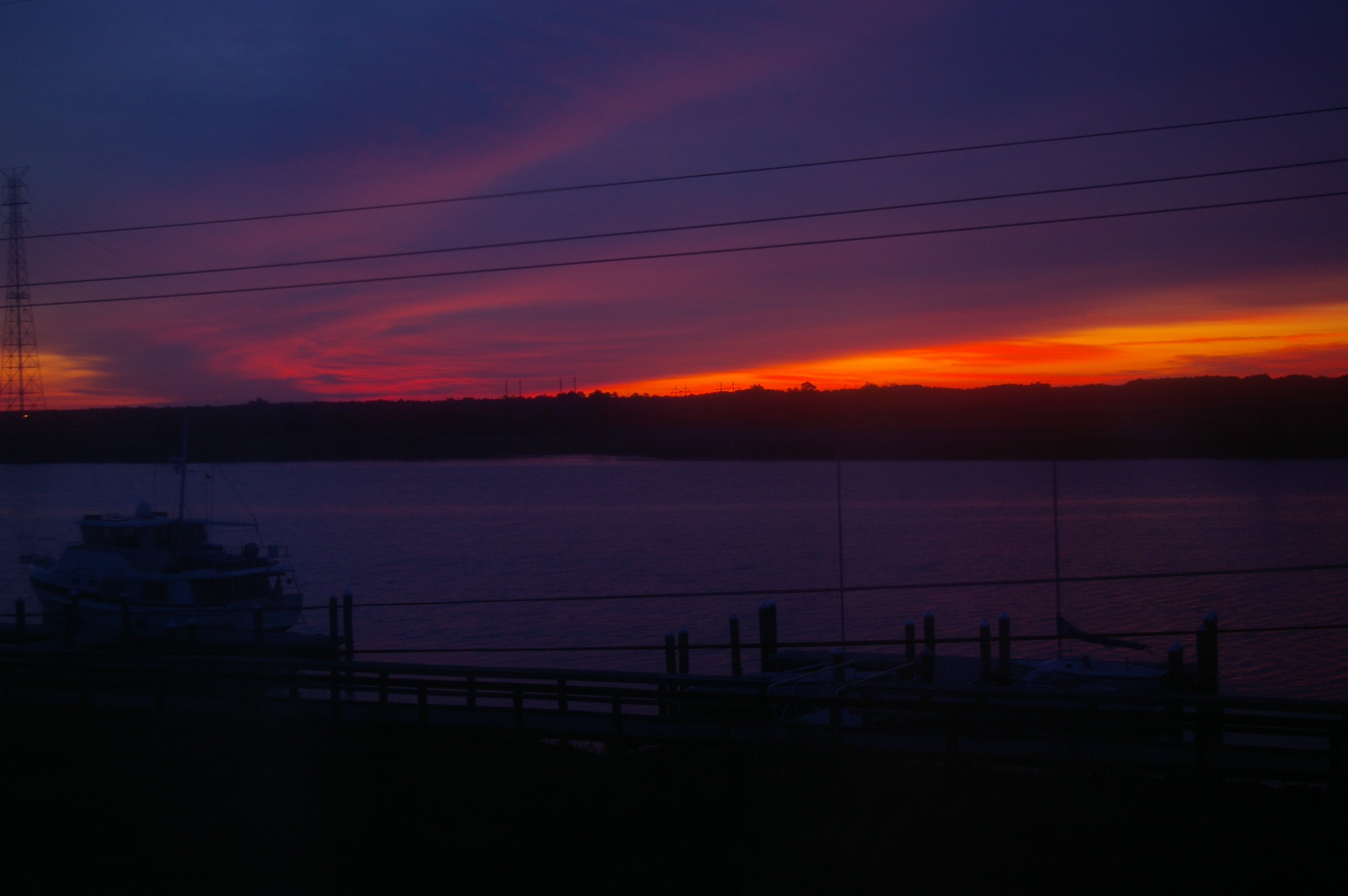
Sunrise Over the Nanticoke 2

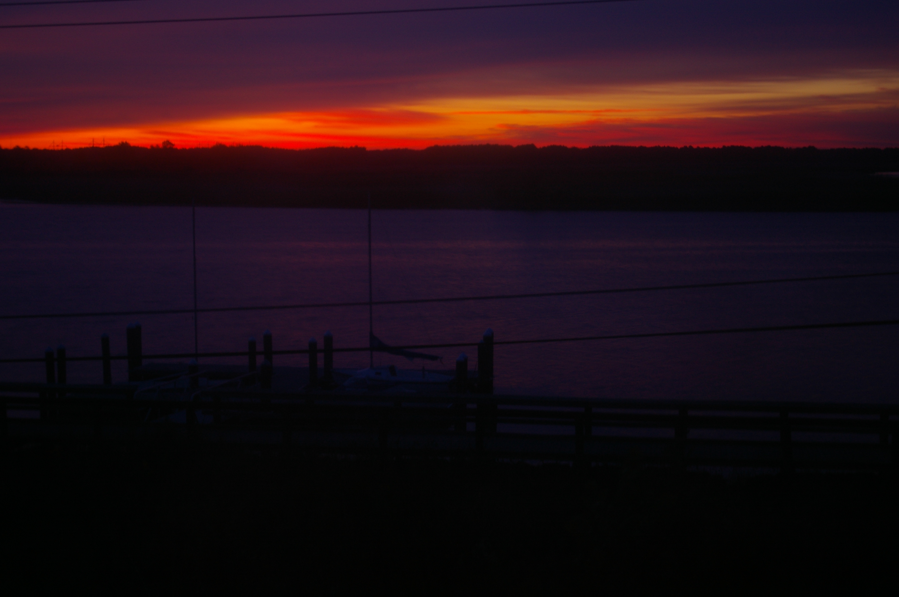
Tonights sunset was awesome! Capturing it from a moving car on a cell hardly does it justice.

Poultry Barns in Wicomico County, Md.

Quantico Creek in Wicomico County, Md.
Big Mill Pond, Fall

Rewastico Creek
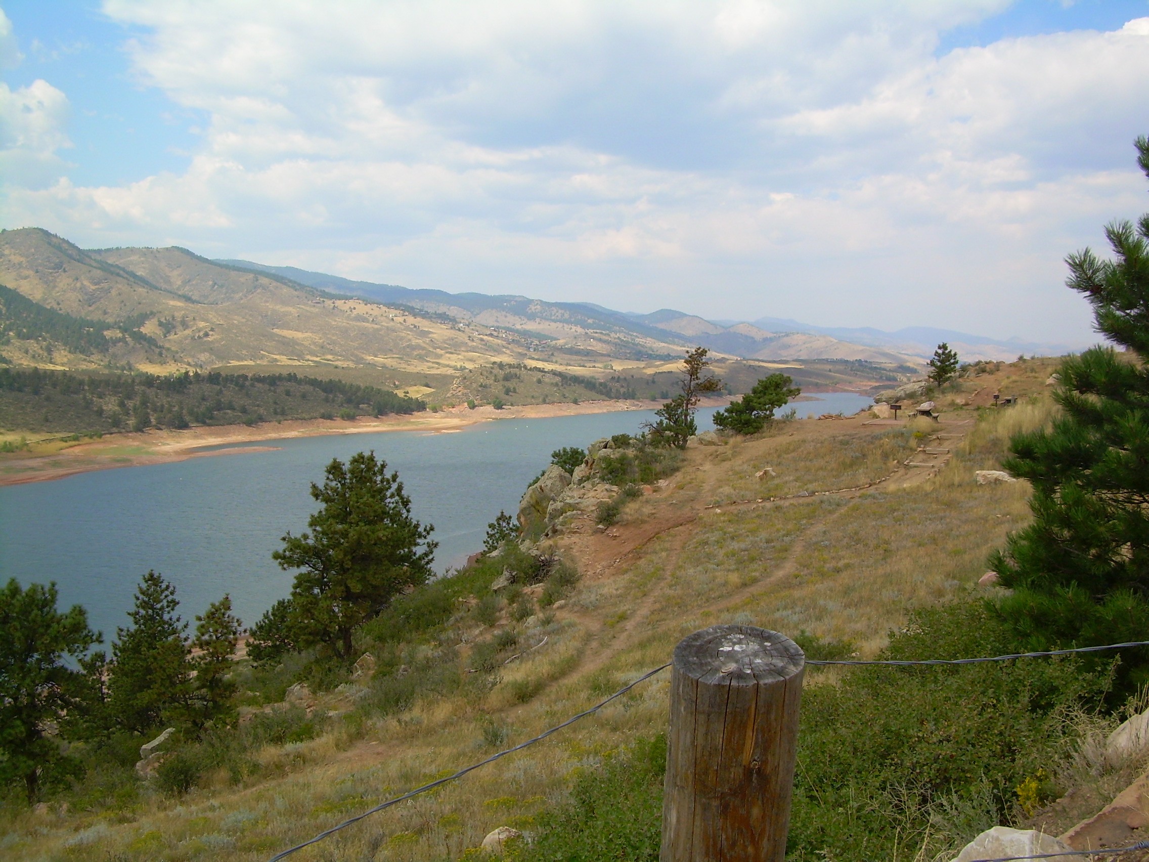
colorado scenery 2

Soda Can Baseball: Round 2

Farmland in Caroline County, Md.
Topographic Map of Norfolk Dr, Delmar, MD, USA
Find elevation by address:

Places near Norfolk Dr, Delmar, MD, USA:
Downs Way, Delmar, MD, USA
10350 Norris Twilley Rd
Delmar Road
Olde Florist Ln, Hebron, MD, USA
6156 Rd 508
6475 Hummingbird Ln
6475 Hummingbird Ln
Hebron
Main St, Mardela Springs, MD, USA
Hebron
7577 Levin Dashiell Rd
White Lowe Road
Wicomico County
Athol Rd, Hebron, MD, USA
1, Barren Creek
11, Delmar
6760 Fire Tower Rd
Crooked Oak Ln, Hebron, MD, USA
Riawakin Dr, Salisbury, MD, USA
Quantico
Recent Searches:
- Elevation of Corso Fratelli Cairoli, 35, Macerata MC, Italy
- Elevation of Tallevast Rd, Sarasota, FL, USA
- Elevation of 4th St E, Sonoma, CA, USA
- Elevation of Black Hollow Rd, Pennsdale, PA, USA
- Elevation of Oakland Ave, Williamsport, PA, USA
- Elevation of Pedrógão Grande, Portugal
- Elevation of Klee Dr, Martinsburg, WV, USA
- Elevation of Via Roma, Pieranica CR, Italy
- Elevation of Tavkvetili Mountain, Georgia
- Elevation of Hartfords Bluff Cir, Mt Pleasant, SC, USA