Elevation of Simmons Rd, Prescott, WA, USA
Location: United States > Washington > Walla Walla County > Prescott >
Longitude: -118.62254
Latitude: 46.433999
Elevation: 289m / 948feet
Barometric Pressure: 98KPa
Elevation Map:
Satellite Map:
Related Photos:
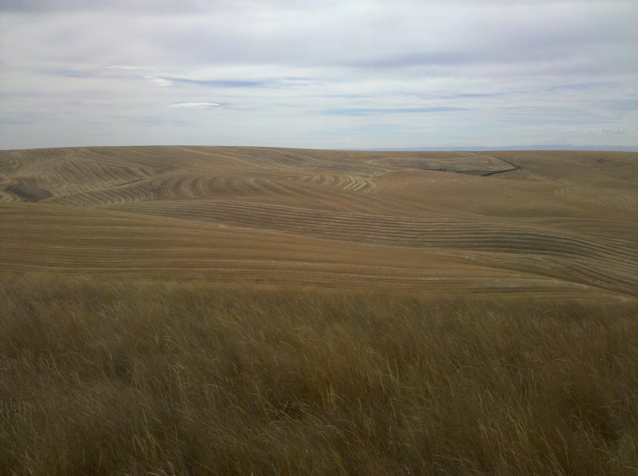
The view from Cell Phone Hill
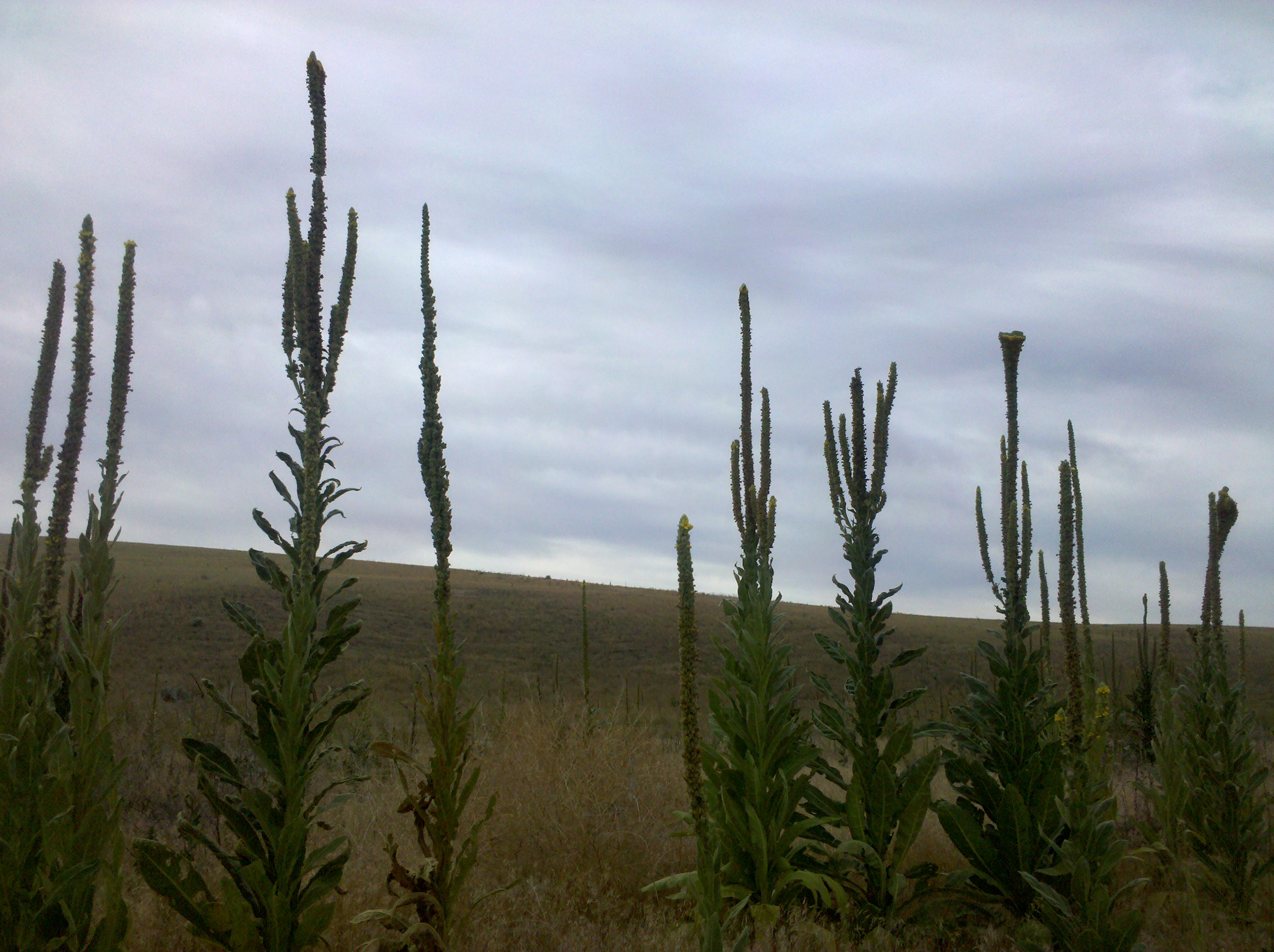
Still plenty of these guys around

"a 7,000 acre island of juniper and 100 foot sand dunes..."
Columbia Plateau

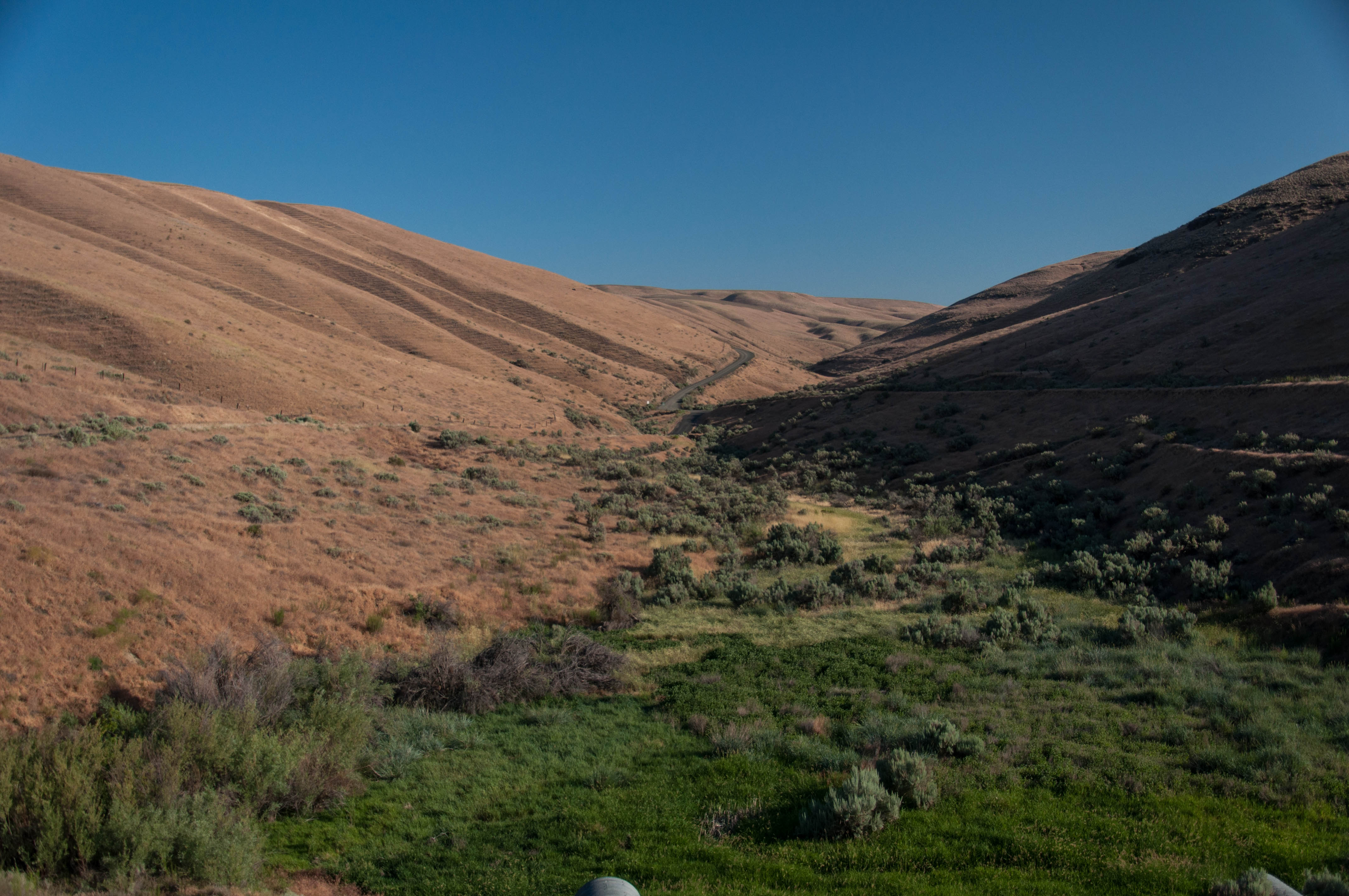
Truck Trail

Road Through The Desert
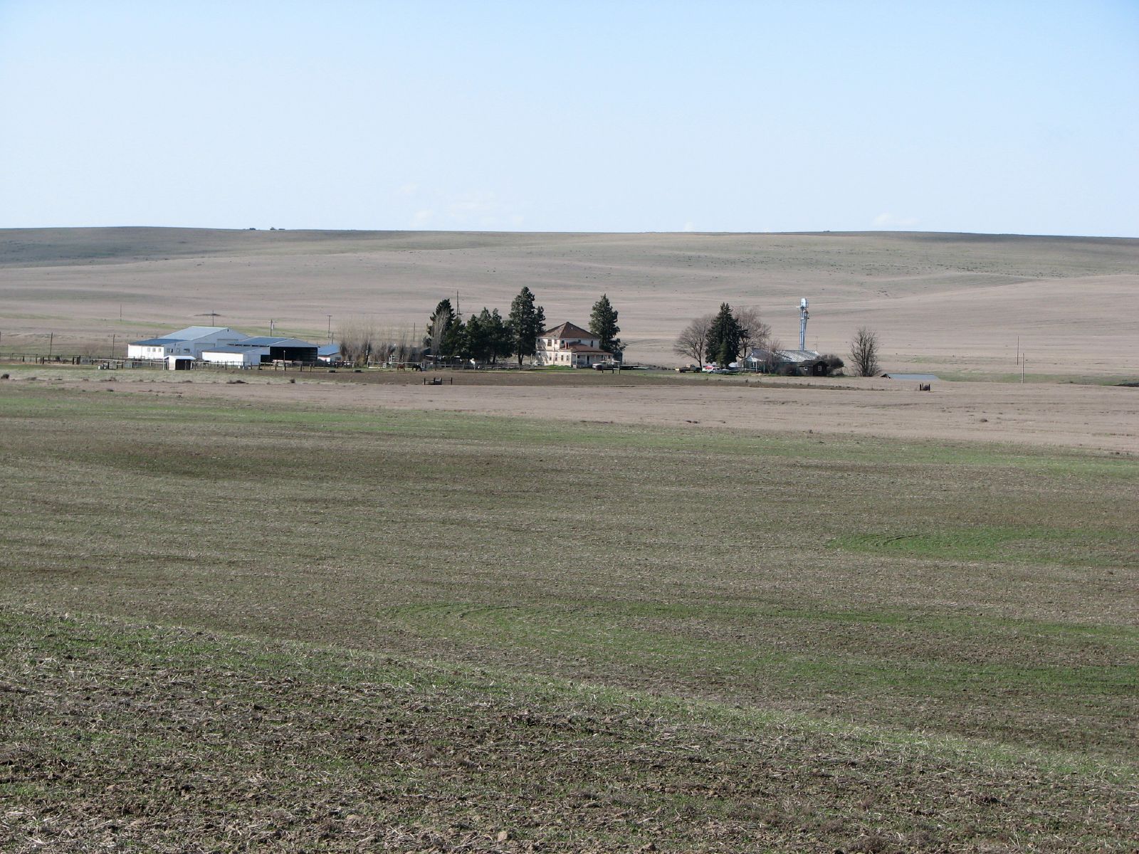
Hoffman Farmstead
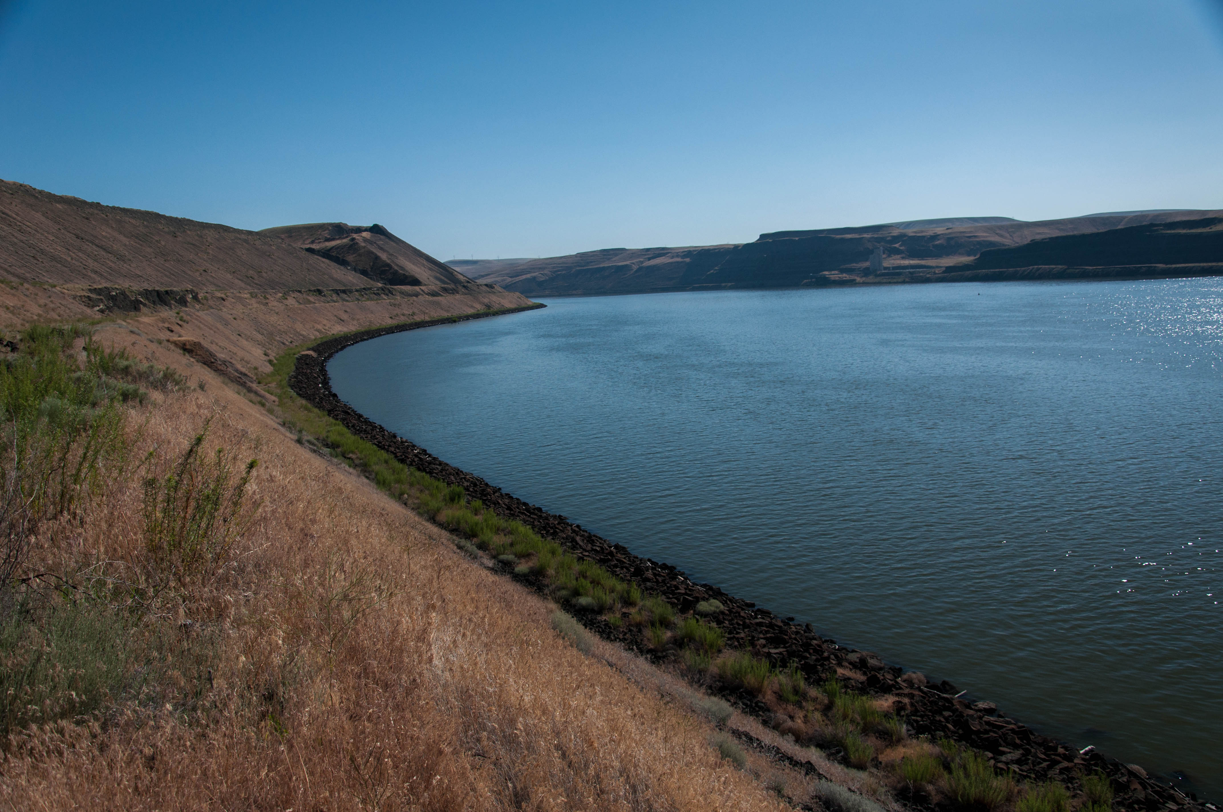
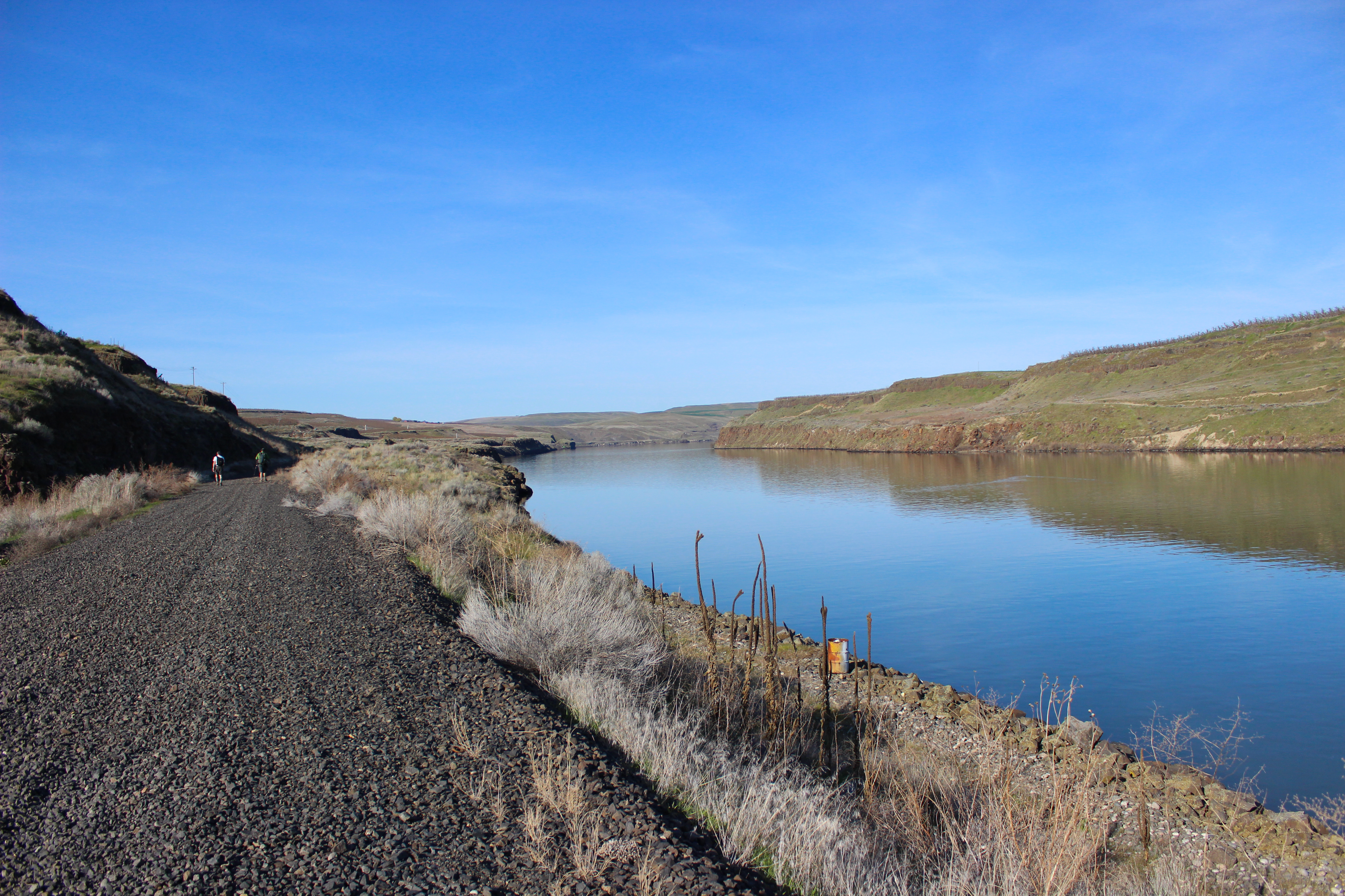
Along Snake River- Lake Sacajawea
Along Snake River
Topographic Map of Simmons Rd, Prescott, WA, USA
Find elevation by address:

Places near Simmons Rd, Prescott, WA, USA:
100 Burr Canyon Rd
31 Wallace Walker Rd, Pasco, WA, USA
Kahlotus
Franklin County
Lyons Ferry Rd, Prescott, WA, USA
Columbia Rd, Mesa, WA, USA
South Roxboro Road
Eltopia
Hatton
Bronson St, Hatton, WA, USA
Washtucna
Palouse Falls
5240 Eltopia West Rd
Adams County
Lind
33 E Larch St, Othello, WA, USA
Othello
691 S Canal Rd
N Power Plant Loop, Richland, WA, USA
Braeburn Pl NW, Soap Lake, WA, USA
Recent Searches:
- Elevation of Shibuya Scramble Crossing, 21 Udagawacho, Shibuya City, Tokyo -, Japan
- Elevation of Jadagoniai, Kaunas District Municipality, Lithuania
- Elevation of Pagonija rock, Kranto 7-oji g. 8"N, Kaunas, Lithuania
- Elevation of Co Rd 87, Jamestown, CO, USA
- Elevation of Tenjo, Cundinamarca, Colombia
- Elevation of Côte-des-Neiges, Montreal, QC H4A 3J6, Canada
- Elevation of Bobcat Dr, Helena, MT, USA
- Elevation of Zu den Ihlowbergen, Althüttendorf, Germany
- Elevation of Badaber, Peshawar, Khyber Pakhtunkhwa, Pakistan
- Elevation of SE Heron Loop, Lincoln City, OR, USA