Elevation of Lind, WA, USA
Location: United States > Washington > Adams County >
Longitude: -118.61526
Latitude: 46.9720892
Elevation: 416m / 1365feet
Barometric Pressure: 96KPa
Elevation Map:
Satellite Map:
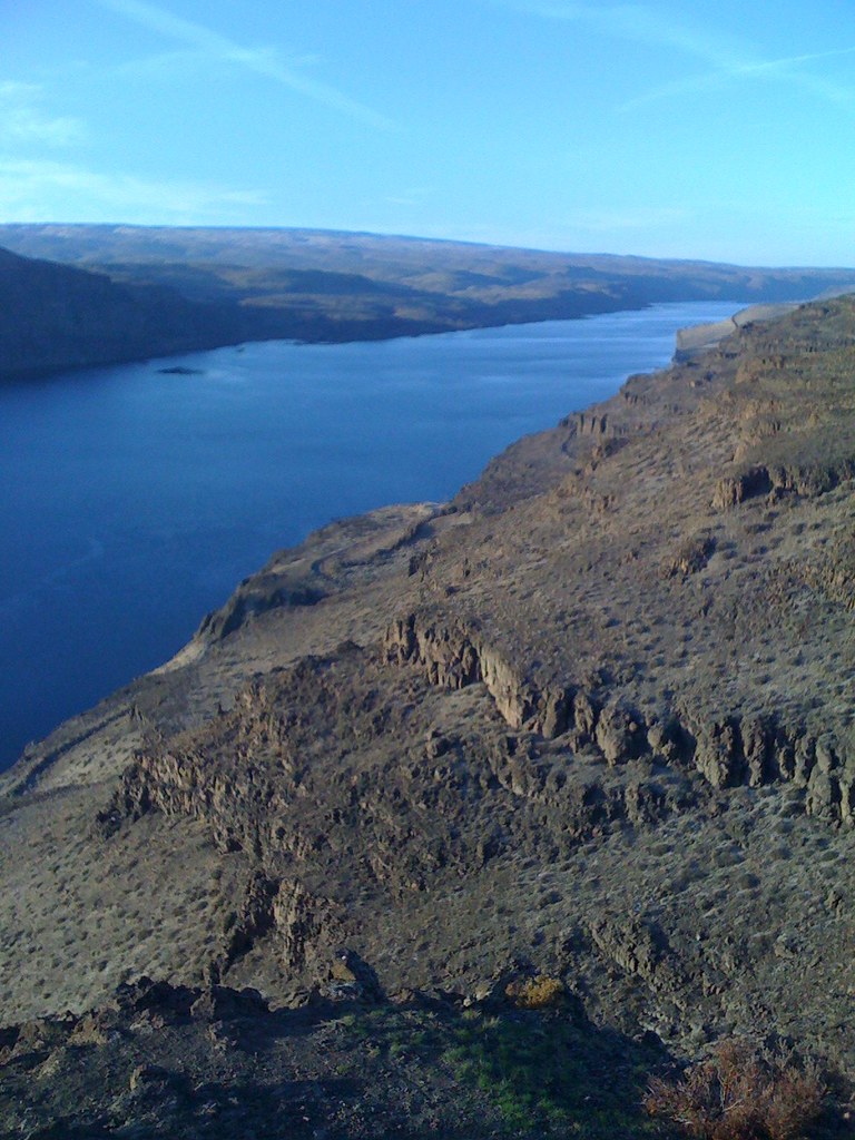
Related Photos:
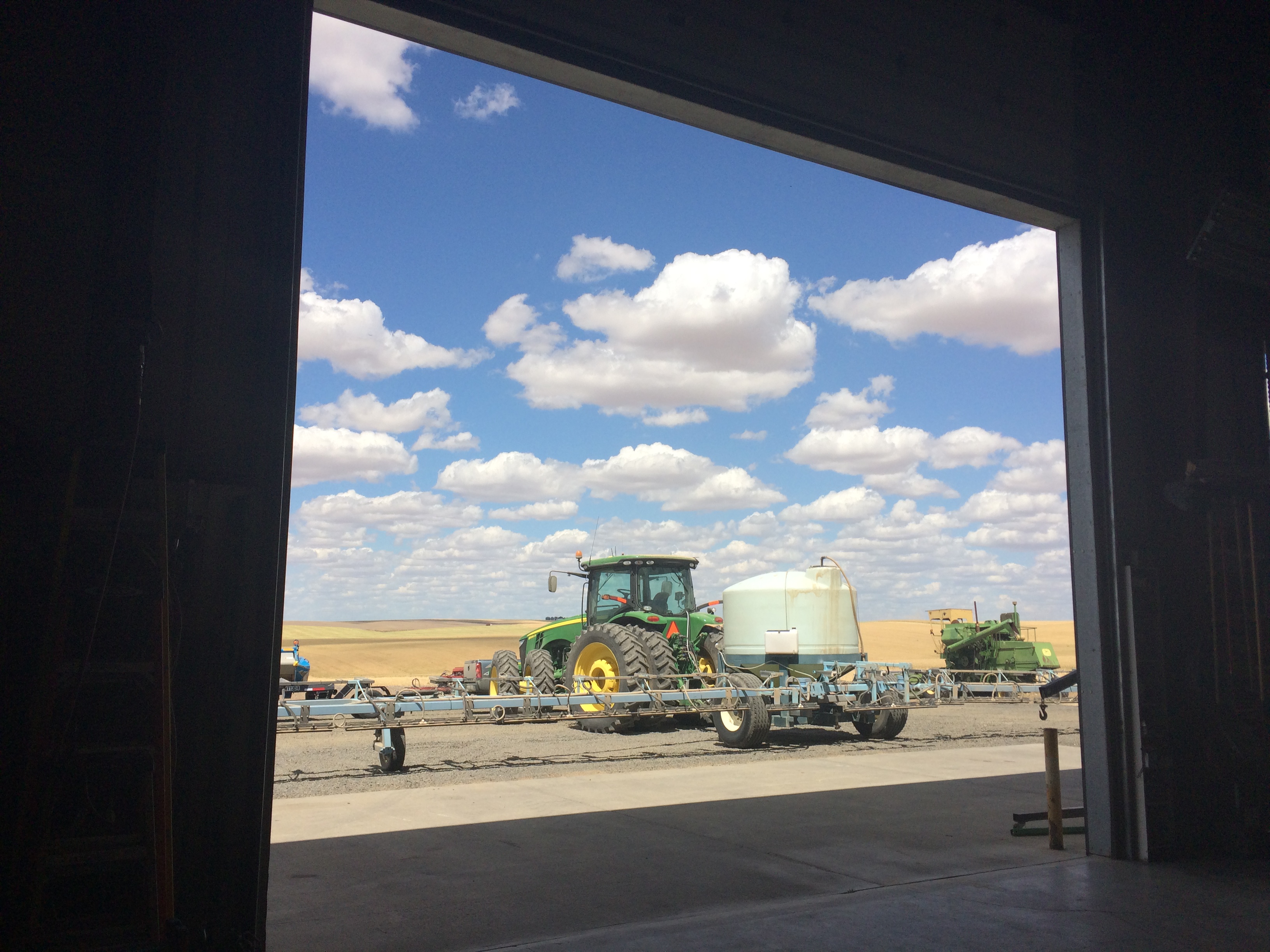
View from the shop
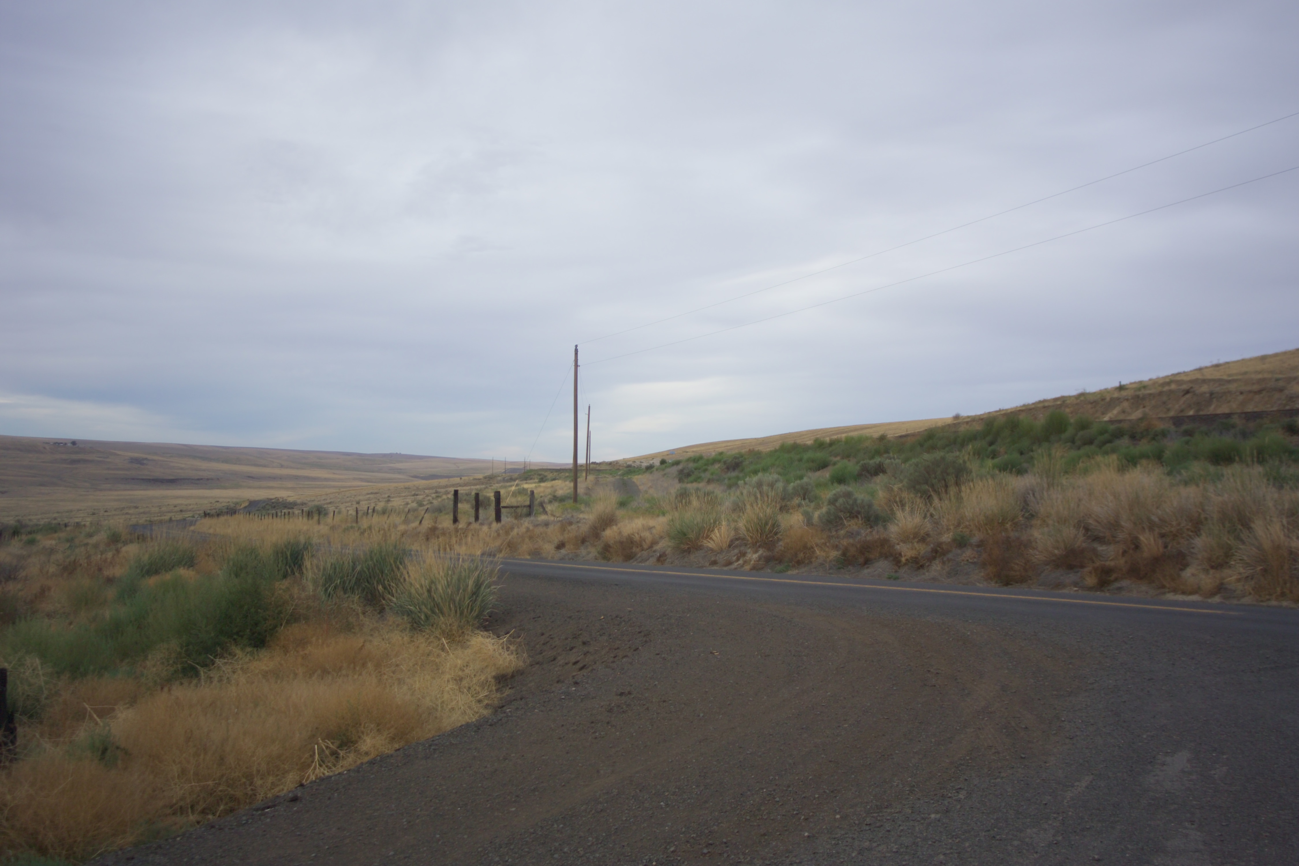
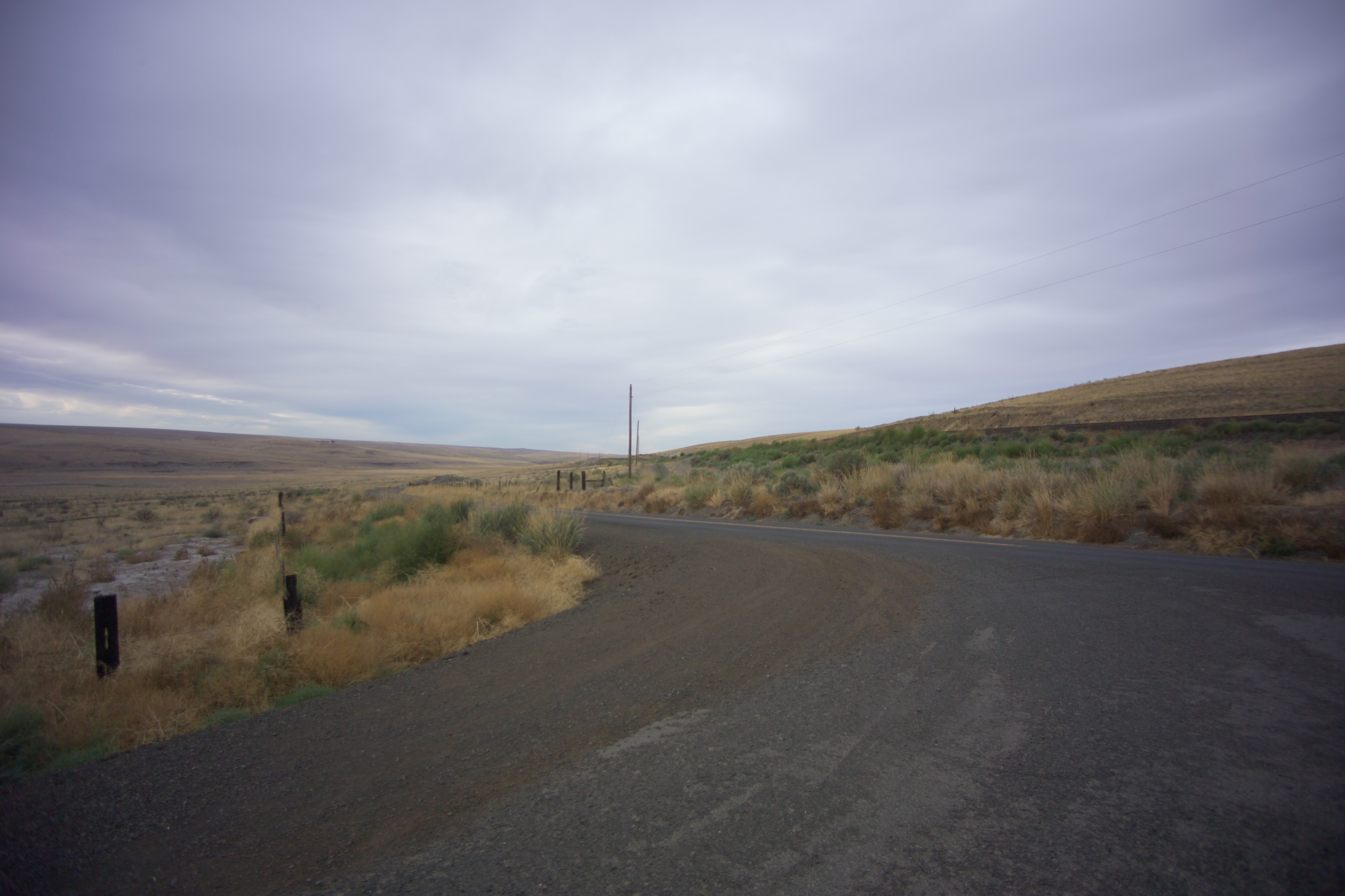
Near Servia, Washington
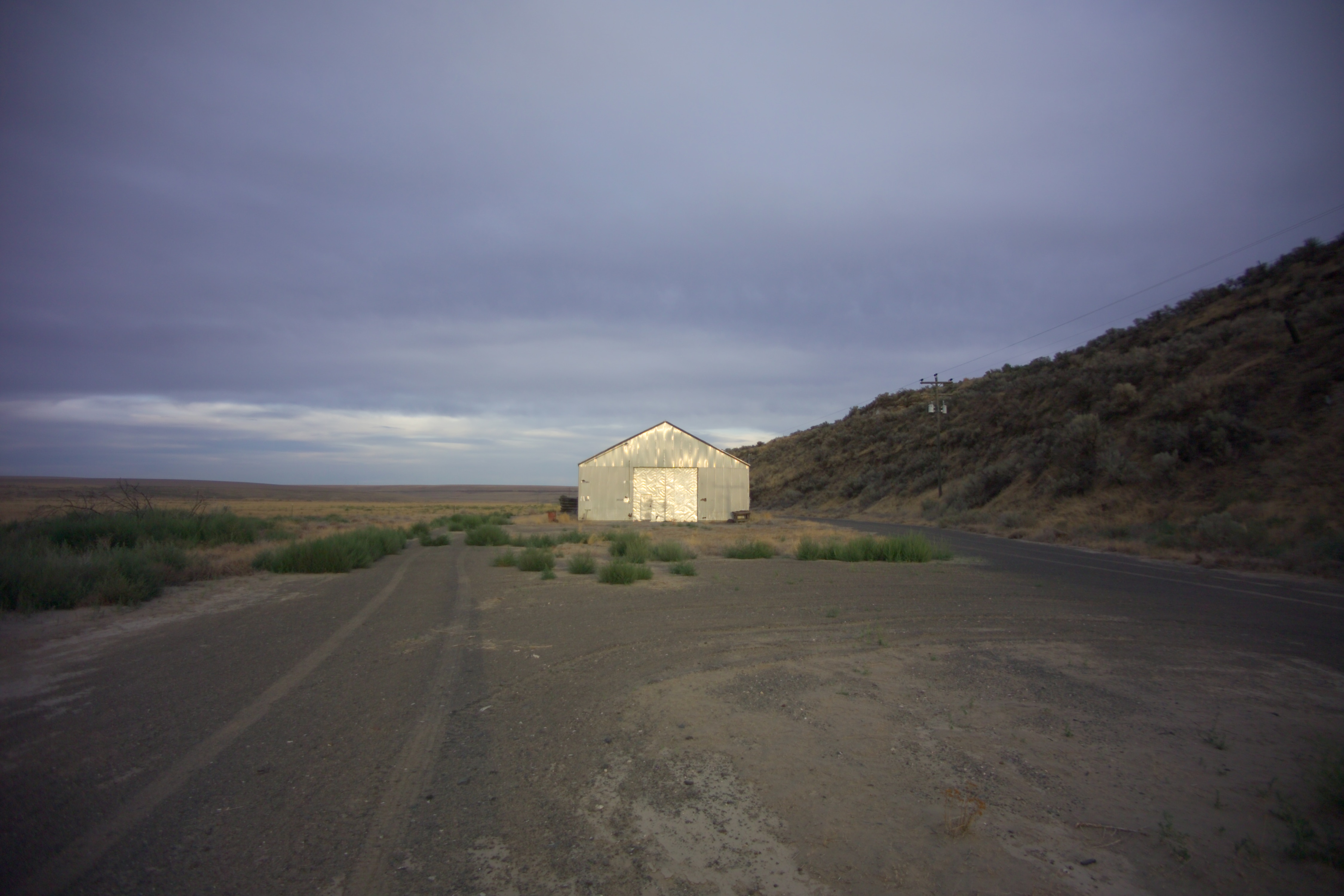
Near Servia, Washington
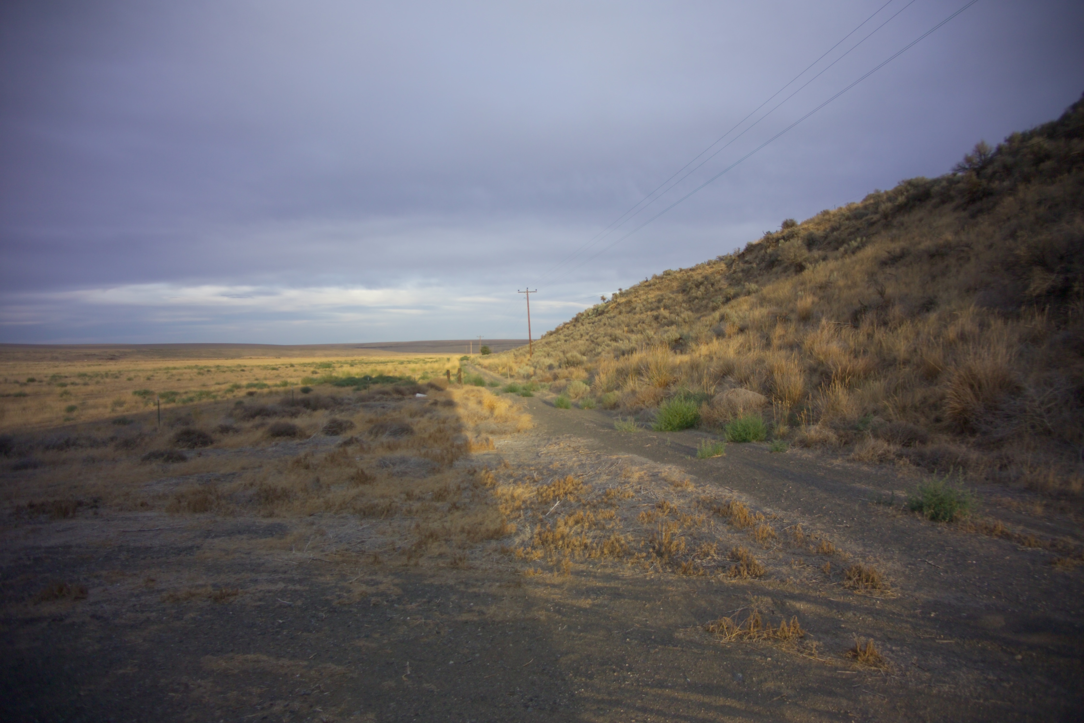
Near Servia, Washington

Billings, Montana bound!

Near Servia, Washington
Providence, Washington
Providence, Washington

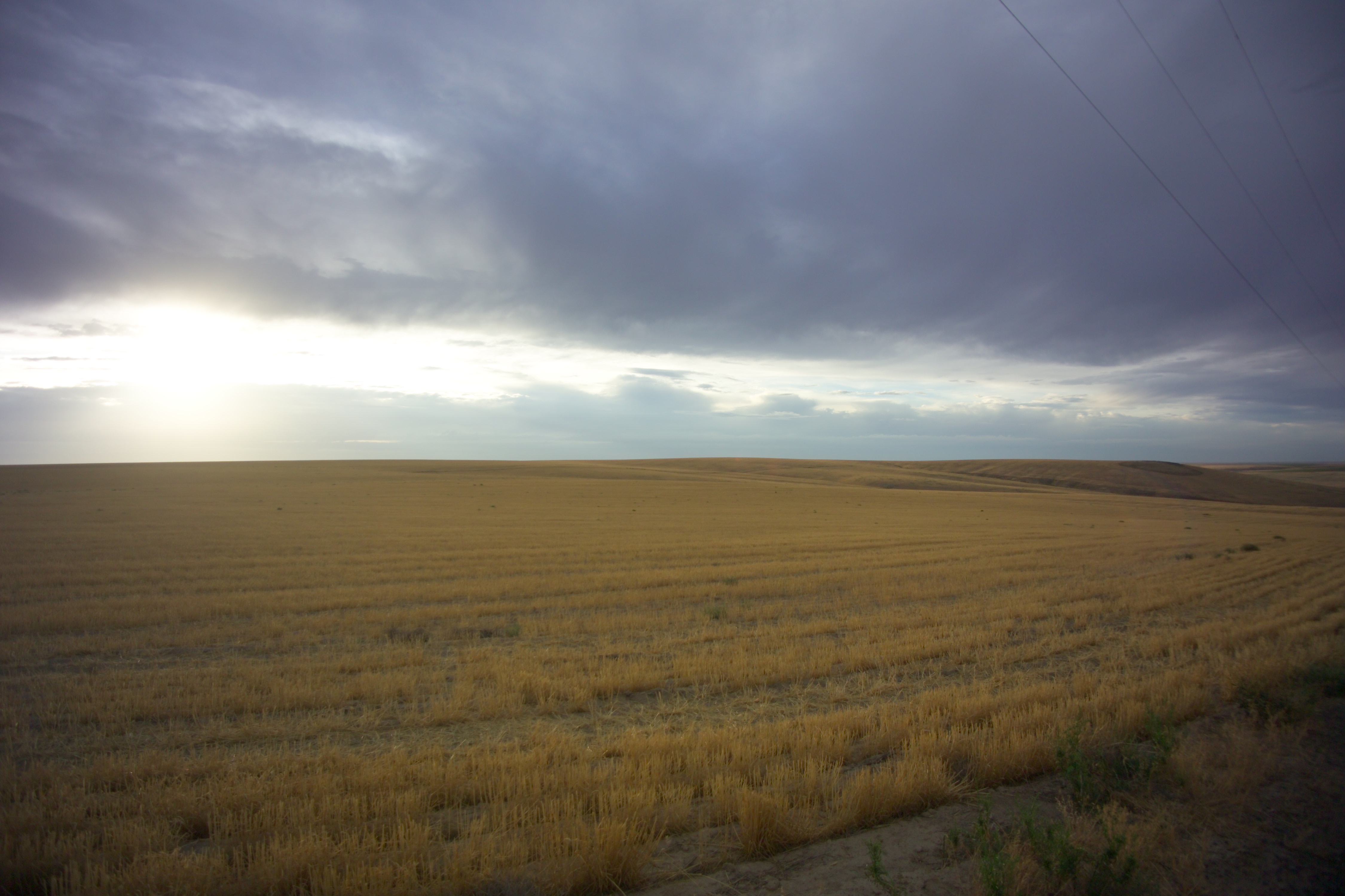
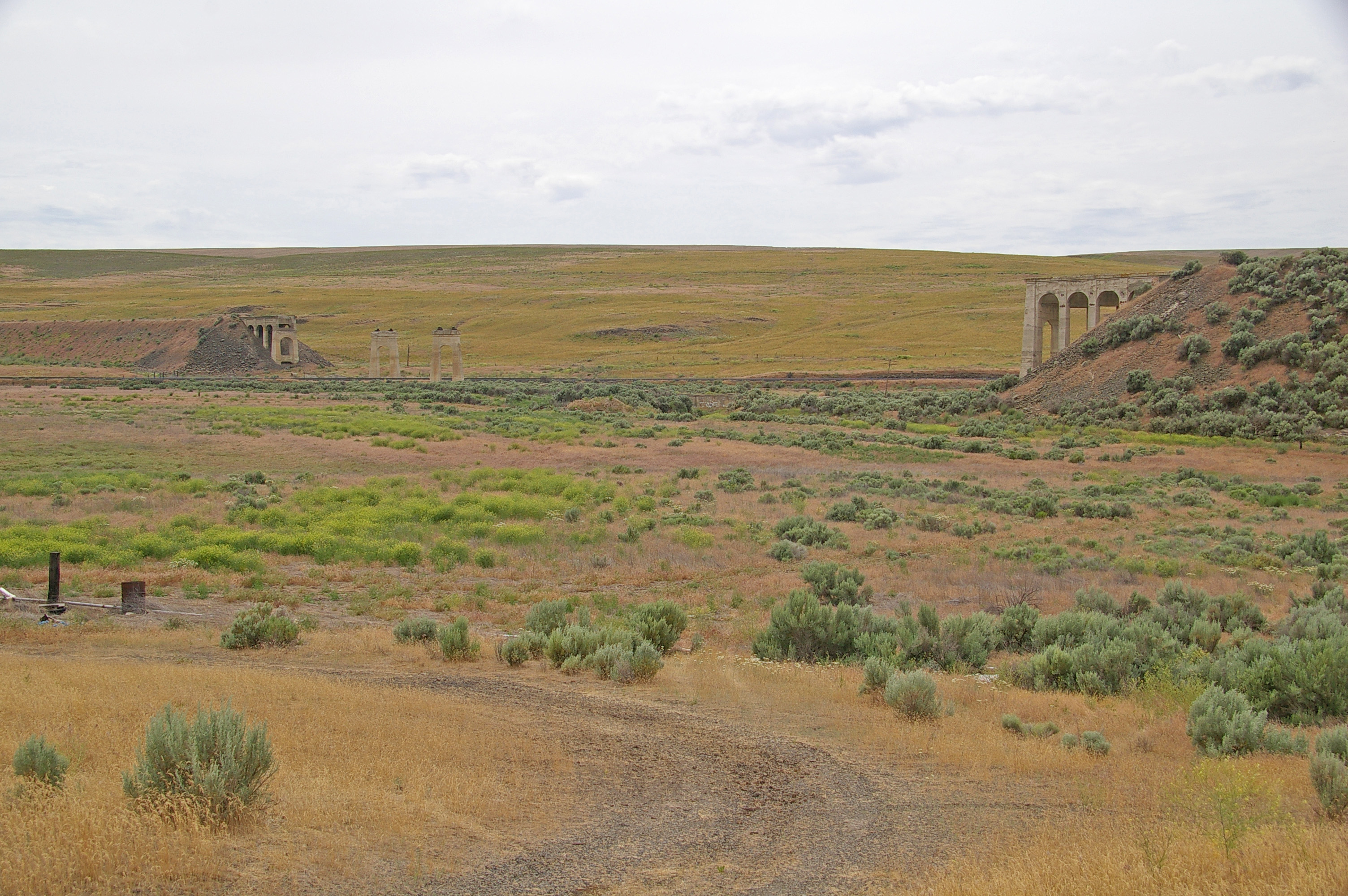
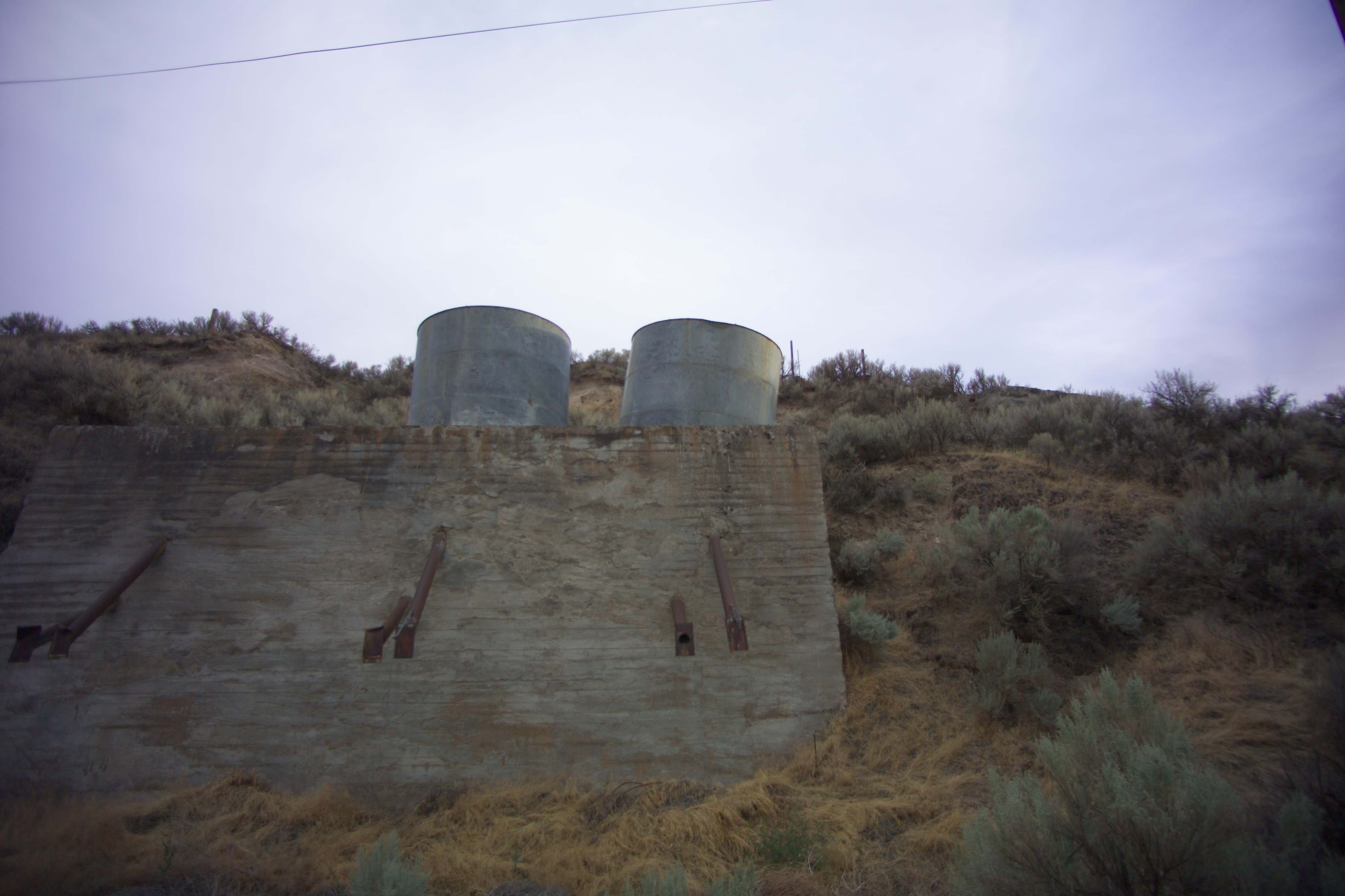
In the Middle of Nowhere
6-27-11 Lind,WA
Near Servia, Washington

Sad Sunflower

Washington farm
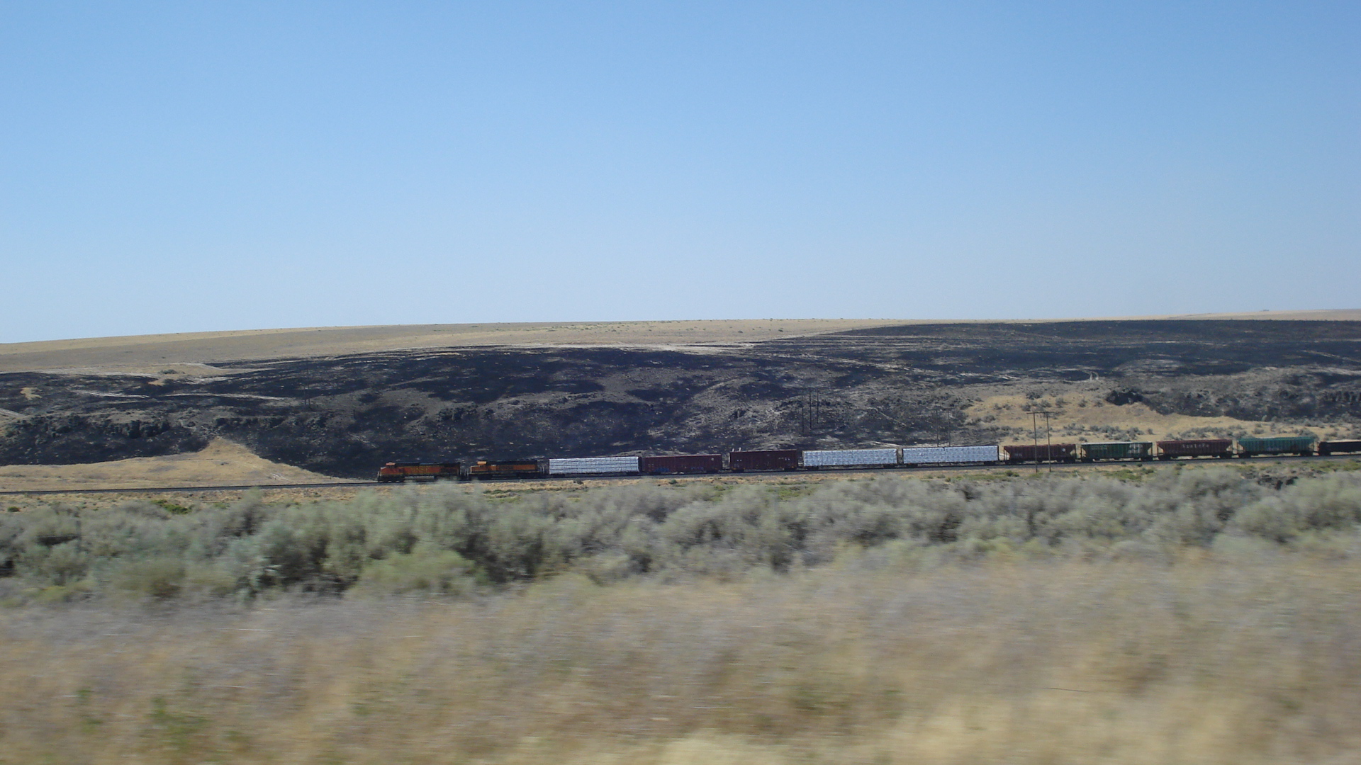
Train in Washington
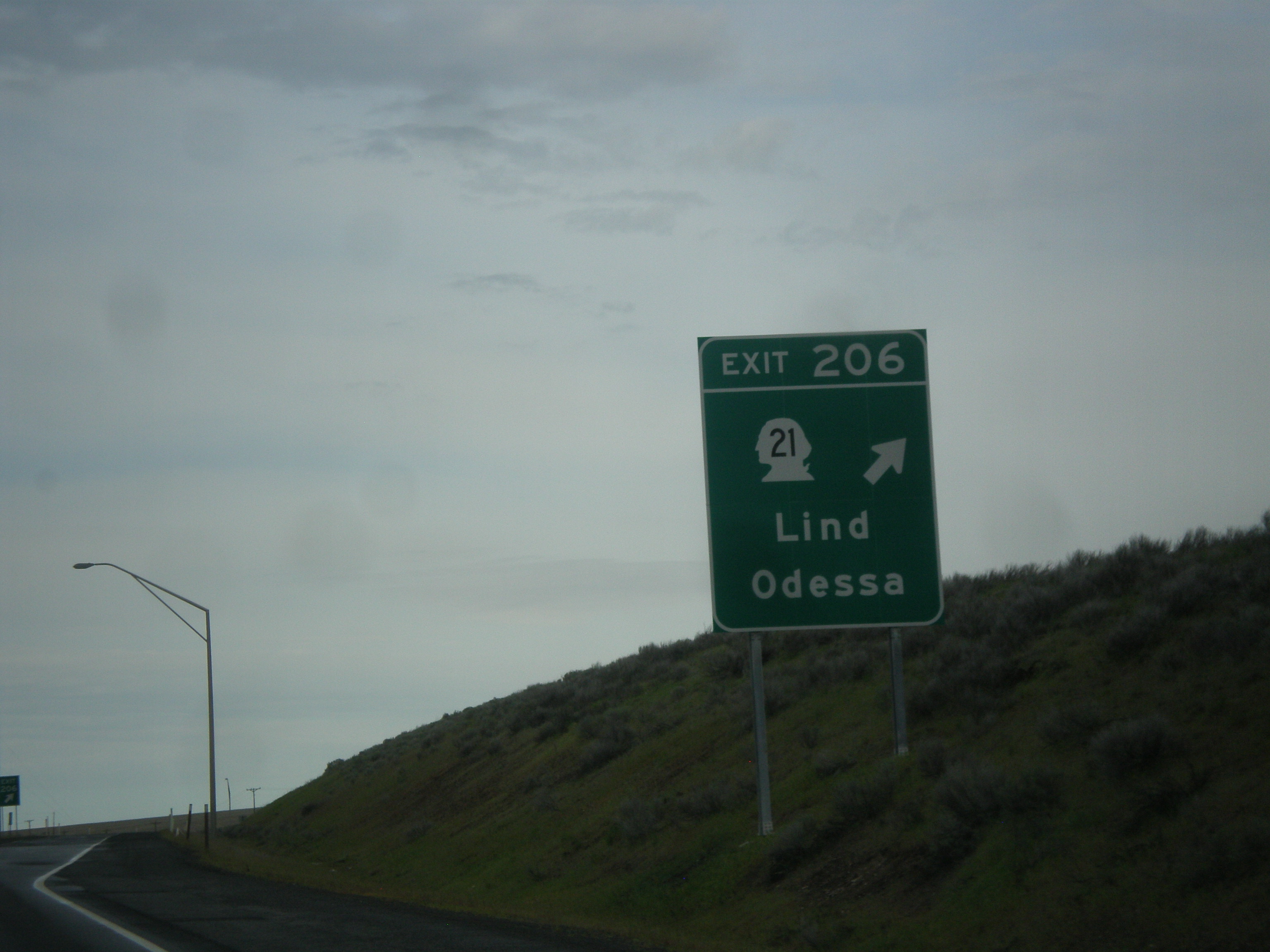
I-90 West - Exit 206
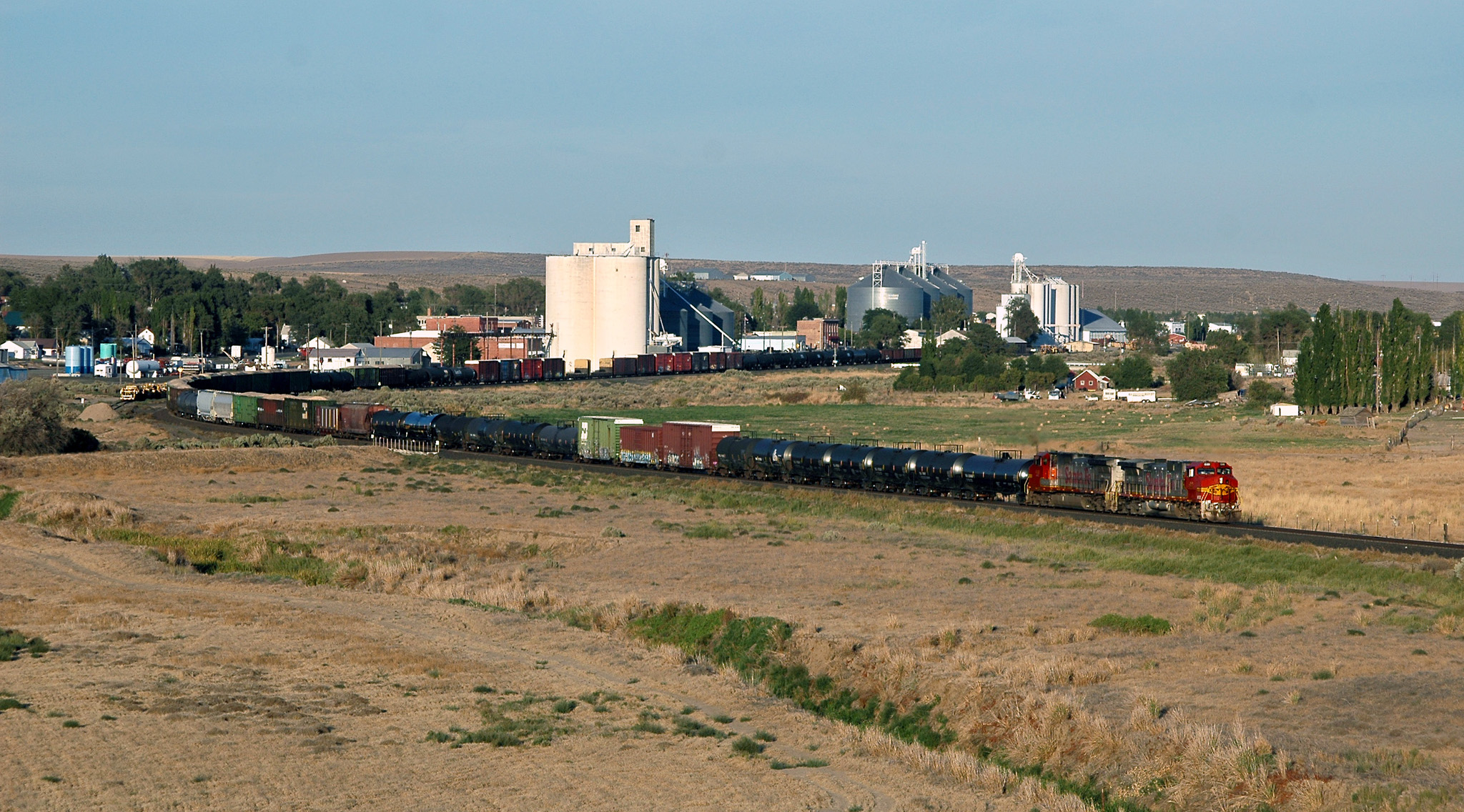
BNSF 699 west Manifest, Lind Washington 07.09.2008
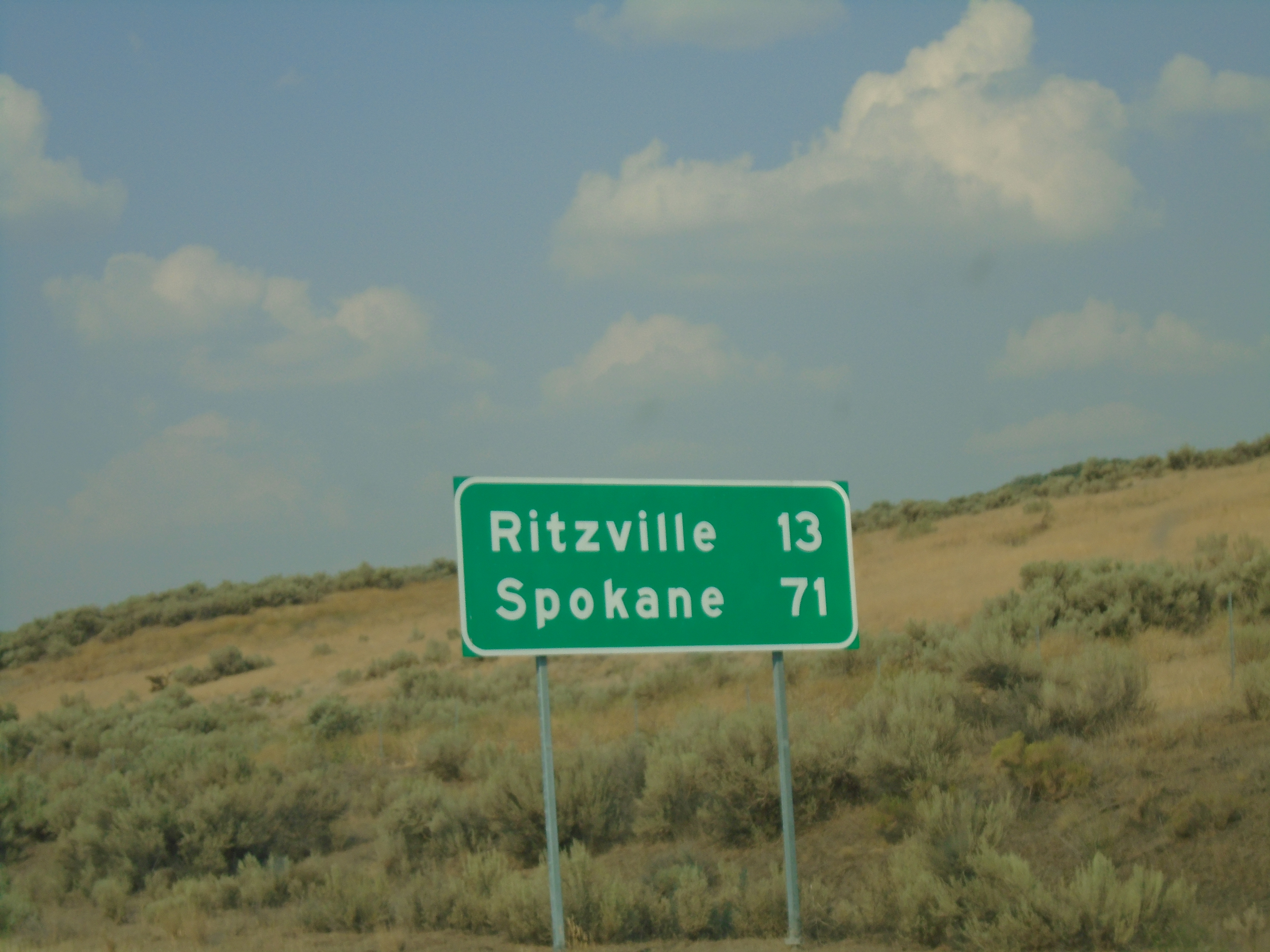
US-395 North - Distance Marker

141013 Old Farms North of Kahlotus three-87

USA Trip Summer 2018

Freight train climbing Lind Coulee
2008-11-23 15:25:04 -0800
Topographic Map of Lind, WA, USA
Find elevation by address:

Places near Lind, WA, USA:
Adams County
Ritzville
Hatton
Bronson St, Hatton, WA, USA
East Templin Road
South Roxboro Road
Kahlotus
Odessa
20 W 1st Ave, Odessa, WA, USA
Washtucna
Columbia Rd, Mesa, WA, USA
31 Wallace Walker Rd, Pasco, WA, USA
Braeburn Pl NW, Soap Lake, WA, USA
100 Burr Canyon Rd
Palouse Falls
Coffeepot Lake
Simmons Rd, Prescott, WA, USA
Franklin County
20450 Coffee Pot Rd E
Twin Lakes
Recent Searches:
- Elevation of Jadagoniai, Kaunas District Municipality, Lithuania
- Elevation of Pagonija rock, Kranto 7-oji g. 8"N, Kaunas, Lithuania
- Elevation of Co Rd 87, Jamestown, CO, USA
- Elevation of Tenjo, Cundinamarca, Colombia
- Elevation of Côte-des-Neiges, Montreal, QC H4A 3J6, Canada
- Elevation of Bobcat Dr, Helena, MT, USA
- Elevation of Zu den Ihlowbergen, Althüttendorf, Germany
- Elevation of Badaber, Peshawar, Khyber Pakhtunkhwa, Pakistan
- Elevation of SE Heron Loop, Lincoln City, OR, USA
- Elevation of Slanický ostrov, 01 Námestovo, Slovakia