Elevation of Coffeepot Lake, Washington, USA
Location: United States > Washington > Lincoln County > Odessa >
Longitude: -118.56828
Latitude: 47.4908202
Elevation: 551m / 1808feet
Barometric Pressure: 95KPa
Elevation Map:
Satellite Map:
Related Photos:
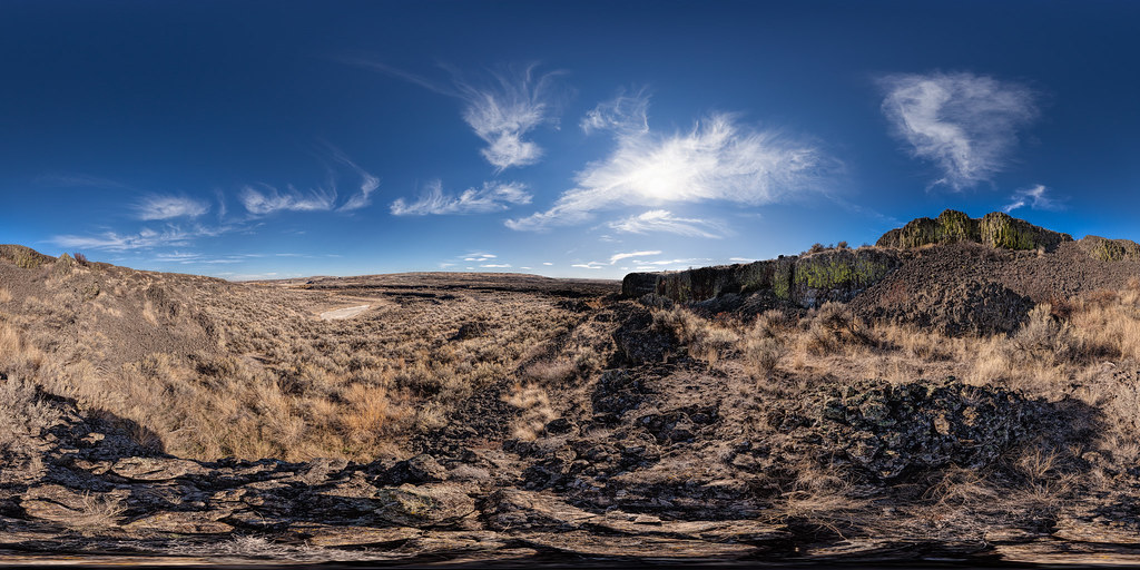
Volcano! (former)
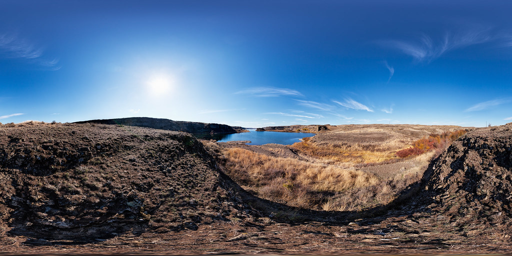
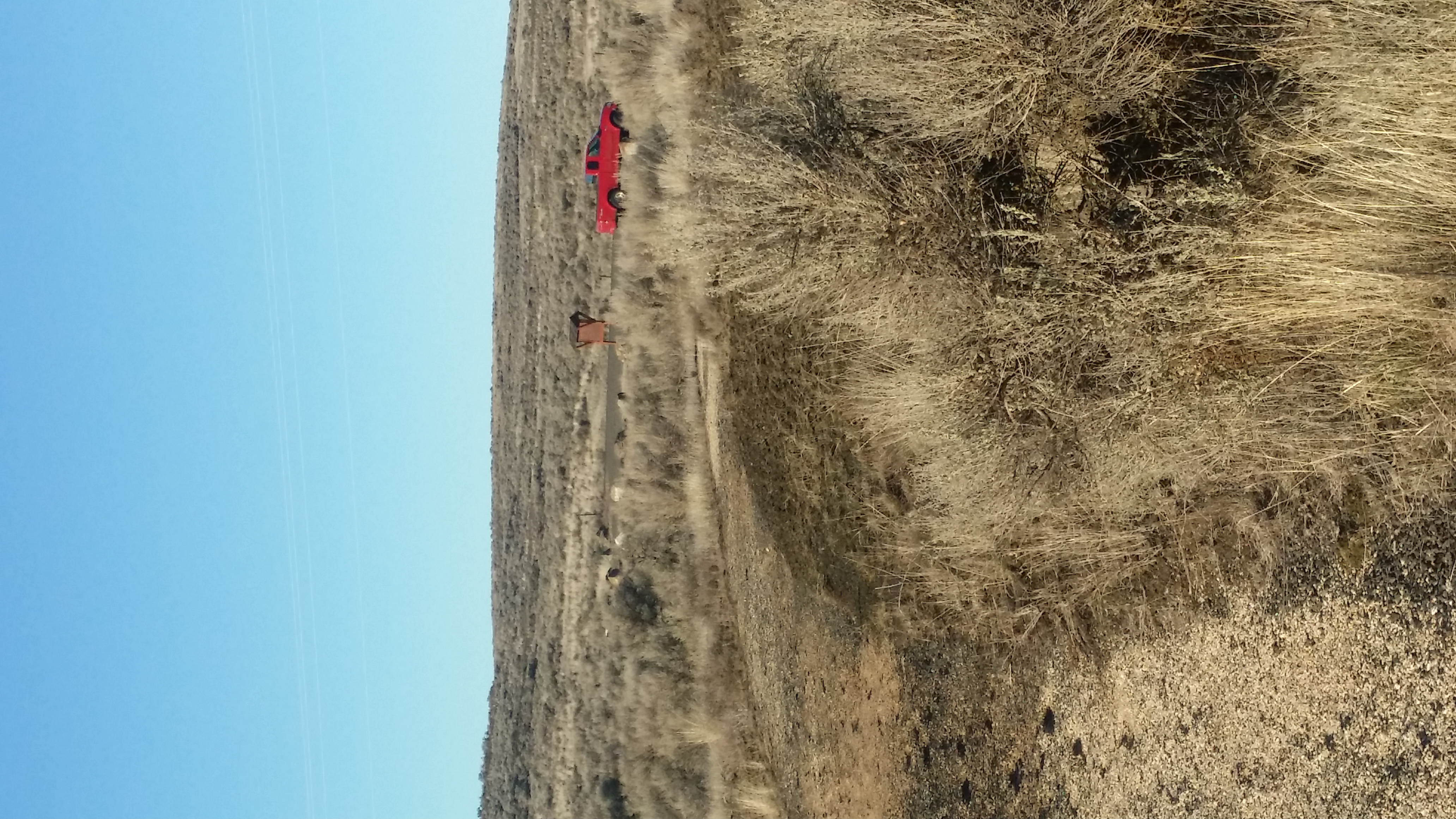
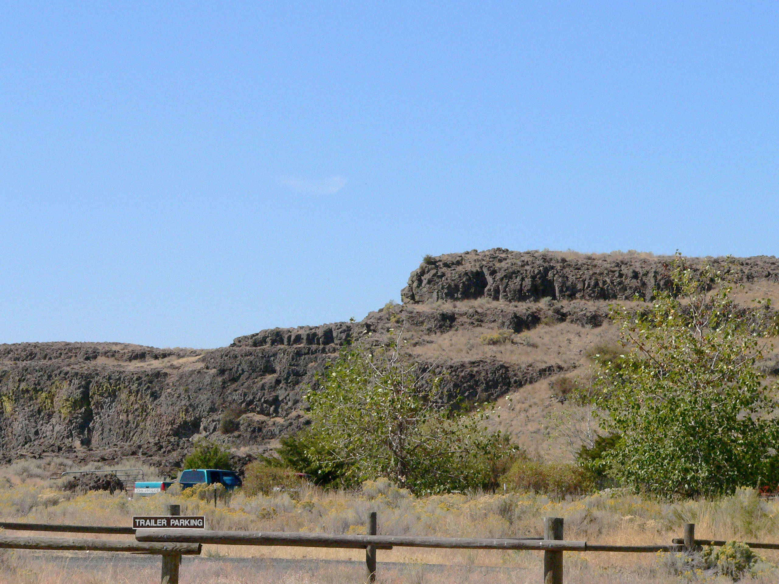
Coffeepot Lake - View from North End
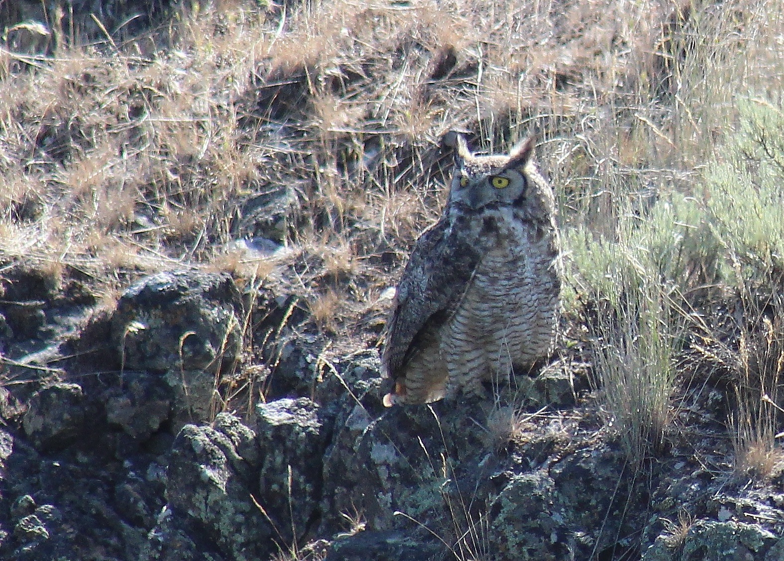
IMG_8470 Great Horned Owl

IMG_8407 Drake Ruddy Duck
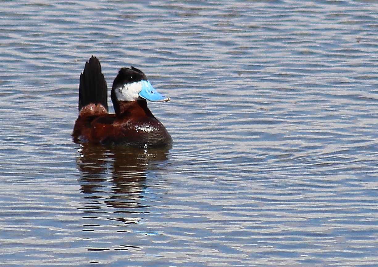
IMG_8413 Ruddy Duck drake
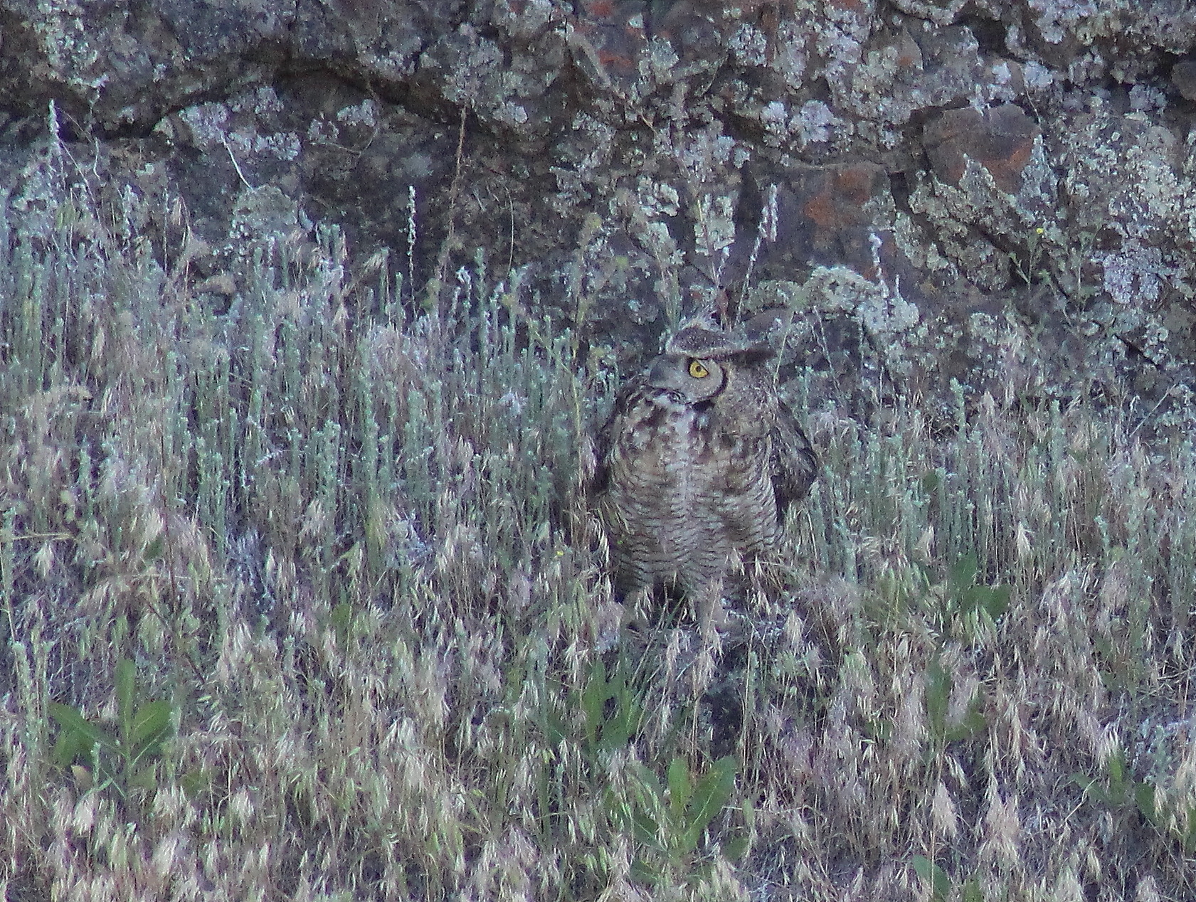
IMG_8465 Great Horned Owl
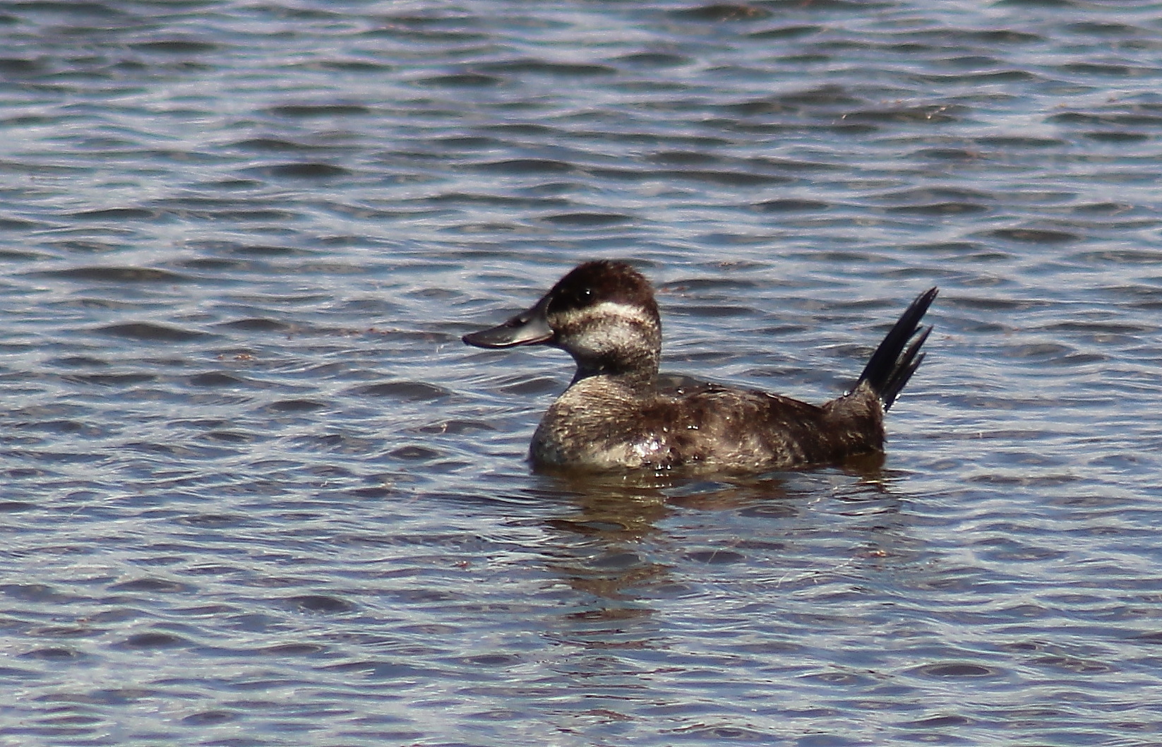
IMG_8411 Ruddy Duck hen
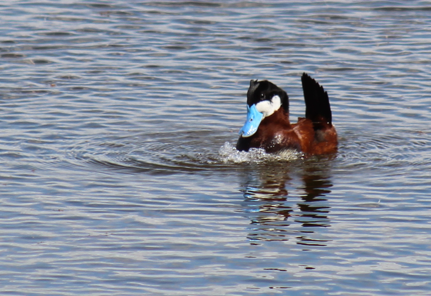
IMG_8412 Ruddy Duck display
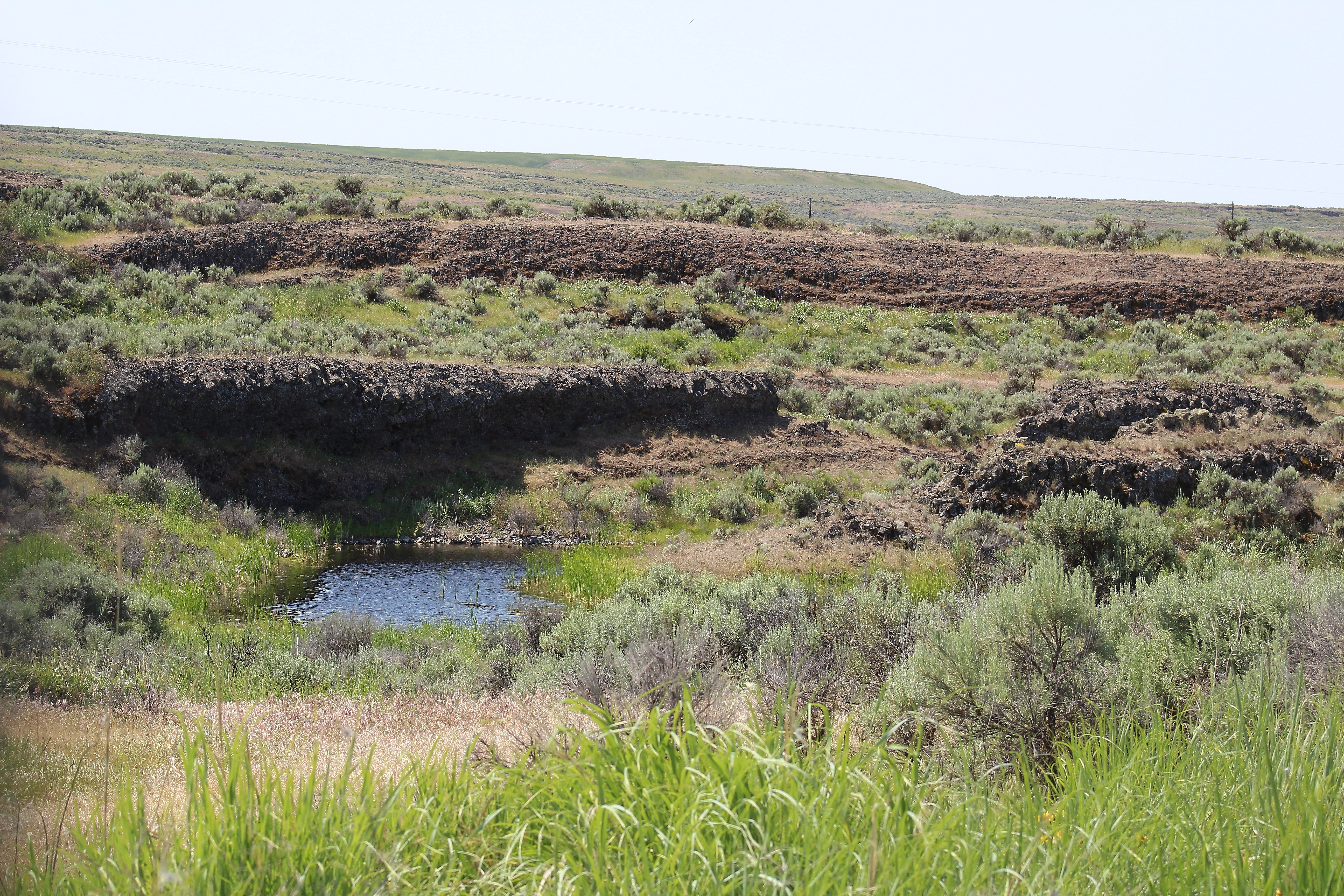
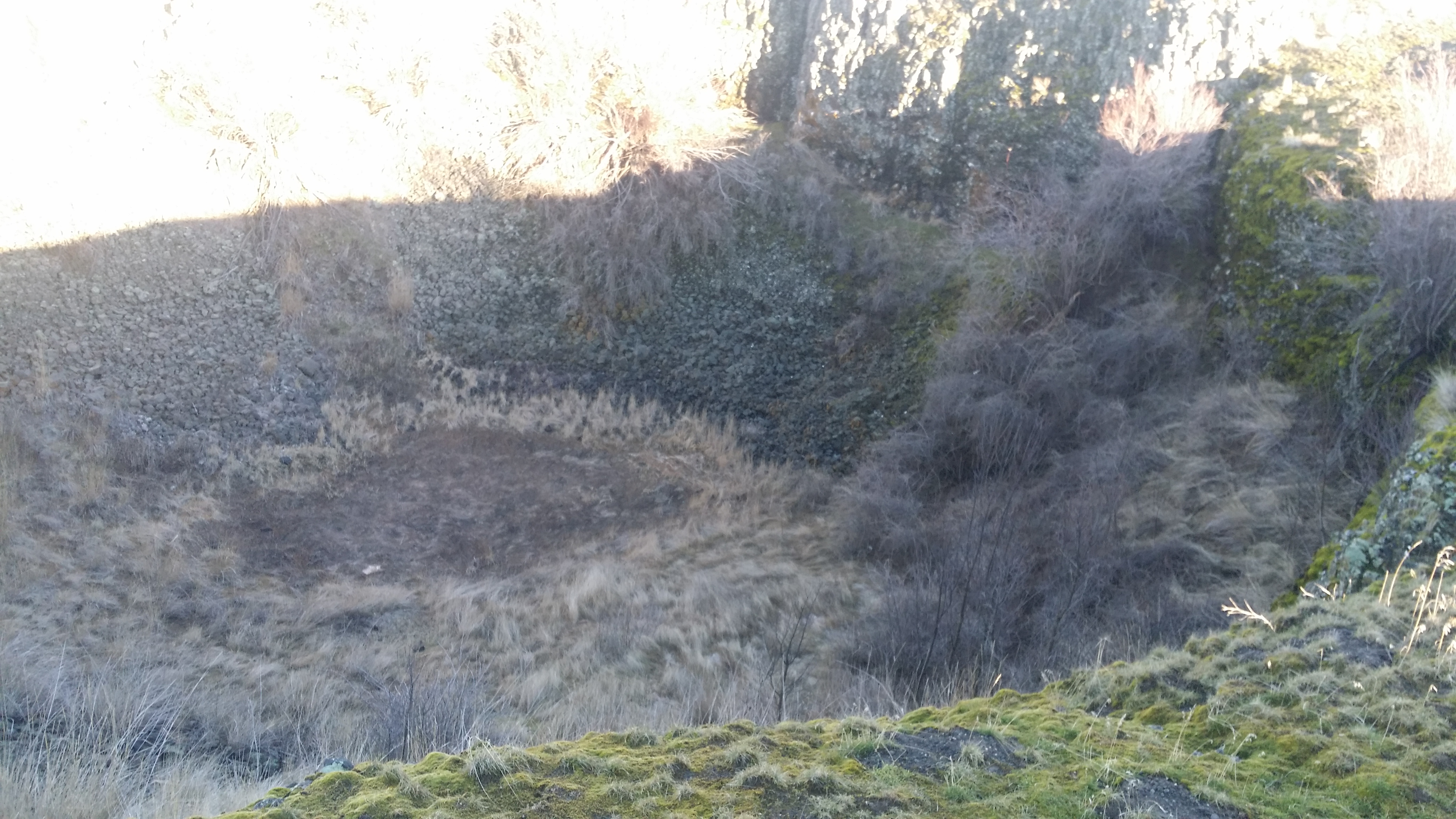
IMG_8525 Odessa Craters pothole
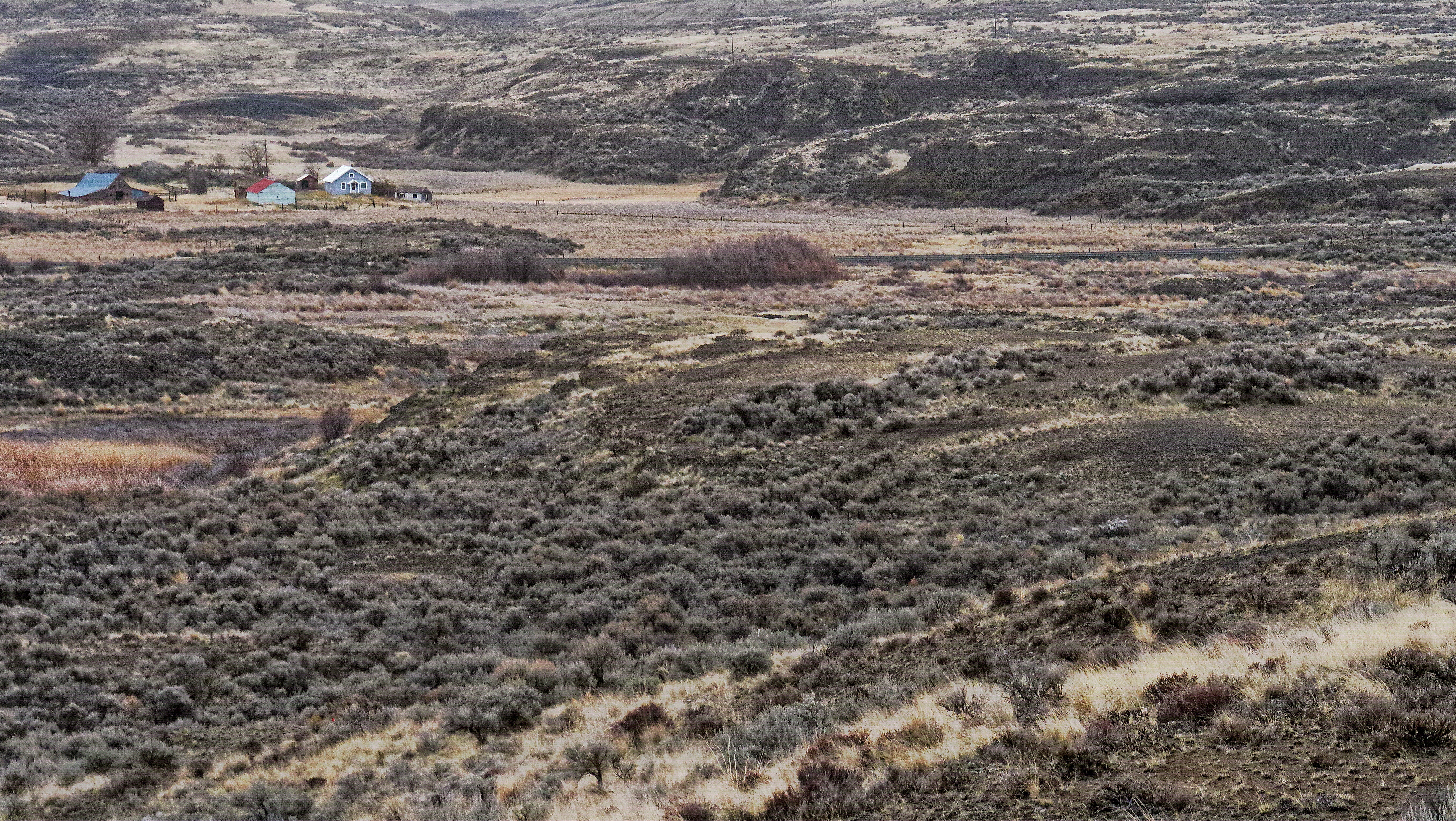
Lake Creek Coulee with view of small ranch and portion of Wild Garden Crater
Earl, Washington
Earl, Washington

Pieces and Parts

DSCF1782.jpg

Sagebrush and Aspen

Twin Lakes balsamroot

2015 0119 150232
2015 0119 145416
2015 0119 150105
029-07 2007 USA, Washington, Lincoln County, Channeled Scablands, Twin Lakes, Rocky Hill
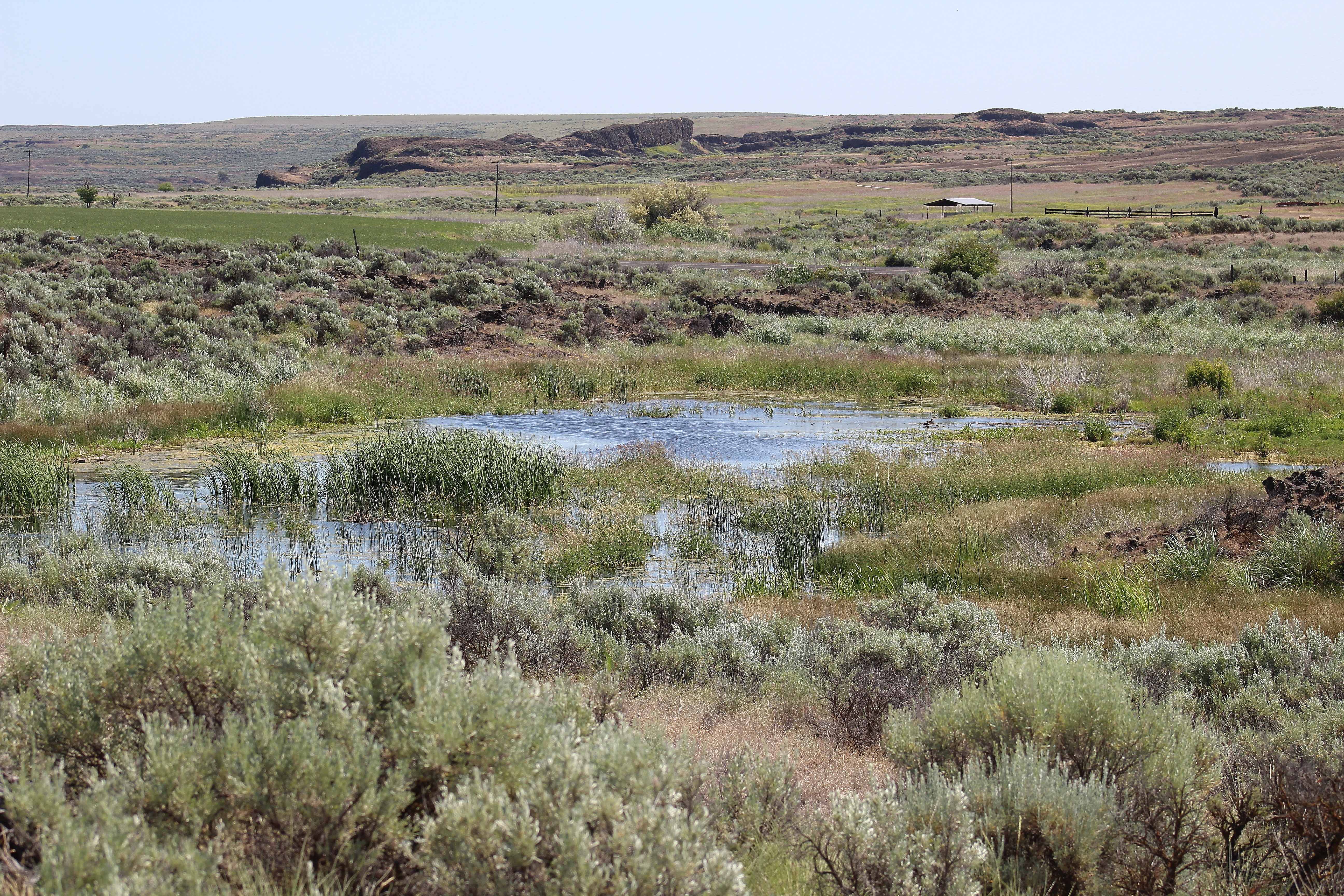
IMG_8517 Lake in Odessa Craters
IMG_8481 Odessa Craters

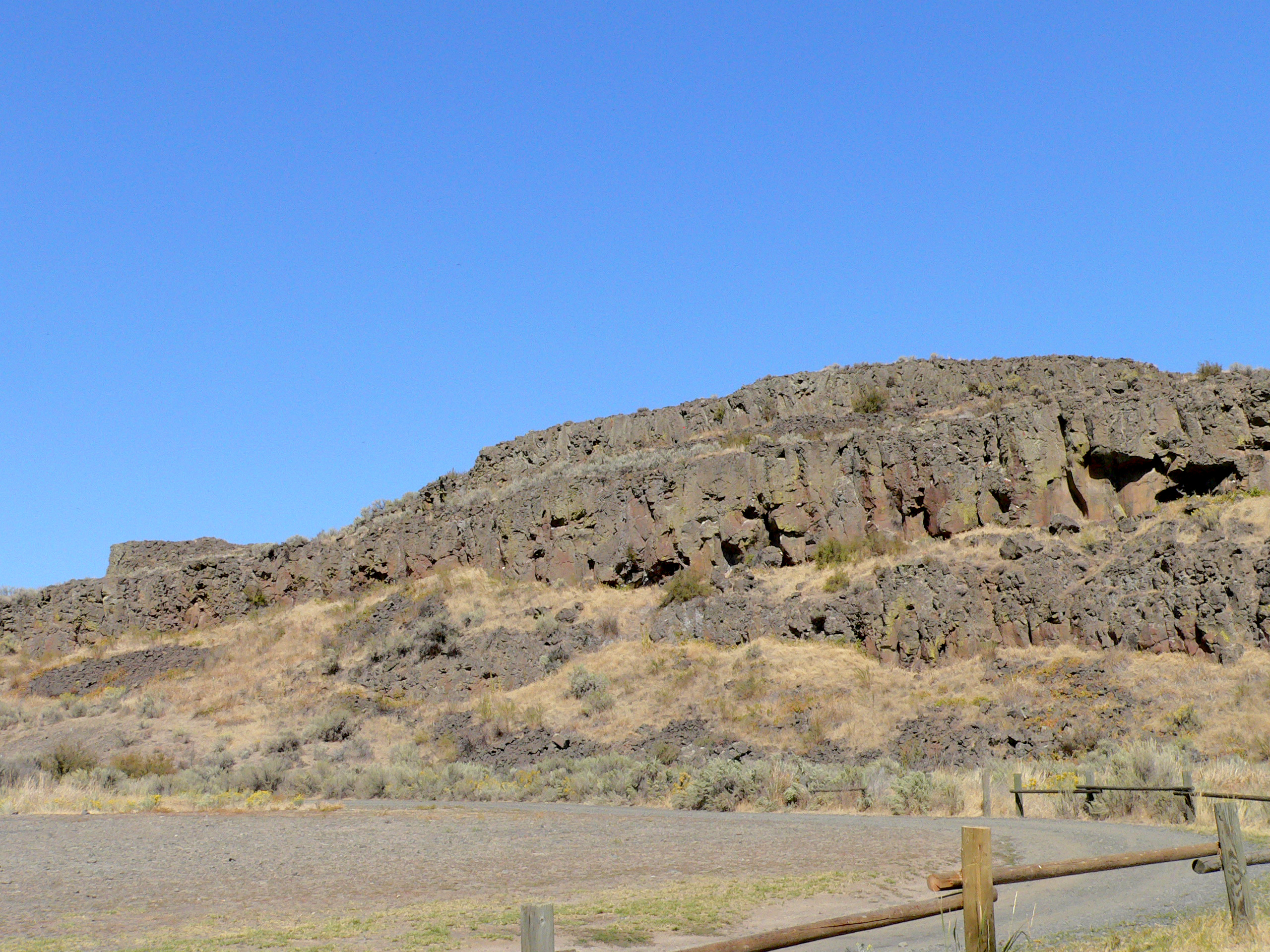
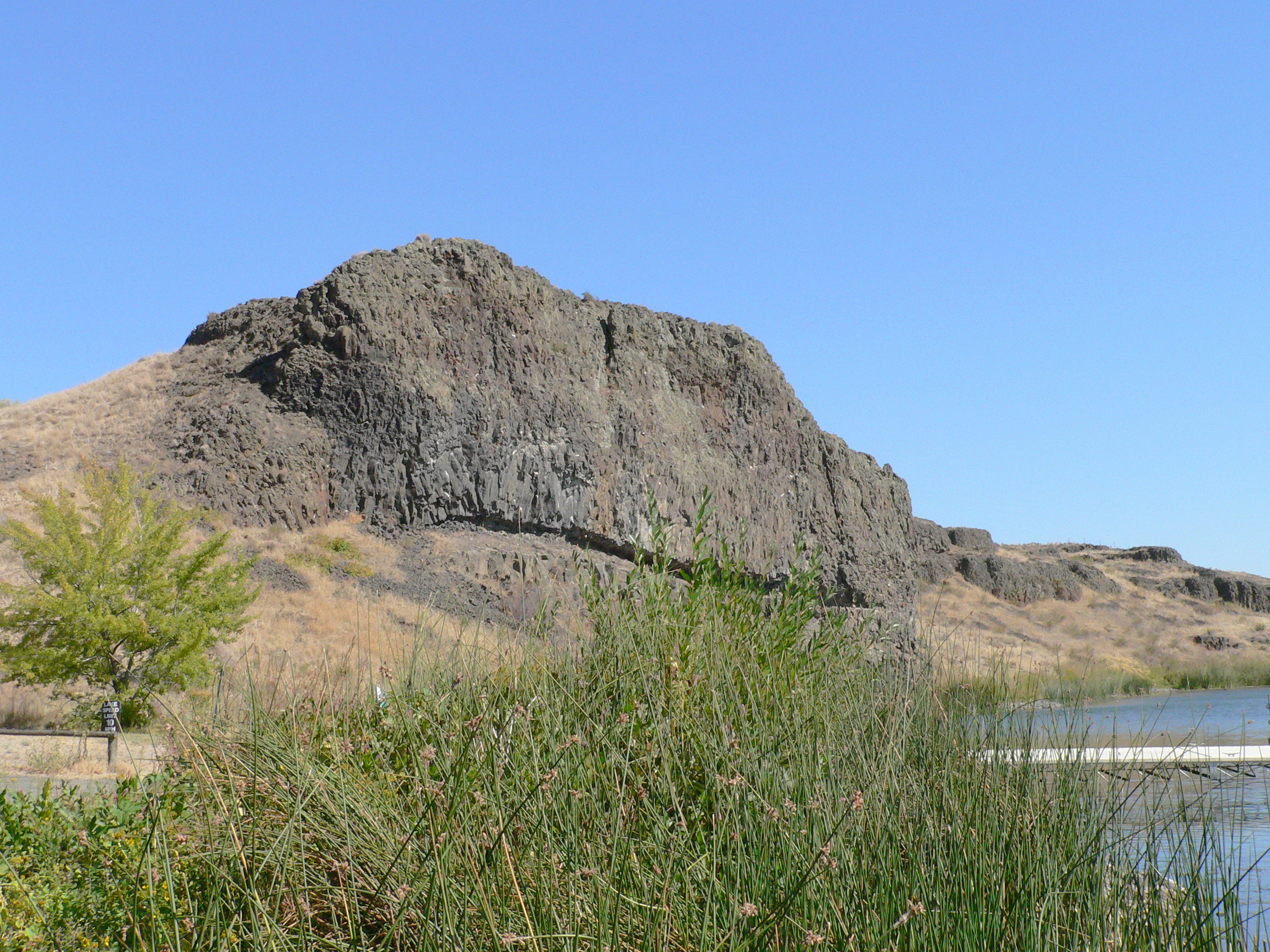
028-08 USA, Washington, Lincoln County, Channeled Scablands, Coffeepot Lake, Rock Outcrop

028-09 USA, Washington, Lincoln County, Channeled Scablands, Coffeepot Lake, Rock Outcrop
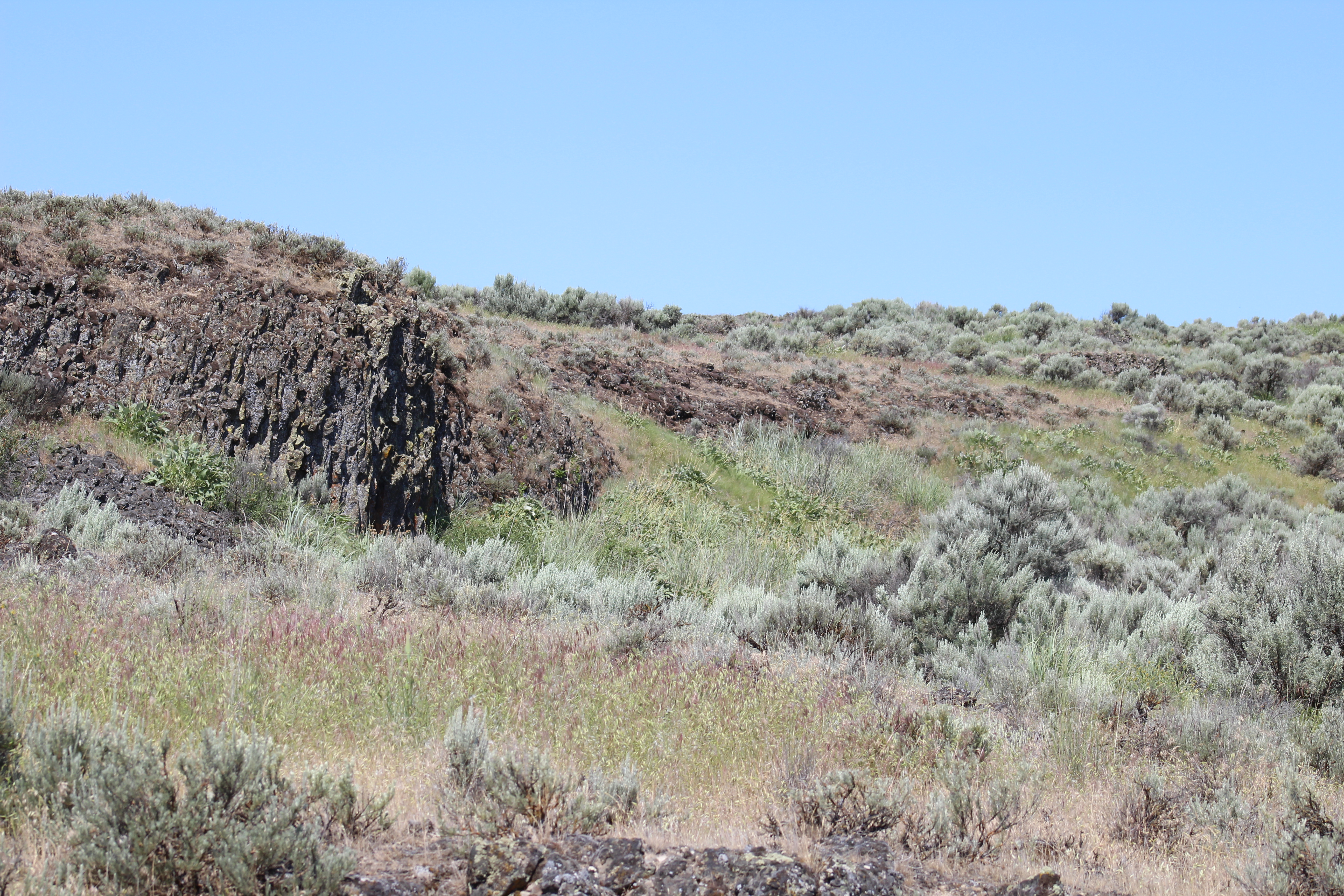
028-03 USA, Washington, Lincoln County, Channeled Scablands, Near Coffeepot Lake
028-04 USA, Washington, Lincoln County, Channeled Scablands, Coffeepot Lake
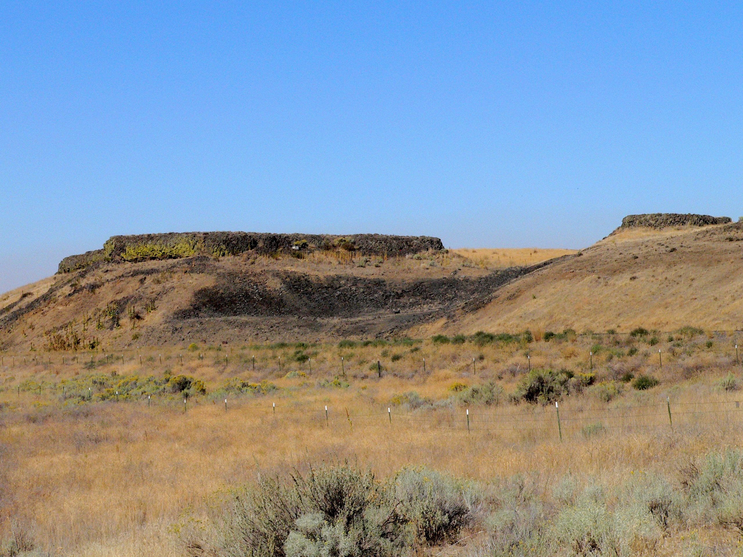
028-02 USA, Washington, Lincoln County, Channeled Scablands, Near Coffeepot Lake
Topographic Map of Coffeepot Lake, Washington, USA
Find elevation by address:

Places near Coffeepot Lake, Washington, USA:
20450 Coffee Pot Rd E
Twin Lakes
Lincoln County
Odessa
20 W 1st Ave, Odessa, WA, USA
Lamp Rd, Davenport, WA, USA
Wilbur
Harrington
Rocklyn
31998 Hawk Creek Ranch Rd N
Davenport, WA, USA
34565 Partridge Ln N
34830 Partridge Ln N
East Templin Road
Ritzville
Krupp
Marlin
High St, Marlin, WA, USA
Davenport
1405 3rd St
Recent Searches:
- Elevation of Elwyn Dr, Roanoke Rapids, NC, USA
- Elevation of Congressional Dr, Stevensville, MD, USA
- Elevation of Bellview Rd, McLean, VA, USA
- Elevation of Stage Island Rd, Chatham, MA, USA
- Elevation of Shibuya Scramble Crossing, 21 Udagawacho, Shibuya City, Tokyo -, Japan
- Elevation of Jadagoniai, Kaunas District Municipality, Lithuania
- Elevation of Pagonija rock, Kranto 7-oji g. 8"N, Kaunas, Lithuania
- Elevation of Co Rd 87, Jamestown, CO, USA
- Elevation of Tenjo, Cundinamarca, Colombia
- Elevation of Côte-des-Neiges, Montreal, QC H4A 3J6, Canada