Elevation of Lamp Rd, Davenport, WA, USA
Location: United States > Washington > Lincoln County > Davenport >
Longitude: -118.37183
Latitude: 47.541003
Elevation: 691m / 2267feet
Barometric Pressure: 93KPa
Elevation Map:
Satellite Map:
Related Photos:
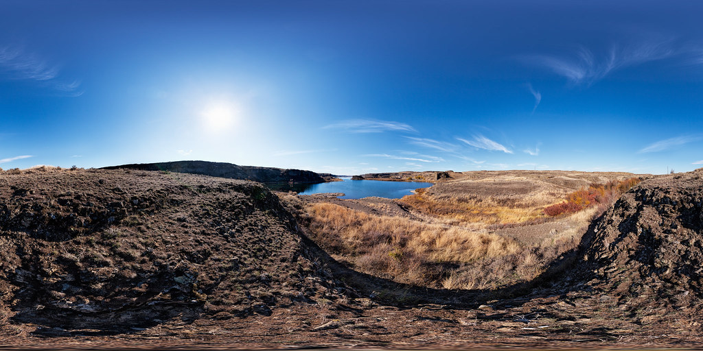
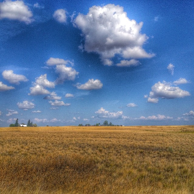
Coffeepot Lake - View from North End
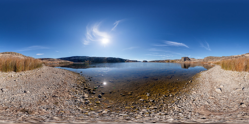
Coffeepot Lake, Washington
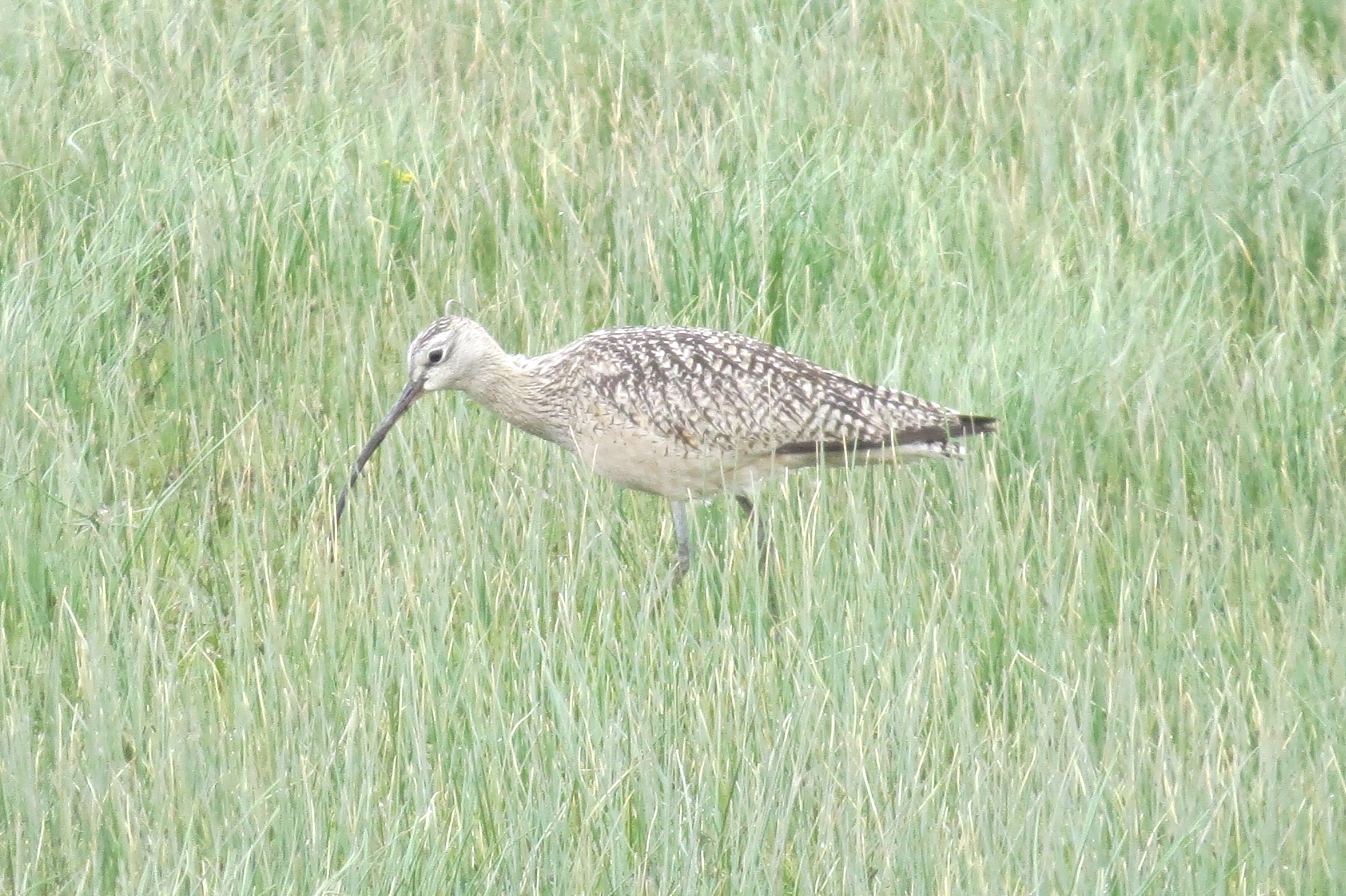
Long-billed Curlew-Lincoln Co., WA-4-30-2013
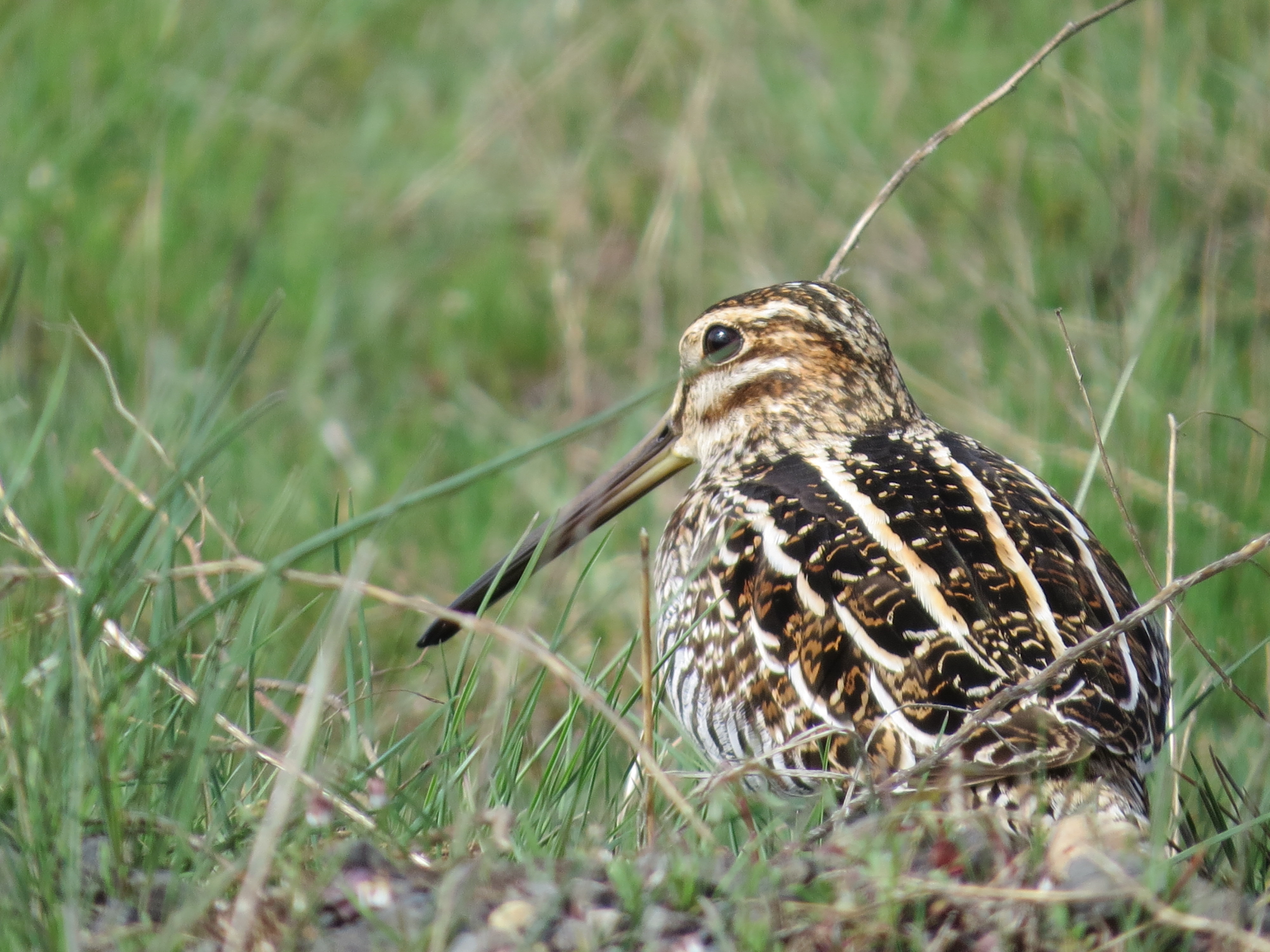
Wilson's Snipe-Lincoln Co., WA-4-7-2013
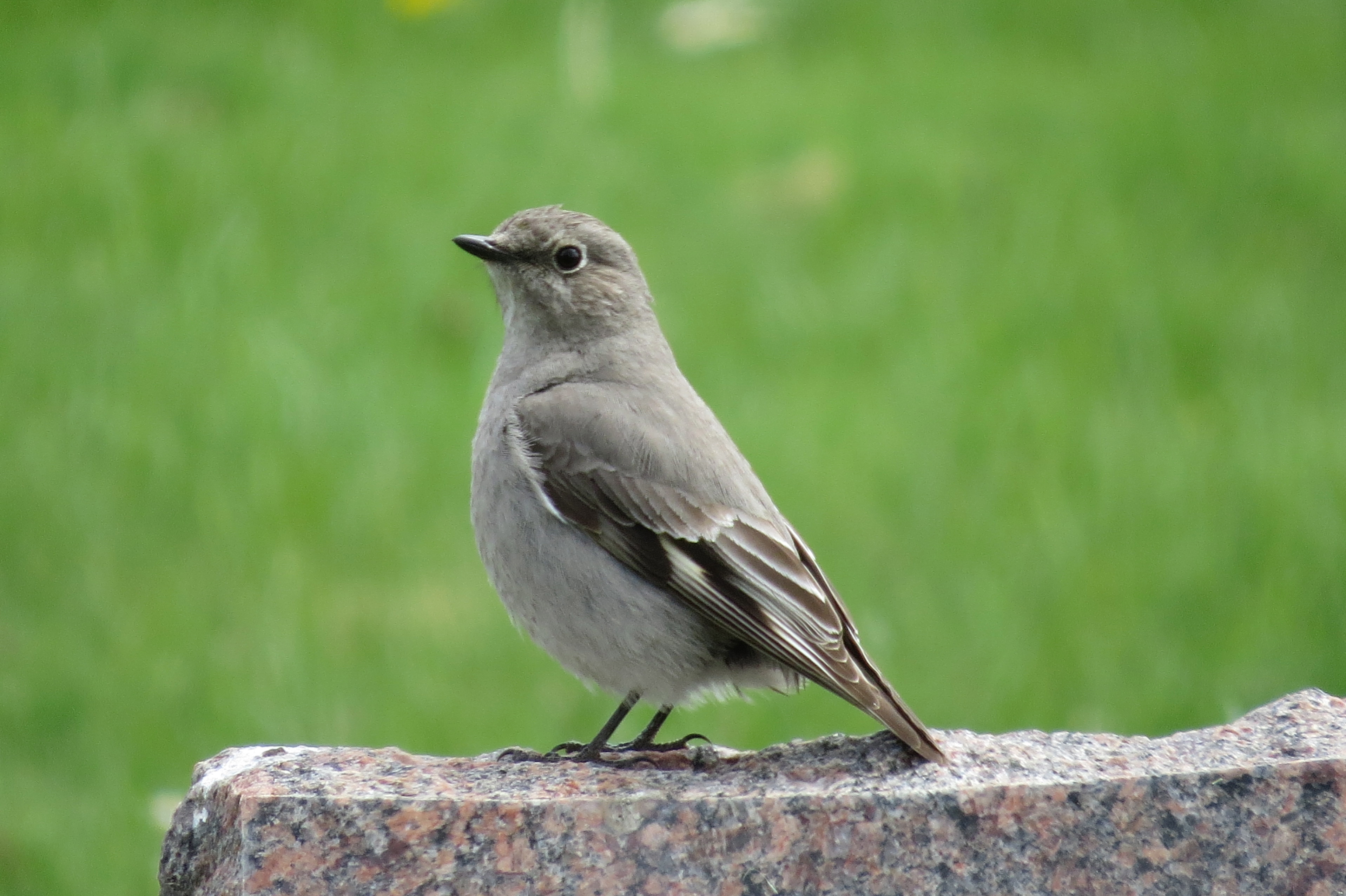
Townsend's Solitaire-Harrington, WA-4-30-2013
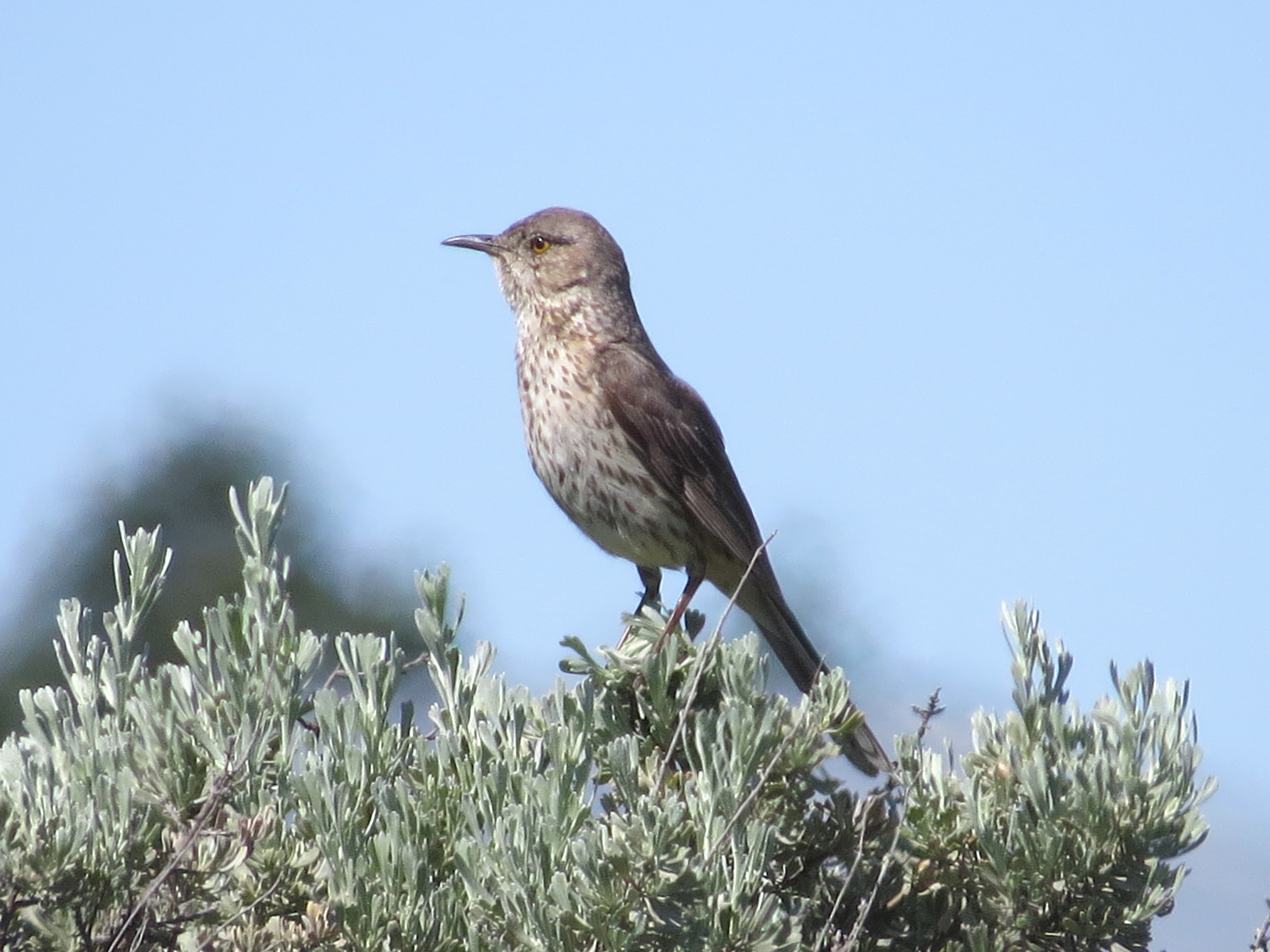
Sage Thrasher-Lincoln Co., WA-5-31-2013
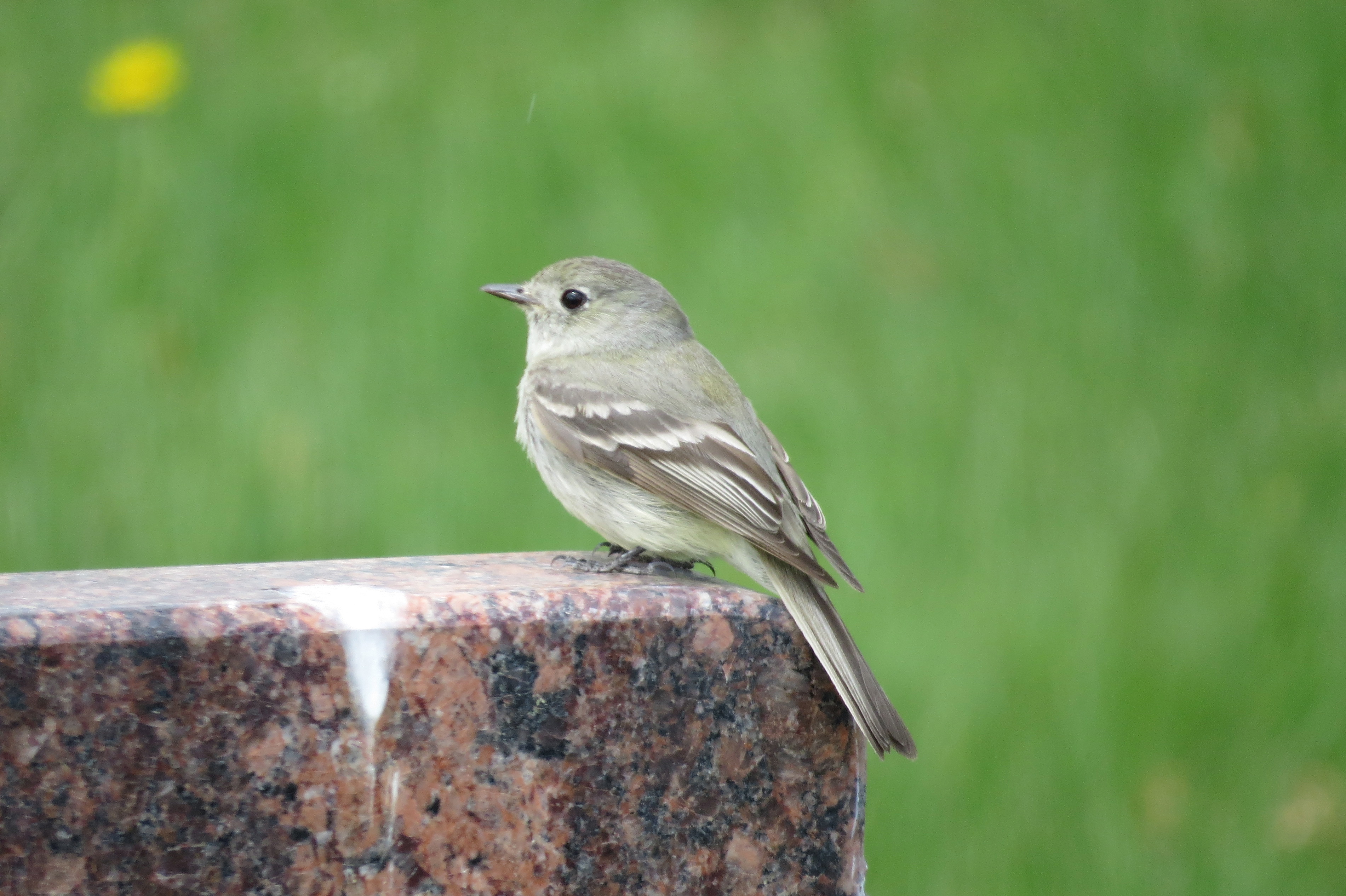
empidonax species-Harrington, WA-4-30-2013
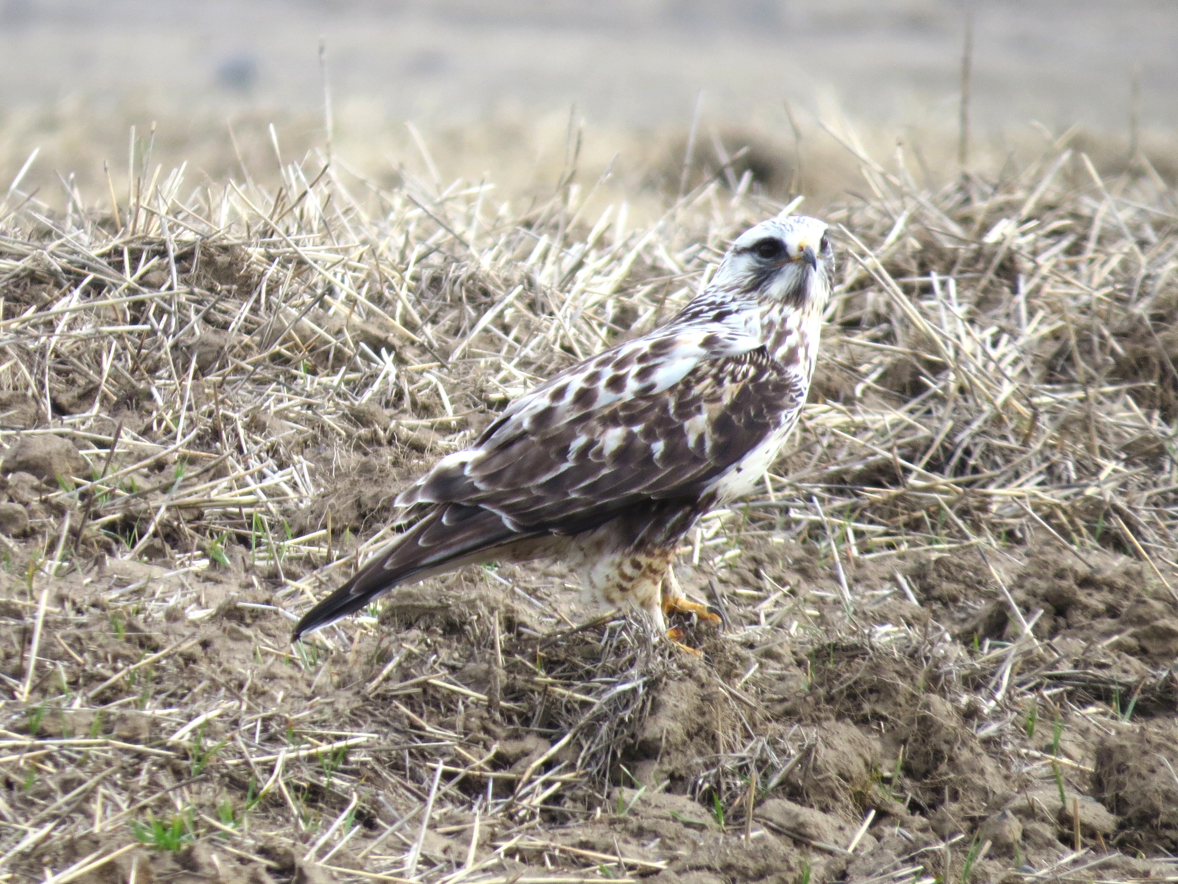
Rough-legged Hawk-Rocklyn, WA-3-14-2013
A Pacific Northwest Crush: A Dramatic Sunset (Part 50): A Traveling Valentine's Crush (In Technicolor)

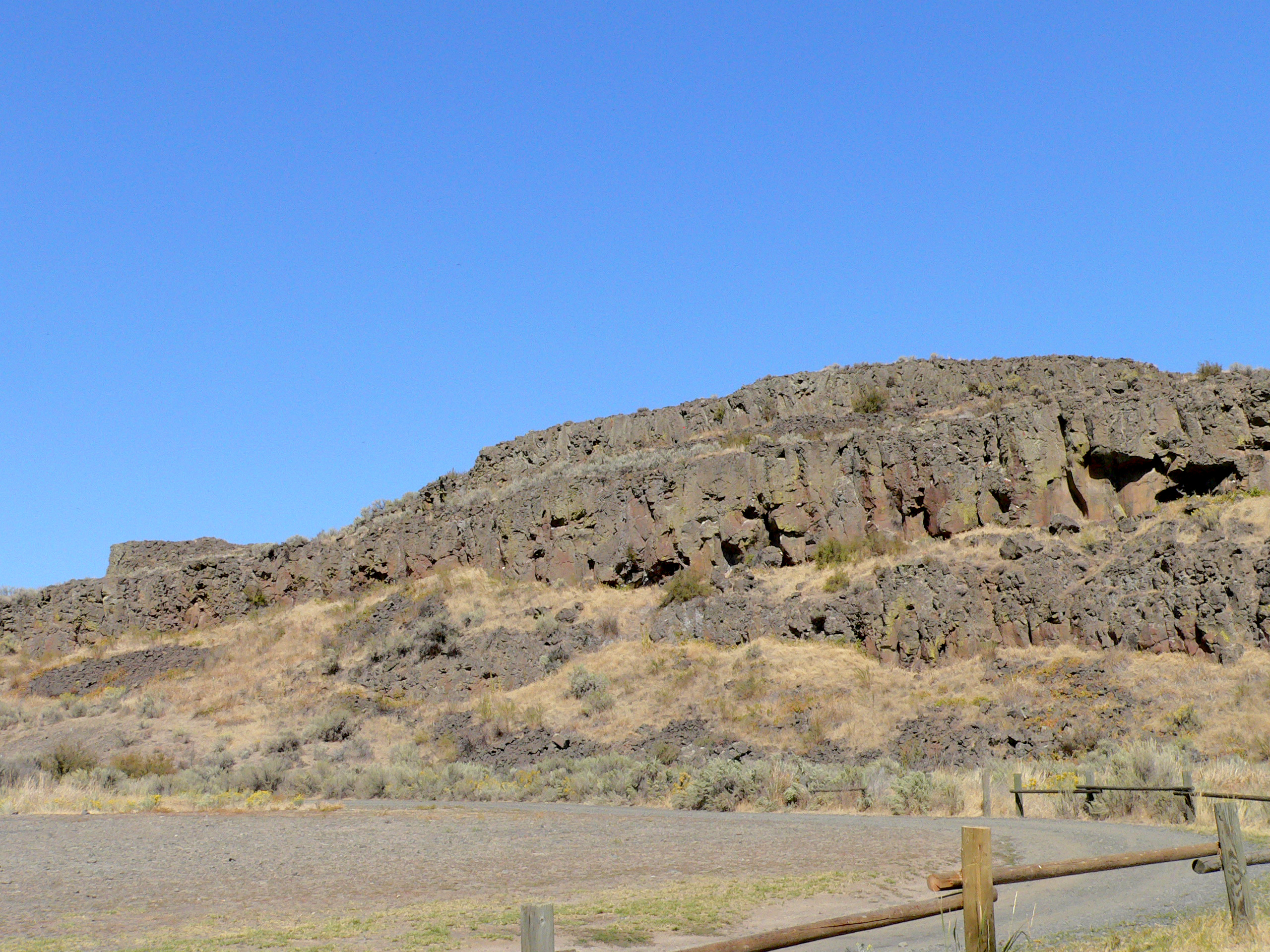
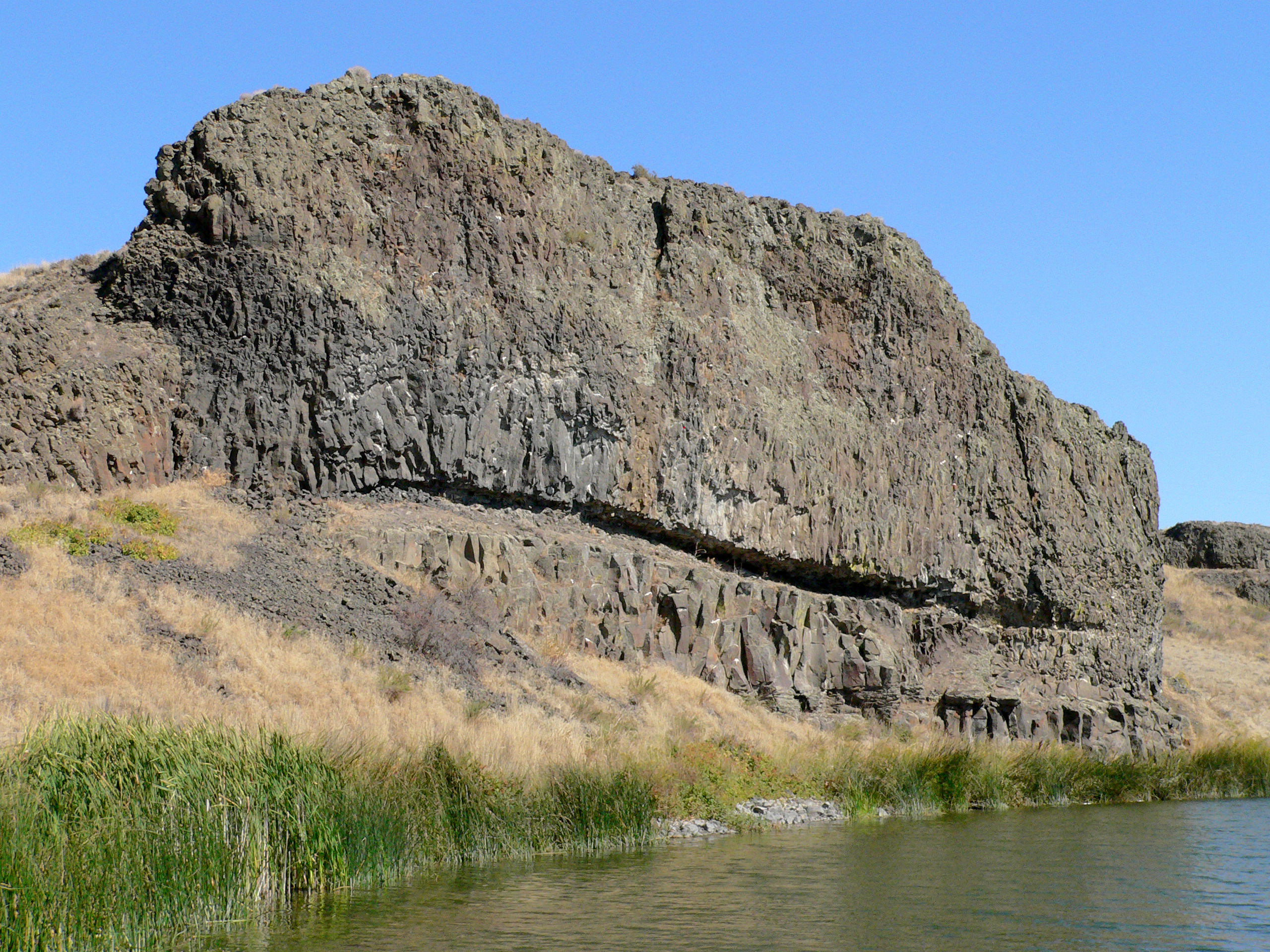
028-09 USA, Washington, Lincoln County, Channeled Scablands, Coffeepot Lake, Rock Outcrop
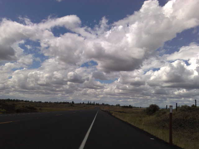
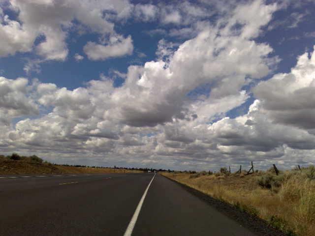
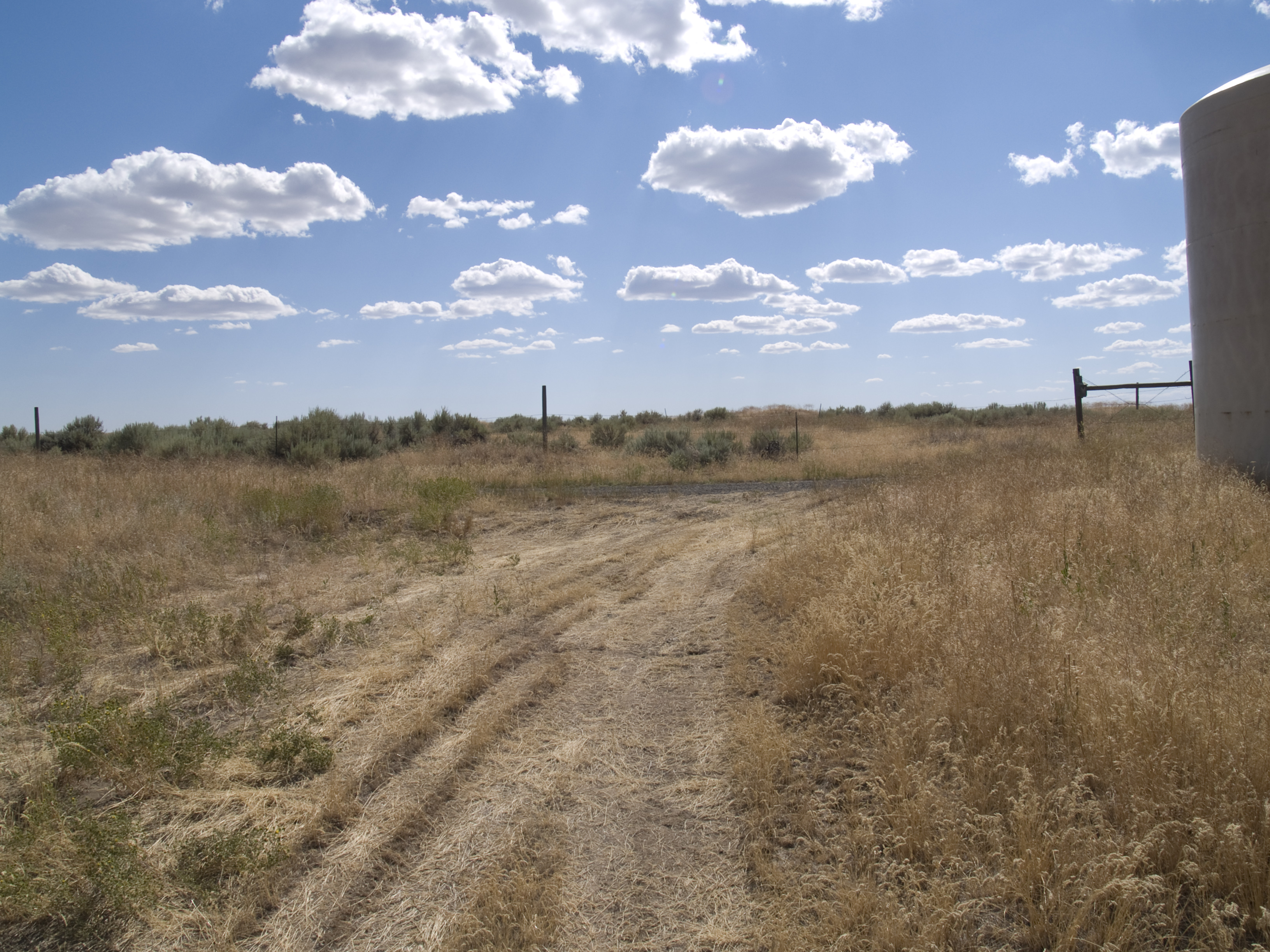
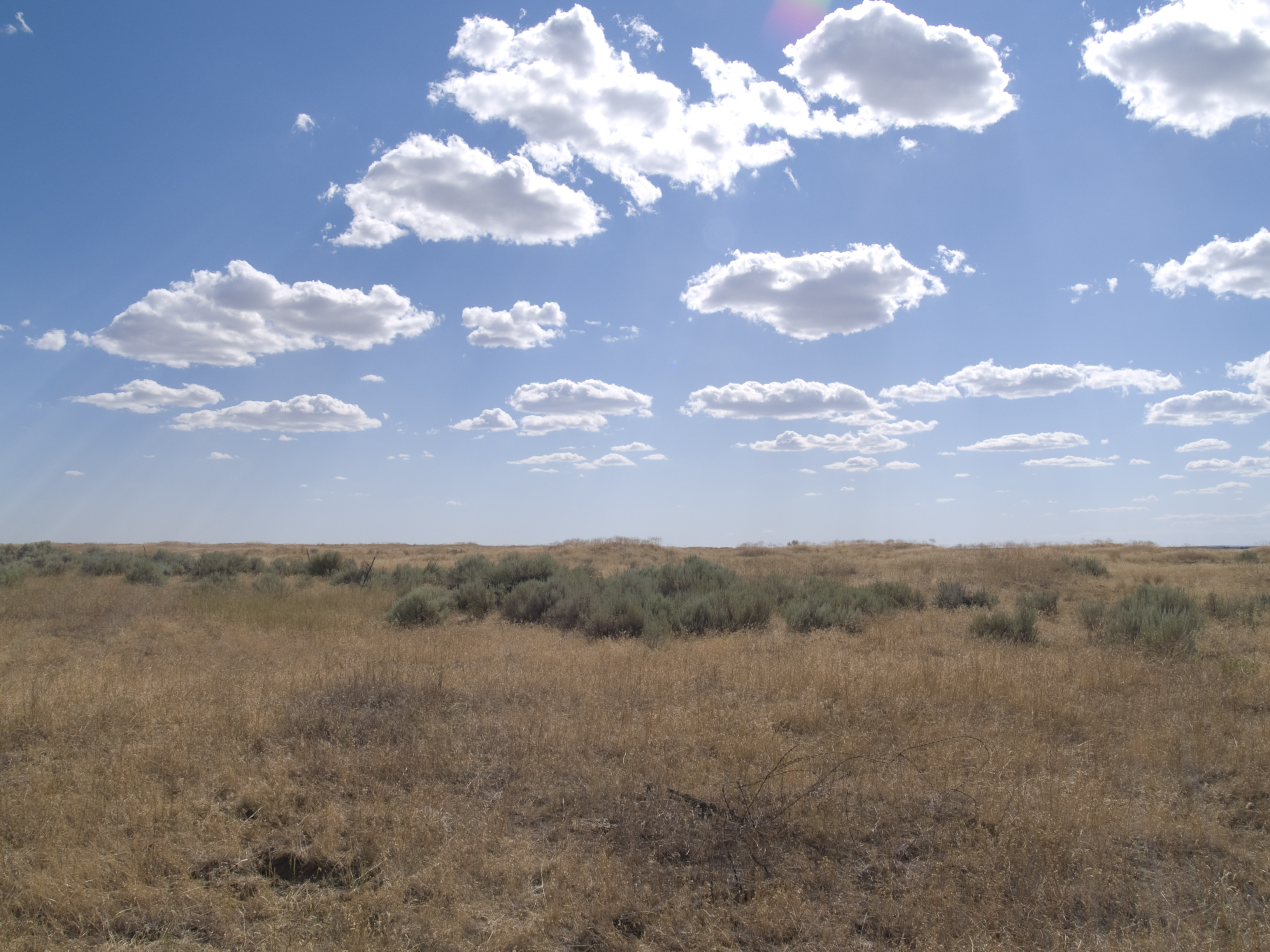
E Io che pensavo che nello stato di Washington ci fossero solo boschi. #us #washington #greatplains #grassland #sky #clouds #summer #sky
E Io che pensavo che nello stato di Washington ci fossero solo boschi. #us #washington #greatplains #grassland #sky #clouds #summer #holiday
E Io che pensavo che nello stato di Washington ci fossero solo boschi. #us #washington #greatplains #grassland #sky #clouds #summer #holiday
#us #washington #greatplains #grassland #sky #clouds #summer #holiday
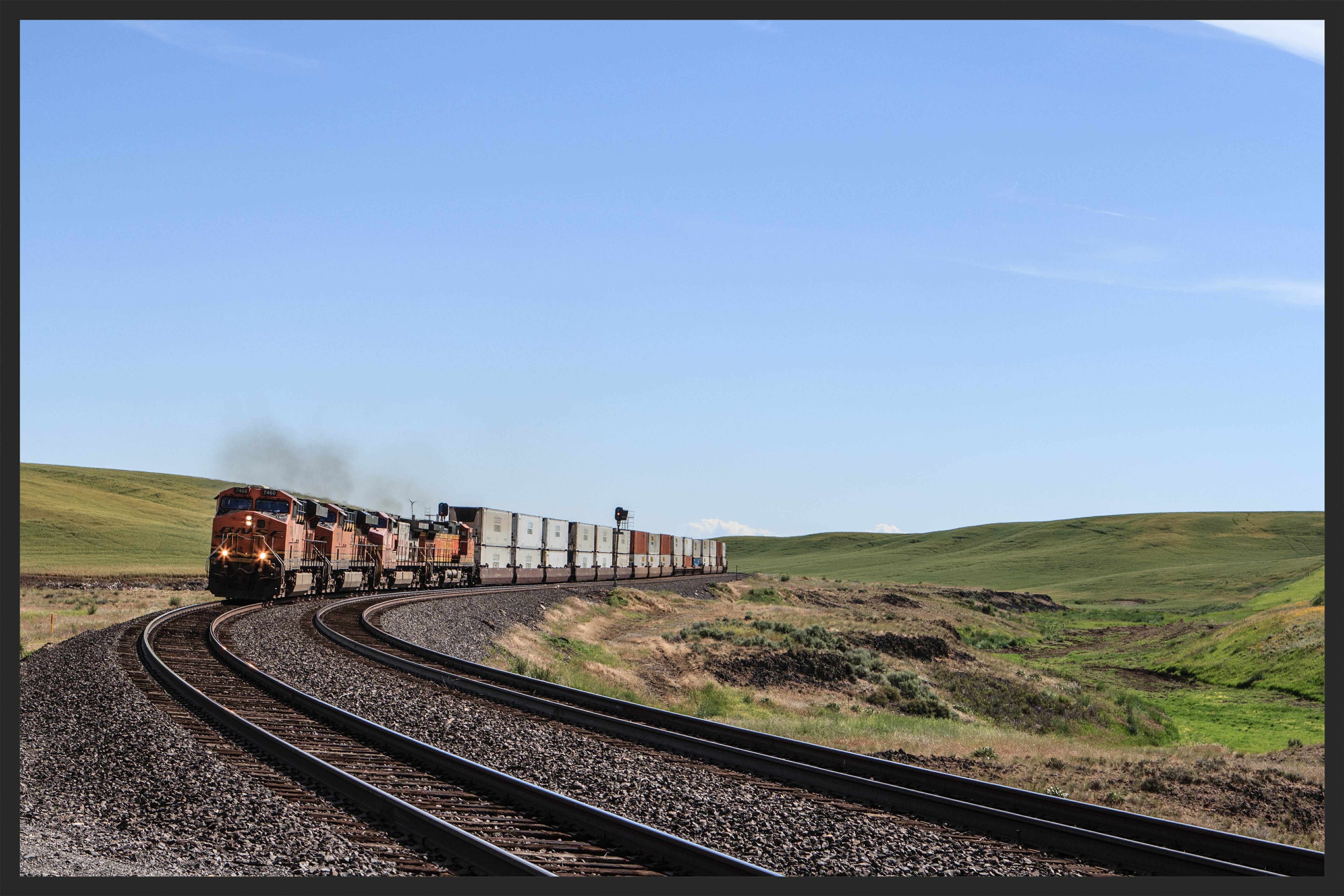
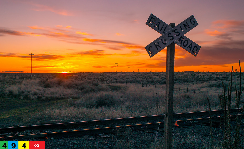
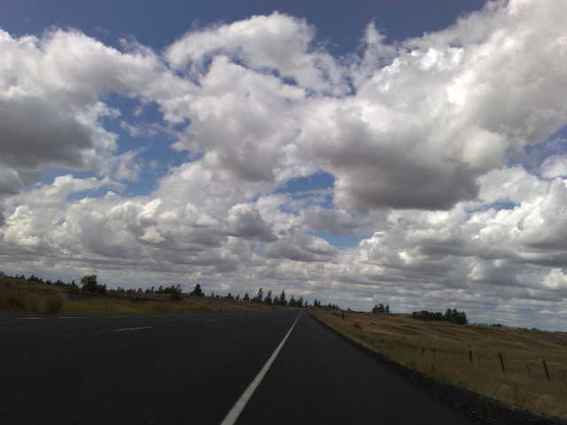
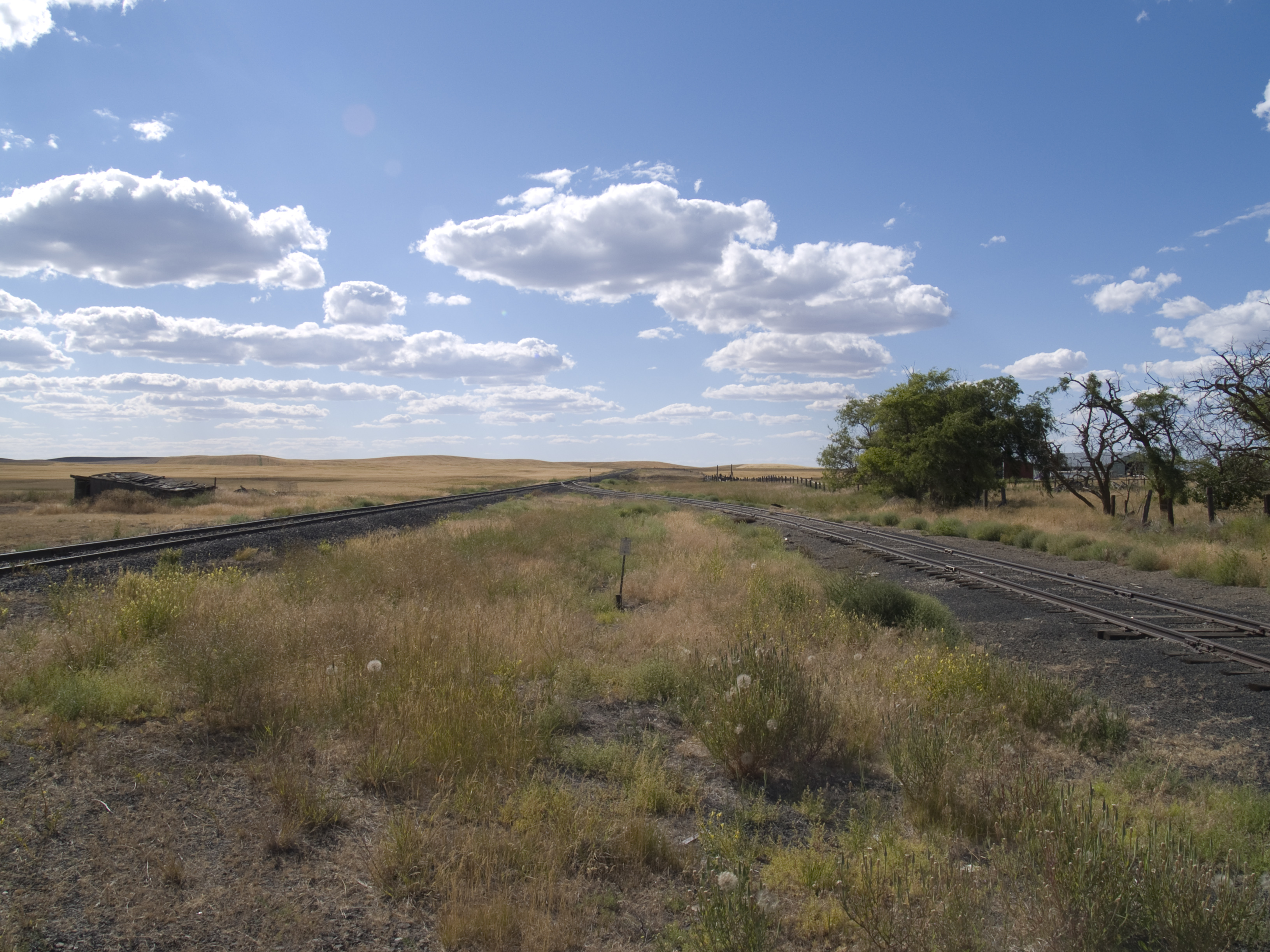
Time to Kill on the BNSF in WA.
Blue Steel took a picture!
Blue Steel took a picture!
Blue Steel took a picture!
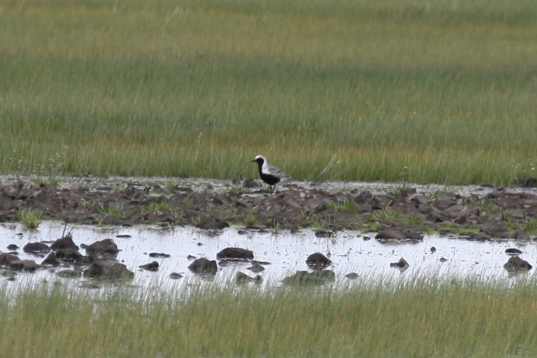
Black-bellied Plover-Lincoln Co., WA-5-1-2012
Earl, Washington
Earl, Washington
Rocklyn, Washington
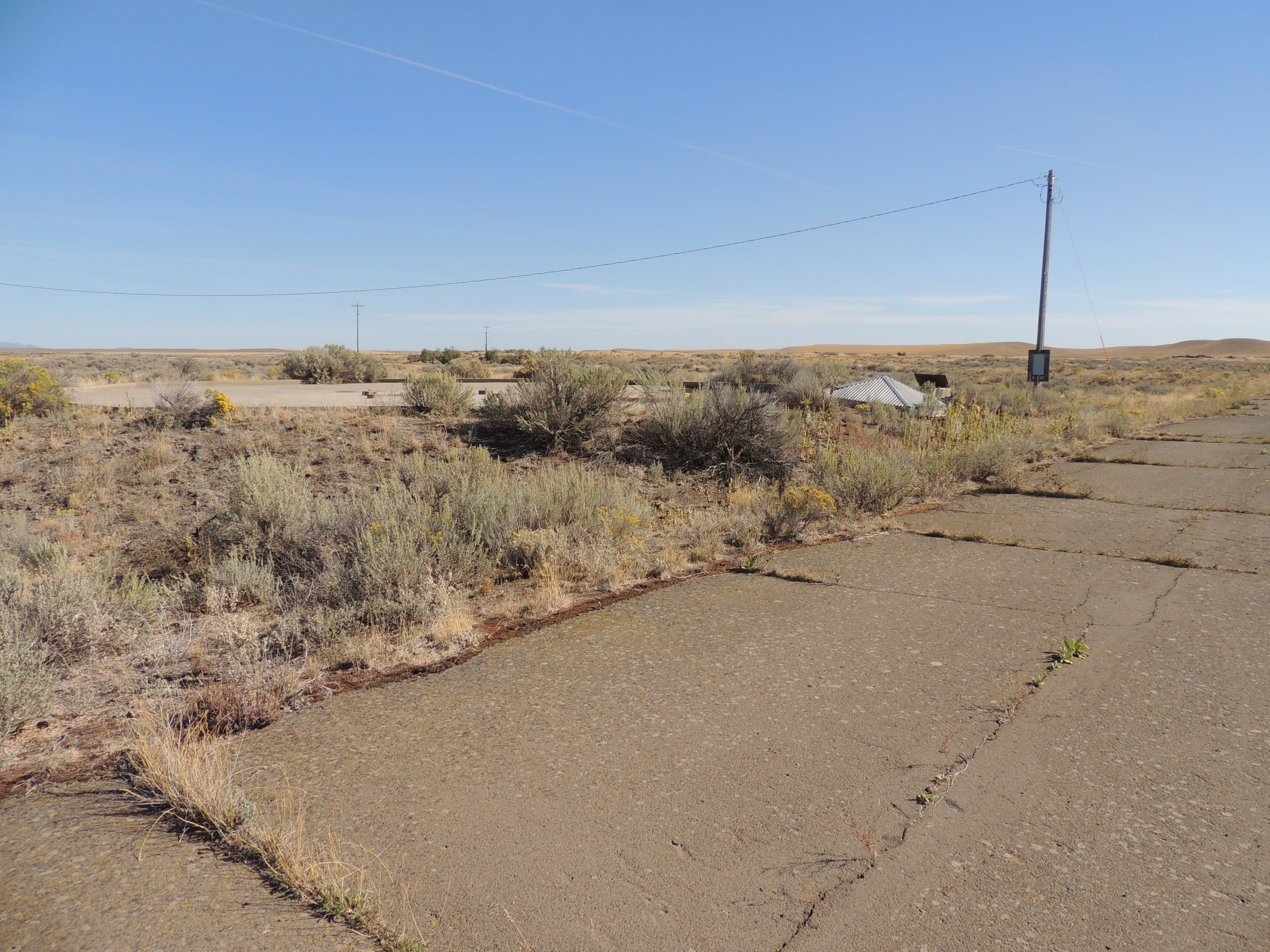
Missile Silo near Davenport Washington
029-07 2007 USA, Washington, Lincoln County, Channeled Scablands, Twin Lakes, Rocky Hill

028-08 USA, Washington, Lincoln County, Channeled Scablands, Coffeepot Lake, Rock Outcrop
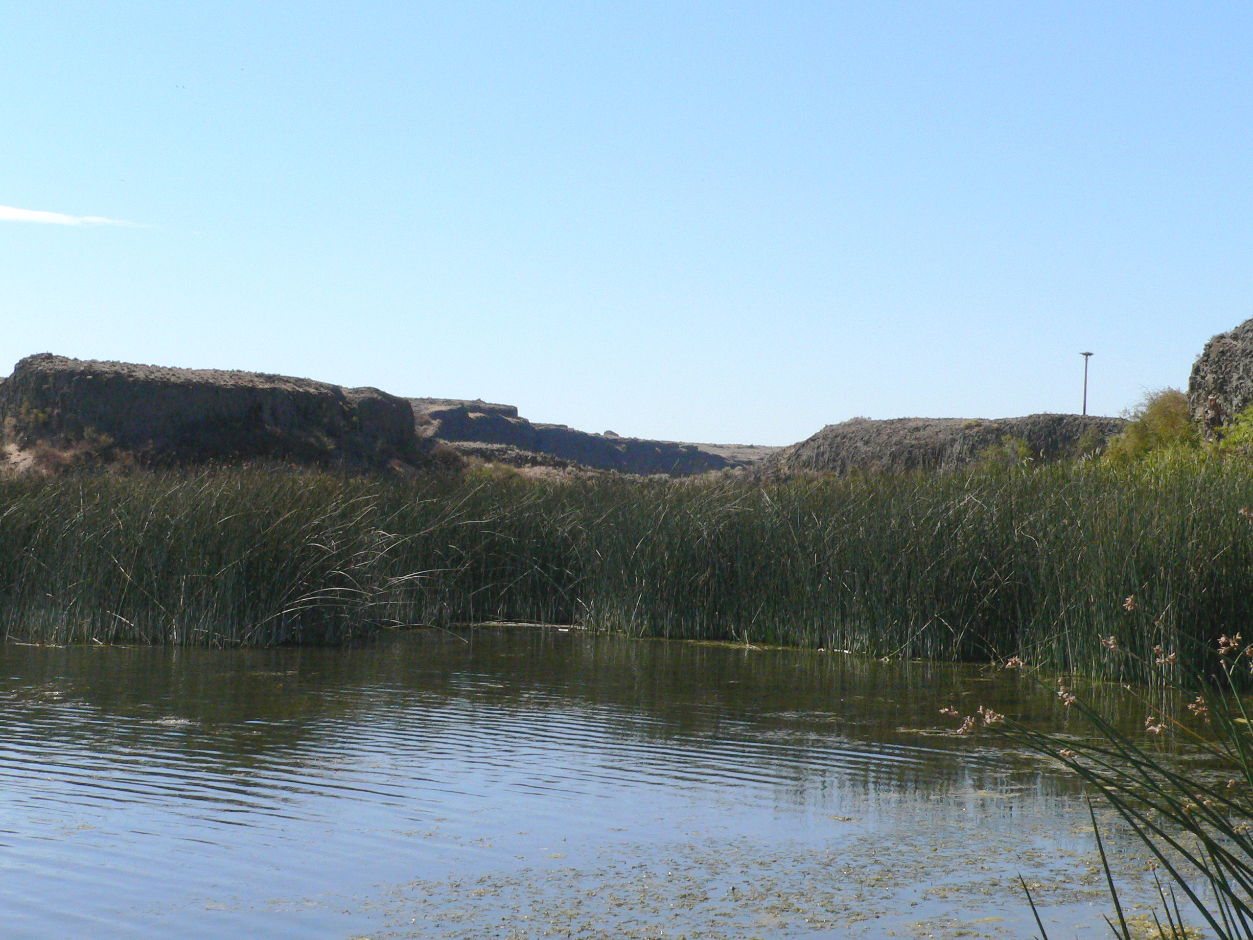
028-06 USA, Washington, Lincoln County, Channeled Scablands, Coffeepot Lake
028-05 USA, Washington, Lincoln County, Channeled Scablands, Coffeepot Lake, Snakehead Point
Topographic Map of Lamp Rd, Davenport, WA, USA
Find elevation by address:

Places near Lamp Rd, Davenport, WA, USA:
Lincoln County
Harrington
Rocklyn
Twin Lakes
Davenport, WA, USA
20450 Coffee Pot Rd E
31998 Hawk Creek Ranch Rd N
Coffeepot Lake
34565 Partridge Ln N
34830 Partridge Ln N
Davenport
1405 3rd St
Odessa
20 W 1st Ave, Odessa, WA, USA
Wilbur
East Templin Road
Ritzville
Lind
36750 Old Coulee Rd
36800 Old Coulee Rd
Recent Searches:
- Elevation of Elwyn Dr, Roanoke Rapids, NC, USA
- Elevation of Congressional Dr, Stevensville, MD, USA
- Elevation of Bellview Rd, McLean, VA, USA
- Elevation of Stage Island Rd, Chatham, MA, USA
- Elevation of Shibuya Scramble Crossing, 21 Udagawacho, Shibuya City, Tokyo -, Japan
- Elevation of Jadagoniai, Kaunas District Municipality, Lithuania
- Elevation of Pagonija rock, Kranto 7-oji g. 8"N, Kaunas, Lithuania
- Elevation of Co Rd 87, Jamestown, CO, USA
- Elevation of Tenjo, Cundinamarca, Colombia
- Elevation of Côte-des-Neiges, Montreal, QC H4A 3J6, Canada