Elevation of 20 W 1st Ave, Odessa, WA, USA
Location: United States > Washington > Lincoln County >
Longitude: -118.69112
Latitude: 47.33338
Elevation: 472m / 1549feet
Barometric Pressure: 96KPa
Elevation Map:
Satellite Map:
Related Photos:
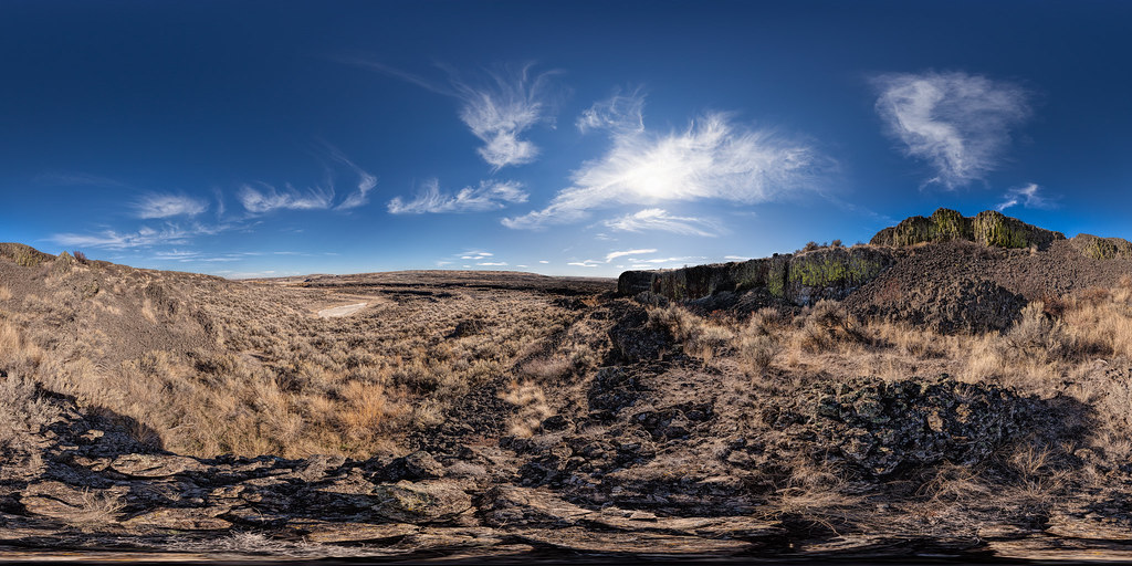
Volcano! (former)

The Eye of the Storm

Nothing But Blue Skies From Now On...
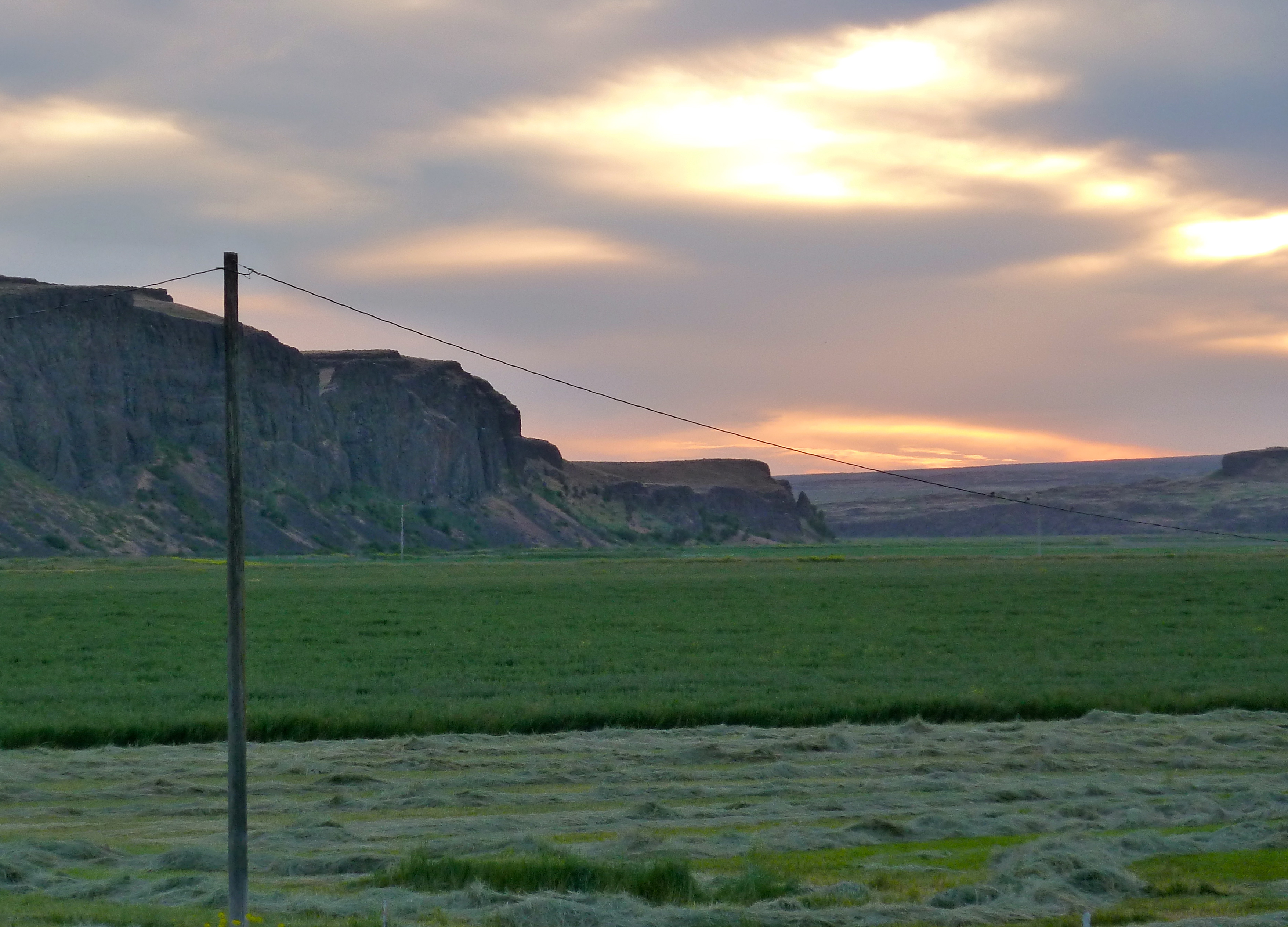
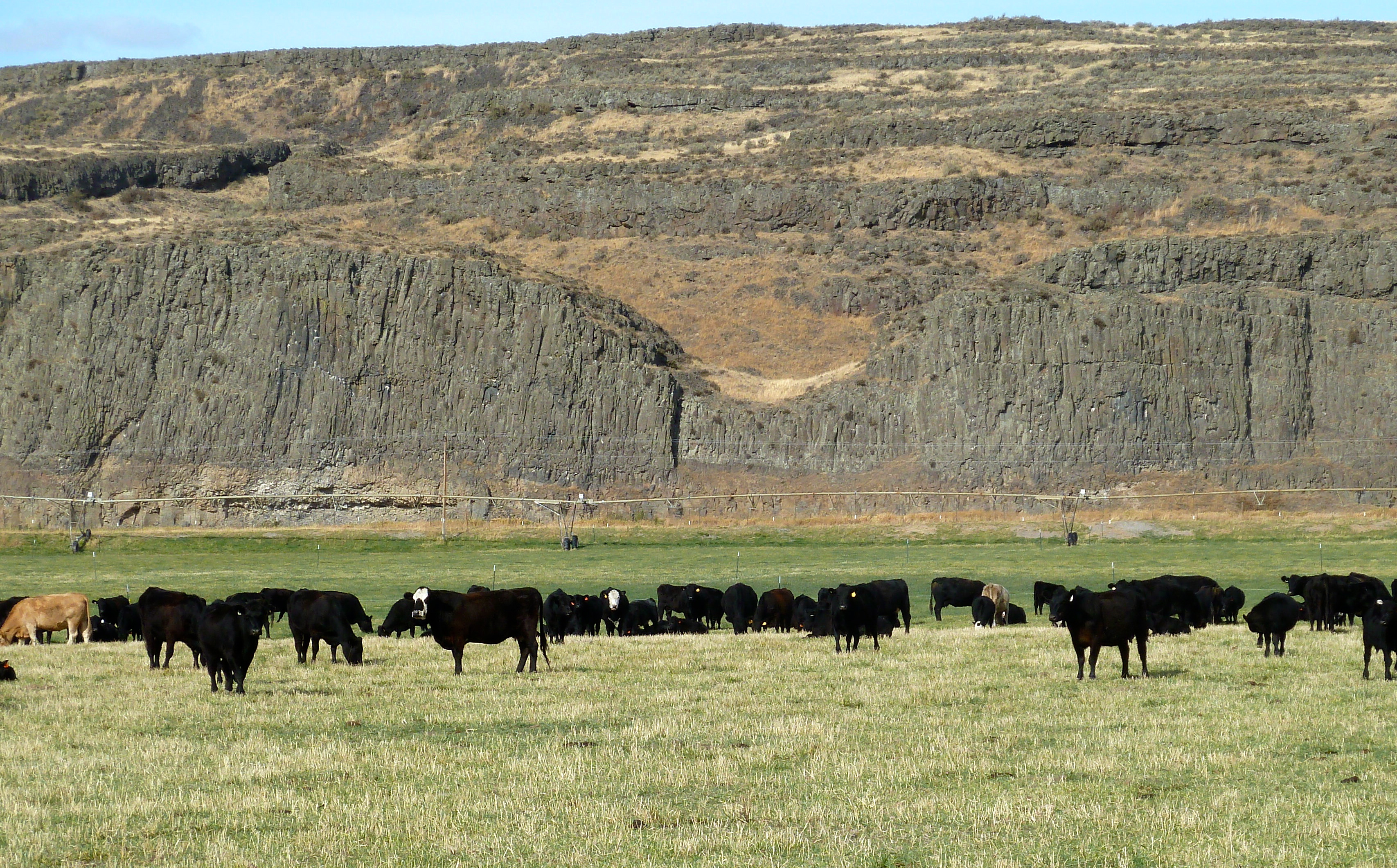
Basalt cliffs behind the hay field

the sun is rising

October Sky
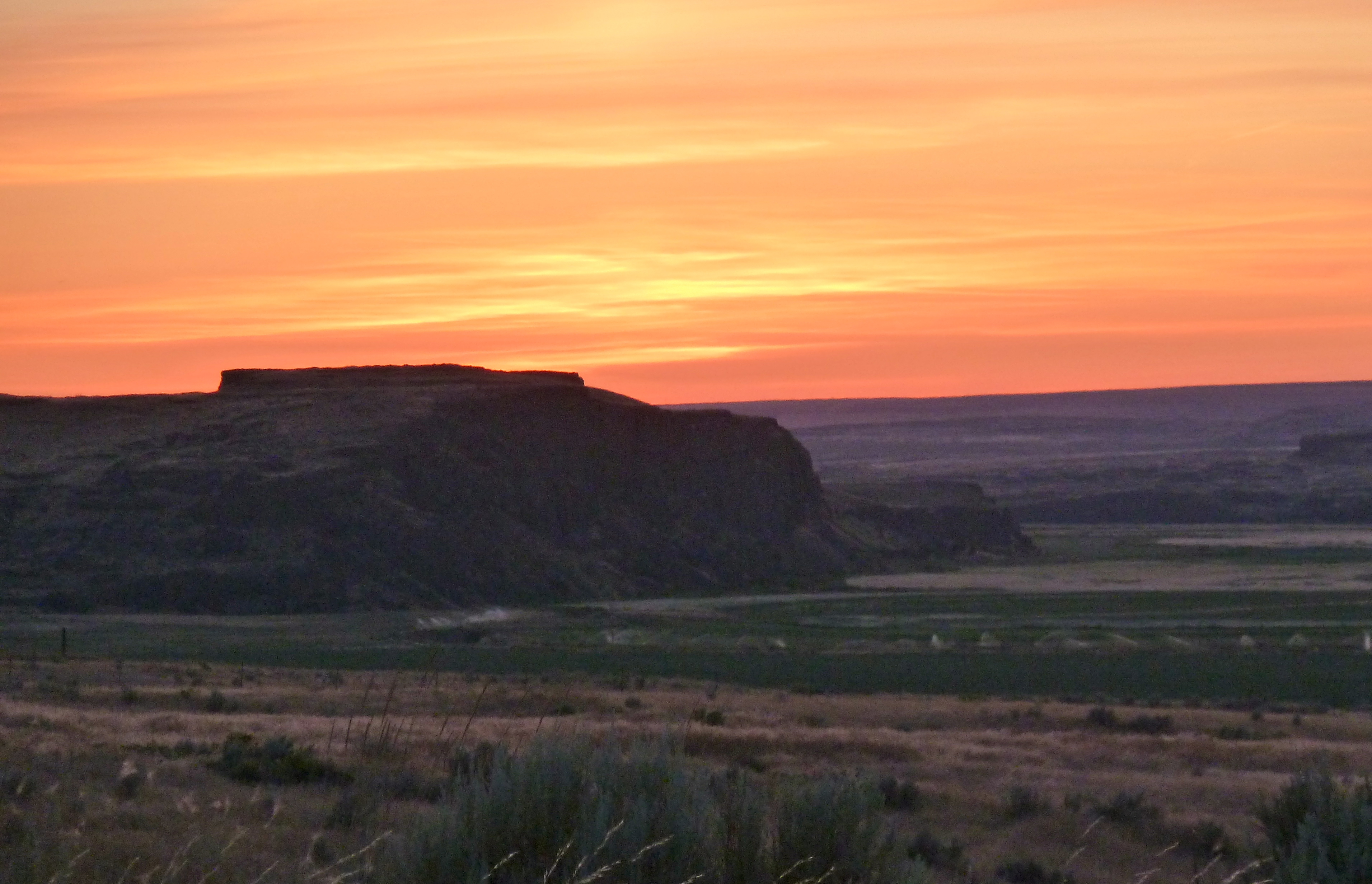
Sunset over the valley

Hay field

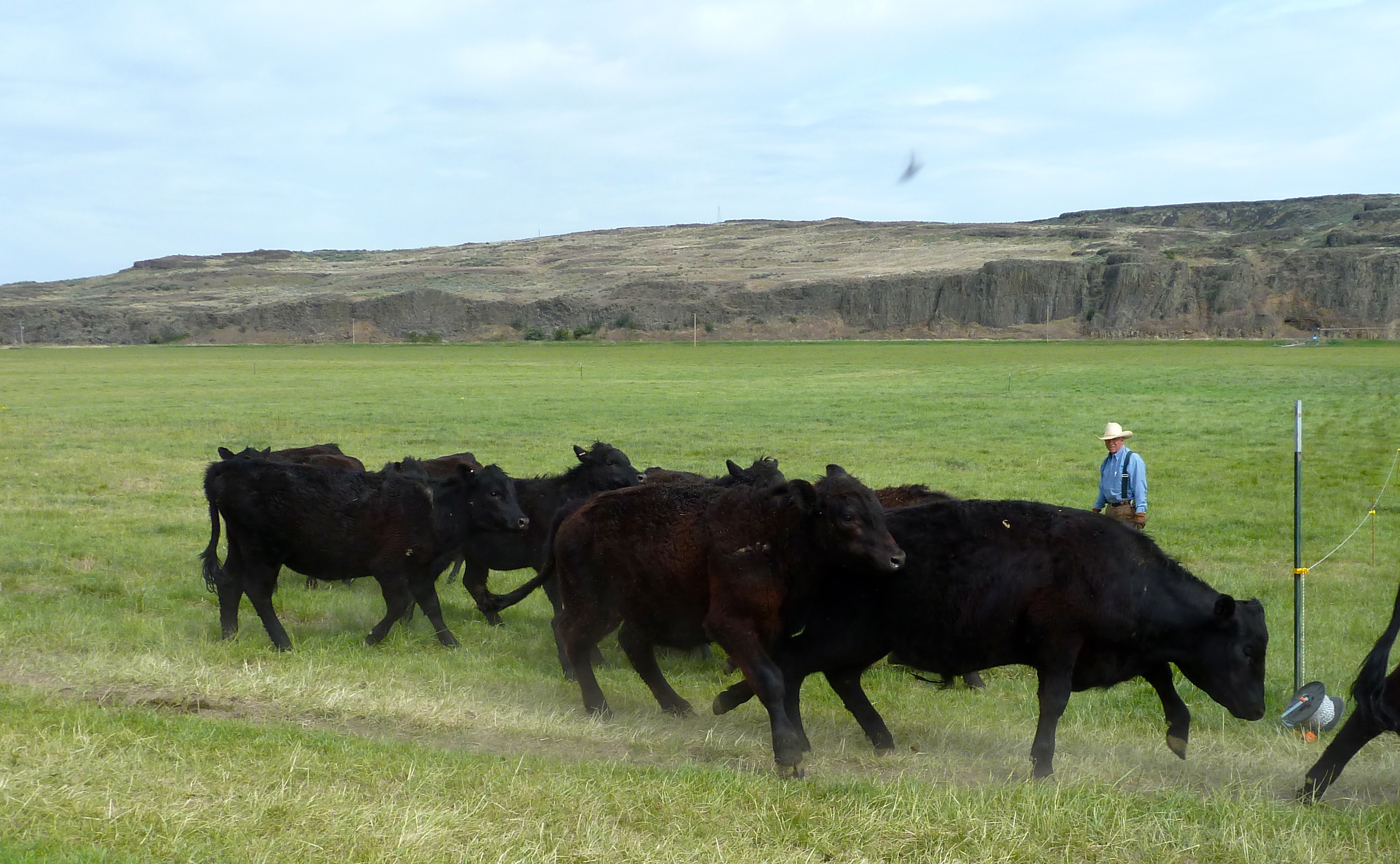
Sage running equipment out to Uncle Dude
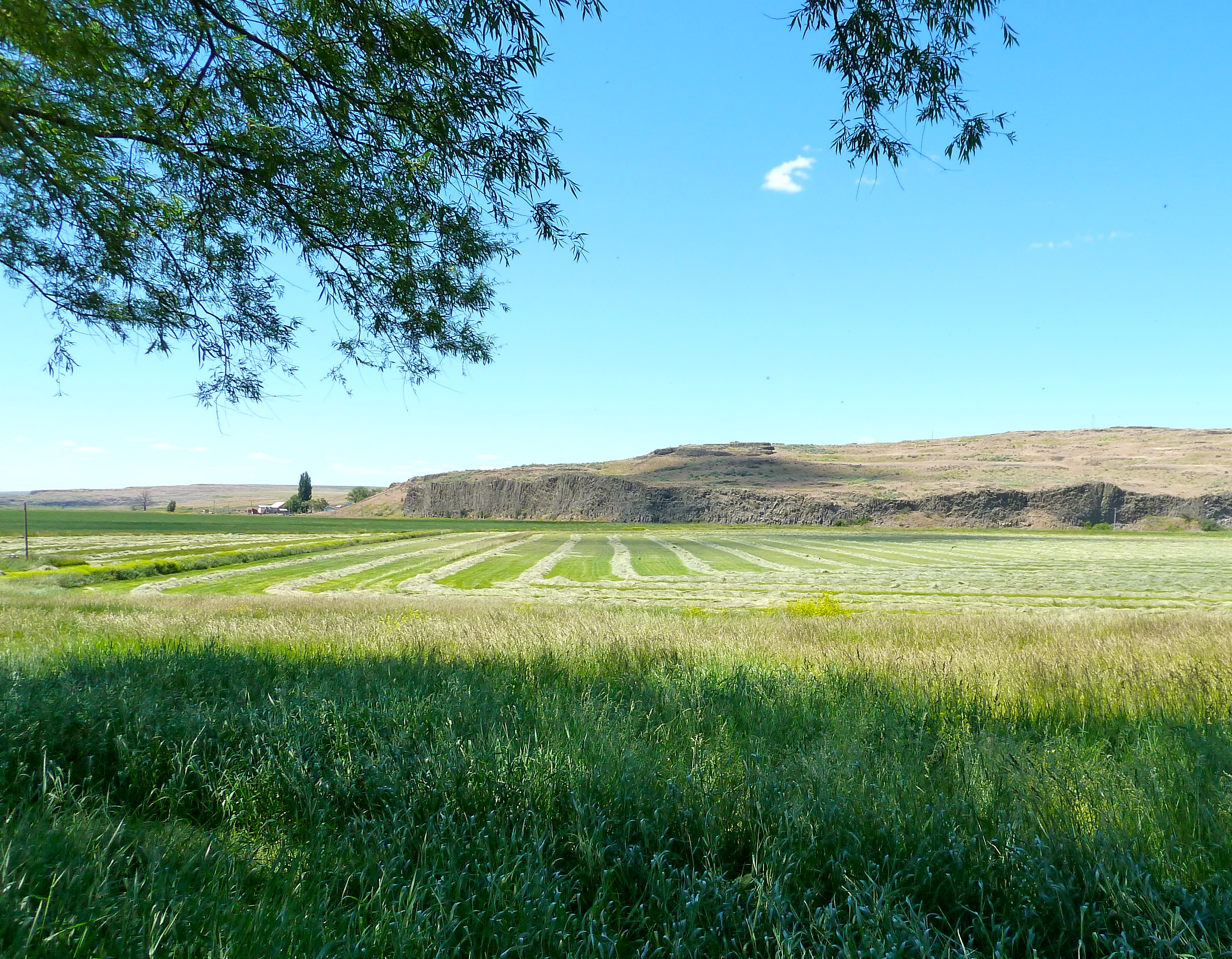
Hay rows

Ranch in October
sunrise over schoonover 002
It's a ranch!
The valley

barn, crops and sunrise
Odessa blues
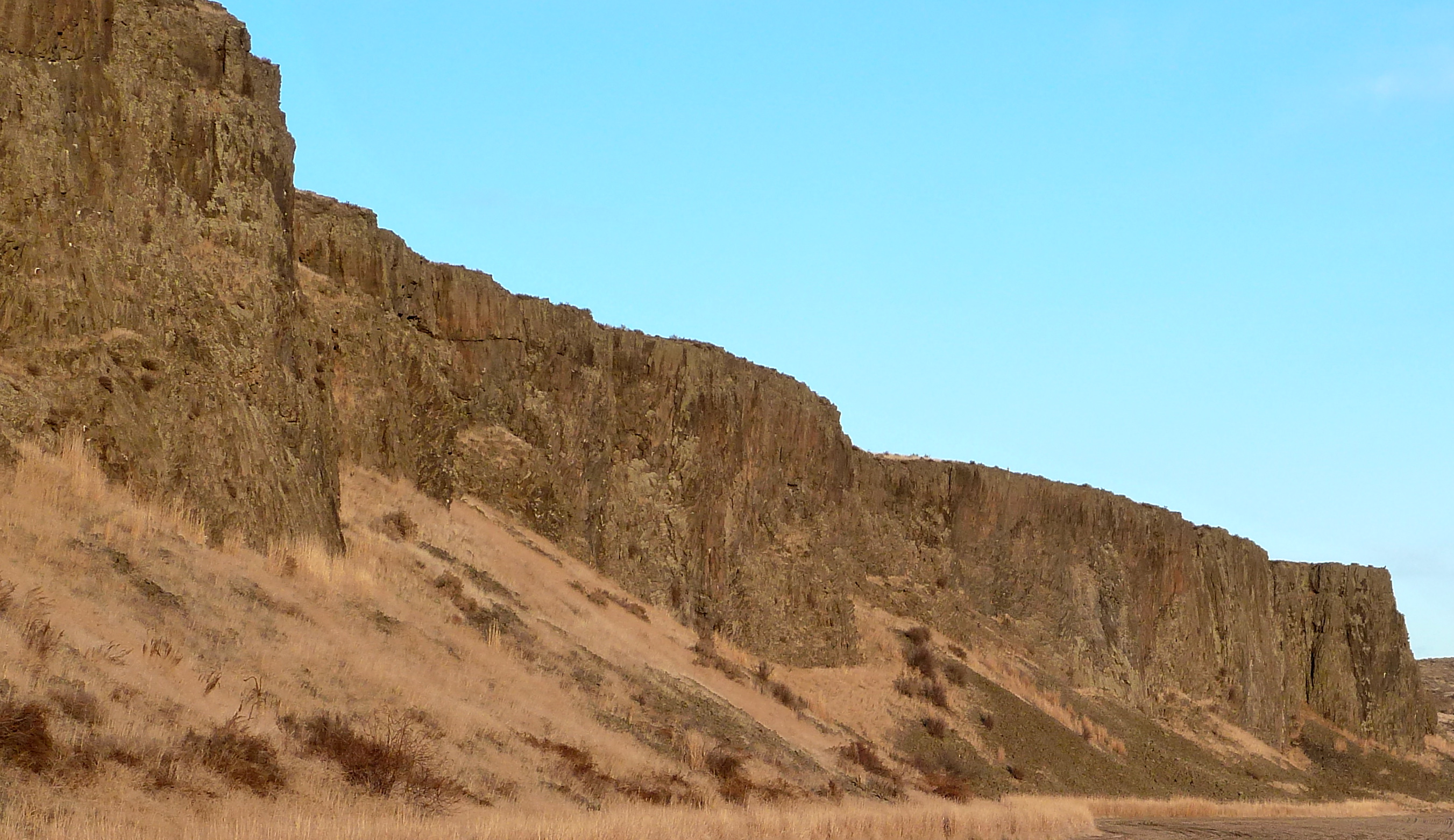
Basalt cliffs
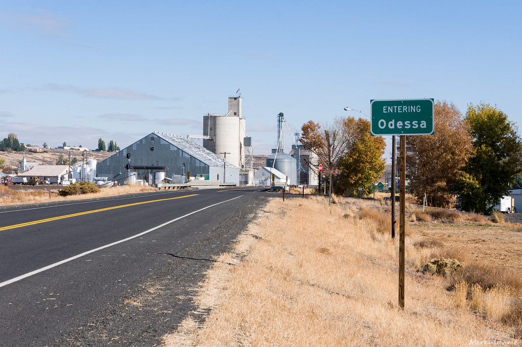
Odessa, WA
Enjoying the last of the grass

Three amigos
Run!
Topographic Map of 20 W 1st Ave, Odessa, WA, USA
Find elevation by address:

Places near 20 W 1st Ave, Odessa, WA, USA:
Odessa
Coffeepot Lake
20450 Coffee Pot Rd E
Twin Lakes
Lincoln County
Marlin
Krupp
High St, Marlin, WA, USA
Lind
Ritzville
East Templin Road
Lamp Rd, Davenport, WA, USA
Wilbur
Wilson Creek
Adams County
Harrington
Rocklyn
Braeburn Pl NW, Soap Lake, WA, USA
2nd St NE, Moses Lake, WA, USA
Wheeler
Recent Searches:
- Elevation of Lampiasi St, Sarasota, FL, USA
- Elevation of Elwyn Dr, Roanoke Rapids, NC, USA
- Elevation of Congressional Dr, Stevensville, MD, USA
- Elevation of Bellview Rd, McLean, VA, USA
- Elevation of Stage Island Rd, Chatham, MA, USA
- Elevation of Shibuya Scramble Crossing, 21 Udagawacho, Shibuya City, Tokyo -, Japan
- Elevation of Jadagoniai, Kaunas District Municipality, Lithuania
- Elevation of Pagonija rock, Kranto 7-oji g. 8"N, Kaunas, Lithuania
- Elevation of Co Rd 87, Jamestown, CO, USA
- Elevation of Tenjo, Cundinamarca, Colombia