Elevation of Hatton, WA, USA
Location: United States > Washington > Adams County >
Longitude: -118.82638
Latitude: 46.7759744
Elevation: 327m / 1073feet
Barometric Pressure: 97KPa
Elevation Map:
Satellite Map:
Related Photos:
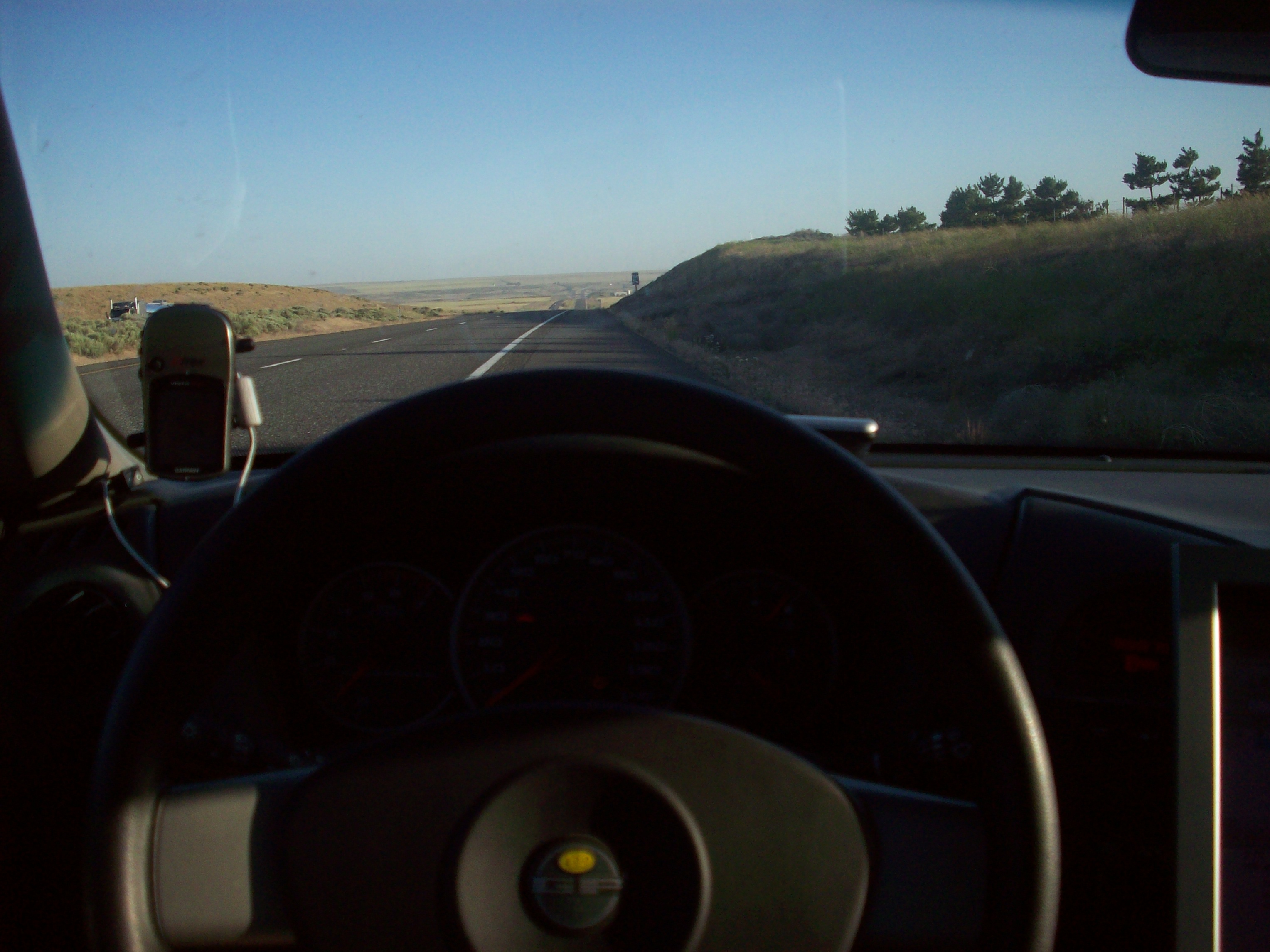
Gps and view

Tree Farm

Drive Hard

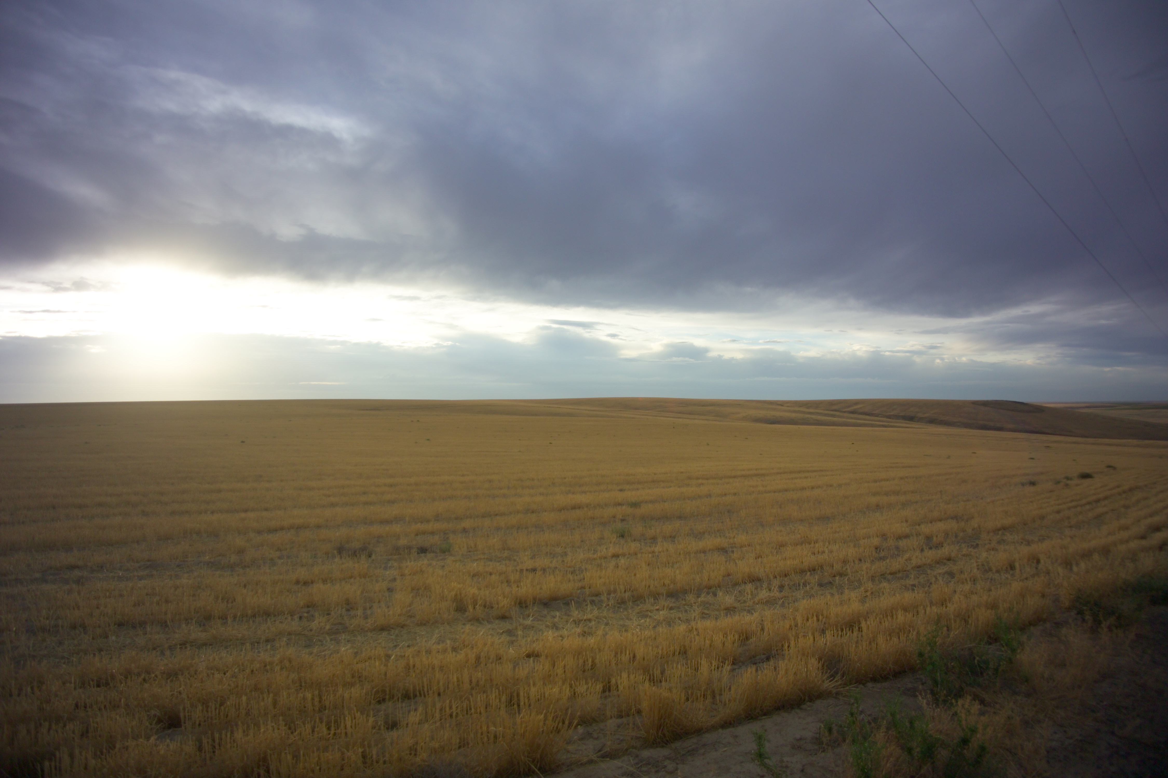
High Desert Morning
Near Servia, Washington
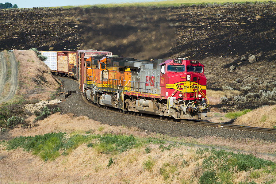
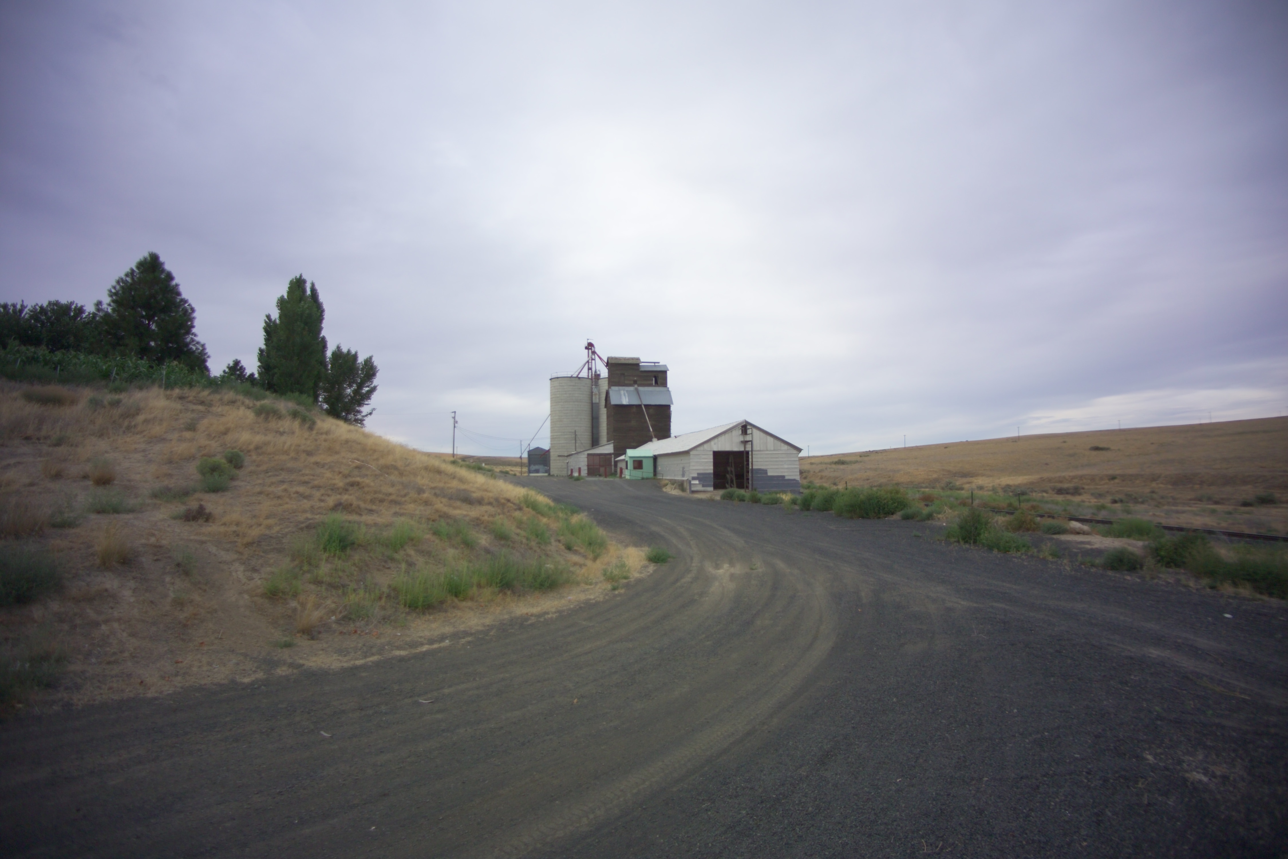
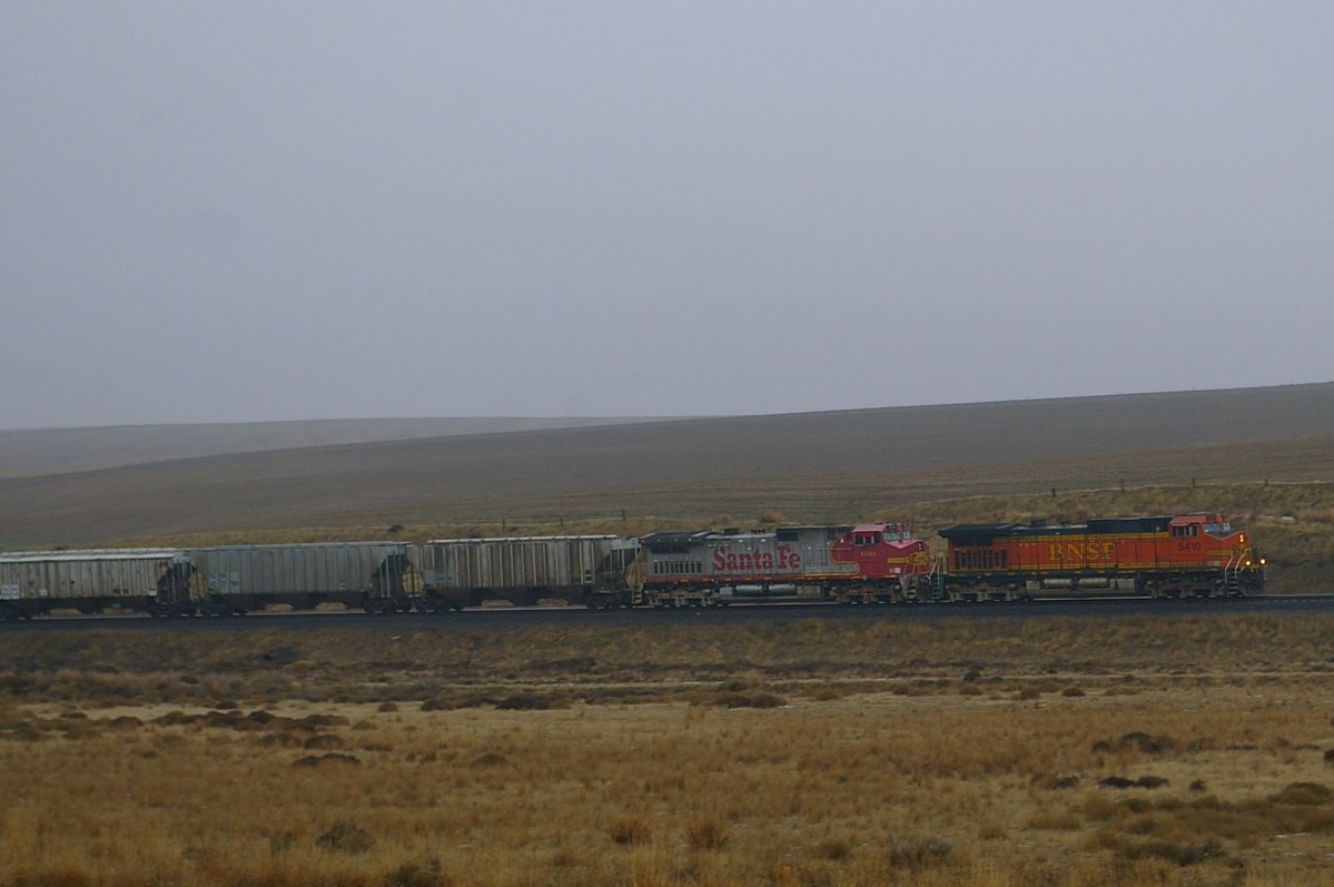
Normal Ops
Schlomer, Washington
Schlomer, Washington
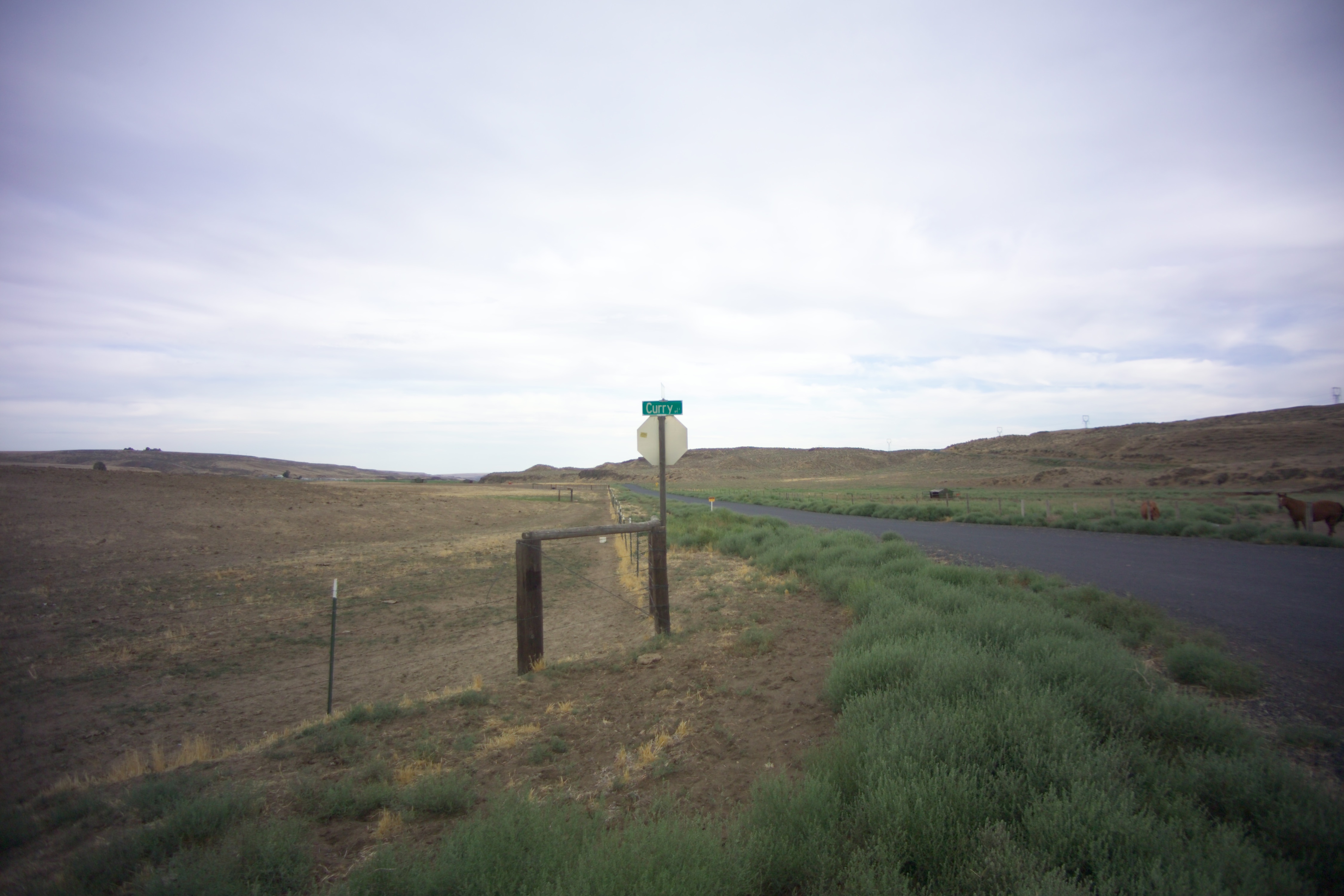
Curry, Washington
Schlomer, Washington
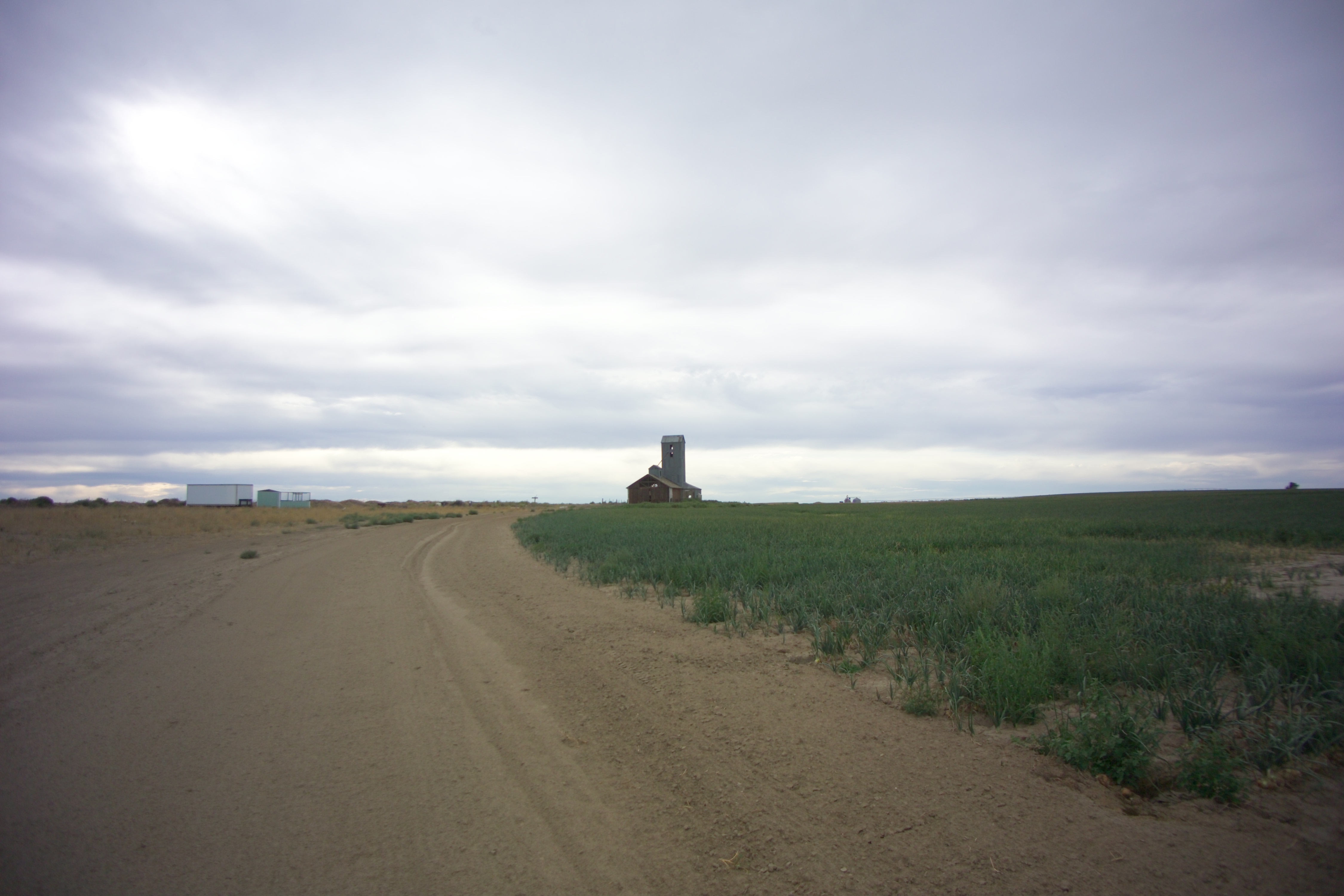
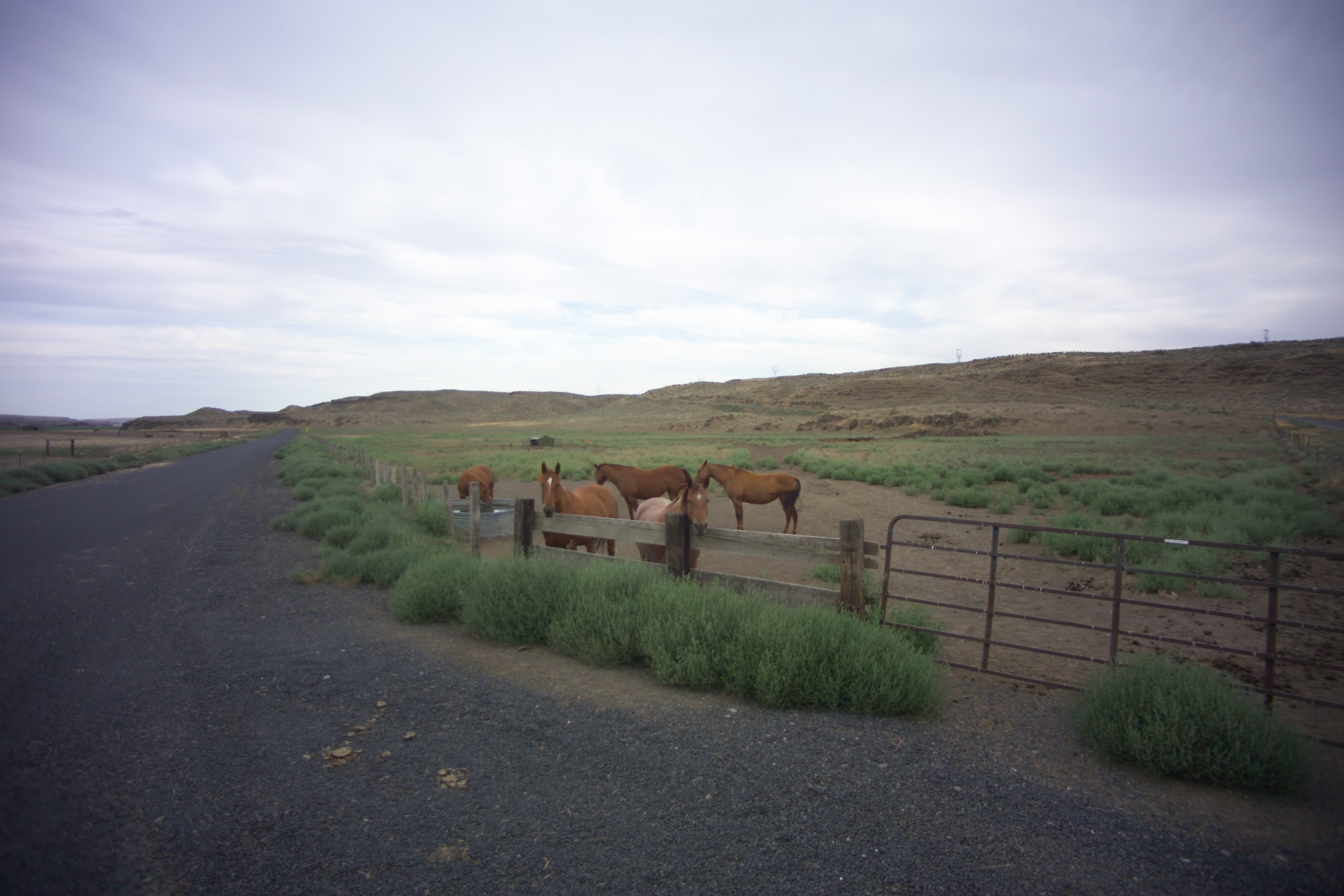
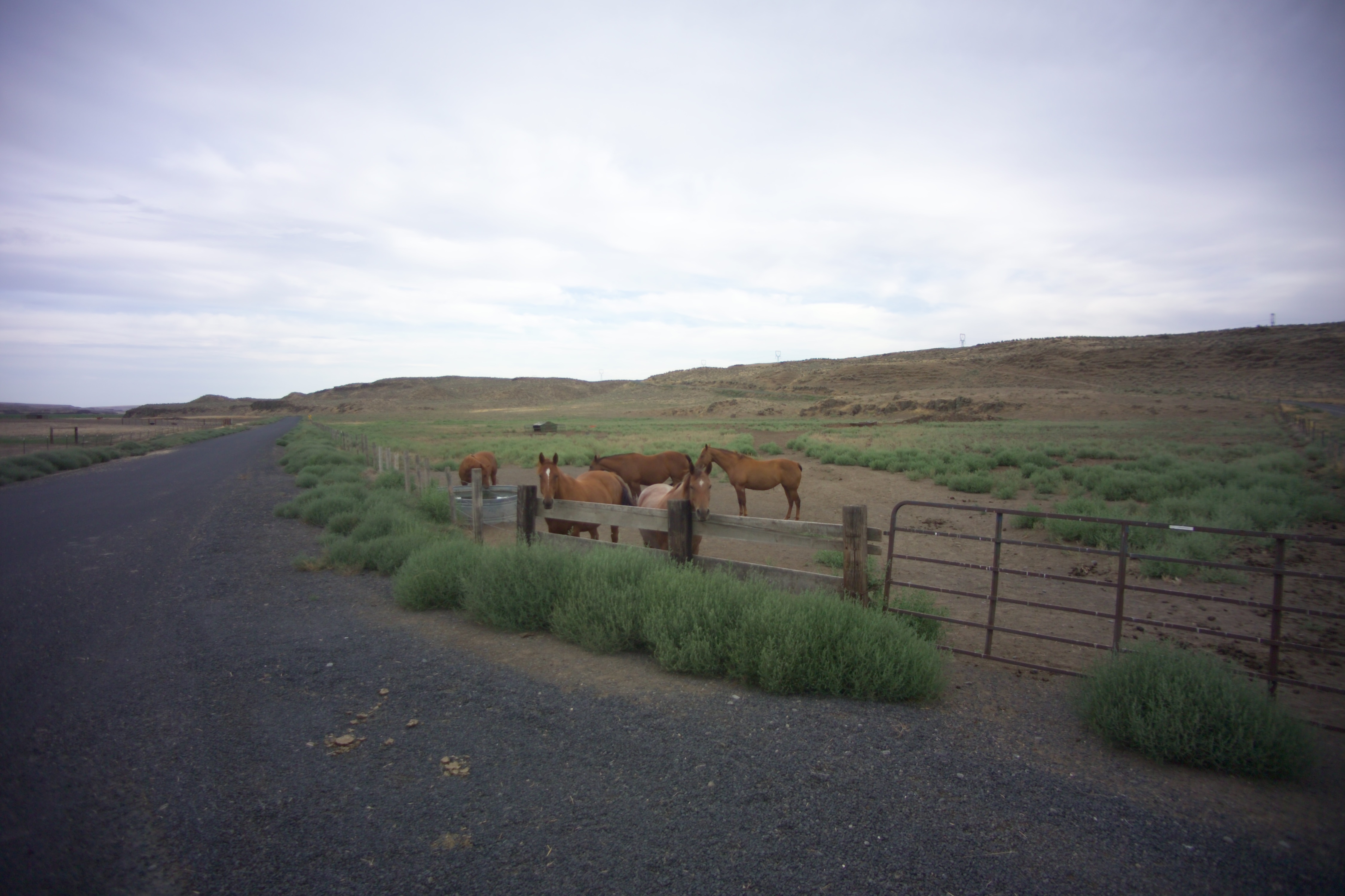
Hatton, Washington
Curry, Washington
Curry, Washington
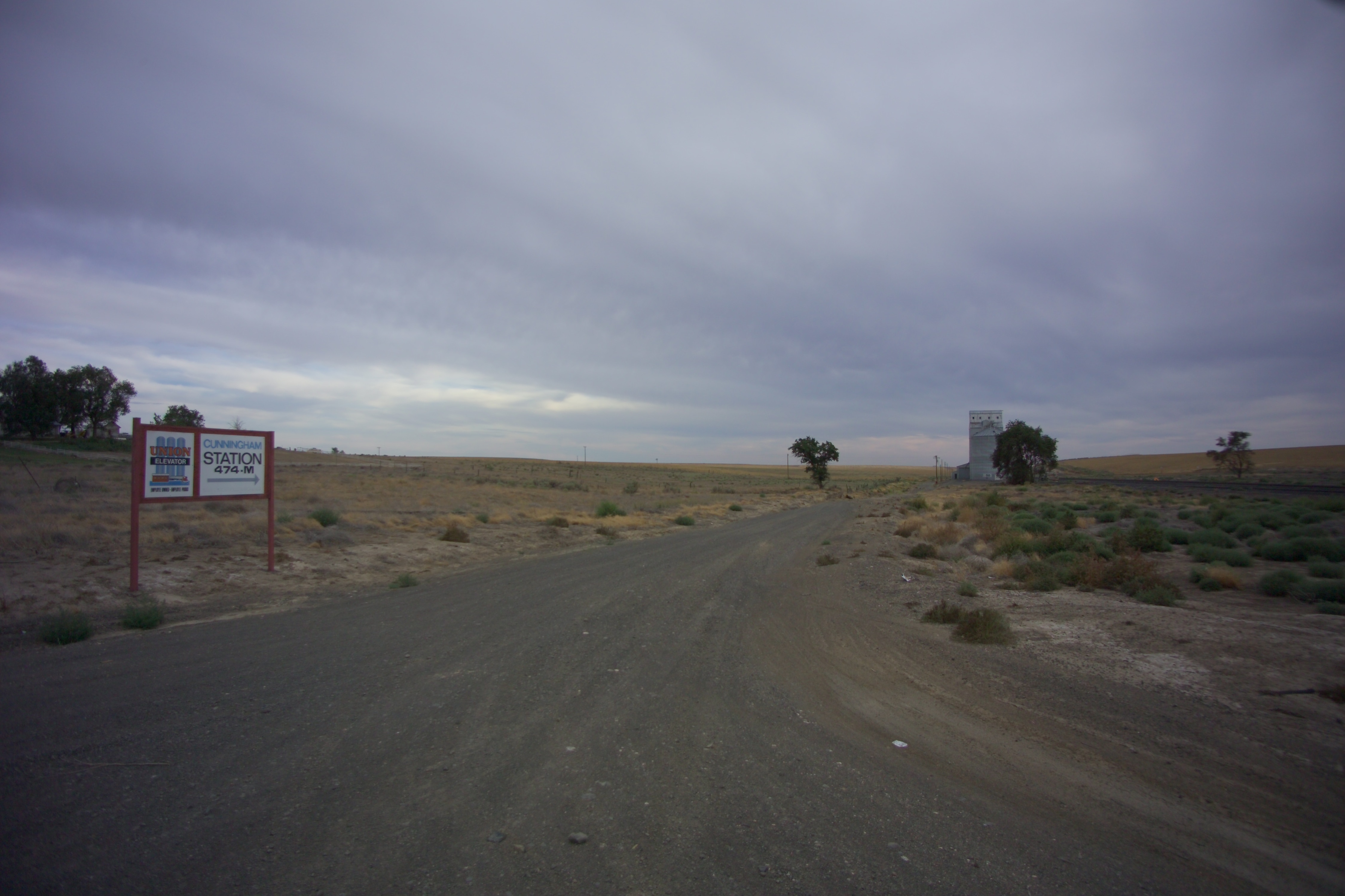
Cunningham, Washington
X-KALBND-04
Schlomer, Washington

2014-09-12 18;12;54

Near Schlomer, Washington

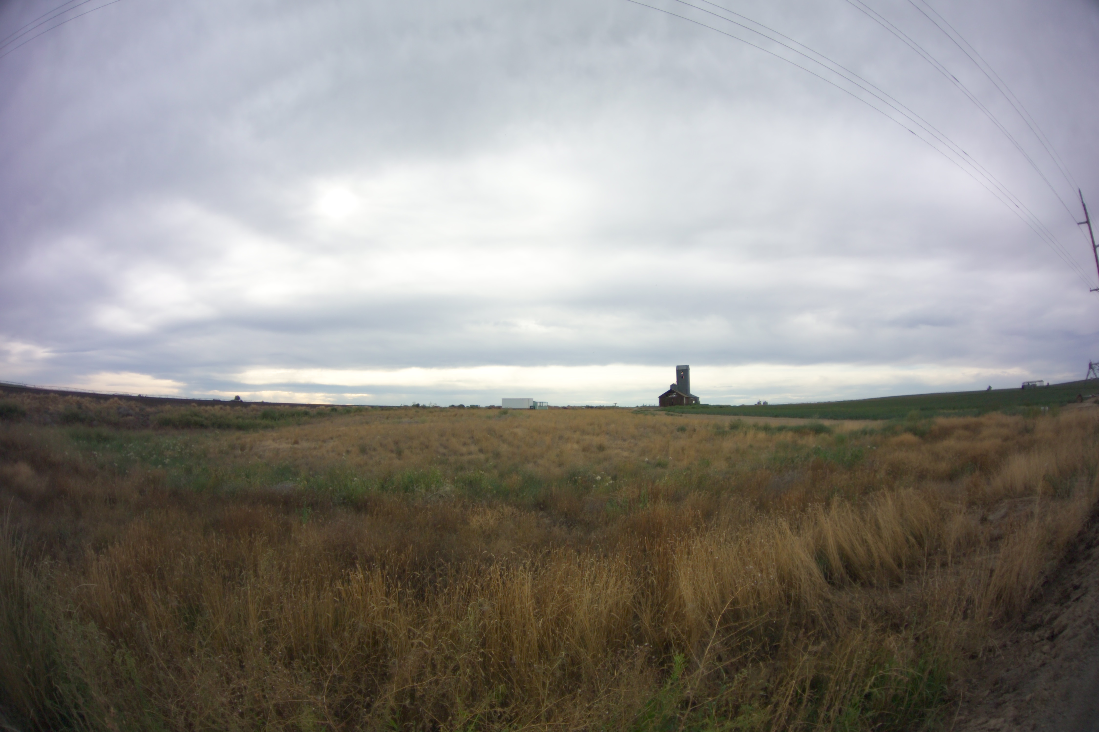
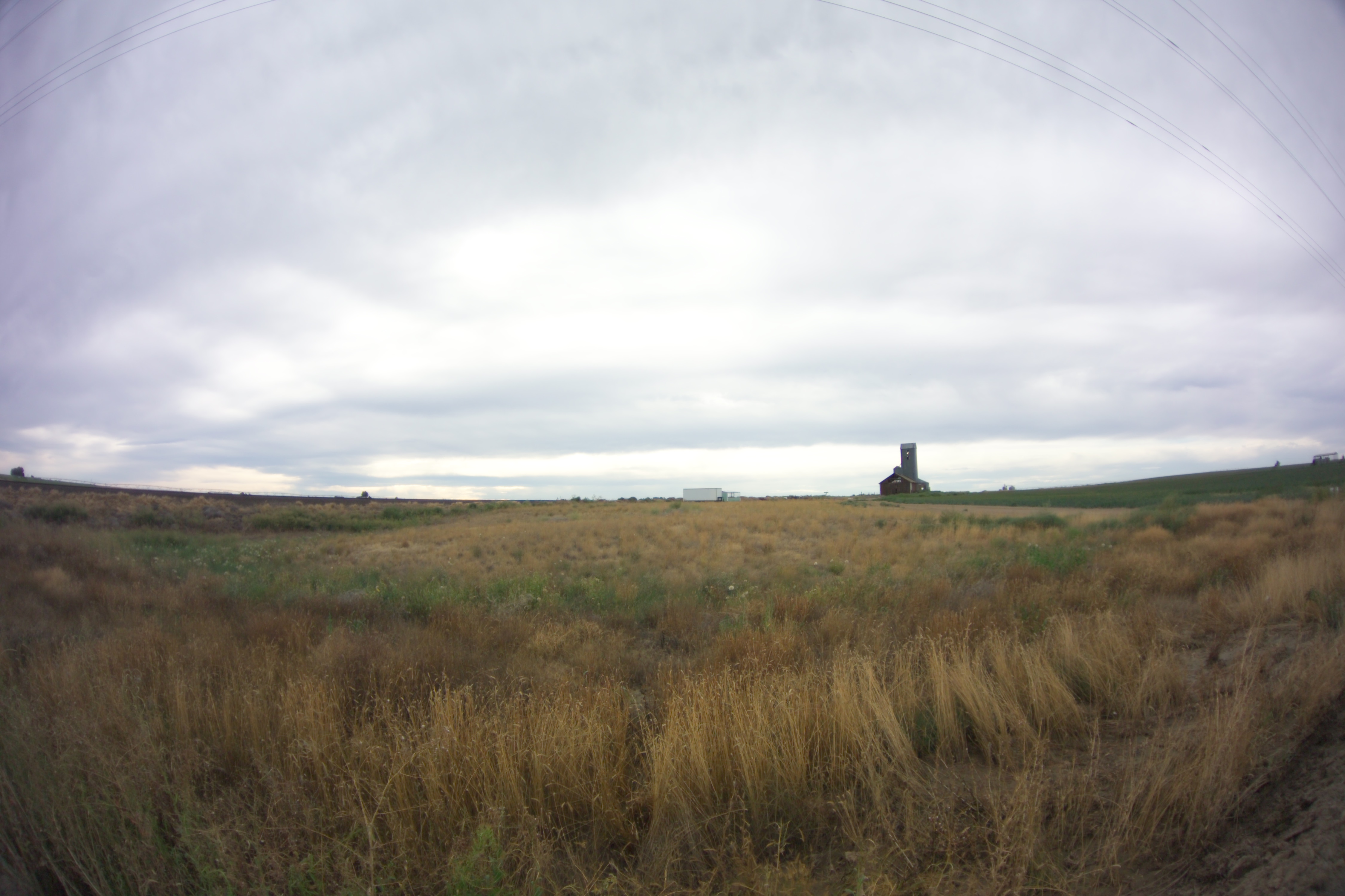
Bleak Horizons
Topographic Map of Hatton, WA, USA
Find elevation by address:

Places in Hatton, WA, USA:
Places near Hatton, WA, USA:
Bronson St, Hatton, WA, USA
South Roxboro Road
Columbia Rd, Mesa, WA, USA
Franklin County
Lind
Kahlotus
100 Burr Canyon Rd
Braeburn Pl NW, Soap Lake, WA, USA
31 Wallace Walker Rd, Pasco, WA, USA
Adams County
33 E Larch St, Othello, WA, USA
Othello
691 S Canal Rd
Eltopia
Simmons Rd, Prescott, WA, USA
5240 Eltopia West Rd
Rd 2 Ne & Rd O Ne
13558 N Frontage Rd
2nd St NE, Moses Lake, WA, USA
1720 Rd N Ne
Recent Searches:
- Elevation of Tenjo, Cundinamarca, Colombia
- Elevation of Côte-des-Neiges, Montreal, QC H4A 3J6, Canada
- Elevation of Bobcat Dr, Helena, MT, USA
- Elevation of Zu den Ihlowbergen, Althüttendorf, Germany
- Elevation of Badaber, Peshawar, Khyber Pakhtunkhwa, Pakistan
- Elevation of SE Heron Loop, Lincoln City, OR, USA
- Elevation of Slanický ostrov, 01 Námestovo, Slovakia
- Elevation of Spaceport America, Co Rd A, Truth or Consequences, NM, USA
- Elevation of Warwick, RI, USA
- Elevation of Fern Rd, Whitmore, CA, USA