Elevation of S Canal Rd, Othello, WA, USA
Location: United States > Washington > Adams County > Othello >
Longitude: -119.18926
Latitude: 46.8129717
Elevation: 304m / 997feet
Barometric Pressure: 98KPa
Elevation Map:
Satellite Map:
Related Photos:
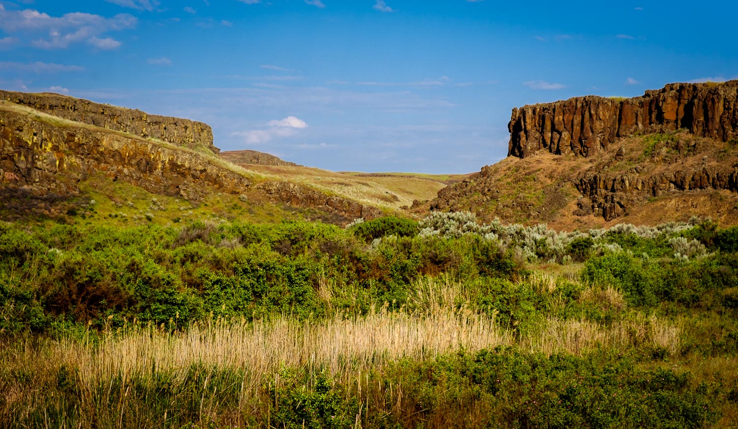
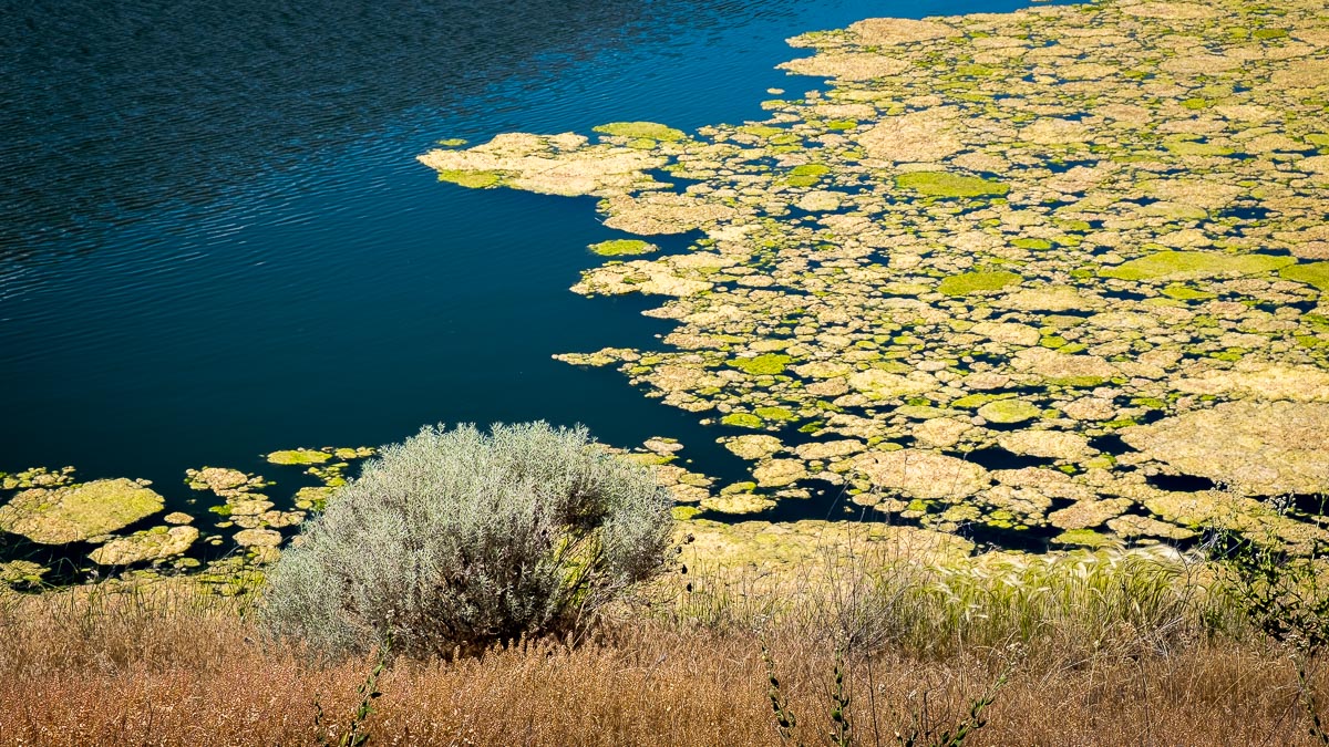
Columbia National Wildlife Refuge

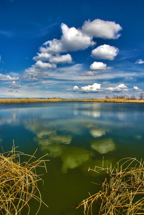
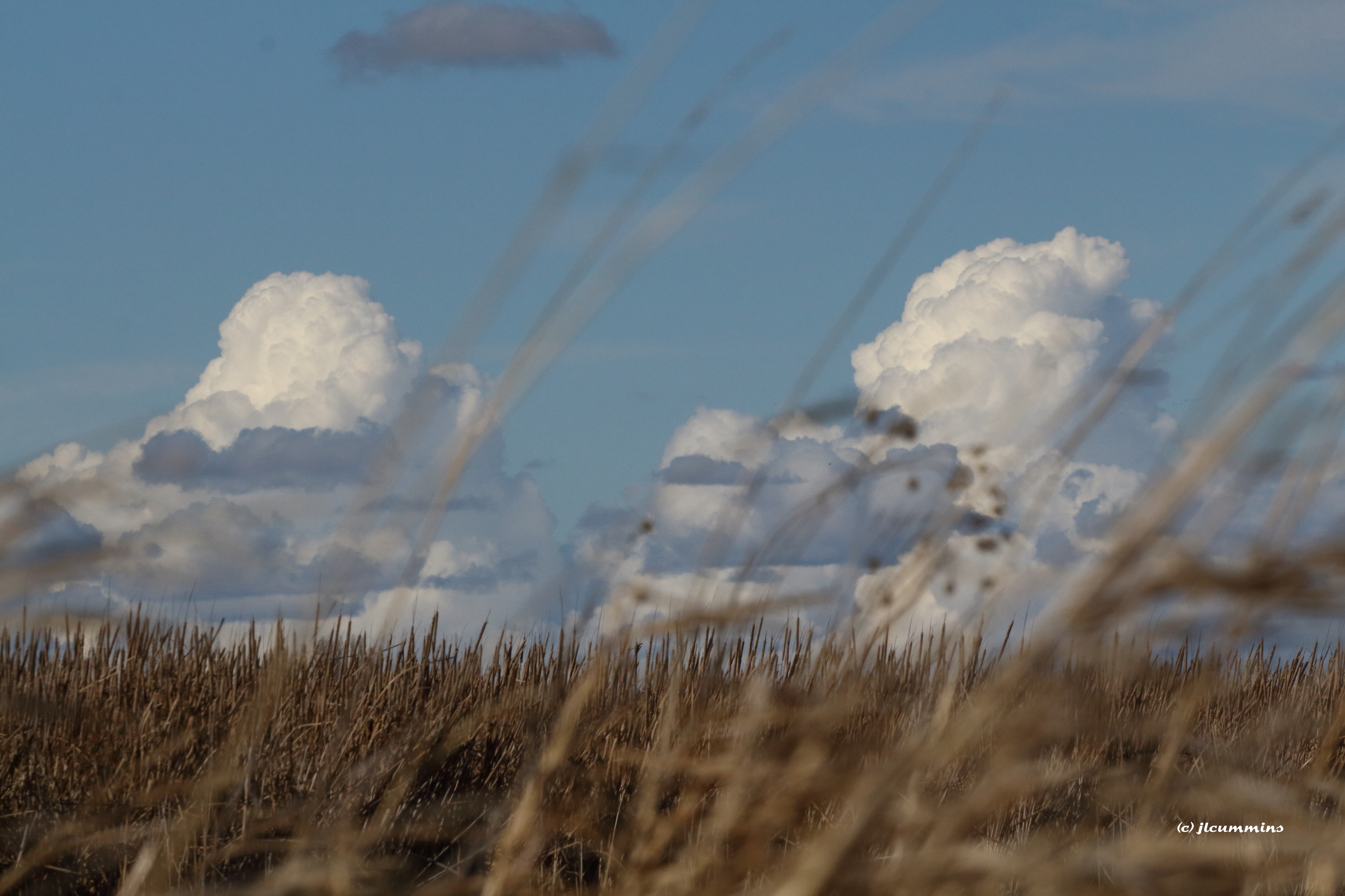
Afternoon Clouds
Columbia National Wildlife Refuge
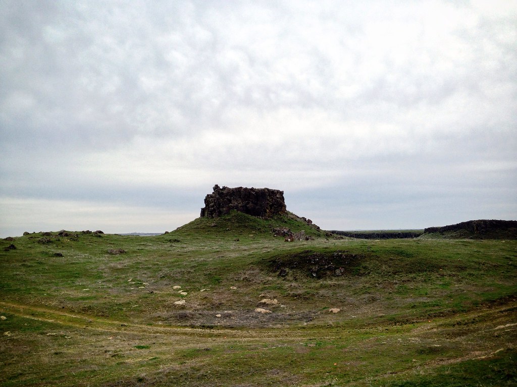
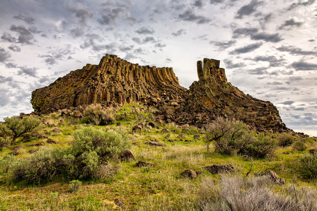
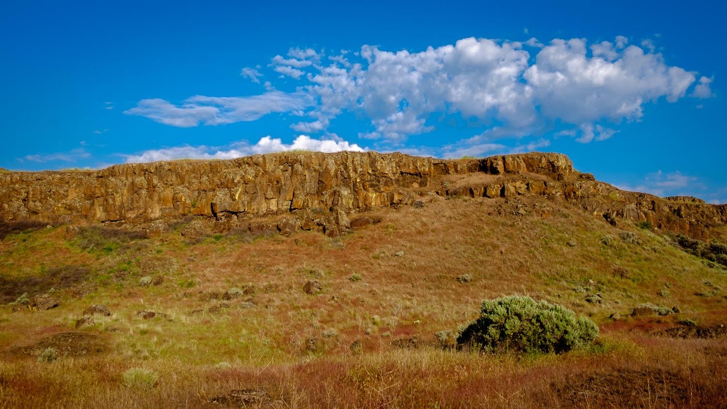
Small Lone Butte, Seep Lakes Area, Washington
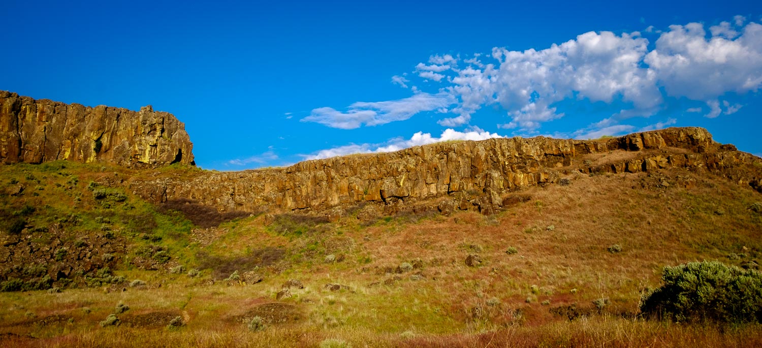
Columbia National Wildlife Refuge

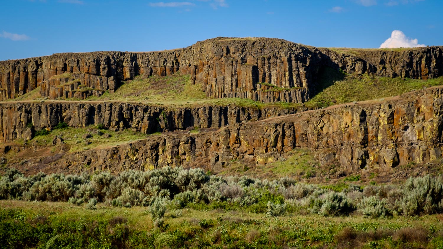
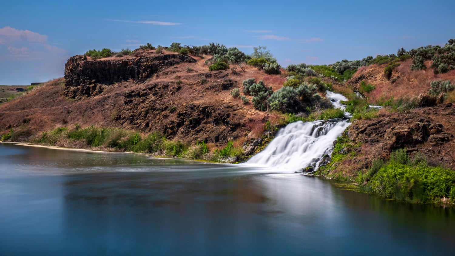
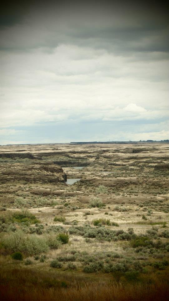
A Little Slice of the Drumheller Channels, WA USA

Columbia National Wildlife Refuge
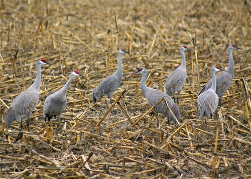
Crane Time {Othello Sandhill Crane Festival}
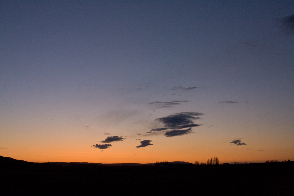
Scooteney Resrvoir Sunset
Took a Lickin' but Keeps on Tickin'
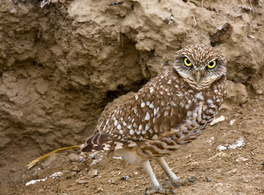
Of Course I Give a Hoot!

Sympetrum semicinctum, Band-winged Meadowhawk (formerly S. occidentale, Western Meadowhawk)
Nature's Temple
Reflection on Morgan Lake

Harvest Moon, Washington, September 2013

Tree Farm

Sunset on Long Lake, Adams County, Washington
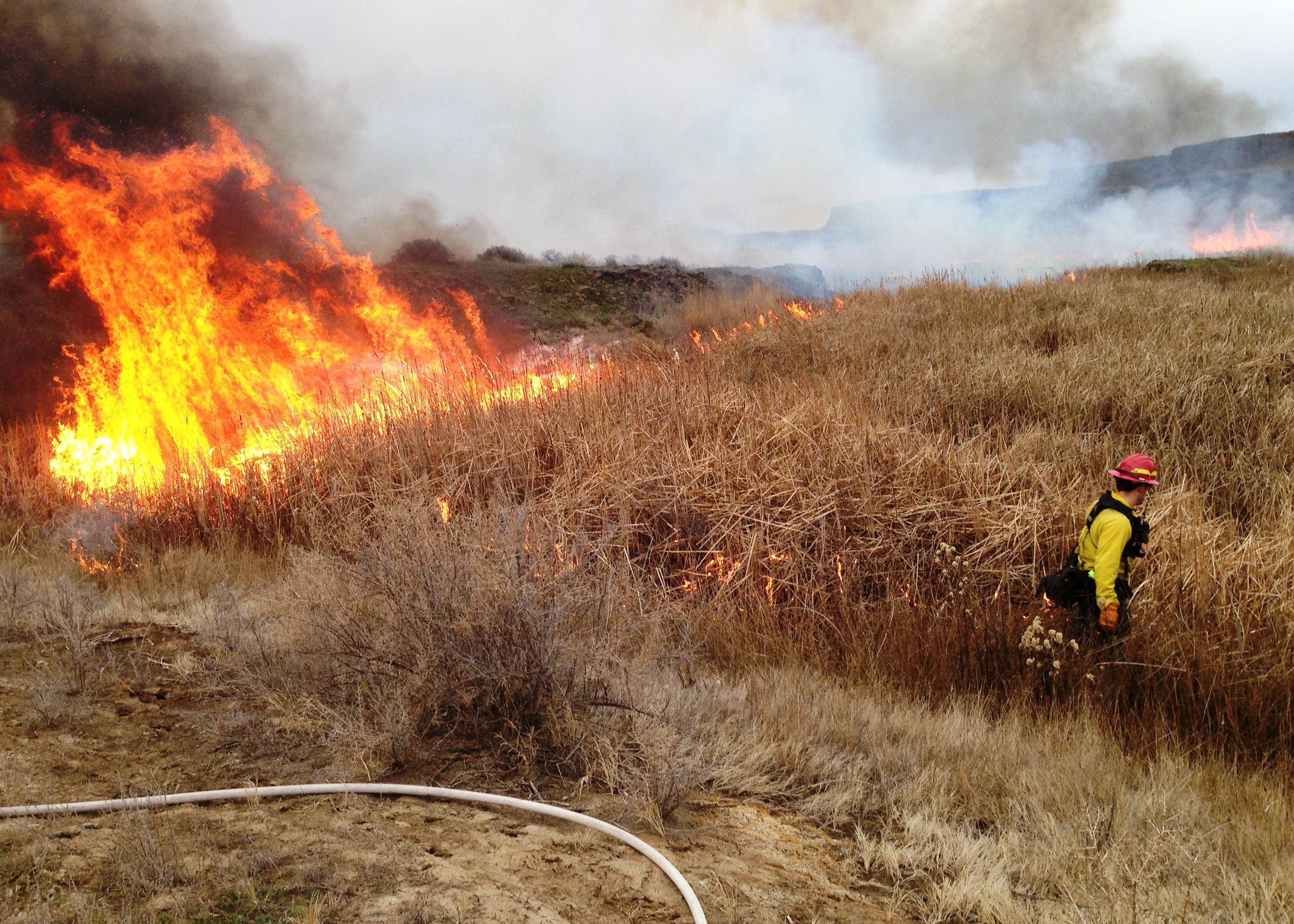
Prescribed Fire to Improve Marsh Habitat

2018.06.30 - Goose Lake
Columbia National Wildlife Refuge

sunrise at work 6
Columbia NWR

lower Crab Creek against Saddle Mountain almost freezing

Columbia National Wildlife Refuge
Scooteney Reservoir

Columbia National Wildlife Refuge
Open Sky 2
Columbia National Wildlife Refuge
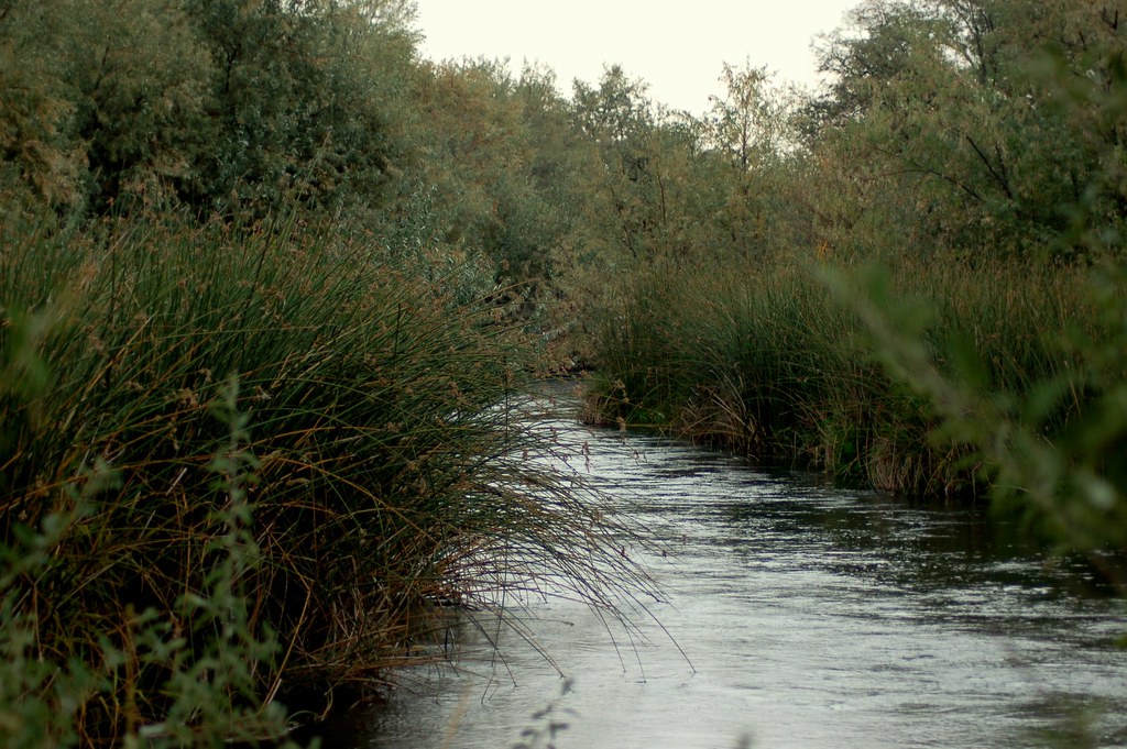
Creek to the Lakes where I grew up
Topographic Map of S Canal Rd, Othello, WA, USA
Find elevation by address:

Places near S Canal Rd, Othello, WA, USA:
33 E Larch St, Othello, WA, USA
Othello
Braeburn Pl NW, Soap Lake, WA, USA
Crab Creek
13558 N Frontage Rd
12976 N Frontage Rd
1720 Rd N Ne
Rd 2 Ne & Rd O Ne
3211 W Wapato Dr
1600 S Beaumont Dr
2nd St NE, Moses Lake, WA, USA
Wheeler
Prichard Rd, Moses Lake, WA, USA
Moses Lake
Columbia Rd, Mesa, WA, USA
5240 Eltopia West Rd
South Roxboro Road
Bronson St, Hatton, WA, USA
Hatton
N Power Plant Loop, Richland, WA, USA
Recent Searches:
- Elevation of Congressional Dr, Stevensville, MD, USA
- Elevation of Bellview Rd, McLean, VA, USA
- Elevation of Stage Island Rd, Chatham, MA, USA
- Elevation of Shibuya Scramble Crossing, 21 Udagawacho, Shibuya City, Tokyo -, Japan
- Elevation of Jadagoniai, Kaunas District Municipality, Lithuania
- Elevation of Pagonija rock, Kranto 7-oji g. 8"N, Kaunas, Lithuania
- Elevation of Co Rd 87, Jamestown, CO, USA
- Elevation of Tenjo, Cundinamarca, Colombia
- Elevation of Côte-des-Neiges, Montreal, QC H4A 3J6, Canada
- Elevation of Bobcat Dr, Helena, MT, USA