Elevation of Bronson St, Hatton, WA, USA
Location: United States > Washington > Adams County > Hatton >
Longitude: -118.82880
Latitude: 46.7765364
Elevation: 340m / 1115feet
Barometric Pressure: 97KPa
Elevation Map:
Satellite Map:
Related Photos:
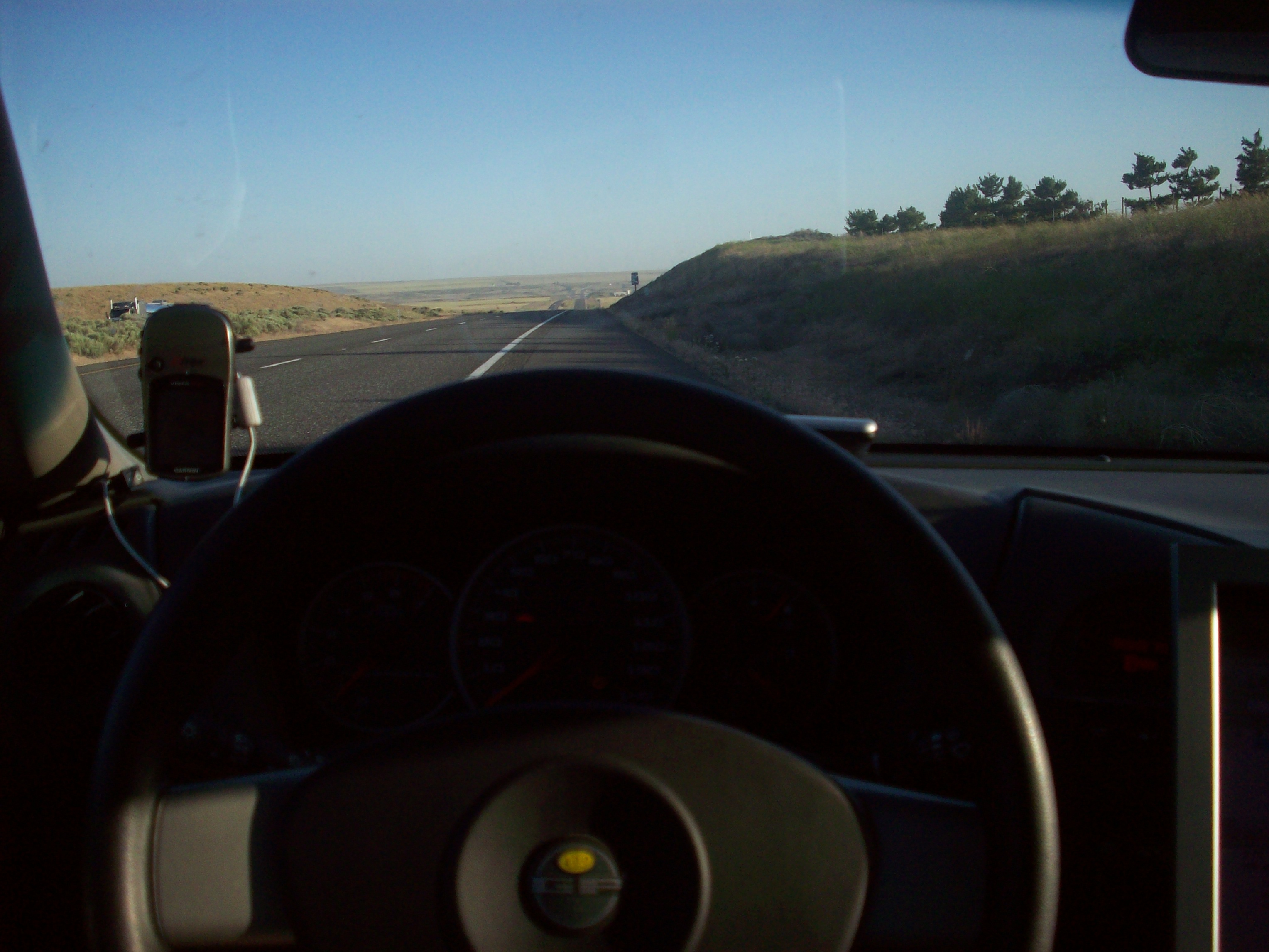
Gps and view

Tree Farm

Drive Hard

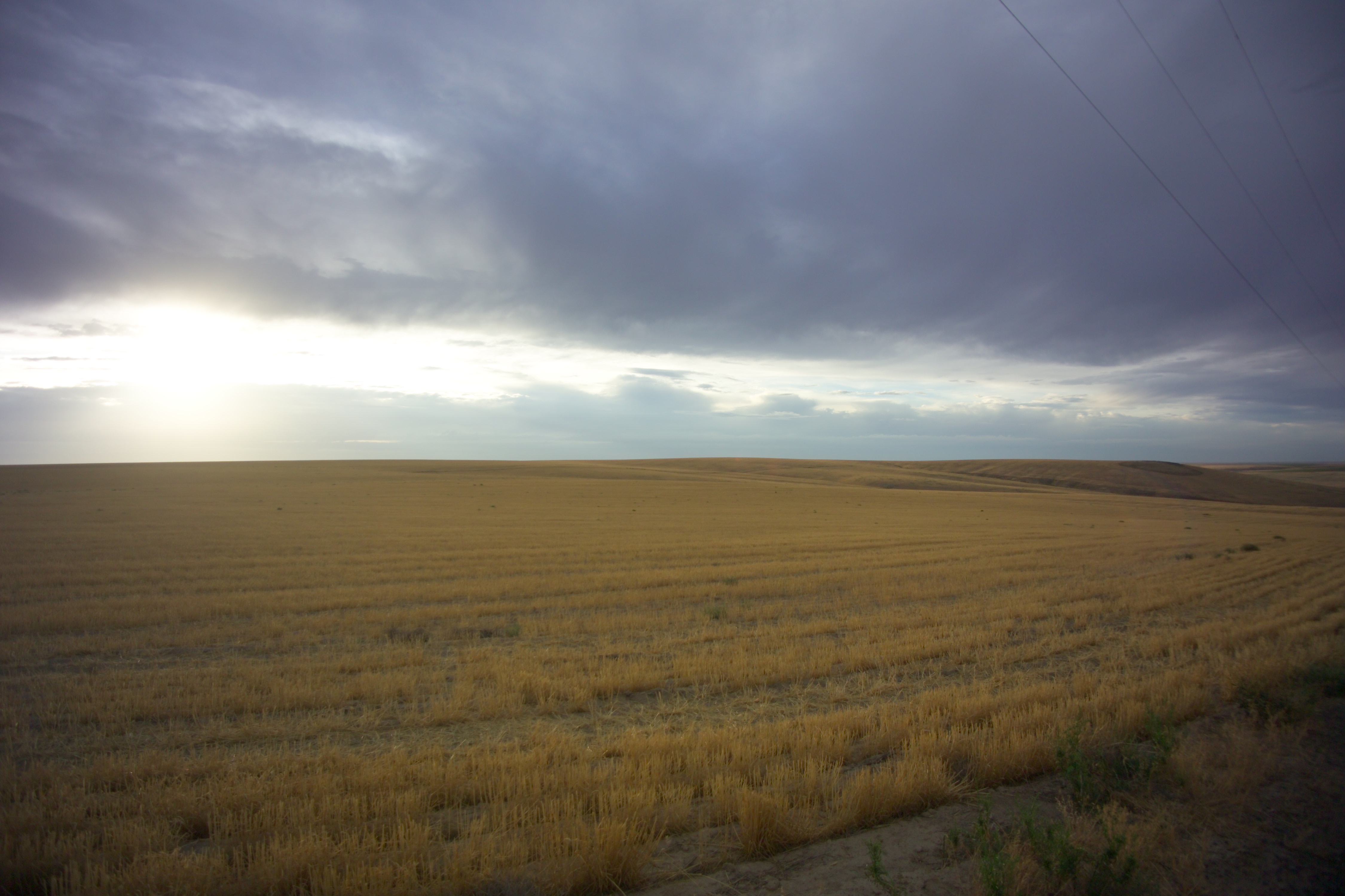
High Desert Morning
Near Servia, Washington
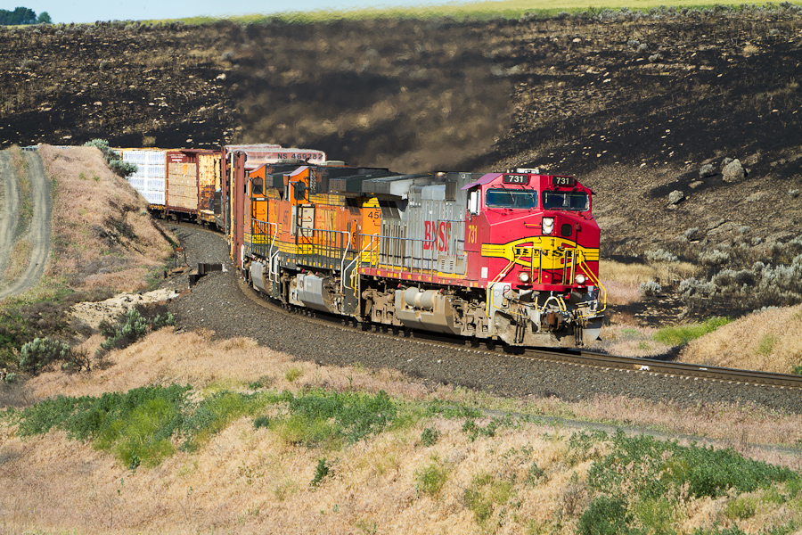
Normal Ops
Schlomer, Washington
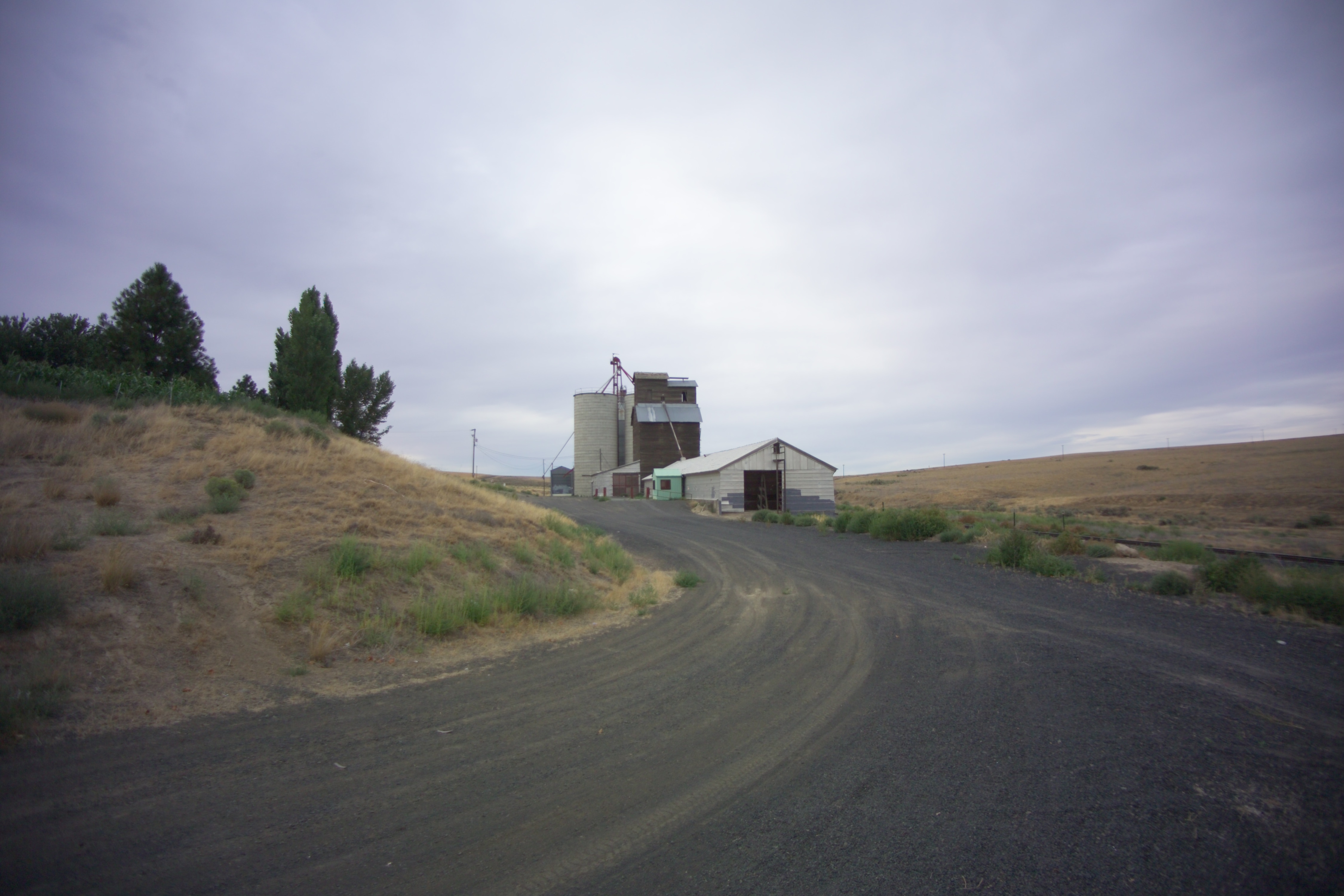
Schlomer, Washington
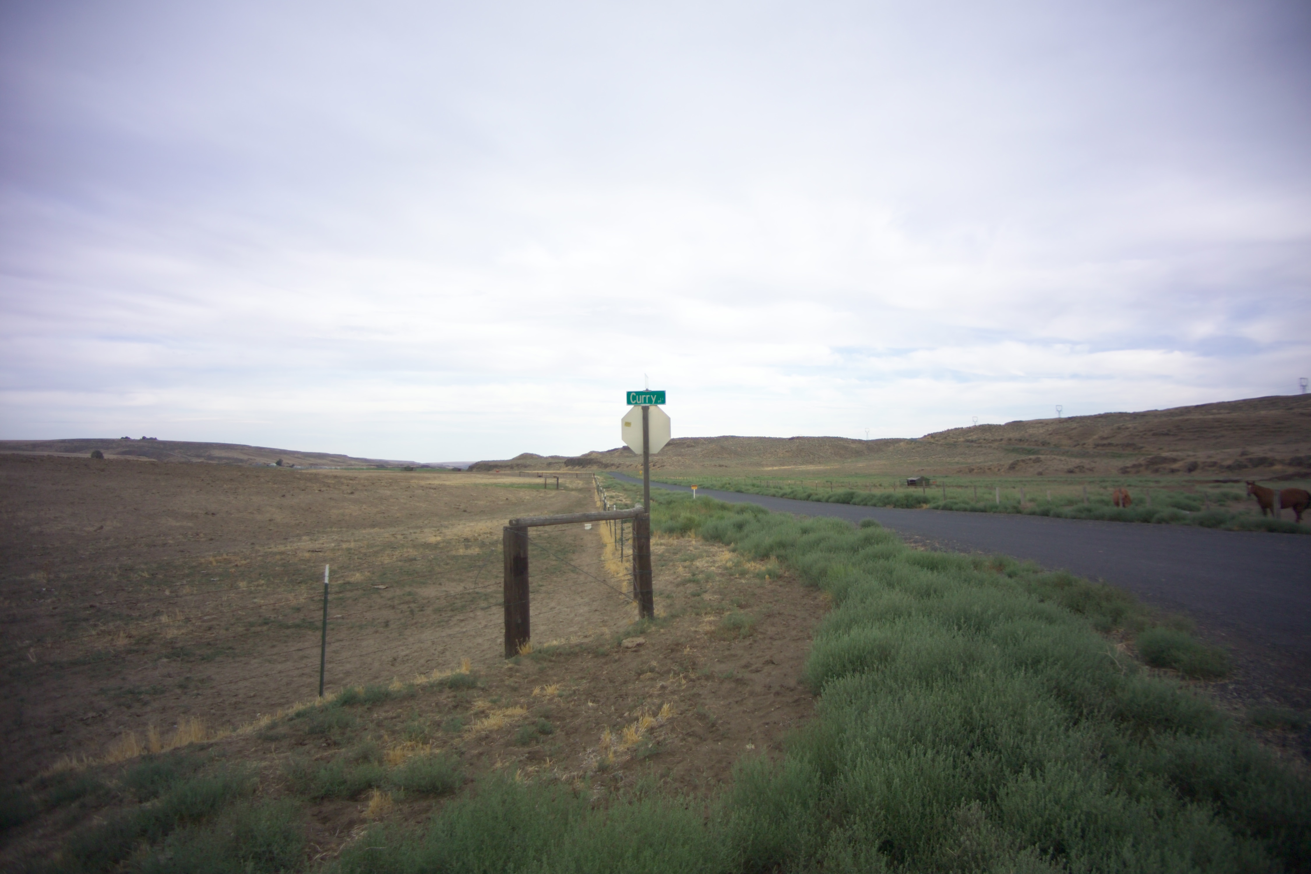
Curry, Washington
Schlomer, Washington
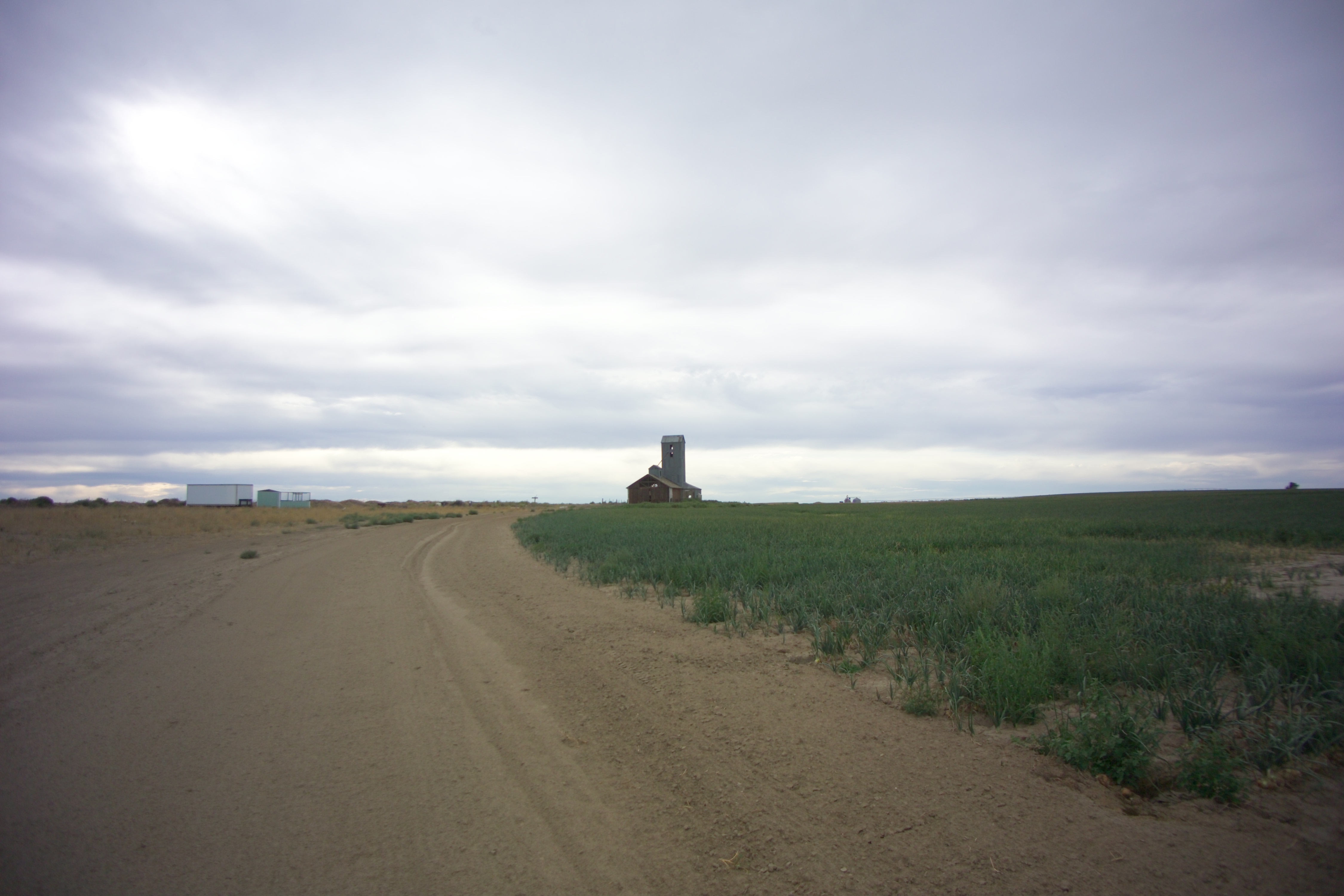
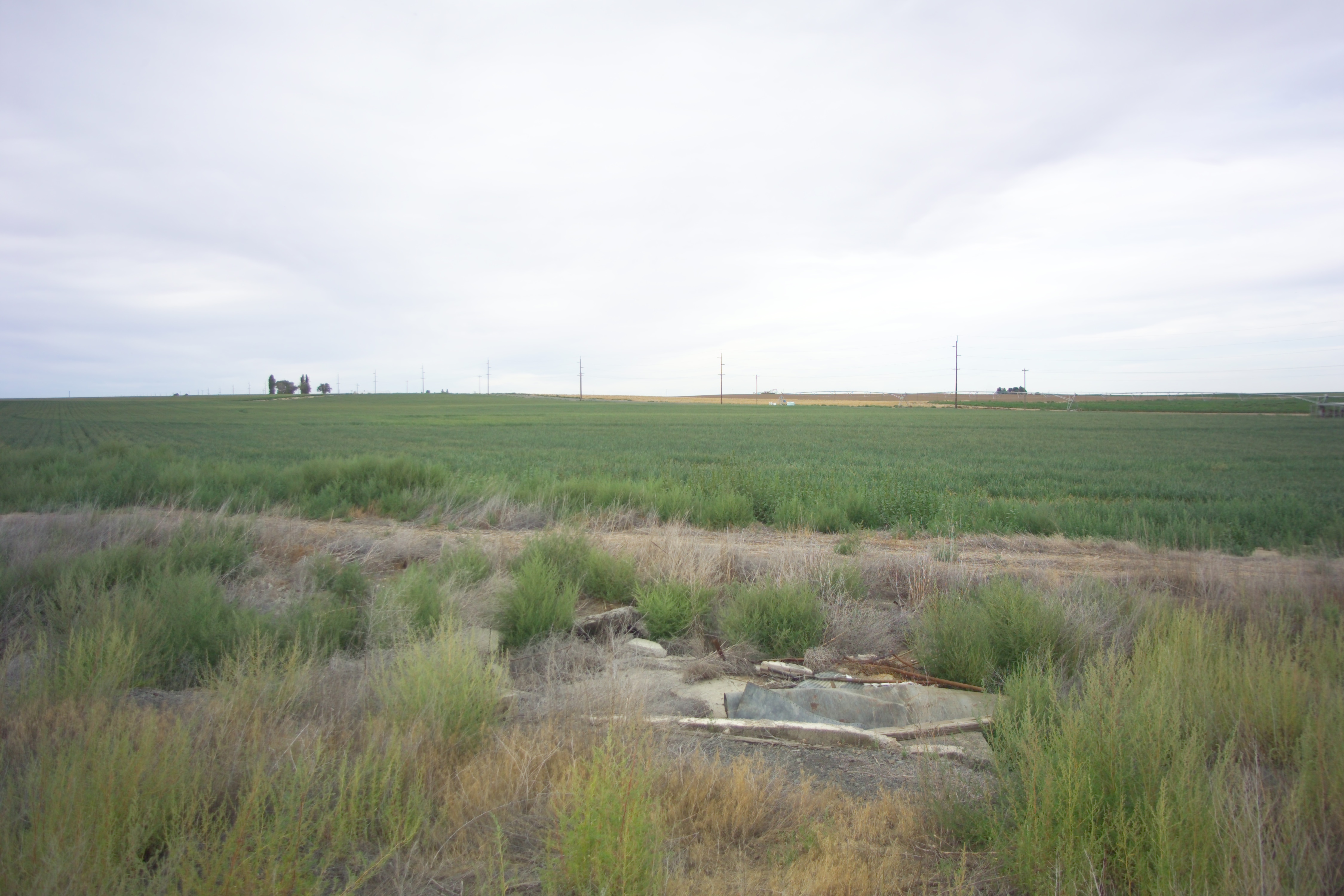
Hatton, Washington
Curry, Washington
Curry, Washington
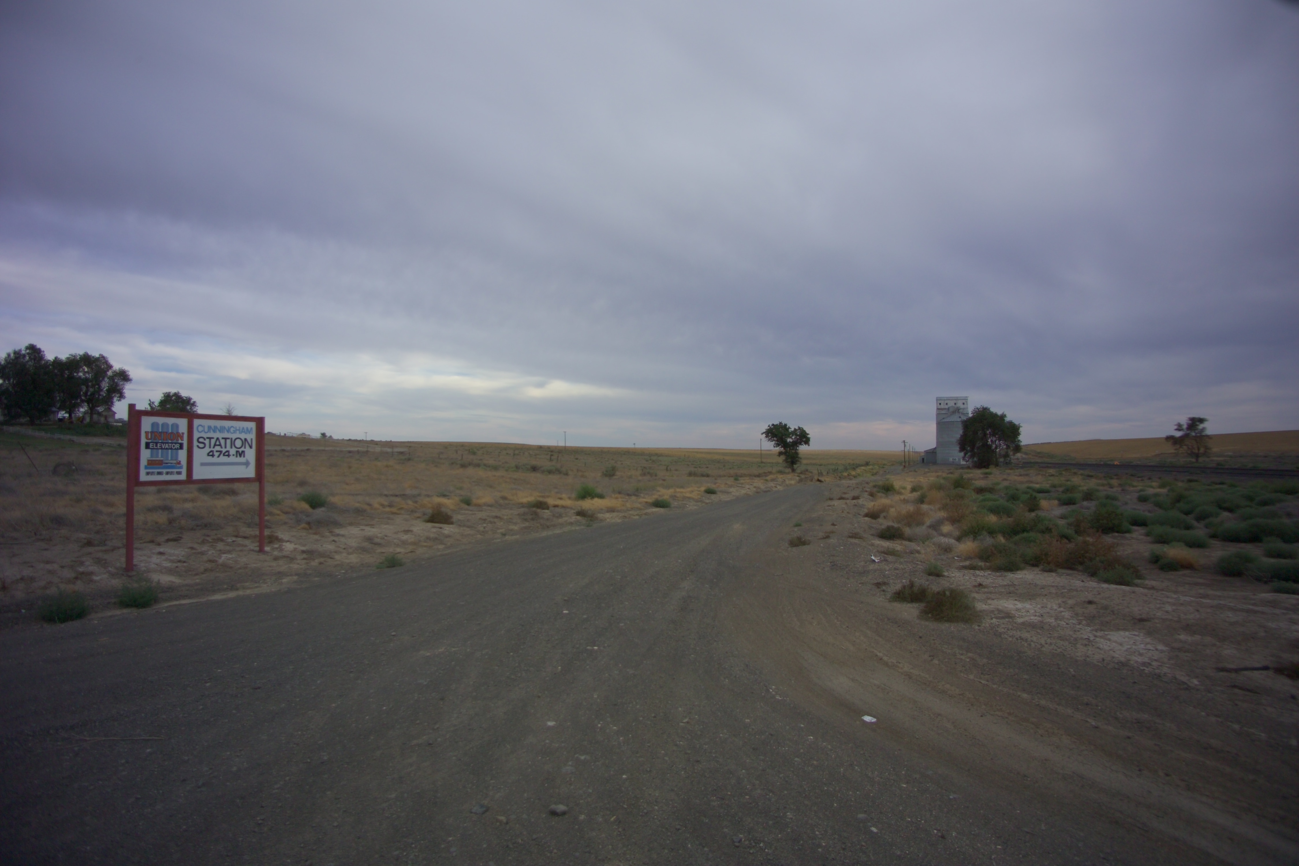
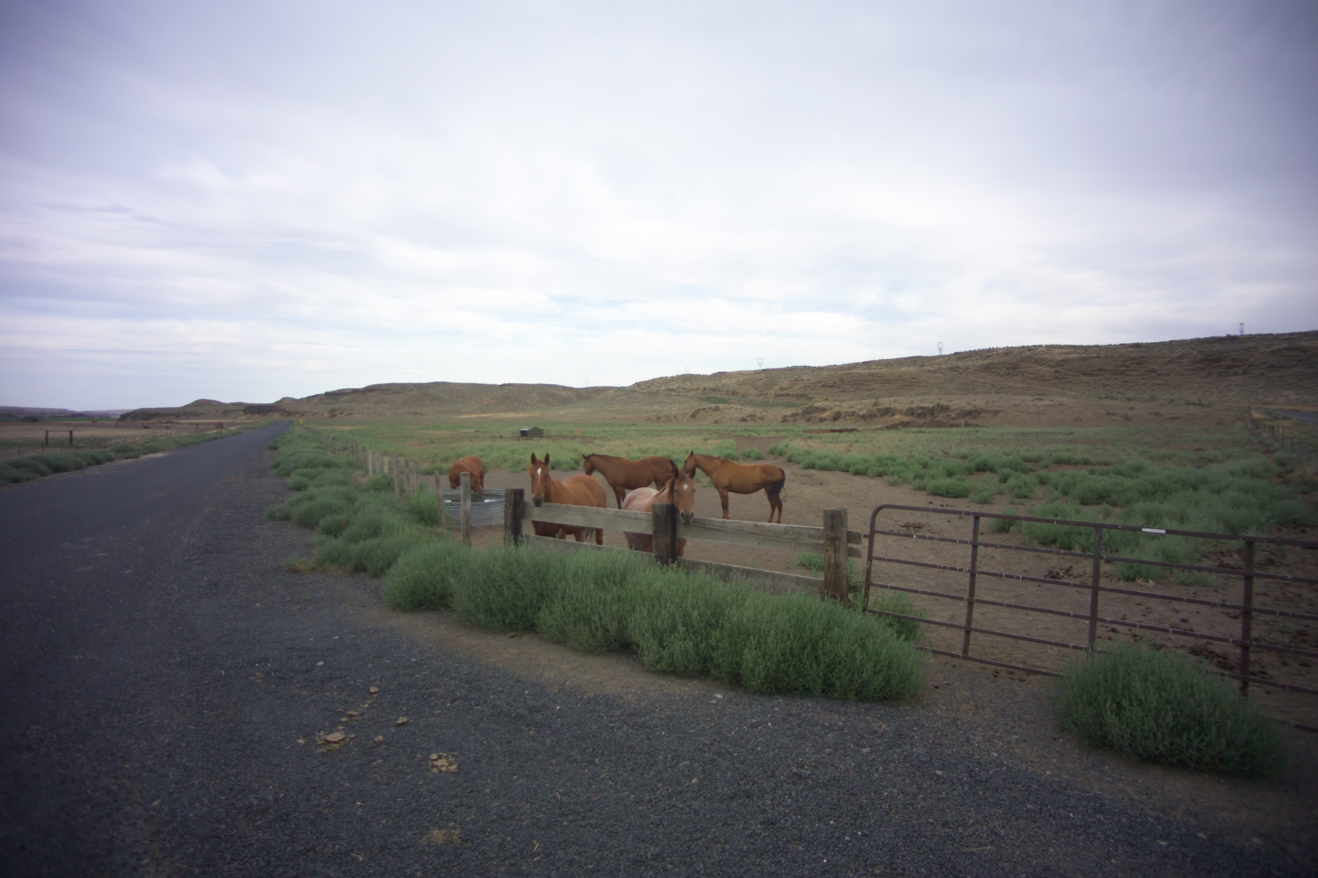
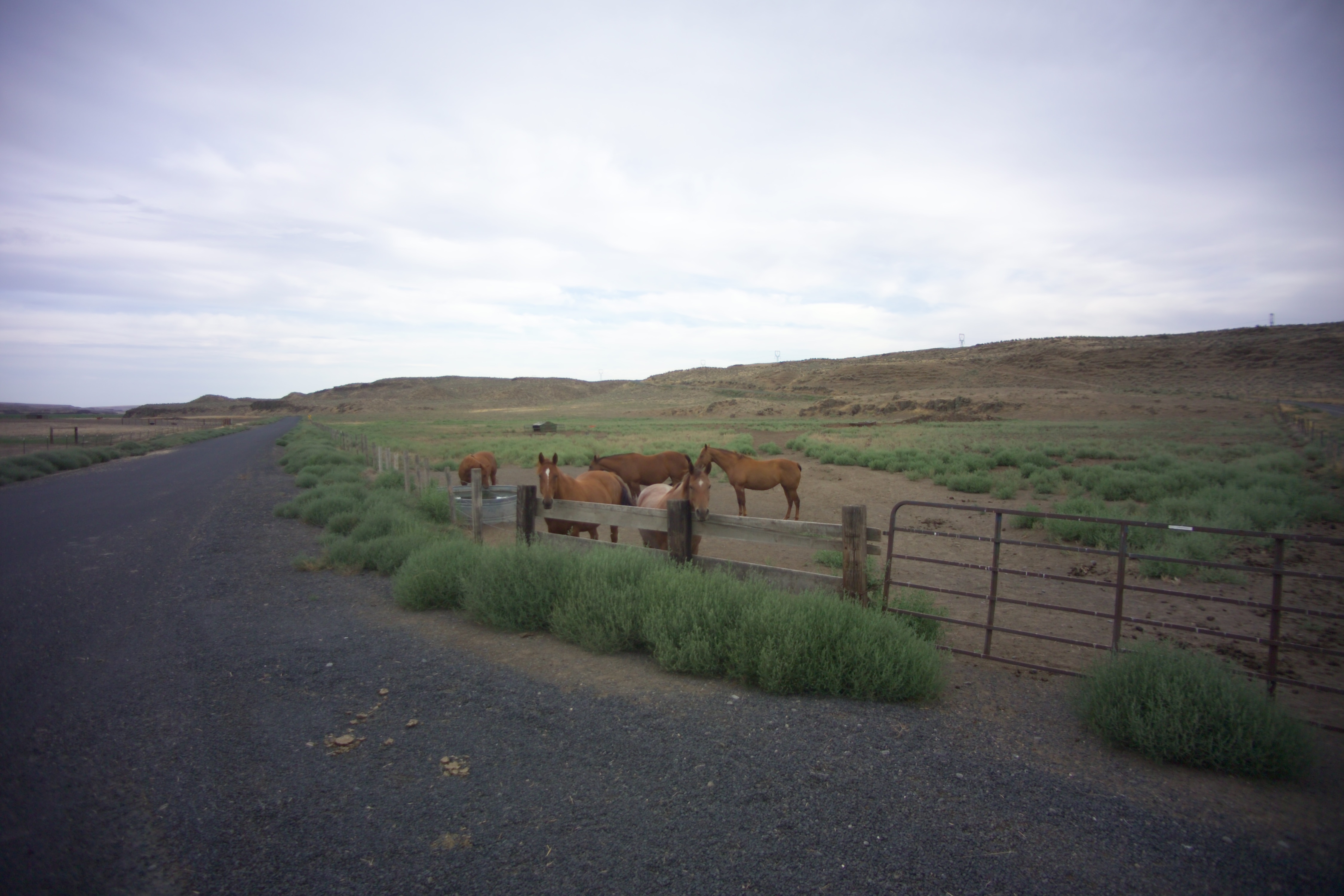
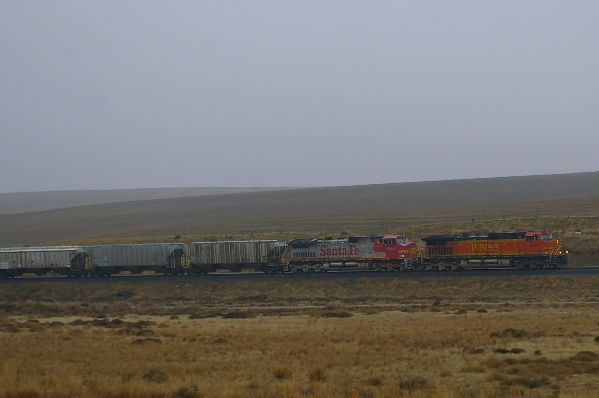
Cunningham, Washington
X-KALBND-04
Schlomer, Washington

2014-09-12 18;12;54

Near Schlomer, Washington
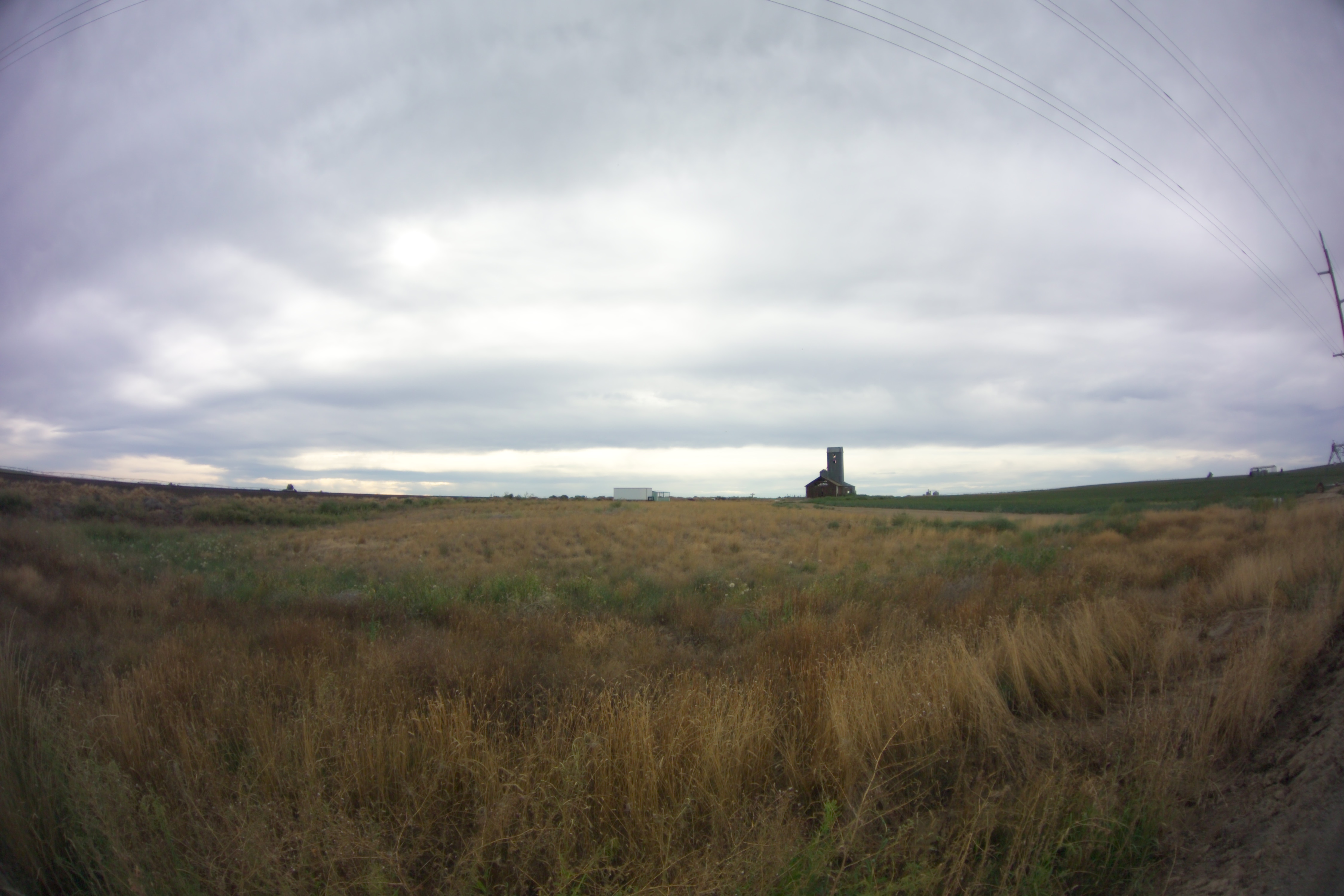
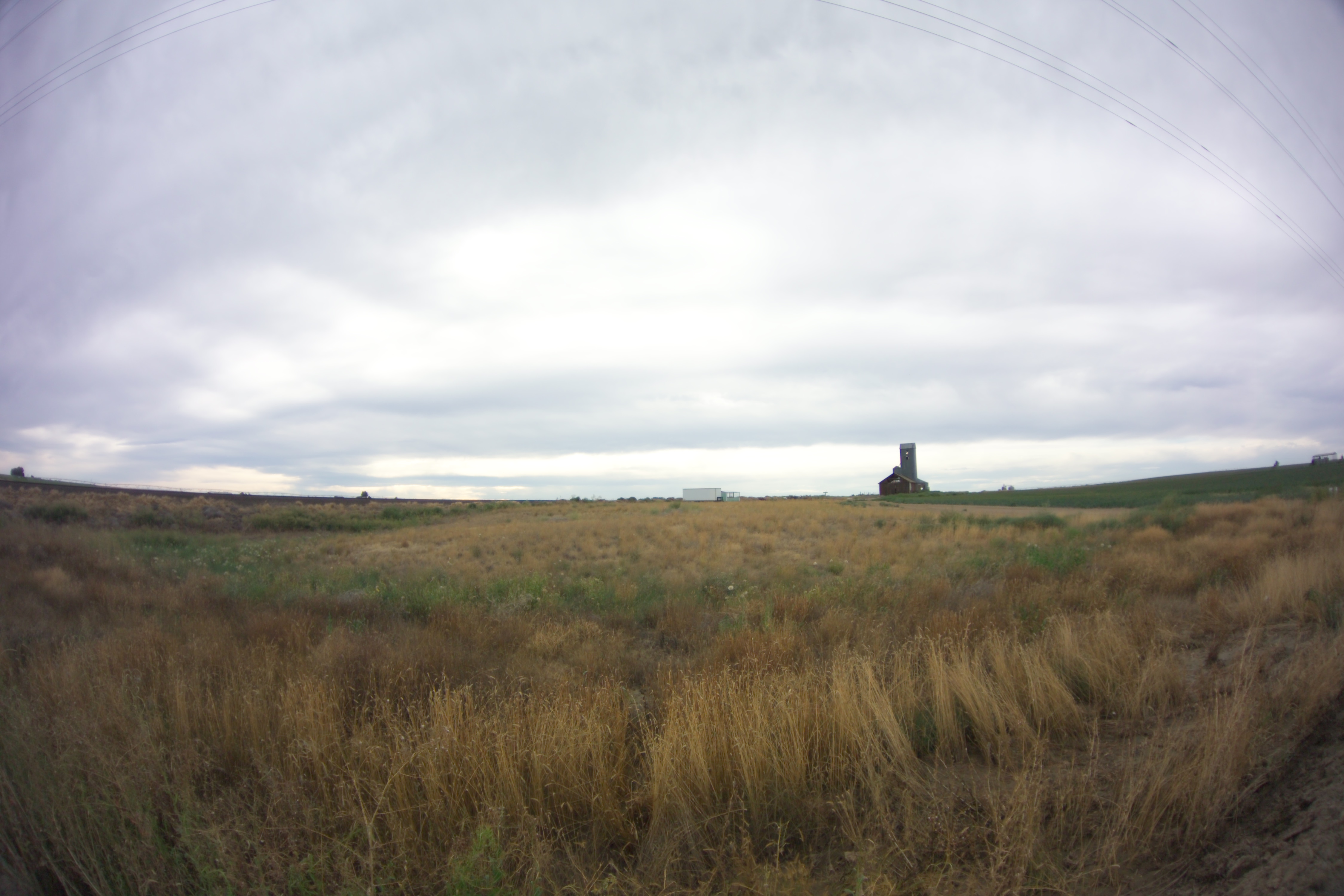
Bleak Horizons
Topographic Map of Bronson St, Hatton, WA, USA
Find elevation by address:

Places near Bronson St, Hatton, WA, USA:
Hatton
South Roxboro Road
Columbia Rd, Mesa, WA, USA
Franklin County
Lind
Kahlotus
Braeburn Pl NW, Soap Lake, WA, USA
100 Burr Canyon Rd
31 Wallace Walker Rd, Pasco, WA, USA
33 E Larch St, Othello, WA, USA
Othello
Adams County
691 S Canal Rd
Eltopia
Simmons Rd, Prescott, WA, USA
5240 Eltopia West Rd
Rd 2 Ne & Rd O Ne
13558 N Frontage Rd
2nd St NE, Moses Lake, WA, USA
1720 Rd N Ne
Recent Searches:
- Elevation of Spaceport America, Co Rd A, Truth or Consequences, NM, USA
- Elevation of Warwick, RI, USA
- Elevation of Fern Rd, Whitmore, CA, USA
- Elevation of 62 Abbey St, Marshfield, MA, USA
- Elevation of Fernwood, Bradenton, FL, USA
- Elevation of Felindre, Swansea SA5 7LU, UK
- Elevation of Leyte Industrial Development Estate, Isabel, Leyte, Philippines
- Elevation of W Granada St, Tampa, FL, USA
- Elevation of Pykes Down, Ivybridge PL21 0BY, UK
- Elevation of Jalan Senandin, Lutong, Miri, Sarawak, Malaysia