Elevation of Othello, WA, USA
Location: United States > Washington > Adams County >
Longitude: -119.17529
Latitude: 46.8259742
Elevation: 321m / 1053feet
Barometric Pressure: 98KPa
Elevation Map:
Satellite Map:
Related Photos:

Sympetrum semicinctum, Band-winged Meadowhawk (formerly S. occidentale, Western Meadowhawk)

Small Lone Butte, Seep Lakes Area, Washington

A Little Slice of the Drumheller Channels, WA USA
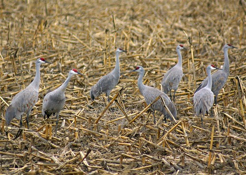
Crane Time {Othello Sandhill Crane Festival}

Took a Lickin' but Keeps on Tickin'

Of Course I Give a Hoot!

Afternoon Clouds

Columbia National Wildlife Refuge

Columbia National Wildlife Refuge

Columbia National Wildlife Refuge

Columbia National Wildlife Refuge

Scooteney Sunset

Columbia National Wildlife Refuge

Scooteney Resrvoir Sunset

Irrigation ditch

IMG_5603 Sandhill cranes, Scooteney Reservoir

Nature's Temple

Soda Lake

Column Tops

Harvest Moon, Washington, September 2013

Reflection on Morgan Lake

Tree Farm

Time stands still

Prescribed Burn on Columbia NWR

Marinating Upon the Great Northwest Country: East of the Cascades (Part 33): Lost In the Channeled Scablands

The Different Tools used for Moist-soil Marsh Management

Sunset on Long Lake, Adams County, Washington

Prescribed Fire to Improve Marsh Habitat

Upper Goose Lake, Adams County, Washington

2015.03.28 - Sandhill Cranes & Palouse Falls
Topographic Map of Othello, WA, USA
Find elevation by address:

Places near Othello, WA, USA:
33 E Larch St, Othello, WA, USA
691 S Canal Rd
Braeburn Pl NW, Soap Lake, WA, USA
Crab Creek
13558 N Frontage Rd
12976 N Frontage Rd
1720 Rd N Ne
Rd 2 Ne & Rd O Ne
2nd St NE, Moses Lake, WA, USA
1600 S Beaumont Dr
3211 W Wapato Dr
Wheeler
Prichard Rd, Moses Lake, WA, USA
Moses Lake
Bronson St, Hatton, WA, USA
South Roxboro Road
Hatton
Columbia Rd, Mesa, WA, USA
Moses Lake, WA, USA
5240 Eltopia West Rd
Recent Searches:
- Elevation of Shibuya Scramble Crossing, 21 Udagawacho, Shibuya City, Tokyo -, Japan
- Elevation of Jadagoniai, Kaunas District Municipality, Lithuania
- Elevation of Pagonija rock, Kranto 7-oji g. 8"N, Kaunas, Lithuania
- Elevation of Co Rd 87, Jamestown, CO, USA
- Elevation of Tenjo, Cundinamarca, Colombia
- Elevation of Côte-des-Neiges, Montreal, QC H4A 3J6, Canada
- Elevation of Bobcat Dr, Helena, MT, USA
- Elevation of Zu den Ihlowbergen, Althüttendorf, Germany
- Elevation of Badaber, Peshawar, Khyber Pakhtunkhwa, Pakistan
- Elevation of SE Heron Loop, Lincoln City, OR, USA