Elevation of Lyons Ferry Rd, Prescott, WA, USA
Location: United States > Washington > Walla Walla County >
Longitude: -118.37018
Latitude: 46.460155
Elevation: 429m / 1407feet
Barometric Pressure: 96KPa
Elevation Map:
Satellite Map:
Related Photos:
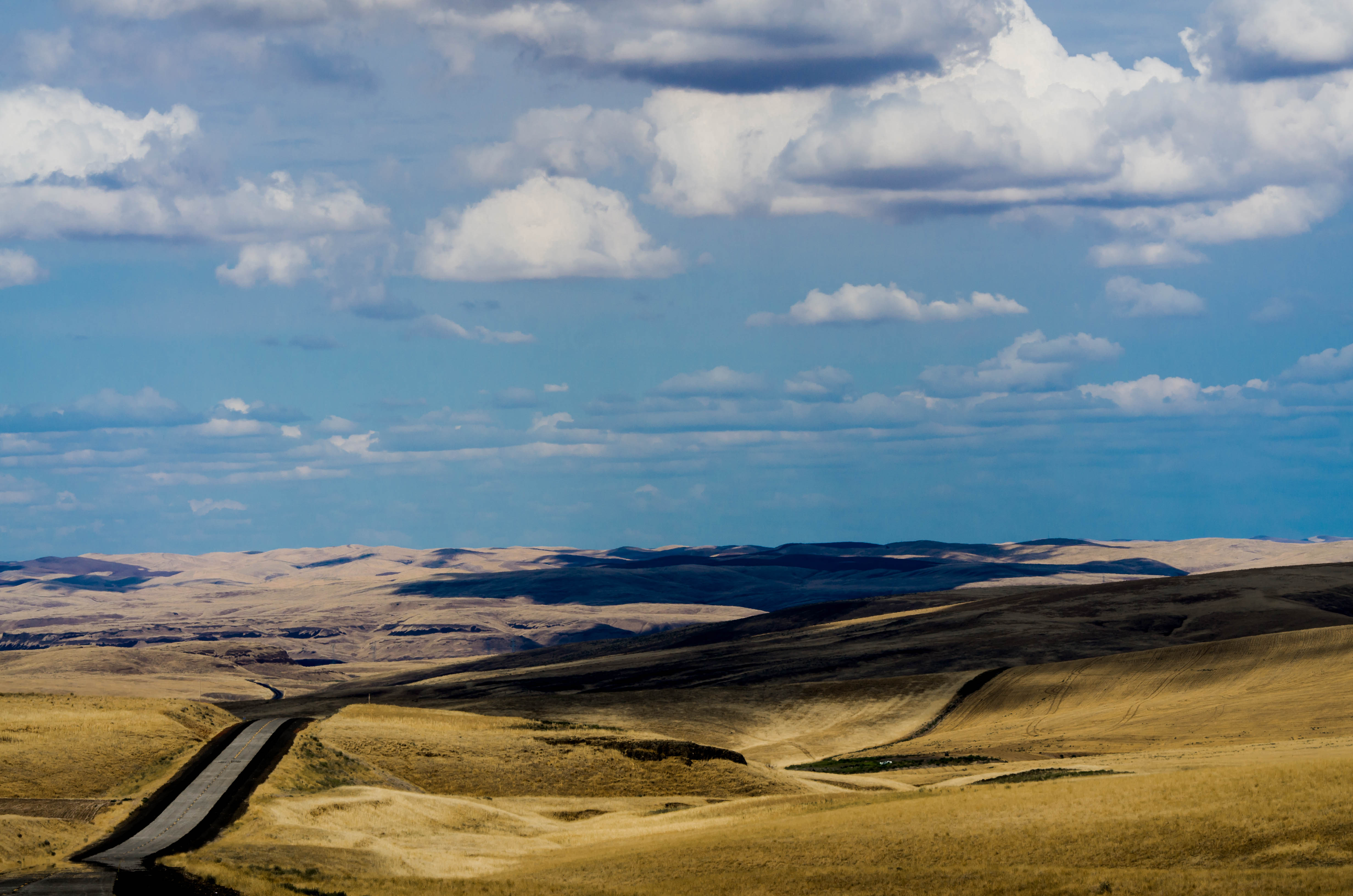
From Skyrocket Road

In and Around the PacNW
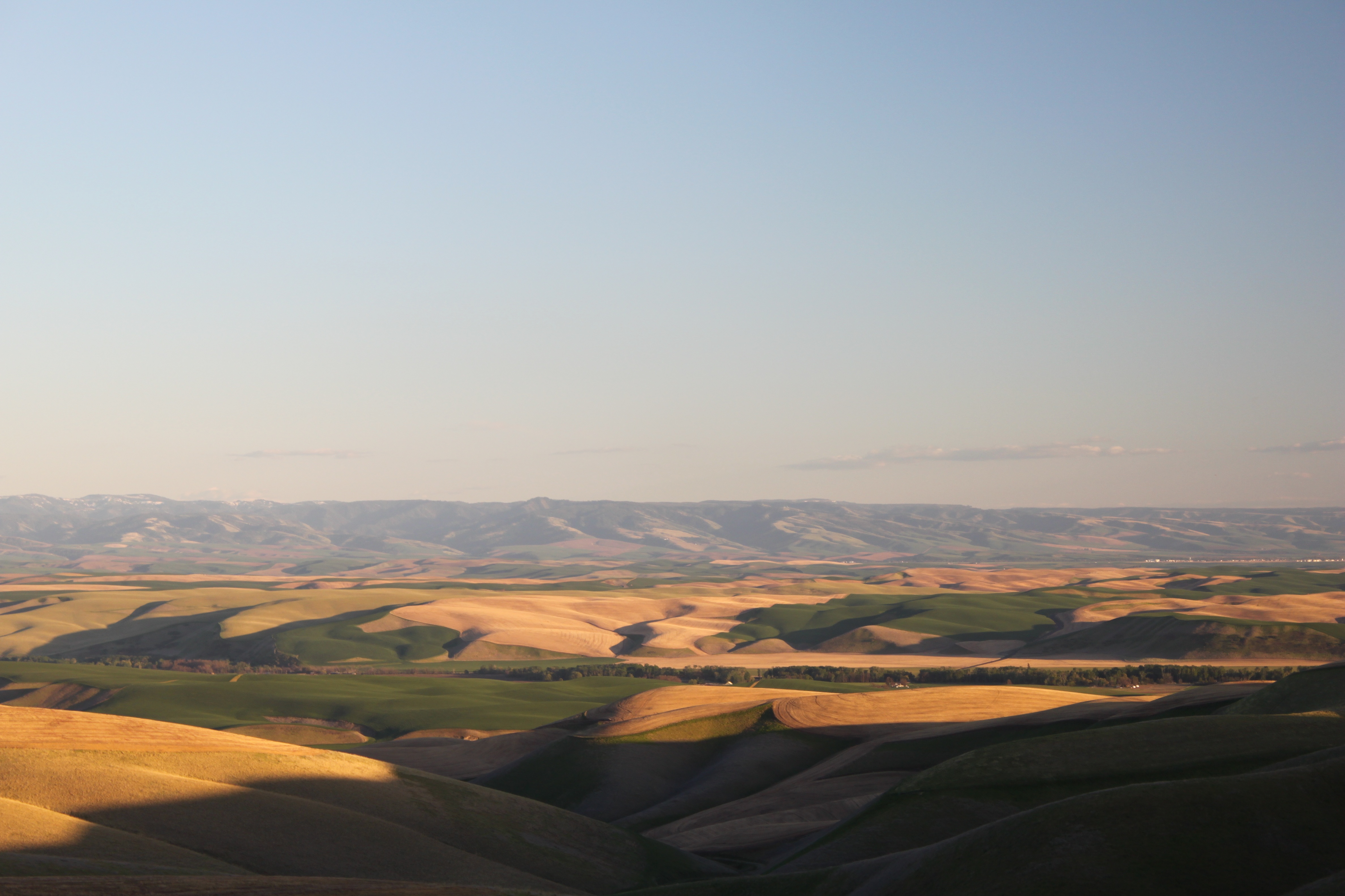
Vast Shadows

November 2010

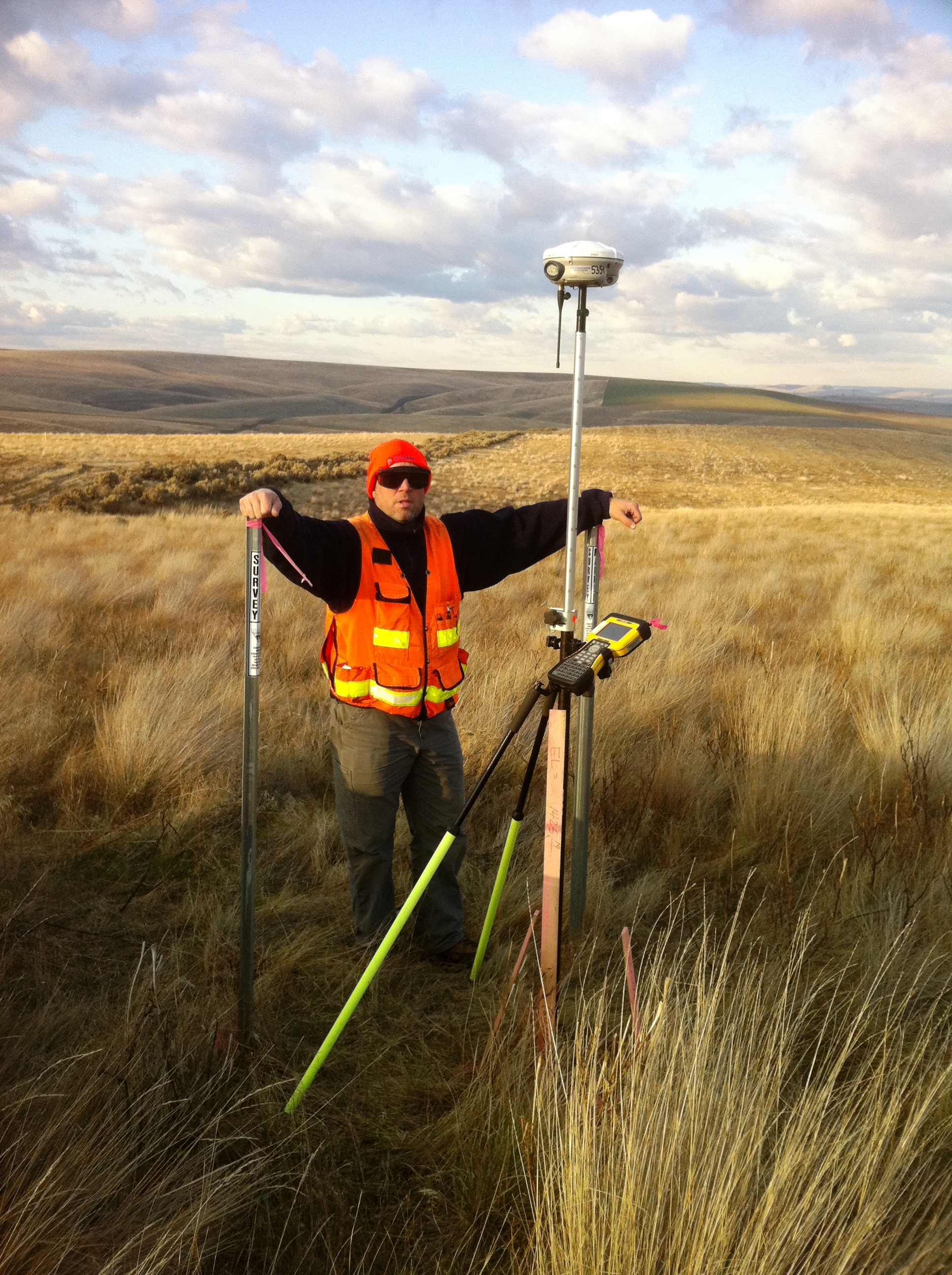
Wheat for Days
IMG_75611.jpg
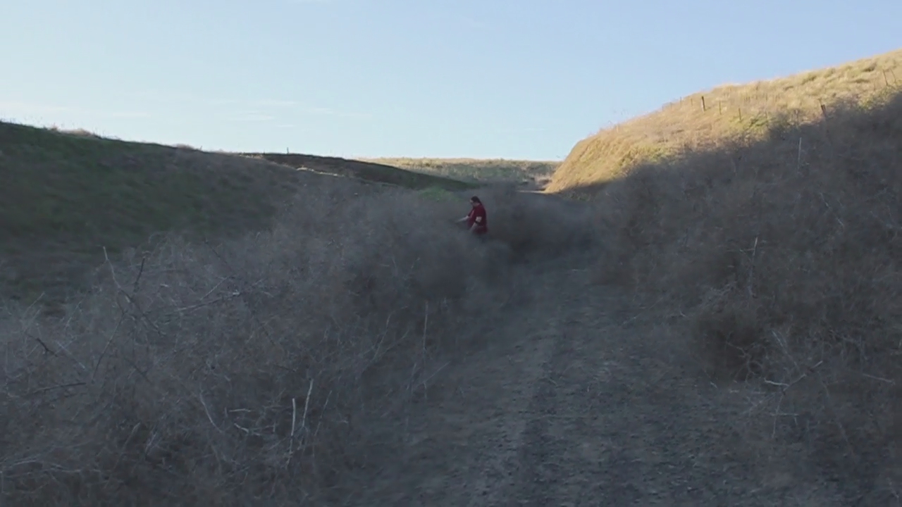
Fighting the weeds

Abandoned schoolhouse with sunset in Clyde, Washington
IMG_7539011.jpg
November 2010
November 2010

November 2010

November 2010
November 2010
November 2010

Abandoned schoolhouse with sunset in Clyde, Washington

Abandoned schoolhouse with sunset in Clyde, Washington
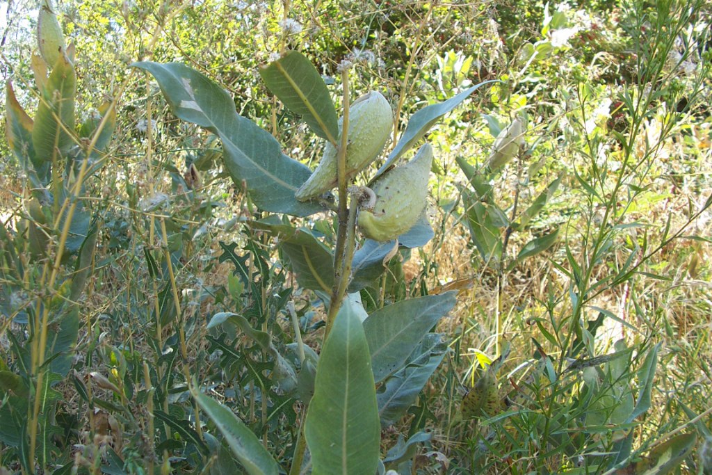
Milkweed 01

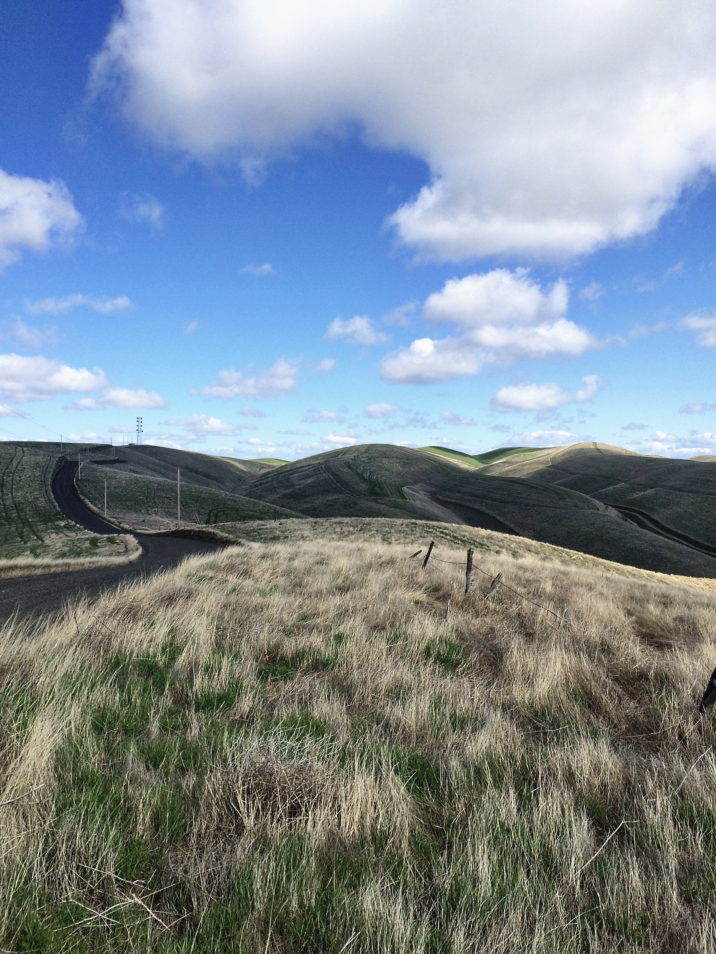
Cable Route
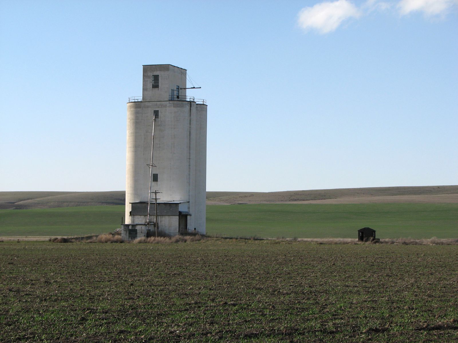
Grain Elevator
Topographic Map of Lyons Ferry Rd, Prescott, WA, USA
Find elevation by address:

Places near Lyons Ferry Rd, Prescott, WA, USA:
31 Wallace Walker Rd, Pasco, WA, USA
Palouse Falls
Simmons Rd, Prescott, WA, USA
Kahlotus
Washtucna
100 Burr Canyon Rd
Adams County
Franklin County
Columbia Rd, Mesa, WA, USA
South Roxboro Road
Hatton
Bronson St, Hatton, WA, USA
Lind
Eltopia
Ritzville
East Templin Road
5240 Eltopia West Rd
Braeburn Pl NW, Soap Lake, WA, USA
33 E Larch St, Othello, WA, USA
Othello
Recent Searches:
- Elevation of Corso Fratelli Cairoli, 35, Macerata MC, Italy
- Elevation of Tallevast Rd, Sarasota, FL, USA
- Elevation of 4th St E, Sonoma, CA, USA
- Elevation of Black Hollow Rd, Pennsdale, PA, USA
- Elevation of Oakland Ave, Williamsport, PA, USA
- Elevation of Pedrógão Grande, Portugal
- Elevation of Klee Dr, Martinsburg, WV, USA
- Elevation of Via Roma, Pieranica CR, Italy
- Elevation of Tavkvetili Mountain, Georgia
- Elevation of Hartfords Bluff Cir, Mt Pleasant, SC, USA