Elevation map of Walla Walla County, WA, USA
Location: United States > Washington >
Longitude: -118.58547
Latitude: 46.2369842
Elevation: 230m / 755feet
Barometric Pressure: 99KPa
Elevation Map:
Satellite Map:
Related Photos:

The view from our first checkpoint.
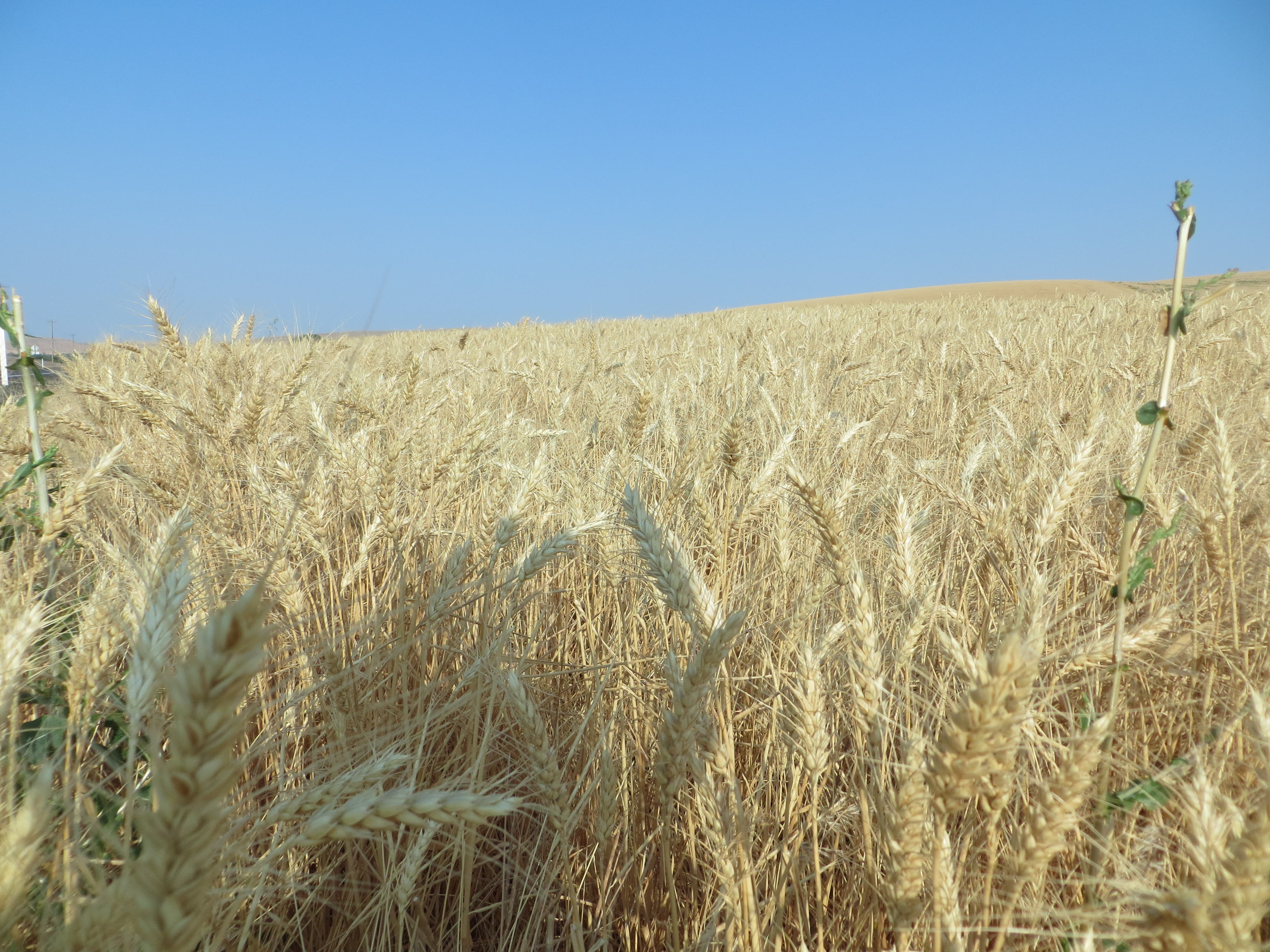
Wheat field
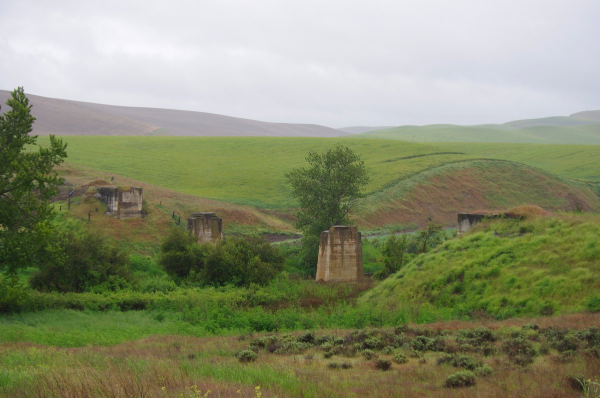
ex-Bridge over the Touchet River
Prescott, WA 10.30.11 15.55 IMG_0809

Truck Trail
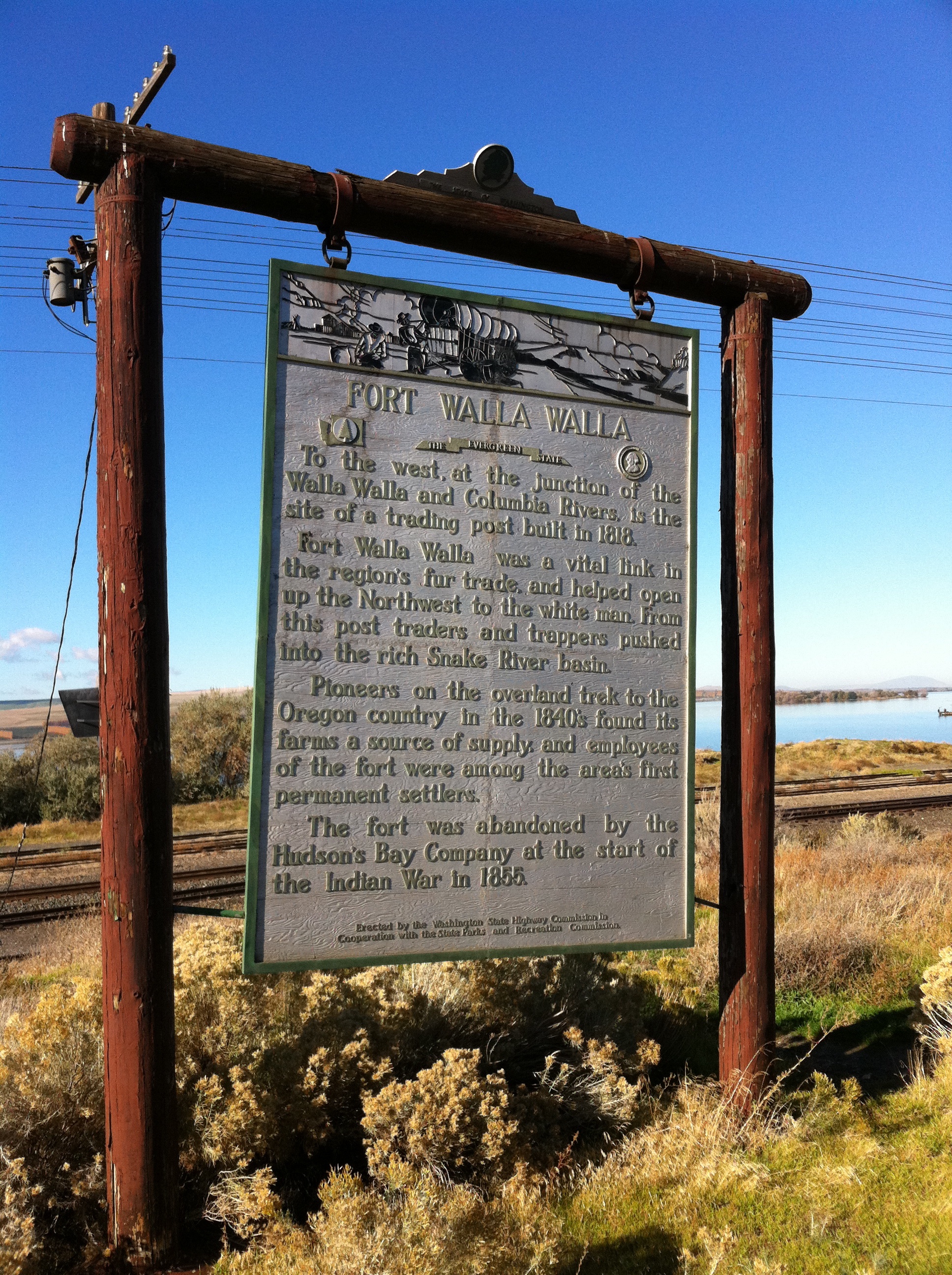
Lewis and Clark Trail. Hwy 124
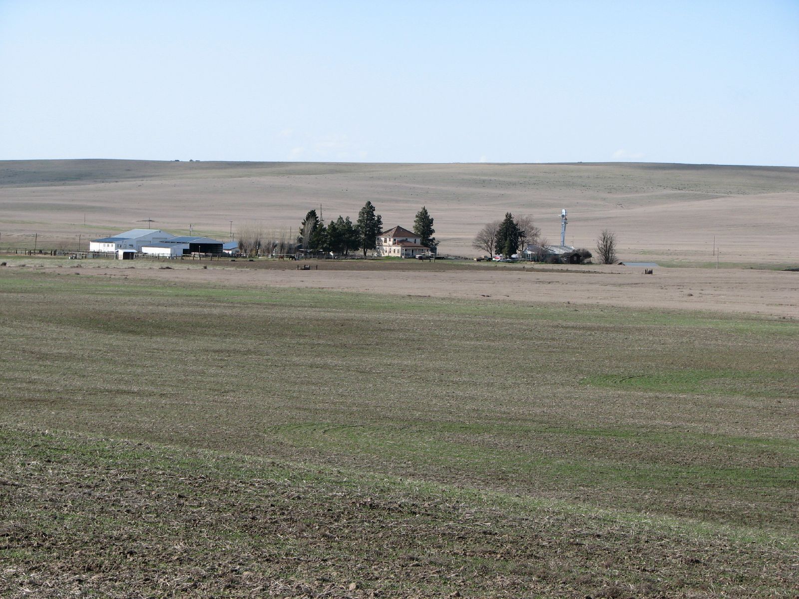
Hoffman Farmstead
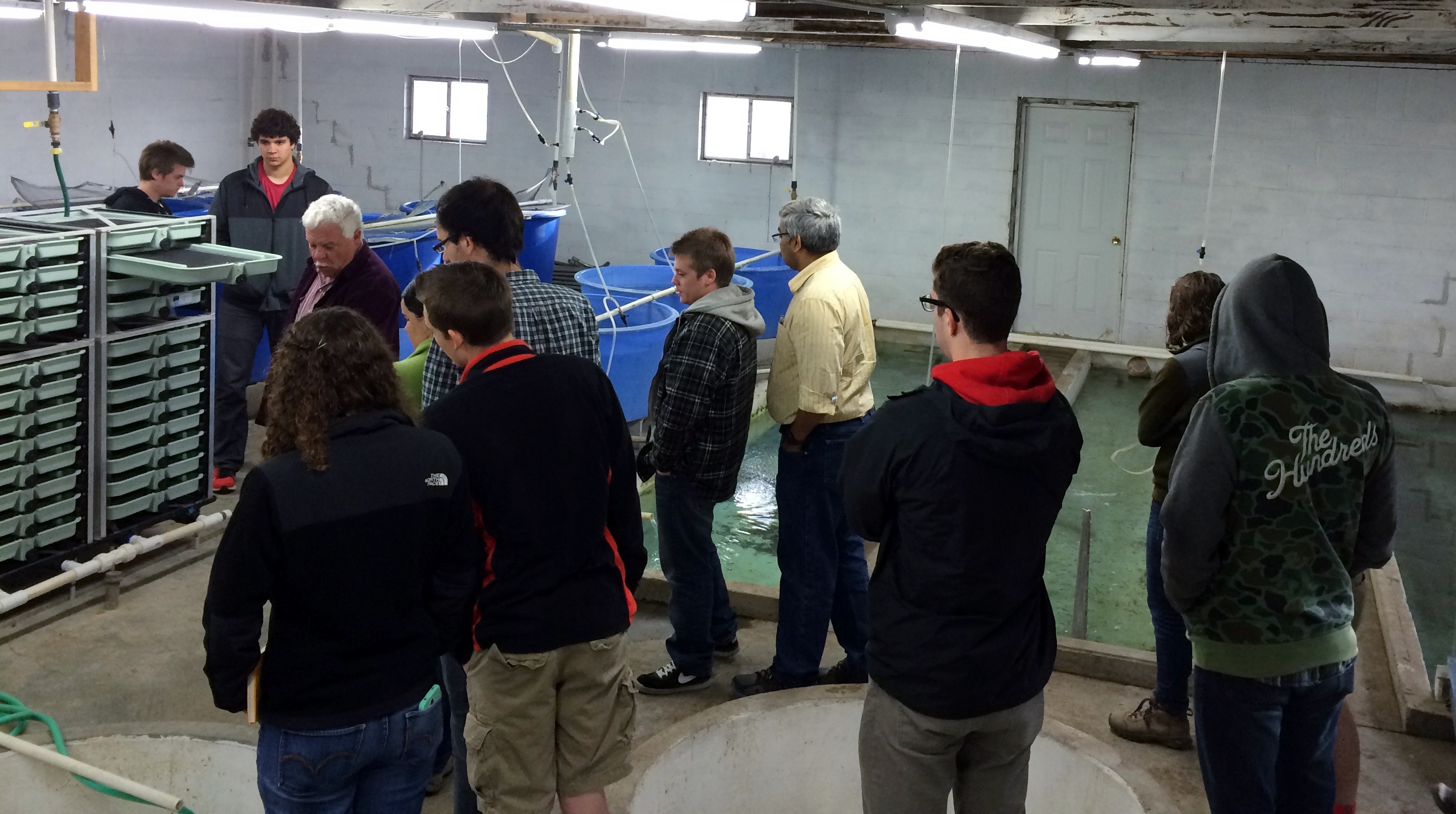
2014-15 BEE 469/70
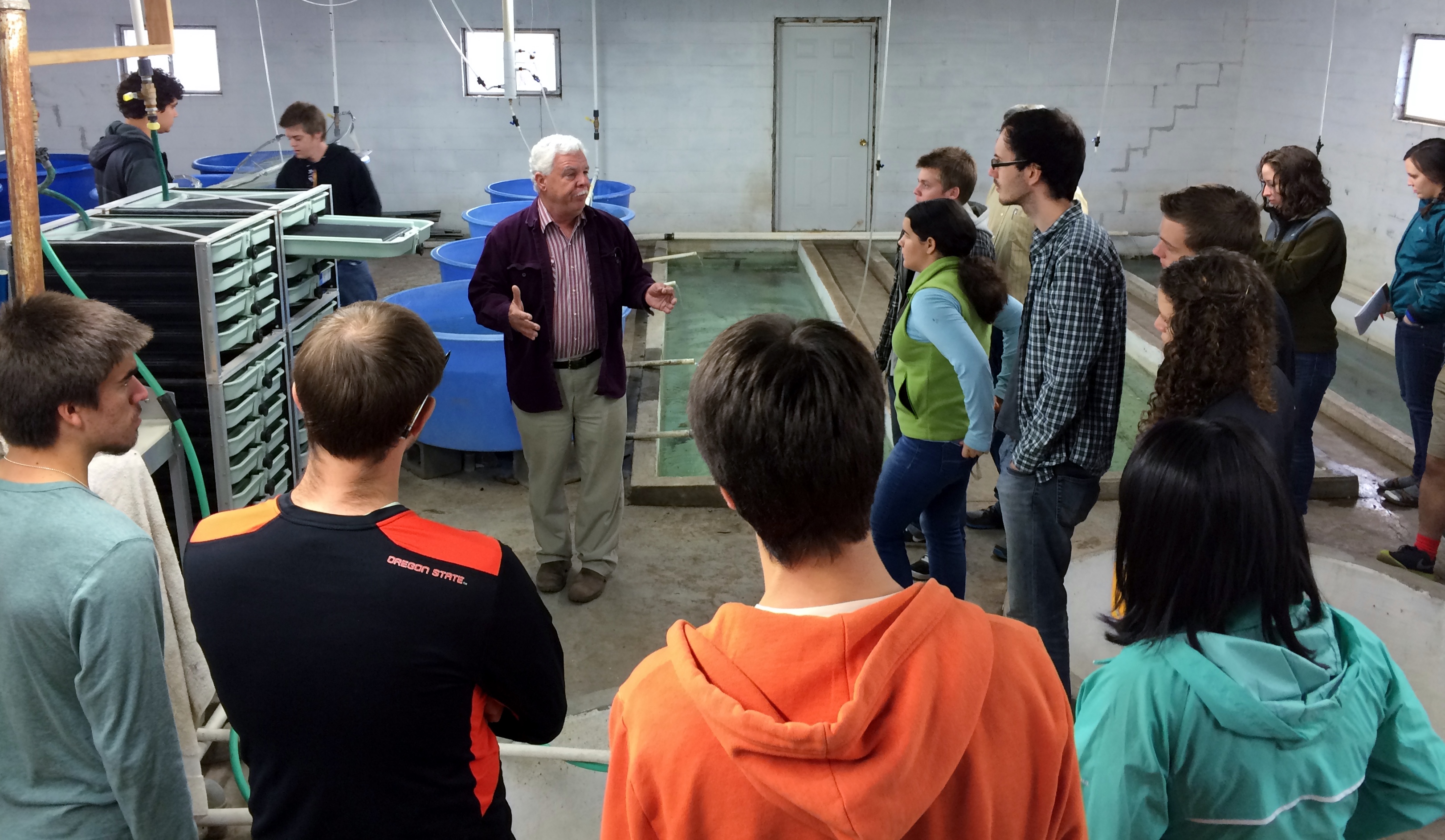
2014-15 BEE 469/70

2014-15 BEE 469/70

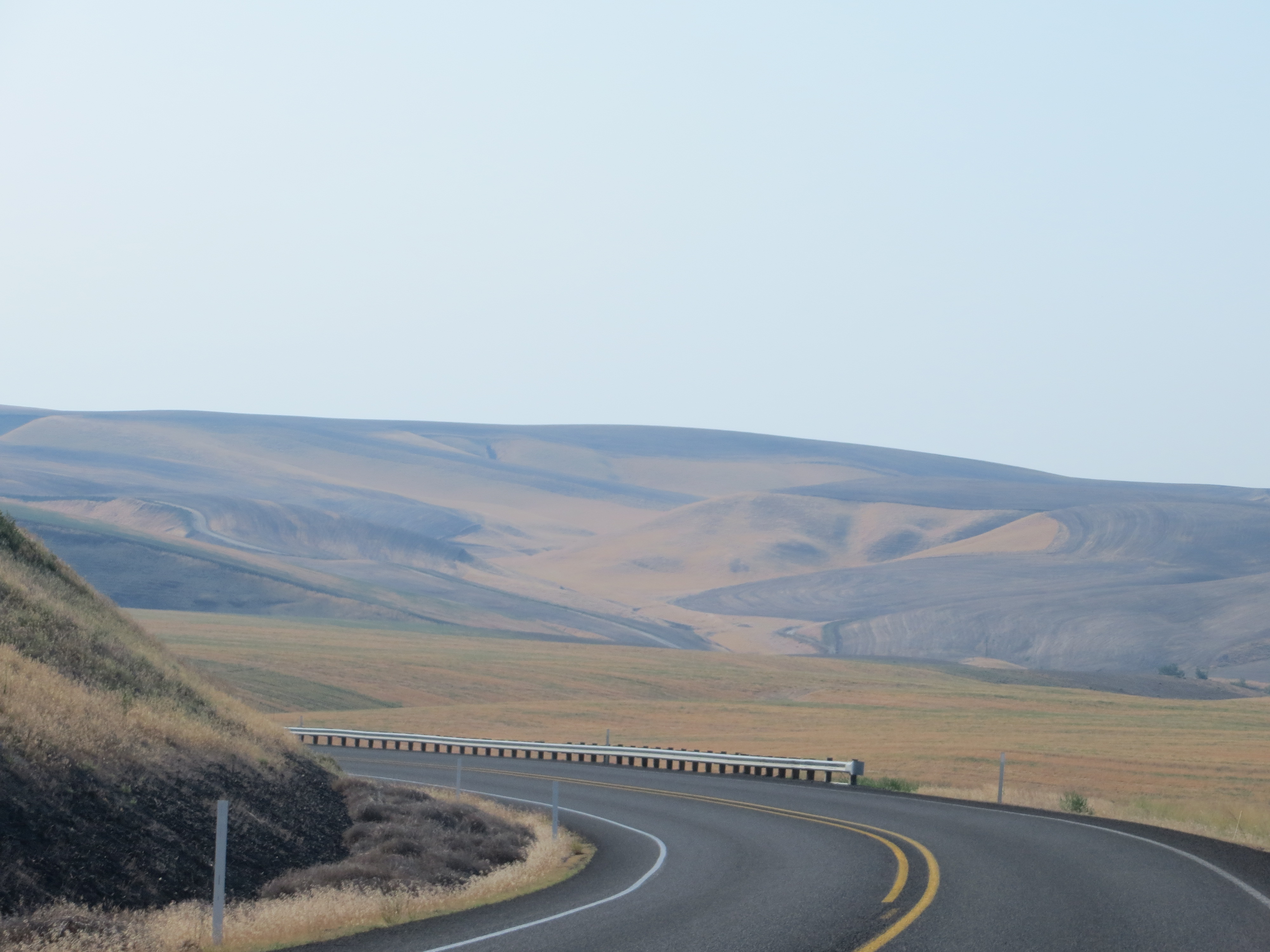
Stoping along 124
Walla Walla

Wolf billboard in La Grande, Oregon

Innocent Pup
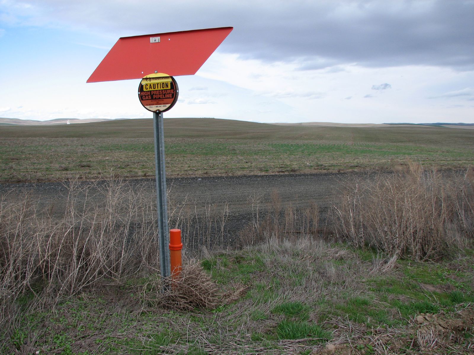
Natural Gas

Moorehead Road
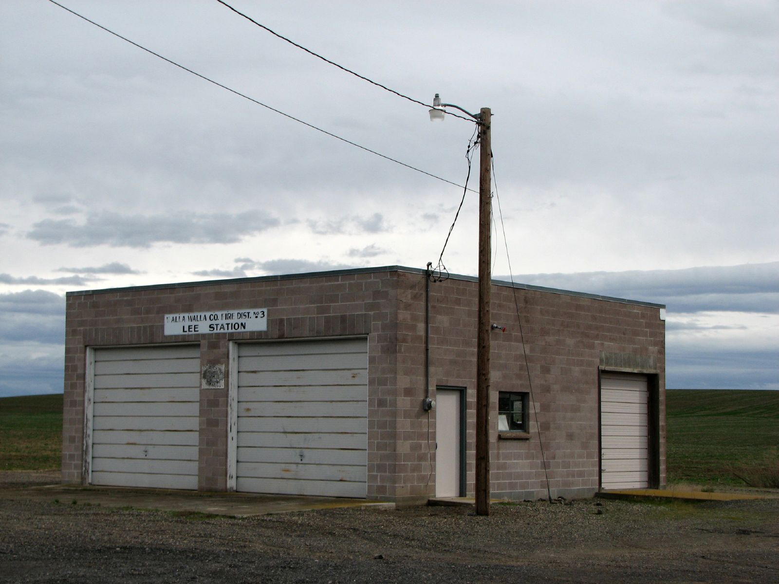
Lee Station
Road Bed
Topographic Map of Walla Walla County, WA, USA
Find elevation by address:

Places in Walla Walla County, WA, USA:
Walla Walla
Prescott
Touchet
Waitsburg
Burbank
College Place
Lyons Ferry Rd, Prescott, WA, USA
11 Gardena School Rd, Touchet, WA, USA
WA-, Waitsburg, WA, USA
Lowden
Port Kelley
Wallula
Places near Walla Walla County, WA, USA:
37 Cellar Rd, Prescott, WA, USA
Adkins Rd, Prescott, WA, USA
Wehe Loop, Prescott, WA, USA
406 Lower Dry Creek Rd
Lowden
68 Pettyjohn Rd, Walla Walla, WA, USA
Detour Road
WA-, Prescott, WA, USA
Touchet
Sudbury Rd, Walla Walla, WA, USA
5096 Frog Hollow Rd
Jacobs Road
Whitman Mission Road
11 Gardena School Rd, Touchet, WA, USA
939 Bergevin Springs Rd
Bergevin Springs Rd, Walla Walla, WA, USA
S Campbell Rd, Walla Walla, WA, USA
282 Valley Chapel Rd
Levey Rd, Pasco, WA, USA
Mojonnier Rd, Walla Walla, WA, USA
Recent Searches:
- Elevation of Corso Fratelli Cairoli, 35, Macerata MC, Italy
- Elevation of Tallevast Rd, Sarasota, FL, USA
- Elevation of 4th St E, Sonoma, CA, USA
- Elevation of Black Hollow Rd, Pennsdale, PA, USA
- Elevation of Oakland Ave, Williamsport, PA, USA
- Elevation of Pedrógão Grande, Portugal
- Elevation of Klee Dr, Martinsburg, WV, USA
- Elevation of Via Roma, Pieranica CR, Italy
- Elevation of Tavkvetili Mountain, Georgia
- Elevation of Hartfords Bluff Cir, Mt Pleasant, SC, USA