Elevation of Touchet, WA, USA
Location: United States > Washington > Walla Walla County >
Longitude: -118.6722078
Latitude: 46.0398567
Elevation: 135m / 443feet
Barometric Pressure: 0KPa
Related Photos:
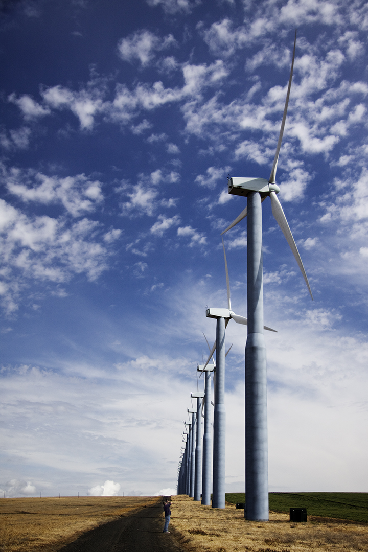
John Meets the Windmills
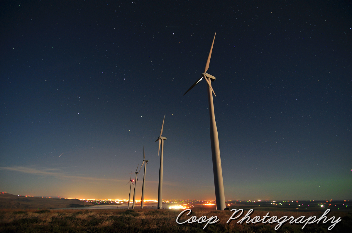
Elements Of Wallula

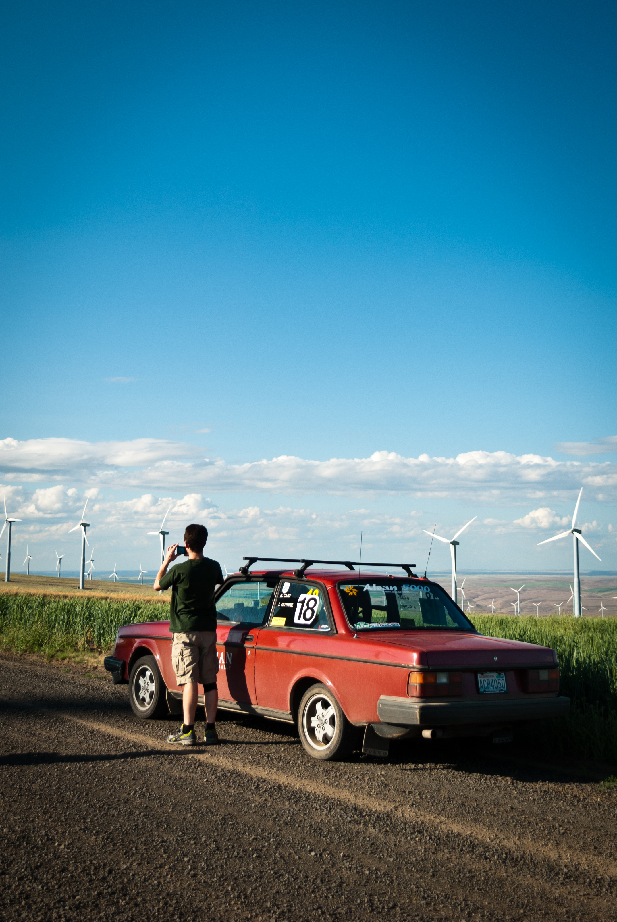
The view from our first checkpoint.
SEC #16, Juniper Canyon, mileage 18.31
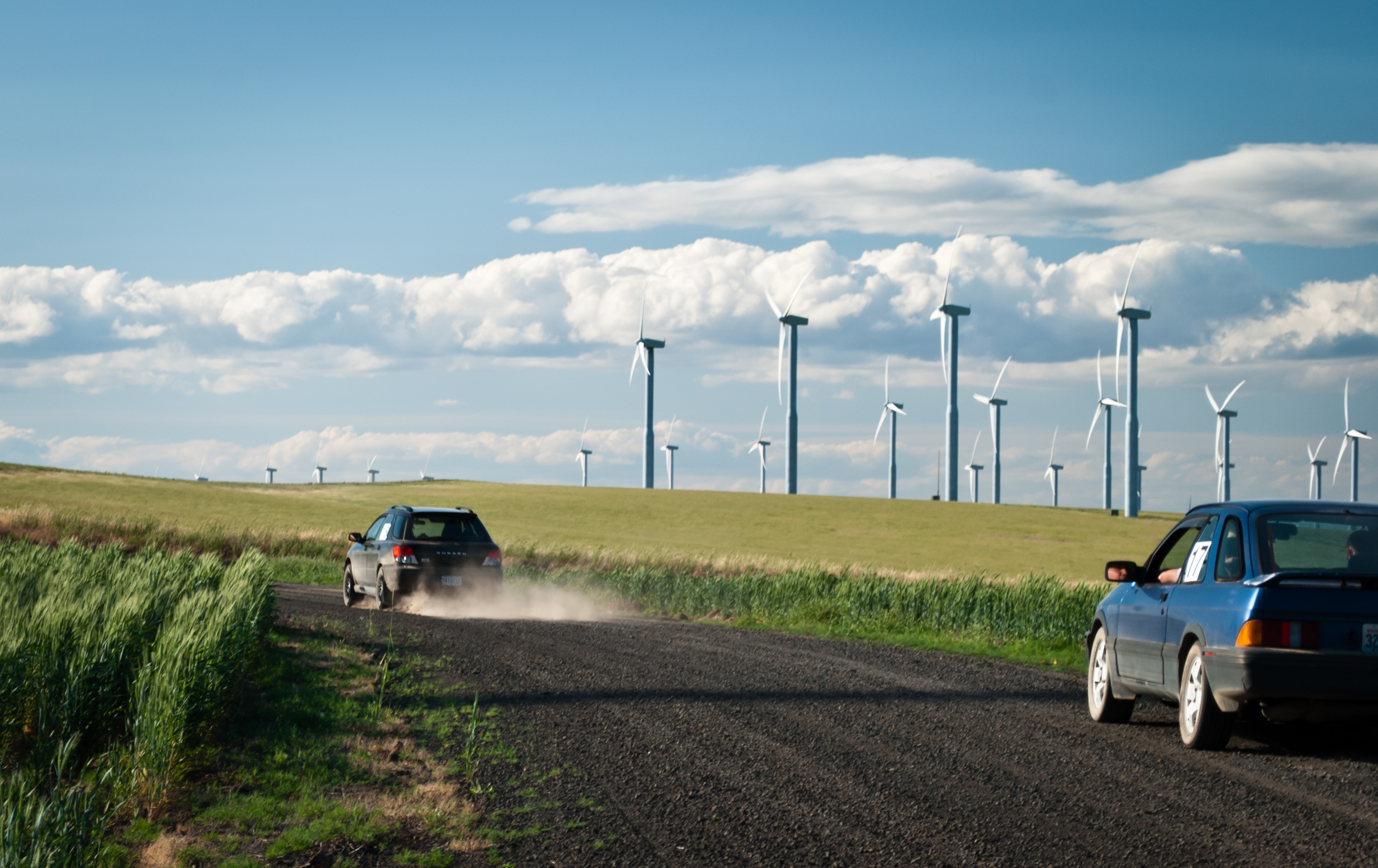
SEC #16, Juniper Canyon, mileage 18.31

Gristmill and Walla Walla River sites

Whitman Station grounds

Memorial Hill from the Gristmill site

What Narcissa Last Saw

The View through the Sitting Room Window

Gristmill site from across grounds, Whitman Mission NHS

From Corral site to Mission House site

View on the northern side of Monument Hill

North from the Mission Grounds

Whitman Station site from site of Whitman's farm fields

View looking from the corrals site to the blacksmith shop site

The View from behind the Visitor's Center

From the Blacksmith's Shop, looking West

View of Emigrant House from site of Blacksmith Shop

Site of the Main Mission House

From the Corrals toward the Mission House
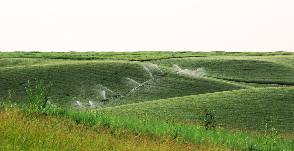
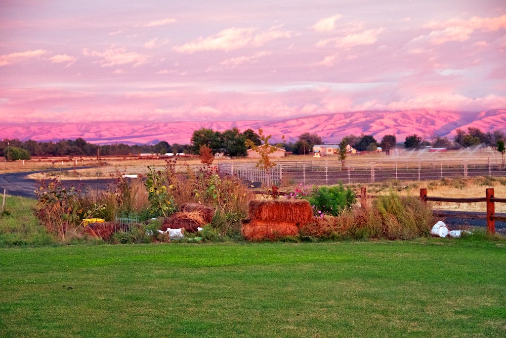
Rolling hills of Walla Walla

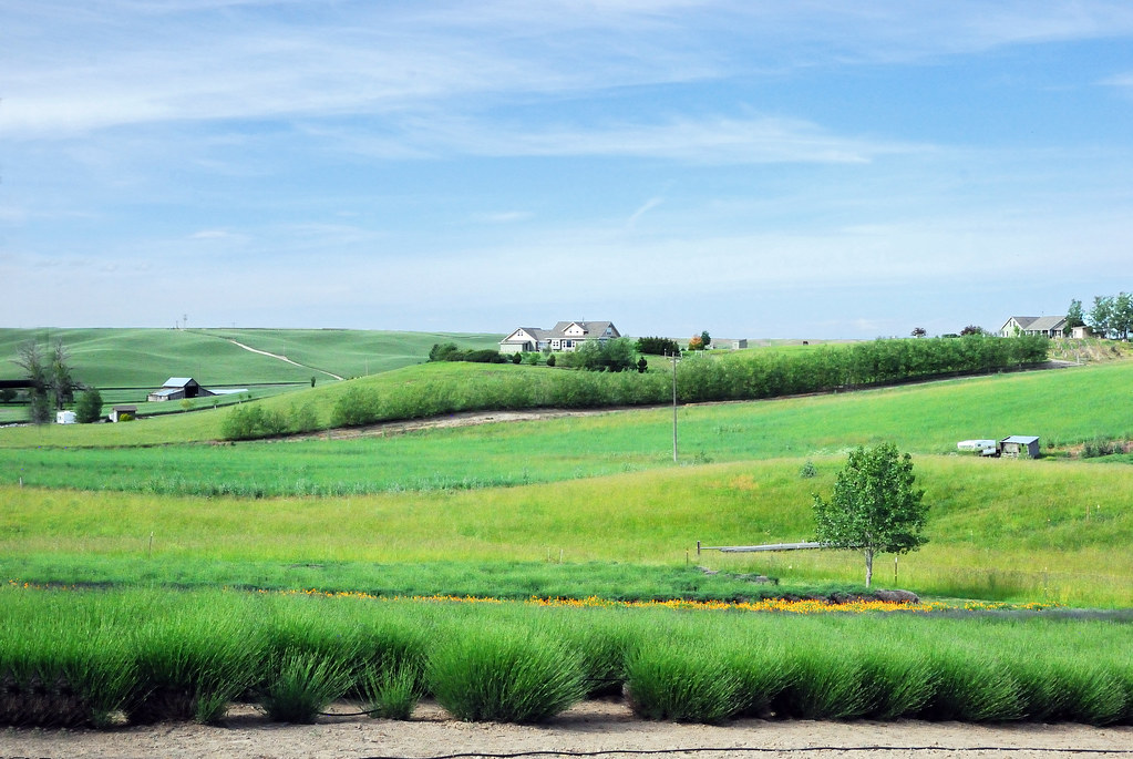
Farms and rolling hills
Walla Walla country side
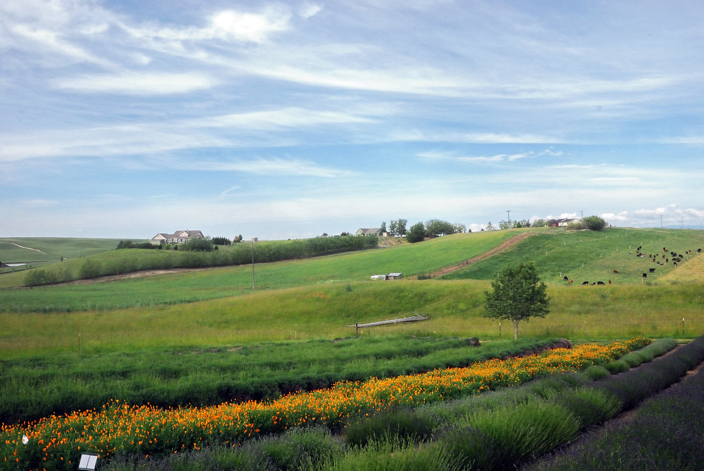
Lavender farm near walla walla

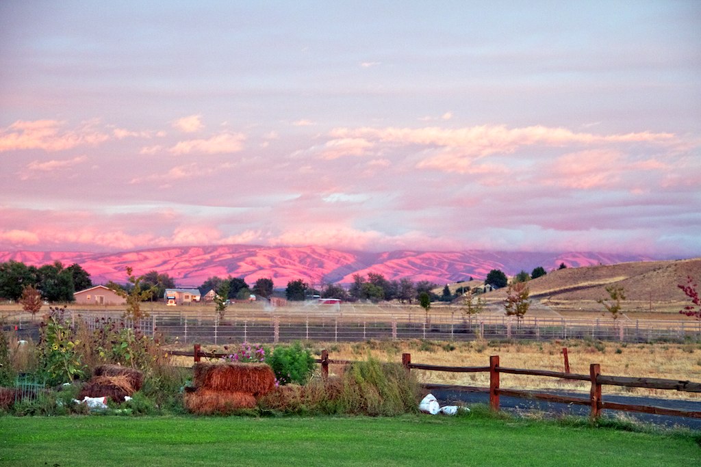
Wine Valley

2012-12-01 15.22.57

2012-12-01 16.03.10

2012-12-01 15.23.16

2012-12-01 15.17.55

2012-12-01 15.18.23

Sunset #2

Wine Valley
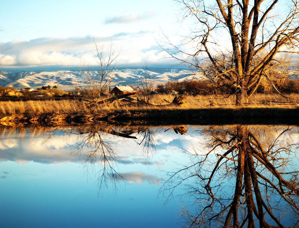
Mill Pond at Whitman Mission...
Sunset at the Ranch 13

2012-12-01 15.21.32
Sunset at the Ranch 11

2012-12-01 15.59.41
Sunset at the Ranch 1

Sunset over the western plains
Topographic Map of Touchet, WA, USA
Find elevation by address:

Places in Touchet, WA, USA:
Depot Rd, Touchet, WA, USA
89 US-, Touchet, WA, USA
US-12, Touchet, WA, USA
Lake Wallula
Jacobs Road
5096 Frog Hollow Rd
Places near Touchet, WA, USA:
11 Gardena School Rd, Touchet, WA, USA
Jacobs Road
Lowden
406 Lower Dry Creek Rd
Detour Road
5096 Frog Hollow Rd
US-12, Touchet, WA, USA
Whitman Mission Road
Adkins Rd, Prescott, WA, USA
Walla Walla County
282 Valley Chapel Rd
Wallula
89 US-, Touchet, WA, USA
Sudbury Rd, Walla Walla, WA, USA
Mojonnier Rd, Walla Walla, WA, USA
Depot Rd, Touchet, WA, USA
Lake Wallula
Stateline Rd, Walla Walla, WA, USA
Port Kelley
S Campbell Rd, Walla Walla, WA, USA
Recent Searches:
- Elevation map of Greenland, Greenland
- Elevation of Sullivan Hill, New York, New York, 10002, USA
- Elevation of Morehead Road, Withrow Downs, Charlotte, Mecklenburg County, North Carolina, 28262, USA
- Elevation of 2800, Morehead Road, Withrow Downs, Charlotte, Mecklenburg County, North Carolina, 28262, USA
- Elevation of Yangbi Yi Autonomous County, Yunnan, China
- Elevation of Pingpo, Yangbi Yi Autonomous County, Yunnan, China
- Elevation of Mount Malong, Pingpo, Yangbi Yi Autonomous County, Yunnan, China
- Elevation map of Yongping County, Yunnan, China
- Elevation of North 8th Street, Palatka, Putnam County, Florida, 32177, USA
- Elevation of 107, Big Apple Road, East Palatka, Putnam County, Florida, 32131, USA
- Elevation of Jiezi, Chongzhou City, Sichuan, China
- Elevation of Chongzhou City, Sichuan, China
- Elevation of Huaiyuan, Chongzhou City, Sichuan, China
- Elevation of Qingxia, Chengdu, Sichuan, China
- Elevation of Corso Fratelli Cairoli, 35, Macerata MC, Italy
- Elevation of Tallevast Rd, Sarasota, FL, USA
- Elevation of 4th St E, Sonoma, CA, USA
- Elevation of Black Hollow Rd, Pennsdale, PA, USA
- Elevation of Oakland Ave, Williamsport, PA, USA
- Elevation of Pedrógão Grande, Portugal