Elevation of Adkins Rd, Prescott, WA, USA
Location: United States > Washington > Walla Walla County > Prescott >
Longitude: -118.70884
Latitude: 46.249629
Elevation: 308m / 1010feet
Barometric Pressure: 98KPa
Elevation Map:
Satellite Map:
Related Photos:
It's going to rain again
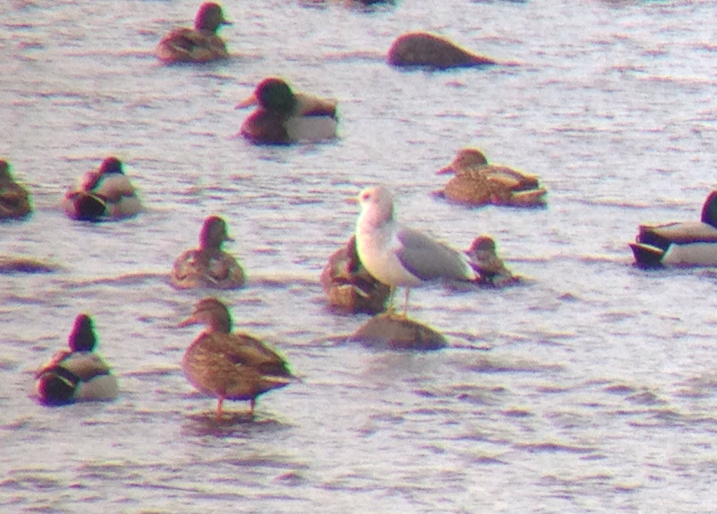
Mew Gull
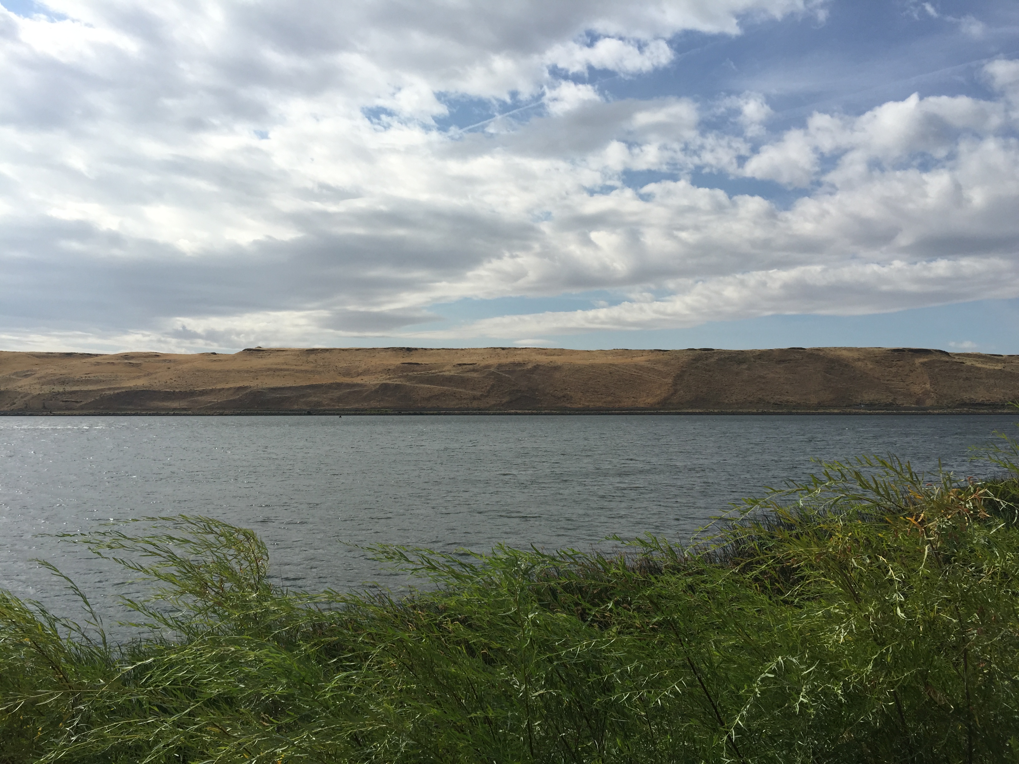
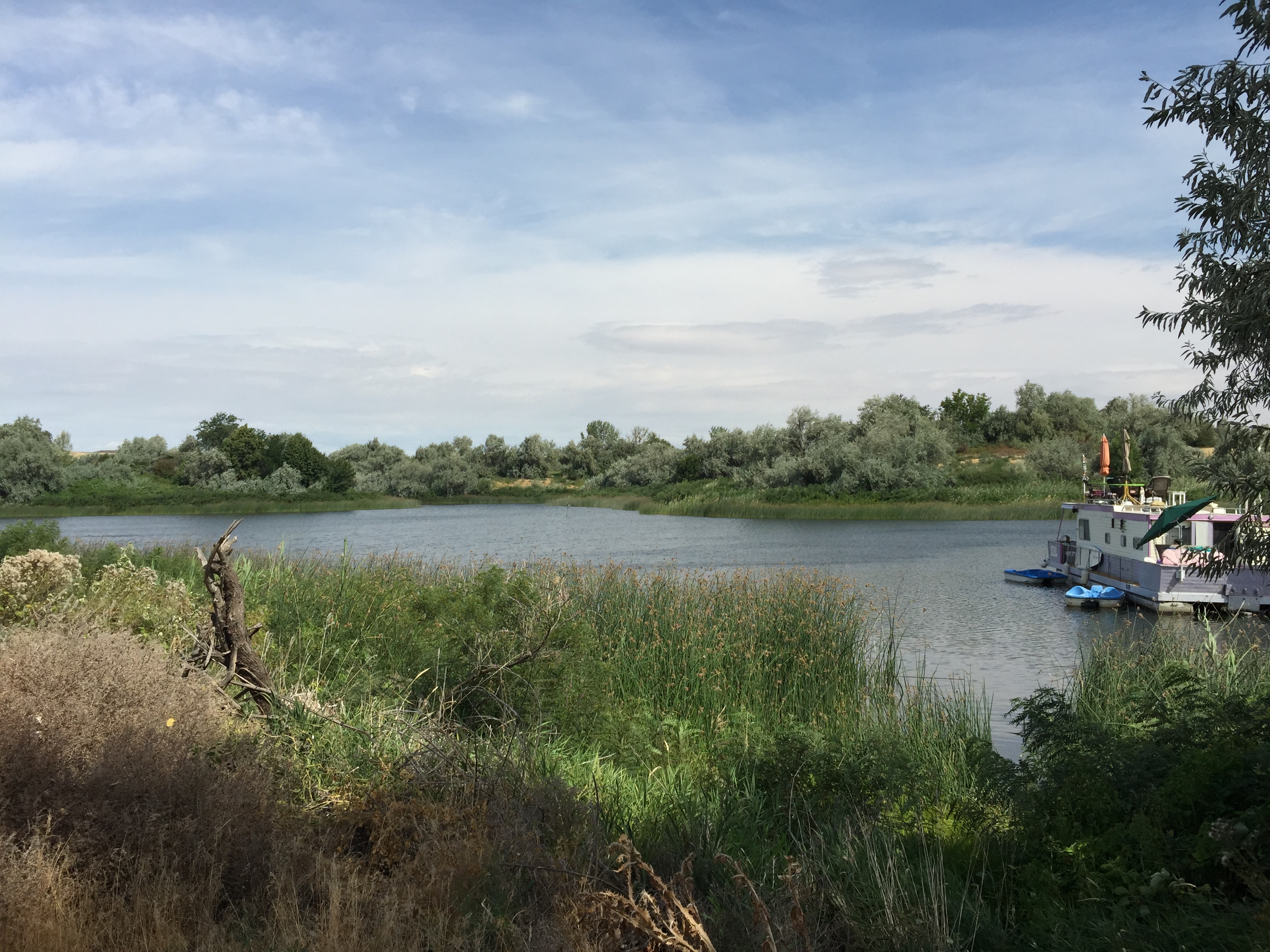
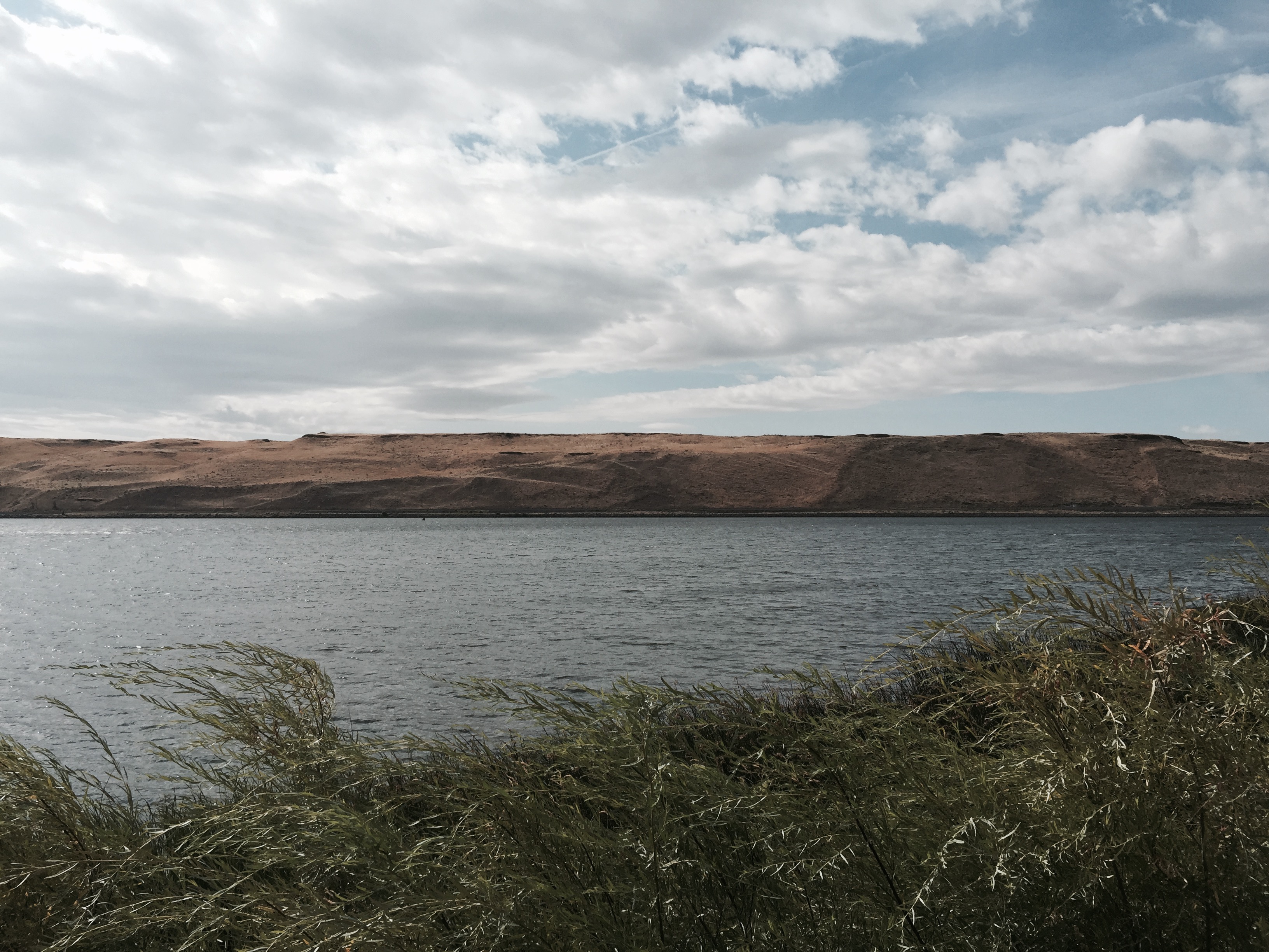
Phone picture of lake.
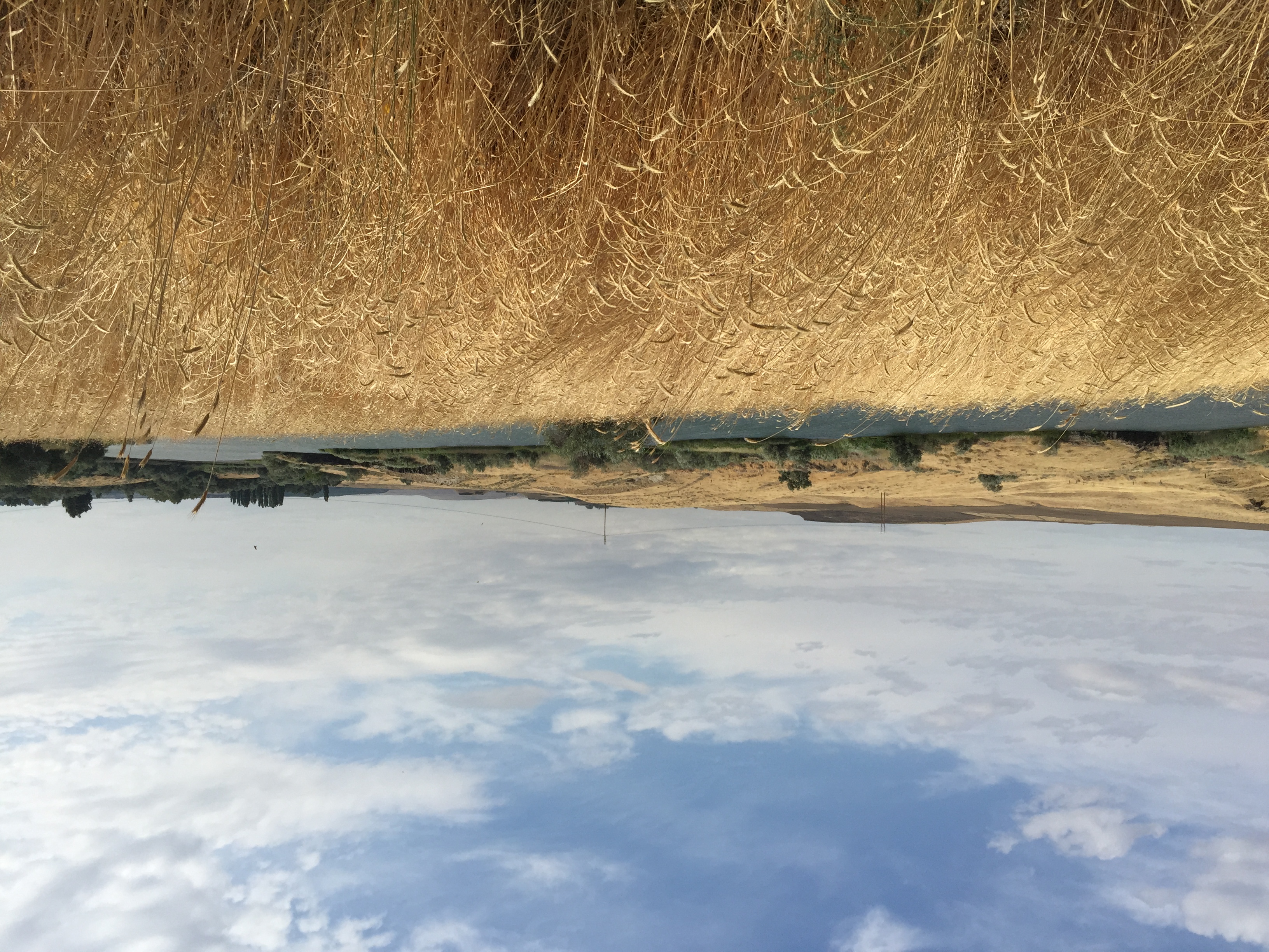
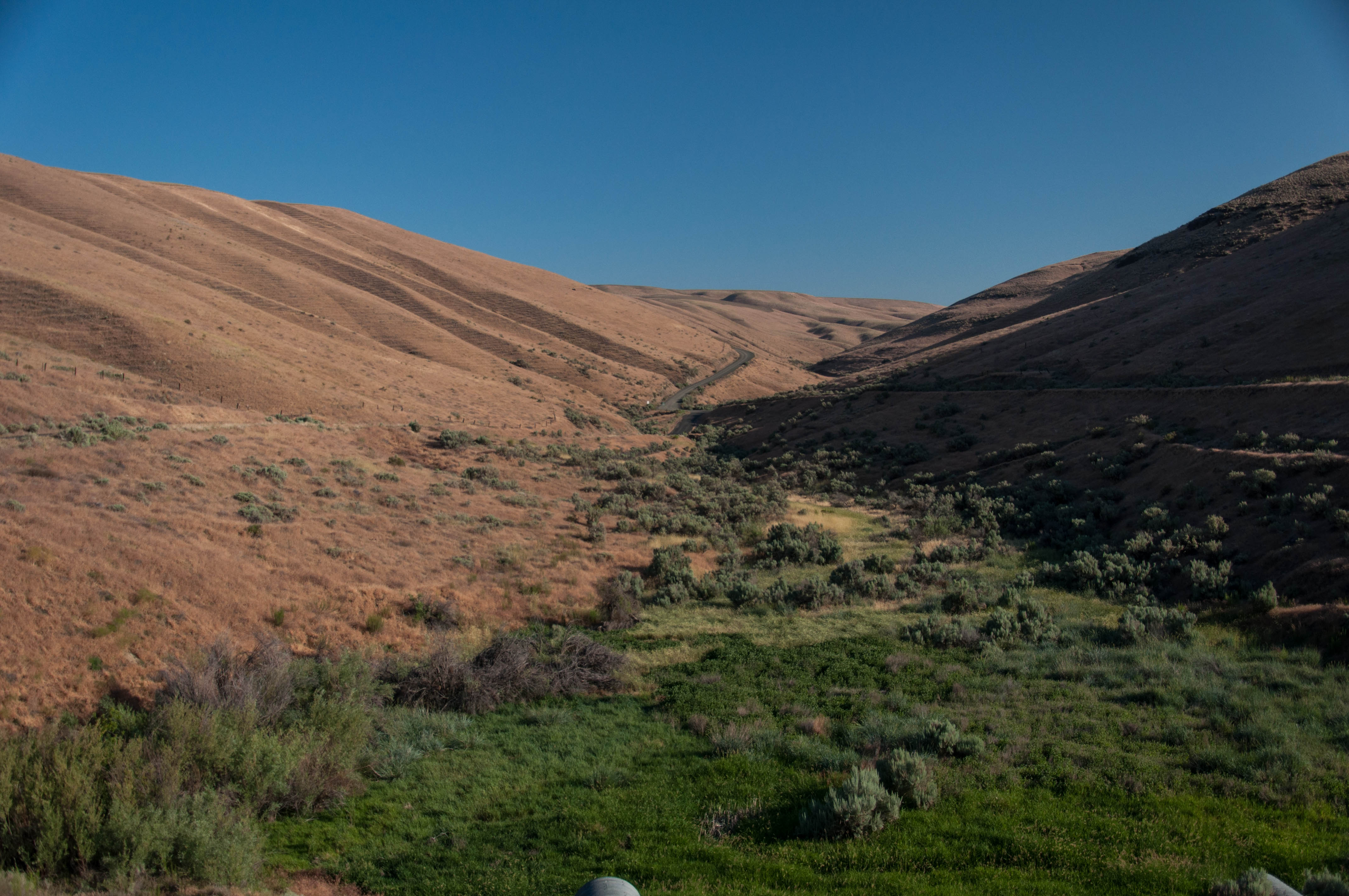
Phone picture from trail.

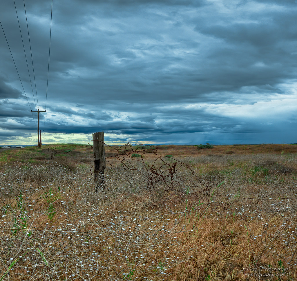
The Road to the Storm
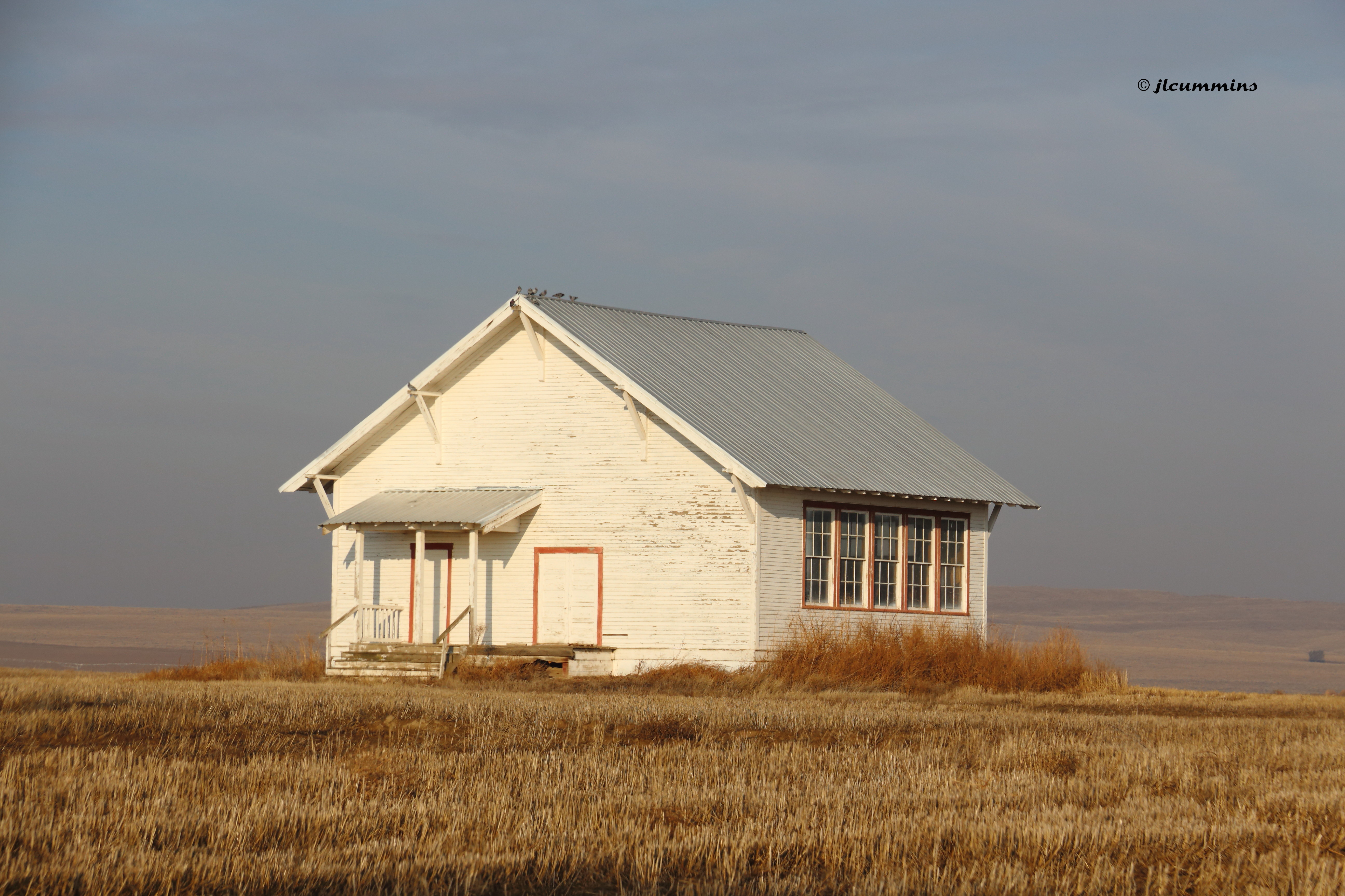
Abandoned one room school, Pasco-Kahlotus Rd
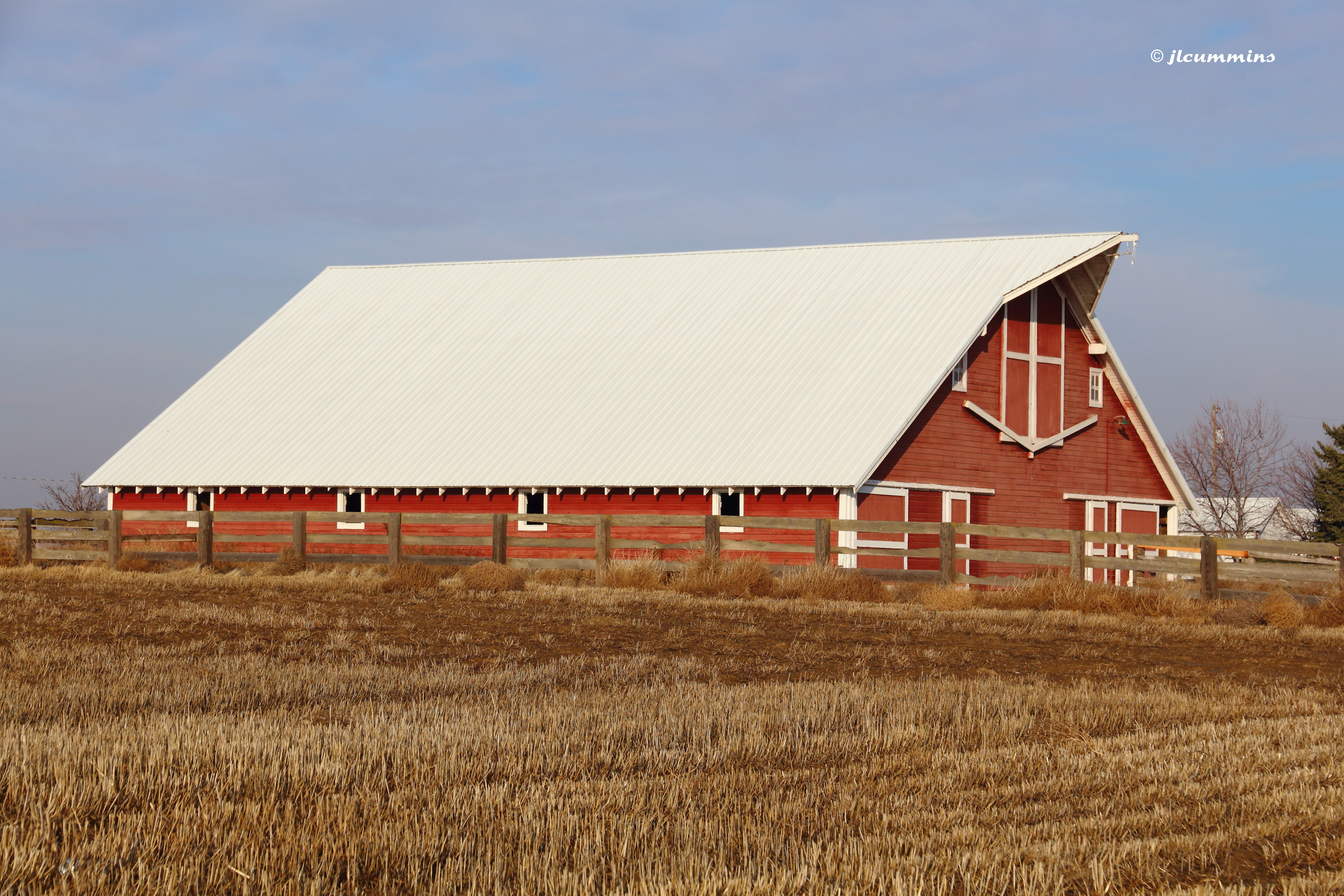
Barn along Pasco-Kahlotus Rd

Pasco, WA.
Eastern Washington.
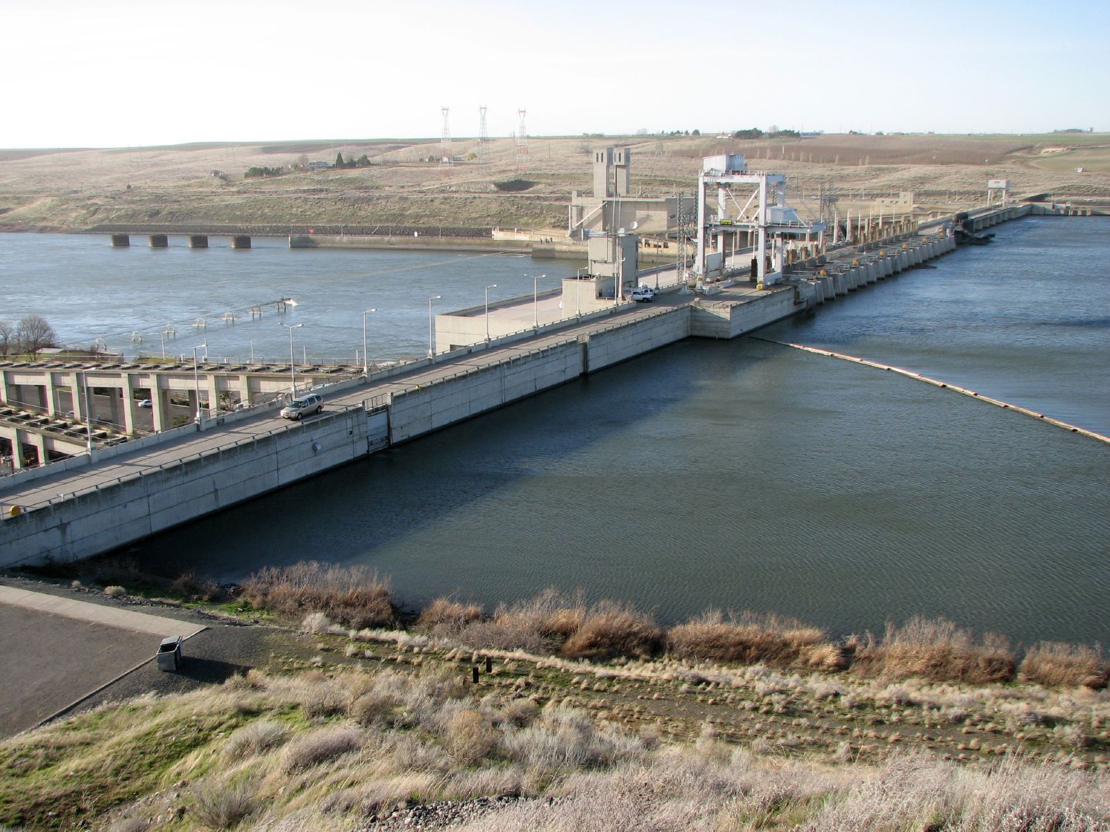
Ice Harbor Dam
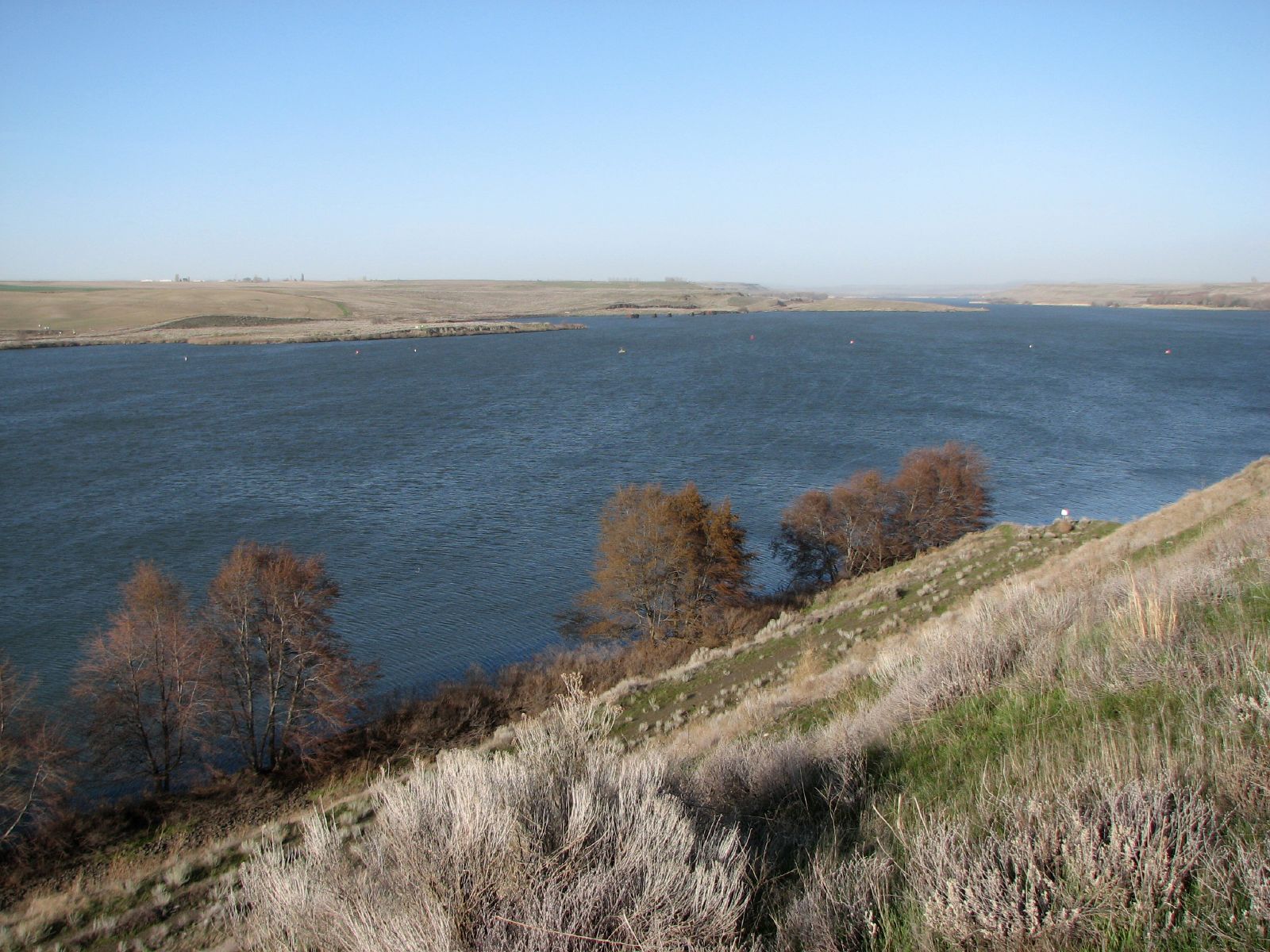
Lake Sacajawea
Phone picture from end of trail.
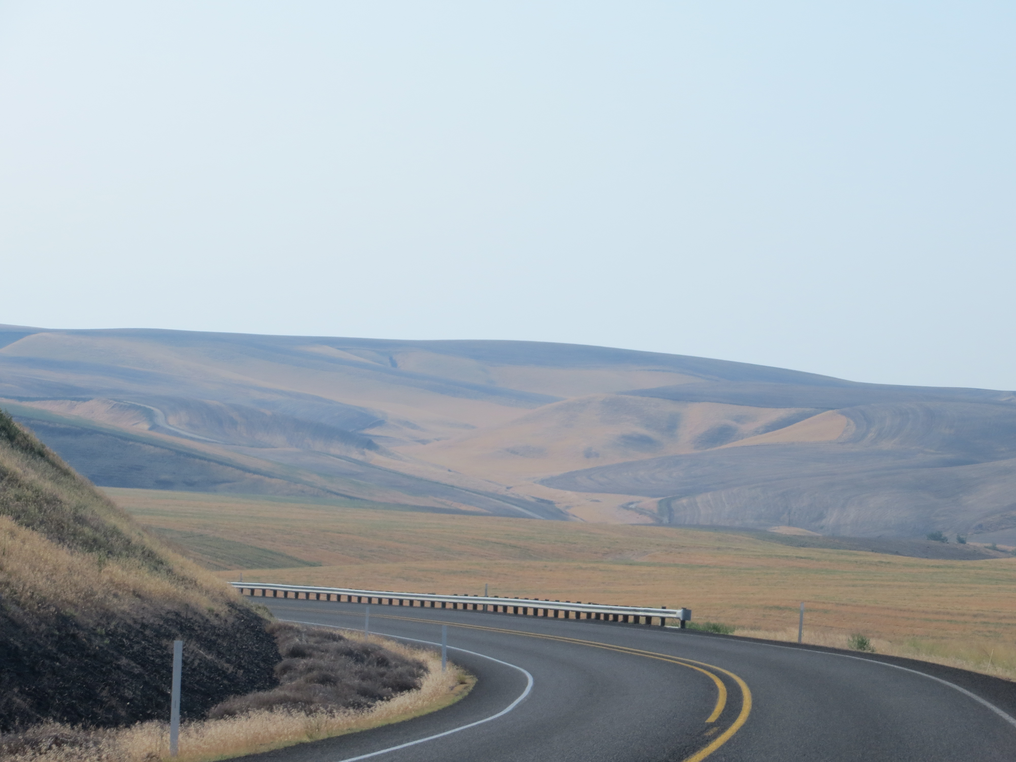
Columbia Plateau

Charbonneau Park
Lewis and Clark Trail. Hwy 124
Eastern Washington.
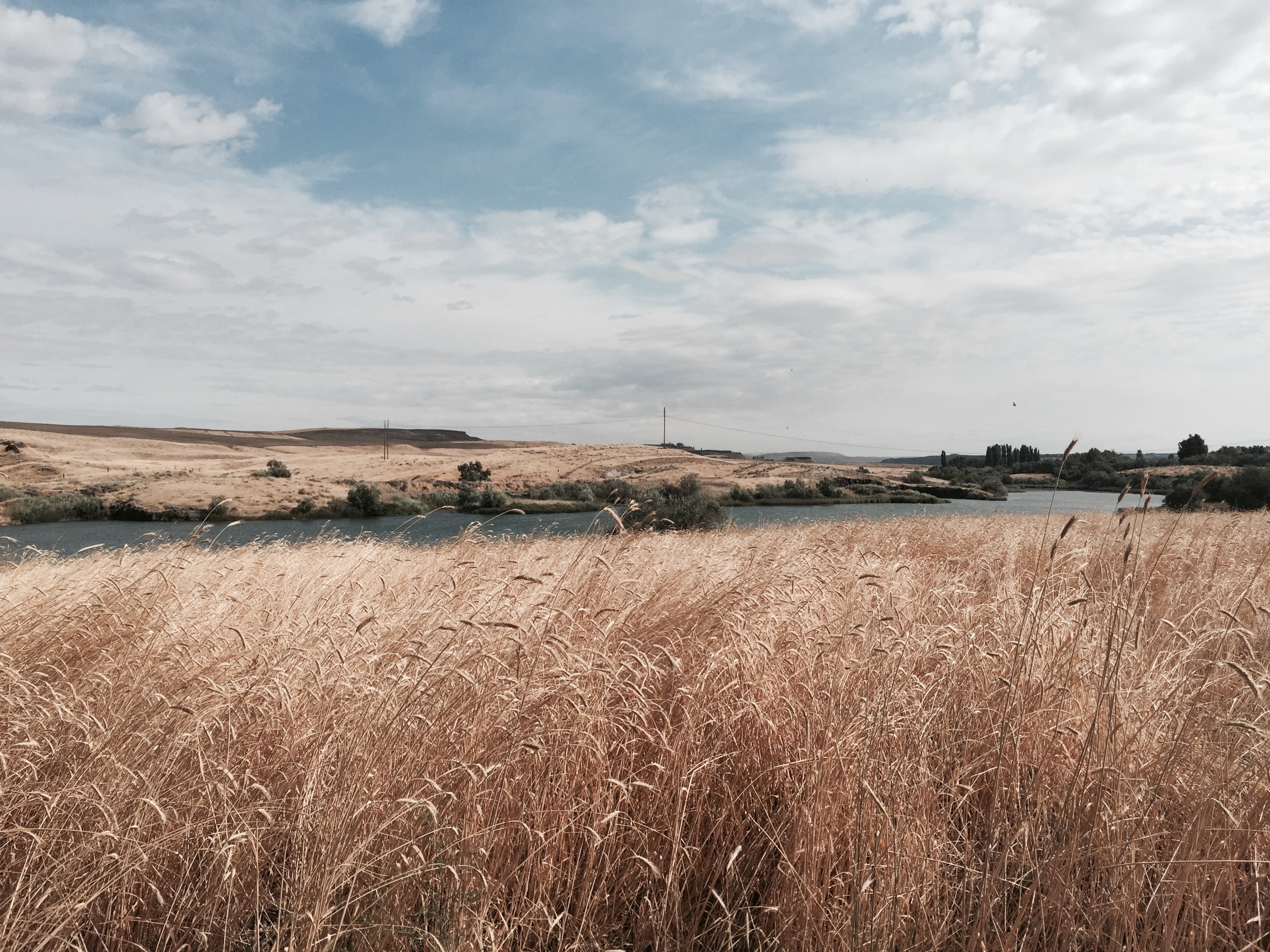
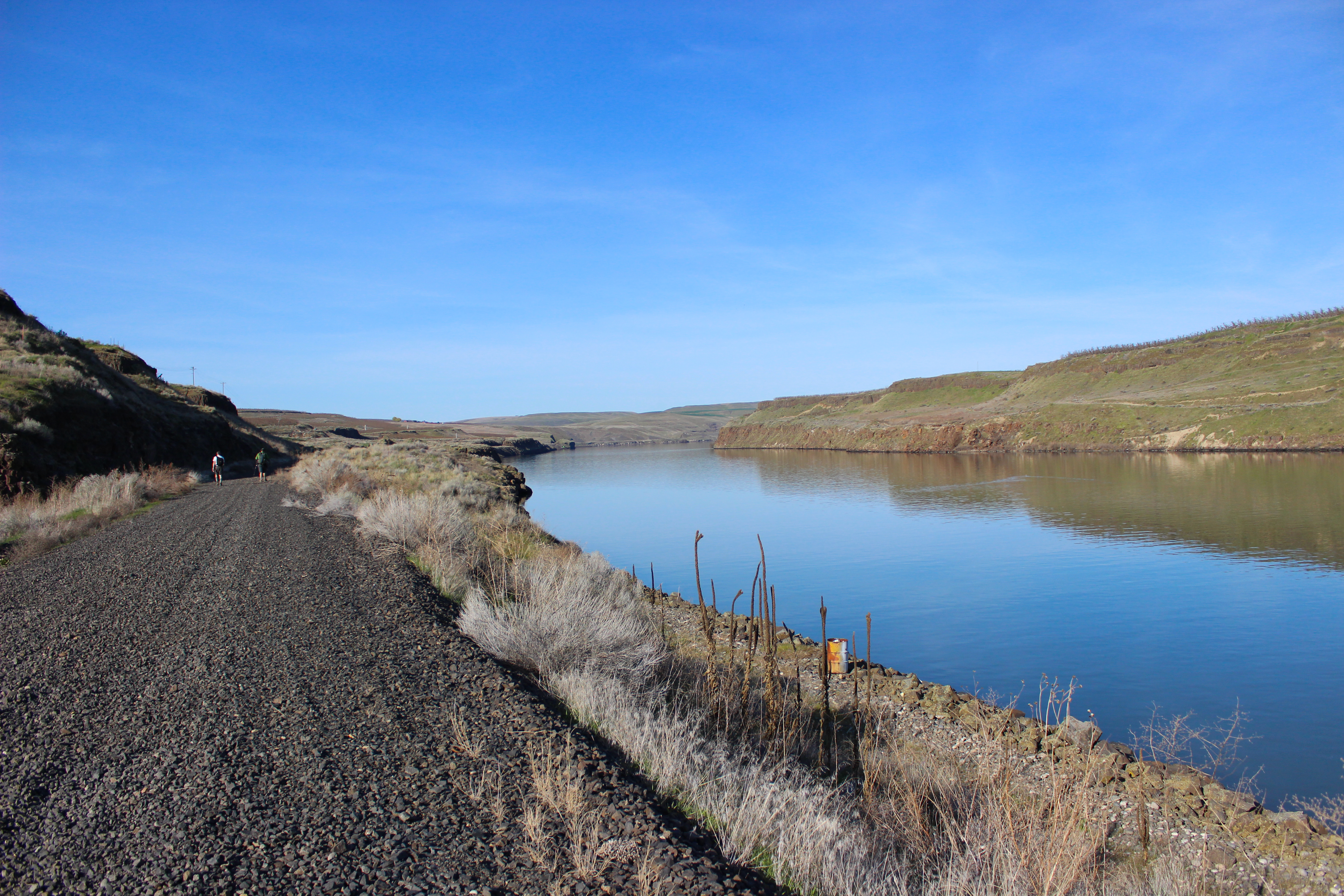
Along Snake River
Topographic Map of Adkins Rd, Prescott, WA, USA
Find elevation by address:

Places near Adkins Rd, Prescott, WA, USA:
Wehe Loop, Prescott, WA, USA
37 Cellar Rd, Prescott, WA, USA
Walla Walla County
Levey Rd, Pasco, WA, USA
Touchet
Lowden
US-12, Touchet, WA, USA
406 Lower Dry Creek Rd
11 Gardena School Rd, Touchet, WA, USA
Jacobs Road
Pasco, WA, USA
US-12, Burbank, WA, USA
Depot Rd, Touchet, WA, USA
Wallula
Lake Wallula
Detour Road
311 Paradise Dr
89 US-, Touchet, WA, USA
5096 Frog Hollow Rd
Burbank
Recent Searches:
- Elevation of Congressional Dr, Stevensville, MD, USA
- Elevation of Bellview Rd, McLean, VA, USA
- Elevation of Stage Island Rd, Chatham, MA, USA
- Elevation of Shibuya Scramble Crossing, 21 Udagawacho, Shibuya City, Tokyo -, Japan
- Elevation of Jadagoniai, Kaunas District Municipality, Lithuania
- Elevation of Pagonija rock, Kranto 7-oji g. 8"N, Kaunas, Lithuania
- Elevation of Co Rd 87, Jamestown, CO, USA
- Elevation of Tenjo, Cundinamarca, Colombia
- Elevation of Côte-des-Neiges, Montreal, QC H4A 3J6, Canada
- Elevation of Bobcat Dr, Helena, MT, USA