Elevation of Pasco, WA, USA
Location: United States > Washington > Franklin County > Pasco >
Longitude: -118.91976
Latitude: 46.3537739
Elevation: 233m / 764feet
Barometric Pressure: 99KPa
Elevation Map:
Satellite Map:
Related Photos:
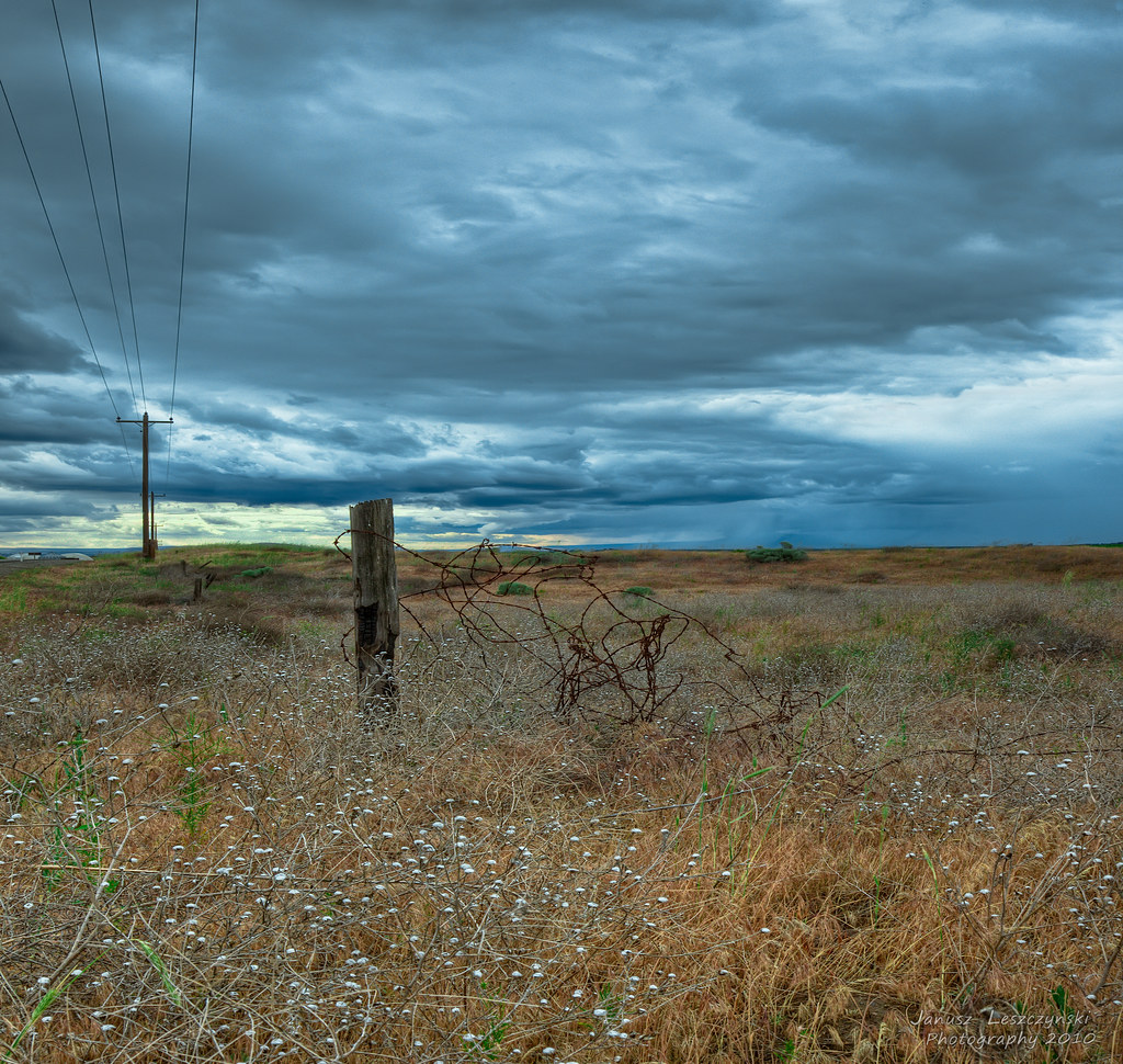
It's going to rain again
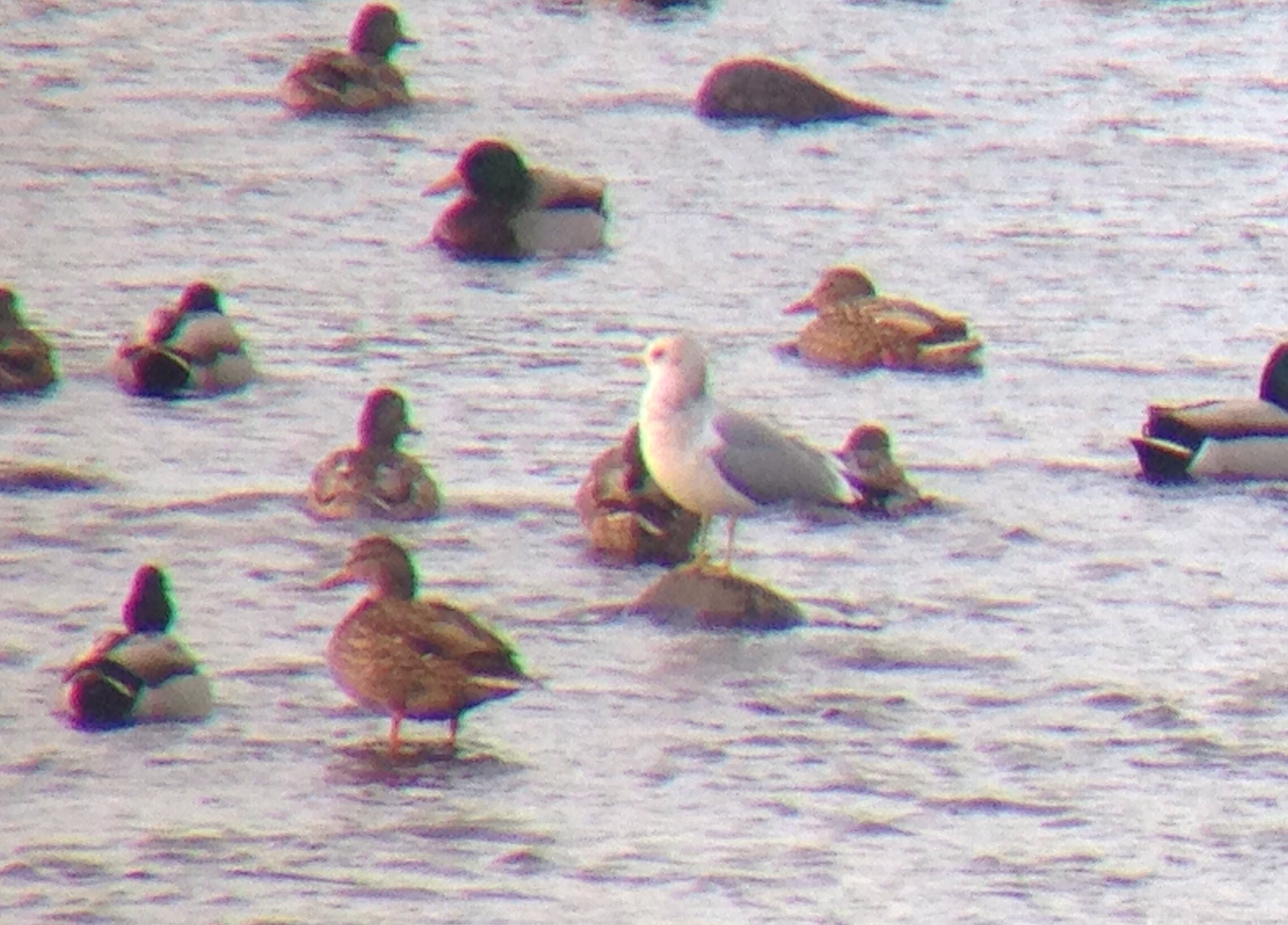
Mew Gull
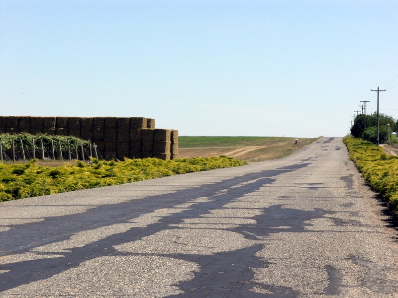
farm country road

Pacific Loon (Gavia pacifica)

Forgotten Toolshed
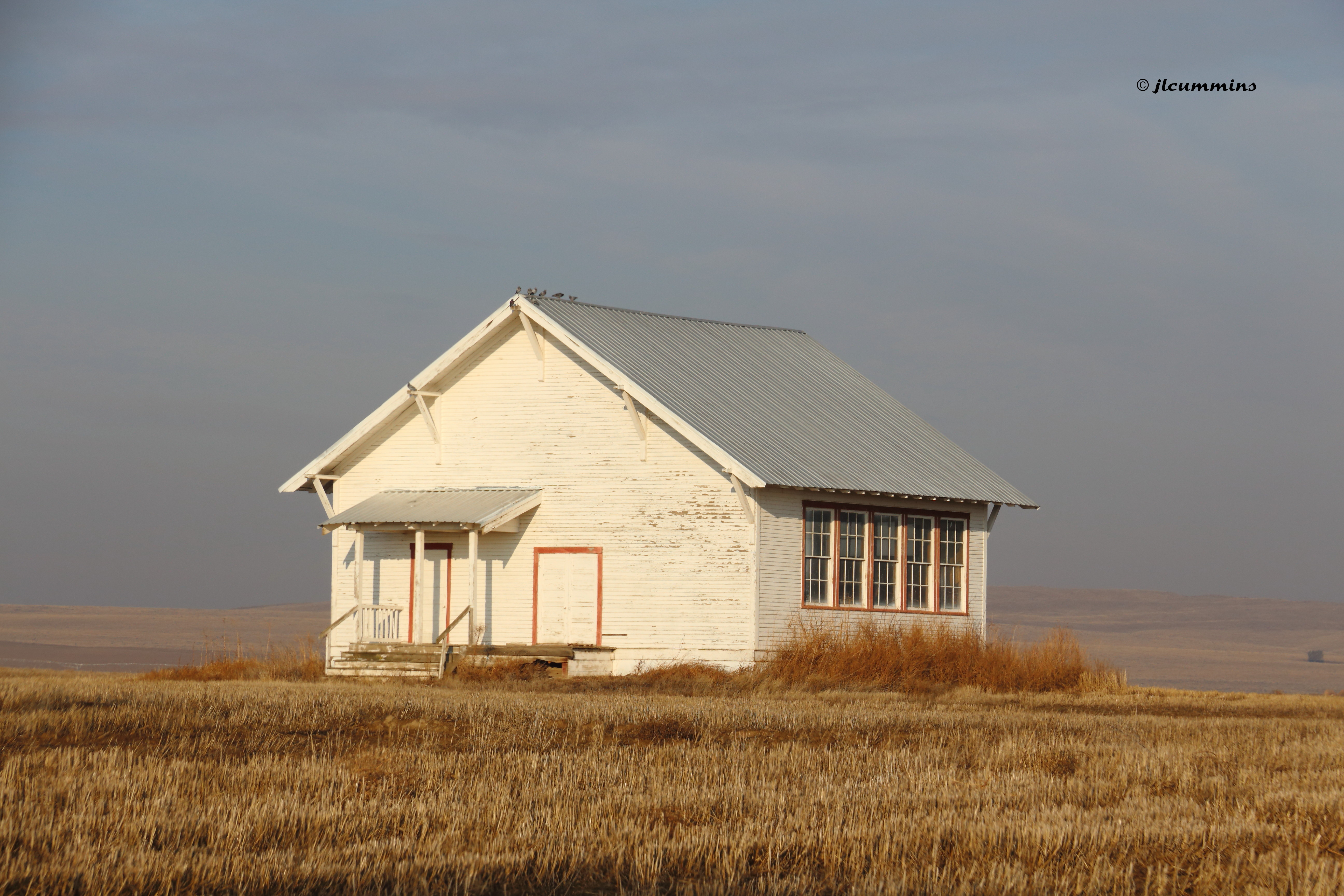
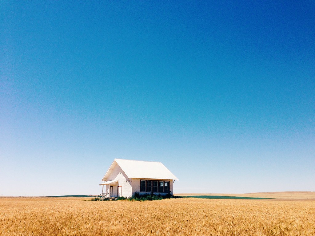
Abandoned one room school, Pasco-Kahlotus Rd
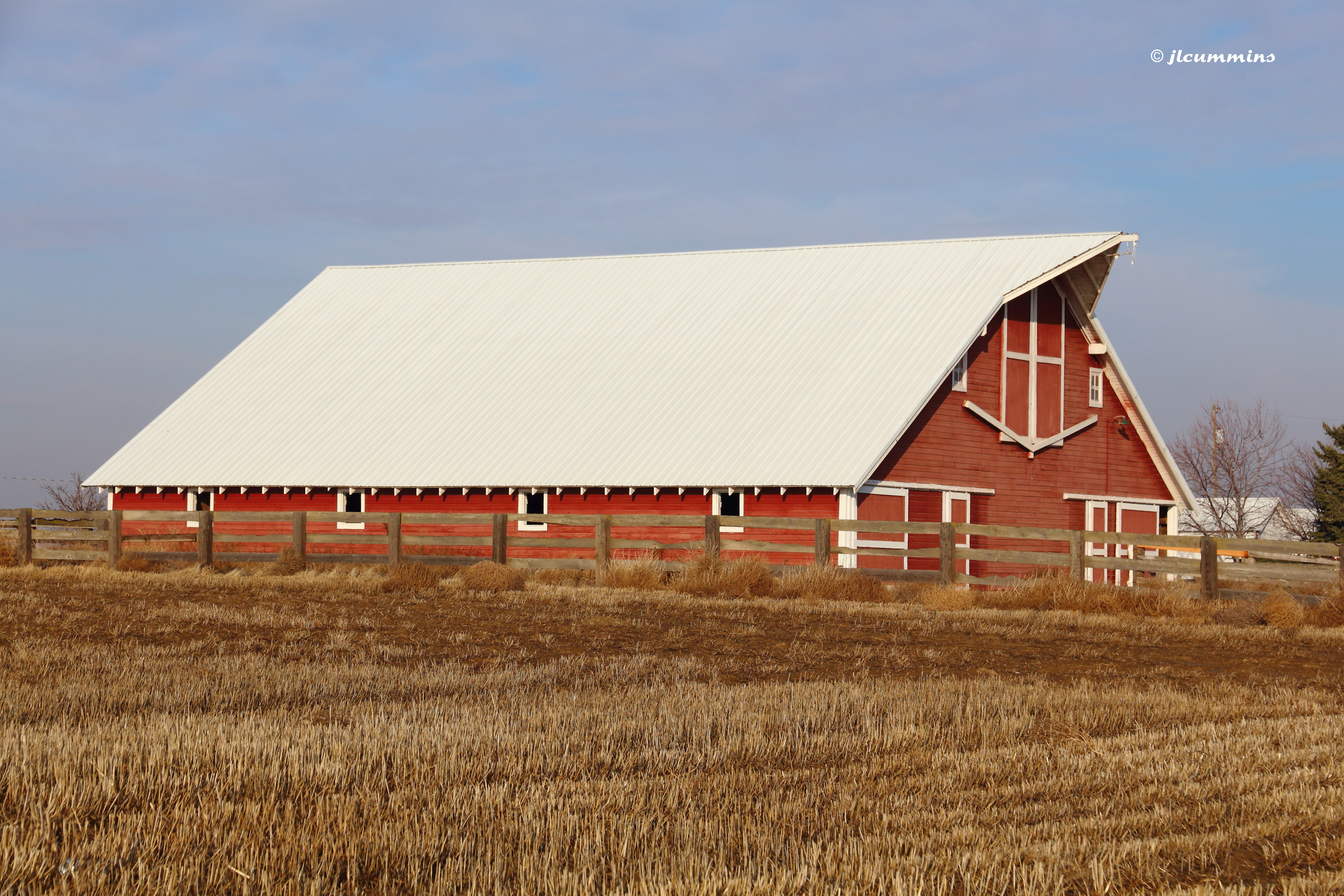
Barn along Pasco-Kahlotus Rd
Pasco, WA.

Pumpkin Patch Field Trip
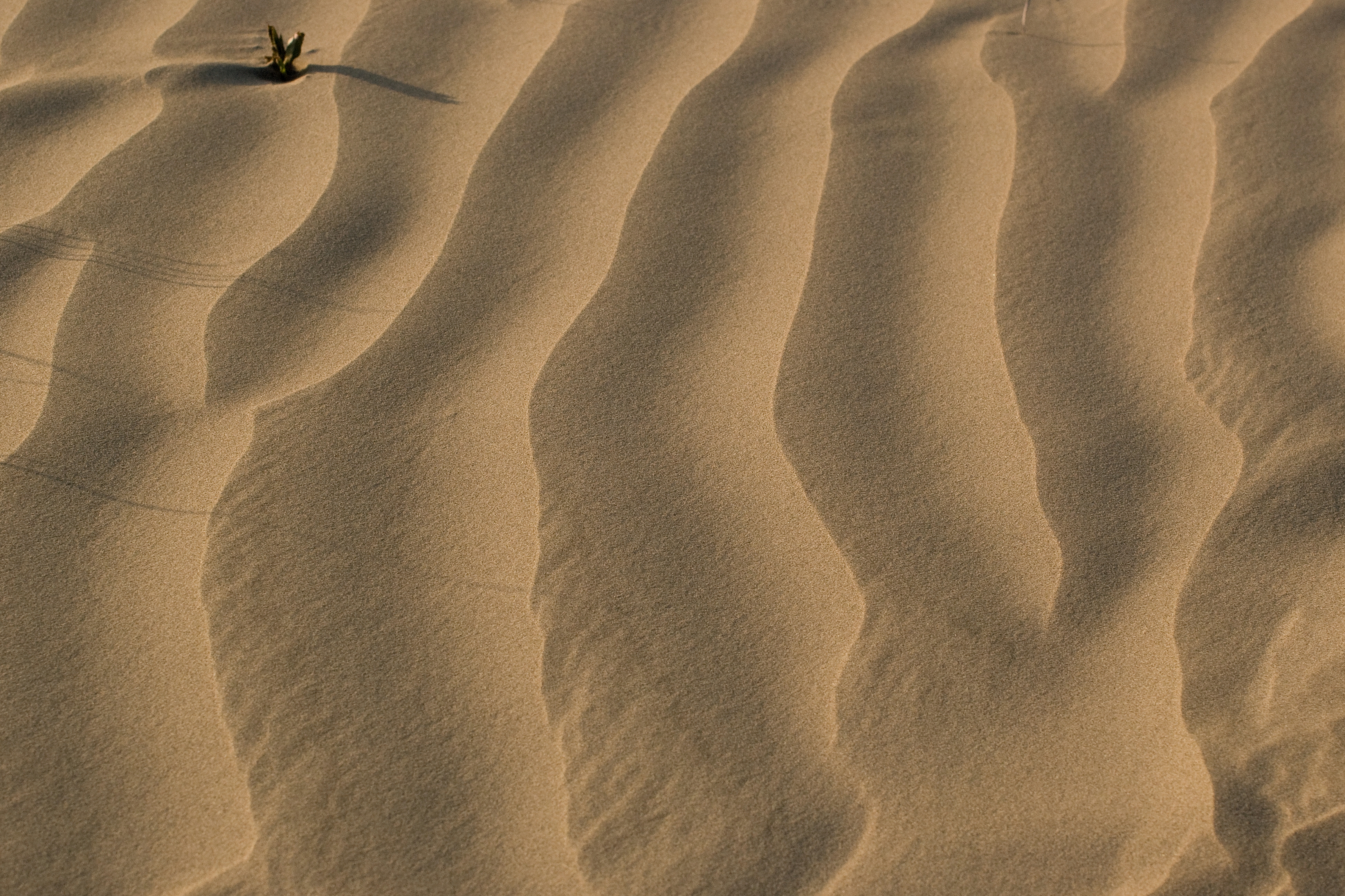
"a 7,000 acre island of juniper and 100 foot sand dunes..."
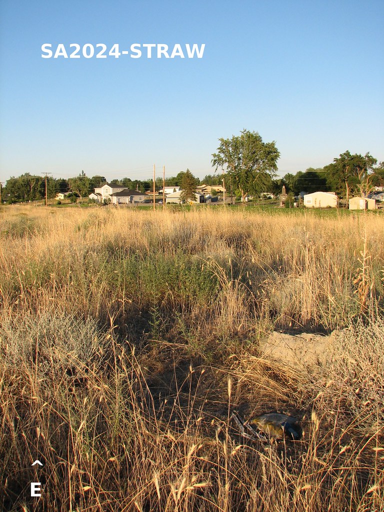
SA2024-STRAW-A2
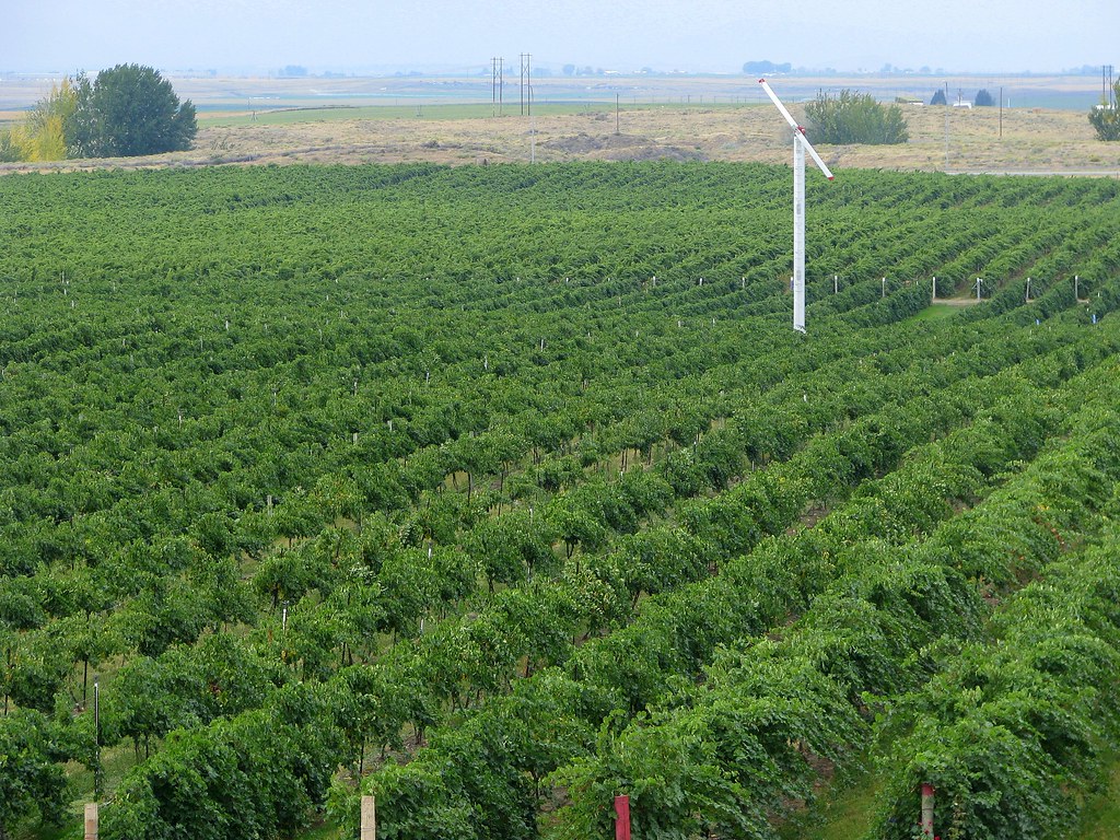
157 Acres of Future Wine

Ice Harbor Dam

Burrowing Owl

Burrowing Owl
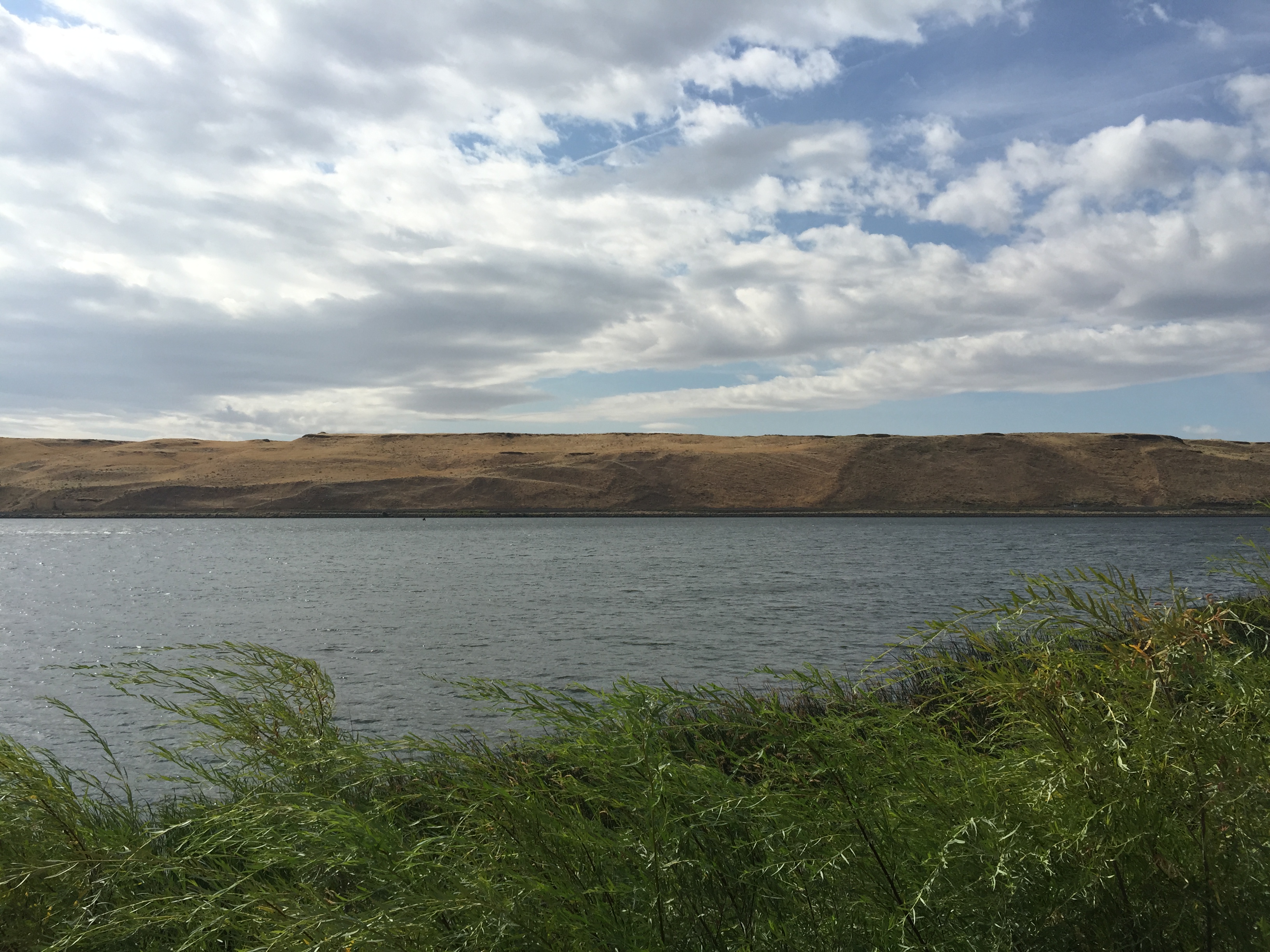
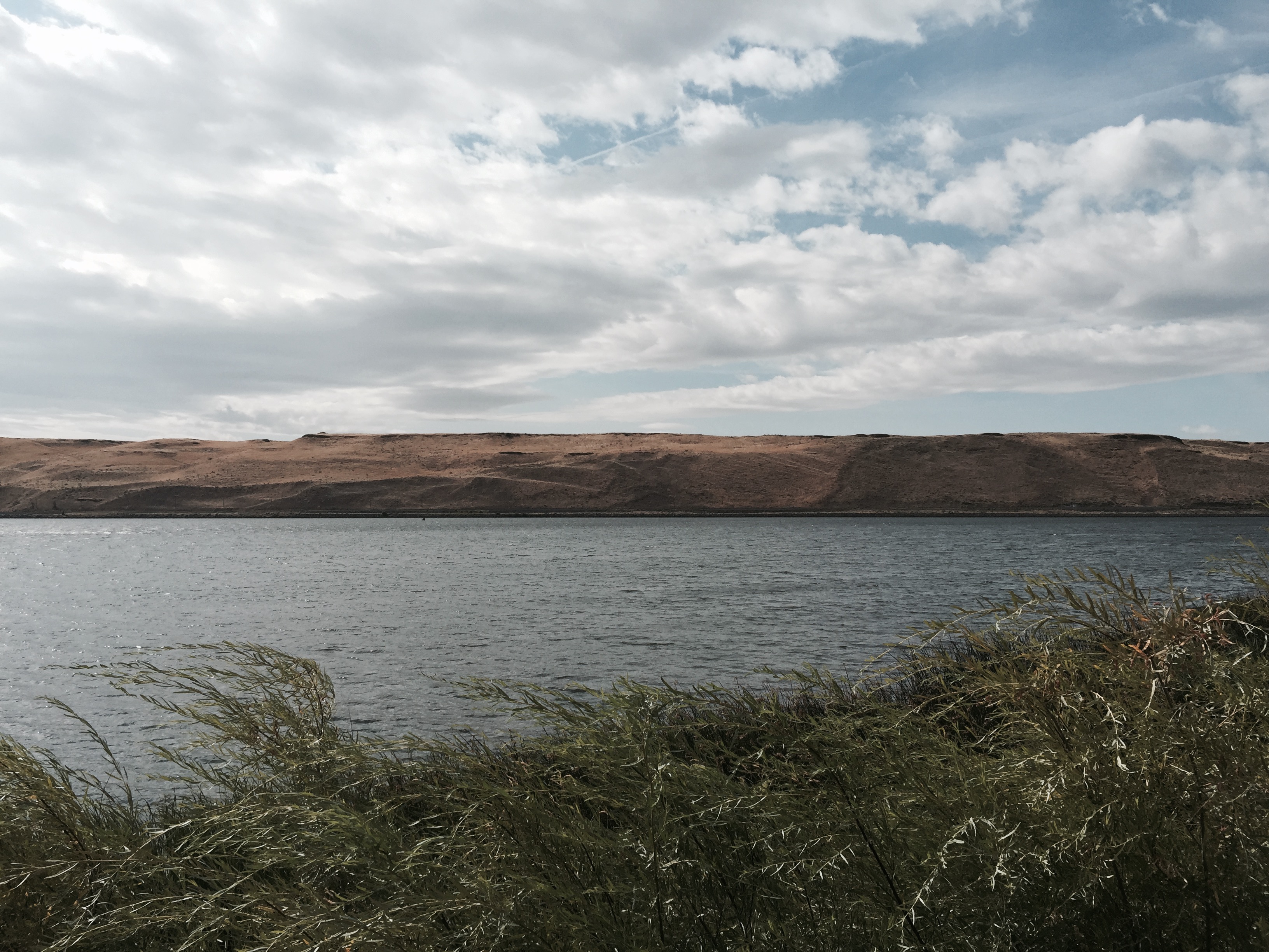
Phone picture of lake.
Phone picture from trail.
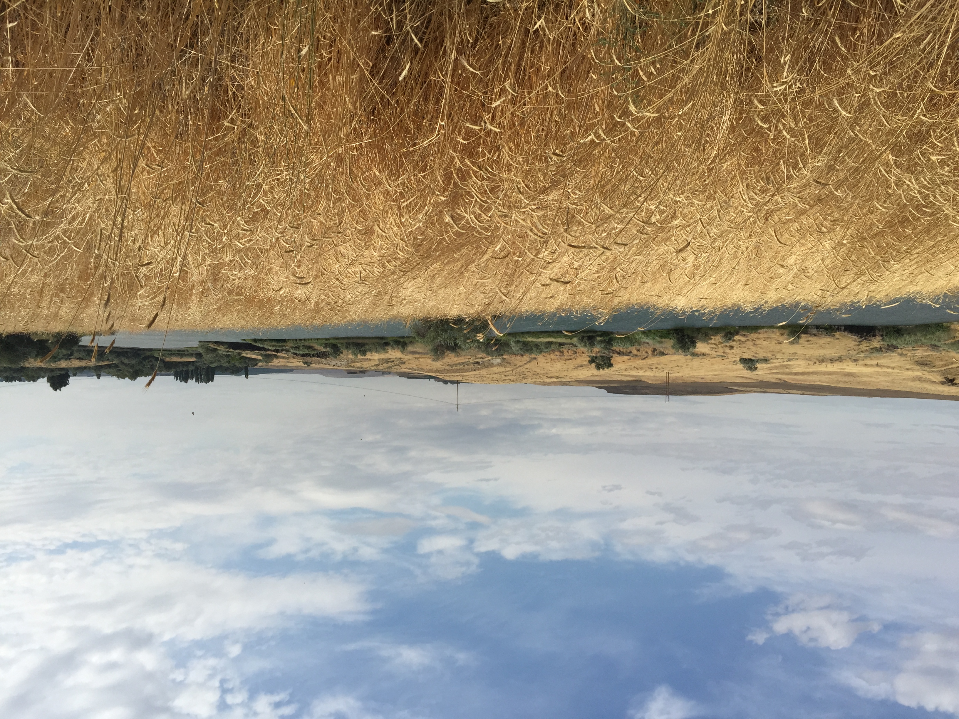
Eastern Washington.
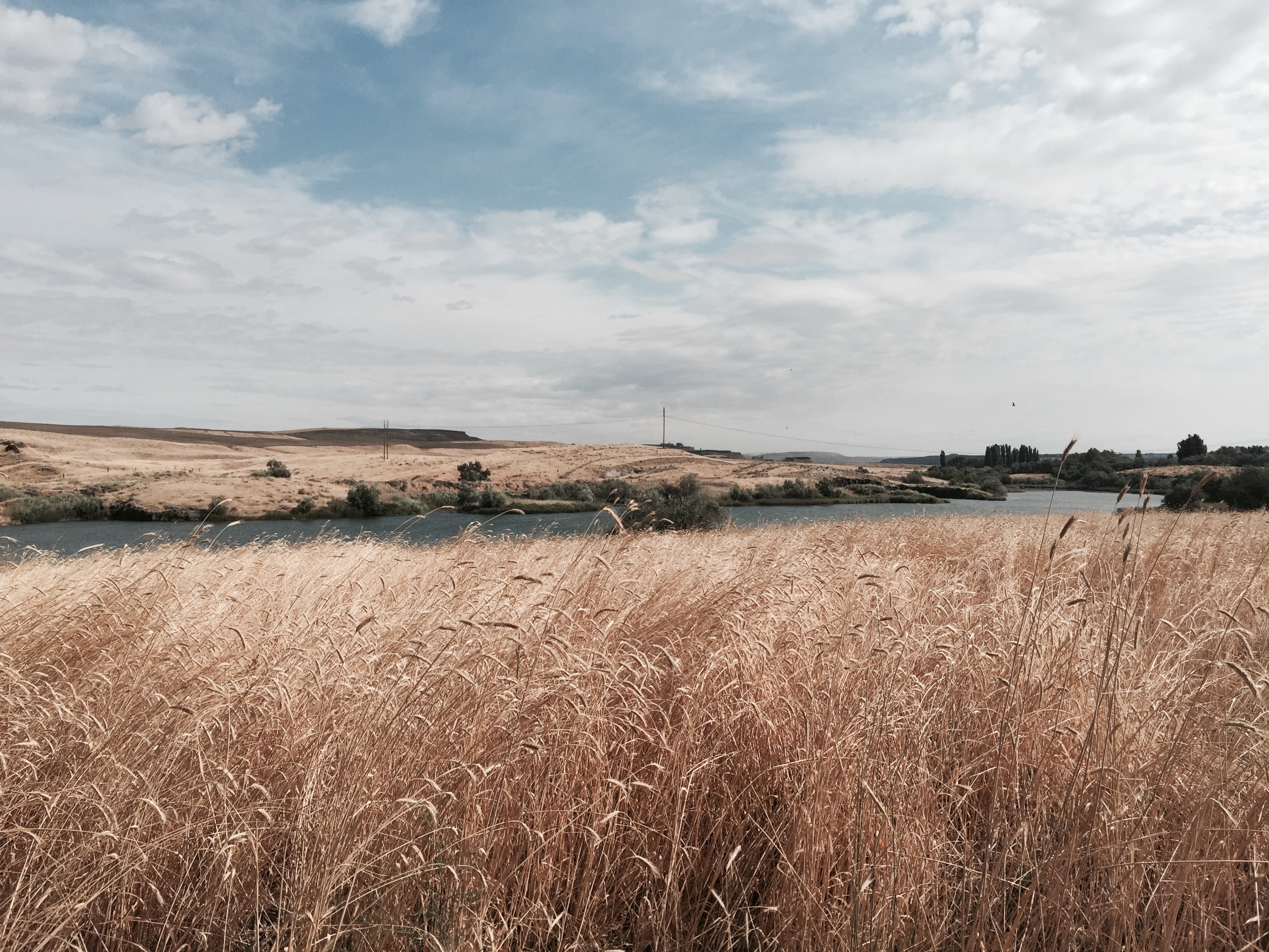
Eastern Washington.
Palouse Blue

Pumpkin Patch Field Trip
Topographic Map of Pasco, WA, USA
Find elevation by address:

Places near Pasco, WA, USA:
Levey Rd, Pasco, WA, USA
411 Voss Rd
411 Voss Rd
311 Paradise Dr
Burbank
Wehe Loop, Prescott, WA, USA
Sacajawea Historical State Park
US-12, Burbank, WA, USA
Franklin County Public Works
Pasco
Tri-cities Airport
211008 E 193 Pr Se
2180 Janet St
E Game Farm Rd, Kennewick, WA, USA
607 E Columbia Dr
Adkins Rd, Prescott, WA, USA
4104 Acacia Ct
4403 Monterey Dr
108 E 1st Ave
Depot Rd, Touchet, WA, USA
Recent Searches:
- Elevation of Mamala II, Sariaya, Quezon, Philippines
- Elevation of Sarangdanda, Nepal
- Elevation of 7 Waterfall Way, Tomball, TX, USA
- Elevation of SW 57th Ave, Portland, OR, USA
- Elevation of Crocker Dr, Vacaville, CA, USA
- Elevation of Pu Ngaol Community Meeting Hall, HWHM+3X7, Krong Saen Monourom, Cambodia
- Elevation of Royal Ontario Museum, Queens Park, Toronto, ON M5S 2C6, Canada
- Elevation of Groblershoop, South Africa
- Elevation of Power Generation Enterprises | Industrial Diesel Generators, Oak Ave, Canyon Country, CA, USA
- Elevation of Chesaw Rd, Oroville, WA, USA