Elevation of Wehe Loop, Prescott, WA, USA
Location: United States > Washington > Walla Walla County > Prescott >
Longitude: -118.73913
Latitude: 46.329307
Elevation: 195m / 640feet
Barometric Pressure: 99KPa
Elevation Map:
Satellite Map:
Related Photos:
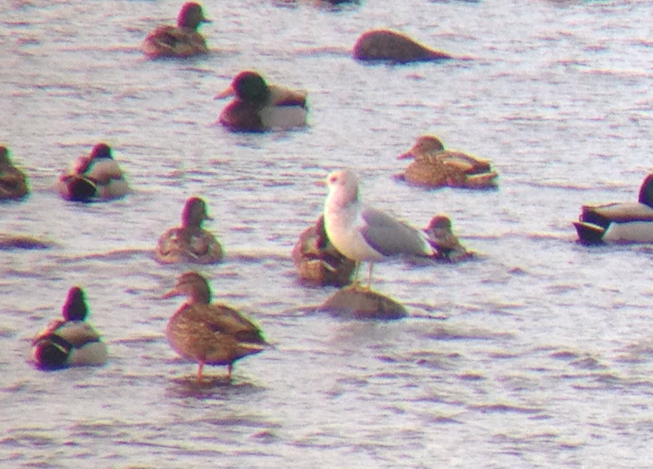
Mew Gull
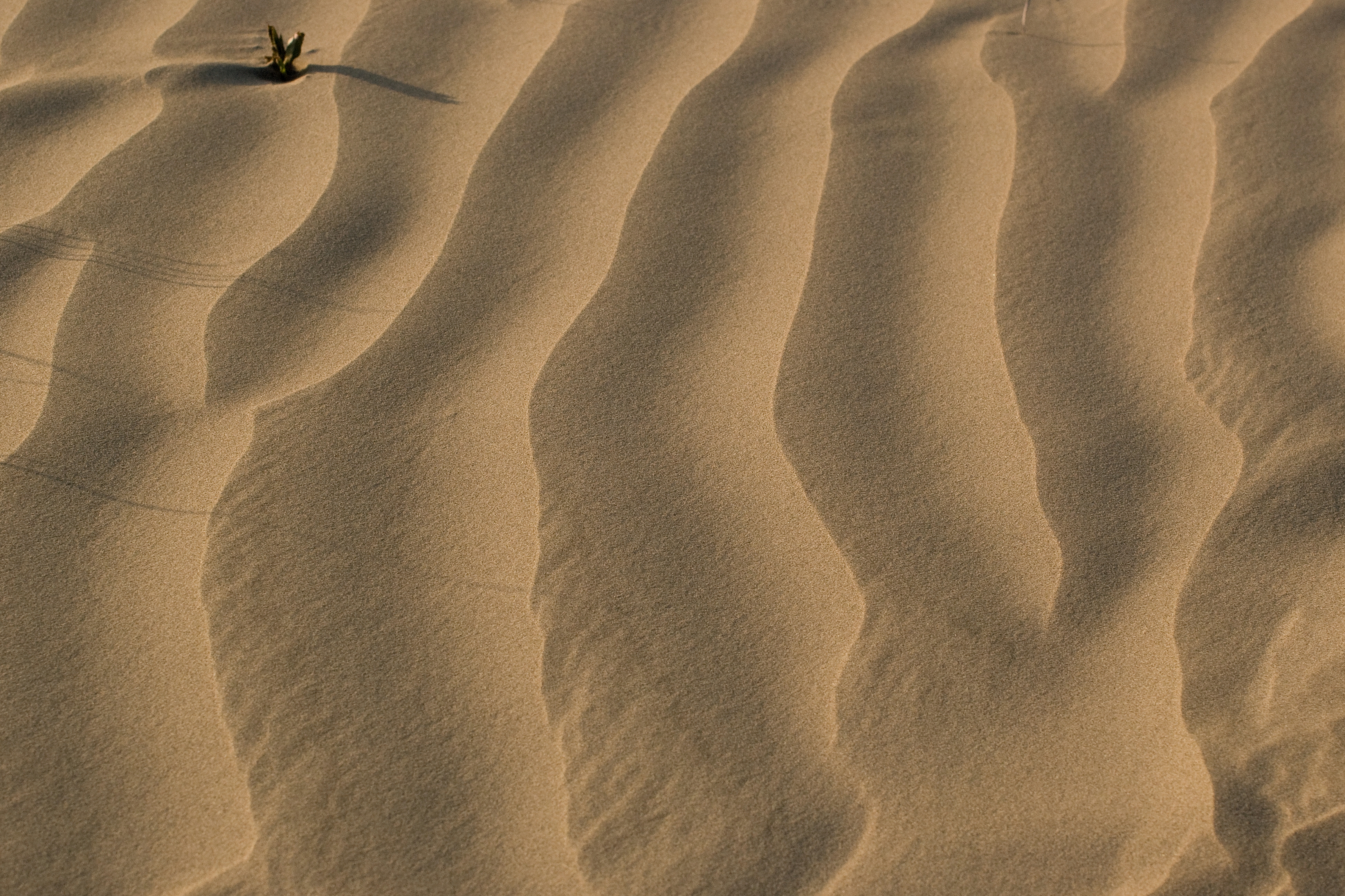
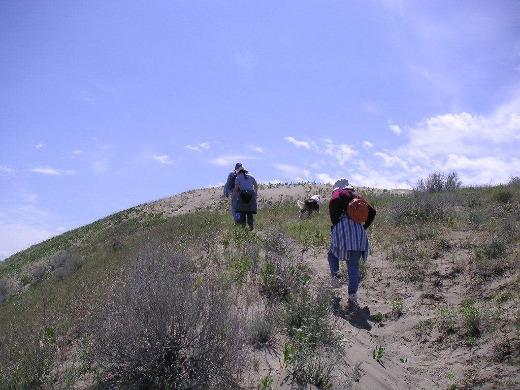
"a 7,000 acre island of juniper and 100 foot sand dunes..."
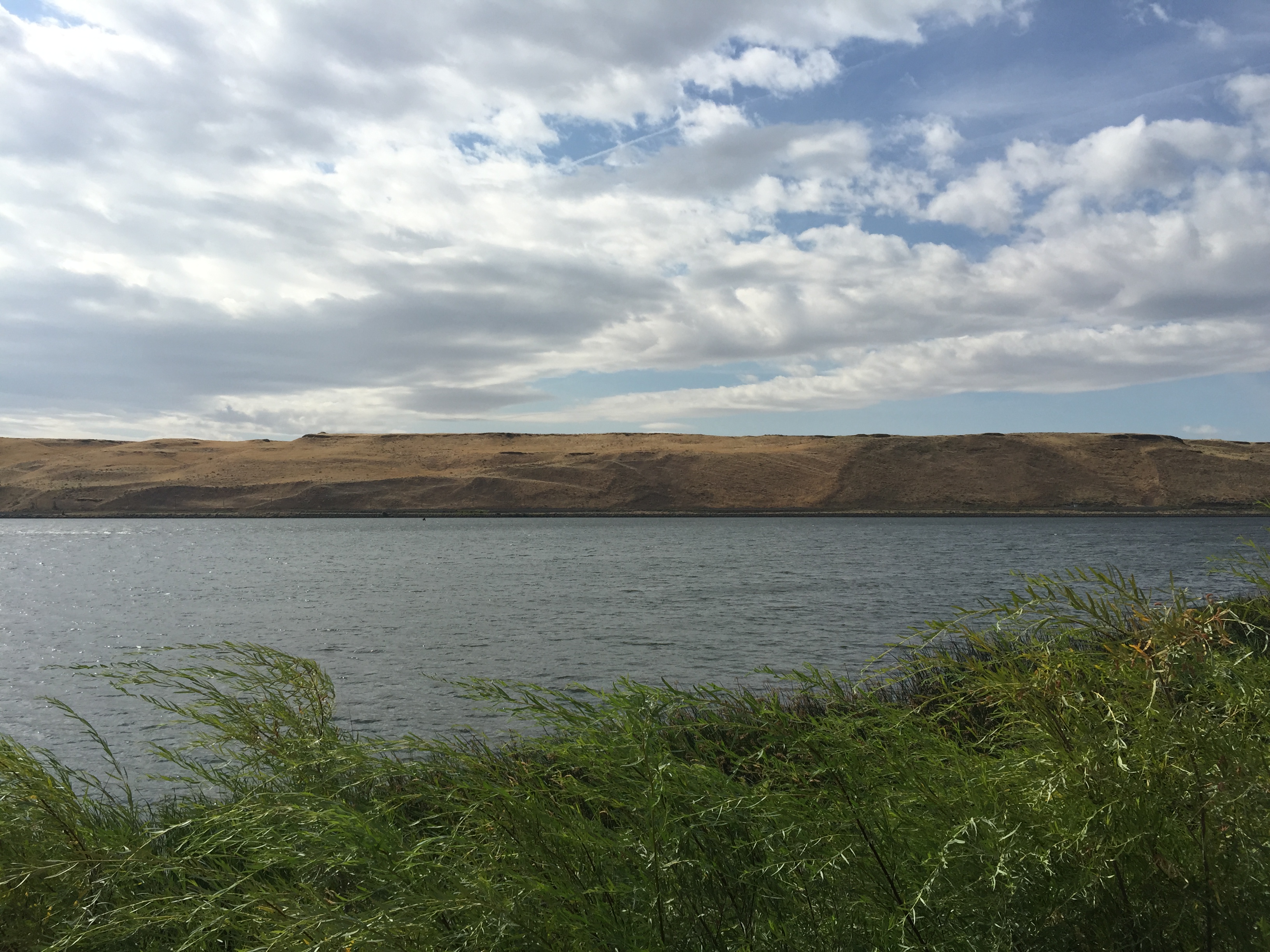
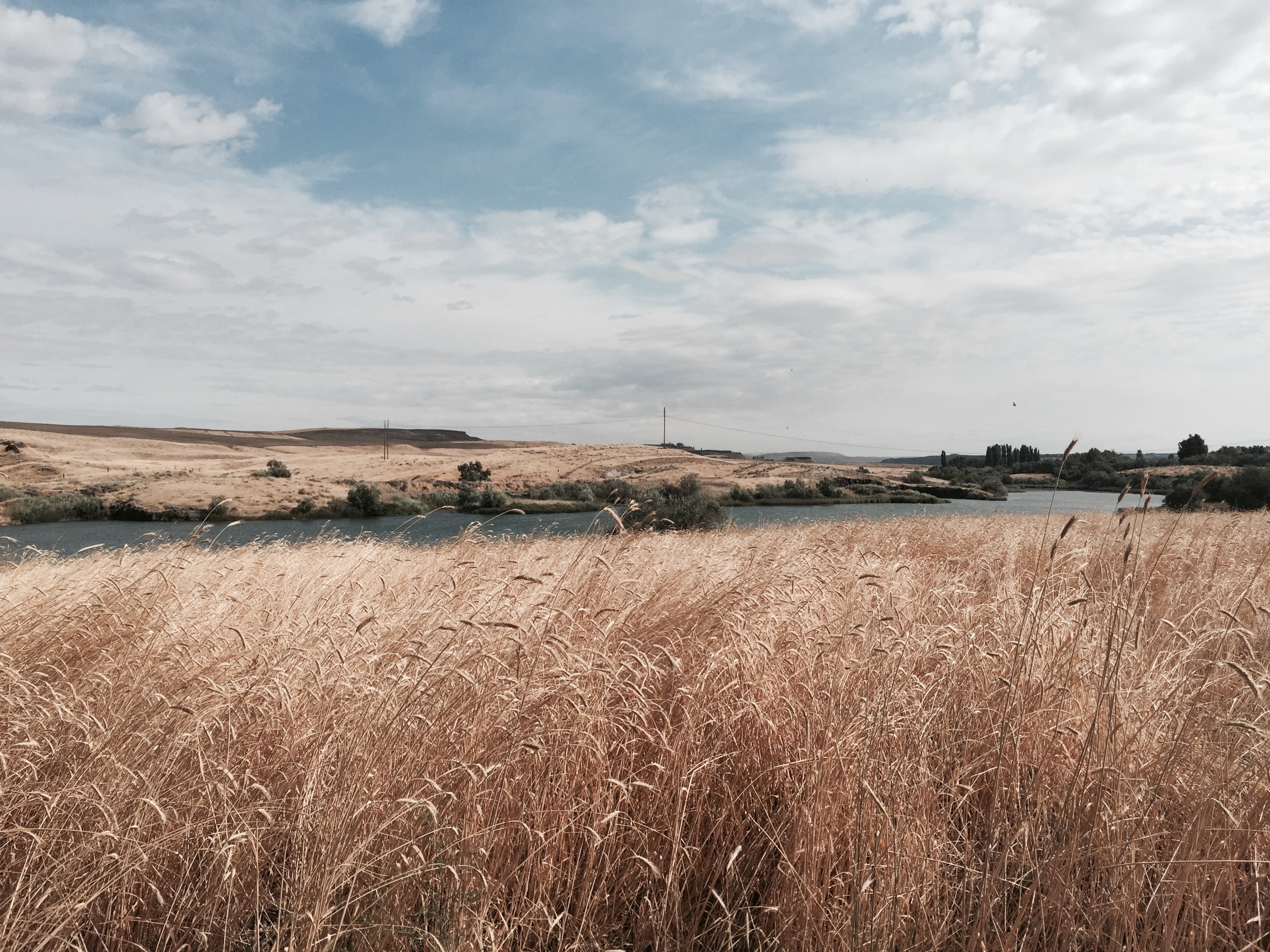
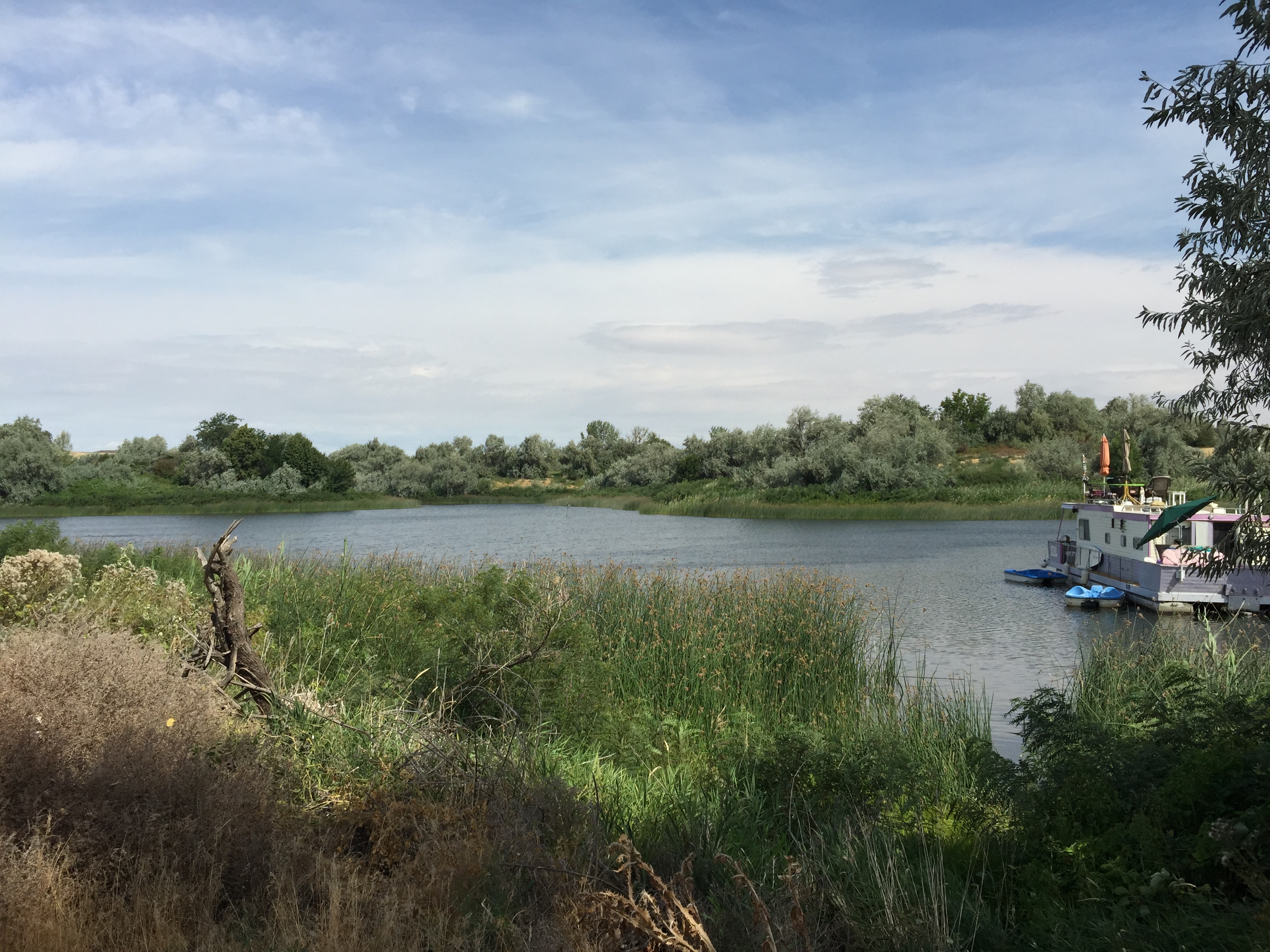
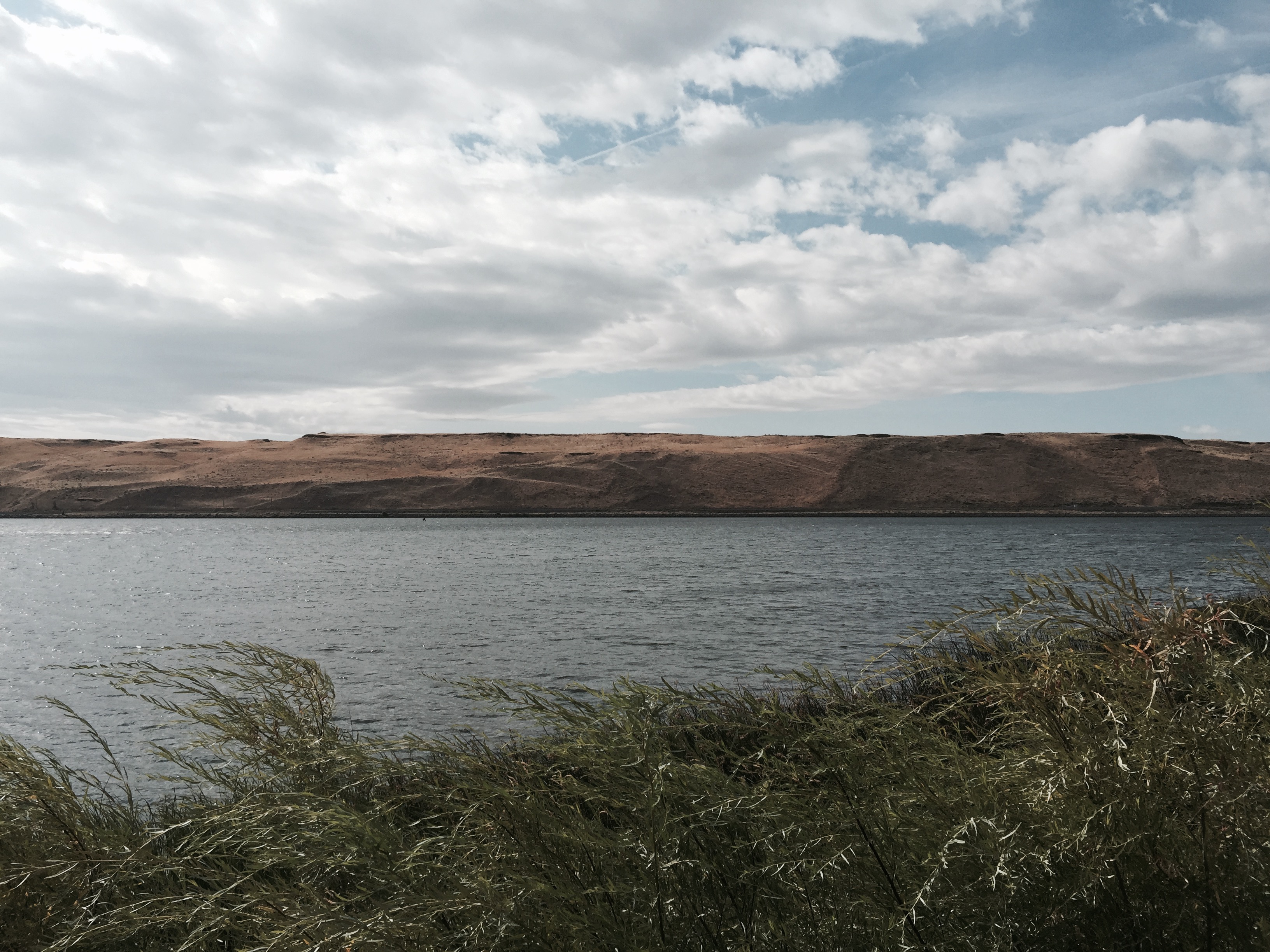
Phone picture of lake.
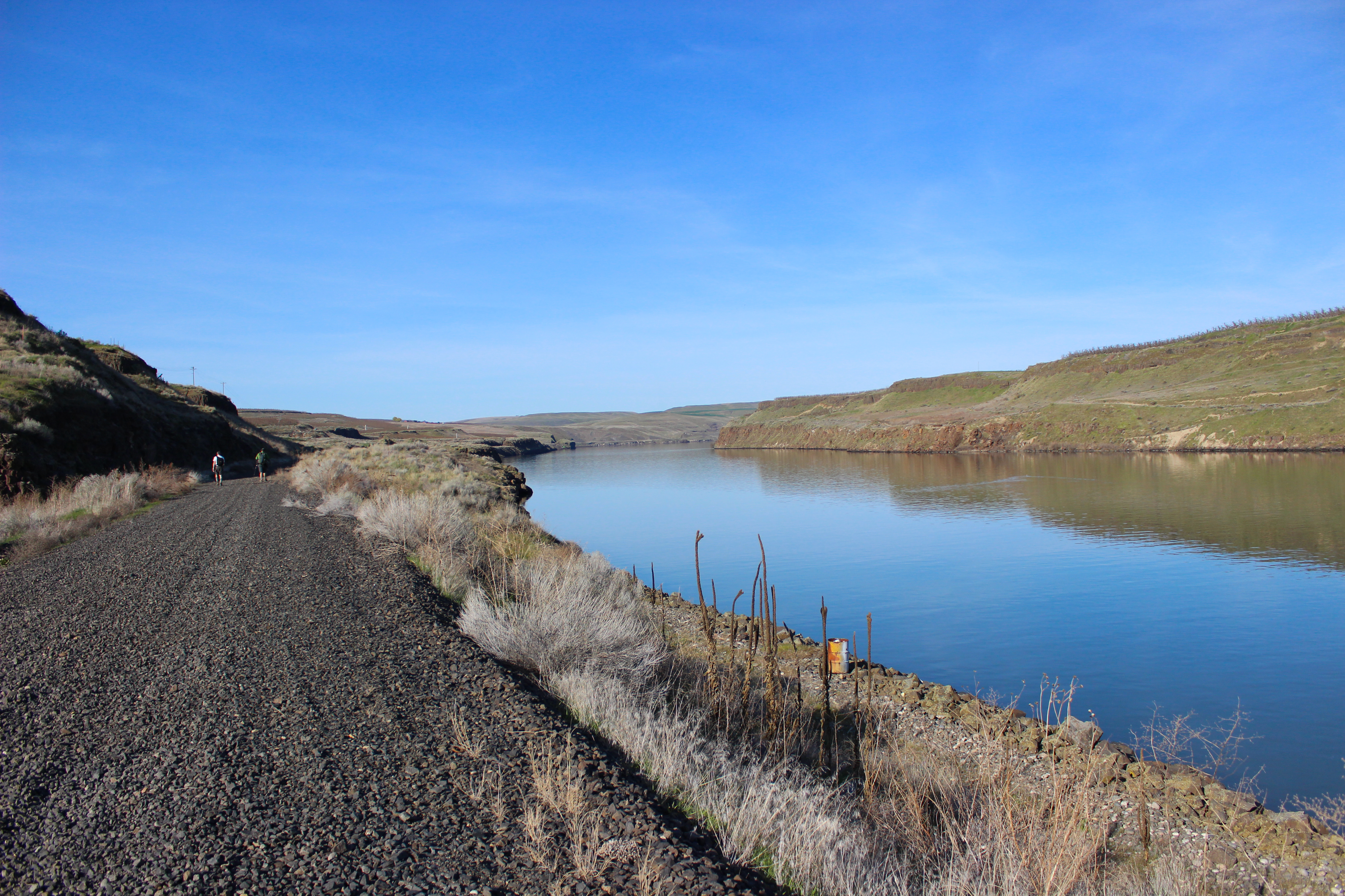
Phone picture from trail.

The Road to the Storm
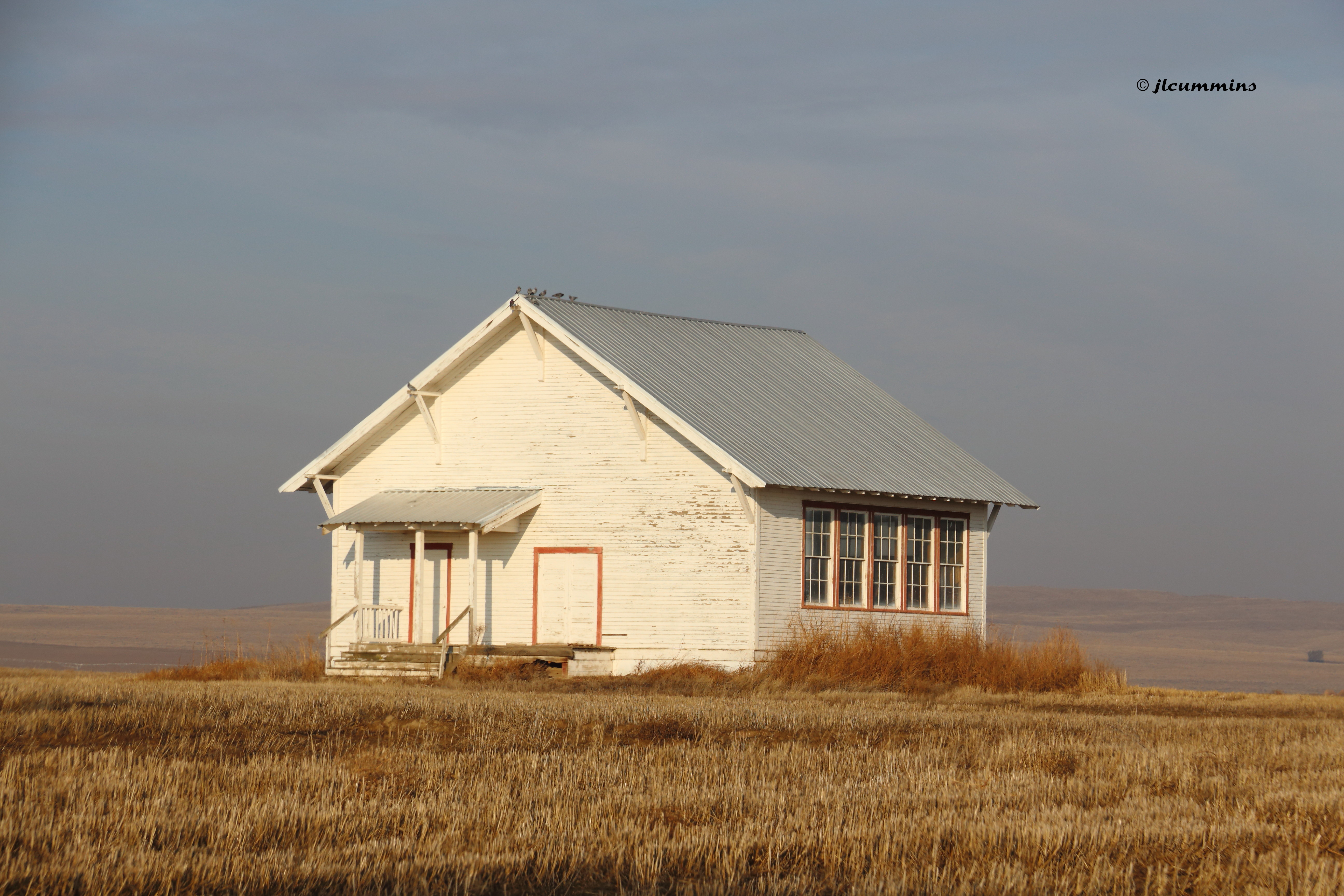
Abandoned one room school, Pasco-Kahlotus Rd
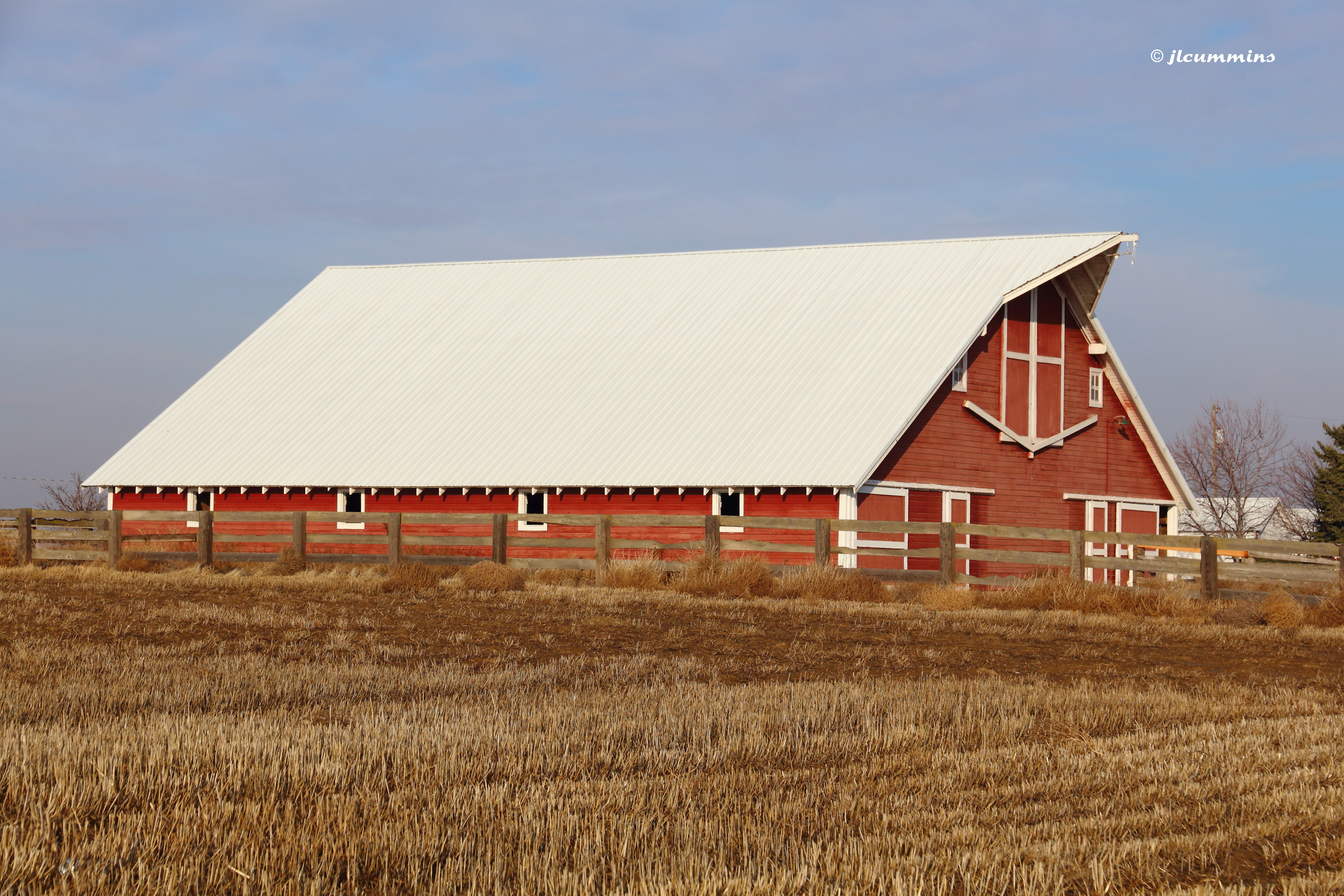
Barn along Pasco-Kahlotus Rd
Eastern Washington.
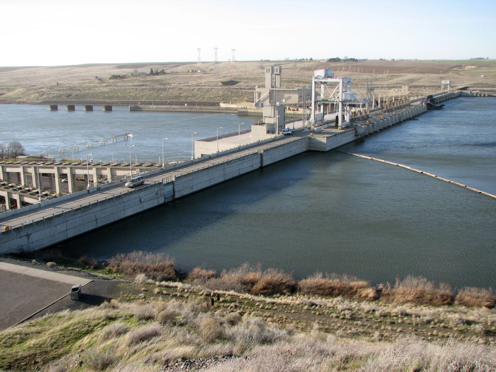
Ice Harbor Dam
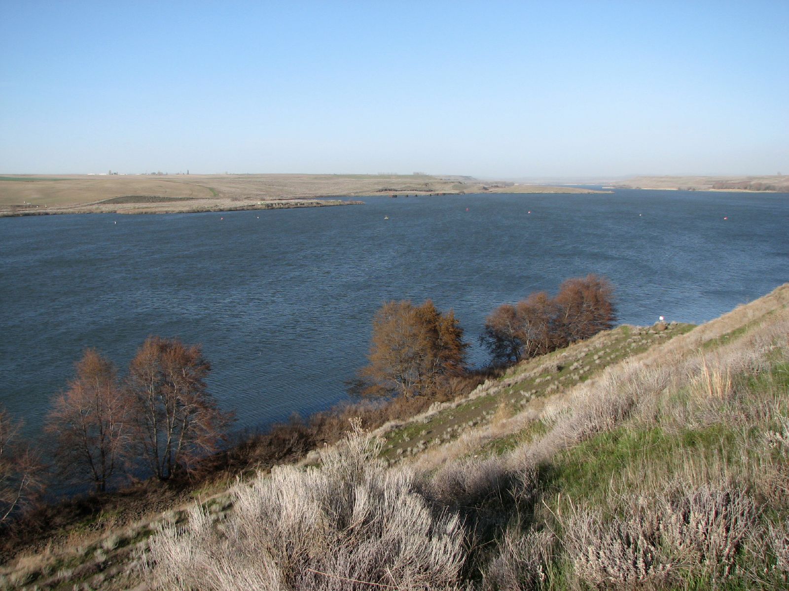
Lake Sacajawea
Phone picture from end of trail.
Columbia Plateau

Charbonneau Park

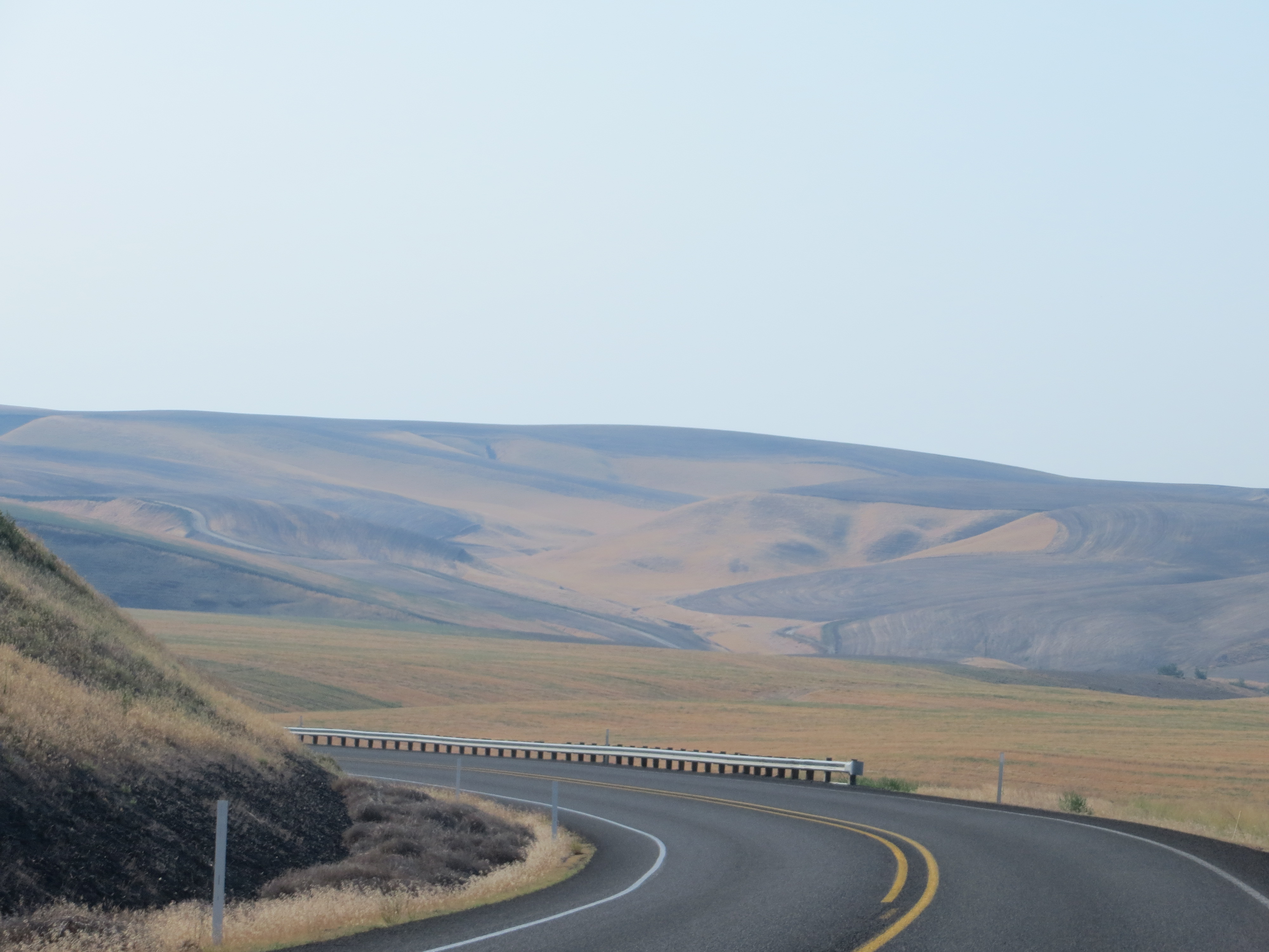
Road Through The Desert
Top of the World
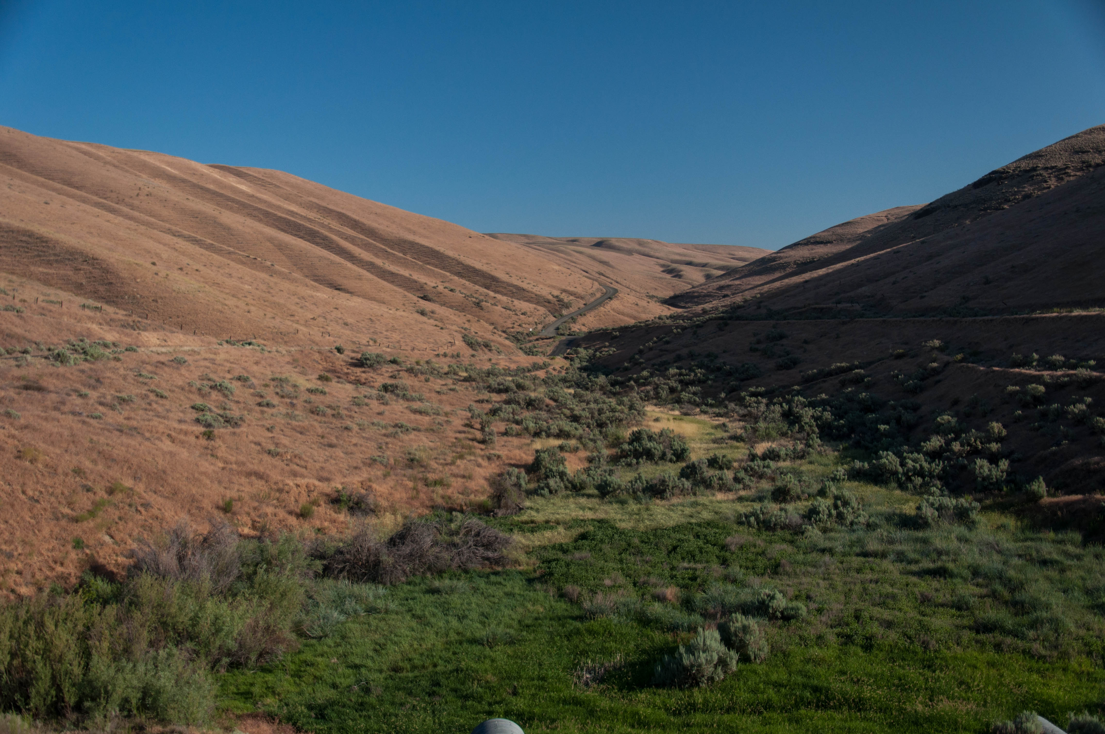
Lewis and Clark Trail. Hwy 124
Eastern Washington.
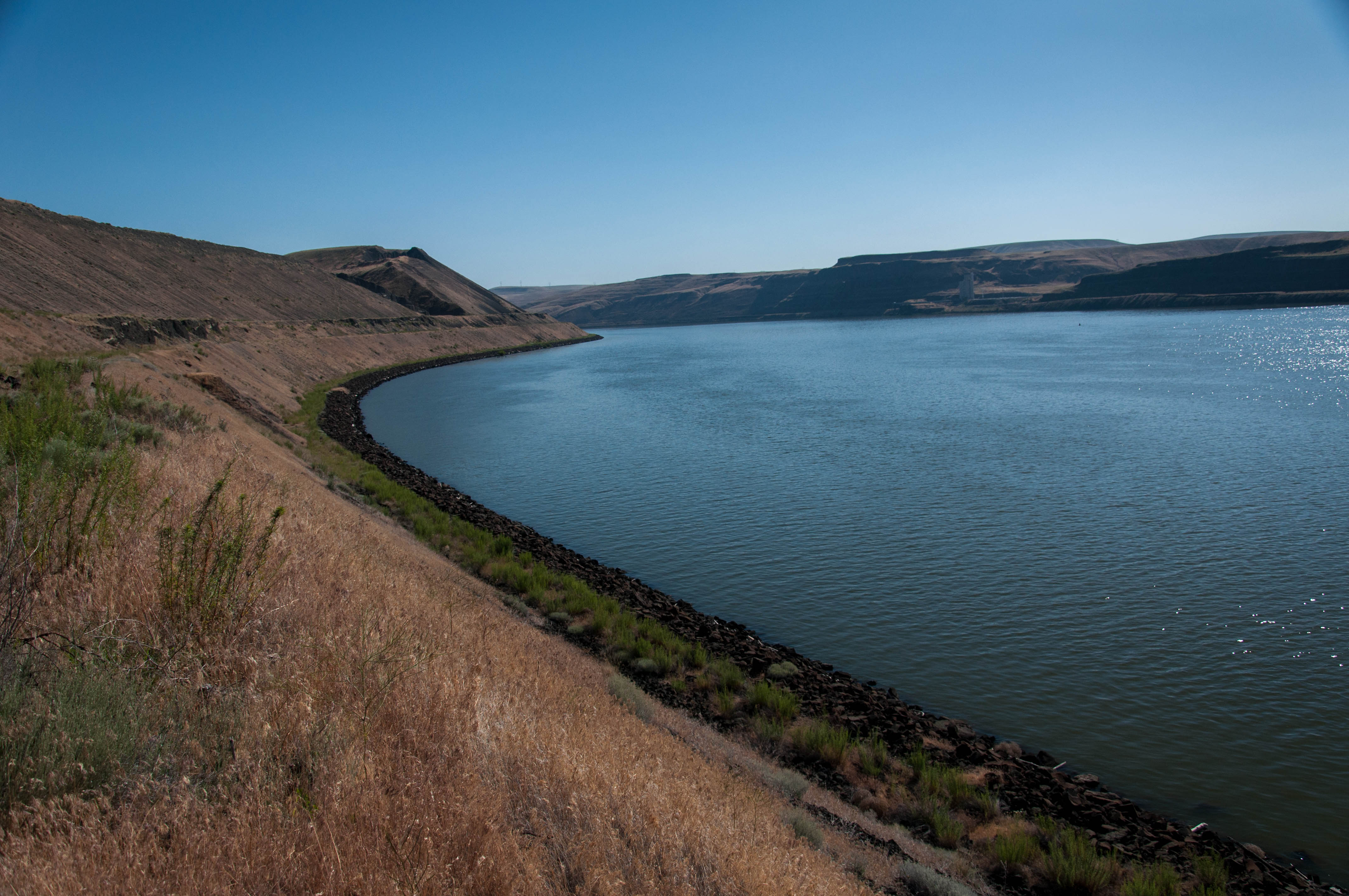
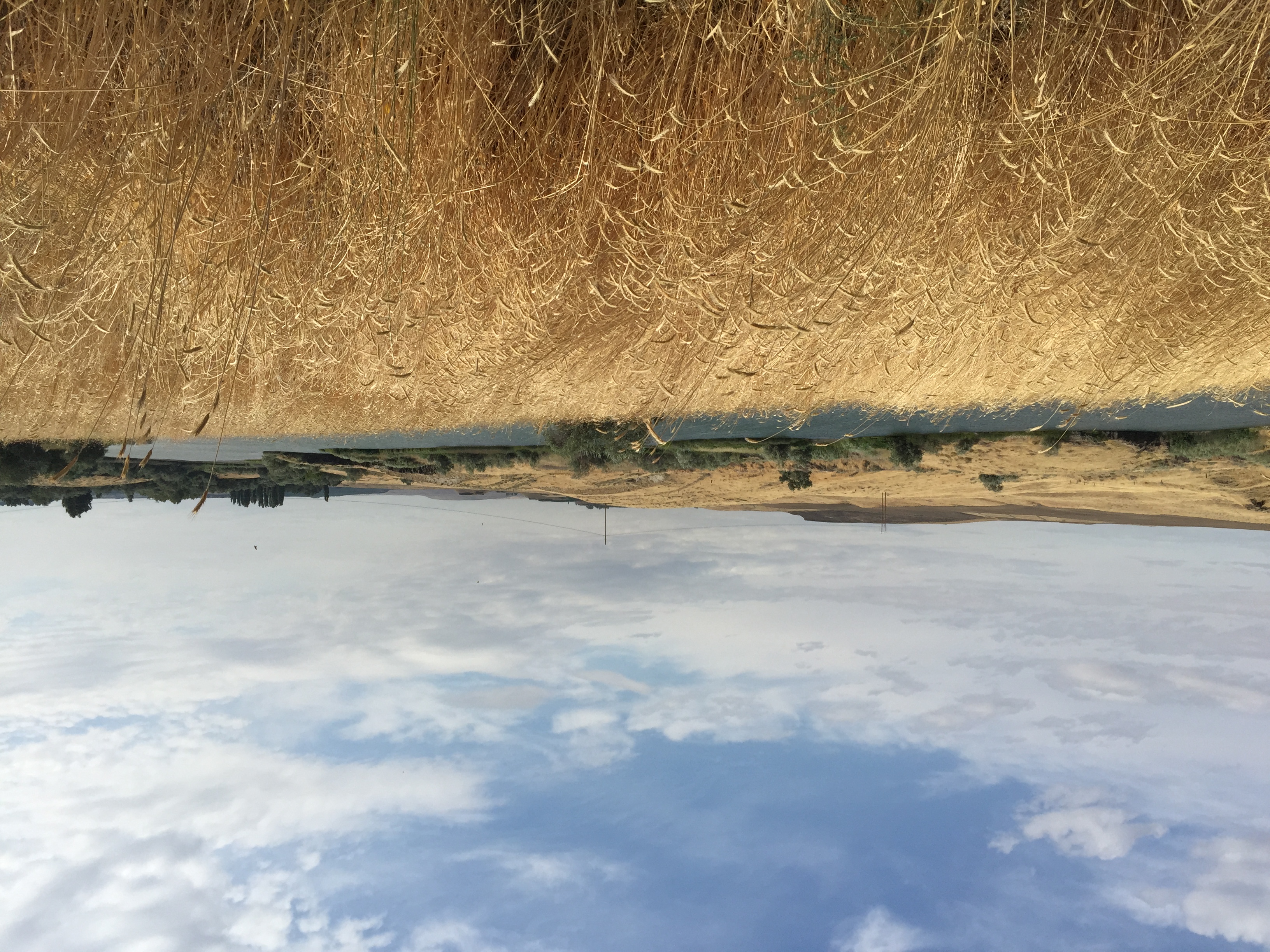
Along Snake River- Lake Sacajawea
Along Snake River
Topographic Map of Wehe Loop, Prescott, WA, USA
Find elevation by address:

Places near Wehe Loop, Prescott, WA, USA:
Adkins Rd, Prescott, WA, USA
Levey Rd, Pasco, WA, USA
37 Cellar Rd, Prescott, WA, USA
Walla Walla County
Pasco, WA, USA
311 Paradise Dr
US-12, Burbank, WA, USA
Depot Rd, Touchet, WA, USA
US-12, Touchet, WA, USA
411 Voss Rd
411 Voss Rd
Lake Wallula
Wallula
Touchet
Burbank
Lowden
406 Lower Dry Creek Rd
11 Gardena School Rd, Touchet, WA, USA
Jacobs Road
89 US-, Touchet, WA, USA
Recent Searches:
- Elevation of Corso Fratelli Cairoli, 35, Macerata MC, Italy
- Elevation of Tallevast Rd, Sarasota, FL, USA
- Elevation of 4th St E, Sonoma, CA, USA
- Elevation of Black Hollow Rd, Pennsdale, PA, USA
- Elevation of Oakland Ave, Williamsport, PA, USA
- Elevation of Pedrógão Grande, Portugal
- Elevation of Klee Dr, Martinsburg, WV, USA
- Elevation of Via Roma, Pieranica CR, Italy
- Elevation of Tavkvetili Mountain, Georgia
- Elevation of Hartfords Bluff Cir, Mt Pleasant, SC, USA