Elevation of Lake Wallula, Washington, USA
Location: United States > Washington > Walla Walla County > Touchet >
Longitude: -118.92352
Latitude: 46.1059083
Elevation: 107m / 351feet
Barometric Pressure: 100KPa
Elevation Map:
Satellite Map:
Related Photos:

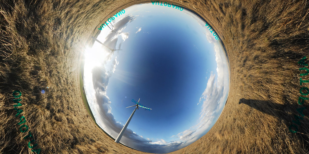
VR Panorama
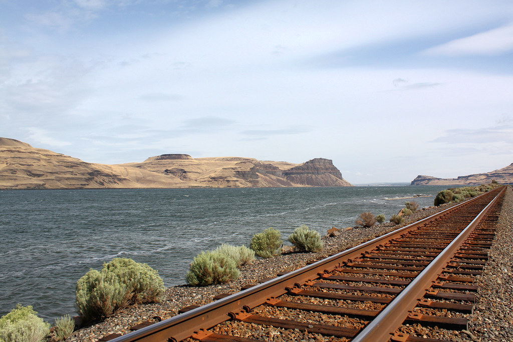
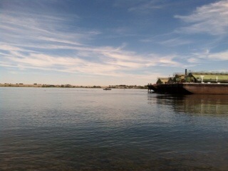
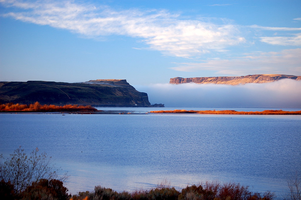
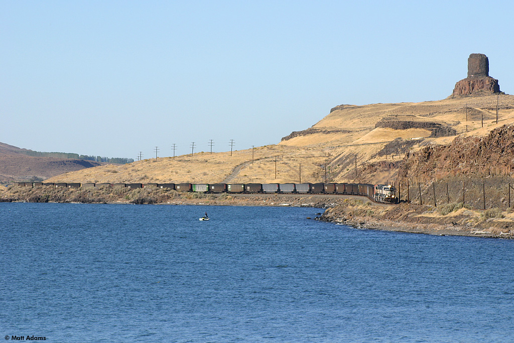
Columbia River

Sunset At Twin Sisters Rock
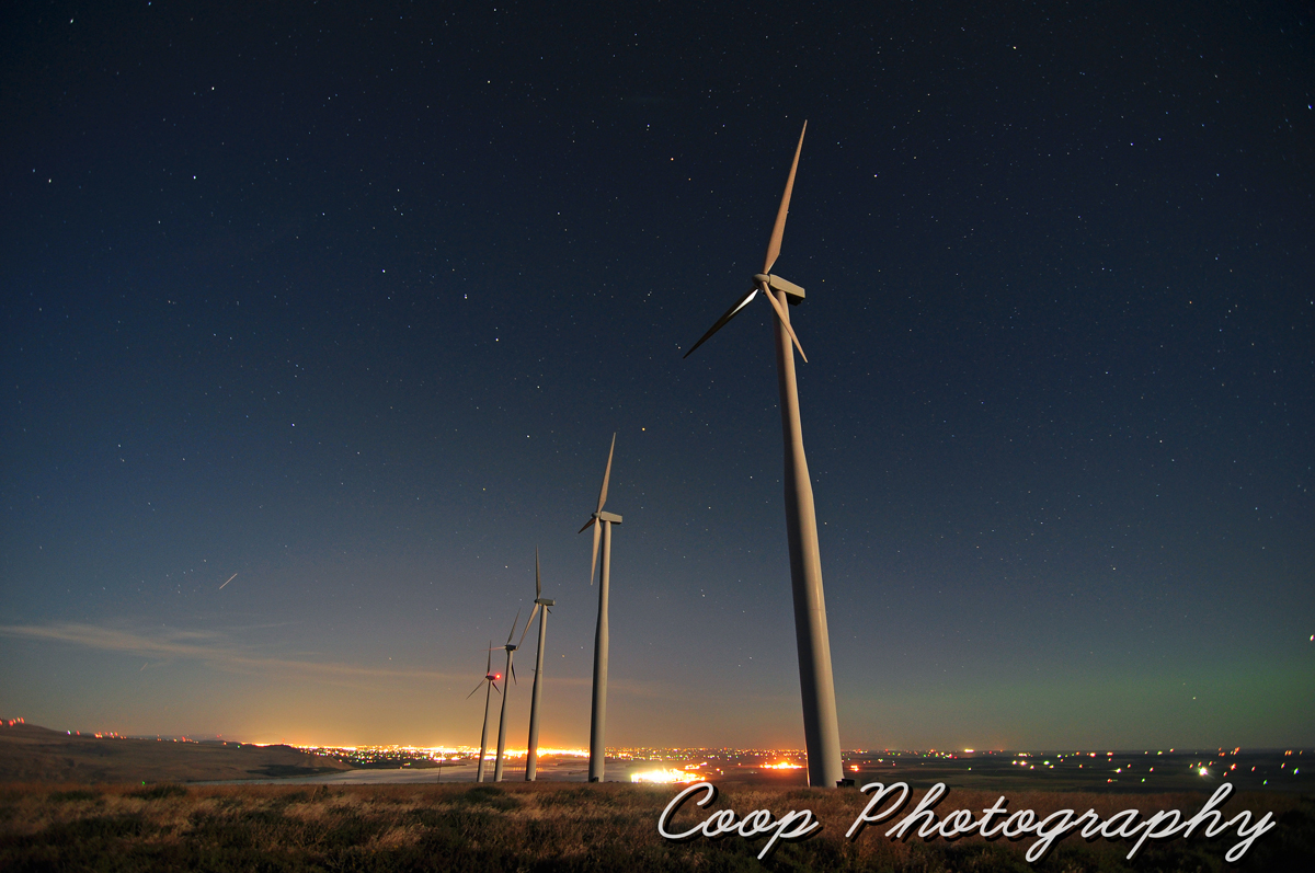
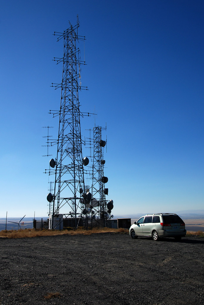
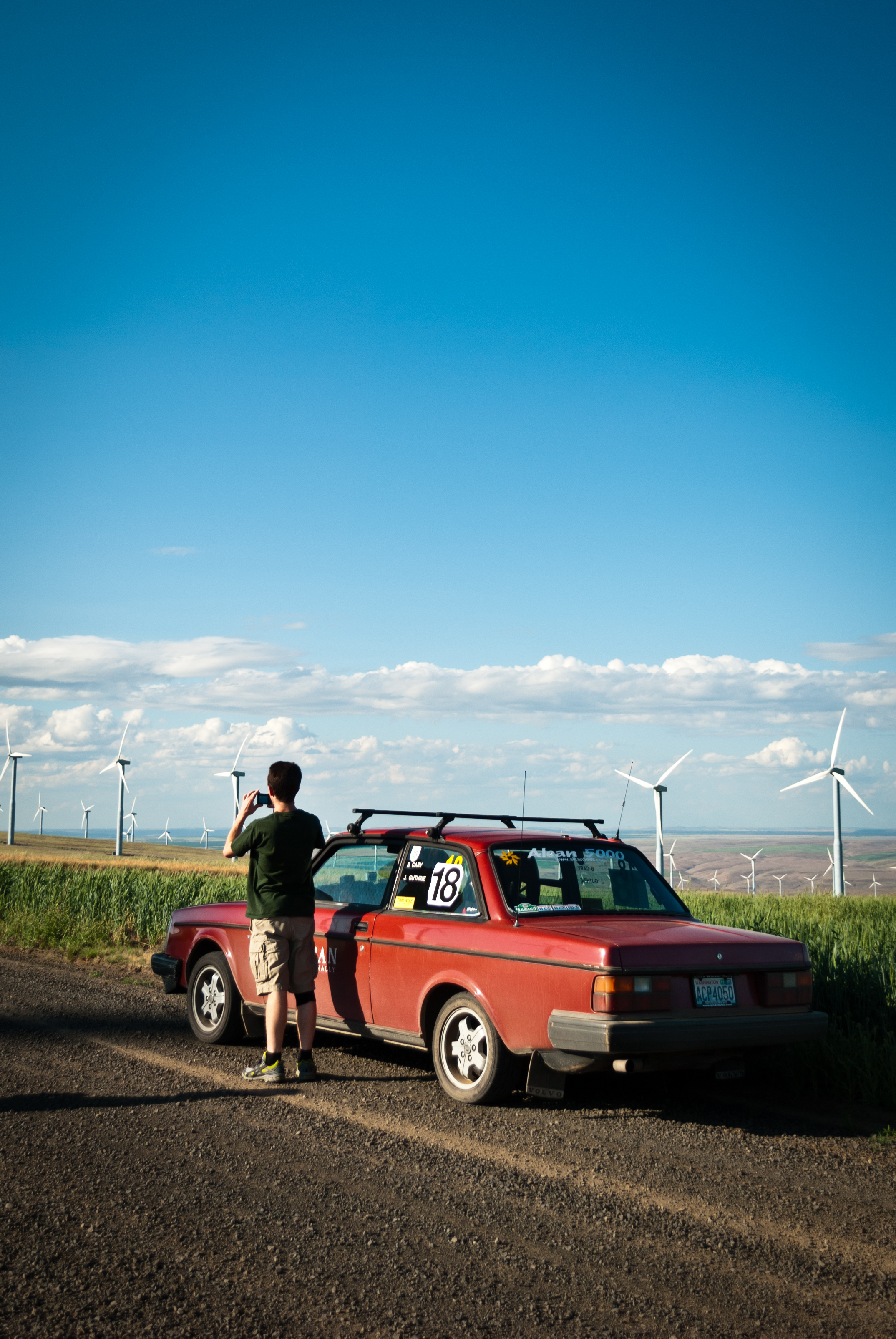
John Meets the Windmills

Twin Sisters Twilight Glow
Elements Of Wallula
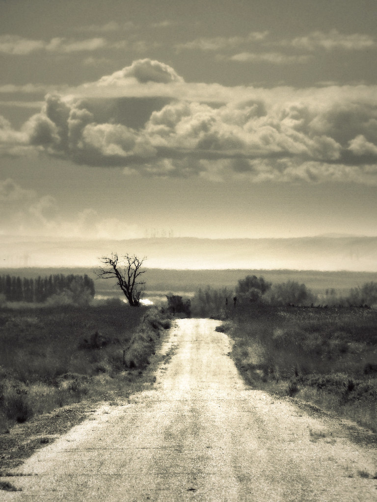
It's a Long Way Back
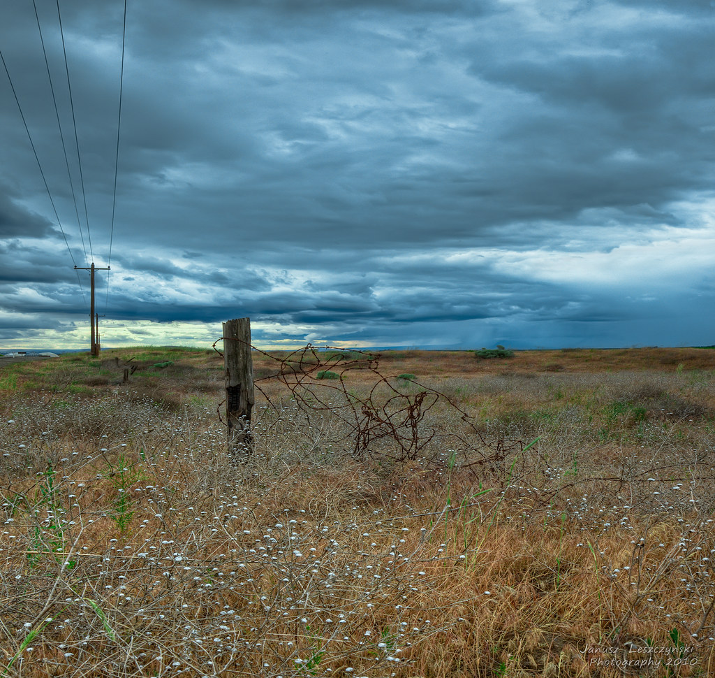
It's going to rain again
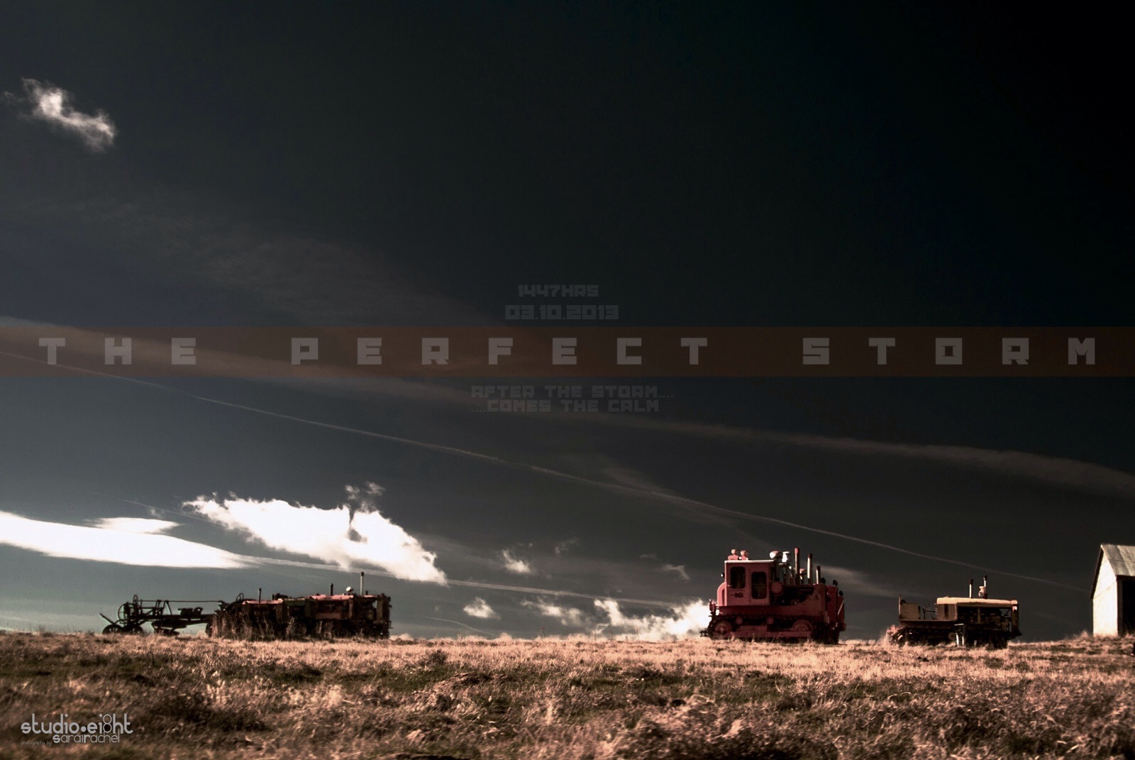
The Perfect Storm
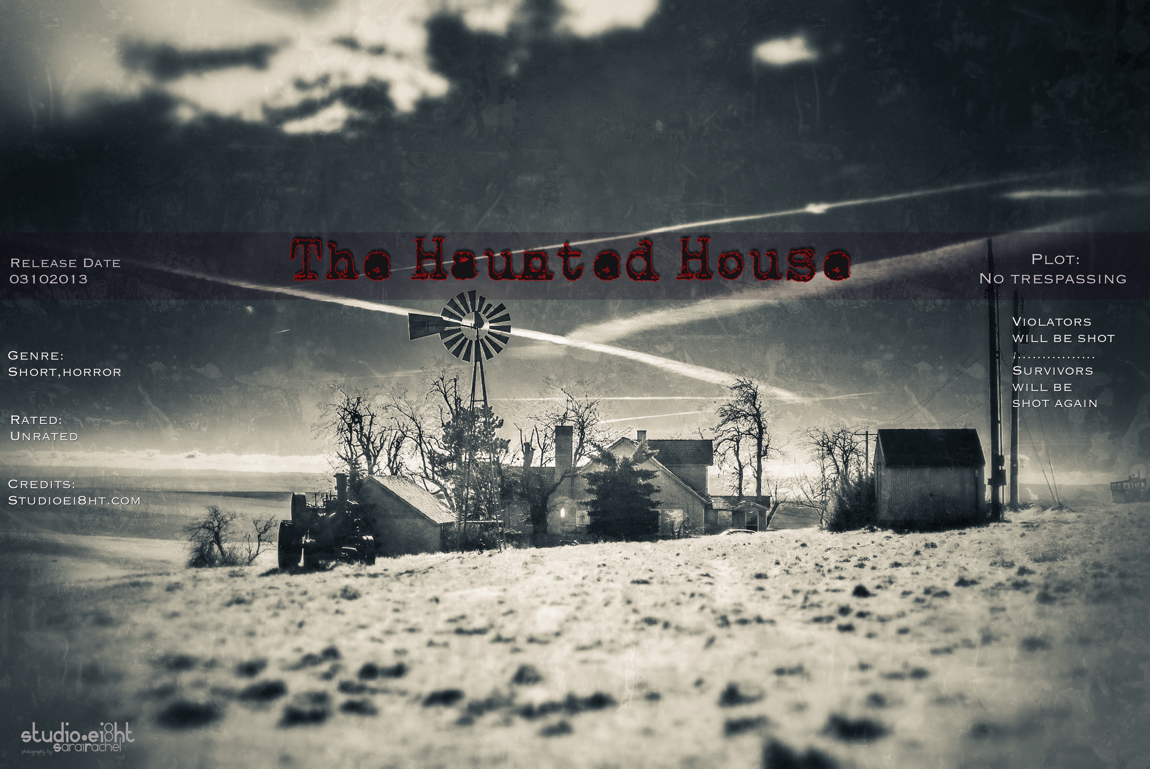
The Haunted House

Winter Wheat Ablaze
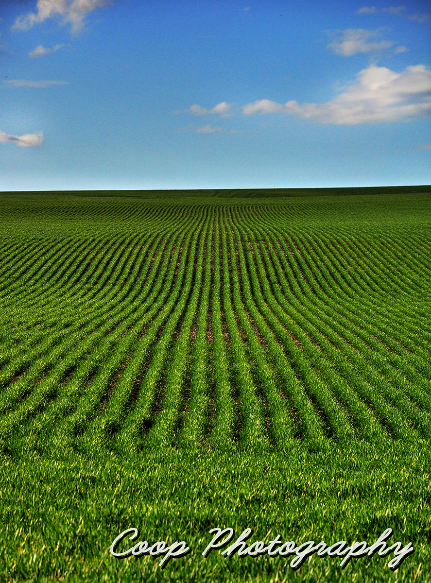
Lush Fields
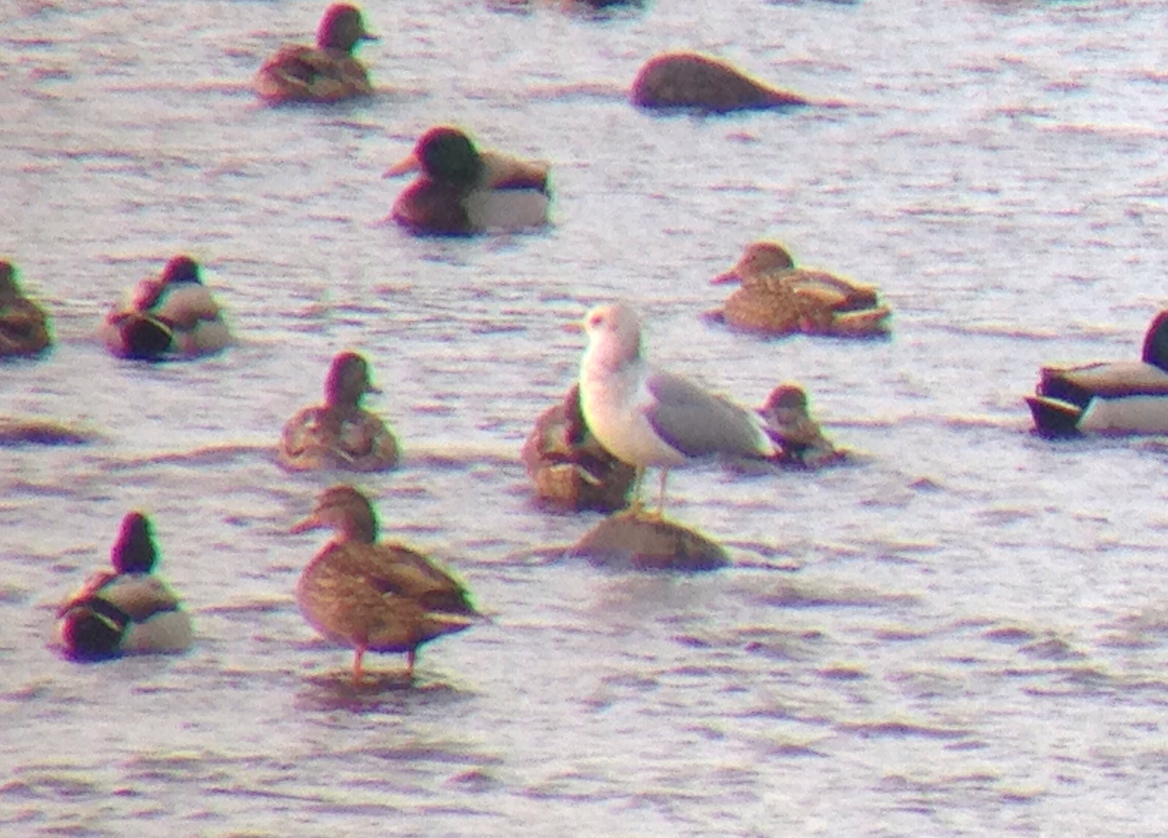
Mew Gull
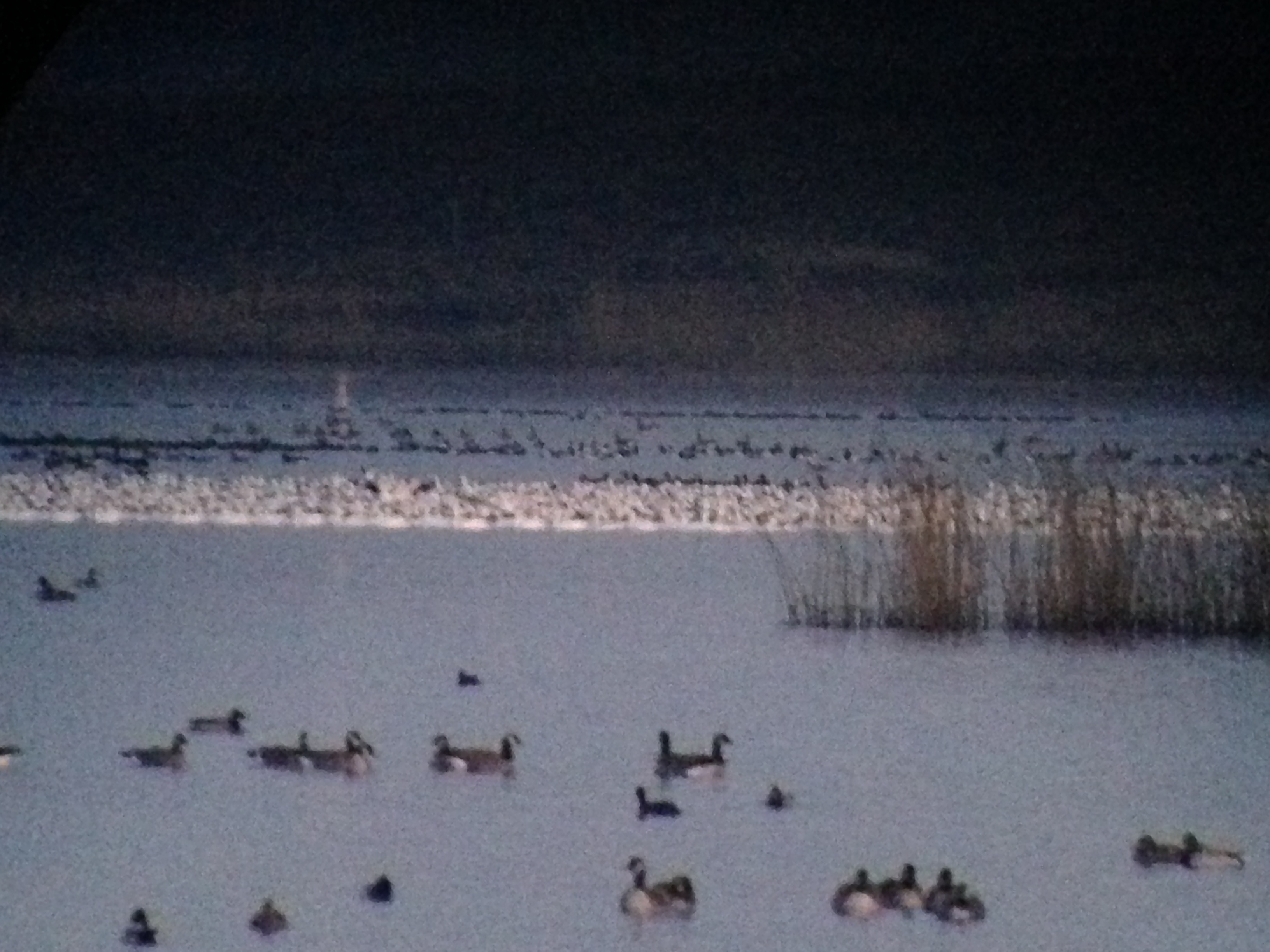
Snow Geese
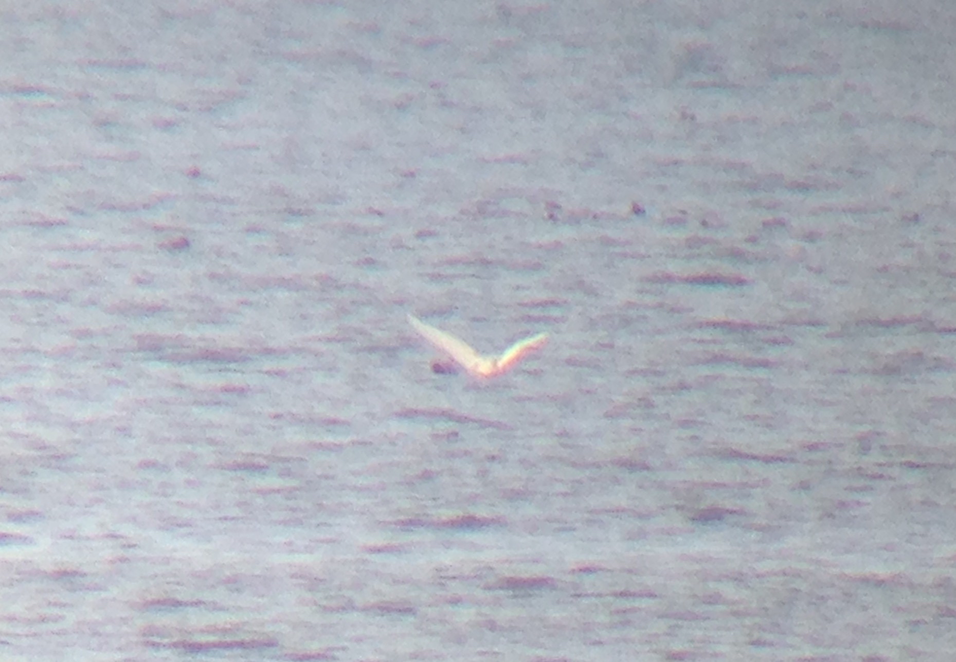
Glaucous Gull
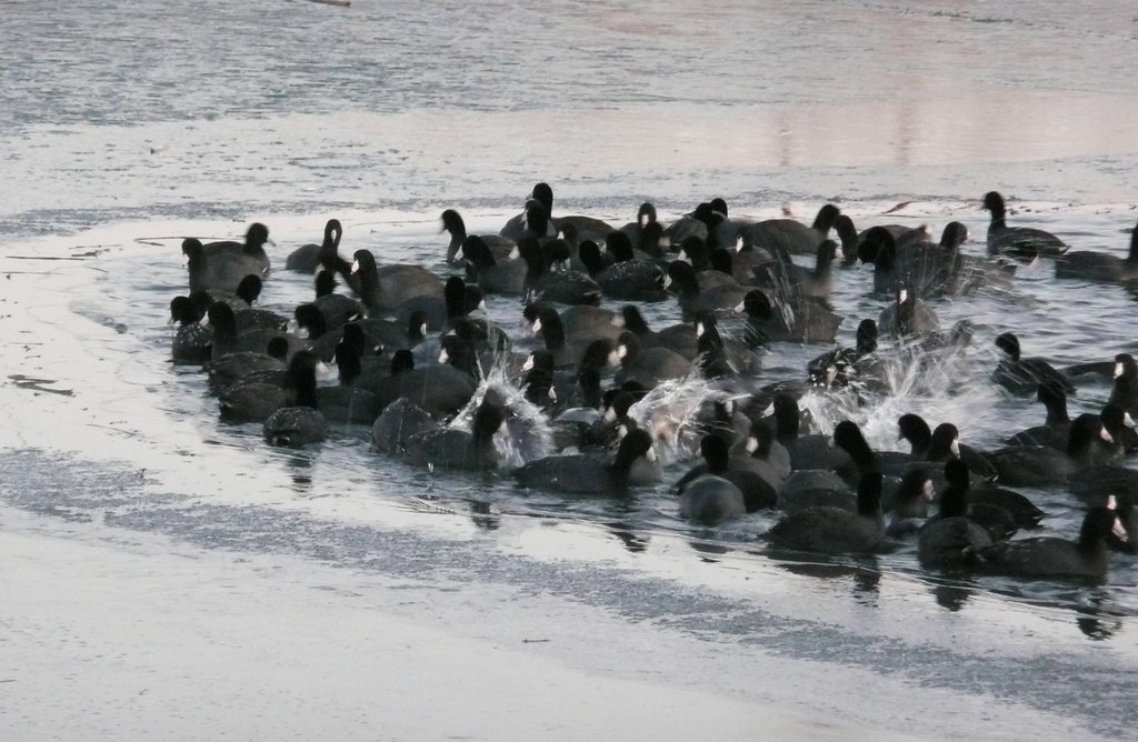
Icy Coots
20070910_8244...The Green Weenie atop Jump Off Joe
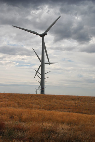
Pretty blades all in a row
Finley boat recovery
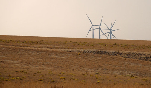
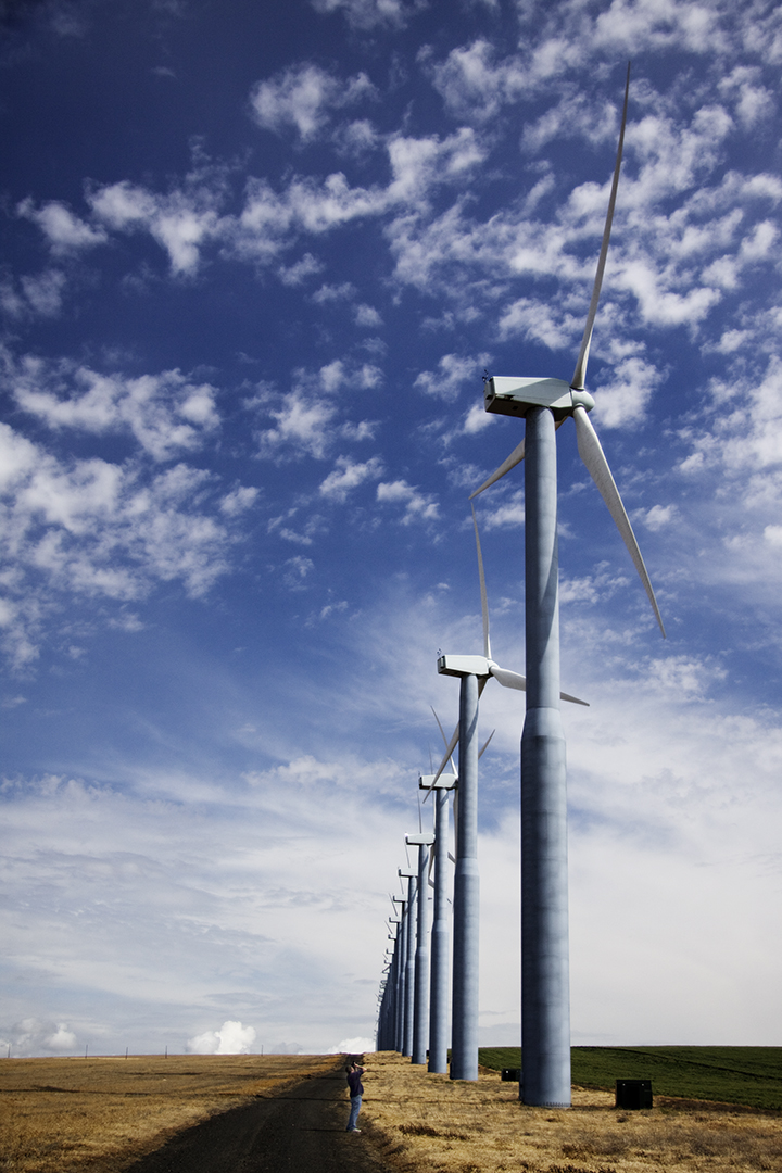
A new generation on the horizon
SEC #16, Juniper Canyon, mileage 18.31

Wallula Gap on Fire
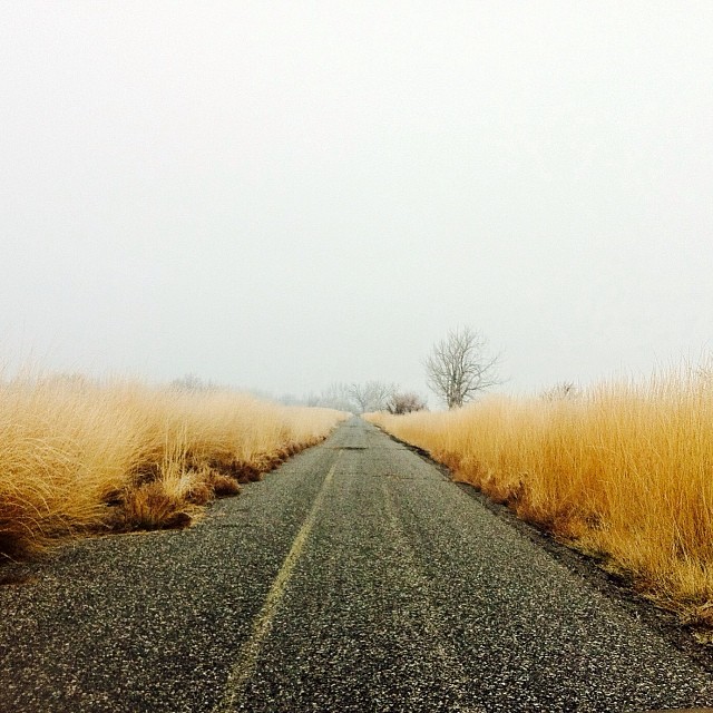
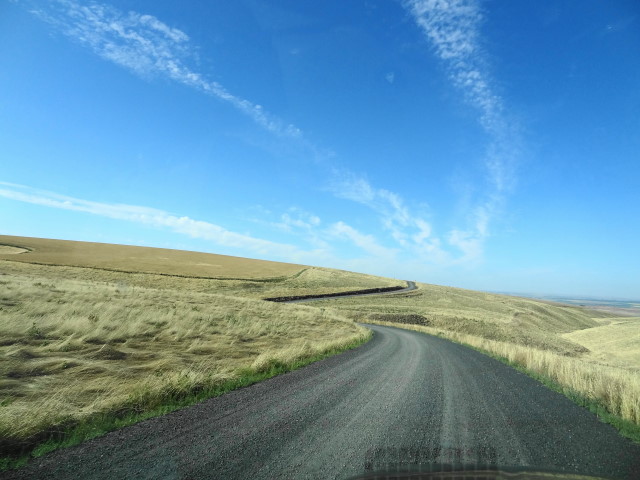
"The Road Less Traveled" #Washington #driving #fall #philpottcarl #scenery #hiking

#washington #water #philpottcarl #hiking #scenic #snow
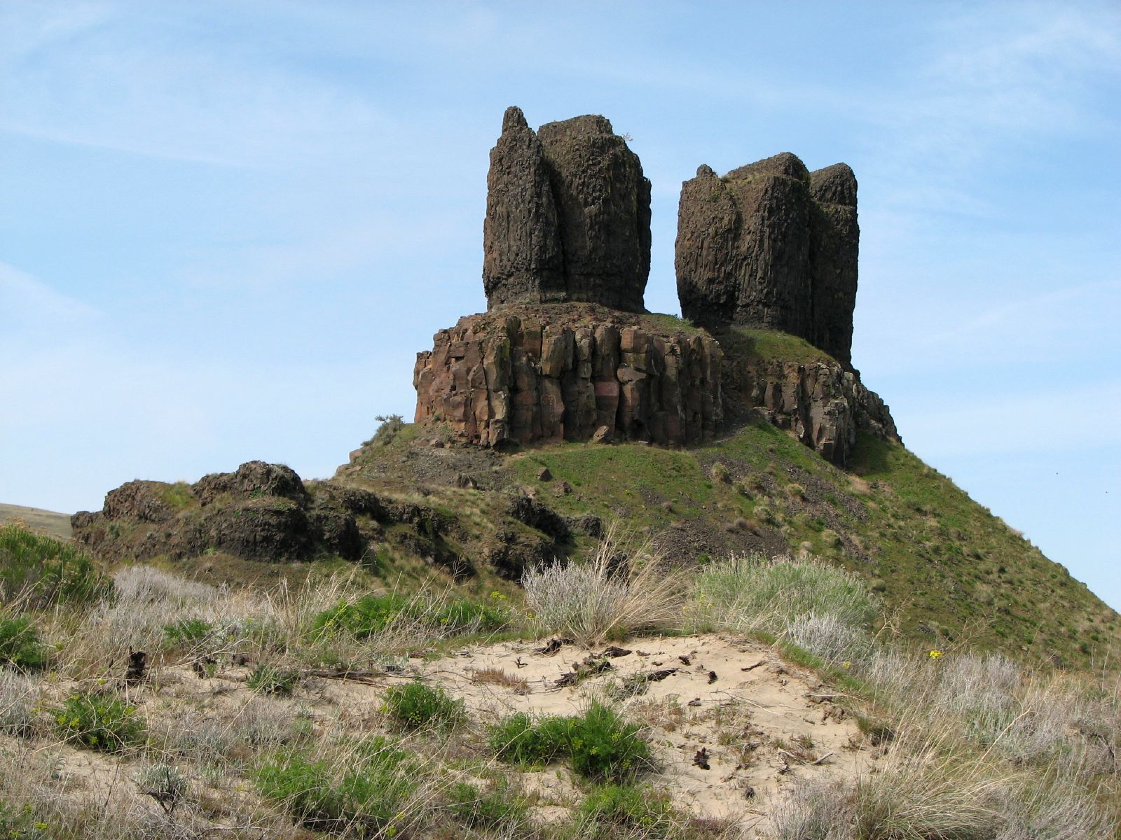
Twin Sisters
The World of Farms

Friend is a Four Letter Word

Twin sisters hike
Walulla Junction Morning Fog 1

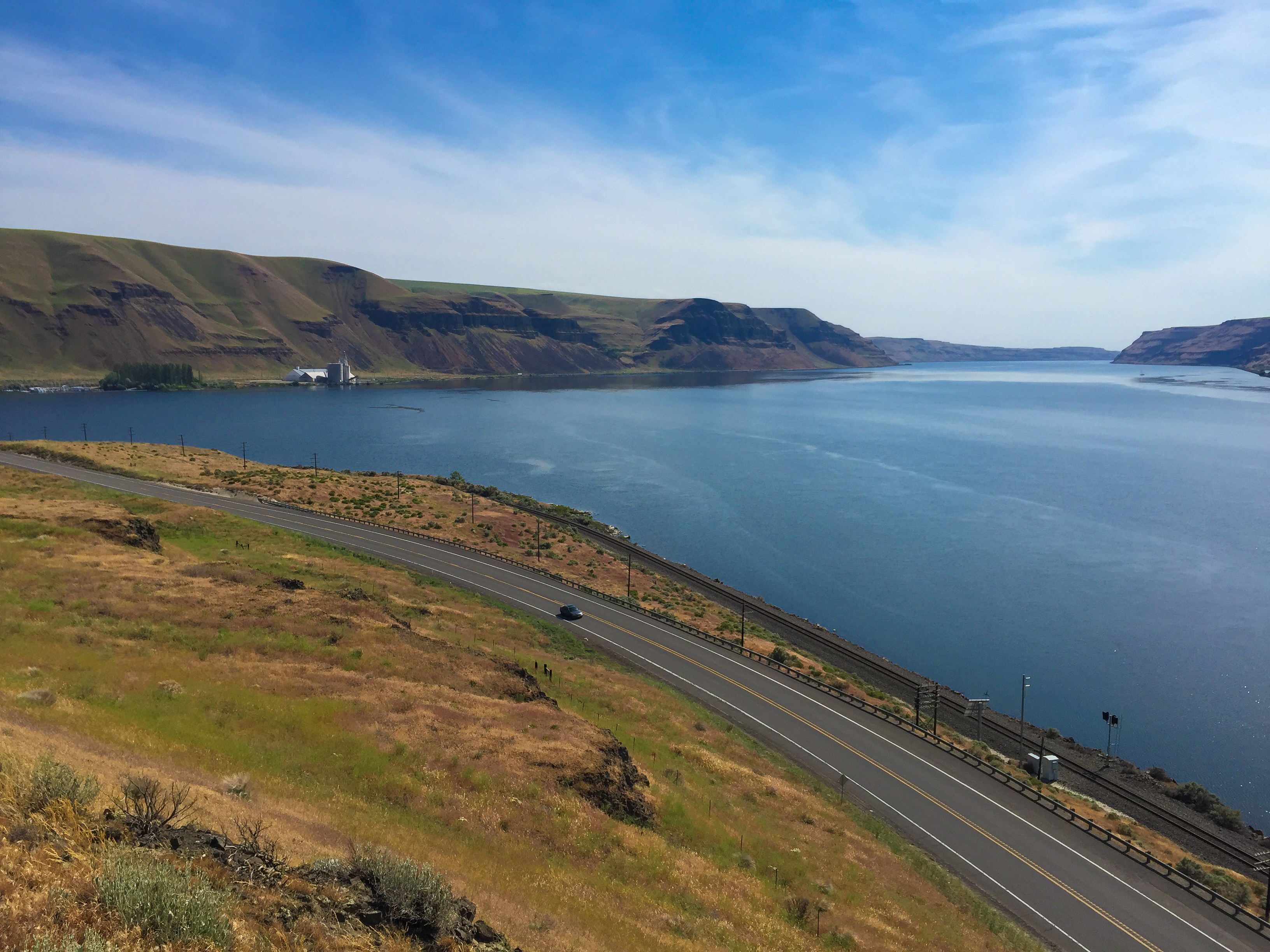
Wallula Gap
OF-67
Twin sisters hike

Mouth of the Gorge

Twin Rocks in Winter, monochrome
OF-63

OF-40
UP CBUPG @ Twin Sisters
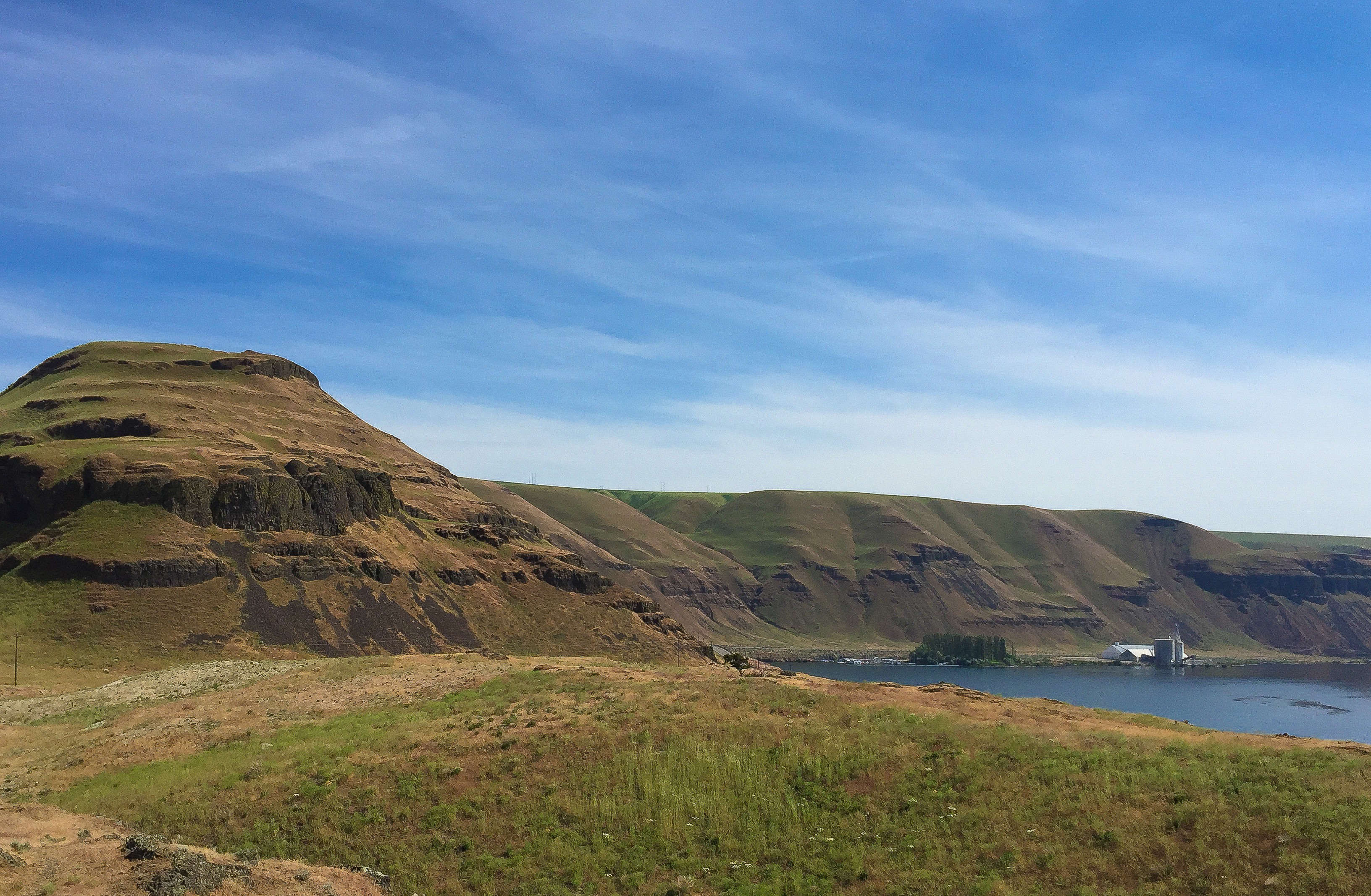
Twin sisters hike
Topographic Map of Lake Wallula, Washington, USA
Find elevation by address:

Places near Lake Wallula, Washington, USA:
Depot Rd, Touchet, WA, USA
Wallula
89 US-, Touchet, WA, USA
US-12, Burbank, WA, USA
US-12, Touchet, WA, USA
E Game Farm Rd, Kennewick, WA, USA
Burbank
311 Paradise Dr
Sacajawea Historical State Park
211008 E 193 Pr Se
607 E Columbia Dr
108 E 1st Ave
510 W 19th Ave
Kennewick
N Newport St, Kennewick, WA, USA
9 N Olympia St
2405 W Grand Ronde Ave
2982 S Keller Pl
3402 S Morain St
4600 S Neel St
Recent Searches:
- Elevation of Elwyn Dr, Roanoke Rapids, NC, USA
- Elevation of Congressional Dr, Stevensville, MD, USA
- Elevation of Bellview Rd, McLean, VA, USA
- Elevation of Stage Island Rd, Chatham, MA, USA
- Elevation of Shibuya Scramble Crossing, 21 Udagawacho, Shibuya City, Tokyo -, Japan
- Elevation of Jadagoniai, Kaunas District Municipality, Lithuania
- Elevation of Pagonija rock, Kranto 7-oji g. 8"N, Kaunas, Lithuania
- Elevation of Co Rd 87, Jamestown, CO, USA
- Elevation of Tenjo, Cundinamarca, Colombia
- Elevation of Côte-des-Neiges, Montreal, QC H4A 3J6, Canada