Elevation of 68 Pettyjohn Rd, Walla Walla, WA, USA
Location: United States > Washington > Walla Walla County > Walla Walla >
Longitude: -118.38968
Latitude: 46.2233469
Elevation: 301m / 988feet
Barometric Pressure: 98KPa
Elevation Map:
Satellite Map:
Related Photos:

The view from our first checkpoint.
From Skyrocket Road

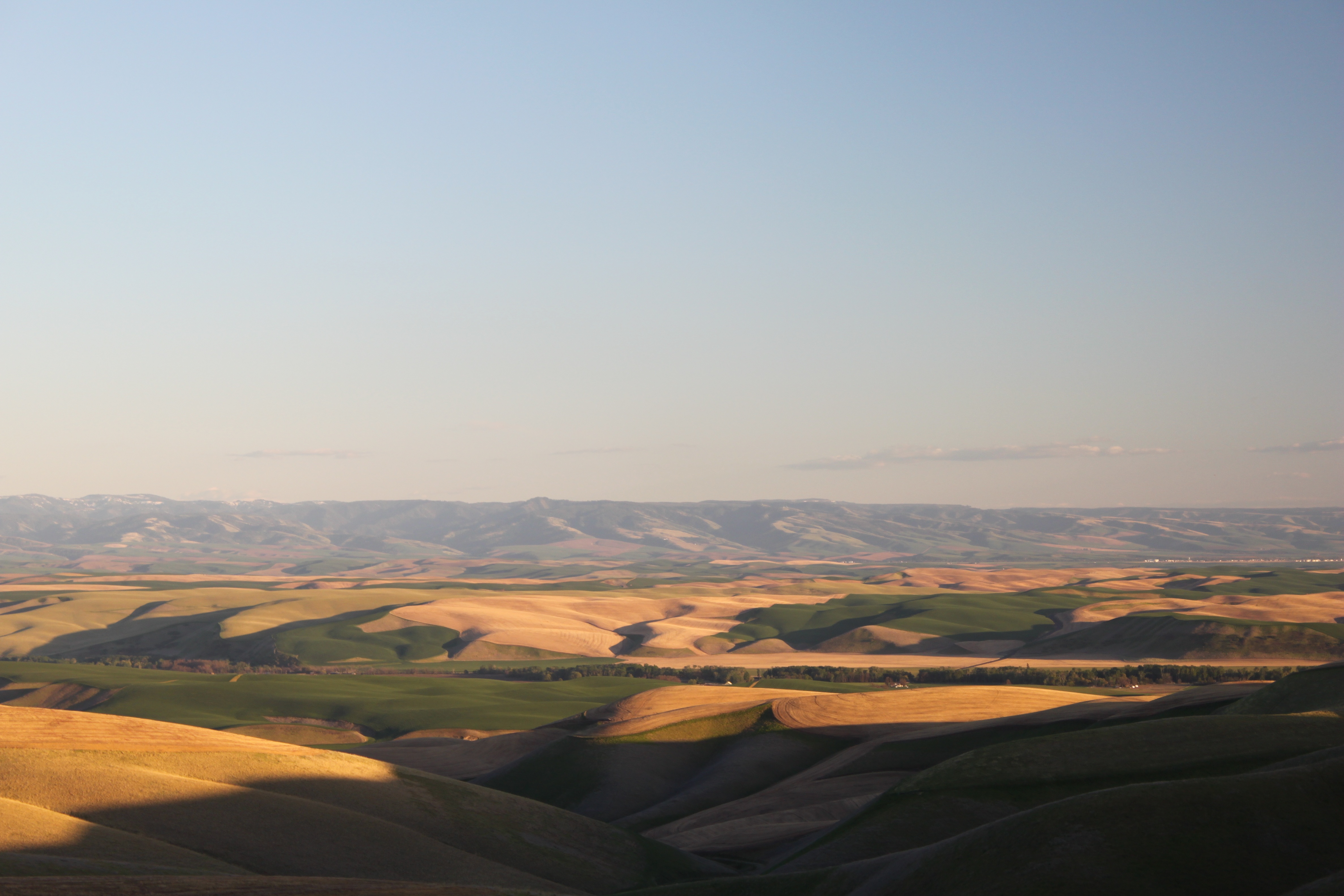
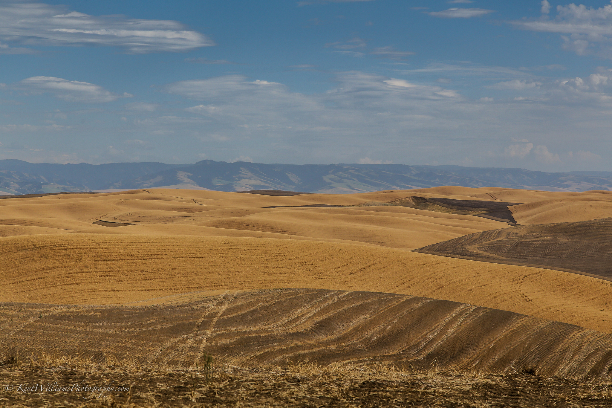
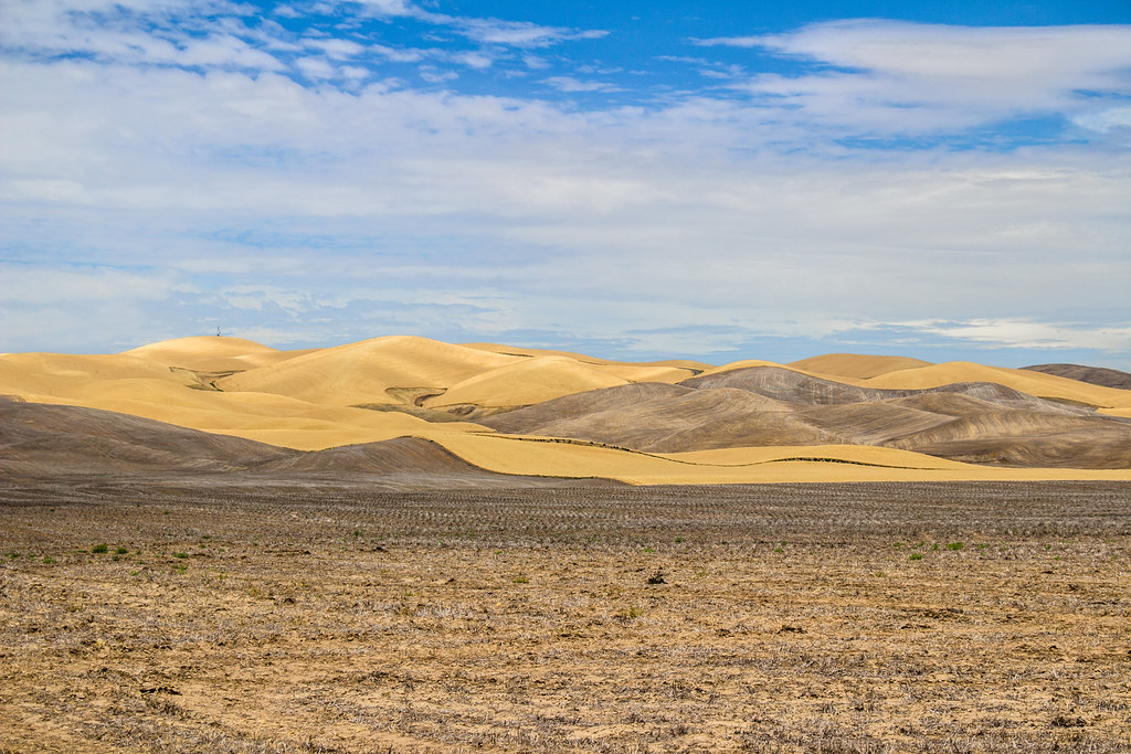
Rolling Hills
On the road to Spring Valley Vineyard
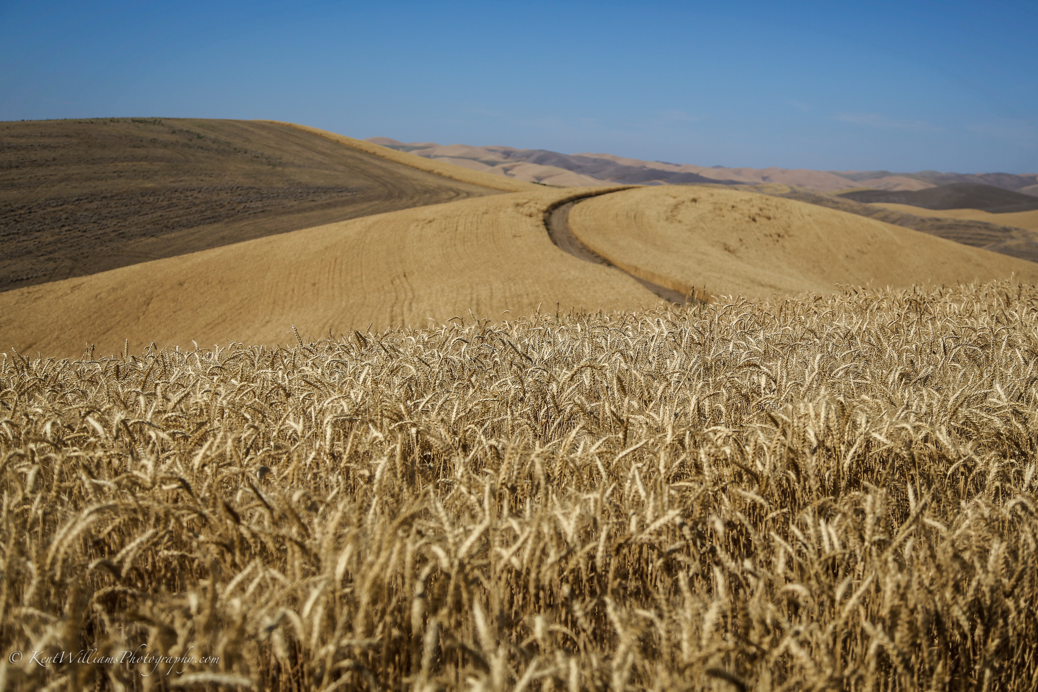
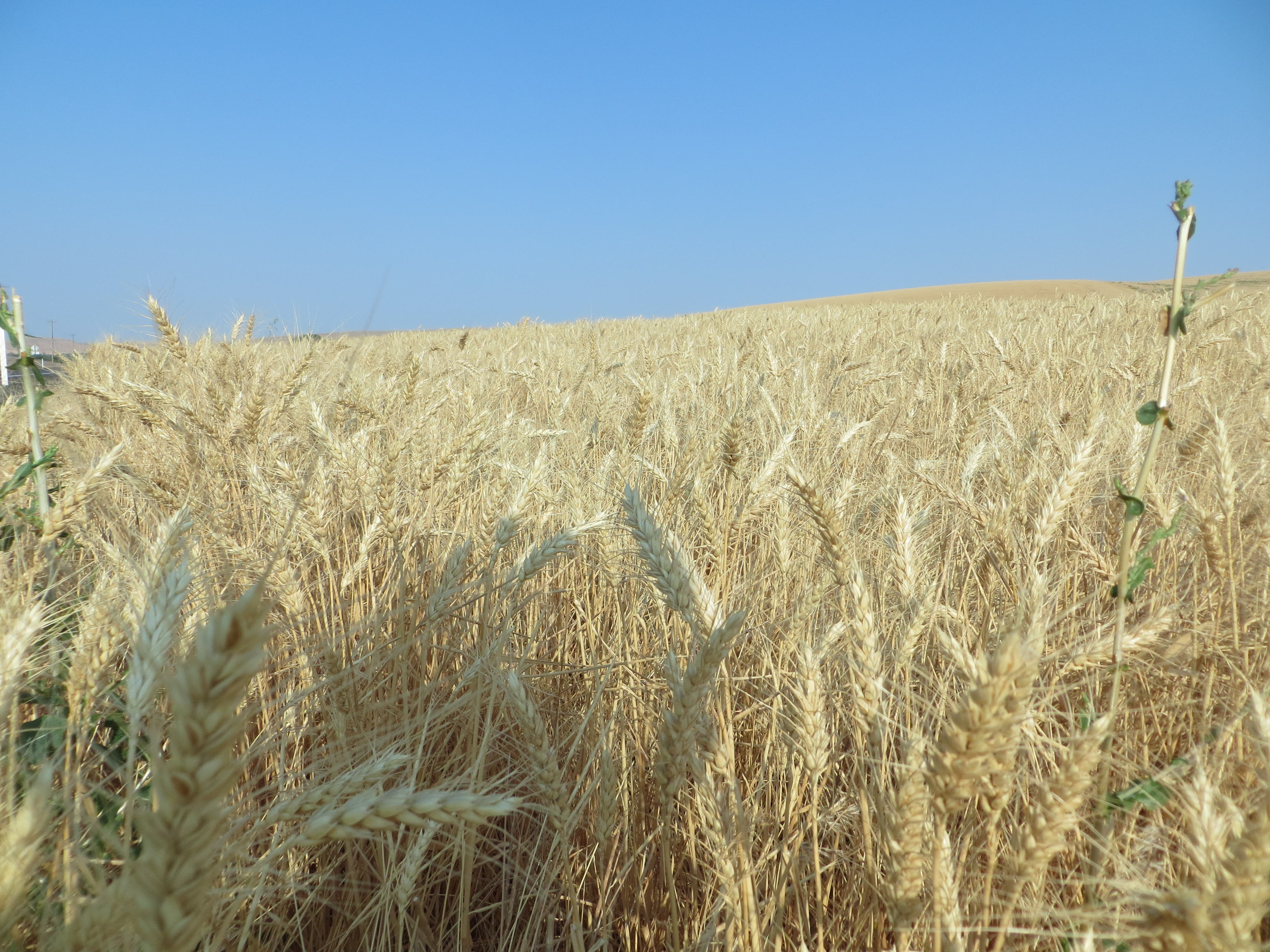
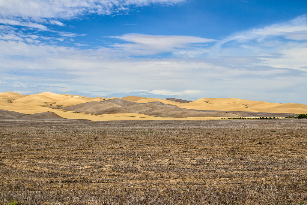
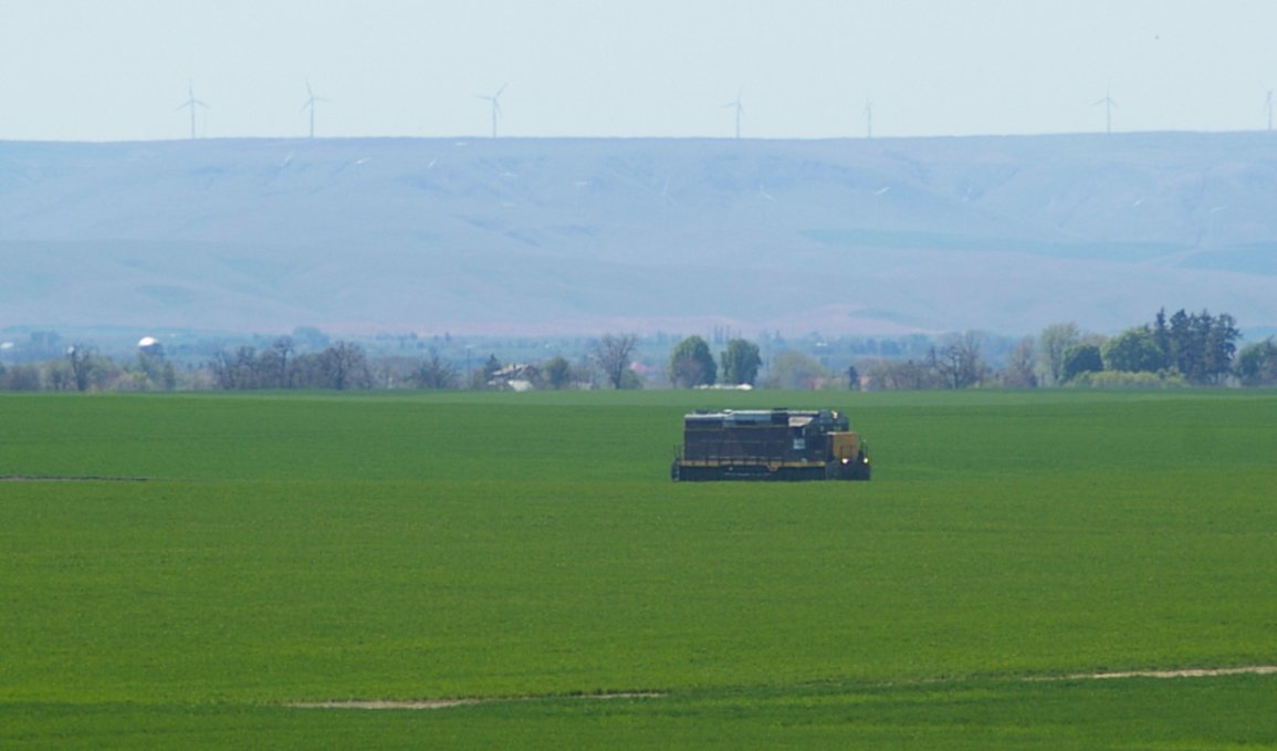
Amber Waves of Grain
Walla Walla Wheat Fields

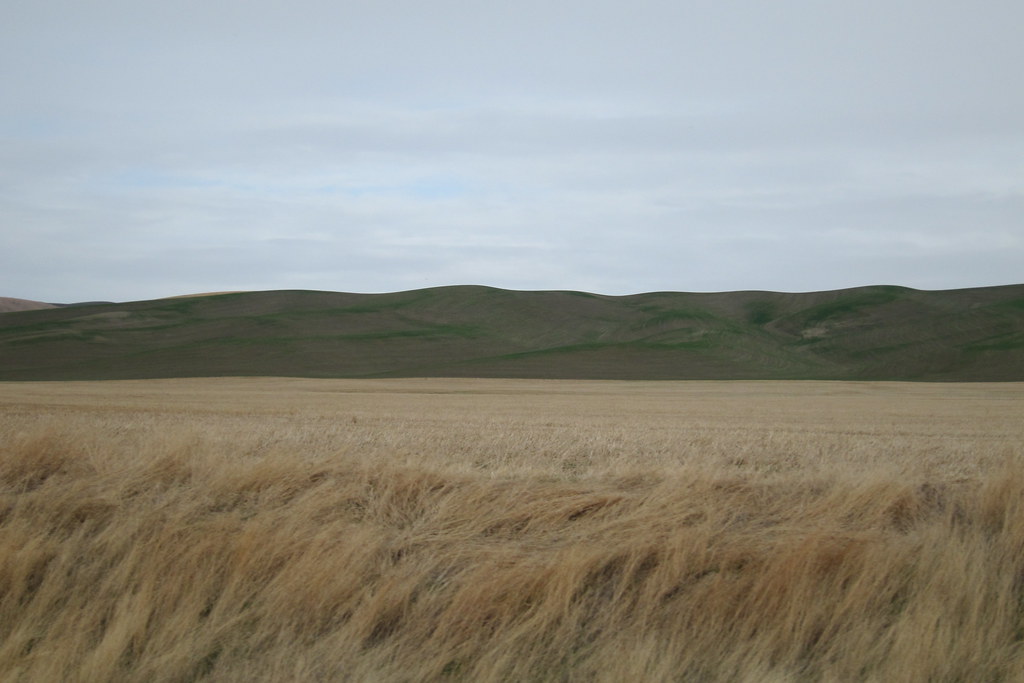
Waving grass

Welcome to Spring Life

IMG_7326.JPG

Palouse road

IMG_4914.jpg
IMG_4911.jpg

Prescott, WA 10.30.11 15.53 IMG_0804
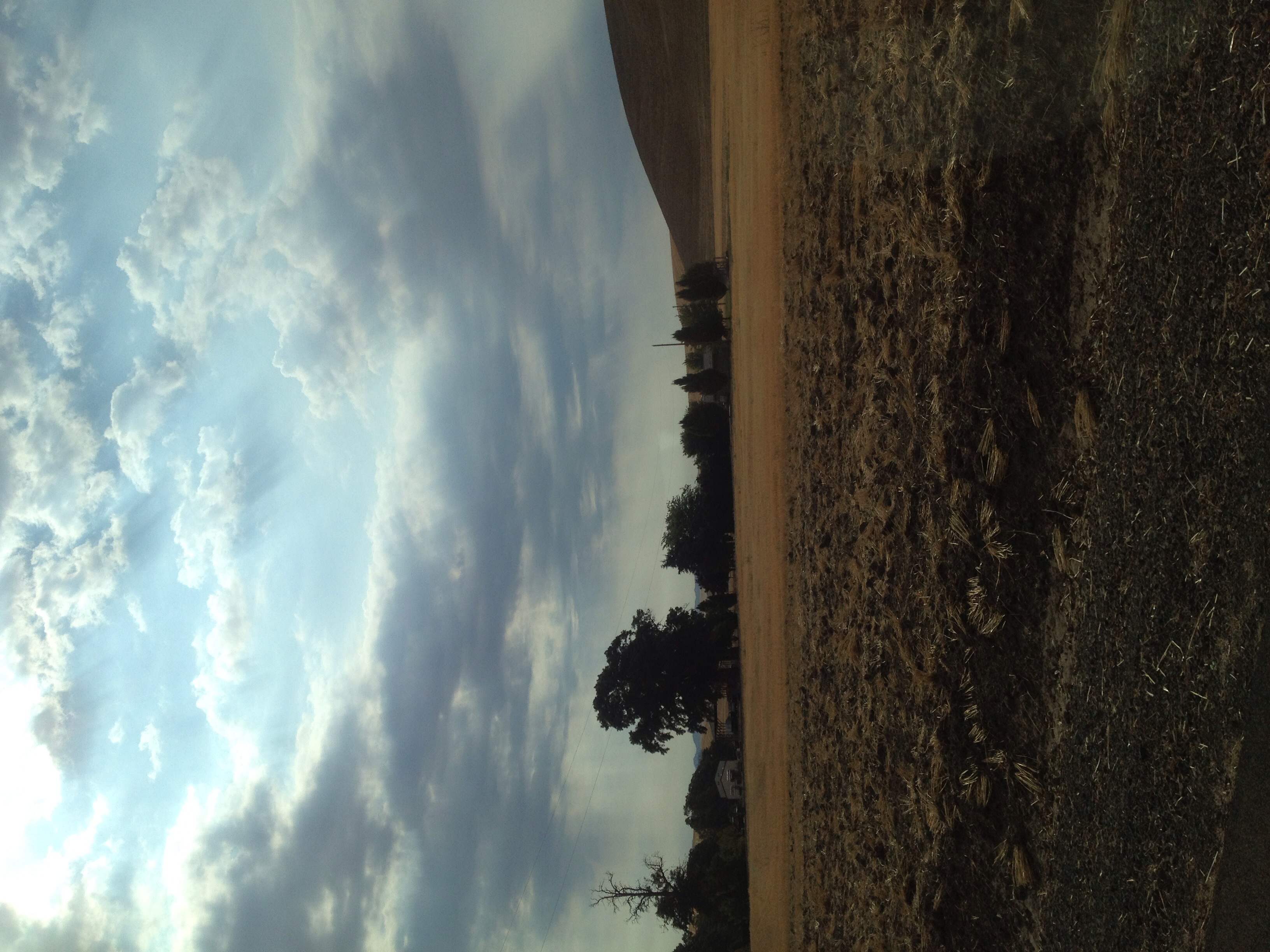
Wheat field
Prescott, WA 10.30.11 15.53 IMG_0803
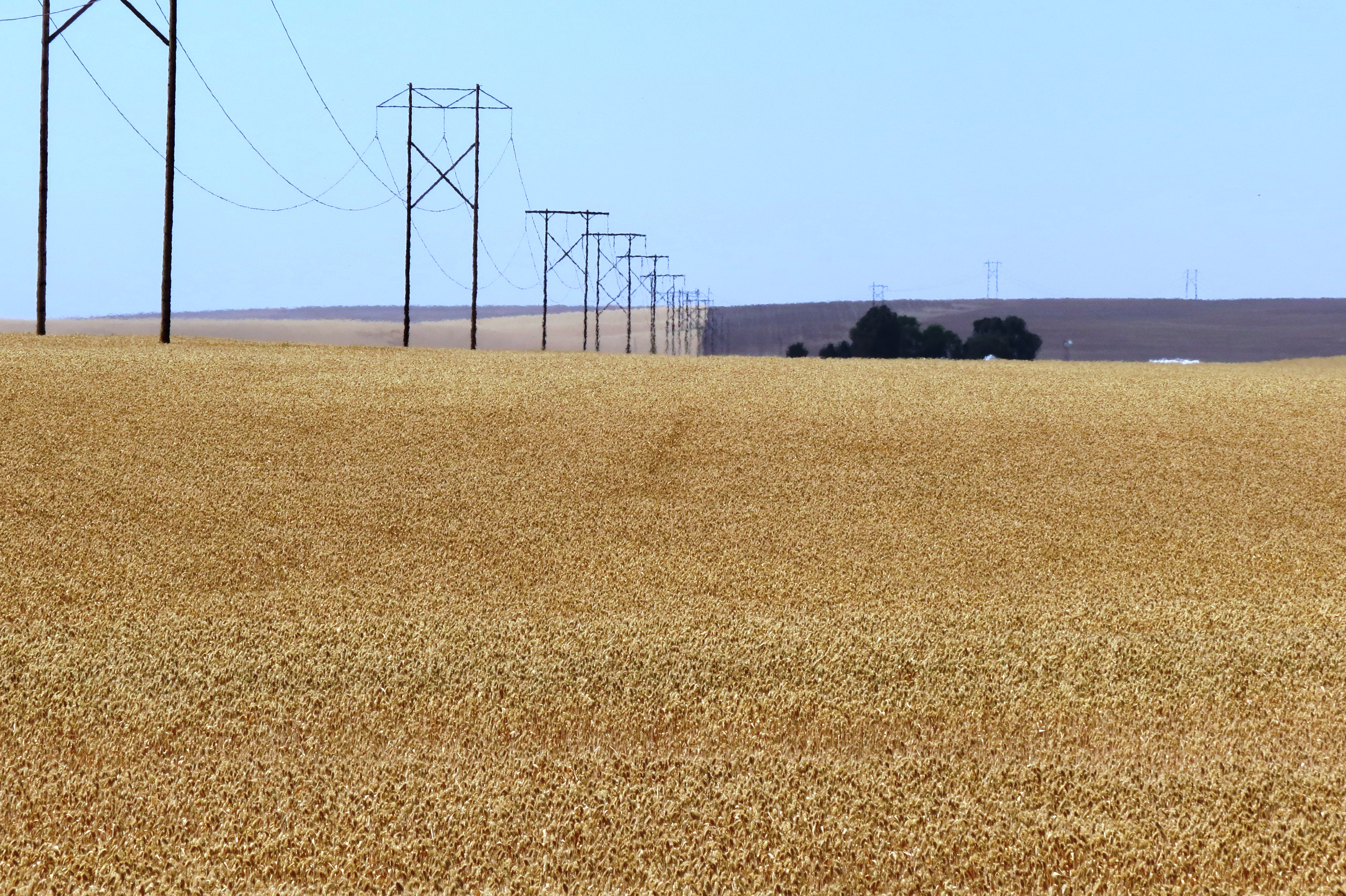
055 Power lines in wheat fileds Walla Walla WA USA
IMG_4907.jpg
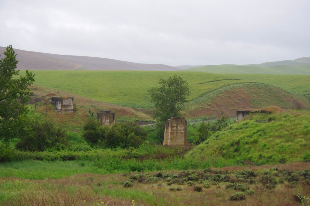
ex-Bridge over the Touchet River
Prescott, WA 10.30.11 15.55 IMG_0809

Prescott, WA 10.30.11 15.39 IMG_0799
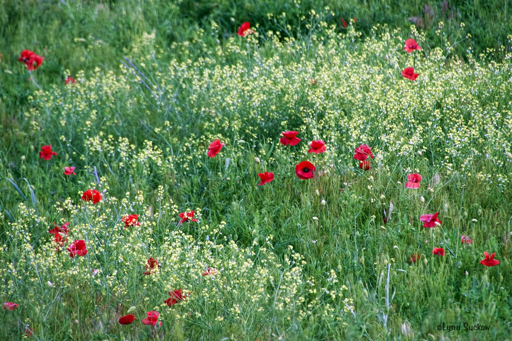
Mustard & poppies
Sea of Green
Topographic Map of 68 Pettyjohn Rd, Walla Walla, WA, USA
Find elevation by address:

Places near 68 Pettyjohn Rd, Walla Walla, WA, USA:
WA-, Prescott, WA, USA
939 Bergevin Springs Rd
Bergevin Springs Rd, Walla Walla, WA, USA
Sudbury Rd, Walla Walla, WA, USA
Borleske Stadium
1419 W Pine St
915 Alvarado Terrace
421 E Main St
937 E Isaacs Ave
Whitman College
2 W Main St
595 W Rose St
520 Troutdale Ave
Walla Walla
310 W Poplar St
150 Avery St
364 Catherine St
1075 Boyer Ave
710 Washington St
722 Washington St
Recent Searches:
- Elevation of Congressional Dr, Stevensville, MD, USA
- Elevation of Bellview Rd, McLean, VA, USA
- Elevation of Stage Island Rd, Chatham, MA, USA
- Elevation of Shibuya Scramble Crossing, 21 Udagawacho, Shibuya City, Tokyo -, Japan
- Elevation of Jadagoniai, Kaunas District Municipality, Lithuania
- Elevation of Pagonija rock, Kranto 7-oji g. 8"N, Kaunas, Lithuania
- Elevation of Co Rd 87, Jamestown, CO, USA
- Elevation of Tenjo, Cundinamarca, Colombia
- Elevation of Côte-des-Neiges, Montreal, QC H4A 3J6, Canada
- Elevation of Bobcat Dr, Helena, MT, USA