Elevation of 2 W Main St, Walla Walla, WA, USA
Location: United States > Washington > Walla Walla County > Walla Walla >
Longitude: -118.33967
Latitude: 46.0669001
Elevation: 290m / 951feet
Barometric Pressure: 98KPa
Elevation Map:
Satellite Map:
Related Photos:

The view from our first checkpoint.
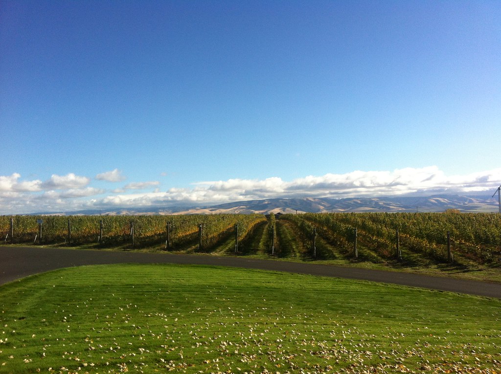
Amazing VIew Pepper Bridge Winery

Gristmill site from across grounds, Whitman Mission NHS
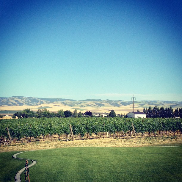
I really can't get enough of this view.
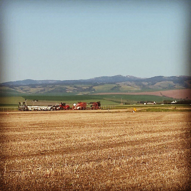
Northstar Winery, Walla Walla.
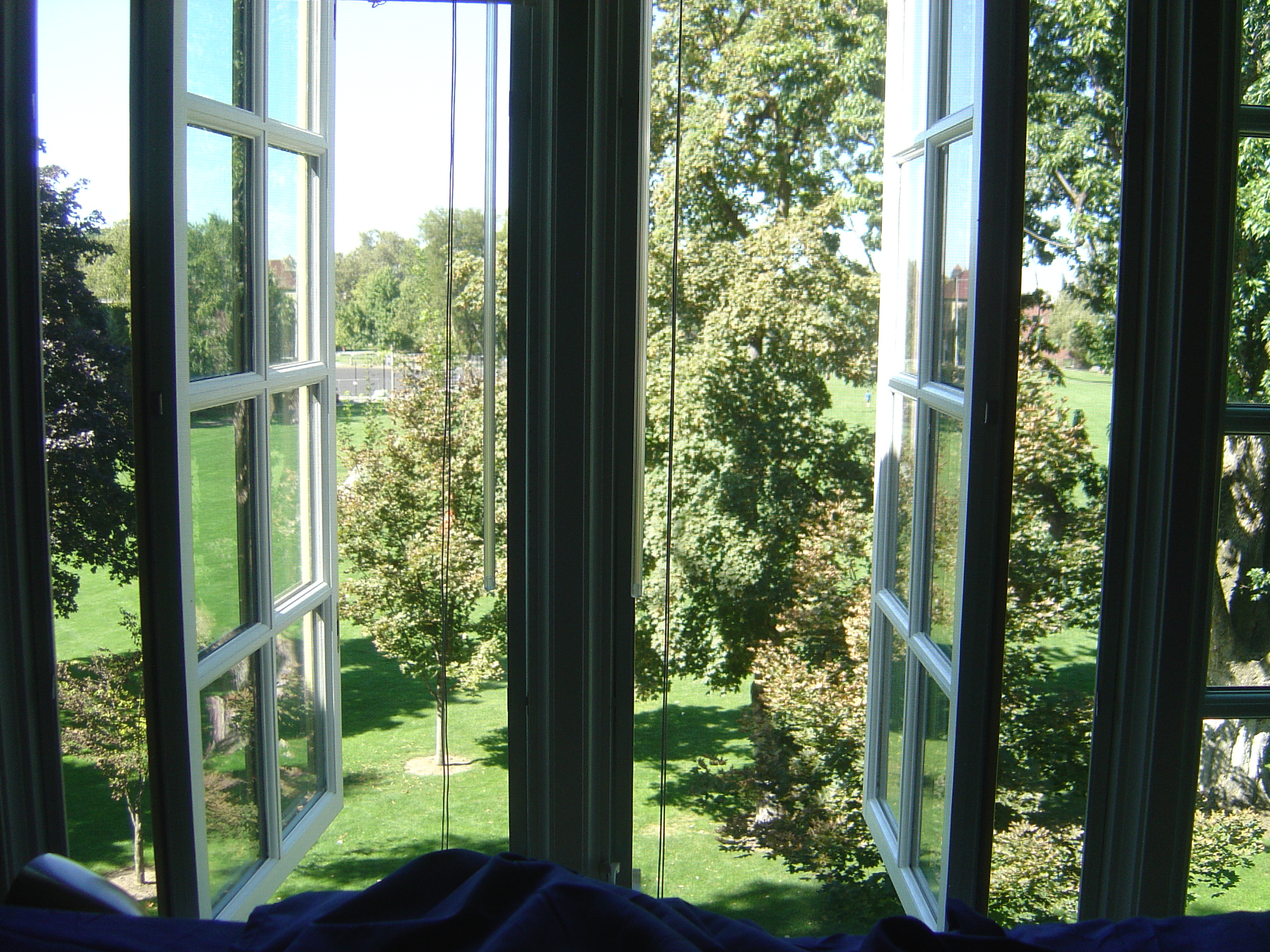
And the view from Arthur and Colin's Lyman House bedroom, looking across Ankeny Field toward the library

Whitman Station grounds

Whitman Mission National Historic Site

Memorial Hill from the Gristmill site

What Narcissa Last Saw

North from the Mission Grounds

The View West from Monument Hill

View looking from the corrals site to the blacksmith shop site

The rest of Memorial Hill

From the Blacksmith's Shop, looking West

Pásxapu Waiilatpu village site

From the Corrals toward the Mission House
Topographic Map of 2 W Main St, Walla Walla, WA, USA
Find elevation by address:

Places near 2 W Main St, Walla Walla, WA, USA:
Walla Walla
310 W Poplar St
421 E Main St
364 Catherine St
595 W Rose St
Whitman College
Borleske Stadium
937 E Isaacs Ave
915 Alvarado Terrace
710 Washington St
722 Washington St
507 Bryant Ave
1527 Catherine St
1403 Howard St
1403 Howard St
150 Avery St
113 Delmas St
1075 Boyer Ave
1419 W Pine St
1202 Bryant Ave
Recent Searches:
- Elevation of Corso Fratelli Cairoli, 35, Macerata MC, Italy
- Elevation of Tallevast Rd, Sarasota, FL, USA
- Elevation of 4th St E, Sonoma, CA, USA
- Elevation of Black Hollow Rd, Pennsdale, PA, USA
- Elevation of Oakland Ave, Williamsport, PA, USA
- Elevation of Pedrógão Grande, Portugal
- Elevation of Klee Dr, Martinsburg, WV, USA
- Elevation of Via Roma, Pieranica CR, Italy
- Elevation of Tavkvetili Mountain, Georgia
- Elevation of Hartfords Bluff Cir, Mt Pleasant, SC, USA