Elevation of S La Salle St, Redlands, CA, USA
Location: United States > California > San Bernardino County > Redlands > Riverside-san Bernardino-ontario, Ca > South Redlands >
Longitude: -117.14354
Latitude: 34.0517569
Elevation: 508m / 1667feet
Barometric Pressure: 95KPa
Elevation Map:
Satellite Map:
Related Photos:

prcssd. combat camera. san bernardino, ca. 2011.

ATK 714E @ El Casco

Santa Ana River Valley
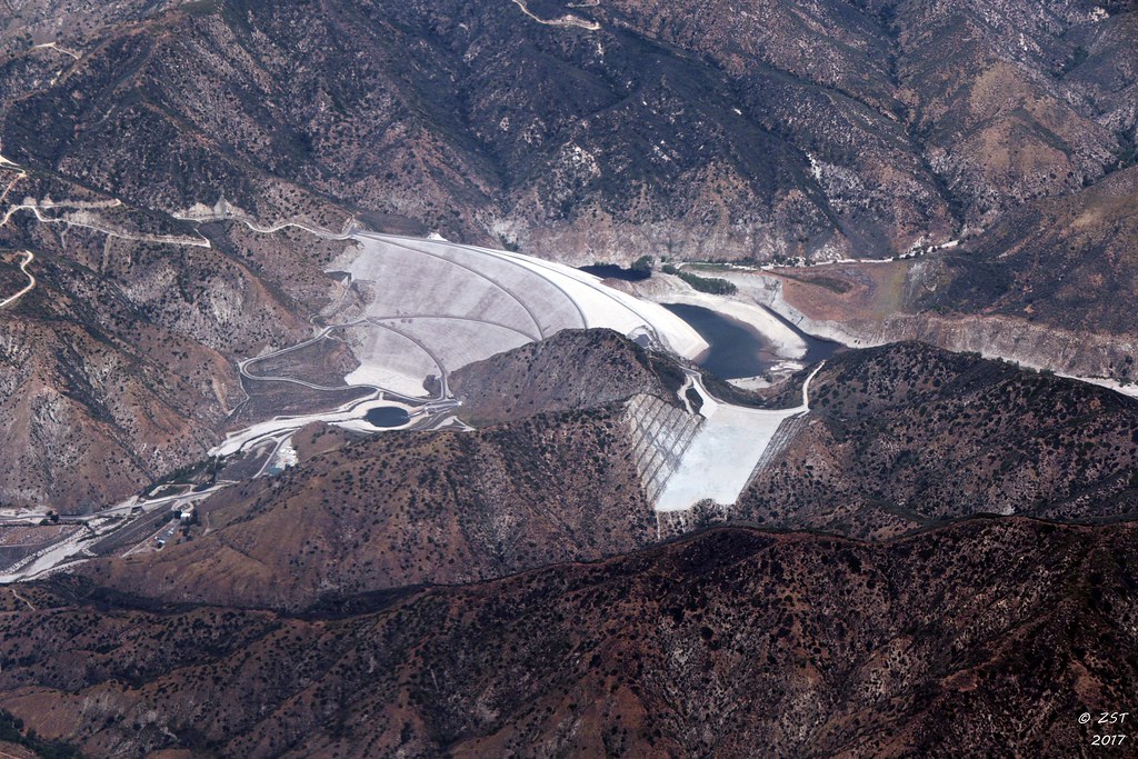
7 Oaks Dam

mountainview power plant. redlands, ca. 2011.
Spring Valley
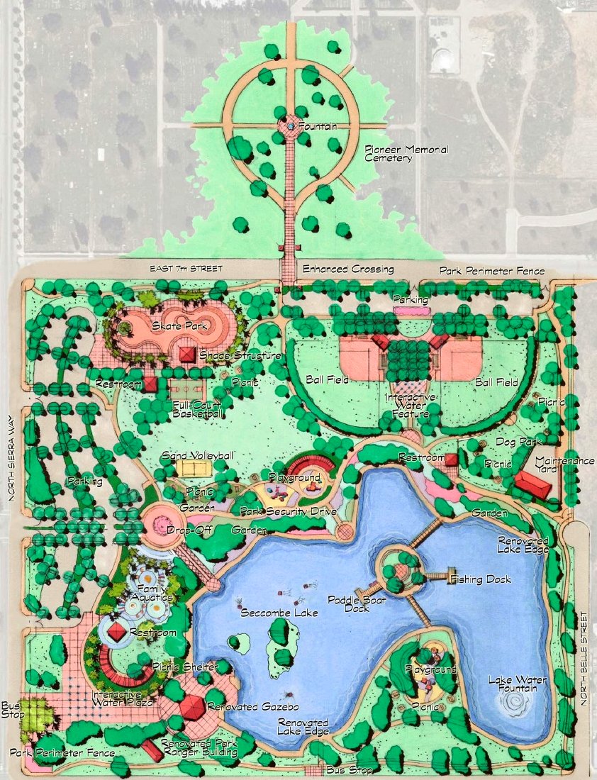
Site Plan for Renovations to Seccombe Lake and for Its Integration with the Pioneer Historical Gardens

Interstate 10 Westbound Redlands Freeway approaches at Exit 75 - Mountain View Avenue Loma Linda on auxiliary right lane EXIT ONLY (Cross Intersection Traffic Signal Light Ahead) with this overhead sign located at Redlands, California 92374.
little people in the nexus

Sunset Valley I
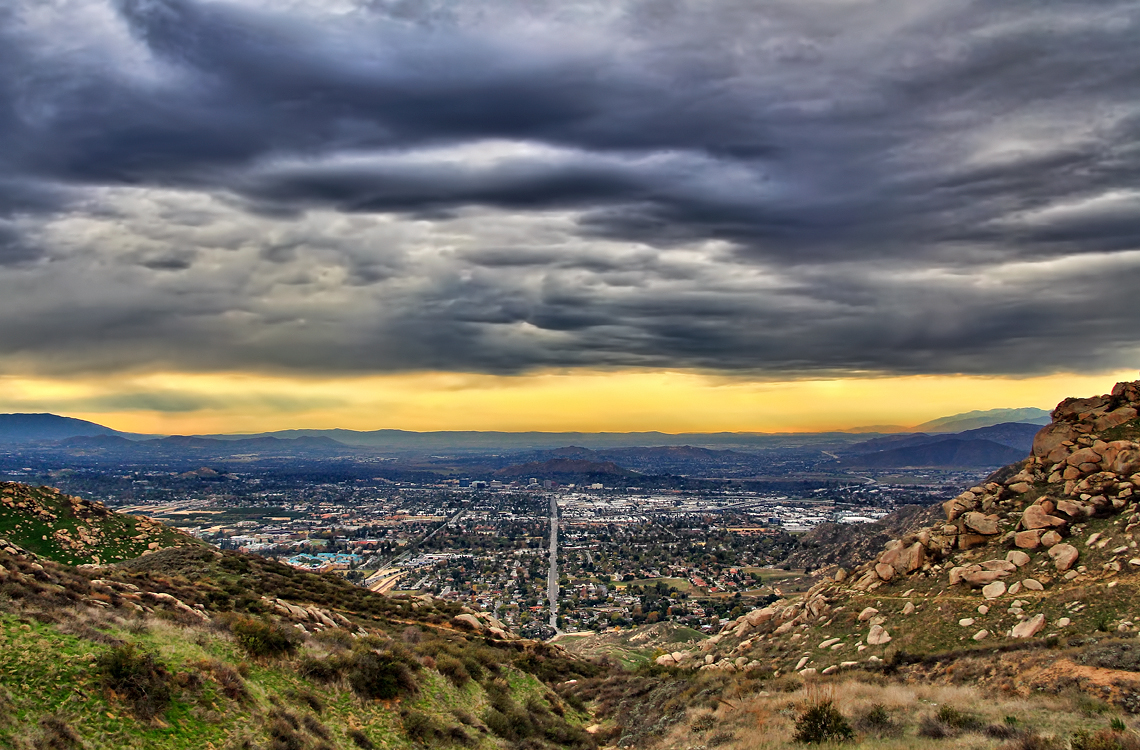
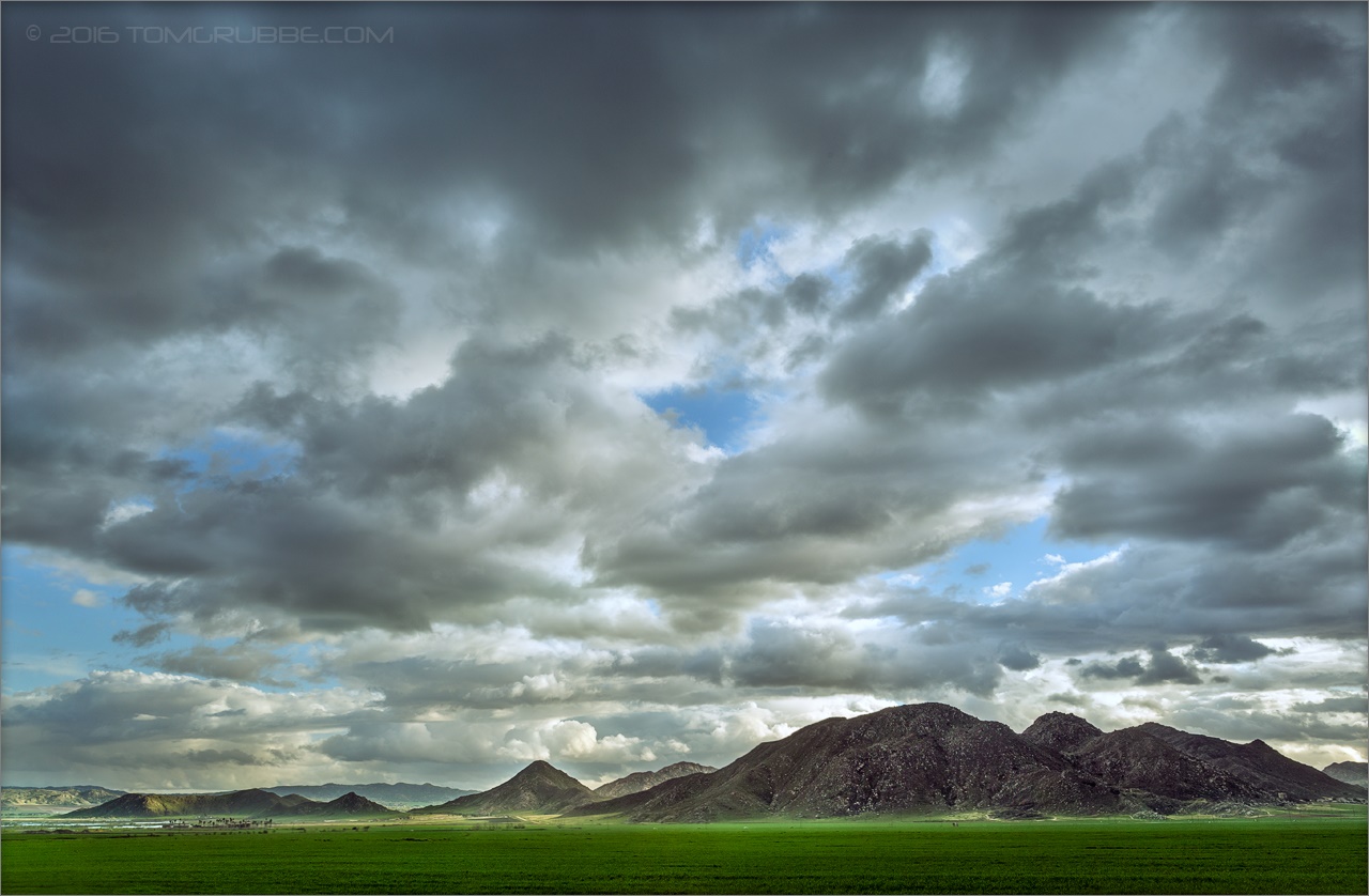
Storm over the Inland Empire

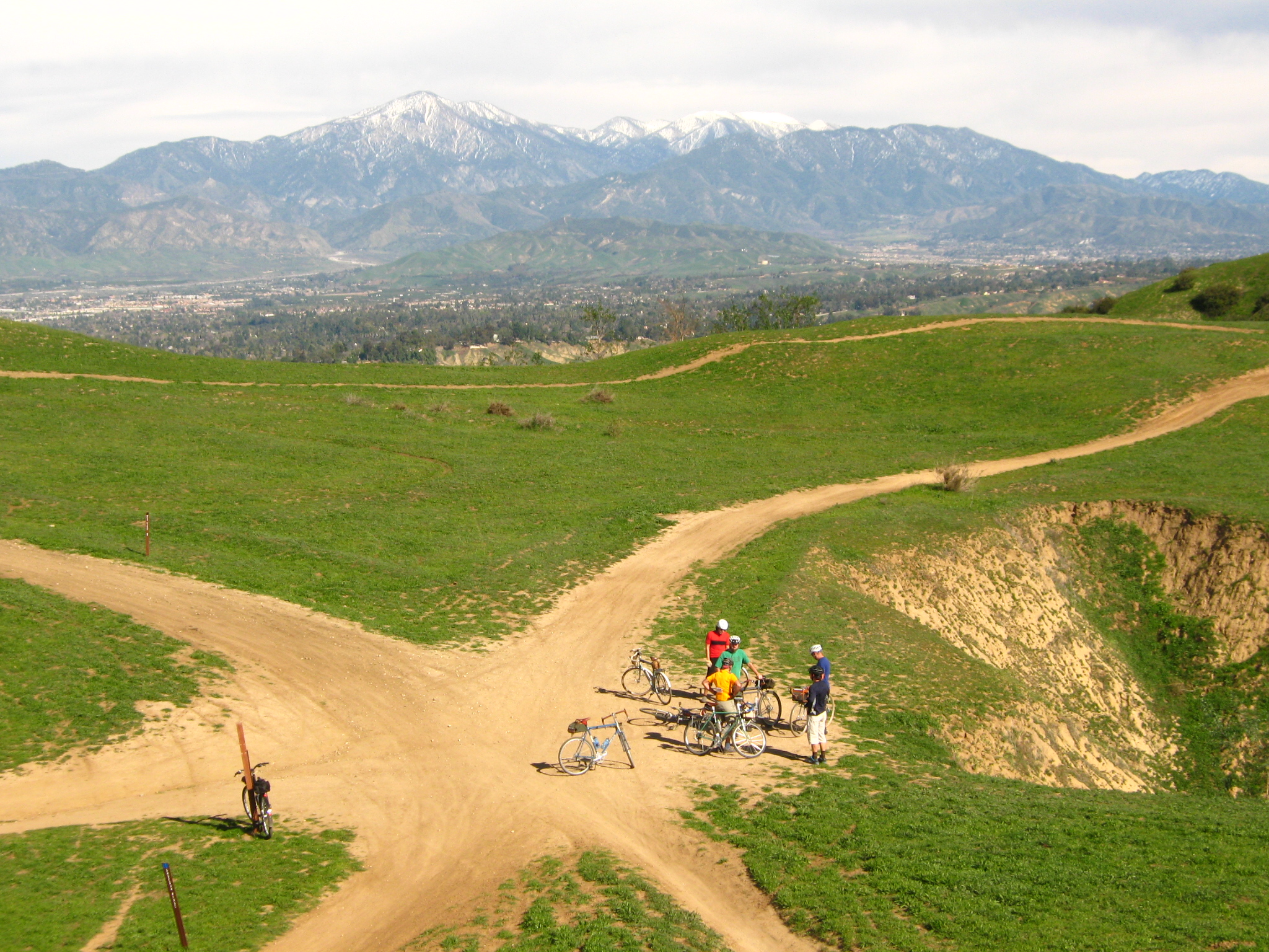
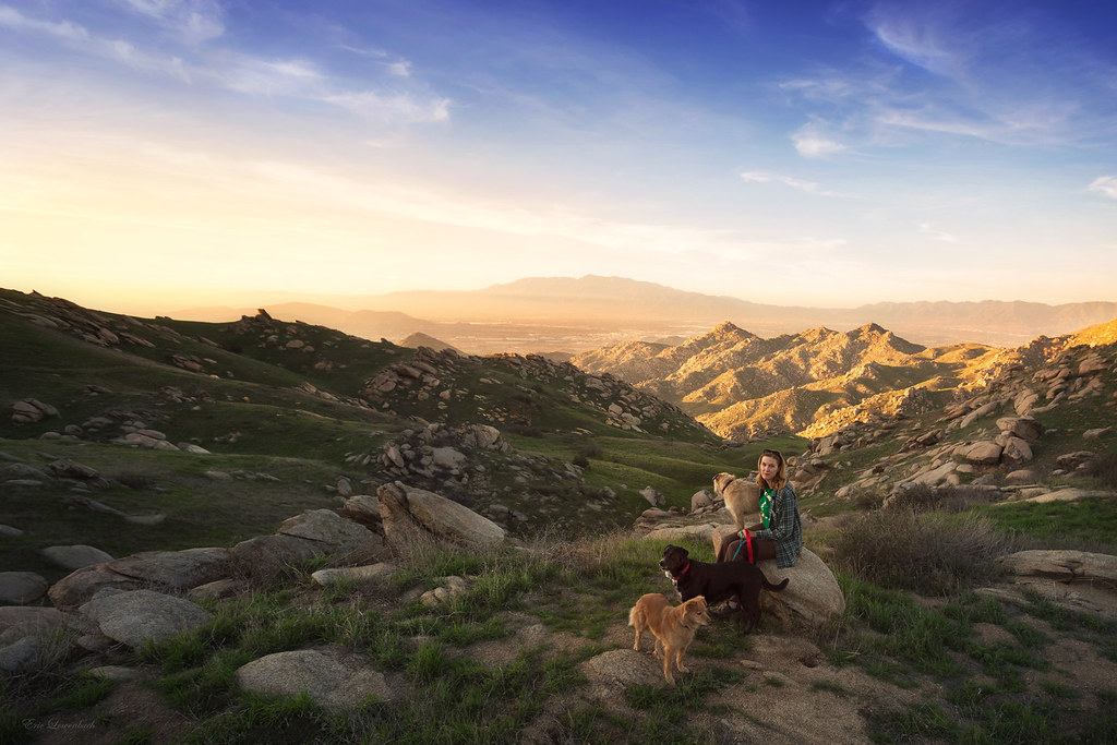
Shooting Spot in the Hills

the view from here [7:52]

sunny rear view

Back From the Desert

May your day be blessed and full of strippers and burritos or pizza Birds ???? eye ???? view #330

What a view this morning!

Not Too Shabby

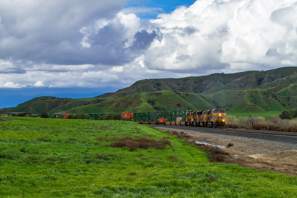
Santa Fe Main Leaving San Bernardino

Original to these lands.

Live Oak Farms, Wagon 12-9-12

Snaking Up Beaumont

Mill Creek Canyon

Morey Mansion of Redlands

Fire under a Full Moon II
Box Springs

iPhone pano: Box Springs Hike

Patriots Jet Team

Social Gathering, Ford Park, Redlands, CA 8-12

Bridge at Sunset

San Timoteo Nature Trail

UP 7492

Spring Valley
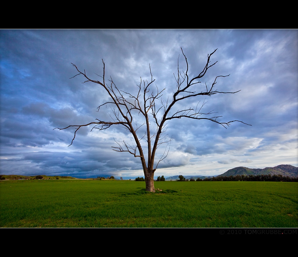
Tree and Field

Mill Creek - Mentone, CA, USA

Sunset Valley II

Palm Springs - 2017
Lush Hills
Topographic Map of S La Salle St, Redlands, CA, USA
Find elevation by address:

Places near S La Salle St, Redlands, CA, USA:
15 Dolores Ct
125 Amber Ct
311 Wabash Ave
Independence Ave, Redlands, CA, USA
1456 Pleasant View Dr
661 Fox Ct
951 Wabash Ave
1105 Country Pl
1216 Vía Barcelona
1216 Jasmine St
1032 Dracena Ct
Mentone
Mill Creek Cattle Company ~ Mill Creek Weddings
East Sunset Drive North
1350 Wabash Ave
727 Coronado Dr
East Drive
708 E Sunset Dr N
1365 Beryl Ave
418 Jordan Dr
Recent Searches:
- Elevation of 6 Rue Jules Ferry, Beausoleil, France
- Elevation of Sattva Horizon, 4JC6+G9P, Vinayak Nagar, Kattigenahalli, Bengaluru, Karnataka, India
- Elevation of Great Brook Sports, Gold Star Hwy, Groton, CT, USA
- Elevation of 10 Mountain Laurels Dr, Nashua, NH, USA
- Elevation of 16 Gilboa Ln, Nashua, NH, USA
- Elevation of Laurel Rd, Townsend, TN, USA
- Elevation of 3 Nestling Wood Dr, Long Valley, NJ, USA
- Elevation of Ilungu, Tanzania
- Elevation of Yellow Springs Road, Yellow Springs Rd, Chester Springs, PA, USA
- Elevation of Rēzekne Municipality, Latvia