Elevation of Jasmine St, Redlands, CA, USA
Location: United States > California > San Bernardino County > Redlands > North Redlands >
Longitude: -117.14506
Latitude: 34.0690016
Elevation: 480m / 1575feet
Barometric Pressure: 96KPa
Elevation Map:
Satellite Map:
Related Photos:

Queen's Fine Food

SD Trucks In The Shops Over The Pit

sunny rear view

Live Oak Farms, Wagon 12-9-12
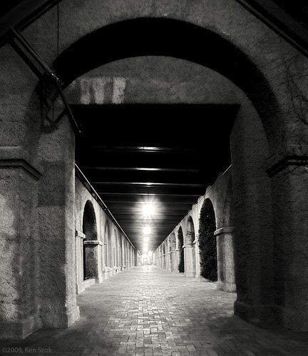
Station Corridor

air combat camera service. san bernardino, ca. 2011.

Living Large, Canyon View, Redlands 5-19-13
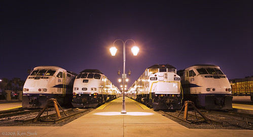
Tied Down for the Night

Sunset Over Redlands Bowl 6-26-13
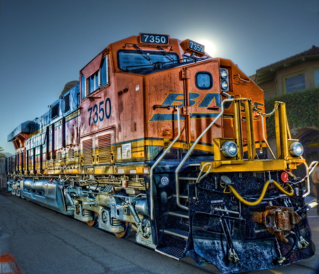
BNSF 7350 at the "Cajon Day" Celebration in Hyper-HDR

Southwest Chief @ San Bernardino Ca.

palm trees. north redlands, ca. 2011.

prcssd. combat camera. san bernardino, ca. 2011.

ATK 714E @ El Casco

Valley View

Thanksgiving Sunset HDR

Shooting Spot in the Hills

the view from here [7:52]

San Bernardino Valley

Seven Oaks Dam

May your day be blessed and full of strippers and burritos or pizza Birds ???? eye ???? view #330

palm trees. north redlands, ca. 2011.

Yucaipa/Mentone Fire

#sanbernardinomountains #mountains #runningsprings #hwy18

Morey Mansion of Redlands
Sunsets are beautiful

Sunset Valley II

Yucaipa California
2018-10-14_10-43-50
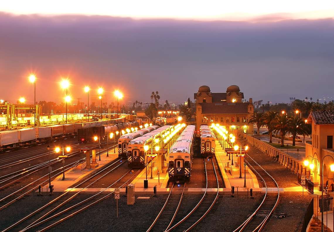
The Historic Santa Fe Depot in Downtown San Bernardino
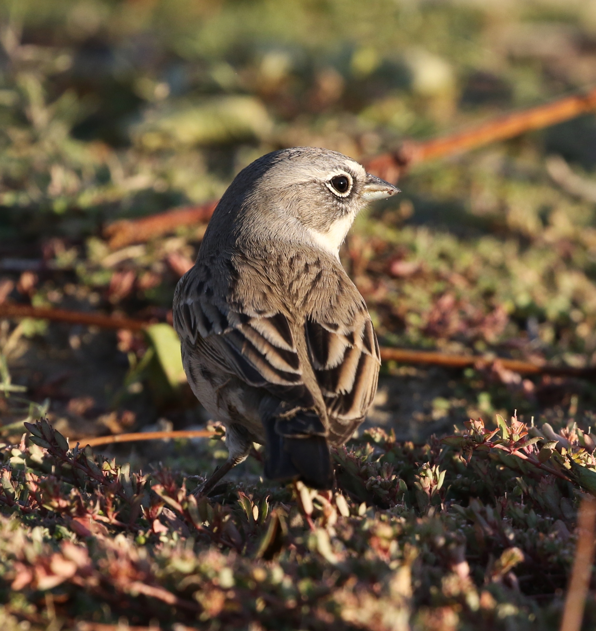
"Sage" Sparrow
San Bernardino National Forest, California
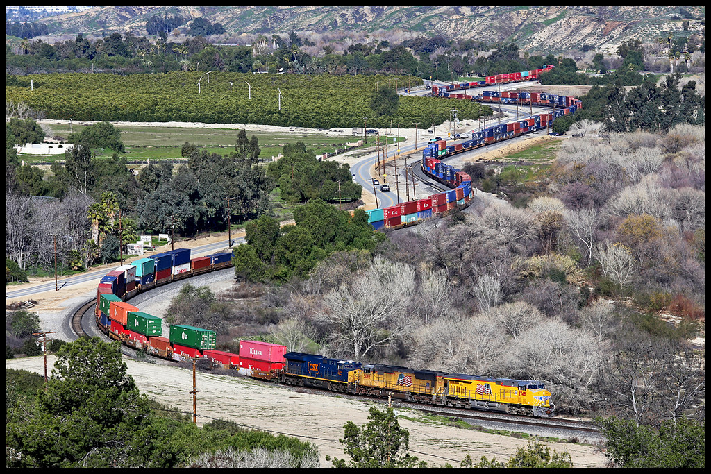
UP 2748

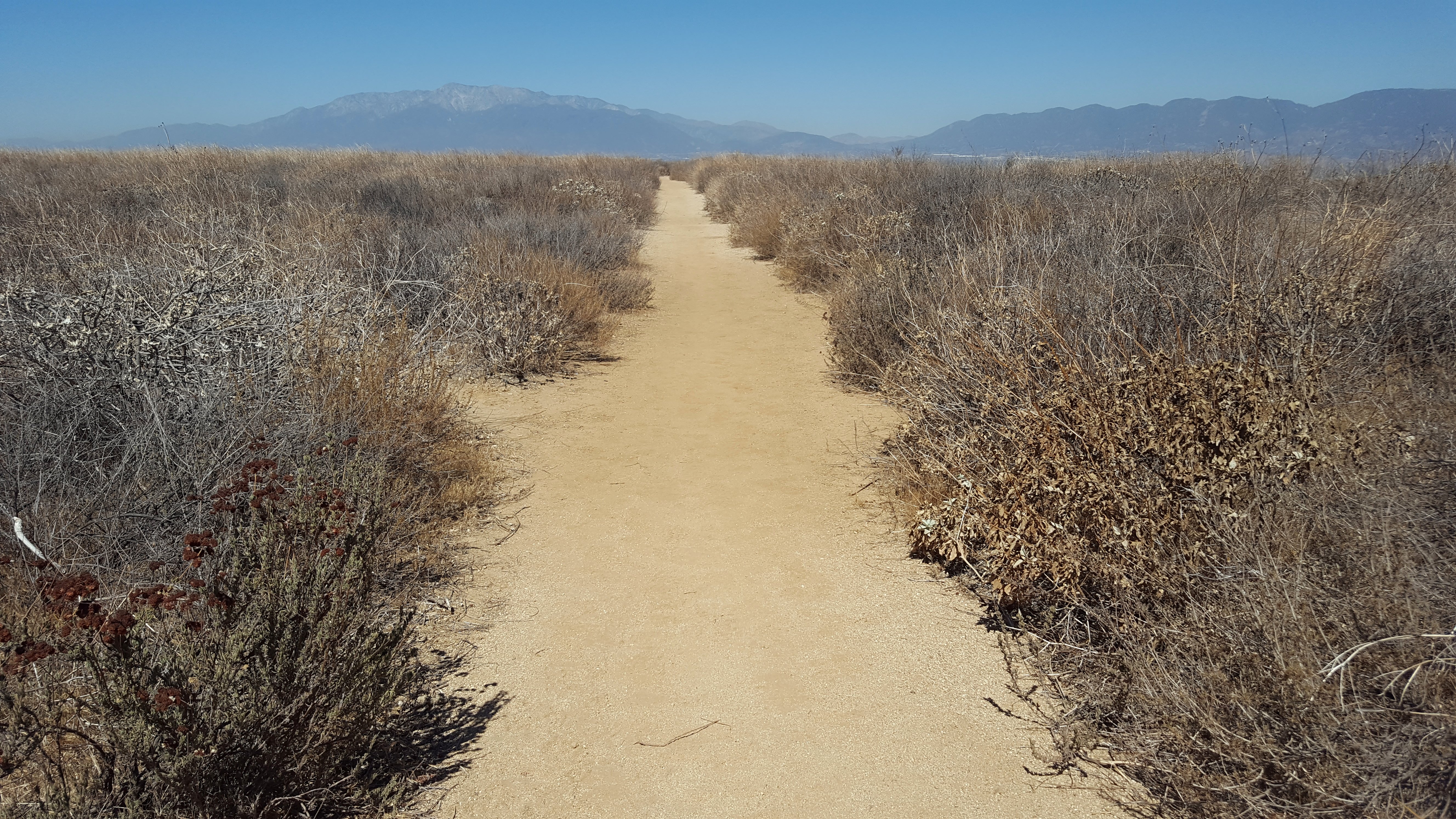
San Timoteo Nature Trail

UP 7492

Snaking Up Beaumont

Spring Valley

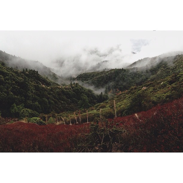
Mill Creek Canyon
Topographic Map of Jasmine St, Redlands, CA, USA
Find elevation by address:

Places near Jasmine St, Redlands, CA, USA:
1216 Vía Barcelona
1105 Country Pl
1350 Wabash Ave
Independence Ave, Redlands, CA, USA
Mentone
311 Wabash Ave
125 Amber Ct
Mill Creek Cattle Company ~ Mill Creek Weddings
15 Dolores Ct
Redlands Municipal Airport
1365 Beryl Ave
1380 Beryl Ave
1675 Hamilton Court
206 S La Salle St
North Redlands
North Redlands
North Redlands
North Redlands
East Drive
1255 N University St
Recent Searches:
- Elevation of 6 Rue Jules Ferry, Beausoleil, France
- Elevation of Sattva Horizon, 4JC6+G9P, Vinayak Nagar, Kattigenahalli, Bengaluru, Karnataka, India
- Elevation of Great Brook Sports, Gold Star Hwy, Groton, CT, USA
- Elevation of 10 Mountain Laurels Dr, Nashua, NH, USA
- Elevation of 16 Gilboa Ln, Nashua, NH, USA
- Elevation of Laurel Rd, Townsend, TN, USA
- Elevation of 3 Nestling Wood Dr, Long Valley, NJ, USA
- Elevation of Ilungu, Tanzania
- Elevation of Yellow Springs Road, Yellow Springs Rd, Chester Springs, PA, USA
- Elevation of Rēzekne Municipality, Latvia