Elevation of Beryl Ave, Mentone, CA, USA

Location: United States > California > San Bernardino County > Mentone >

Longitude: -117.12932

Latitude: 34.0740263

Elevation: 517m / 1696feet

Barometric Pressure: 95KPa

Elevation Map:

elevation map of Beryl Ave, Mentone, CA, USA

Satellite Map:

Satellite map of Beryl Ave, Mentone, CA, USA

Related Photos:

california road street trees palms polaroid sx70 vanishingpoint row palm palmtrees 600 modified citrus oranges agriculture redlands pola polaroid600 groves lineout modded nofilter sunkist timezero landcamera builtin inlandempire polaroidsx70 sanbernardinocounty polaroid779 779 iso640 eyetwist sx70landcamera nond sx70lives sx70uses600or779 eyetwistkevinballuff northredlands
palm trees. north redlands, ca. 2011.
california camera signs postprocessed texture sign photoshop square concrete typography airport graphic eagle text letters norton sage bunker numbers signage type weathered airforce usaf processed vignette radar brac blockhouse typographic sanbernardino supersaturated inlandempire postprocessing reconaissance recon combatcamera lensblur secretrecipe digixpro eyetwist signaltonoise nortonafb prcssd eyetwistkevinballuff decomissionedairforcebase
prcssd. combat camera. san bernardino, ca. 2011.
california old food signs green texture vintage typography lights flickr neon grunge illumination rusty retro queens signage font grungy smugmug sanbernardino explored canon5dmarkii marcshurphotographycom marcshur
Queen's Fine Food
california trains casco redlands amtrakspecialprsgep30chpoochel
ATK 714E @ El Casco
grass tom landscape countryside farm scenic hills valley canon5d morenovalley canon28135 grubbe tomgrubbe
Valley View
mountains grass landscape countryside spring farm scenic hills valley morenovalley nortonyounglovereserve tomgrubbe tomgrubbecom
Shooting Spot in the Hills
california longexposure sky grass clouds unitedstates 52weeks sigma1020mmf456 calimesa nd110 52weekproject
the view from here [7:52]
california flowers blue green floral field yellow vertical gold one flora sunflower behind rearview peggy yucaipa ©allrightsreserved ©peggyhughes
sunny rear view
sevenoaksdam santaanariver
Seven Oaks Dam
sevenoaksdam santaanariver
San Bernardino Valley
california up trains sp unionpacific southernpacific sd45 emd sd402 elcasco sd40 gp60 santimoteocanyon
Not Too Shabby
california snow cute clouds relax glasses healthy pretty view hiking flash dirt trail highland backpack workout fitness redlands fit trailmix mentone yucaipa sanbernardino tennisshoes canon50mm18 strobist canon550 zanjapeak canont2i
Original to these lands.
ranch field sunrise landscape farm pumpkins redlandsca oldwagon liveoakcanyon dgrahamphoto wildoakfarms
Live Oak Farms, Wagon 12-9-12
sky mountains clouds america morninglight stormclouds sanbernardinomountains panoramapoint dgrahamphoto uofredlandsr
Mountains from Panorama Point 11-18-12
california swimming canon outdoors socal 5d canon5d tcc swimmeet canondslr yucaipa kenszok theclaremontclub kszokphotography
Swim Lane
square squareformat lordkelvin iphoneography instagramapp uploaded:by=instagram foursquare:venue=4e1b18896284c069739b9c15
View from the patio. Good morning ya'll!!!
sunrise trails hills mansion canyons redlandsca livinglarge carriagetrail santimoteocanyon redlandsconservancy dgrahamphoto
Living Large, Canyon View, Redlands 5-19-13
flowers macro nature blooms mothernature daylillies gemsofnature dgrahamphoto
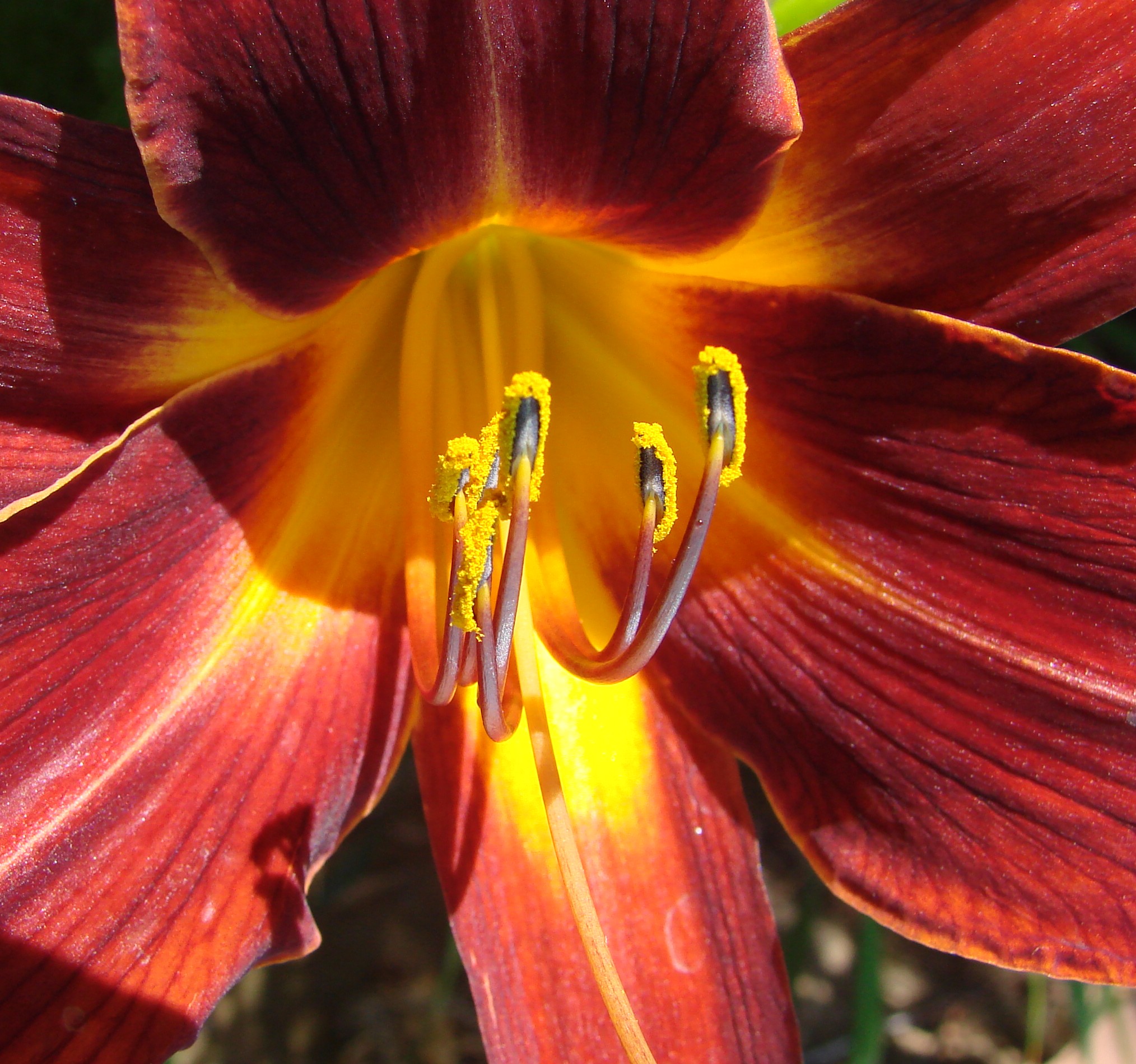
Daylillies (2) 7-7-12
california canon outdoors trains socal unionpacific canondslr locomotives railroads canon70200f4l inlandempire santimoteo alltrains sd70ace kenszok
Katy through San Timoteo
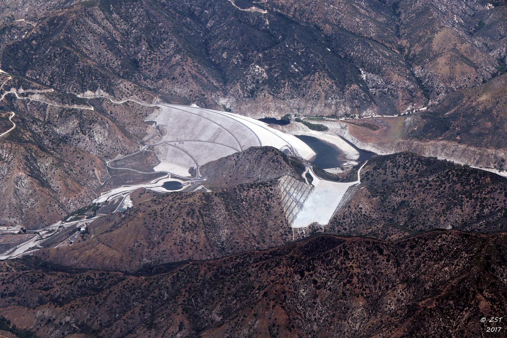
aerial aerialview california commercialflight dam flight governmentcanyon houstontolosangeles iahtolax river santaanariver sevenoaksdam united unitedairlines vacation vacationdestination windowseat zeesstof
7 Oaks Dam
winter snow storm mountains view views redlands bigbear redlandscalifornia inlandempire oakglen yucaipaca oakglencalifornia
The calm after the storm.
eyetwistkevinballuff mamiya 6mf 150mm kodak portra 160nc mamiya6mf mamiya150mmf45l kodakportra160nc ai aihollywood aicolor epsonv750pro filmtagger palms palmtrees row lined street redlands northredlands inlandempire sanbernardinocounty san bernardino ishootfilm analog analogue film emulsion mamiya6 square 6x6 120 rural california eyetwist vanishingpoint lineout geometric symmetry snowcapped mountains nevadastreet mediumformat mexicanfan tall rows narrow gone palm tree
palm trees. north redlands, ca. 2011.
Yucaipa California
green grass hills valley morenovalley
Spring Valley
california longexposure water river landscape photography nikon rocks stream unitedstates nationalforest mentone sanbernardinocounty ndfilter d7000
Mill Creek - Mentone, CA, USA
california usa architecture canon landscape photo victorian historic bedbreakfast 2009 redlands 1890 turnofthecentury 40d moreymansion photographersnaturecom davetoussaint davetoussaintcom americasfavoritevictorian
Morey Mansion of Redlands
california autumn sunset sky storm fall clouds landscape countryside scenic hills valley morenovalley nortonyounglovereserve
Sunset Valley II
california road bridge sky reflection wet water weather clouds landscape photography nikon unitedstates steel mentone partlycloudy sanbernardinocounty d7100
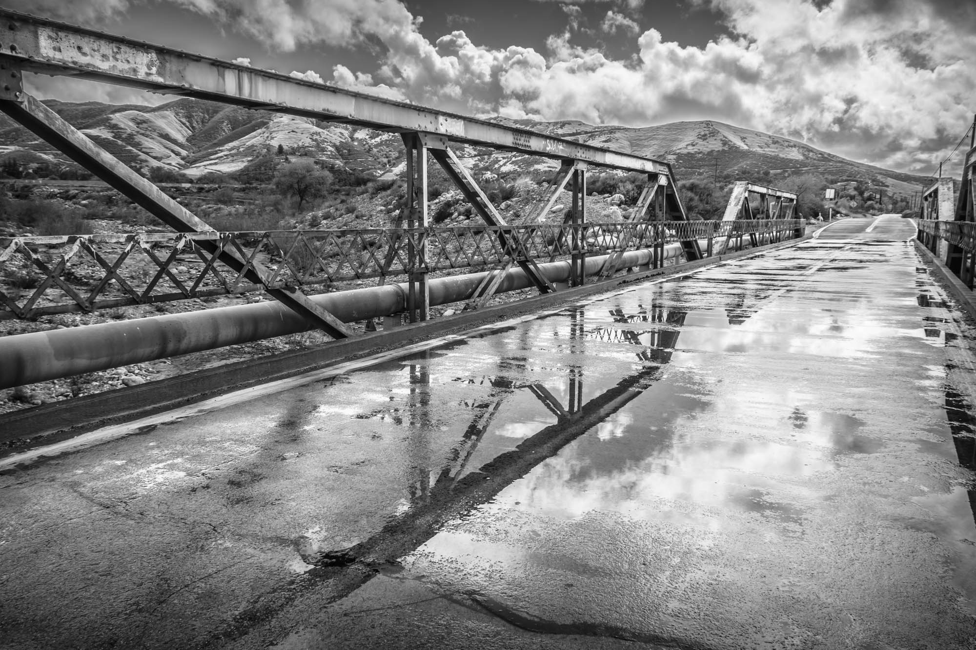
Garnet St. Bridge - Mentone, CA, USA
california railroad blackandwhite train landscape photography nikon unitedstates tracks engine railway unionpacific redlands sanbernardinocounty d90
Lights on for Safety - Redlands, CA, USA
San Timoteo Nature Trail
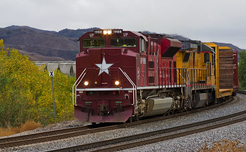
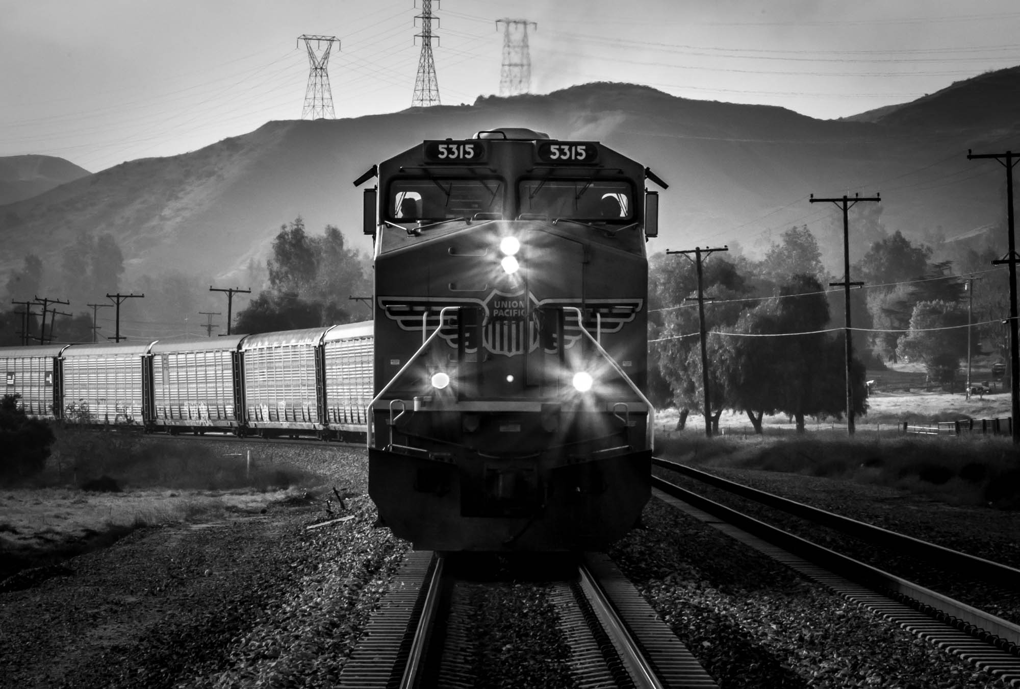
california up san pacific hill union el canyon casco yuma beaumont subdivision timoteo sd70ace c45accte zmqlc
UP 7492
sunset tom river landscape rocks stream dusk brook forestfalls underlight grubbe angelusoaks tomgrubbe
Twilight Rocks and Stream
el casco california unitedstates us beaumont hill up union pacific yuma subdivision sub train coal railroad locomotive socal southern
Snaking Up Beaumont
california news field fire natural smoke hill working burning powerlines burn disaster ash fighting journalism highway38 wildfire mentone yucaipa fireline
Yucaipa/Mentone Fire
millcreekcanyon sanbernardinonationalforest california photo digital spring canyon mountains mountsanbernardino
Mill Creek Canyon
trees sunset mountain storm clouds landscape stream dusk millcreek forestfalls tomgrubbe tomgrubbecom
Mill Creek Storm Sunset
square lofi squareformat iphoneography instagramapp uploaded:by=instagram foursquare:venue=500b1edae4b0ddfaa6ed263f
#sanbernardinomountains #mountains #runningsprings #hwy18
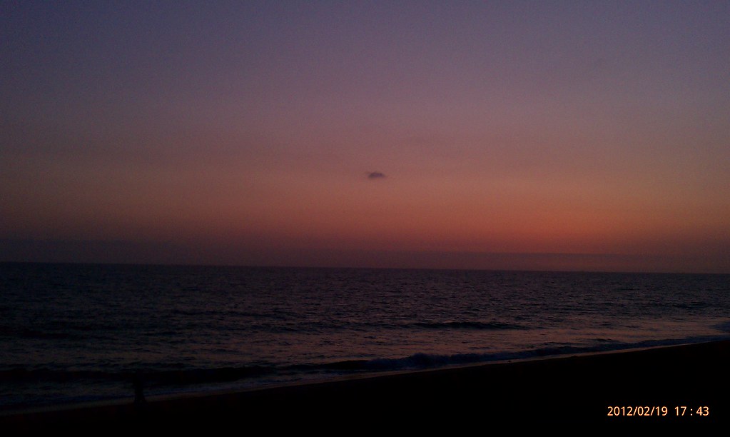
Sunsets are beautiful