Elevation of Independence Ave, Redlands, CA, USA
Location: United States > California > San Bernardino County > Redlands > North Redlands >
Longitude: -117.14655
Latitude: 34.060593
Elevation: 479m / 1572feet
Barometric Pressure: 96KPa
Elevation Map:
Satellite Map:
Related Photos:

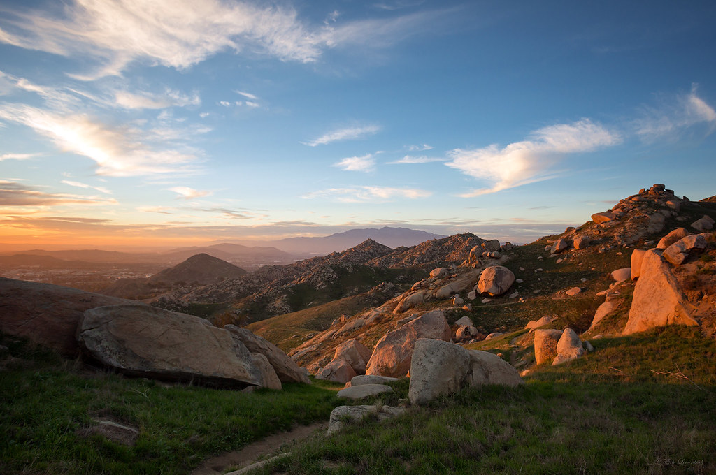
Sunset Valley I
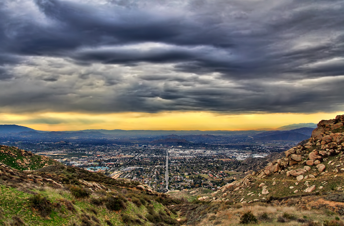
Storm over the Inland Empire

ATK 714E @ El Casco

Thanksgiving Sunset HDR

sunny rear view

air combat camera service. san bernardino, ca. 2011.
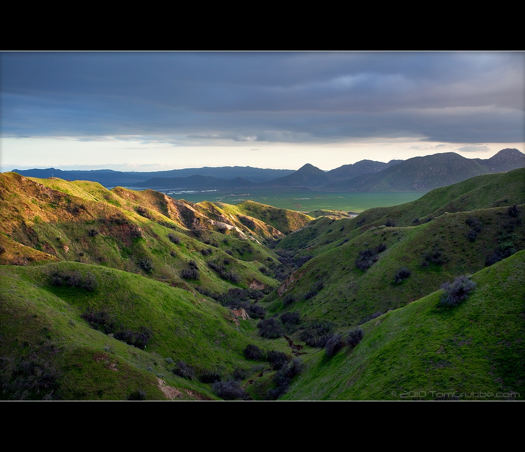
Valley View II

Back From the Desert
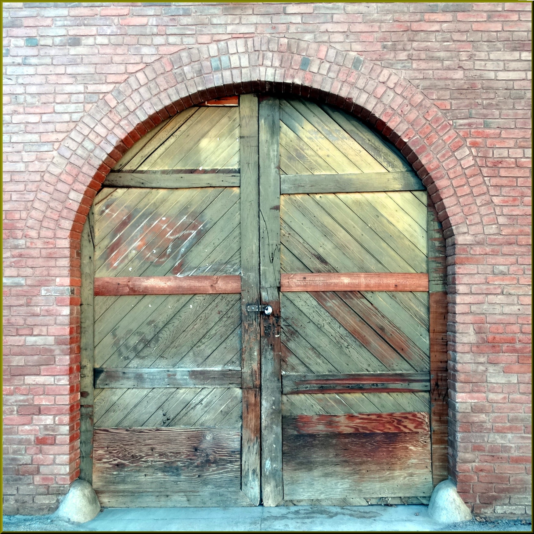
Arched Doorway, Redlands Alleys 10-27-13s

Metrolink, San Bernardino

A Mixture of Fog and Clouds

Queen's Fine Food
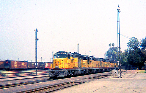
UP Westbound @ San Bernardino

palm trees. north redlands, ca. 2011.

Above the Clouds

Day 347/365: I know I'm going where the sun always shines (explored #328 on June 8, 2009)

palm trees. north redlands, ca. 2011.

prcssd. combat camera. san bernardino, ca. 2011.

Not Too Shabby

the view from here [7:52]

"Fall has always been my favorite season

UP 7492

UP 7939

Fire under a Full Moon II

Taking the Weekend Off
Rocky Slopes
Standing Guard

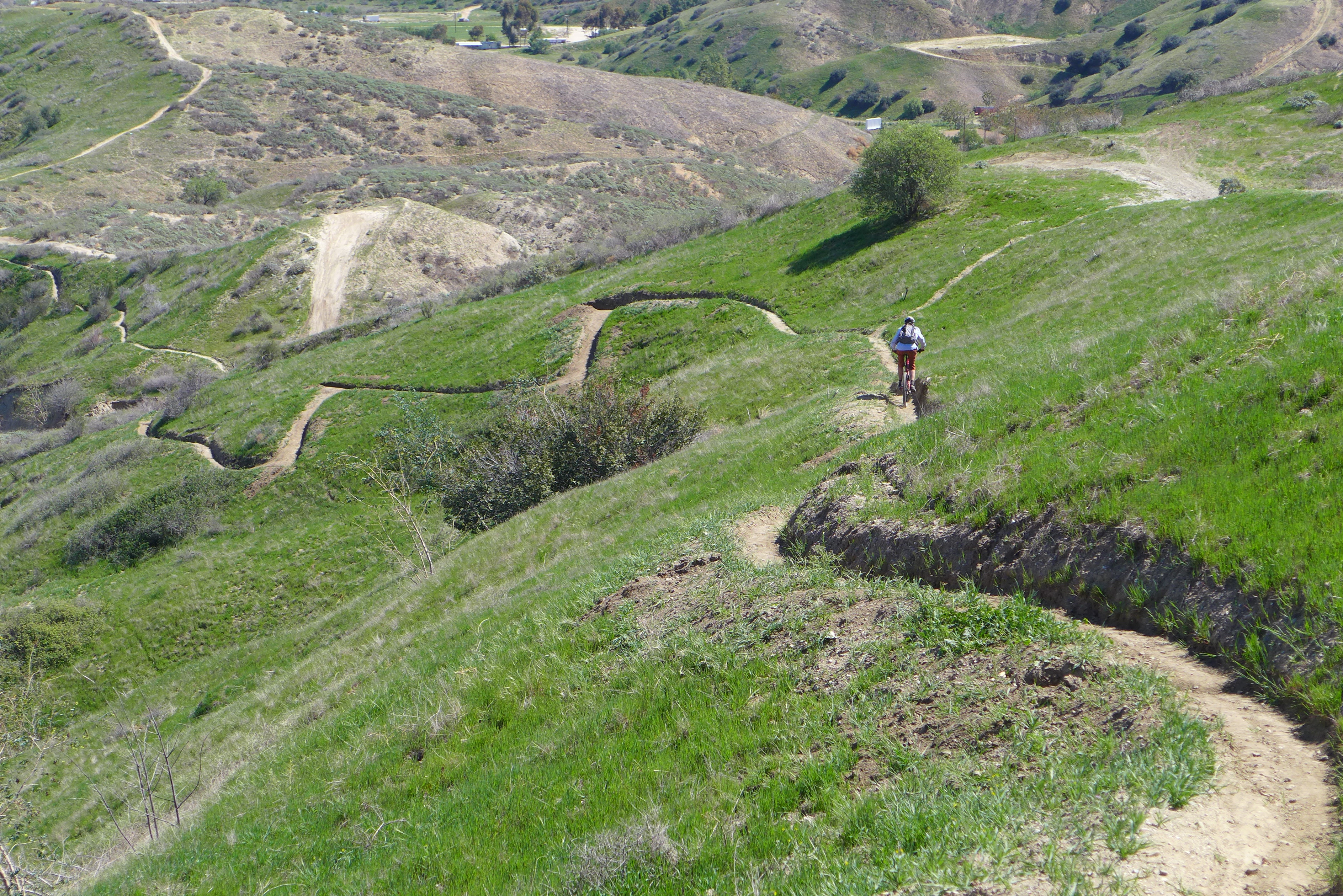
iPhone pano: Box Springs Hike

Garnet St. Bridge - Mentone, CA, USA
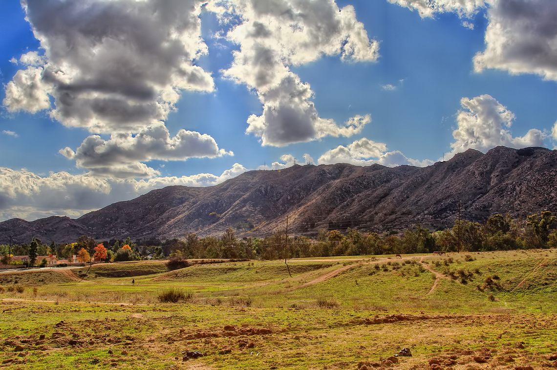
Clouds over Moreno Valley

Morey Mansion in 2010

#nofilter

San Bernardino city and National Forest

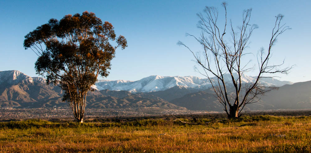
Tree and Field II
Strada Rossa 2015???

Yucaipa/Mentone Fire
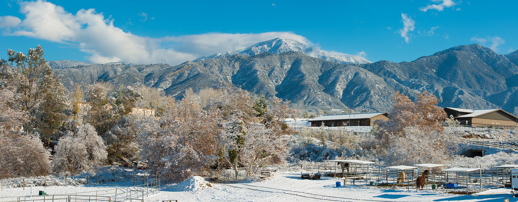
Yucaipa Morning Snow Dust
Topographic Map of Independence Ave, Redlands, CA, USA
Find elevation by address:

Places near Independence Ave, Redlands, CA, USA:
125 Amber Ct
1105 Country Pl
15 Dolores Ct
311 Wabash Ave
1216 Jasmine St
206 S La Salle St
1216 Vía Barcelona
Mentone
1350 Wabash Ave
1456 Pleasant View Dr
Mill Creek Cattle Company ~ Mill Creek Weddings
1032 Dracena Ct
East Drive
661 Fox Ct
North Redlands
North Redlands
North Redlands
North Redlands
1365 Beryl Ave
1675 Hamilton Court
Recent Searches:
- Elevation of Corso Fratelli Cairoli, 35, Macerata MC, Italy
- Elevation of Tallevast Rd, Sarasota, FL, USA
- Elevation of 4th St E, Sonoma, CA, USA
- Elevation of Black Hollow Rd, Pennsdale, PA, USA
- Elevation of Oakland Ave, Williamsport, PA, USA
- Elevation of Pedrógão Grande, Portugal
- Elevation of Klee Dr, Martinsburg, WV, USA
- Elevation of Via Roma, Pieranica CR, Italy
- Elevation of Tavkvetili Mountain, Georgia
- Elevation of Hartfords Bluff Cir, Mt Pleasant, SC, USA