Elevation of Vía Barcelona, Redlands, CA, USA

Location: United States > California > San Bernardino County > Redlands > North Redlands >

Longitude: -117.14120

Latitude: 34.0686712

Elevation: 489m / 1604feet

Barometric Pressure: 96KPa

Elevation Map:

elevation map of Vía Barcelona, Redlands, CA, USA

Satellite Map:

Satellite map of Vía Barcelona, Redlands, CA, USA

Related Photos:

california autumn sunset sky storm fall clouds landscape countryside scenic hills valley morenovalley nortonyounglovereserve
Sunset Valley I
california sky field grass clouds landscape countryside spring hills inlandempire morenovalley
Spring Valley
nikon san running springs d200 bernardino 2870mmf28d aplusphoto flickrlovers
A Mixture of Fog and Clouds
california road street trees palms polaroid sx70 vanishingpoint row palm palmtrees 600 modified citrus oranges agriculture redlands pola polaroid600 groves lineout modded nofilter sunkist timezero landcamera builtin inlandempire polaroidsx70 sanbernardinocounty polaroid779 779 iso640 eyetwist sx70landcamera nond sx70lives sx70uses600or779 eyetwistkevinballuff northredlands
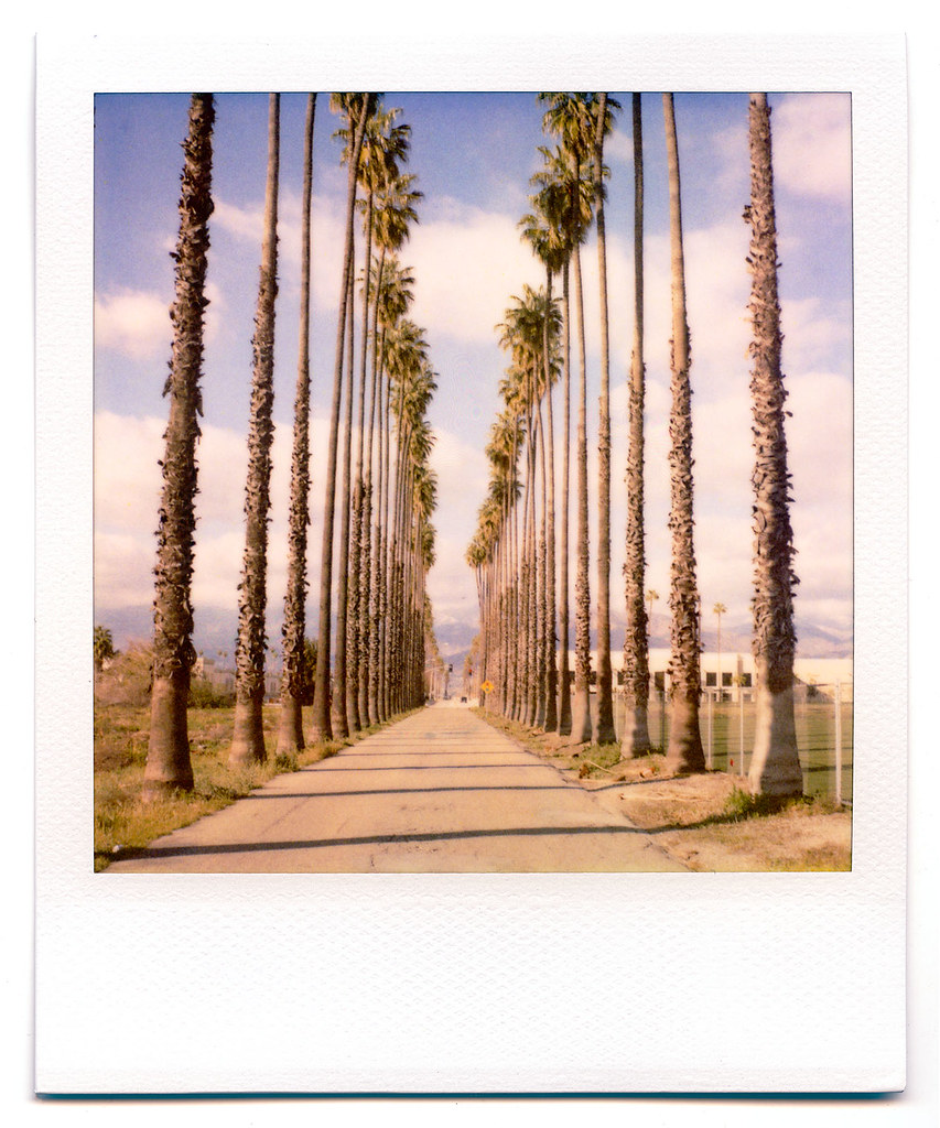
palm trees. north redlands, ca. 2011.
sevenoaksdam santaanariver
San Bernardino Valley
nikon san running springs d200 bernardino 2870mmf28d flickrlovers “nikonflickraward”
Above the Clouds
california camera signs postprocessed texture sign photoshop square concrete typography airport graphic eagle text letters norton sage bunker numbers signage type weathered airforce usaf processed vignette radar brac blockhouse typographic sanbernardino supersaturated inlandempire postprocessing reconaissance recon combatcamera lensblur secretrecipe digixpro eyetwist signaltonoise nortonafb prcssd eyetwistkevinballuff decomissionedairforcebase
prcssd. combat camera. san bernardino, ca. 2011.
aerial aerialview california commercialflight dam flight governmentcanyon houstontolosangeles iahtolax river santaanariver sevenoaksdam united unitedairlines vacation vacationdestination windowseat zeesstof
7 Oaks Dam
sevenoaksdam santaanariver
Santa Ana River Valley
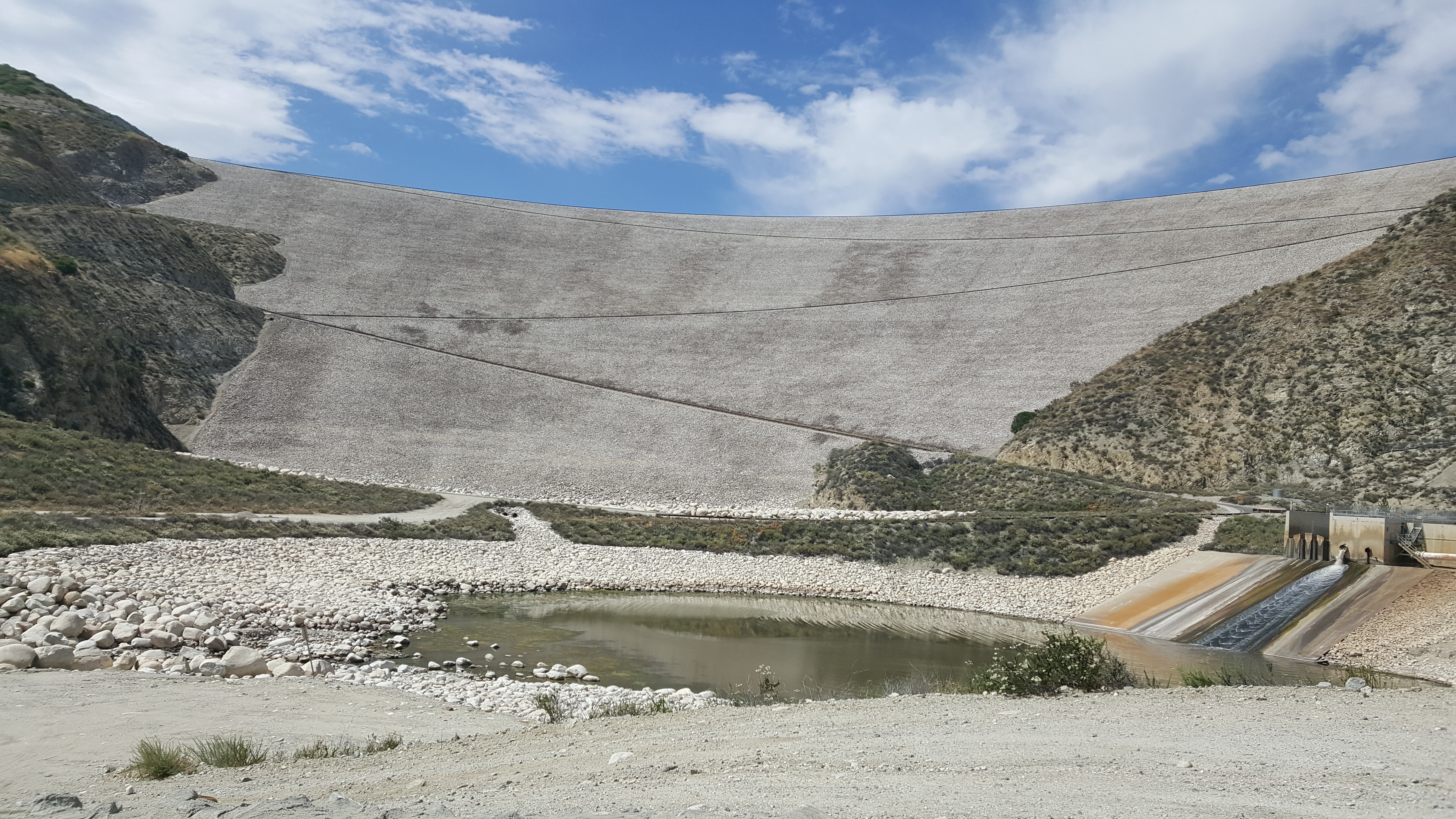
sevenoaksdam santaanariver
Seven Oaks Dam
california sky clouds outdoors view hiking hill bearmountain lomalinda
Southern California
Redlands, CA
california trains casco redlands amtrakspecialprsgep30chpoochel
ATK 714E @ El Casco
nikon san running springs d200 bernardino 2870mmf28d aplusphoto flickrlovers
Thanksgiving Sunset HDR
california up trains sp unionpacific southernpacific sd45 emd sd402 elcasco sd40 gp60 santimoteocanyon
Not Too Shabby
longexposure mountains grass landscape countryside spring farm scenic hills valley hoya morenovalley ndx400 nortonyounglovereserve tomgrubbe tomgrubbecom
Valley View II
Early Morning View
scott ride canyon trail socal jedi redlands rivendell riv
little people in the nexus
california travel lake mountains unitedstates hills day1 miscellaneous lakeperris morenovalley project365 colorefexpro lakeperrisstaterecreationarea lookingouttheairplanewindow lookingoutsideplanewindow nikond800e lookingoutairplanewindow flightaustolax citygridpattern
Lake Perris, Surrounded by Hills and Mountains
california signs postprocessed texture sign photoshop fence square typography airport unitedstates graphic text letters norton chain numbers signage link type airforce usaf processed vignette waterbomber brac smokeythebear typographic sanbernardino supersaturated inlandempire postprocessing forestservice usfs lensblur secretrecipe digixpro eyetwist signaltonoise firebomber nortonafb prcssd airtankerbase eyetwistkevinballuff decomissionedairforcebase
prcssd. air tanker base. san bernardino, ca. 2011.
grass tom landscape countryside farm scenic hills valley canon5d morenovalley canon28135 grubbe tomgrubbe
Valley View
el casco california unitedstates us beaumont hill up union pacific yuma subdivision sub train coal railroad locomotive socal southern
Snaking Up Beaumont
millcreekcanyon sanbernardinonationalforest california photo digital spring canyon mountains mountsanbernardino
Mill Creek Canyon
Lush Hills
Beaumont, California
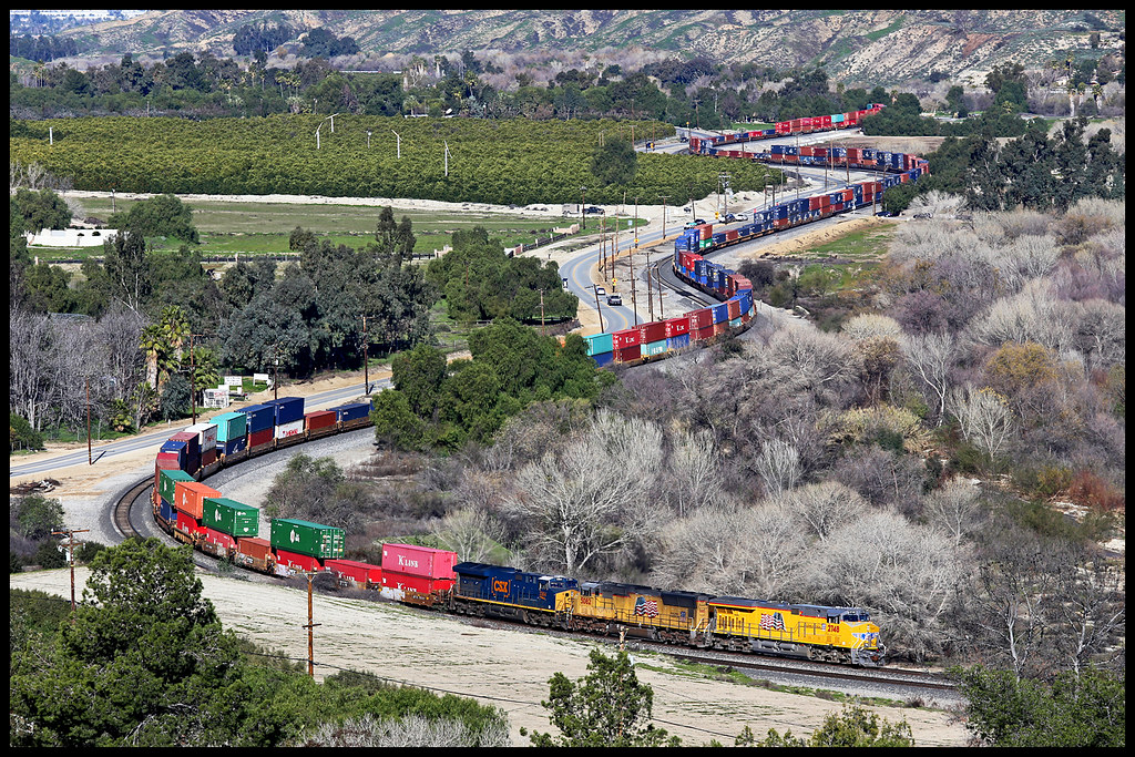
up union pacific sp southern sunset route yuma subdivision beaumont hill ordway san timoteo canyon gorgonio pass
UP 2748
inlandempire california usa landscapes sangabrielmountains mtbaldy snowinmountains redlands colton sanbernardino fontana ranchocucamonga dgrahamphoto
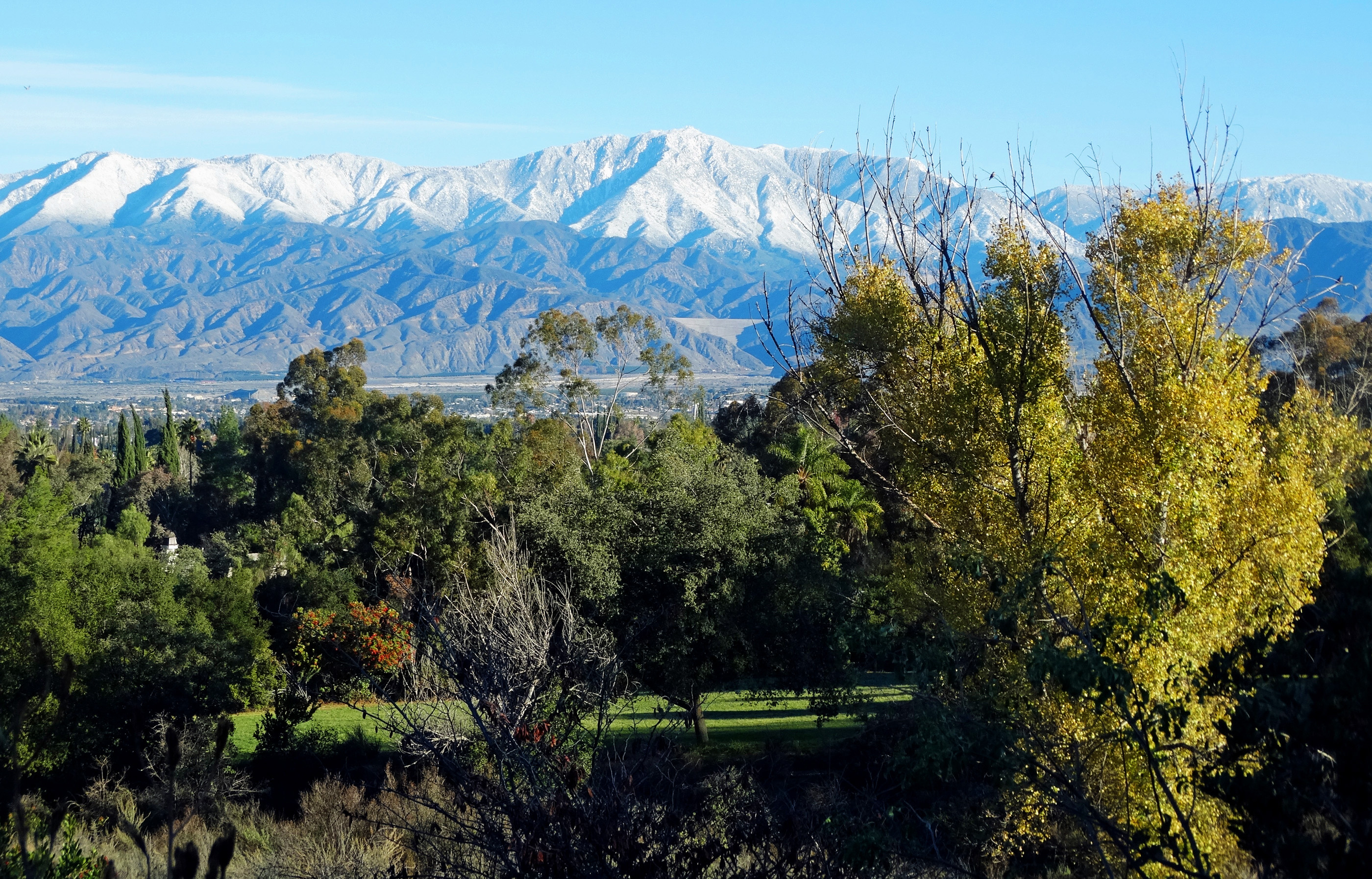
San Gabriel Mountains over Inland Empire, CA 2016 (In EXPLORE)
california up san pacific hill union el canyon casco yuma beaumont subdivision timoteo sd70ace c45accte zmqlc
UP 7492
field farm countryside gorge chasm ravine tumbleweeds spring grass storm clouds morenovalley california landscape
Lumonitious Landscape
redlandsca snow mountains dgrahamphoto usa landscapes sangabrielmountains mtbaldy palmtrees orangegroves snowonmountains christmasmorning2016
Palms, Oranges and San Gabriel Mountains, CA Christmas 2016
california storm field grass clouds landscape countryside spring farm ravine gorge tumbleweeds chasm morenovalley
Spring Valley Gorge
spring grass hills clouds storm lakeperris morenovalley nortonyounglovereserve longexposure californialandscape
New Season
airtanker78 hemetryanairattackbase raab operafire highgrove californiadepartmentofforestryandfireprotection wildfire grummans2tracker s2t drop calfire firefighting airplane retardant smoke fire brushfire wildlandfire vegetationfire boxspringsmountain pigeonpass sunset google getty explore interesting interestingness cscreativecloud photoshop adobe topazlabs denoise inlandempire riversidecounty riverside socal southerncalifornia california ca usa nature travel landscape canon 80d photo photographersnaturecom photographer picture 2017 april davetoussaint
Last Drop
redlandsca snow mountains dgrahamphoto usa landscapes sanbernardinomountains
San Bernardino Mountains, Christmas 2016
california ca travel usa nature photoshop canon landscape photo interestingness interesting december day photographer cloudy picture explore socal adobe southerncalifornia adjust infocus inlandempire morenovalley boxsprings cs6 2013 denoise 60d topazlabs photographersnaturecom davetoussaint
Clouds over Moreno Valley
trees summer field fire destruction smoke flames hills burning ash highway38 wildfire naturaldisaster mentone yucaipa outofcontrol
Fireside, the Burning
green grass hills valley morenovalley
Spring Valley
airtanker76 hemetryanairattackbase raab operafire highgrove californiadepartmentofforestryandfireprotection wildfire grummans2tracker s2t drop calfire firefighting airplane retardant smoke fire brushfire wildlandfire vegetationfire boxspringsmountain pigeonpass google getty explore interesting interestingness cscreativecloud photoshop adobe topazlabs denoise inlandempire riversidecounty riverside socal southerncalifornia california ca usa nature travel landscape canon 80d photo photographersnaturecom photographer picture 2017 april davetoussaint
Coming in Hard
california autumn sunset sky storm fall clouds landscape countryside scenic hills valley morenovalley nortonyounglovereserve
Sunset Valley II
trains railroads unionpacific up sunsetroute santimoteocanyon locomotive emd sd70m
San Tim Sunset