Elevation of Redlands, CA, USA
Location: United States > California > San Bernardino County >
Longitude: -117.18253
Latitude: 34.0555693
Elevation: 414m / 1358feet
Barometric Pressure: 96KPa
Elevation Map:
Satellite Map:
Related Photos:
another view...
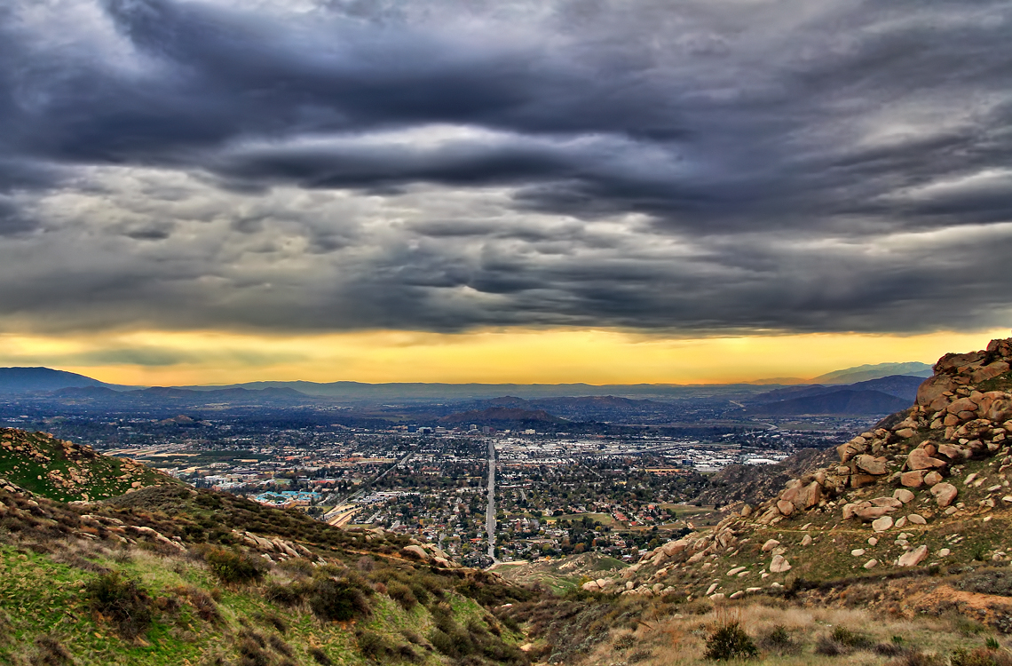
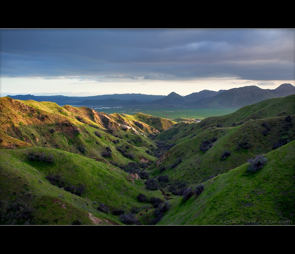
Storm over the Inland Empire

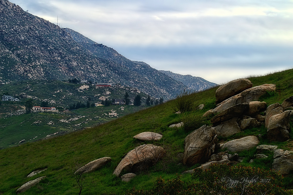
Shooting Spot in the Hills
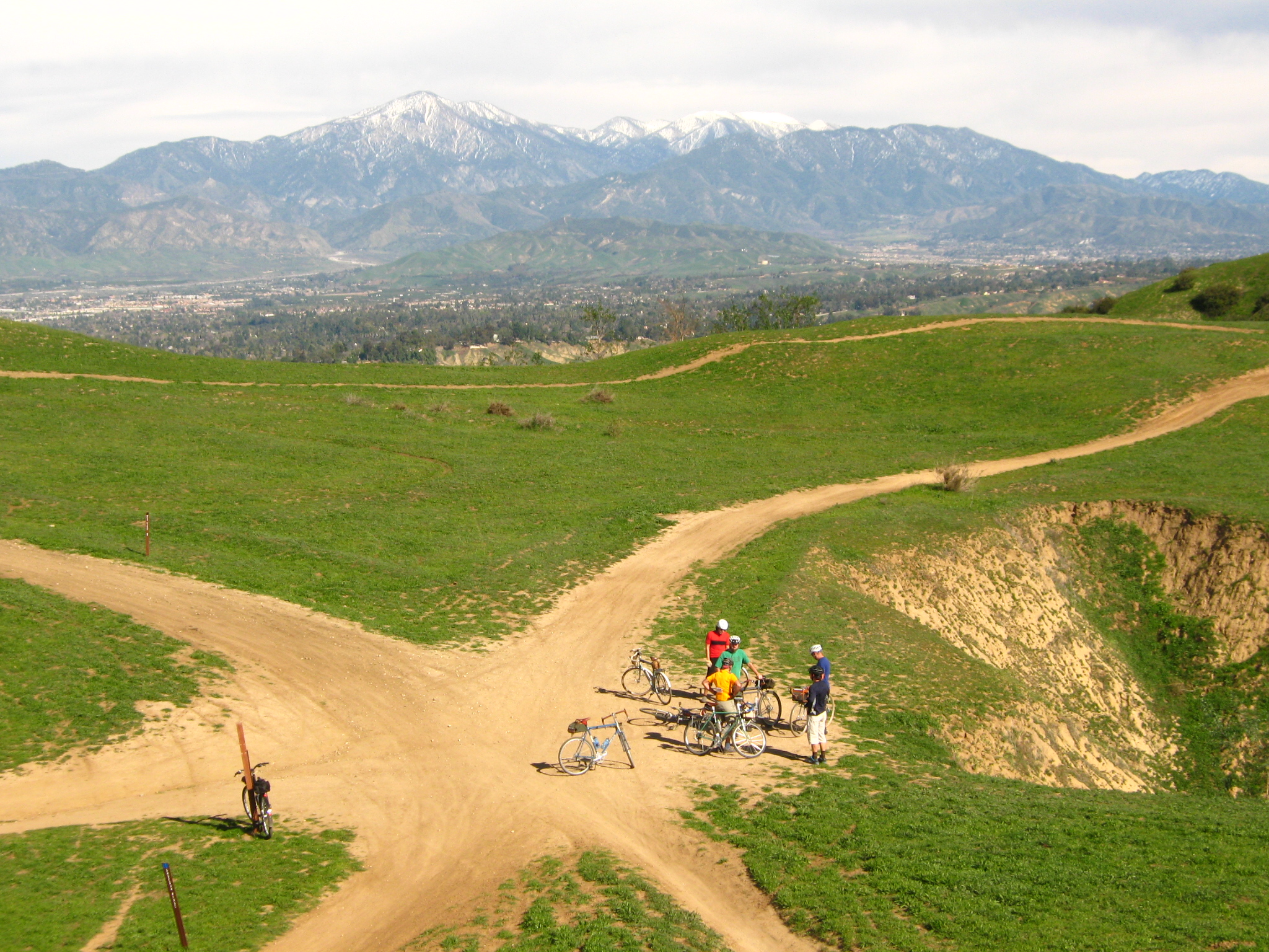
little people in the nexus

Awesome Iris

the view from here [7:52]
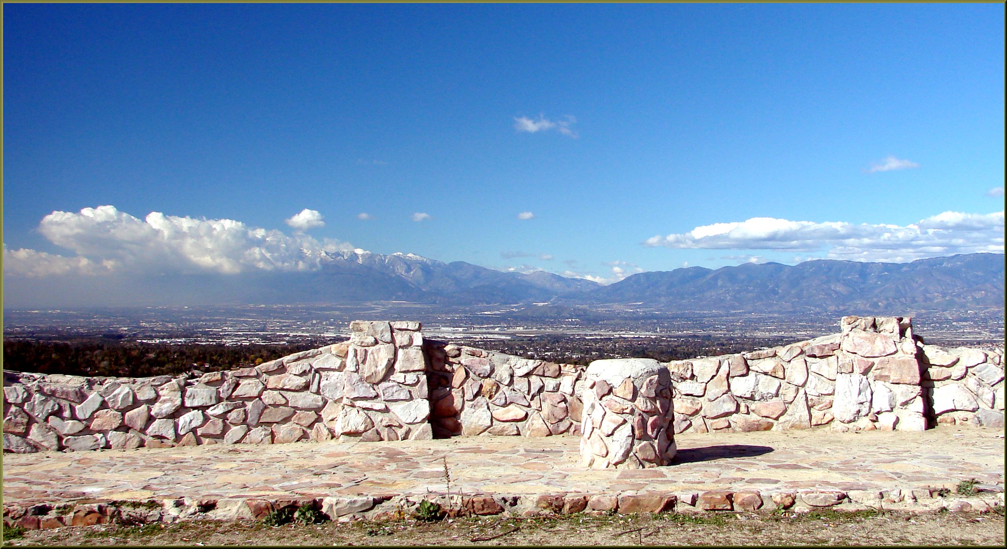
Mountains from Panorama Point 11-18-12

Mountains from Panorama Point 11-18-12

Study Model - Theatre Square
Panorama Point, Redlands, CA 12-27-12
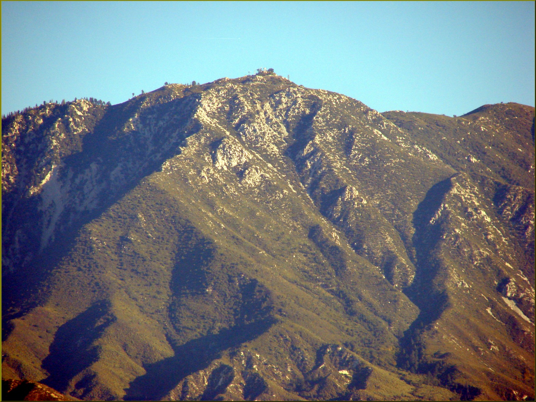
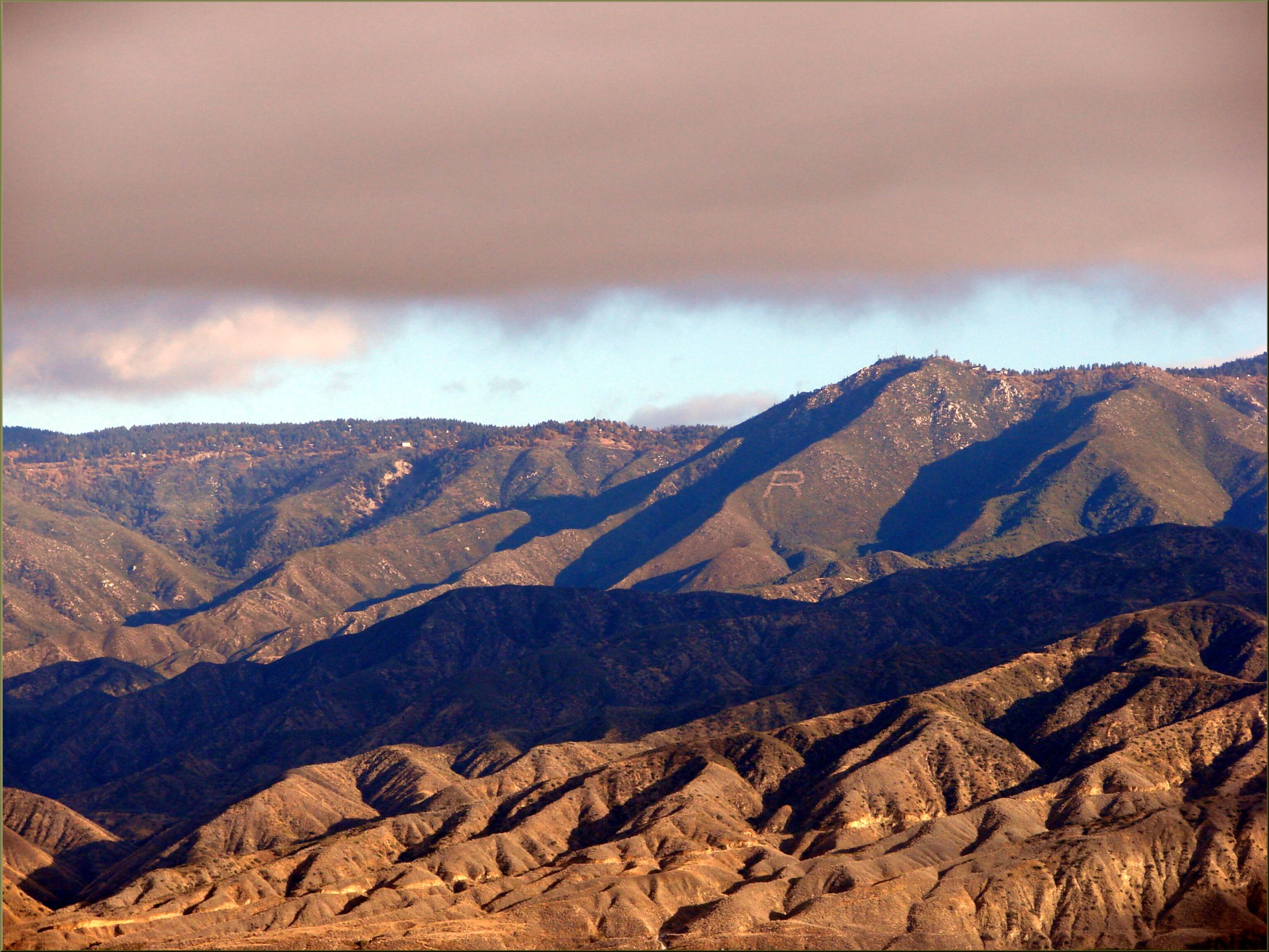
Keller Peak from Panorama Point 11-4-12

Sunset Valley I

Day 347/365: I know I'm going where the sun always shines (explored #328 on June 8, 2009)
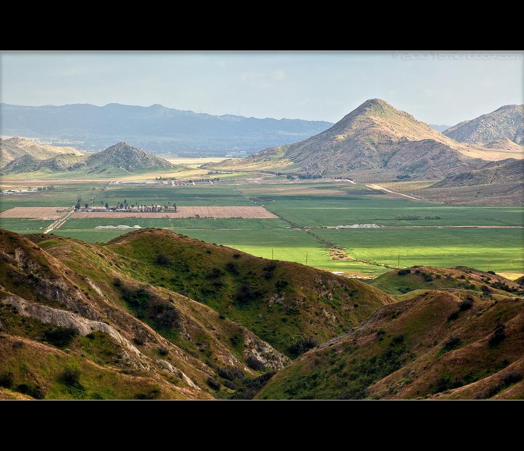
Valley View II
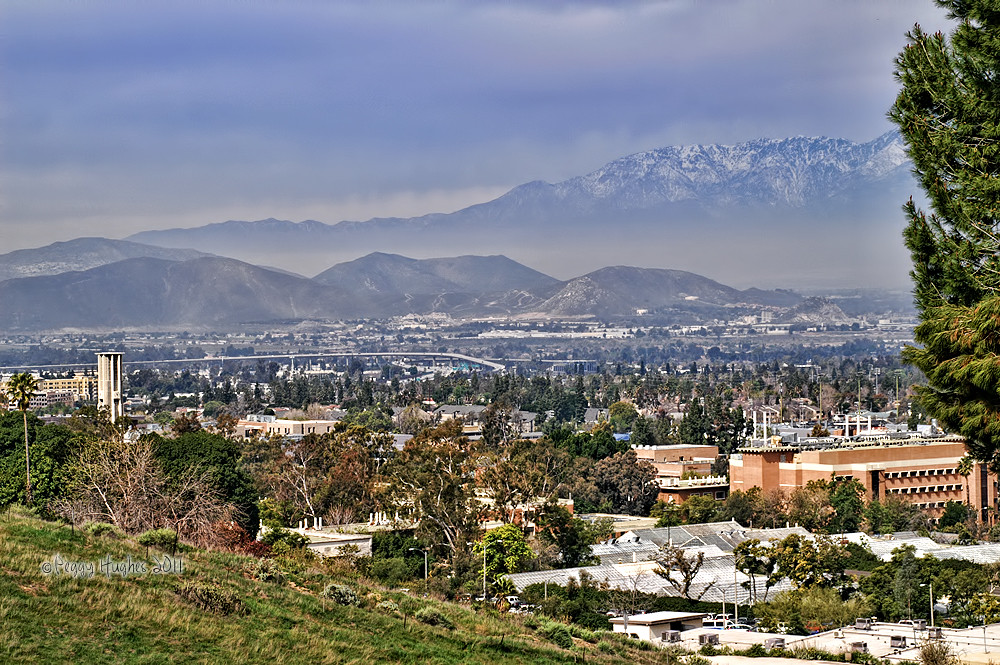
UC Riverside view

#sanbernadino #crestline view

Valley View
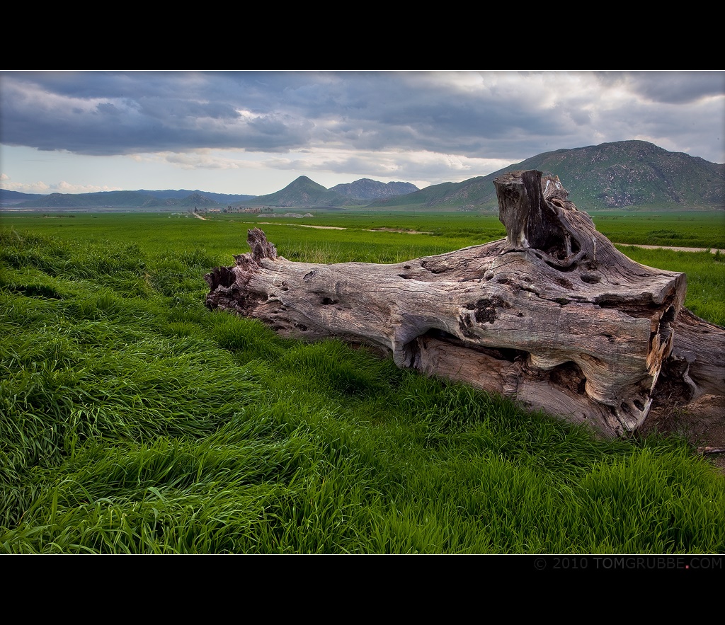
Log in the Grass

palm trees. north redlands, ca. 2011.
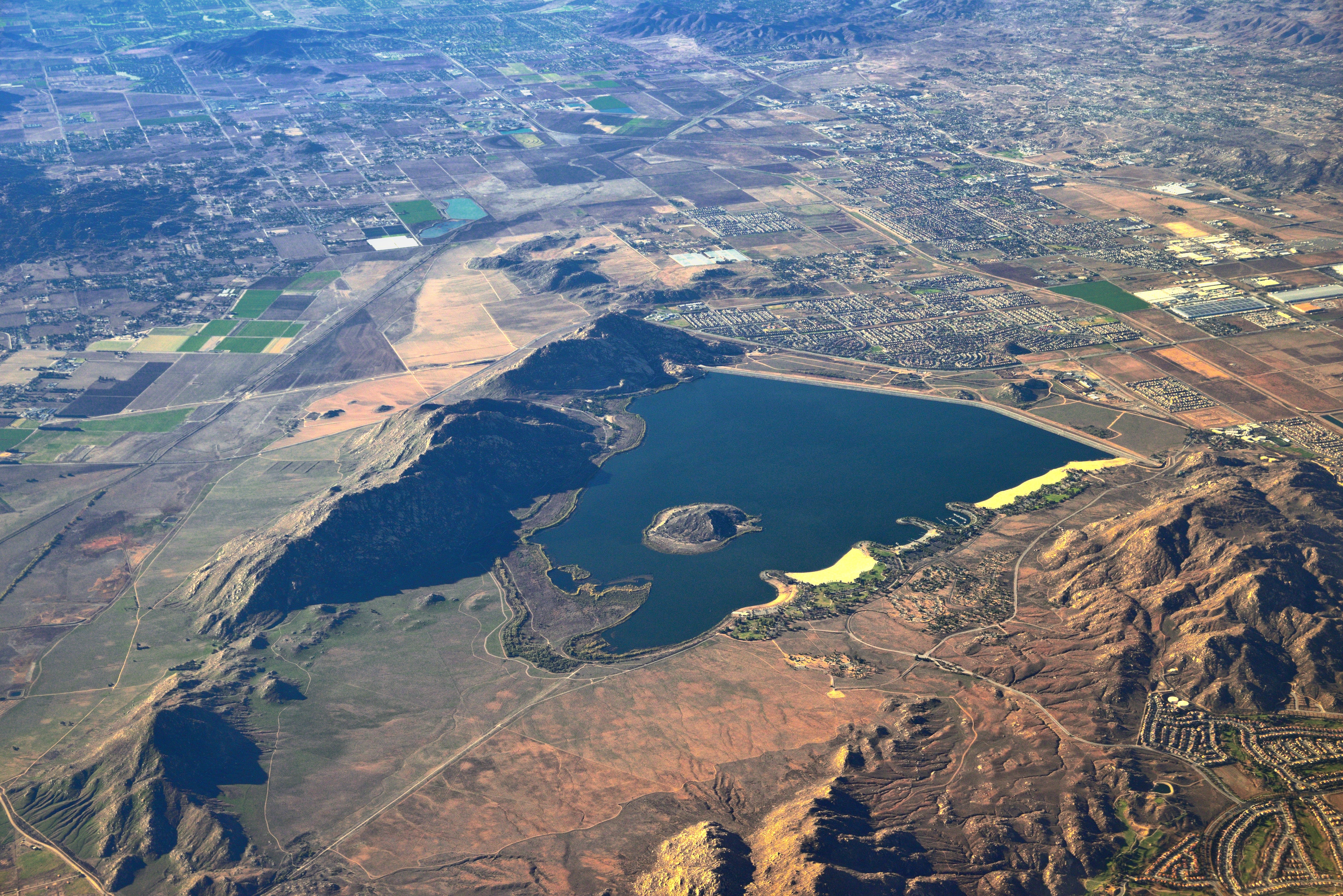
Lake Perris, Surrounded by Hills and Mountains
Valley View Up Close
Topographic Map of Redlands, CA, USA
Find elevation by address:

Places in Redlands, CA, USA:
Riverside-san Bernardino-ontario, Ca
North Redlands
Northwest Redlands
West Redlands
Delaware Ave, Redlands, CA, USA
North Redlands
North Redlands
North Redlands
San Timoteo Canyon Rd, Redlands, CA, USA
Nevada St, Redlands, CA, USA
Smiley Heights
Pilgrim Road
San Timoteo Canyon Road
West Crescent Avenue
Live Oak Canyon
Places near Redlands, CA, USA:
242 Cajon St
302 S Eureka St
434 Grant St
55 N Buena Vista St
528 Hibiscus Dr
Cajon Street
521 Bond St
727 Coronado Dr
1260 Magnolia Ave
325 Lakeside Ave
1316 Knoll Rd
1032 Dracena Ct
1228 Monterey St
West Crescent Avenue
110 Franklin Ave
South Redlands
Pacific Street
1408 Elizabeth Crest Dr
1356 La Loma Dr
Smiley Heights
Recent Searches:
- Elevation of Corso Fratelli Cairoli, 35, Macerata MC, Italy
- Elevation of Tallevast Rd, Sarasota, FL, USA
- Elevation of 4th St E, Sonoma, CA, USA
- Elevation of Black Hollow Rd, Pennsdale, PA, USA
- Elevation of Oakland Ave, Williamsport, PA, USA
- Elevation of Pedrógão Grande, Portugal
- Elevation of Klee Dr, Martinsburg, WV, USA
- Elevation of Via Roma, Pieranica CR, Italy
- Elevation of Tavkvetili Mountain, Georgia
- Elevation of Hartfords Bluff Cir, Mt Pleasant, SC, USA