Elevation of Country Pl, Redlands, CA, USA
Location: United States > California > San Bernardino County > Redlands > North Redlands >
Longitude: -117.14920
Latitude: 34.0668896
Elevation: 474m / 1555feet
Barometric Pressure: 96KPa
Elevation Map:
Satellite Map:
Related Photos:

Thanksgiving Sunset HDR

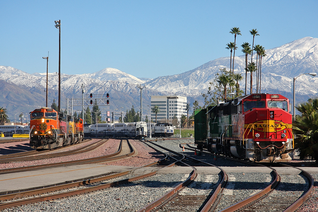
Santa Fe Main Leaving San Bernardino

Live Oak Farms, Wagon 12-9-12

Swim Lane

air combat camera service. san bernardino, ca. 2011.

Living Large, Canyon View, Redlands 5-19-13

Sunset Over Redlands Bowl 6-26-13
Winding Road up Morton Peak
Storm over the Inland Empire

palm trees. north redlands, ca. 2011.

prcssd. combat camera. san bernardino, ca. 2011.

Queen's Fine Food

ATK 714E @ El Casco

Valley View
Not So Beautiful Boosters

SD Trucks In The Shops Over The Pit

Shooting Spot in the Hills

the view from here [7:52]

sunny rear view

San Bernardino Valley

Seven Oaks Dam

Snaking Up Beaumont

#sanbernardinomountains #mountains #runningsprings #hwy18

Tree and Field

Morey Mansion of Redlands

Sunset Valley II

Palm Springs - 2017

Garnet St. Bridge - Mentone, CA, USA
Beaumont, California
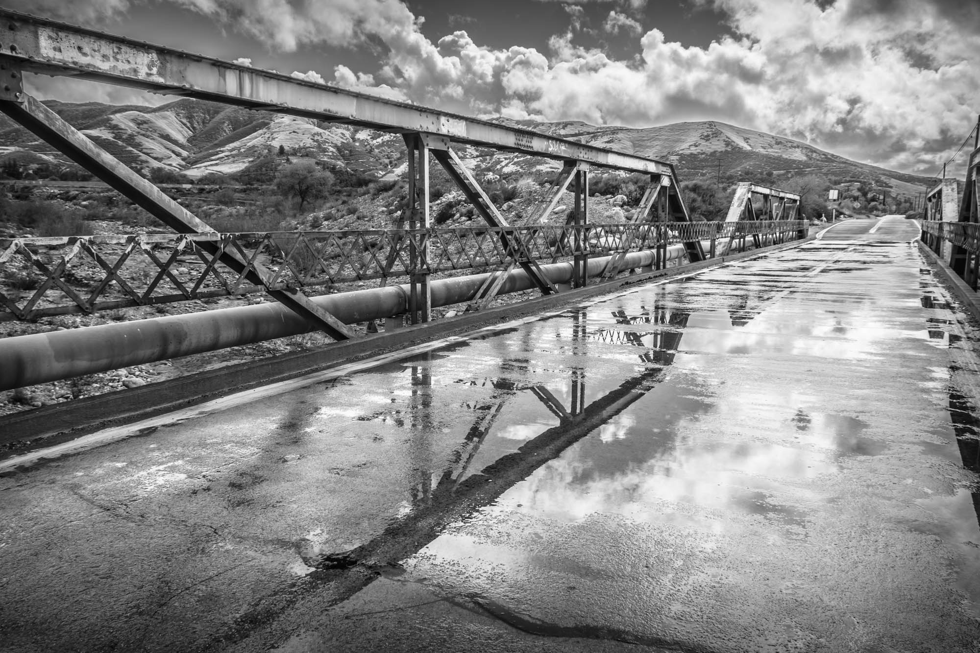
Garnet St. Bridge - Mentone, CA, USA

Social Gathering, Ford Park, Redlands, CA 8-12

Good Intentions
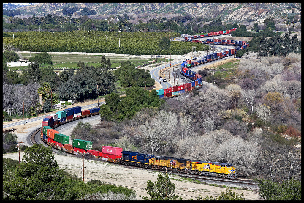
UP 2748
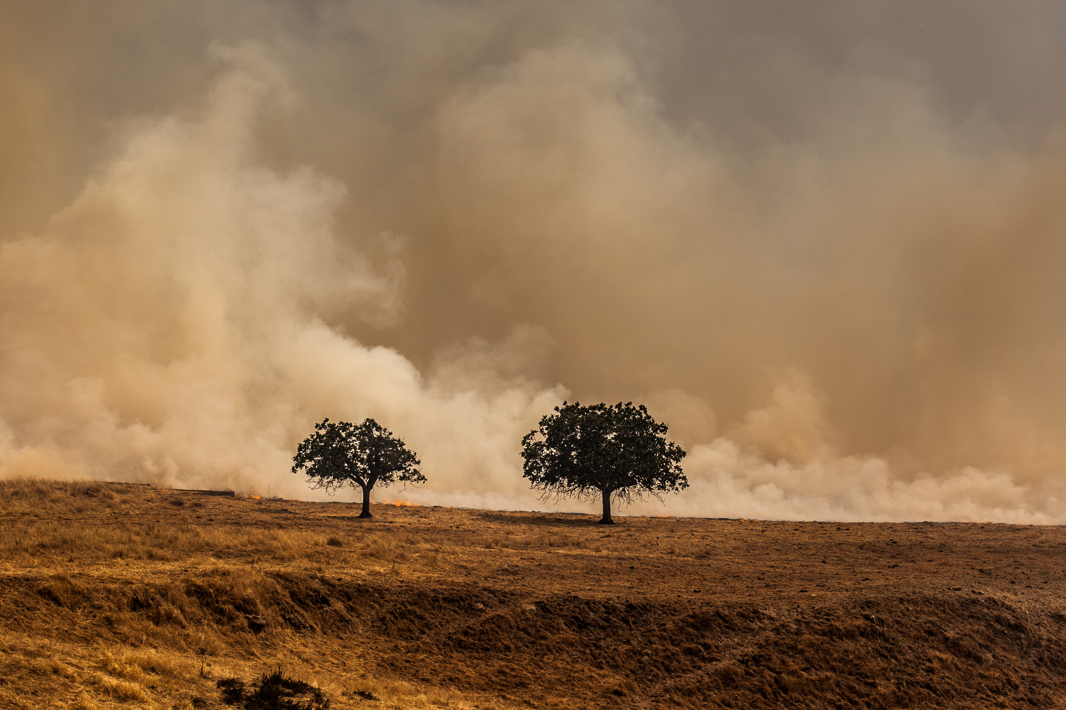
Fireside, the Burning
Lightpower at San Bernardino Depot

The Storm Starts

San Timoteo Nature Trail

UP 7492

Sunset Valley I

Spring Valley

Mill Creek Canyon
Topographic Map of Country Pl, Redlands, CA, USA
Find elevation by address:

Places near Country Pl, Redlands, CA, USA:
1216 Jasmine St
Independence Ave, Redlands, CA, USA
1216 Vía Barcelona
125 Amber Ct
1350 Wabash Ave
311 Wabash Ave
15 Dolores Ct
North Redlands
North Redlands
North Redlands
North Redlands
1675 Hamilton Court
Mentone
East Drive
206 S La Salle St
Redlands Municipal Airport
Mill Creek Cattle Company ~ Mill Creek Weddings
1255 N University St
1365 Beryl Ave
1032 Dracena Ct
Recent Searches:
- Elevation of Tenjo, Cundinamarca, Colombia
- Elevation of Côte-des-Neiges, Montreal, QC H4A 3J6, Canada
- Elevation of Bobcat Dr, Helena, MT, USA
- Elevation of Zu den Ihlowbergen, Althüttendorf, Germany
- Elevation of Badaber, Peshawar, Khyber Pakhtunkhwa, Pakistan
- Elevation of SE Heron Loop, Lincoln City, OR, USA
- Elevation of Slanický ostrov, 01 Námestovo, Slovakia
- Elevation of Spaceport America, Co Rd A, Truth or Consequences, NM, USA
- Elevation of Warwick, RI, USA
- Elevation of Fern Rd, Whitmore, CA, USA