Elevation of East Drive, East Dr, Redlands, CA, USA
Location: United States > California > San Bernardino County > Redlands > North Redlands >
Longitude: -117.16462
Latitude: 34.0627791
Elevation: 445m / 1460feet
Barometric Pressure: 96KPa
Elevation Map:
Satellite Map:
Related Photos:
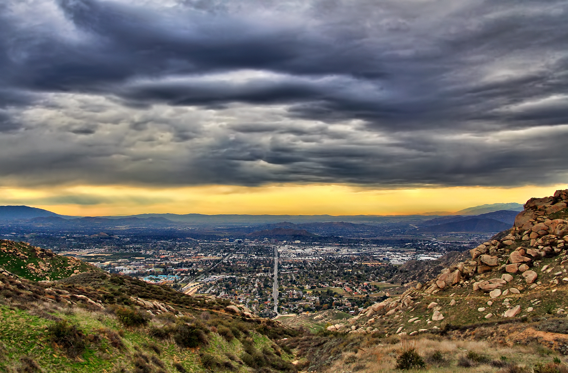
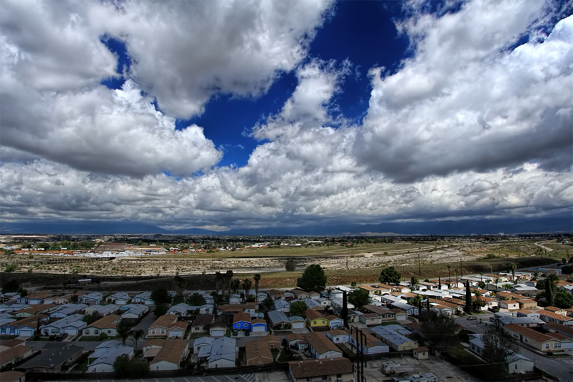
Storm over the Inland Empire

palm trees. north redlands, ca. 2011.

prcssd. combat camera. san bernardino, ca. 2011.

Queen's Fine Food

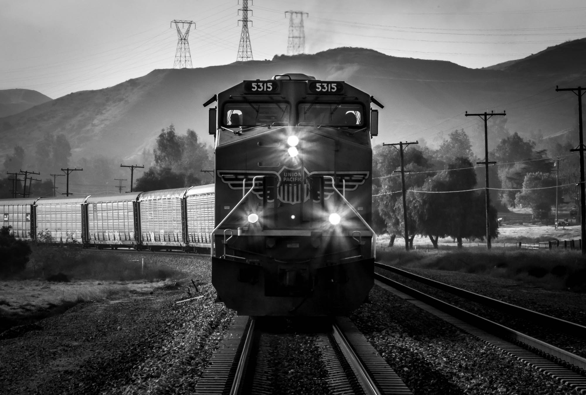
ATK 714E @ El Casco

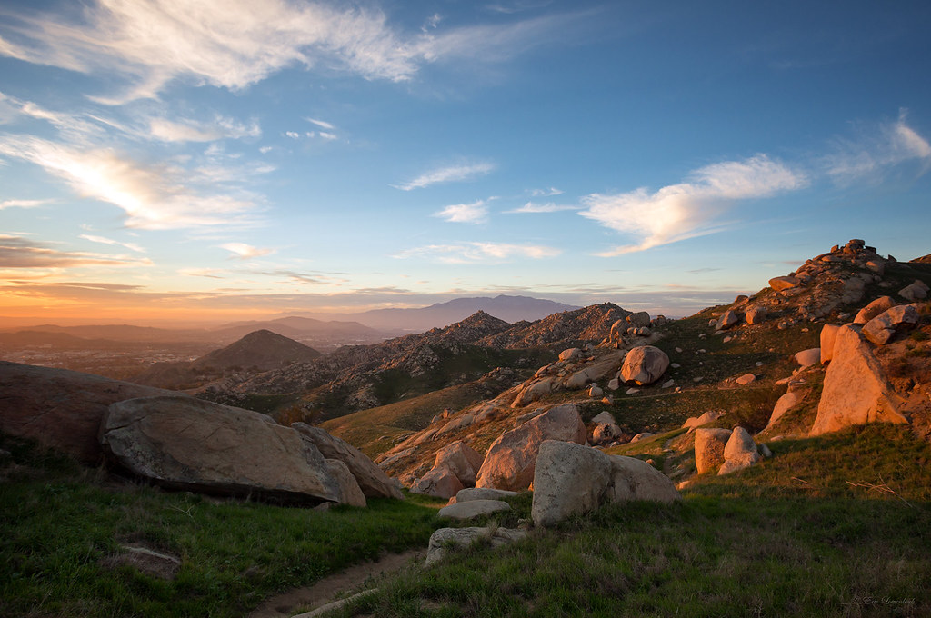
Valley View

Shooting Spot in the Hills

the view from here [7:52]

Seven Oaks Dam

sunny rear view

San Bernardino Valley

Not Too Shabby

What a view this morning!

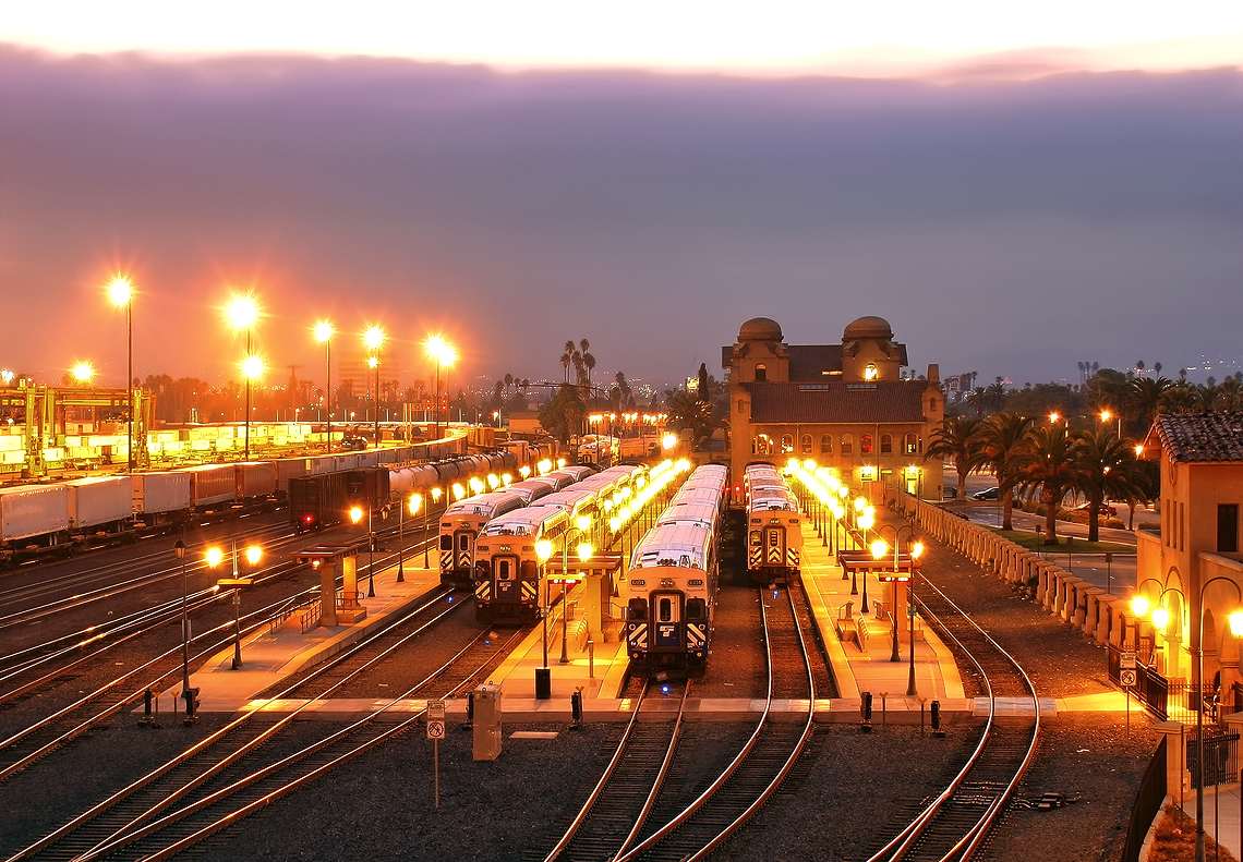
Santa Fe Main Leaving San Bernardino

palm trees. north redlands, ca. 2011.

Original to these lands.

Live Oak Farms, Wagon 12-9-12

Mountains from Panorama Point 11-18-12

Swim Lane

air combat camera service. san bernardino, ca. 2011.

Living Large, Canyon View, Redlands 5-19-13
Rocky Slopes

Morey Mansion of Redlands

palm trees. north redlands, ca. 2011.

Snaking Up Beaumont

Yucaipa/Mentone Fire

Mill Creek - Mentone, CA, USA
The Historic Santa Fe Depot in Downtown San Bernardino
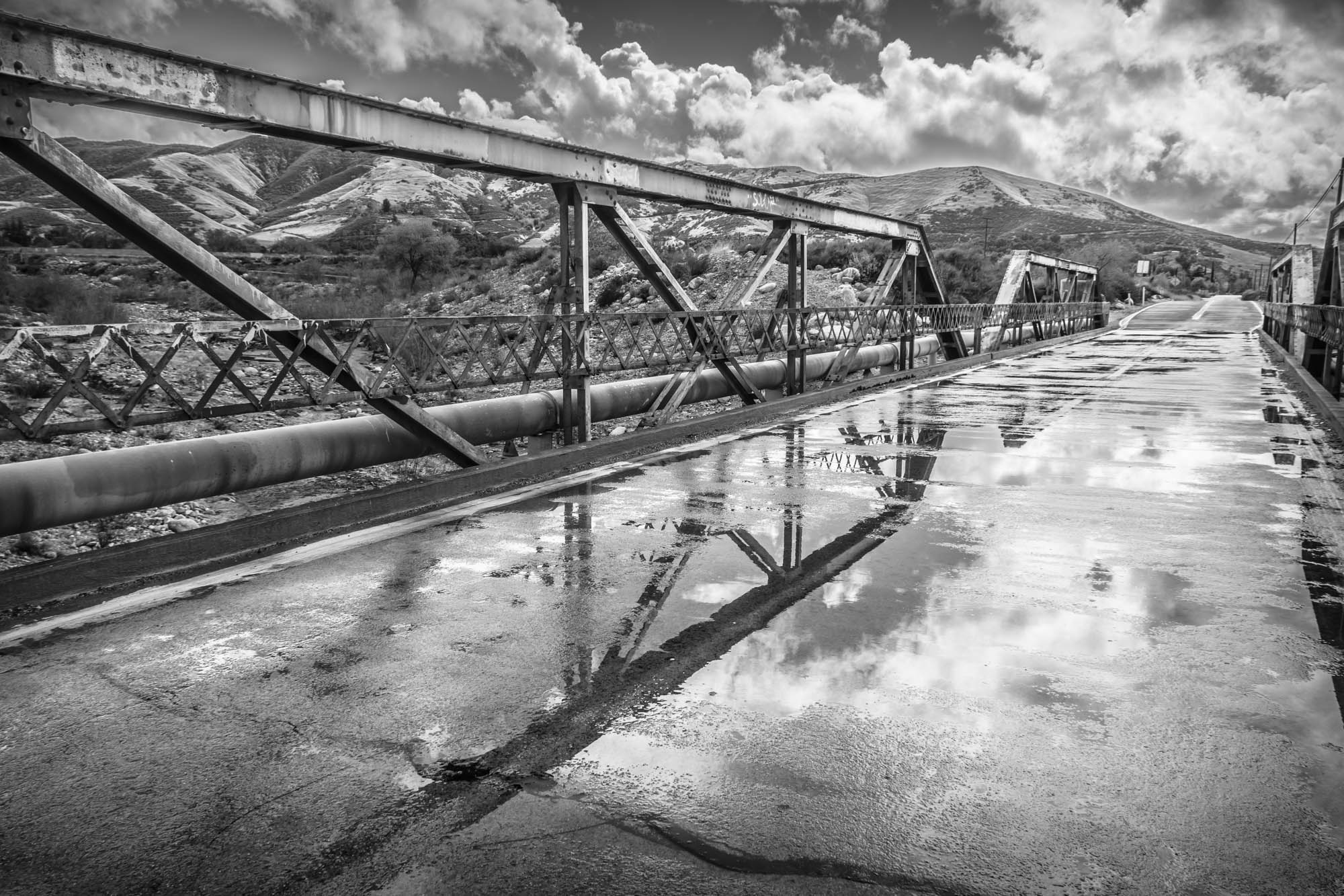
Garnet St. Bridge - Mentone, CA, USA

Good Intentions
Lights on for Safety - Redlands, CA, USA

写真 2017-12-09 14 48 17
Clouds over the San Bernardino Valley

UP 7492

San Timoteo Nature Trail

Mill Creek Canyon

Spring Valley

#sanbernardinomountains #mountains #runningsprings #hwy18
Topographic Map of East Drive, East Dr, Redlands, CA, USA
Find elevation by address:

Places near East Drive, East Dr, Redlands, CA, USA:
1255 N University St
North Redlands
North Redlands
North Redlands
North Redlands
1032 Dracena Ct
727 Coronado Dr
1562 Joanne St
528 Hibiscus Dr
1105 Country Pl
1675 Hamilton Court
Independence Ave, Redlands, CA, USA
125 Amber Ct
Delaware Ave, Redlands, CA, USA
242 Cajon St
Redlands
Cajon Street
1456 Pleasant View Dr
1216 Jasmine St
302 S Eureka St
Recent Searches:
- Elevation of Groblershoop, South Africa
- Elevation of Power Generation Enterprises | Industrial Diesel Generators, Oak Ave, Canyon Country, CA, USA
- Elevation of Chesaw Rd, Oroville, WA, USA
- Elevation of N, Mt Pleasant, UT, USA
- Elevation of 6 Rue Jules Ferry, Beausoleil, France
- Elevation of Sattva Horizon, 4JC6+G9P, Vinayak Nagar, Kattigenahalli, Bengaluru, Karnataka, India
- Elevation of Great Brook Sports, Gold Star Hwy, Groton, CT, USA
- Elevation of 10 Mountain Laurels Dr, Nashua, NH, USA
- Elevation of 16 Gilboa Ln, Nashua, NH, USA
- Elevation of Laurel Rd, Townsend, TN, USA