Elevation of Pleasant View Dr, Redlands, CA, USA

Location: United States > California > San Bernardino County > Redlands > Riverside-san Bernardino-ontario, Ca > South Redlands >

Longitude: -117.15288

Latitude: 34.0459794

Elevation: 505m / 1657feet

Barometric Pressure: 95KPa

Elevation Map:

elevation map of Pleasant View Dr, Redlands, CA, USA

Satellite Map:

Satellite map of Pleasant View Dr, Redlands, CA, USA

Related Photos:

morenovalley california unitedstates raven
Raven with Breakfast 2790
california road street trees palms polaroid sx70 vanishingpoint row palm palmtrees 600 modified citrus oranges agriculture redlands pola polaroid600 groves lineout modded nofilter sunkist timezero landcamera builtin inlandempire polaroidsx70 sanbernardinocounty polaroid779 779 iso640 eyetwist sx70landcamera nond sx70lives sx70uses600or779 eyetwistkevinballuff northredlands
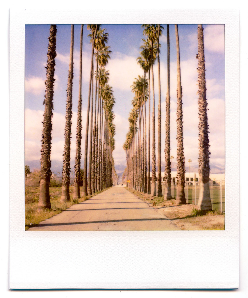
palm trees. north redlands, ca. 2011.
california old food signs green texture vintage typography lights flickr neon grunge illumination rusty retro queens signage font grungy smugmug sanbernardino explored canon5dmarkii marcshurphotographycom marcshur
Queen's Fine Food
california ca travel usa storm nature photoshop canon landscape photo interestingness interesting december day photographer riverside cs2 cloudy picture explore socal adobe southerncalifornia highdynamicrange blend adjust infocus inlandempire 2011 boxspringsmountain denoise 60d topazlabs photographersnaturecom davetoussaint photoengine mygearandme oloneo flickrstruereflection1
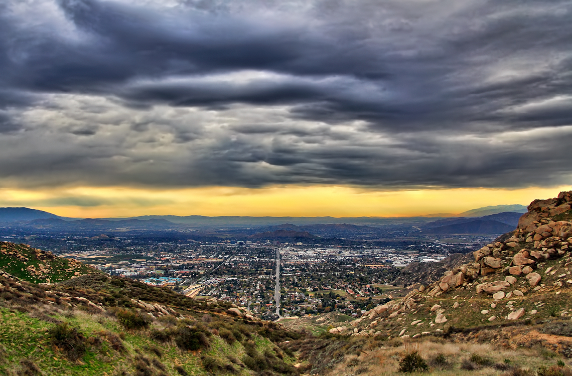
Storm over the Inland Empire
california camera signs postprocessed texture sign photoshop square concrete typography airport graphic eagle text letters norton sage bunker numbers signage type weathered airforce usaf processed vignette radar brac blockhouse typographic sanbernardino supersaturated inlandempire postprocessing reconaissance recon combatcamera lensblur secretrecipe digixpro eyetwist signaltonoise nortonafb prcssd eyetwistkevinballuff decomissionedairforcebase
prcssd. combat camera. san bernardino, ca. 2011.
square restaurant 1987 squareformat 1980s hefe sanbernardino iphoneography hospitalitylane instagramapp uploaded:by=instagram prayforsanbernardino foursquare:venue=4bc3813adce4eee13ca2719d
San Bernardino Dec. 1987 - Instagram view
california up trains sp unionpacific southernpacific sd45 emd sd402 elcasco sd40 gp60 santimoteocanyon
Not Too Shabby
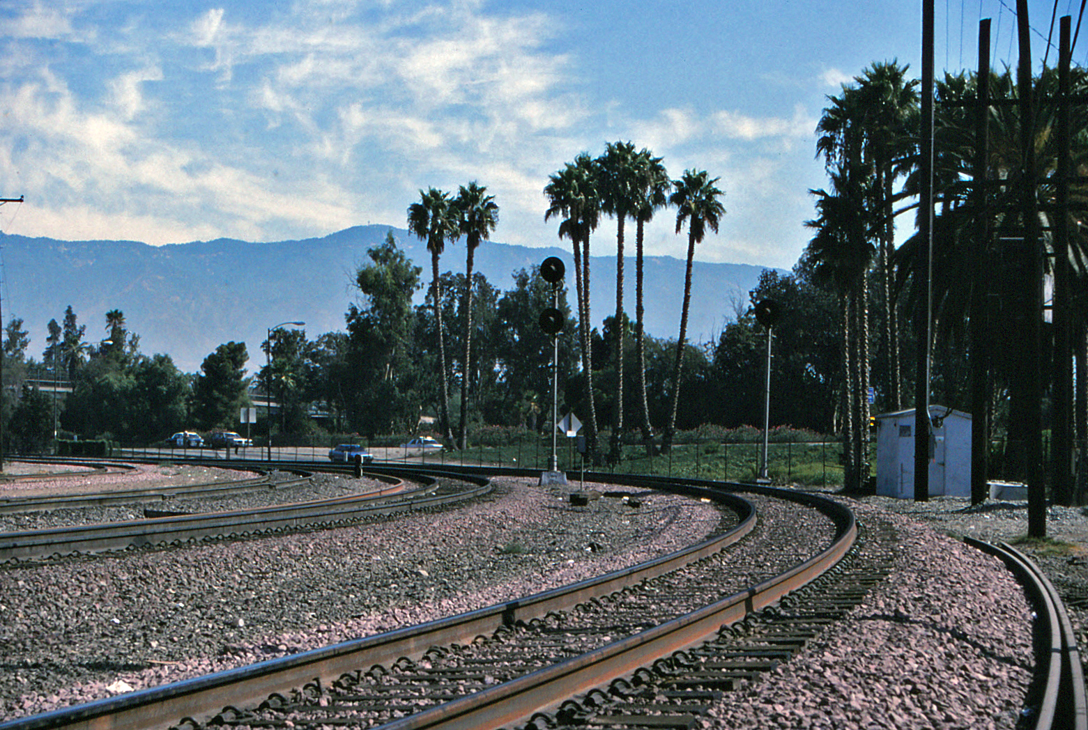
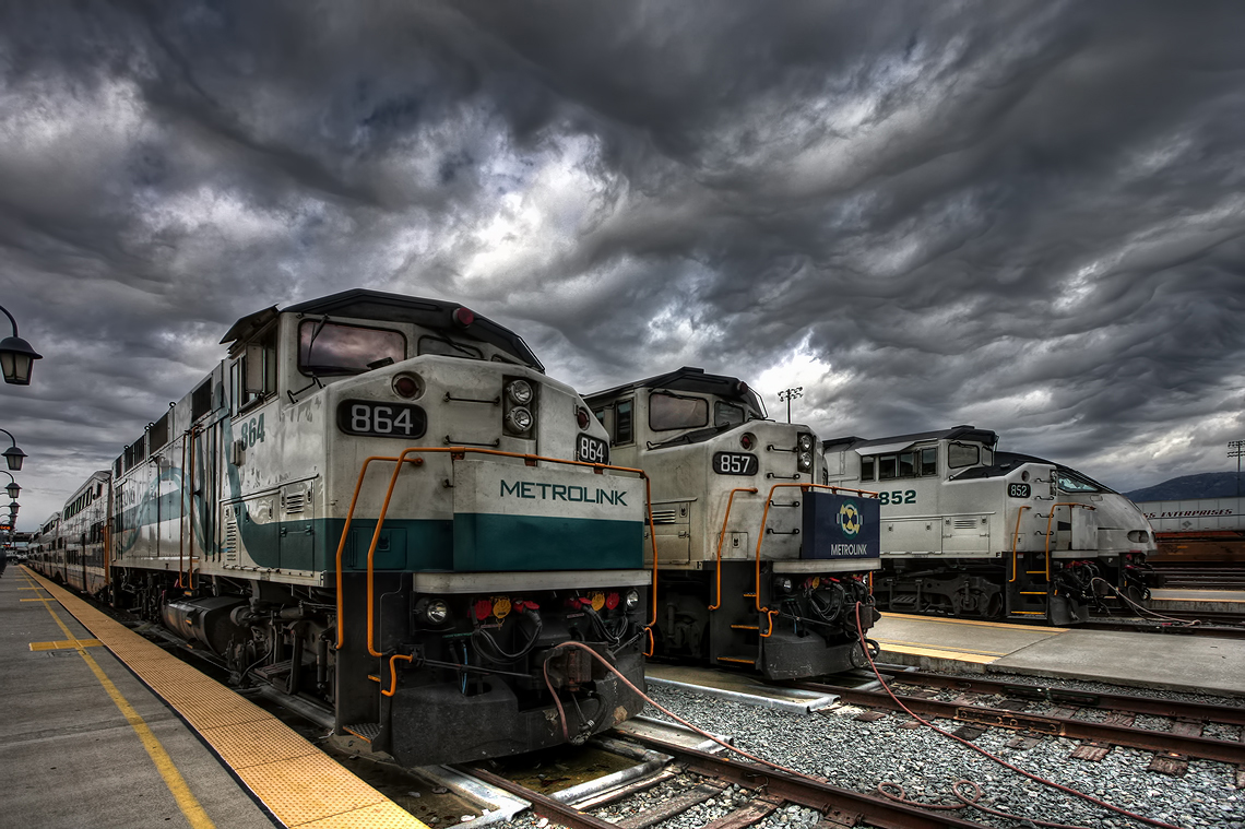
Santa Fe Main Leaving San Bernardino
california signs postprocessed texture sign photoshop fence square typography airport unitedstates graphic text letters norton chain numbers signage link type airforce usaf processed vignette waterbomber brac smokeythebear typographic sanbernardino supersaturated inlandempire postprocessing forestservice usfs lensblur secretrecipe digixpro eyetwist signaltonoise firebomber nortonafb prcssd airtankerbase eyetwistkevinballuff decomissionedairforcebase
prcssd. air tanker base. san bernardino, ca. 2011.
grass tom landscape countryside farm scenic hills valley canon5d morenovalley canon28135 grubbe tomgrubbe
Valley View
california railroad travel vacation usa santafe reflection nature canon landscape photo steel picture photographers depot bolts headlight topeka distillery bnsf flyover numberplate 2010 historicalsociety atchison eastbound sanbernardino burlingtonnorthernsantafe otw railroaddays dpu ayard 3751 40d nationaltrainday photographersnaturecom davetoussaint davetoussaintcom sbrhs topekasantaferailwayatsf3751
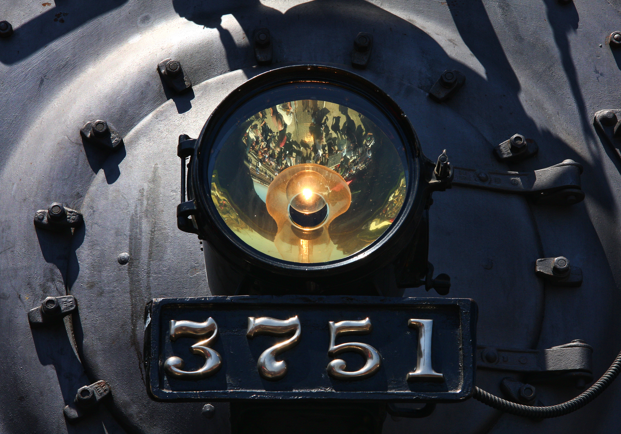
Steam Locomotive 3751 front end - note crowd reflection
california city railroad travel vacation usa santafe nature canon landscape photo costume mayor picture photographers depot topeka distillery bnsf bicentennial 2010 historicalsociety atchison eastbound sanbernardino 10mm burlingtonnorthernsantafe otw railroaddays dpu ayard 3751 40d topazlabs nationaltrainday topazadjust photographersnaturecom davetoussaint davetoussaintcom sbrhs patrickjmorris topekasantaferailwayatsf3751
San Bernardino Bicentennial Celebration
california trees light bw sun white black rain weather clouds high afternoon dynamic lightning storms range thunder redlands hdr yucaipa oakglen
The Storms of Late Summer
ca trains sp coachella santimoteo funits
Back From the Desert
above travel blue sky terrain cloud holiday mountains building green window nature field weather plane airplane landscape fly nokia losangeles high airport day ray looking view desert bright earth aircraft aviation flight wing lakes houston atmosphere sunny aerial hills airline rivers land layer phonecamera airliner stratosphere birdeye lumia1020 nokialumia1020
Moreno Valley, San Bernardino County, California
flowers macro nature blooms mothernature daylillies gemsofnature dgrahamphoto
Daylillies (2) 7-7-12
california san jacobs bernardino jacobsusa flickrandroidapp:filter=none
Night View
california summer music festival canon lens eos zoom live stage performance bowl musical sound 5d rogers ef redlands 28135mm hammerstein markiii yabbadabbadoo f3556 julyseptember 2013
Sound of Music at the Redlands Bowl...
california usa southwest padlock oldwood redlandsca olddoor inlandempire rustymetal oldpadlock dgrahamphoto
Padlocked, Redlands Alleys 10-27-13t
california autumn sunset sky storm fall clouds landscape countryside scenic hills valley morenovalley nortonyounglovereserve
Sunset Valley I
SD Trucks In The Shops Over The Pit
millcreekcanyon sanbernardinonationalforest california photo digital spring canyon mountains mountsanbernardino
Mill Creek Canyon
Beaumont, California
california ca travel usa nature weather canon landscape photo interestingness google interesting photographer cloudy smoke extreme picture july clarity fullmoon explore flame socal adobe monsoon getty southerncalifornia firefighting firefighter hdr brushfire adjust morenovalley 2015 wildlandfire denoise 60d topazlabs calfire vegetationfire photographersnaturecom davetoussaint riversidecountyfiredepartment photoshopcc merwinfire
Fire under a Full Moon
field farm countryside gorge chasm ravine tumbleweeds spring grass storm clouds morenovalley california landscape
Lumonitious Landscape
california ca travel usa nature photoshop canon landscape photo interestingness google interesting day photographer cloudy picture clarity explore socal adobe colton april getty southerncalifornia adjust infocus 2014 inlandempire cs6 sanbernardinovalley denoise 60d grandterrace topazlabs photographersnaturecom davetoussaint
Clouds over the San Bernardino Valley
spring grass hills clouds storm lakeperris morenovalley nortonyounglovereserve longexposure californialandscape
New Season
redlandsca snow mountains dgrahamphoto usa landscapes sangabrielmountains mtbaldy palmtrees orangegroves snowonmountains christmasmorning2016
Palms, Oranges and San Gabriel Mountains, CA Christmas 2016
california sky field grass clouds landscape countryside spring hills inlandempire morenovalley
Spring Valley
redlandsca snow mountains dgrahamphoto usa landscapes sanbernardinomountains
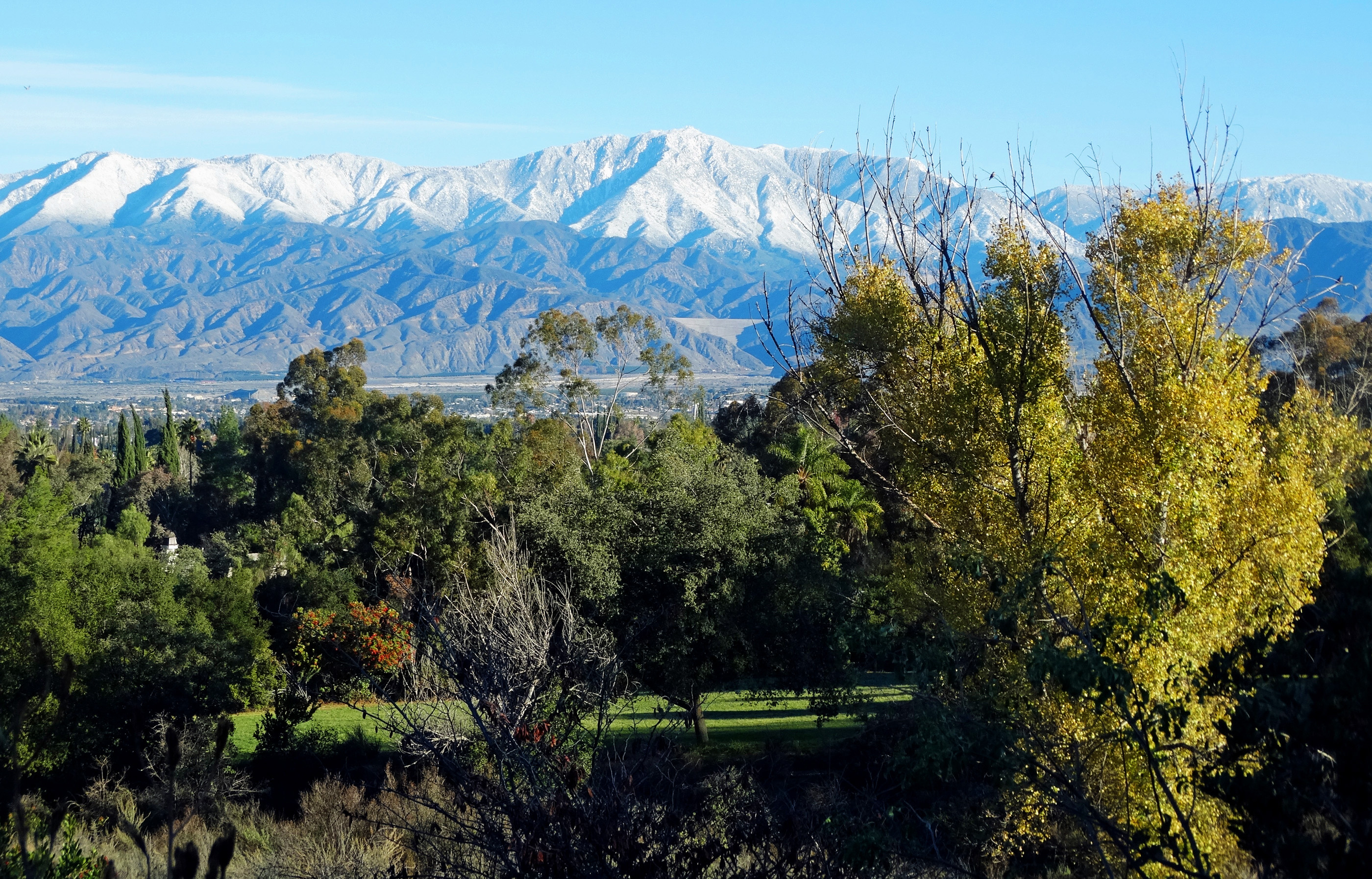
San Bernardino Mountains, Christmas 2016
airtanker78 hemetryanairattackbase raab operafire highgrove californiadepartmentofforestryandfireprotection wildfire grummans2tracker s2t drop calfire firefighting airplane retardant smoke fire brushfire wildlandfire vegetationfire boxspringsmountain pigeonpass sunset google getty explore interesting interestingness cscreativecloud photoshop adobe topazlabs denoise inlandempire riversidecounty riverside socal southerncalifornia california ca usa nature travel landscape canon 80d photo photographersnaturecom photographer picture 2017 april davetoussaint
Last Drop
california ca travel usa nature weather canon landscape photo interestingness google interesting photographer cloudy mark smoke iii extreme picture july clarity fullmoon explore flame socal adobe monsoon getty 5d southerncalifornia firefighting firefighter brushfire adjust morenovalley 2015 wildlandfire denoise topazlabs calfire vegetationfire photographersnaturecom davetoussaint riversidecountyfiredepartment photoshopcc merwinfire
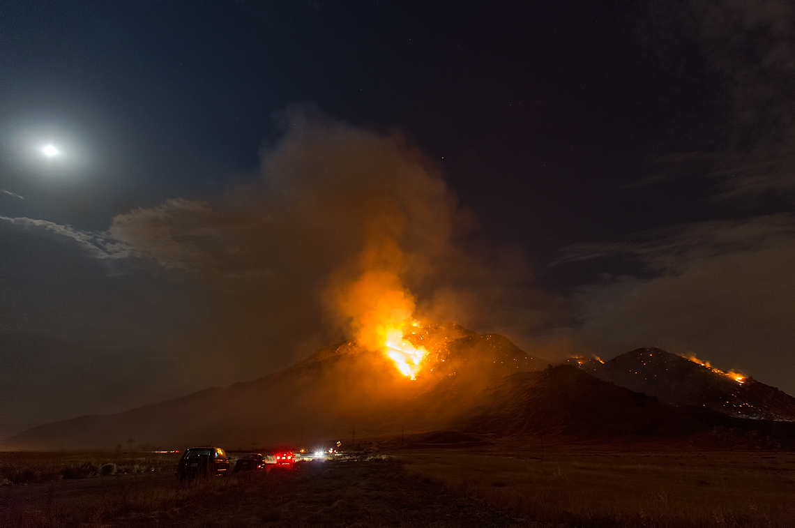
Fire under a Full Moon II
california autumn sunset sky storm fall clouds landscape countryside scenic hills valley morenovalley nortonyounglovereserve
Sunset Valley II
airtanker76 hemetryanairattackbase raab operafire highgrove californiadepartmentofforestryandfireprotection wildfire grummans2tracker s2t drop calfire firefighting airplane retardant smoke fire brushfire wildlandfire vegetationfire boxspringsmountain pigeonpass google getty explore interesting interestingness cscreativecloud photoshop adobe topazlabs denoise inlandempire riversidecounty riverside socal southerncalifornia california ca usa nature travel landscape canon 80d photo photographersnaturecom photographer picture 2017 april davetoussaint
Coming in Hard
california ca travel usa nature rain photoshop canon landscape photo interestingness google interesting day photographer picture clarity explore socal adobe valley colton april getty southerncalifornia adjust sanbernardino infocus 2014 inlandempire cs6 denoise 60d topazlabs photographersnaturecom davetoussaint
The Storm Starts
sunset selfportrait mountains nature birds landscape sitting cloudy farm horizon relaxing fields tres forever 365 agriculture wheatfield thecharlatans project365 inspiredbymusic humidday enjoytheview
Day 347/365: I know I'm going where the sun always shines (explored #328 on June 8, 2009)
california greenspotroad nikon sanbernardinocounty bridge clouds landscape photography sky sunset highland unitedstates
Bridge at Sunset
california ca railroad travel sky usa santafe nature train photoshop canon landscape photo interestingness interesting day skies photographer cs2 cloudy picture explore adobe depot southerncalifornia metrolink hdr sanbernardino infocus 2011 photomatix 40d topazlabs topazadjust topazdenoise photographersnaturecom davetoussaint
Taking the Weekend Off
Mount San Bernardino
mountain bike bicycle open space trails hills singletrack crafton mapmyride:route=296421965
Today's edition of perfect trail.