Elevation of Nice Ave, Mentone, CA, USA
Location: United States > California > San Bernardino County > Mentone >
Longitude: -117.10583
Latitude: 34.0656555
Elevation: 588m / 1929feet
Barometric Pressure: 94KPa
Elevation Map:
Satellite Map:
Related Photos:

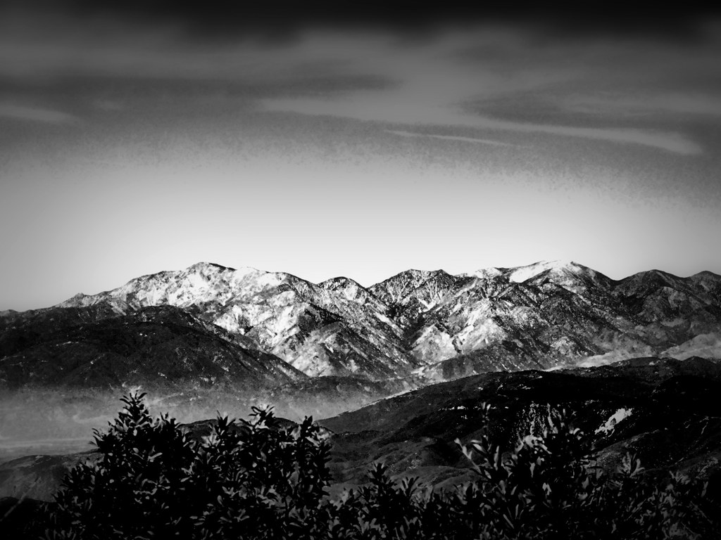
Spring Valley

A Mixture of Fog and Clouds
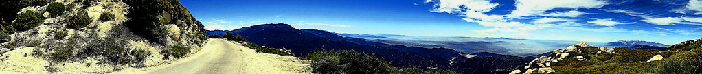
Keller Peak Road and View, SBNF
View From Running Springs

prcssd. combat camera. san bernardino, ca. 2011.

Thanksgiving Sunset HDR

ATK 714E @ El Casco
Redlands, CA

little people in the nexus

Lake Perris, Surrounded by Hills and Mountains

Early Morning View

prcssd. air tanker base. san bernardino, ca. 2011.

Valley View

Arched Doorway, Redlands Alleys 10-27-13s

Back From the Desert

Daylillies (2) 7-7-12

Sound of Music at the Redlands Bowl...
the view from here [7:52]

Ms. Brown's Class

Sunset Valley I

Erosion Scar [EXPLORED 5/26/17 - highest position #327]

Mill Creek Canyon

Snaking Up Beaumont
San Gabriels from Keller Peak, SBNF

Mill Creek Canyon

Beaumont, California

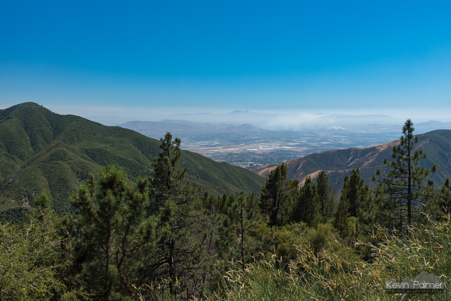
San Gabriel Mountains over Inland Empire, CA 2016 (In EXPLORE)

Mount San Bernardino, SBNF

UP 7492

Apple Orchard Autumn, Oak Glen, CA 2019

New Season

Palms, Oranges and San Gabriel Mountains, CA Christmas 2016

Mill Creek Storm Sunset
San Gorgonio, SBNF (toned)

Santa Ana River Canyon, SBNF

Fireside, the Burning

Alpine Rockpile and Mountains, SBNF

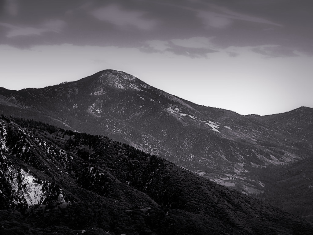
Spring Valley

Little San Gorgonio Peak, Highway 38, California
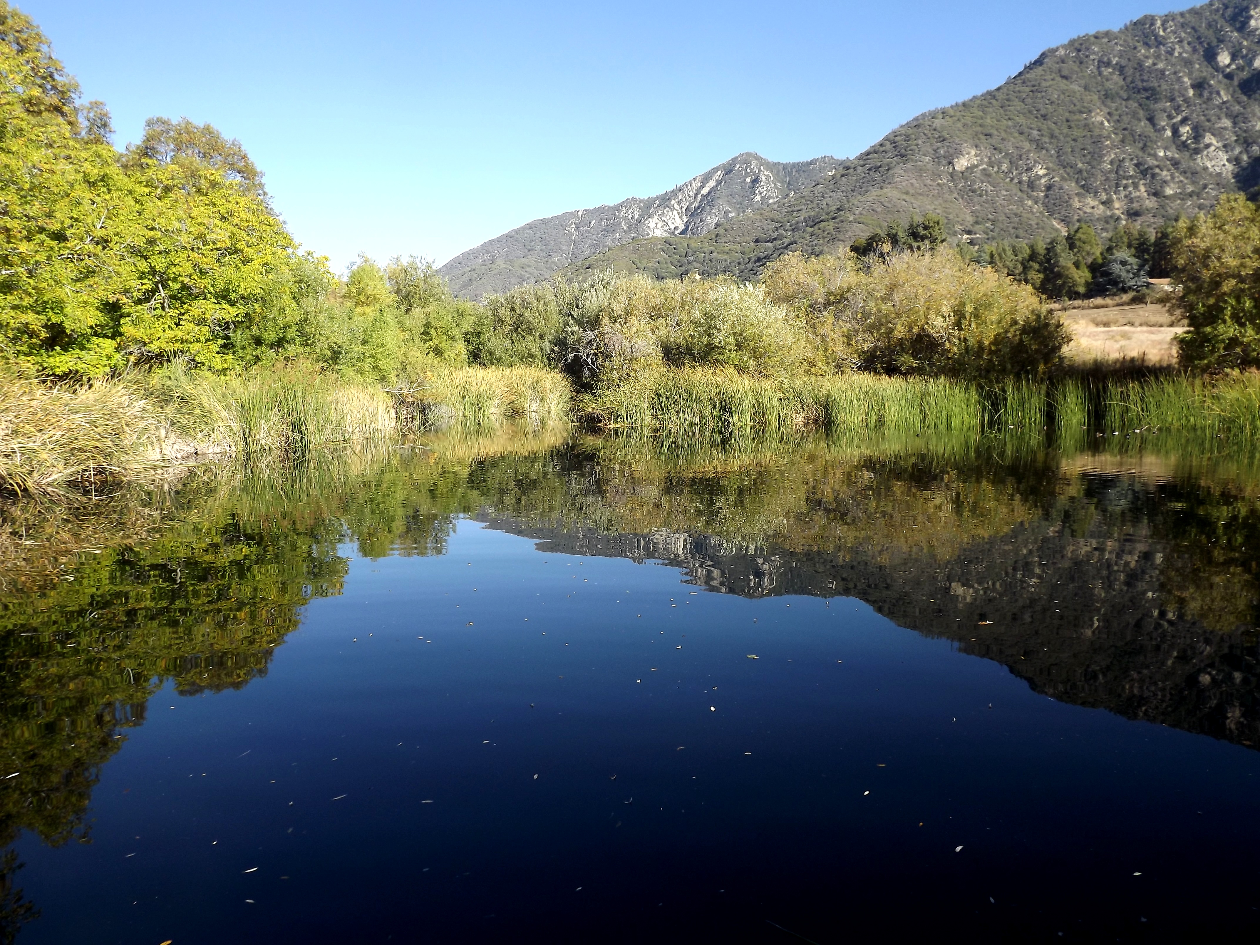
pond reflectin
Topographic Map of Nice Ave, Mentone, CA, USA
Find elevation by address:

Places near Nice Ave, Mentone, CA, USA:
Naples Ave, Mentone, CA, USA
Crafton
2350 Mentone Ave
1380 Beryl Ave
Mill Creek Cattle Company ~ Mill Creek Weddings
1365 Beryl Ave
Mentone
1350 Wabash Ave
311 Wabash Ave
Yucaipa Blvd, Yucaipa, CA, USA
11748 Clarion Ct
1216 Vía Barcelona
31816 Avenue E
12357 Ross Pl
12357 Ross Pl
15 Dolores Ct
33411 Miners Dr
1216 Jasmine St
31514 Avenue E
31453 Avenue E
Recent Searches:
- Elevation of 4 Vale Rd, Sheffield S3 9QX, UK
- Elevation of Keene Point Drive, Keene Point Dr, Grant, AL, USA
- Elevation of State St, Zanesville, OH, USA
- Elevation of Austin Stone Dr, Haslet, TX, USA
- Elevation of Bydgoszcz, Poland
- Elevation of Bydgoszcz, Poland
- Elevation of Calais Dr, Del Mar, CA, USA
- Elevation of Placer Mine Ln, West Jordan, UT, USA
- Elevation of E 63rd St, New York, NY, USA
- Elevation of Elk City, OK, USA