Elevation of Monticello, KY, USA
Location: United States > Kentucky > Wayne County >
Longitude: -84.849112
Latitude: 36.8297937
Elevation: 281m / 922feet
Barometric Pressure: 98KPa
Elevation Map:
Satellite Map:
Related Photos:
SP37_0002.JPG
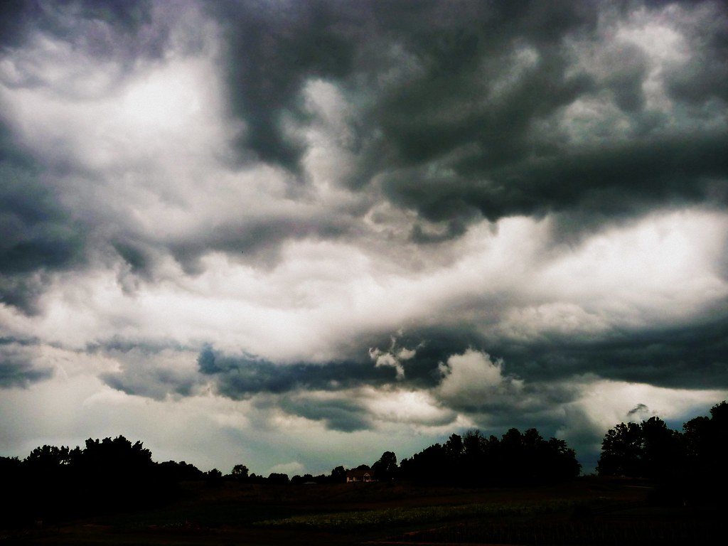
Storm's-a-brewin'

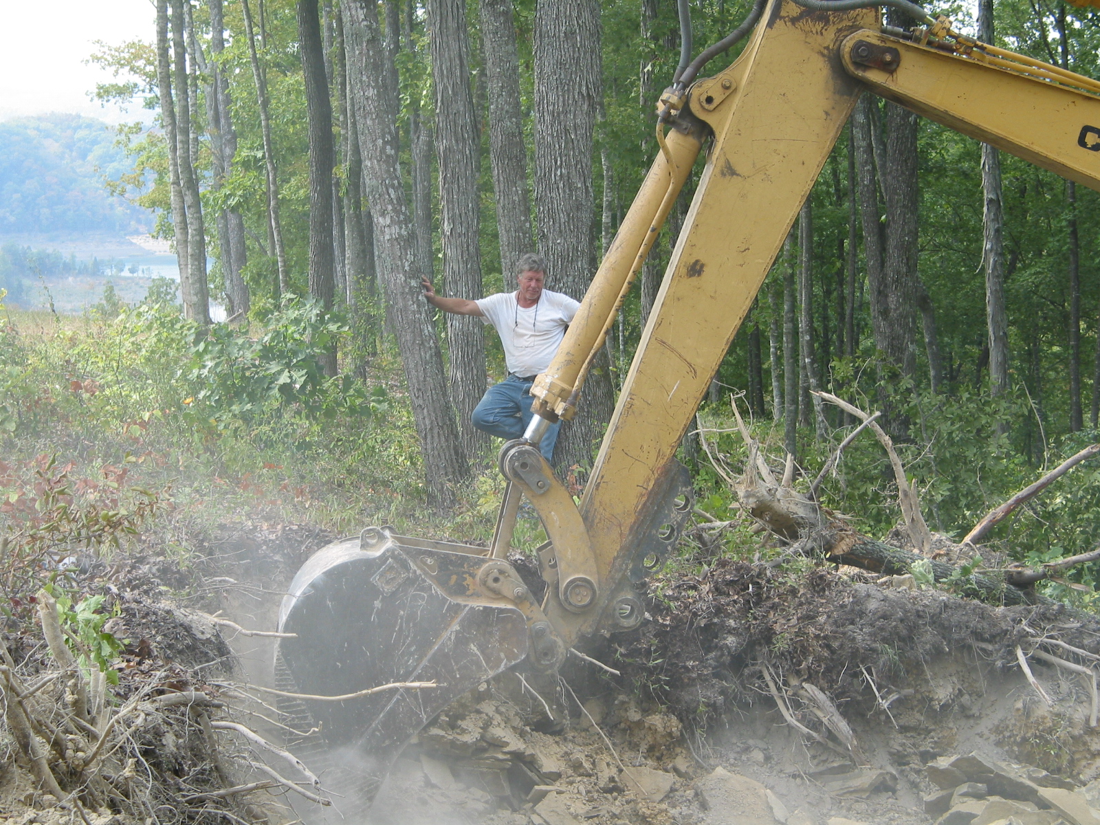
104-0414_IMG

2012-07-07 12.40.14.jpg

104-0420_IMG
Mill Springs Mill
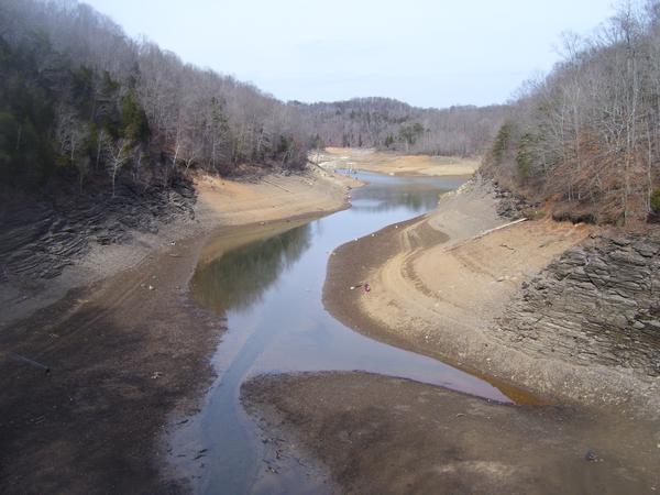
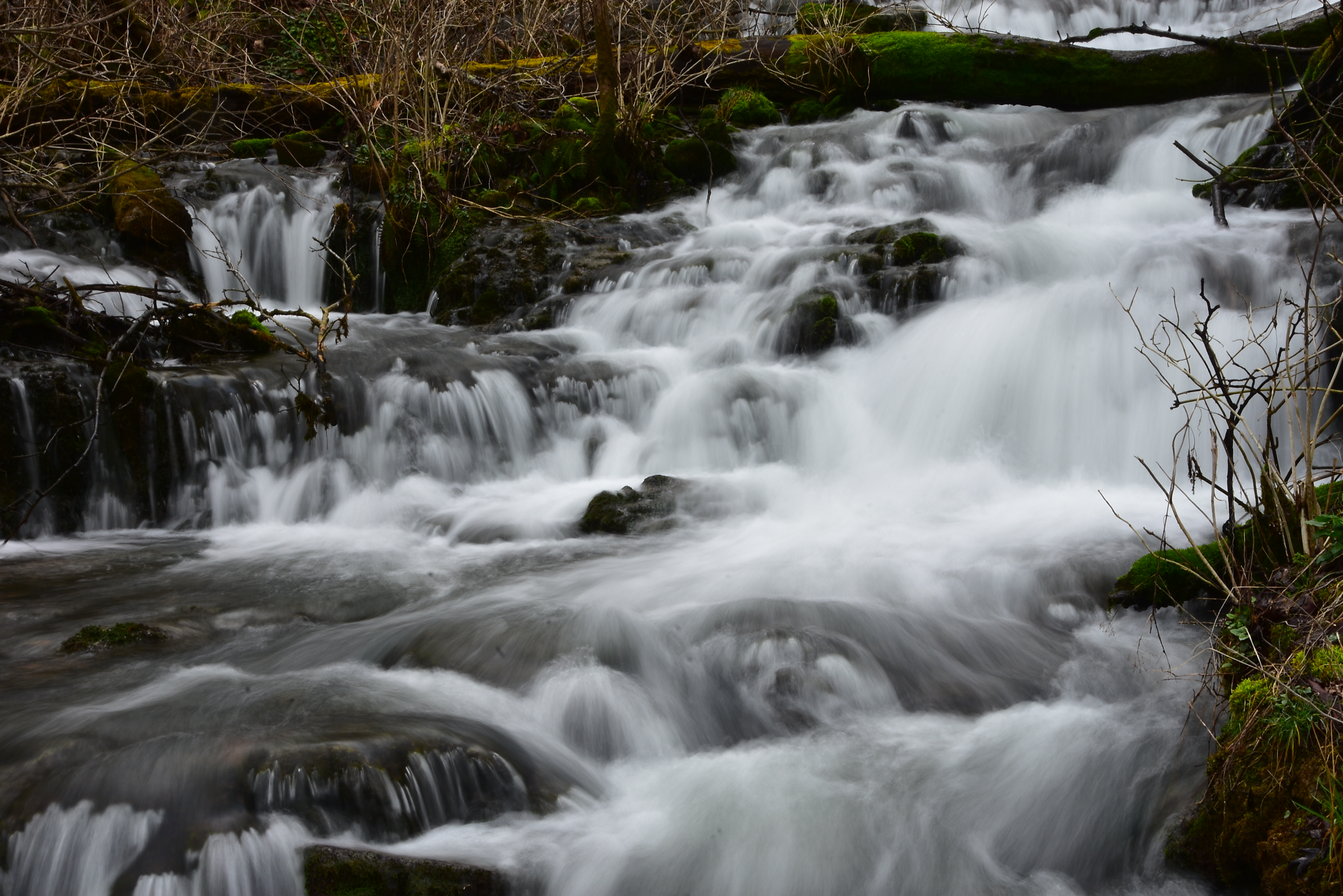
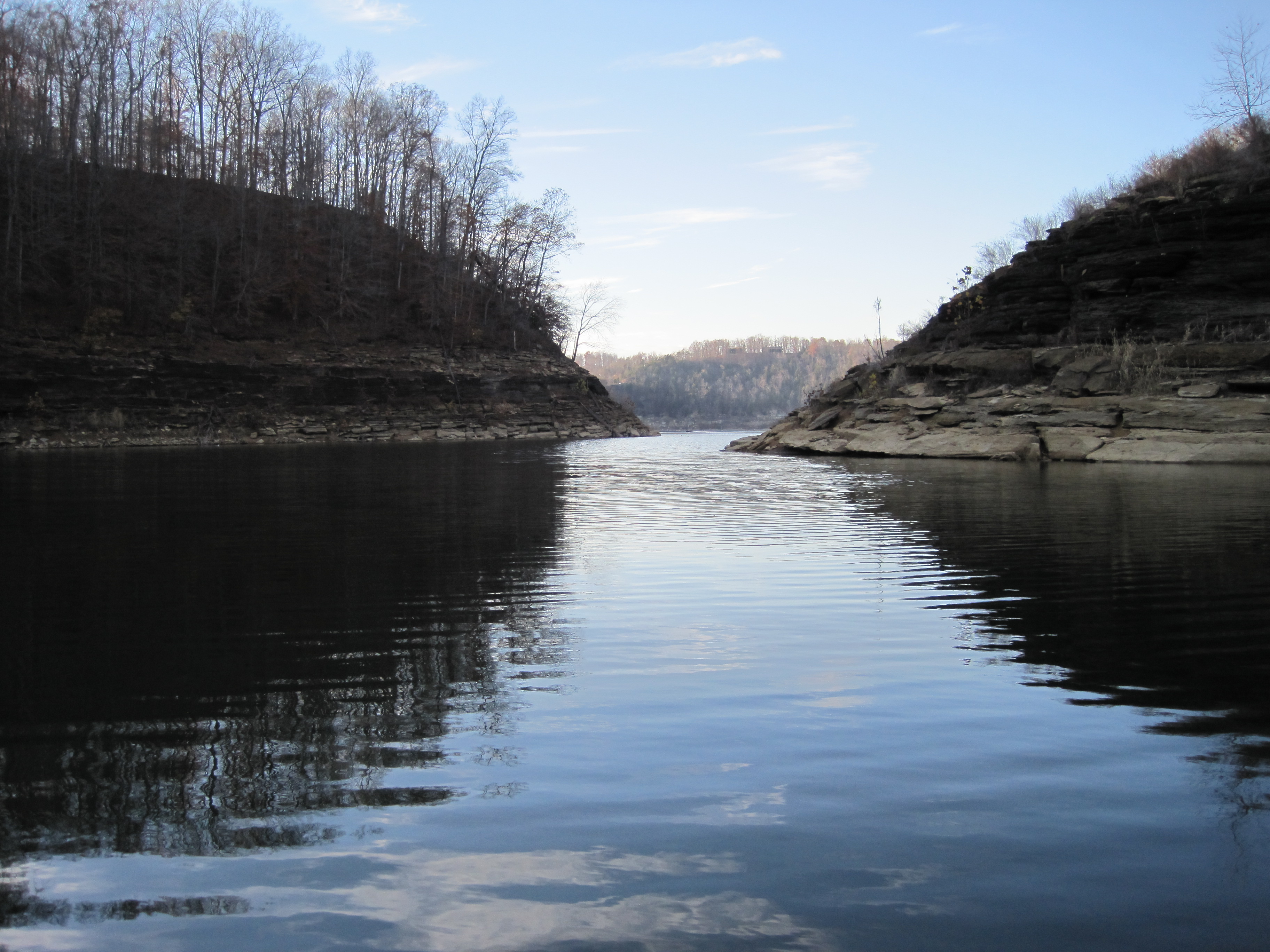
As the lake dries up at 76 Falls
Mill Springs Mill
Mill Springs Mill

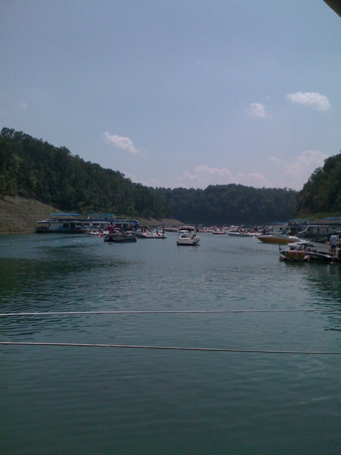
Sunset on Pier 9 (I)
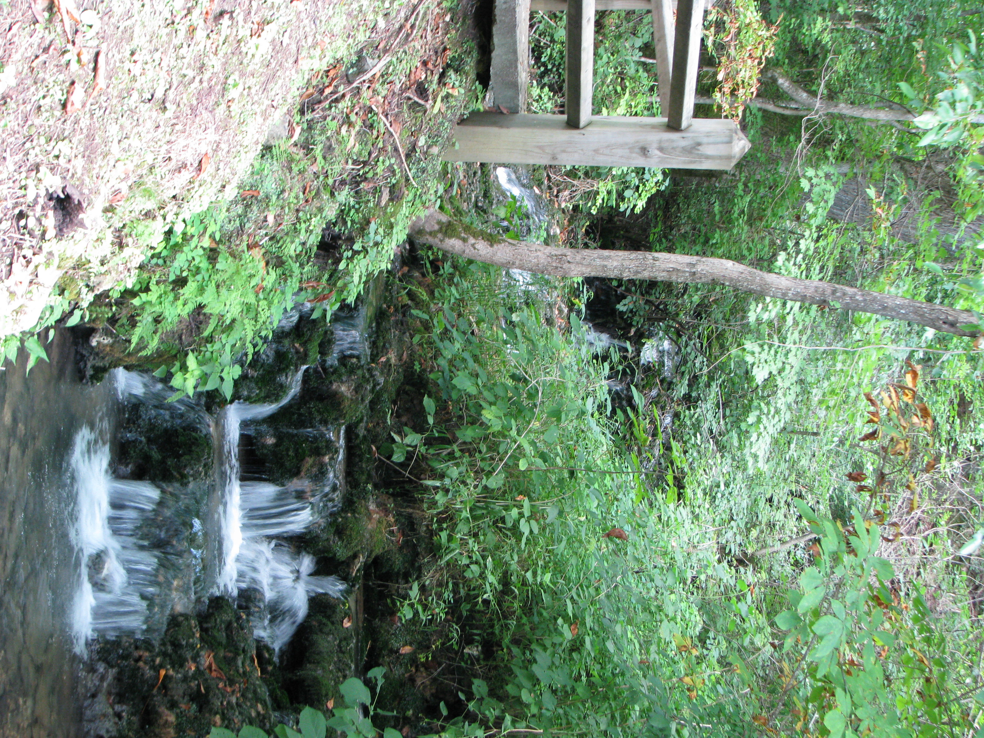
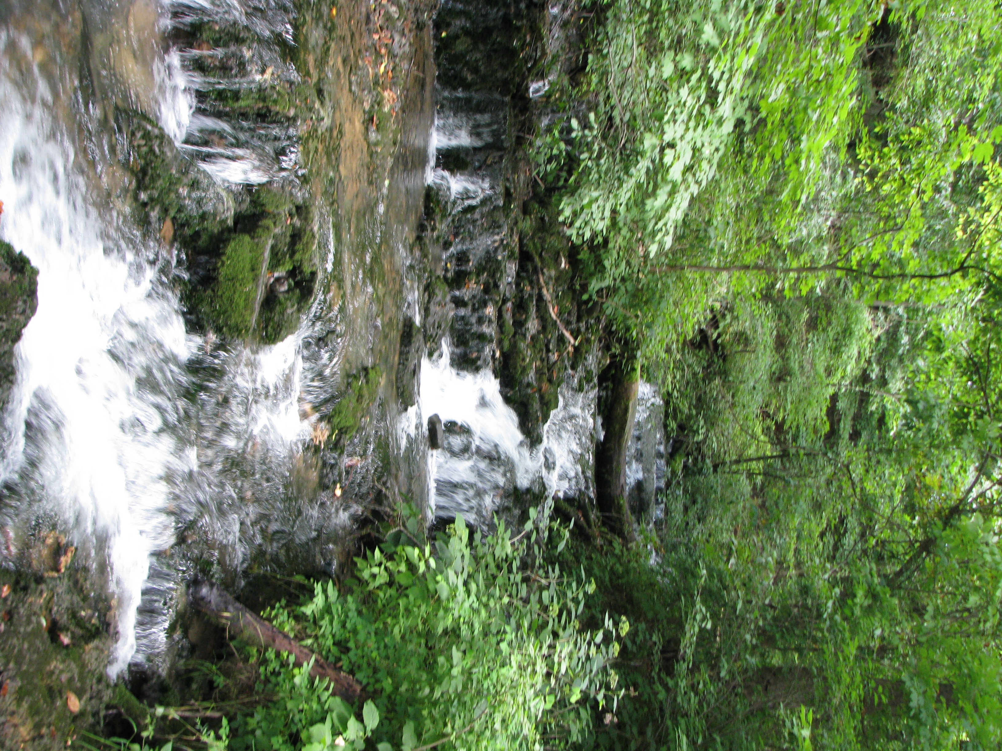
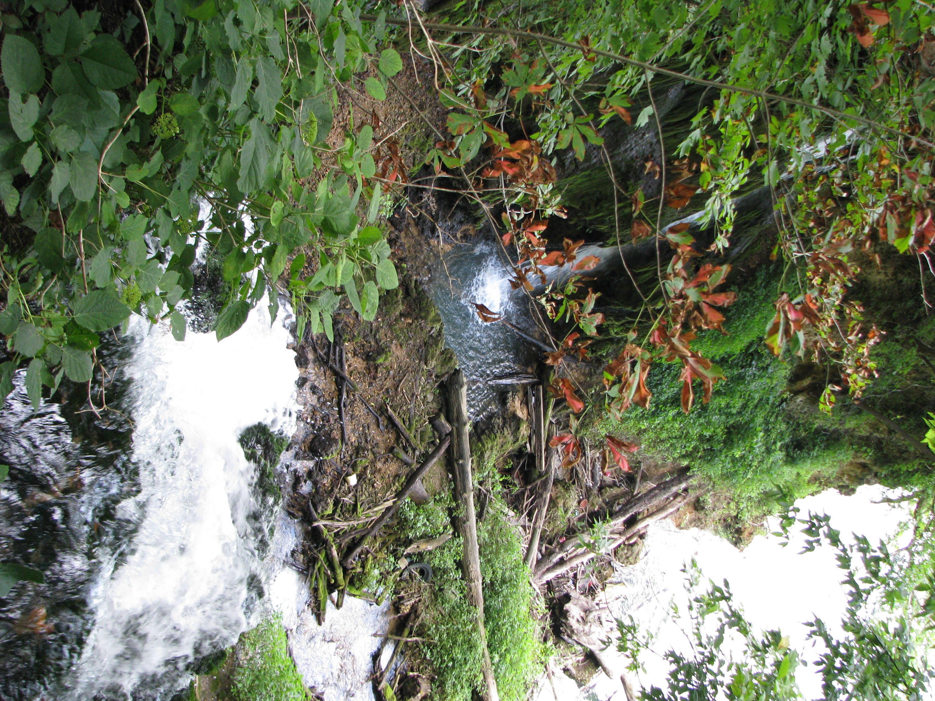
Mill Springs Falls, Kentucky
Mill Springs Mill
Mill Springs Mill
Mill Springs Mill

146-4636_IMG
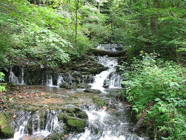
Rushing waters

134-3463_IMG

Eadsville, Aug 2, 2008
Eadsville, Aug 2, 2008

145-4566_IMG
2010-11-15_Sandstone005
SP37_0006.JPG
Topographic Map of Monticello, KY, USA
Find elevation by address:

Places in Monticello, KY, USA:
Old Mill Springs Rd, Monticello, KY, USA
Ky-, Monticello, KY, USA
Burnett Hollow Rd, Monticello, KY, USA
KY-90, Monticello, KY, USA
95 Ky-, Monticello, KY, USA
Sloan Hollow Rd, Monticello, KY, USA
Ky-, Monticello, KY, USA
Ky-, Monticello, KY, USA
State Hwy, Monticello, KY, USA
Lizzie Sharp Road
Jennings Hollow Road
Places near Monticello, KY, USA:
86 Pine St
15 Dawn Ct
State Hwy, Monticello, KY, USA
Wayne County
Burnett Hollow Rd, Monticello, KY, USA
Ky-, Monticello, KY, USA
KY-90, Monticello, KY, USA
Old Mill Springs Rd, Monticello, KY, USA
Sloan Hollow Rd, Monticello, KY, USA
Ky-, Monticello, KY, USA
Jennings Hollow Road
48 Alligator Cove, Russell Springs, KY, USA
Kentucky 90
Lizzie Sharp Road
95 Ky-, Monticello, KY, USA
163 Tall Timbers Dr
State Hwy, Albany, KY, USA
State Hwy, Russell Springs, KY, USA
235 Taylor Cir
32 Dockery Rd
Recent Searches:
- Elevation of Corso Fratelli Cairoli, 35, Macerata MC, Italy
- Elevation of Tallevast Rd, Sarasota, FL, USA
- Elevation of 4th St E, Sonoma, CA, USA
- Elevation of Black Hollow Rd, Pennsdale, PA, USA
- Elevation of Oakland Ave, Williamsport, PA, USA
- Elevation of Pedrógão Grande, Portugal
- Elevation of Klee Dr, Martinsburg, WV, USA
- Elevation of Via Roma, Pieranica CR, Italy
- Elevation of Tavkvetili Mountain, Georgia
- Elevation of Hartfords Bluff Cir, Mt Pleasant, SC, USA