Elevation of KY-90, Monticello, KY, USA
Location: United States > Kentucky > Wayne County > Monticello >
Longitude: -84.953593
Latitude: 36.7763913
Elevation: 316m / 1037feet
Barometric Pressure: 98KPa
Elevation Map:
Satellite Map:
Related Photos:

SP37_0002.JPG

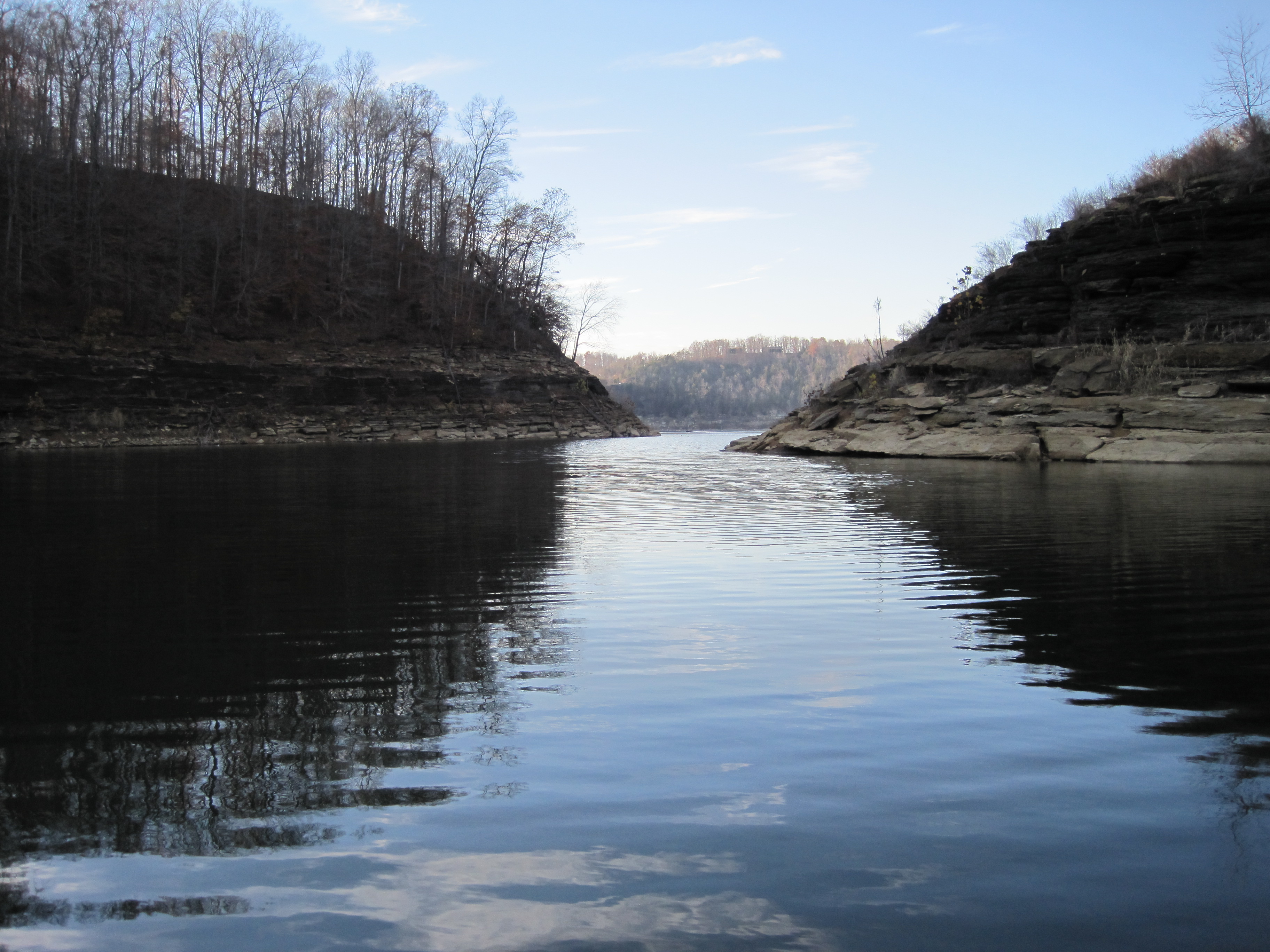
Cumberland Lake

104-0414_IMG
76FallsIMG_9312-1

2012-07-07 12.40.14.jpg

104-0420_IMG
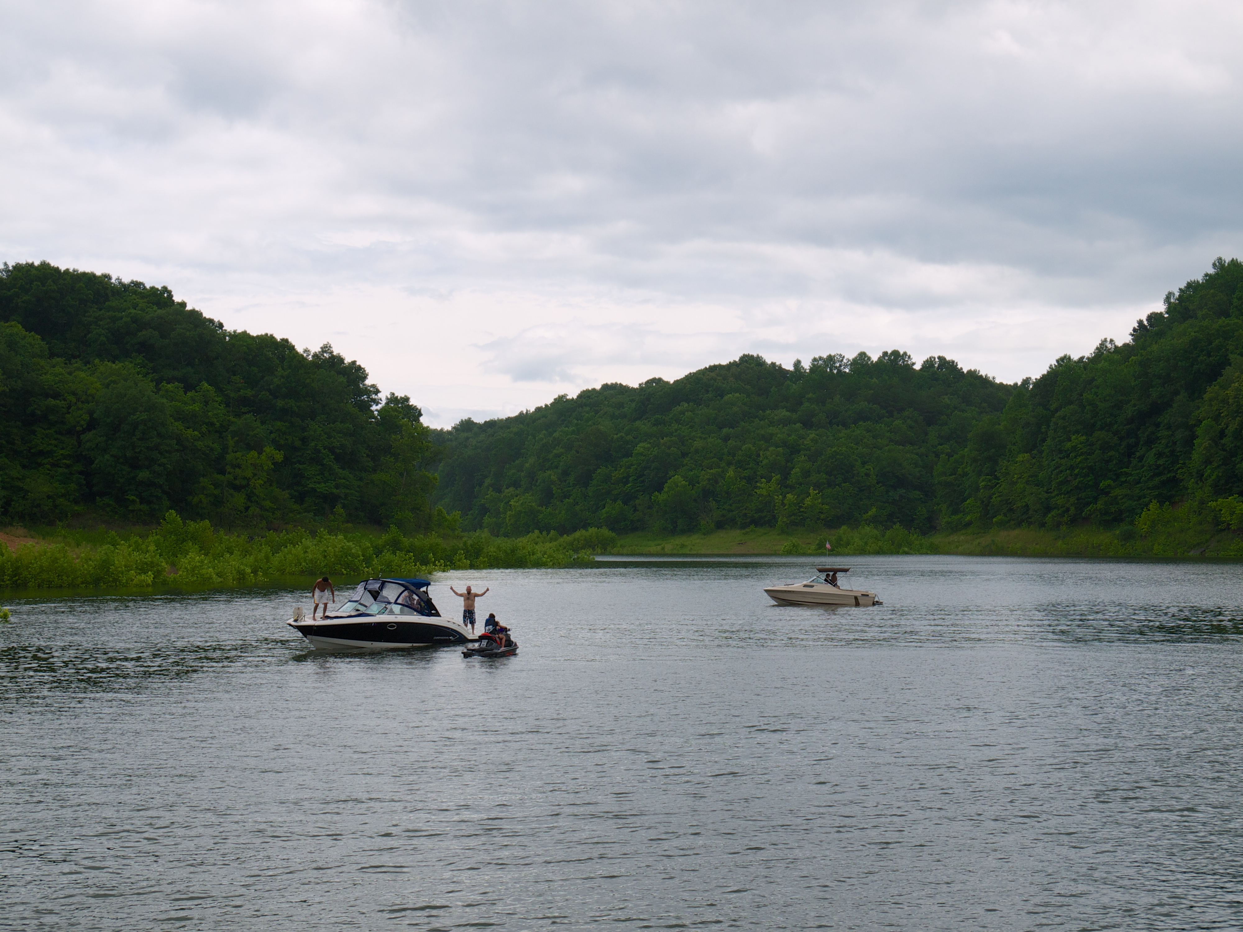
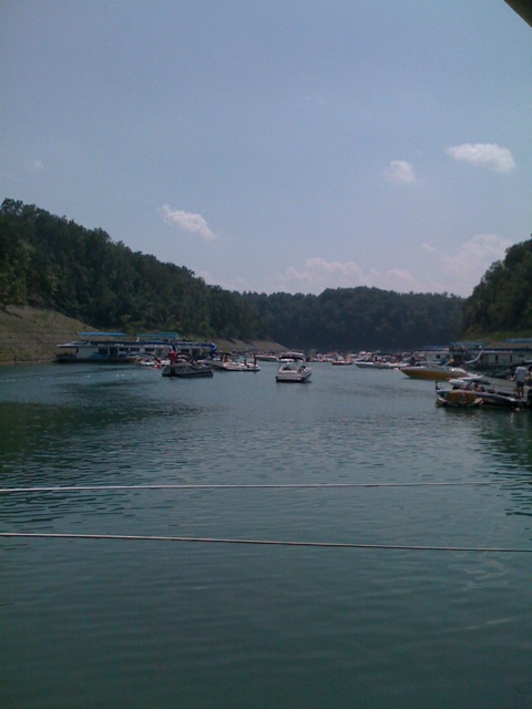
Lake Cumberland
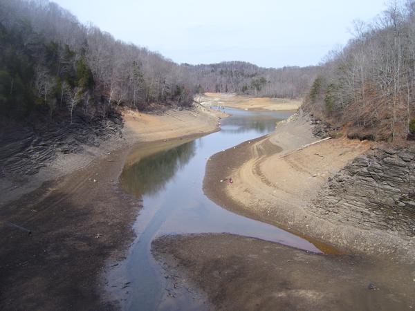
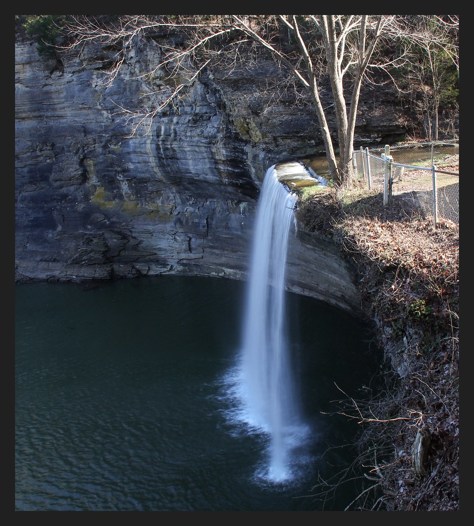
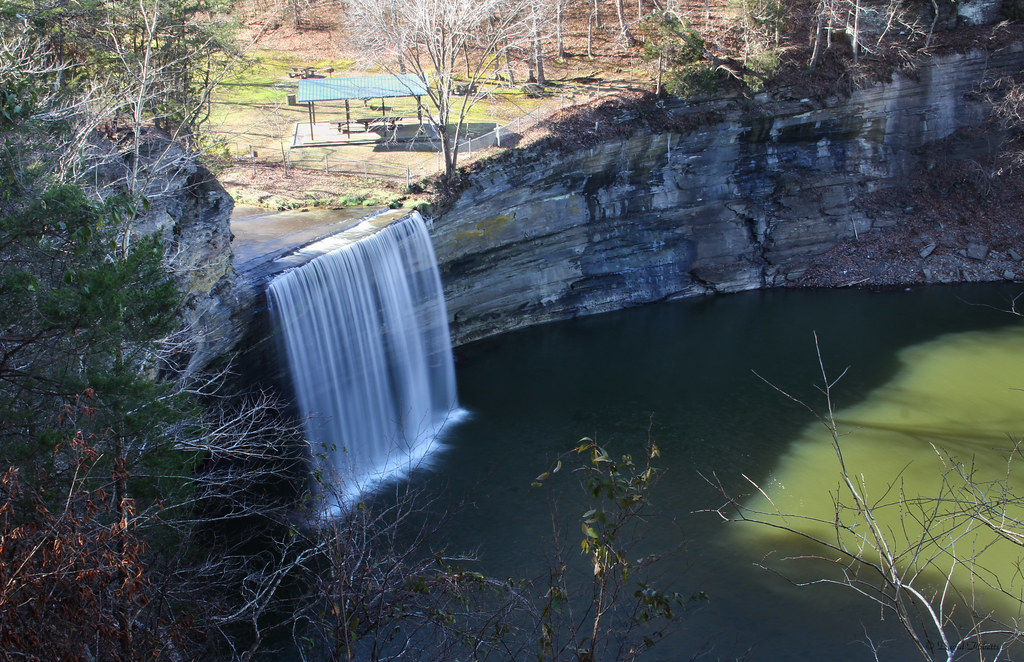
As the lake dries up at 76 Falls
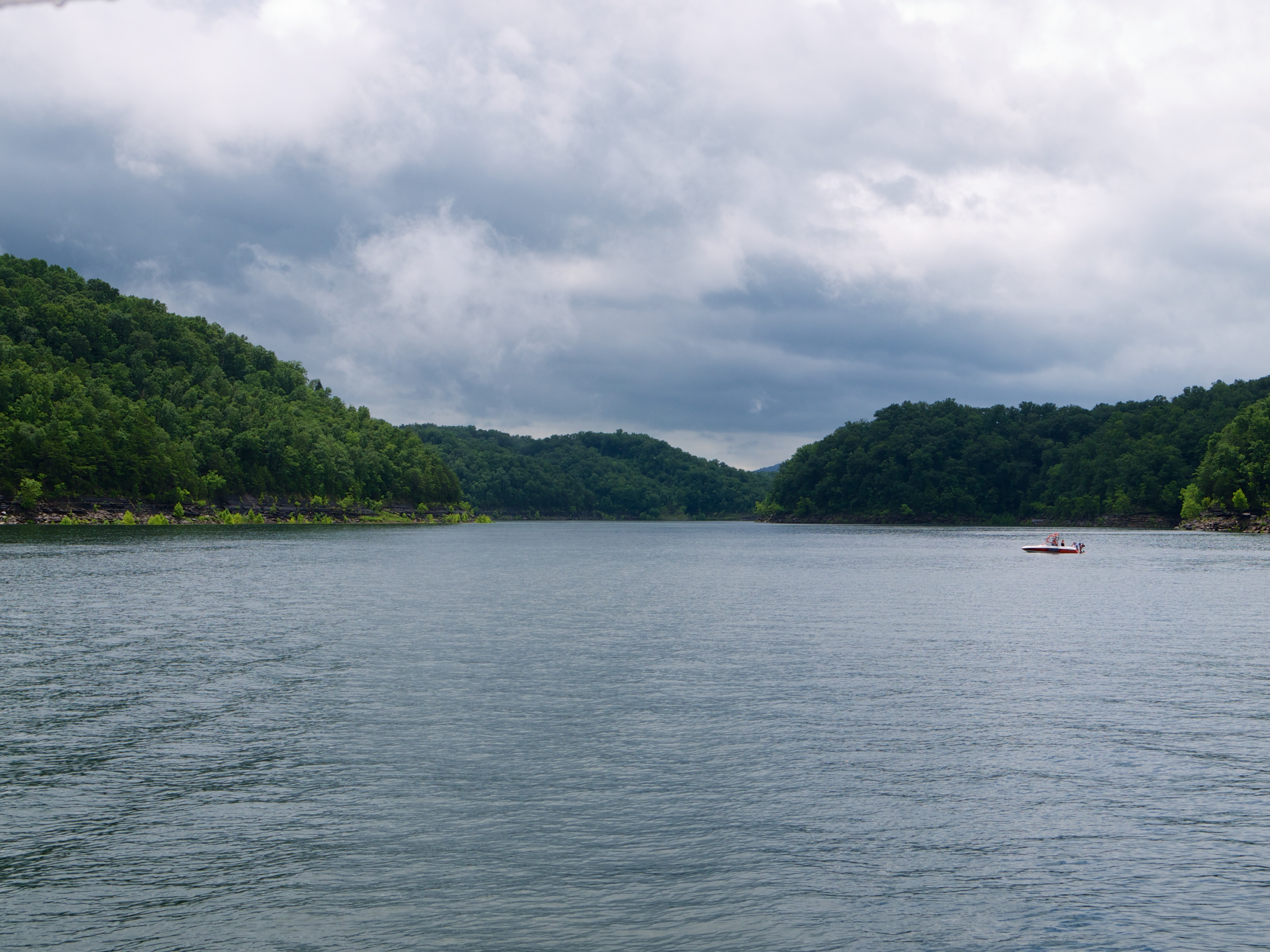
Lake Cumberland
2010-11-15_Sandstone005

Sunset on Pier 9 (I)
76FallsIMG_9272-1

146-4636_IMG
Pictures 2014 063

134-3463_IMG

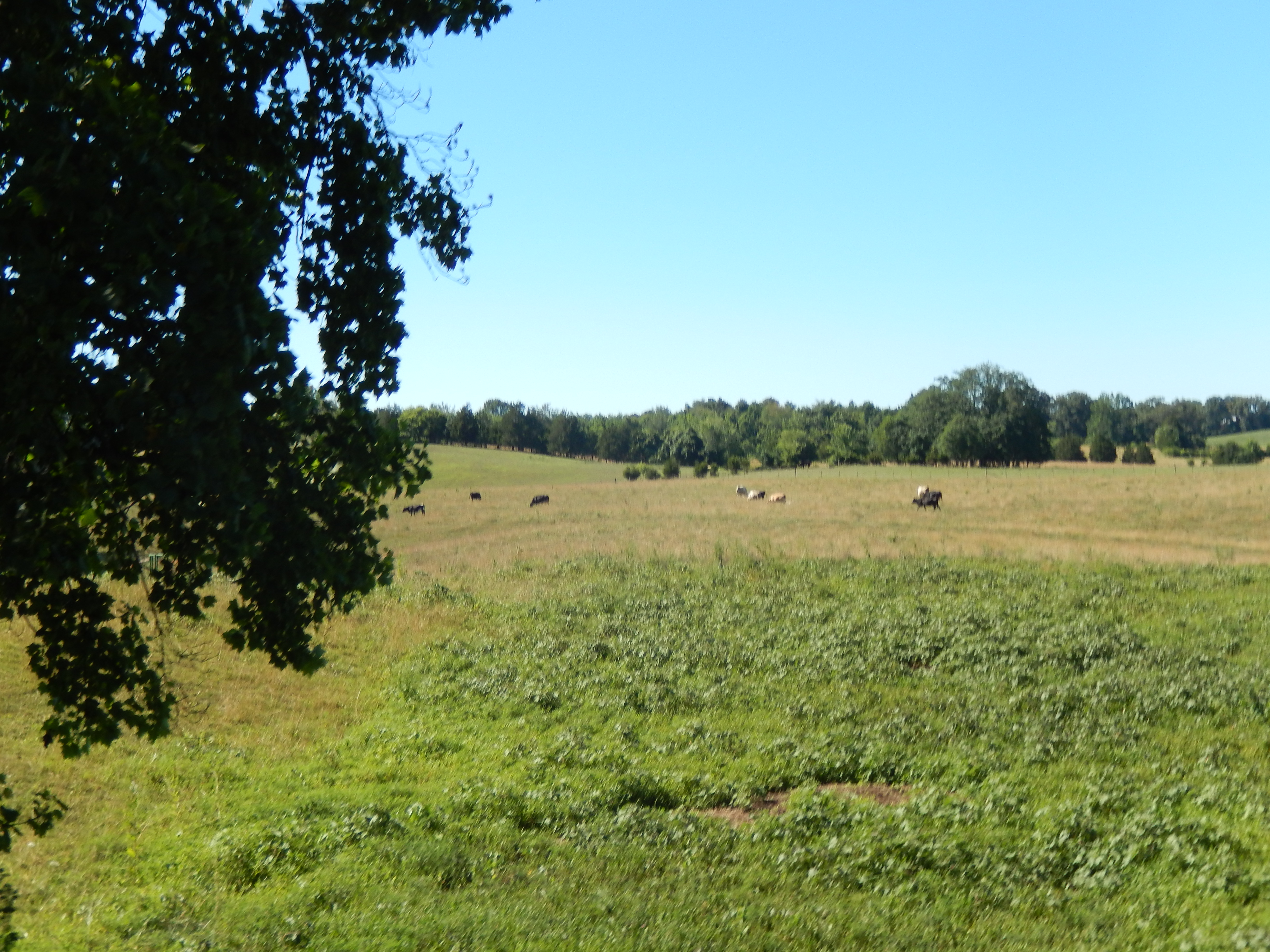
Eadsville, Aug 2, 2008
Eadsville, Aug 2, 2008

145-4566_IMG
SP37_0006.JPG
2010-11-15_Sandstone003
Topographic Map of KY-90, Monticello, KY, USA
Find elevation by address:

Places near KY-90, Monticello, KY, USA:
Ky-, Monticello, KY, USA
Ky-, Monticello, KY, USA
Jennings Hollow Road
Kentucky 90
Wayne County
State Hwy, Monticello, KY, USA
Monticello
State Hwy, Albany, KY, USA
95 Ky-, Monticello, KY, USA
86 Pine St
Ky-, Monticello, KY, USA
State Hwy, Albany, KY, USA
15 Dawn Ct
Burnett Hollow Rd, Monticello, KY, USA
State Hwy, Albany, KY, USA
163 Tall Timbers Dr
918 Rainbow Dr
Crabtree Rd, Pall Mall, TN, USA
Albany
Clinton County
Recent Searches:
- Elevation of Groblershoop, South Africa
- Elevation of Power Generation Enterprises | Industrial Diesel Generators, Oak Ave, Canyon Country, CA, USA
- Elevation of Chesaw Rd, Oroville, WA, USA
- Elevation of N, Mt Pleasant, UT, USA
- Elevation of 6 Rue Jules Ferry, Beausoleil, France
- Elevation of Sattva Horizon, 4JC6+G9P, Vinayak Nagar, Kattigenahalli, Bengaluru, Karnataka, India
- Elevation of Great Brook Sports, Gold Star Hwy, Groton, CT, USA
- Elevation of 10 Mountain Laurels Dr, Nashua, NH, USA
- Elevation of 16 Gilboa Ln, Nashua, NH, USA
- Elevation of Laurel Rd, Townsend, TN, USA