Elevation of Ky-, Monticello, KY, USA
Location: United States > Kentucky > Wayne County > Monticello >
Longitude: -84.958468
Latitude: 36.8136789
Elevation: 316m / 1037feet
Barometric Pressure: 98KPa
Elevation Map:
Satellite Map:
Related Photos:

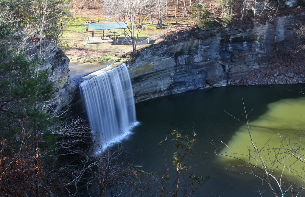
SP37_0002.JPG
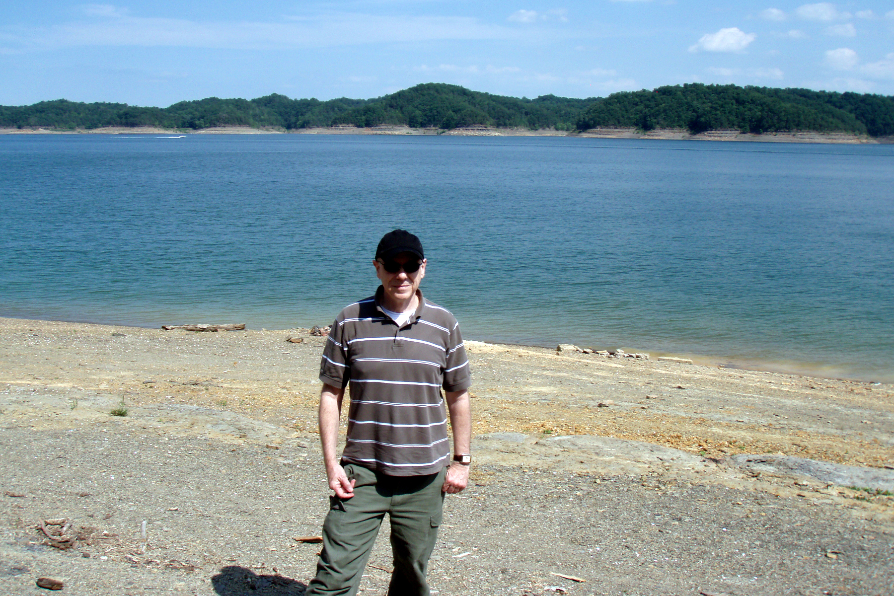
View of Lake Cumberland

View of Lake Cumberland

Cumberland Lake

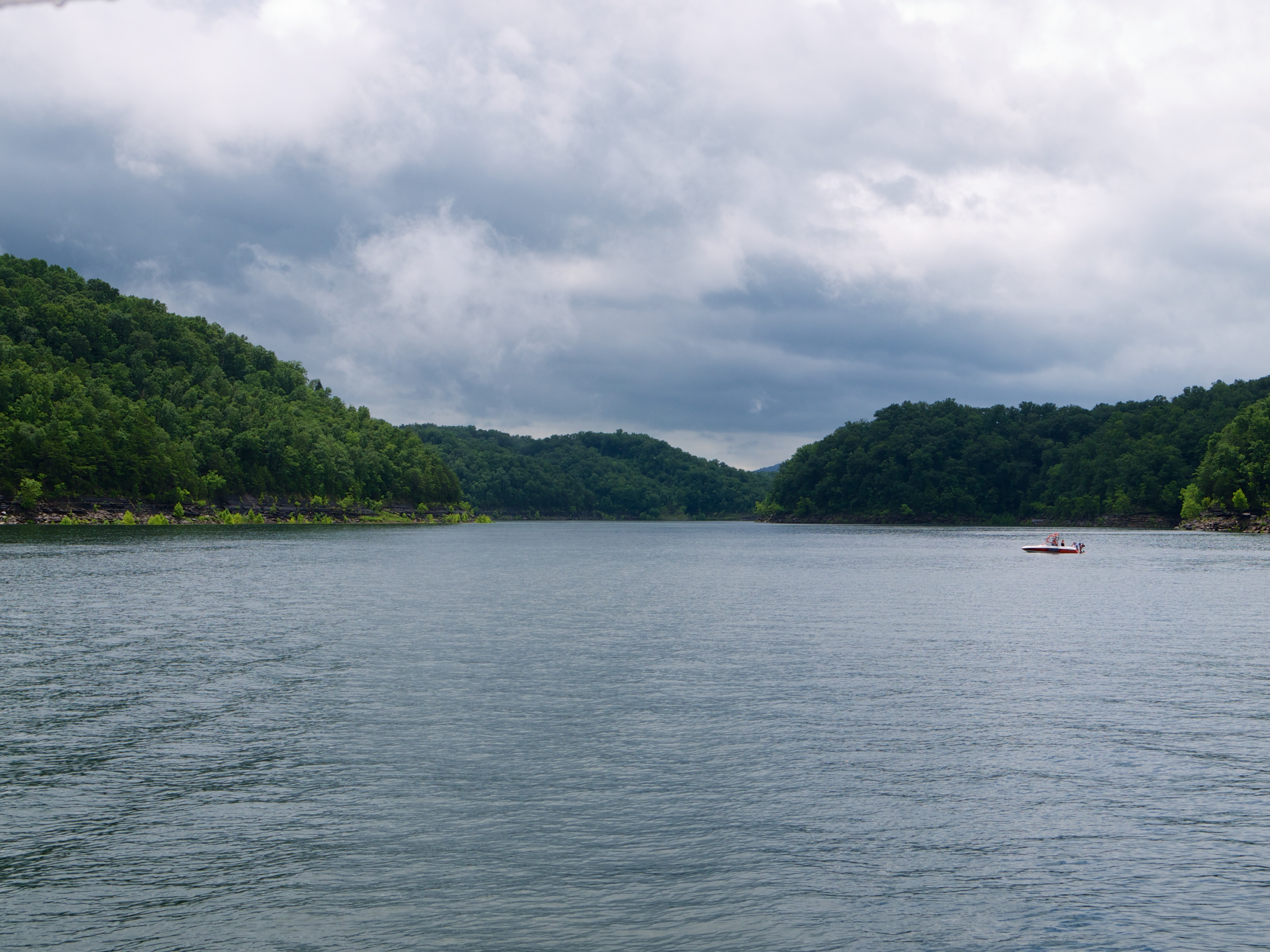
Lake Cumberland
Bye bye Lake Cumberland
Lake Cumberland Lodge

104-0414_IMG
76FallsIMG_9312-1
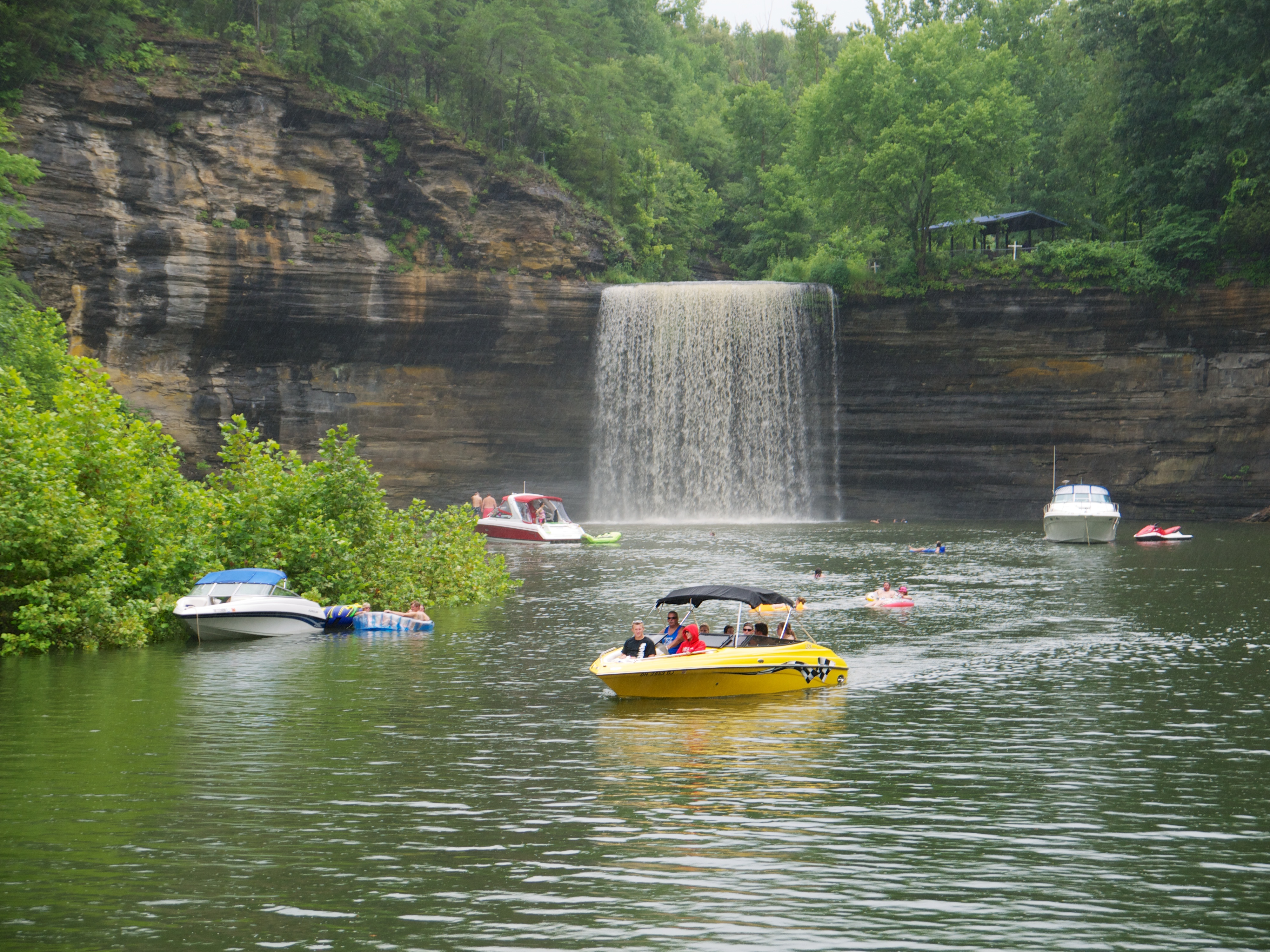
Lake Cumberland

104-0420_IMG
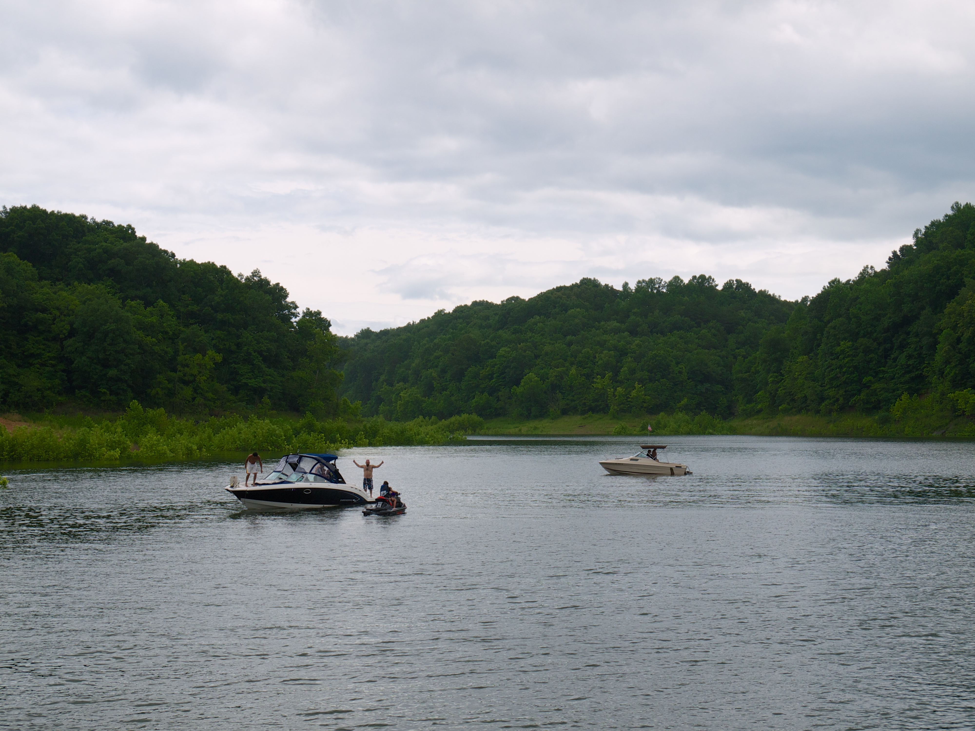
Lake Cumberland

Lake Cumberland Sunset
2010-11-15_Sandstone005
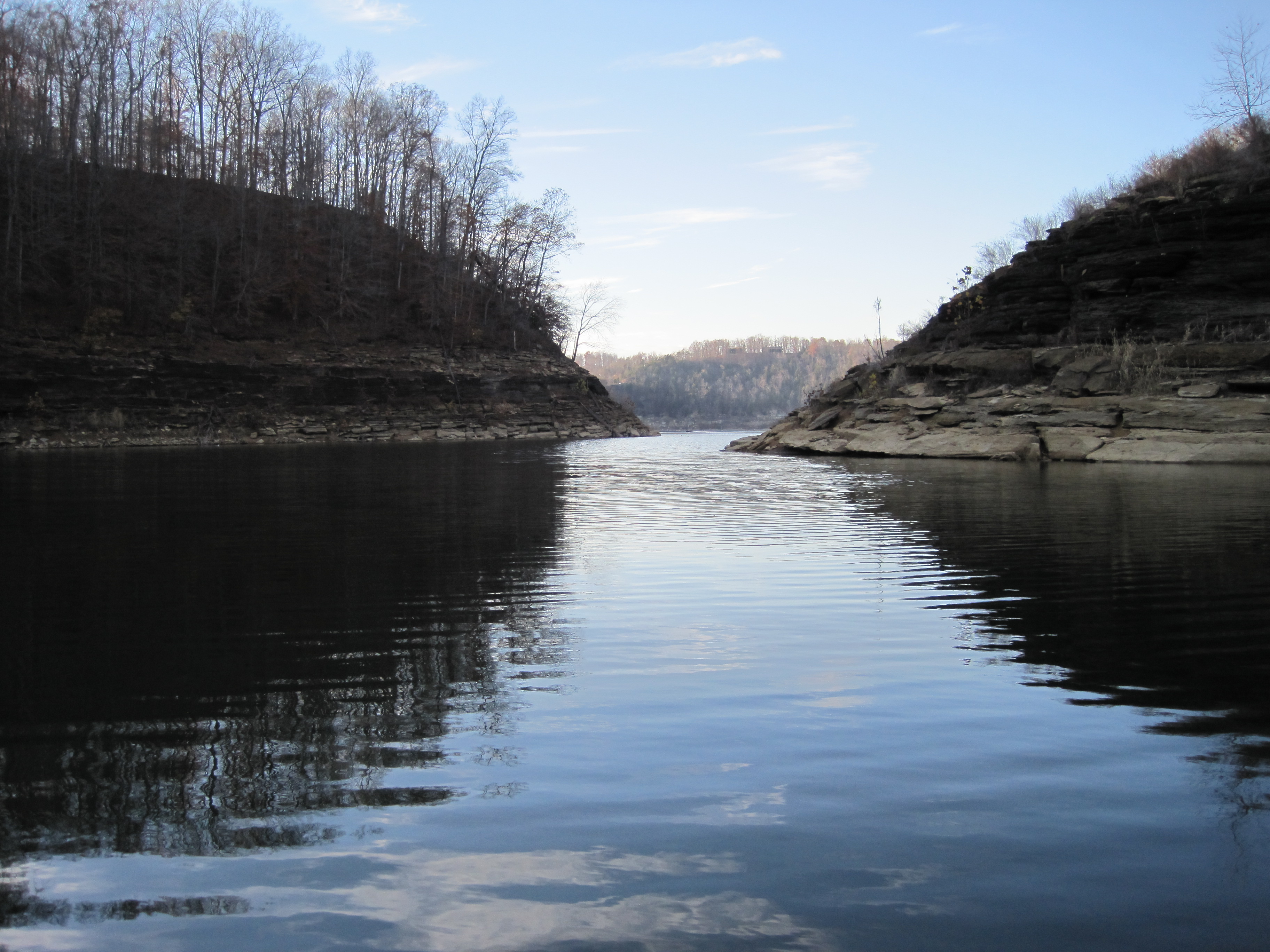
Lake Cumberland

Sunset on Pier 9 (I)
76FallsIMG_9272-1

146-4636_IMG
Jane Ellen (Beck) Leveridge

134-3463_IMG
Eadsville, Aug 2, 2008
Eadsville, Aug 2, 2008

145-4566_IMG
SP37_0006.JPG
Topographic Map of Ky-, Monticello, KY, USA
Find elevation by address:

Places near Ky-, Monticello, KY, USA:
KY-90, Monticello, KY, USA
Ky-, Monticello, KY, USA
Jennings Hollow Road
Kentucky 90
Monticello
State Hwy, Albany, KY, USA
Wayne County
86 Pine St
State Hwy, Monticello, KY, USA
15 Dawn Ct
State Hwy, Albany, KY, USA
163 Tall Timbers Dr
95 Ky-, Monticello, KY, USA
Burnett Hollow Rd, Monticello, KY, USA
48 Alligator Cove, Russell Springs, KY, USA
Ky-, Monticello, KY, USA
KY-55, Jamestown, KY, USA
State Hwy, Albany, KY, USA
32 Dockery Rd
Wolf Creek National Fish Hatchery Visitor And Environmental Education Center
Recent Searches:
- Elevation of Leguwa, Nepal
- Elevation of County Rd, Enterprise, AL, USA
- Elevation of Kolchuginsky District, Vladimir Oblast, Russia
- Elevation of Shustino, Vladimir Oblast, Russia
- Elevation of Lampiasi St, Sarasota, FL, USA
- Elevation of Elwyn Dr, Roanoke Rapids, NC, USA
- Elevation of Congressional Dr, Stevensville, MD, USA
- Elevation of Bellview Rd, McLean, VA, USA
- Elevation of Stage Island Rd, Chatham, MA, USA
- Elevation of Shibuya Scramble Crossing, 21 Udagawacho, Shibuya City, Tokyo -, Japan